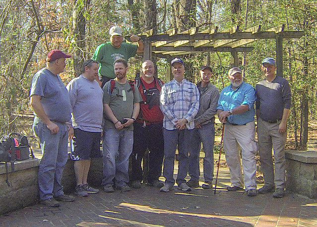
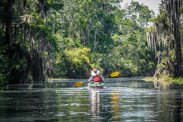
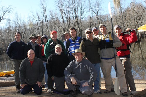
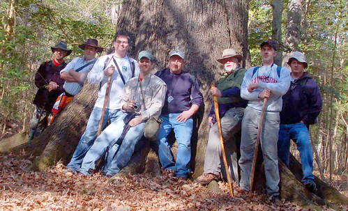
It has been our tradition to do a hike with our Lowcountry Unfiltered group on the first Second Saturday of the year. This year Second Saturday is a bit later in January as New Year’s was on a Sunday. I guess that’s as late in the month as it can get. This year we decided to return to the site of our first Swamp Stomp, Congaree National Park.
Tag: swamp
It was the second Saturday of the month and time for a Lowcountry Unfiltered Adventure. Wait. Didn’t I start the last post like that? Possibly, but the Saturday had actually arrived, and it was time to hit the water. I had spent a restful night in Waycross, Georgia, but now it was time to explore the waterways of the Okefenokee Swamp.
A second Saturday in May, and time for another Lowcountry Unfiltered trip. This time our group was heading back to Sparkleberry Swamp, and we had perfect weather and water levels for it. Unfortunately, because there was perfect weather, many of our group had other places to be. So, only four brave souls ventured further into the swamp than we’ve ever been. It was a nearly perfect day in the swamp. (Have I said the word “perfect” enough?)
I got up early Saturday morning and made the drive down to the Sparkleberry Landing put-in. Initially I had the place to myself, with only a few boat trailers. As I unloaded the boats I brought, a couple of guys came up to me and asked about kayaking.
We spent the night in St. George. It was far enough away from the Charleston and coastal areas for us to find a room, but fairly close to our morning destination. The plan was to hit Beidler Forest as soon as it opened at 9:00 and spend as much time as possible there.
We had planned to visit yesterday, but when we checked the calendar on their website we saw that three fifth grade classes were going to be visiting. I’m sure it was going to be a great visit for the kids, but that meant it would probably be too noisy for our tastes.
Laura and I have been coming to watch birds at Beidler for many years now. The 2 mile boardwalk winds through an area of Four Holes Swamp, and one of the main attractions is the bright yellow Prothonotary Warbler. We hoped to spot a few, as well as some other birds on our visit today.
As we pulled into the parking lot a family with teens and pre-teens unloaded. The kids were loud, and we feared the worst. However, as soon as they got on the boardwalk they got quiet. Their parents had told them that if they hoped to spot any wildlife they would have to walk quietly. Even so, we took the boardwalk in the opposite direction so as to maximize our chances of seeing something.
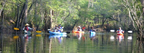
For our April Second Saturday Lowcountry Unfiltered trip, the group decided to head back to Ebenezer Creek. The last time our group had paddled this tributary of the Savannah River was a snowy February in 2010. I had planned to go on that trip, but a rare snowstorm prevented my joining them. I heard tales and saw photos of a cold snow-covered paddle through beautiful cypress cathedrals. I hated missing the first trip, and was really looking forward to this one.
Ebenezer Creek flows into the Savannah River at Ebenezer Landing, about 10 miles above where I-95 crosses the Savannah. The area is overflowing with history, as the site of one of the earliest settlements in Georgia, and the location of one of the worst betrayals of the Civil War.
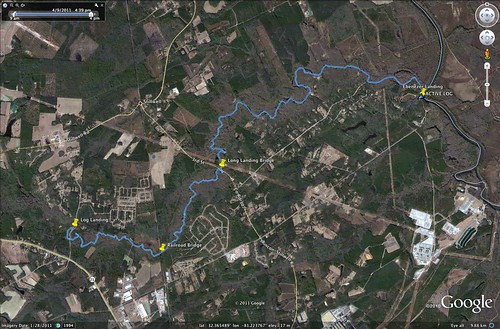
Our plan was to put in at Log Landing and paddle down to Ebenezer Landing for a 10.4 mile trip. This added about 3 miles to the group’s previous trip.
This week is my spring break, and despite the fact that I still needed to go into the office and work a couple of days, and despite the fact that two days of my break would be taken up with dental surgery, I was determined to do some paddling. Dwight was in the same frame of mind, so we had arranged to meet Tuesday morning and take a trip down to Sparkleberry Swamp and test our navigation skills. It turned out to be a fantastic trip, with lots of wildlife and some a amazing wilderness isolation.
Sunday and Monday had been rainy and stormy, and it looked like Tuesday was going to tbe the only day with decent weather. It was cloudy in Greenville when I started out, but when I picked up Dwight in Columbia, and when we got on down toward the swamp, it looked like it the weather gods were going to smile on us. Although it was chilly, we had perfect weather the entire day.
It’s the second Saturday of the month, and that means another trip with my friends from Lowcountry Unfiltered. For this trip we decided to tackle Sparkleberry Swamp, at the north end of Lake Marion. I had paddled it before, but we only did a short trip that day. I was eager to see more, and I was curious how the swamp would look in winter.
Preparations:
Matt and I went back and forth on this trip. What we wanted to do was to hit the heart of the swamp, and paddle from Sparkleberry Landing to Risers Lake. However, there were lots of variables that had to be in place before we could take the trip – weather, water levels, etc. We had several alternatives, such as launching from Low Falls Landing, or doing something different all together.
The Palmetto Paddlers were also planning a trip to Sparkleberry for the same weekend, but they were going Sunday instead of Saturday. I contacted Kate Whitmire, the trip’s organizer, to see if she had any insight into water levels. She pointed me to the USGS water levels website for Pineville on Lake Marion. According to Kate, a reading of 72.09 was necessary for a paddle without portages.
I took my GPS track from my last trip, trip reports from several other paddlers, and placed all the data I could find on the Lowcountry Unfiltered wiki site. Based on this data, I created a GPS file that included waypoints and routes, as well as a Google Earth file with image and map overlays.
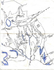
John Nelson also shared a great map of the swamp. It didn’t have the detail of the Google Earth data, but it had the “bones” of the swamp, and would prove useful to make sure we were on a major channel. It also provided names for the various creeks and guts that weren’t available in Google Earth.
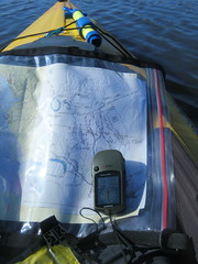
I printed out copies of John’s map, my Google Earth maps, and a map of the 7.5 minute USGS topo map of the area. I had also purchased a fishing map of Lake Marion. I put all of these in a waterproof map case I had just purchased, and also programmed all of the waypoints into my GPS. I felt like I was ready.
I had been sneaking off on paddling trips for the past several weekends, so Laura decided it was time for both of us to get away. We headed down toward the coast, and one of our favorite locations, Francis Beidler Forest.
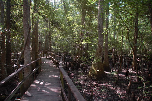
Beidler Forest is located in the Four Holes Swamp area, and is maintained by the Audobon Society. It features a mile-long loop trail on a raised boardwalk that winds through the cypress swamp. In addition to huge ancient trees, the swamp is home to many species of birds and other wildlife. This time of year is when the prothonotary warblers are in town, and we were hoping to spot a few.
Bob D. was up for a paddling trip, and we both wanted to do something besides the Green River or the Tuckaseegee. I suggested Cedar Creek in Congaree National Park, and Bob agreed.
The last time I paddled Cedar Creek it turned into an uphill death march, as we had paddled our canoes downstream, then tried to paddle back upstream to get to our cars. I was determined not to repeat that mistake. Initially we were going to take two vehicles and do a point-to-point paddle from Bannister Bridge to Cedar Creek Road, which would be about eight miles downstream. However, since it was a fairly long drive down there and there were just two of us, we decided to put in at Cedar Creek Road, paddle upstream for awhile, then paddle downstream with the current while we were tired. Made more sense to me.
For the second Saturday in a row I got up very early to head out on a photo trek, this time with the Lowcountry Unfiltered group to the Congaree National Park. Instead of paddling, this would be a hiking trek. I think we would have stayed drier if we had been in kayaks.
I left a foggy Greenville at 6:00 AM, with the plan to meet the rest of the group at the park between 8:00 and 8:30. It was a cold mid-30’s, but I was appropriately dressed. The forecast called for rain later in the day, so even though it was cold, I was glad we were getting an early start.
