This week is my spring break, and despite the fact that I still needed to go into the office and work a couple of days, and despite the fact that two days of my break would be taken up with dental surgery, I was determined to do some paddling. Dwight was in the same frame of mind, so we had arranged to meet Tuesday morning and take a trip down to Sparkleberry Swamp and test our navigation skills. It turned out to be a fantastic trip, with lots of wildlife and some a amazing wilderness isolation.
Sunday and Monday had been rainy and stormy, and it looked like Tuesday was going to tbe the only day with decent weather. It was cloudy in Greenville when I started out, but when I picked up Dwight in Columbia, and when we got on down toward the swamp, it looked like it the weather gods were going to smile on us. Although it was chilly, we had perfect weather the entire day.
This was my third trip to the swamp. The other two times I’d gone was with larger groups, and we had at least one person who had been in the swamp several times. I was a bit nervous, so I made sure I had my multiple maps and multiple batteries for my GPS. Dwight had paddled the other side of Lake Marion from Low Falls Landing, but had never done Sparkleberry. He normally paddles a canoe, and this was his first extensive trip in a kayak.
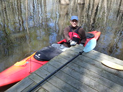
There were only two trucks with trailers at the landing when we arrived. It looked like we would have the swamp to ourselves this time. We got the boats launched, and were on the water by 10:00 am.
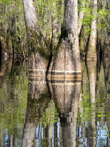
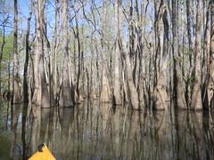
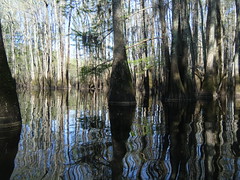
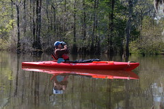
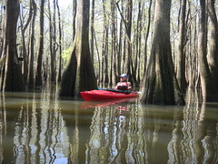
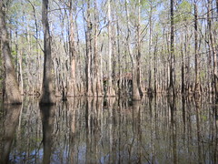
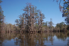
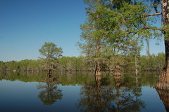
Even at the landing the scenery is amazing. The water was high, but it was obvious that it had been about a foot higher recently. The trees had multiple bands of pollen, which gave them interesting stripes when reflected in the still water.
Right before we launched I had walked around the landing, and had spotted a new potential launch area that might be more friendly to kayaks. We paddled just north of the ramp to where I had spotted the landing, and it looks like it has potential. There is a gentle slope, and it wouldn’t be as harsh on the bottom of the boats as the concrete ramp. The only potential problem would be mud.
Just getting away from the ramp can be a navigation challenge. The obvious routes are north and south, but the actual route is through the trees straight ahead.
After that is a left turn onto a more open channel, which eventually opens up to Sparkleberry Flats.
You cross the flats at a diagonal to a semi-concealed entrance to the heard of the swamp. The path winds through the trees, and can be incredibly tricky. To make matters worse, at high water levels you can paddle just about anywhere between the trees – there is no clear channel. That makes it easy to get around, but challenging to navigate. Fortunately, orange blazes mark most of the path.
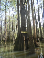
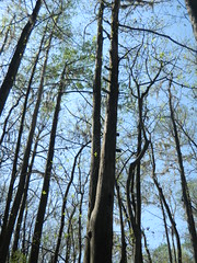
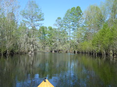
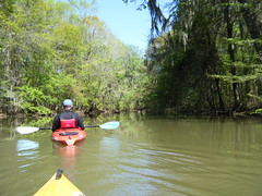
It’s in these tight channels that the swamp takes on a cathedral-like atmosphere. When I was here in February things were a bit more open. This time the leaves were just starting to fill out, and the birds were in full chorus. The sound echoes off of the trees in a way that’s hard to describe. It is really quite enchanting.
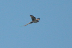
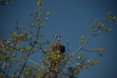
After following a twisting narrow path, the channel opens up and becomes clearer. The trees are a bit further apart, and it was here that we spotted our first osprey nest. It looked like one osprey had caught a snake, but it turned out to be Spanish moss that it was bringing back to help build the nest.
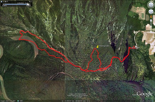
So far we had been following the same path I’d taken on my previous two trips. The maps I have indicated some interesting things north of us, including a floating cabin. I had the waypoint already stored in my GPS, so we decided to try to find it. We paddled north, roughly following a set of orange plastic tags which we took to be some type of trail. The swamp got denser and denser, and we weren’t sure we were doing the right thing. We were REALLY getting into wilderness areas.
At one point we came to a board which I first took to be the remnants of a sign. It turns out it was the lower part of a rickety ladder leading far up into the trees. Given its current condition, I wouldn’t dare try to climb it.
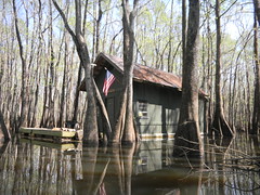
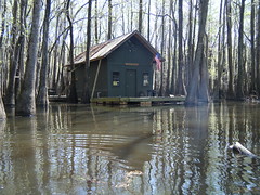
We were still unsure of our route, but the GPS indicated that the cabin was around here somewhere. Eventually the channels seemed to open up a bit and there were more markers. We found the cabin hidden in among the trees, floating on a barge.
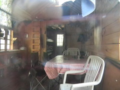
There didn’t appear to be anyone around, and it was lunch time. Dwight and I decided that they wouldn’t mind if we stopped on their deck and had our sandwiches.
Floating river shacks have been a problem on Lake Marion and other lowcountry waterways. These are often abandoned and are navigation and environmental hazards, and there are several in the Low Falls area of the lake. Recently the state has enacted laws to regulate these.
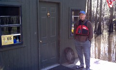
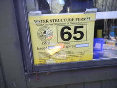
This cabin appeared to be in excellent shape, and we weren’t sure if it was private or owned by the state. Our inclination was that it was privately owned. There was a DNR permit in the window.
I believe that the cabin is the one described in this 2007 article from the Times and Democrat….
Britton Moseley, who along with some friends, built a 12-by-40-foot floating wood cabin last year on Sparkleberry Swamp. Painted green with a dark brown tin roof, the floating barge can’t be seen among the cypress trees and hanging moss until boaters are 60 feet away, he said. The free-floating barge is anchored by a pipe driven into the swamp bed.
“Very few people would even know how to get to it,” said Moseley, 42, of Sumter. “It’s not harming any environment. It’s not tied to trees, no nails, no chemicals.”
At least, it seems to match that description, and I don’t know of any other cabins around. And, I guess Dwight and I are now a couple of those “very few people.”
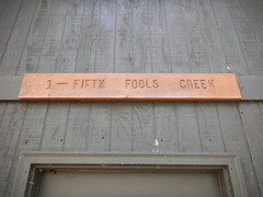
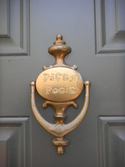
After lunch we headed back to the main channel. Navigation was still tricky, but we knew that as long as we kept a southward bearing we would hit familiar territory. It turns out that we had paddled up Fifty Fools Creek to get to the cabin, and we were now paddling down a route with the appealing name of Hog House Gut.
A gut is an area in a swamp that is normally flooded, but can be dry in lower water. The vegetation seemed to reflect that, as it looked like higher-ground plants were lining our pathway. We hit a couple of very low spots and had to retrace our steps to find deeper water.
Eventually we did make it back to the main route and found ourselves on Otter Flats. Here we spotted yet another pair of nesting Osprey.
Otter Flats is fed by water from the Santee River, and has a significant current. Even though it was later and we would be paddling against that current, we decided to continue on to Risers Lake. While navigation was much easier, this bit was actually more challenging because we were tired and working against the current.
The whole trip we had seen tons of wildlife. In addition to the ospreys there were anhingas, cormorants, various ducks, herons, and ibises. We heard pileated woodpeckers and multiple unidentified birds. Unfortunately, we also occasionally heard the roar of a fighter jet from Shaw Air Force Base over in Sumter, reminding us that we were not as isolated as it seemed.
We eventually reached the turn for the lake. Last time we were chasing a geocache, and took a narrow path the almost bottomed out on us. I knew there had to be a better way for larger boats to get to the lake, and I found it just a bit further on in.
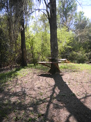
Dwight and I paddled on across the lake and landed a bit further up that where we had lunch the last time. There is a high bluff lining this part of the lake, and several have made campgrounds with makeshift picnic tables all along the edges.
We stopped to stand and stretch for a bit, but realizing that it was getting late, we headed on across the lake. We took the lower cut that leads back to Otter Flats. The channel is narrower, but very well defined. It was more like paddling a creek or river than a swamp. Finally we found ourselves back on Otter Flats, and started the trek back to the landing.
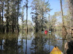
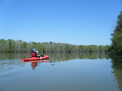
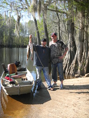
Soon enough we reached Sparkleberry Flats, and knew we were close to home. We had encountered only two boats all day – one at the start of the trip, and one on the flats on the return. The guys had been fishing all day, but were limping home with a bad motor. I think we were paddling faster than they could go. However, they proudly showed off their catch.
It was an absolutely ideal kayaking trip, with perfect weather and perfect conditions. We couldn’t have asked for better. The whole trip was 8.43 miles, according to the GPS.
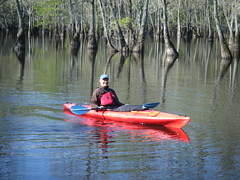
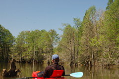
It’s really hard to describe the experience of Sparkleberry Swamp. To try to capture some of that feel, I took my little waterproof camera and mounted it on my kayak with a Gorillapod. I put it in video mode and just let it run as we paddled through the cypress trees. The video quality isn’t great, but here’s a short video of the trip…
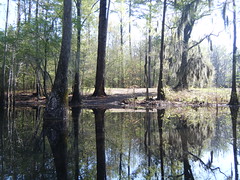
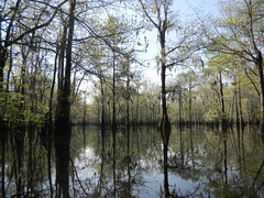
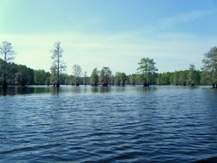
…and here’s a slide show of the rest of the photos from the trip…

Years ago we camped with a bunch of friends at the campground you mentioned. A small boy accompanied all the adults, and when I asked him if he’d like a s’more, he said, “Oh, no thanks. I only like the ‘good stuff.'” So, of course I asked, and he responded, “You know, like greens and sweet potatoes….” I ran into his father last year and asked if, as a teenager, his son still had the same taste in food. The father assured me that the son is still a good eater, a vegetarian, and a very good cook!
I grew up in that swamp, my father had a cabin in the top of McGirts (or McGarths) lake built in the 1960’s. We would come in from Weeks Landing (now closed to public) and he also kept a boat at Buckingham hill (high bluff where water level is located) and we would carry gear down the hill, strap on a little motor and putt across the river then walk in to the flats to the cabin. Went back recently for first time in years to spread some of “Pops” ashes in the swamp he so loved. Thanks for another great story and memories.
Stick to the paint and your gps . you never even left the main run .