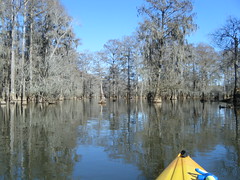
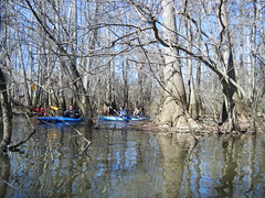
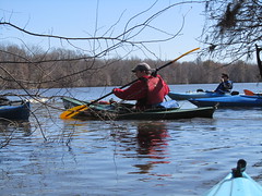
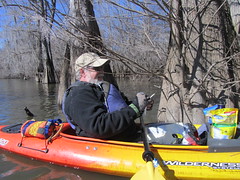
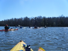
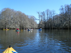
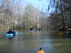
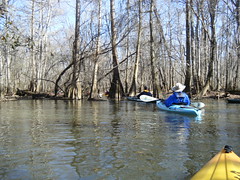
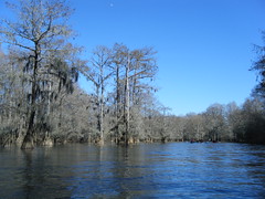
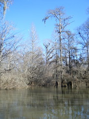
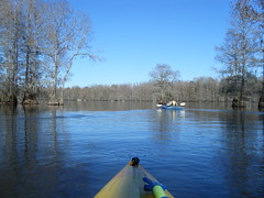
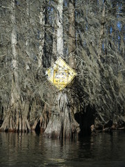
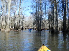
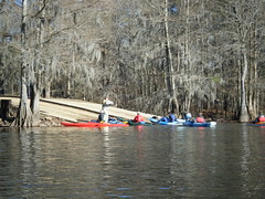
It’s the second Saturday of the month, and that means another trip with my friends from Lowcountry Unfiltered. For this trip we decided to tackle Sparkleberry Swamp, at the north end of Lake Marion. I had paddled it before, but we only did a short trip that day. I was eager to see more, and I was curious how the swamp would look in winter.
Preparations:
Matt and I went back and forth on this trip. What we wanted to do was to hit the heart of the swamp, and paddle from Sparkleberry Landing to Risers Lake. However, there were lots of variables that had to be in place before we could take the trip – weather, water levels, etc. We had several alternatives, such as launching from Low Falls Landing, or doing something different all together.
The Palmetto Paddlers were also planning a trip to Sparkleberry for the same weekend, but they were going Sunday instead of Saturday. I contacted Kate Whitmire, the trip’s organizer, to see if she had any insight into water levels. She pointed me to the USGS water levels website for Pineville on Lake Marion. According to Kate, a reading of 72.09 was necessary for a paddle without portages.
I took my GPS track from my last trip, trip reports from several other paddlers, and placed all the data I could find on the Lowcountry Unfiltered wiki site. Based on this data, I created a GPS file that included waypoints and routes, as well as a Google Earth file with image and map overlays.
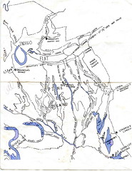
John Nelson also shared a great map of the swamp. It didn’t have the detail of the Google Earth data, but it had the “bones” of the swamp, and would prove useful to make sure we were on a major channel. It also provided names for the various creeks and guts that weren’t available in Google Earth.
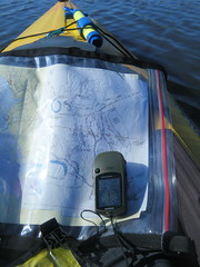
I printed out copies of John’s map, my Google Earth maps, and a map of the 7.5 minute USGS topo map of the area. I had also purchased a fishing map of Lake Marion. I put all of these in a waterproof map case I had just purchased, and also programmed all of the waypoints into my GPS. I felt like I was ready.
The Trip:
Exploration Day came, and the weather forecast looked great, as did the water levels. Levels were 74.92, which was fantastic for this trip. Our original itenary was a go.
I picked up Alan and we made the long drive down to Sparkleberry Landing. The route took us through some of the most desolate and remote portions of the state.
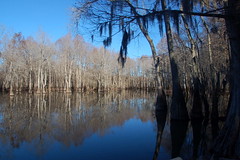
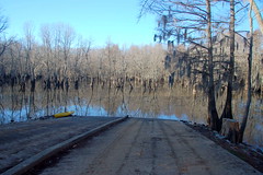
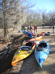
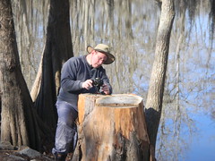
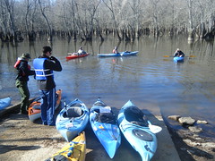
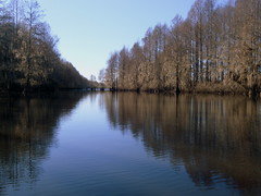
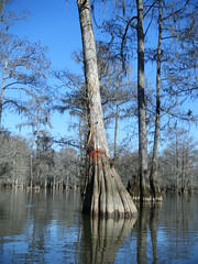
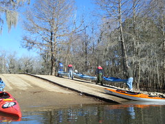
When we arrived at the landing it was quite chilly. John Nelson had gotten there ahead of us, and was off looking for plants somewhere. Alan stayed in the truck where it was warm, and I stepped out to take some photos. The view was quite different from my previous trip.
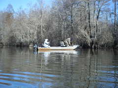
While we were waiting for our fellow paddlers several small motor boats showed up and launched. These guys were heading out to do some fishing. I listened to them talking with each other about swamp conditions, and where things were biting. There was quite a bit of traffic.
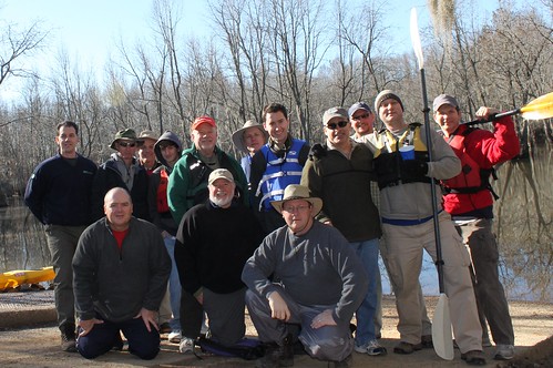
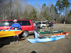
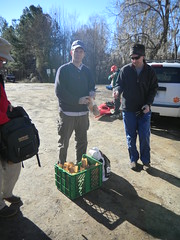
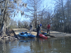
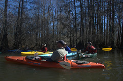
Stephen arrived, and some time later the rest of the LCU folks showed up. 14 paddlers would be on this trip. We started unloading our boats and distributing lunch items.
One of the guys, Jimmy, had printed up stickers with the LCU logo. We all took a moment to adorn our boats with them.
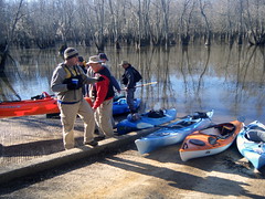
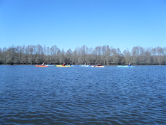
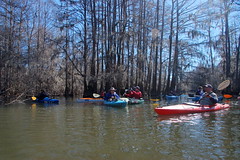
We paused long enough for John Ring to take a group shot, then we began launching the boats.
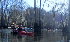
Three of us had been to Sparkleberry. John Nelson and Brian had ventured farther into the swamp than I had, but I had the been there more recently, and I had the GPS data. Brian and I became the de facto tour guides, because we knew John would be occupied collecting plants. We led the group through the canoe cut, across Sparkleberry Flat, and over to the tricky, hidden entrance to the deep swamp.
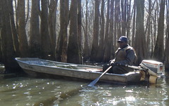
In the narrow channel in the deep swamp we came across several more john boats. Each one said that the fishing was pretty bad. One old guy had a beat up boat with holes all in the front of it. It looked like he had hit several stumps at full speed on occasion.
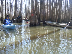
I was really glad I had my maps and GPS. We were trying to keep the group together so that no one got lost. Some of the turns were really obscure. Fortunately, there were some markings. Orange blazes marked most of the route. There was also quite a bit of current. At least we would have that at our back on the way home.
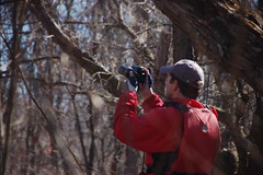
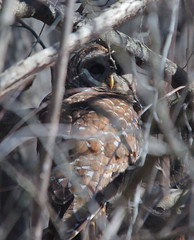
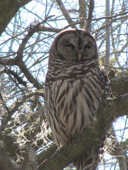
Even though it’s winter we did come across some wildlife. An osprey flew over. Brian spotted movement in the brush on a bank, and it turned out to be a barred owl. The entire fleet stopped for a look, and several got out to take a few shots.
I managed to get one shot.
Alan got a much better shot…
Some of the guys wanted to park right there and have lunch. However, it was time to move on. We had a destination in mind.
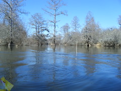
By this time we had moved far beyond where I had gone on my previous trip. We had reached a more open part of the swamp called Otter Flats. The swamp seems to consist of several components. There are guts, which are navigable at higher water levels, creeks, which normally have a constant current flowing through them, flats, which are more open versions of creeks, and lakes, which are larger bodies of water in the swamp.
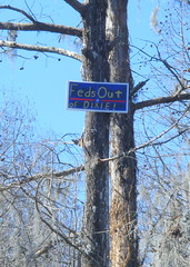
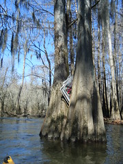
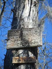
Out in Otter Flat we saw some interesting signs of habitation. There were a few signs, some of them political in nature, albeit of an extreme nature.
Eventually we reached a channel marker and a channel opening to the left, which indicated the path to Risers Lake. Brian and I were out front, and we spotted that we were very close to the geocache we wanted to find.
We came within range of “Lost in the Swamp…Sparkleberry” and started searching. We looked, and I eventually spotted it. Matt had a pen and signed the log for us.
Having found the cache, we crossed Risers Lake, heading to our picnic spot. The lake is sometimes known as Risers Old River, because it’s actually an oxbow of the old Santee River. It was the widest, most open part of the swamp we had encountered so far.
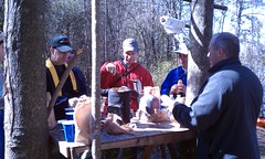
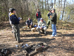
Our lunch spot was a bit of high ground on the lake shore. There was already a makeshift table there, and someone had kindly left a roll of paper towels. Matt’s wife, Cris, had made some spectacular Buffalo chicken sandwiches for lunch. We relaxed, then stood around telling tall tales about our previous expeditions.
After a brief respite it was time to head back. We had entered Risers Lake from the north end. Another channel supposedly led from the southeast end of the lake back to Otter Flats. We were hoping it would give us a different view. We crossed the lake and were able to find the channel.
The route was narrower, but clear. We also had a pretty good current with us, which was nice. We got to a point that looked like it opened back onto the main trail, but it was blocked. About half our group decided to portage over the area. The rest of us decided to see where the channel led. Our route paralleled the main channel for awhile, but soon it met opened back onto Otter Flats. We popped out onto open water about the same time the rest of our group came through.
Things went fairly smoothly until just about right at the end. Brian and I were following GPS waypoints, but this took us to a dead end. Some of our group went north, and some went south. Brian and I followed the group south, but knew that this was taking us far off of our course. We were able to intercept them. A guy in a john boat gave us the correct directions, and we were able to rejoin the group.
That were one more miscue just as we were getting back to Sparkleberry Flats. It appears that the route goes north, but it really goes south. I had several want to argue with me about it, but this was the same mistake I almost made last time I was here. We turned south, and were soon entering back onto Sparkleberry Flats. Even then, it was easy to miss the little course that led back to the landing.
When we got back to our canoe channel, it was marked with a 20 mph sign that had been shot all to hell, as had most of the signs we had encountered. On our outward paddle we had heard gunfire on back in the swamp, and we were glad to be headed out. Soon we did reach the landing, and began the process of loading back up.
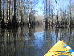
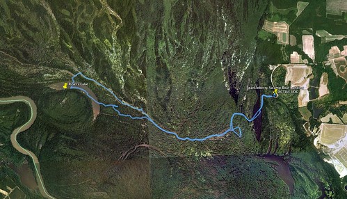
It was a great trip, and we didn’t get too lost. The swamp didn’t have the same cathedral feel that it does with the full canopy, but it was still a place of mystery. With the additional maps that we’ve gathered, I now want to explore deeper into the swamp, perhaps up into the northern stretches. But, for today it was enough. We had paddled 7.68 miles, seen lots of wildlife, and had only gotten slightly turned around a couple of times. Here’s the GPS track from the trip…
…and here’s a slide show of the rest of the photos from the trip.
As of this writing John Ring and Alan Russel had also posted photos to their Flickr accounts. Here are links to their photos from the trip…
