It was the second Saturday of the month and time for a Lowcountry Unfiltered Adventure. Wait. Didn’t I start the last post like that? Possibly, but the Saturday had actually arrived, and it was time to hit the water. I had spent a restful night in Waycross, Georgia, but now it was time to explore the waterways of the Okefenokee Swamp.
I almost didn’t come. Echoes of “It’s too far” and “It will be too hot”, or “You’ve got too much going on” did their best to keep me away. I had even proposed a closer, alternate trip for my Upstate friends who also didn’t feel up to the time commitment. We made promises, like we always do with missed opportunities, that we would do our own trip to Okefenokee in the spring, when the weather was better, when we had more time to plan an extended trip, etc., etc. What it came down to was that those plans were a vaporous non-reality. This was happening here and now. I decided to take advantage of a sure thing.
I had visited the Okefenokee Swamp twice before. The first time I was about nine years old and my Dad took us to the Okefenokee Swamp Park. Even at that early age the Swamp Park struck me as a tourist trap. Sometime in the mid-1990s Laura and I made a trip down here. We did the Swamp Park, and found it to be even more hokey than I remembered from my childhood. Then we found the wildlife refuge further to the south. We took a wonderful boat tour out along the Suwannee Canal. It was that route that we would be tracing on this day’s trip.
John Ring wanted to get an early start, with the mists of the water and wildlife rousing. So, I checked out of my motel early and headed south in the pre-dawn hours.
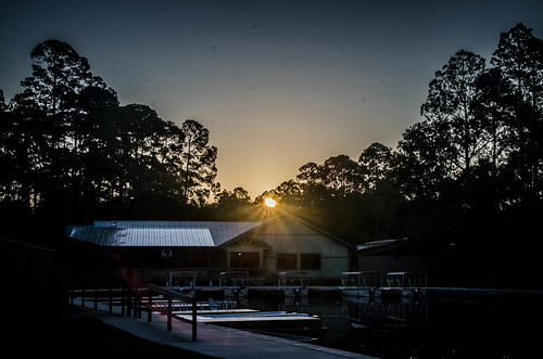
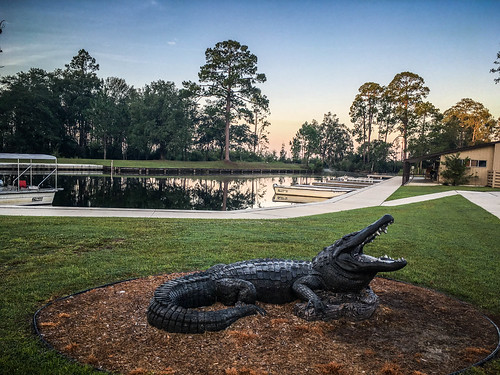
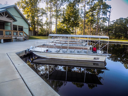
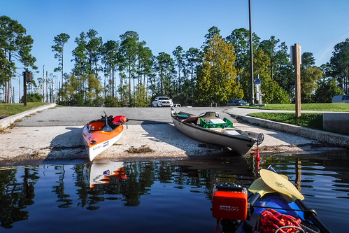
I was the first to arrive. I checked in and awaited my paddling companions. The Okefenokee Swamp Adventures was much as I remembered it from the 1990s. They looked like they had upgraded their tour boats from the small john boats Laura and I had taken.
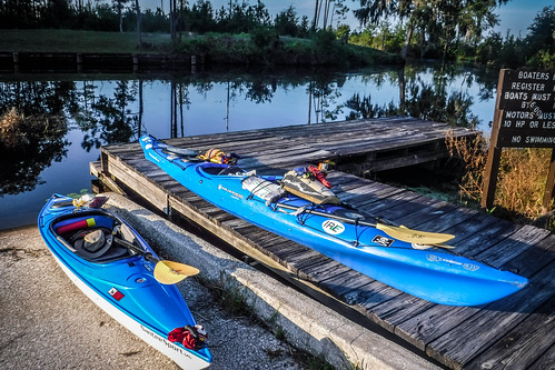
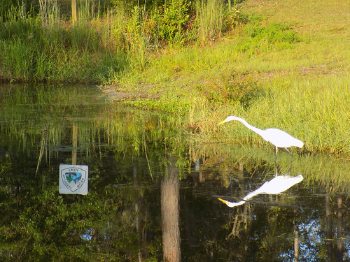
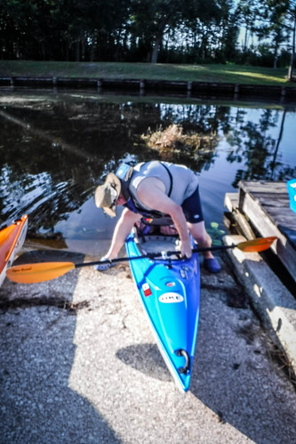
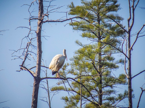
I unloaded the kayak and got my gear ready. Again, I over packed because there were lots of unknowns. I had maps, a spare paddle, GPS, emergency gear and lots more water than I’d normally bring. We had planned an extensive trip. John arrived next, and we got set while an egret watched over the proceedings.
Matt Richardson and Jimmy Steinmetz arrived next, completing our group. Others had said they were coming, but dropped out at the last minute. I was the only one who had stayed in south Georgia. The others had gotten up early and driven down from Bluffton.
We missed the mist, but we still got an early start. John had done this trip before, and had set out the route. Our plan was to paddle several miles down the Suwannee Canal, then take the branch that would take us down to Monkey Lake, about seven and a half miles out. A fifteen mile trip was at the extreme range of our treks for a daily distance. We had done trips of this length before, but our group tends to get…distracted. We find more interesting things along the way. That would happen to us again this time.
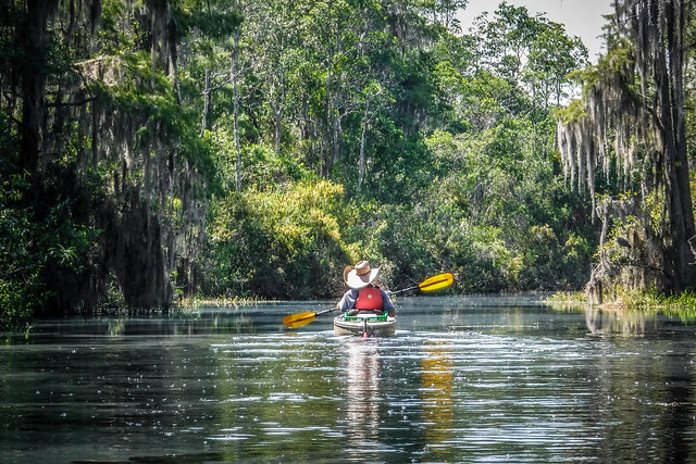
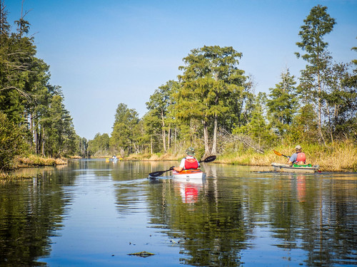
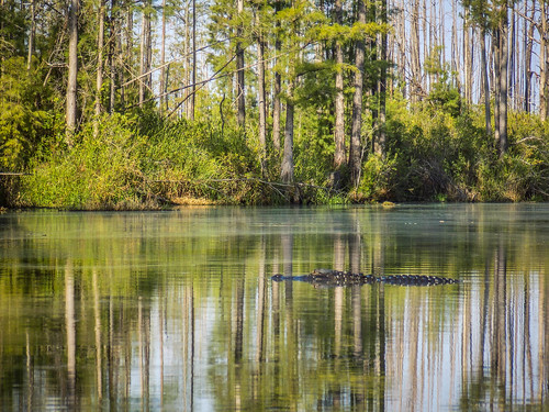
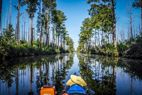
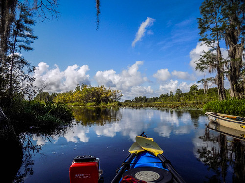
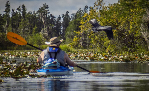
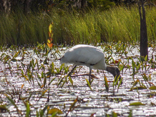
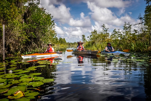
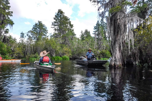
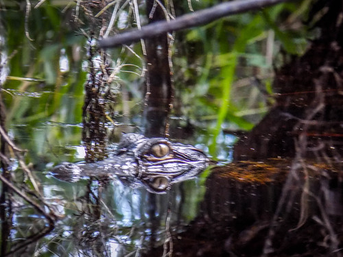
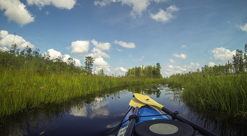
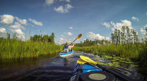
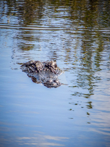
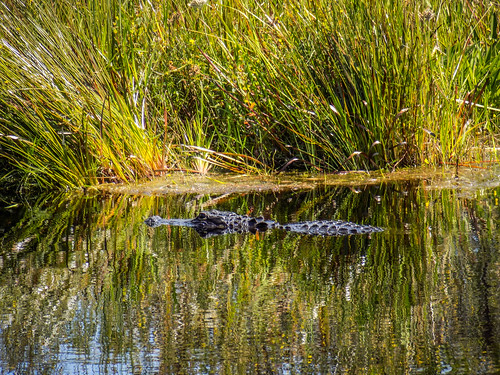
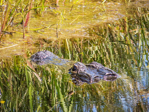
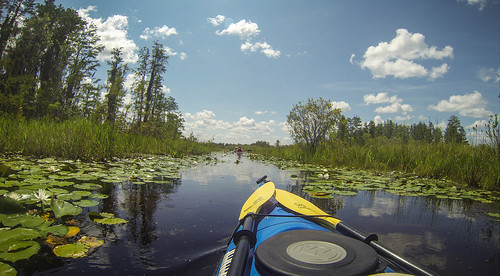
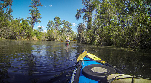
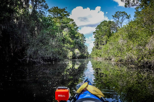
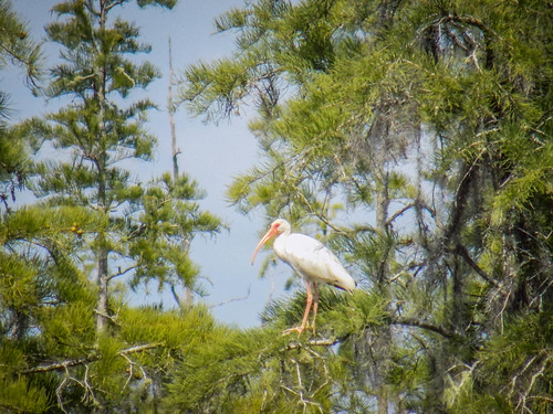
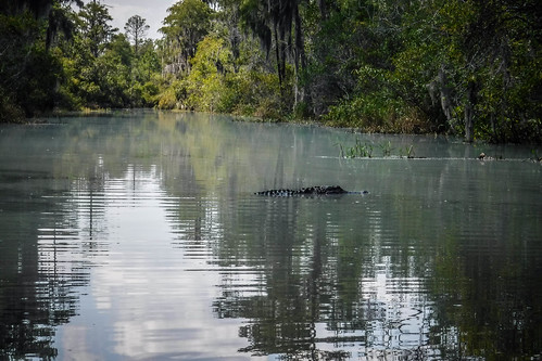
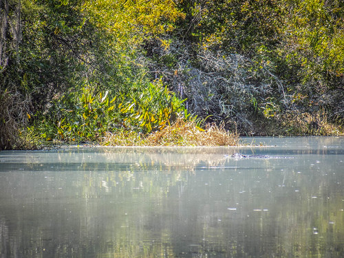
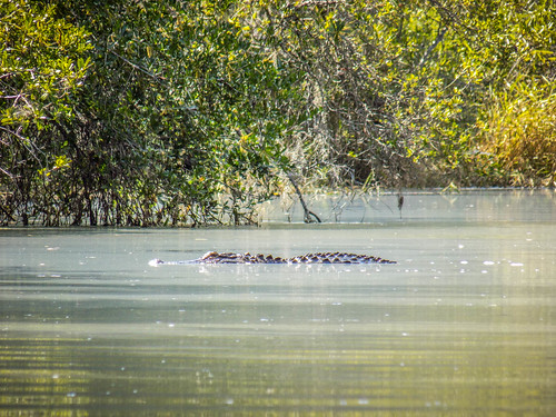
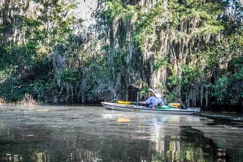
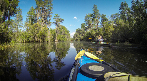
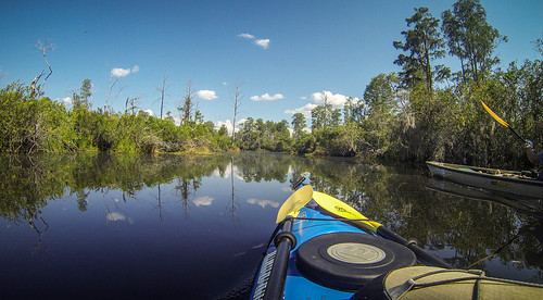
We set out along the surprisingly straight canal, accompanied from the get-go by large alligators along the banks and swimming across the channel. Lots of birds also kept watch over us.
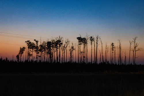
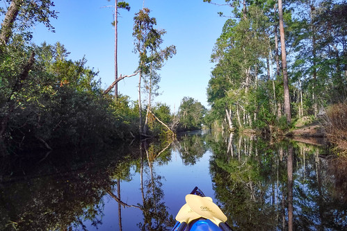
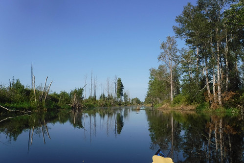
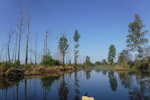
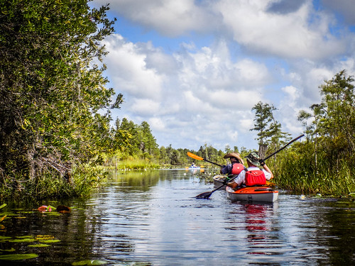
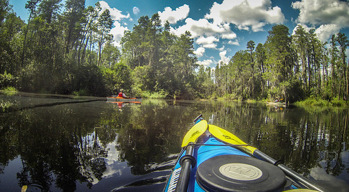
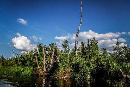
The Suwannee Canal was an ill-fated attempt in the late 1800s to drain the Okefenokee Swamp to harvest the timber and turn the swamp into farmland. Fortunately, the companies involved were unsuccessful and ran out of money. As we paddled along the canal we noticed that the things seemed wide open, the result of fires in 2007 and 2013.
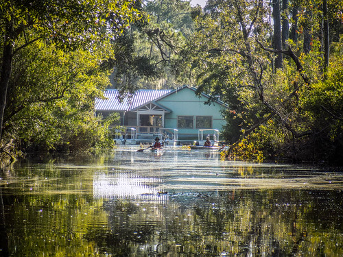
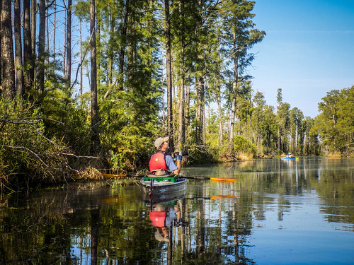
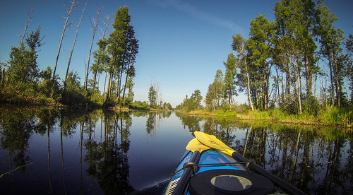
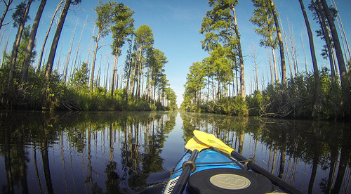
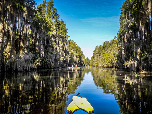
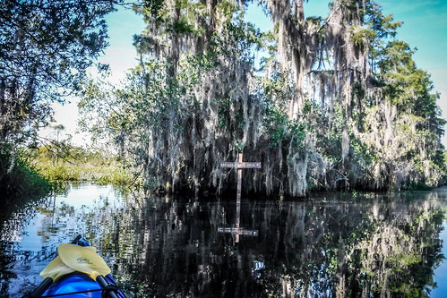
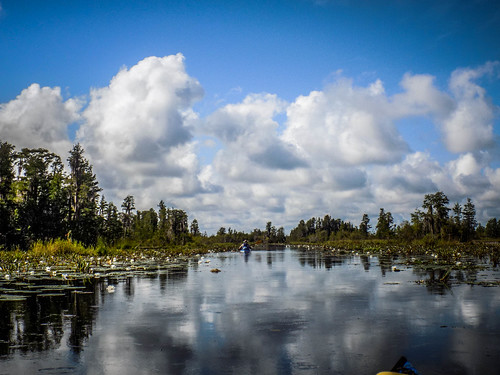
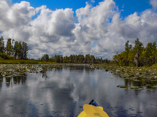
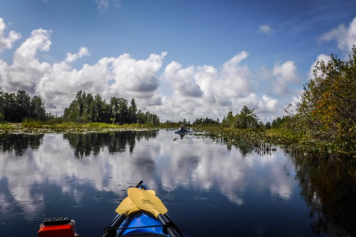
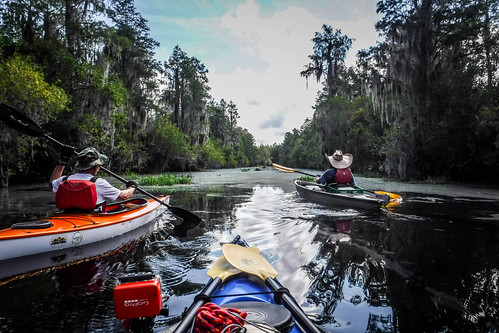
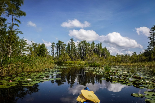
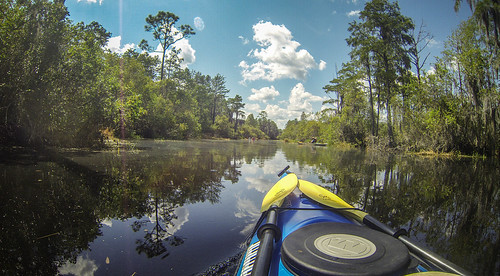
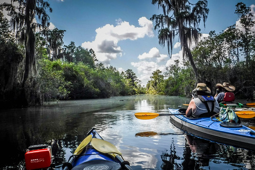
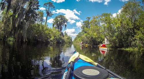
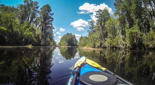
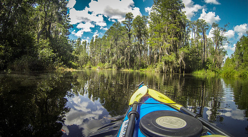
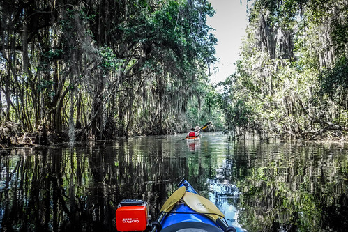
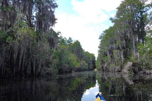
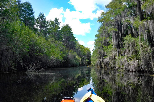
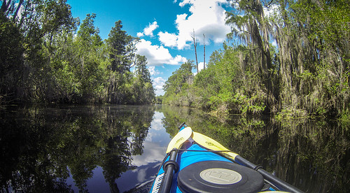
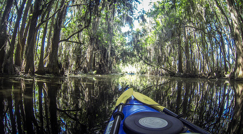
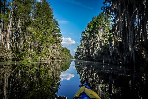
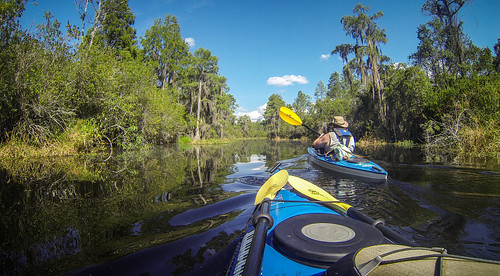
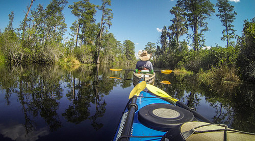
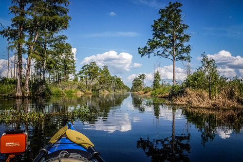
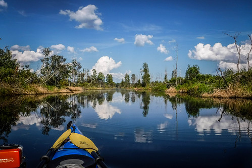
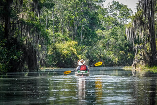
The water was mirror-like, and the reflections created an amazing symmetry, especially if you paddled the middle of the channel.
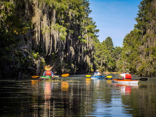
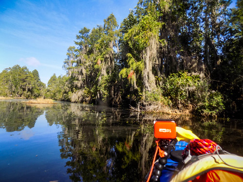
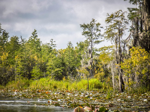
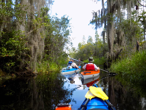
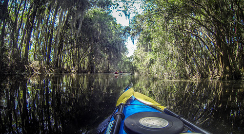
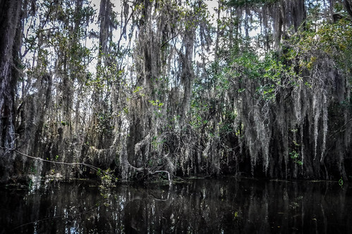
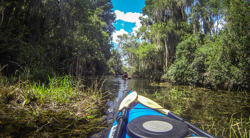
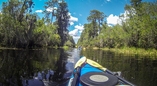
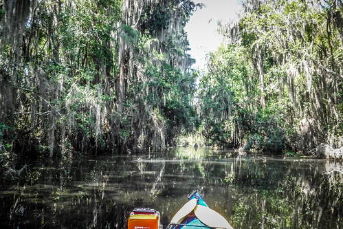
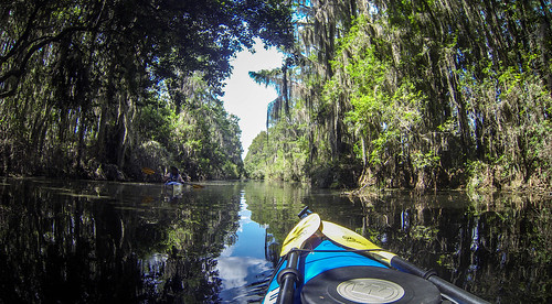
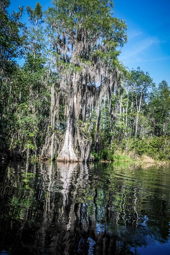
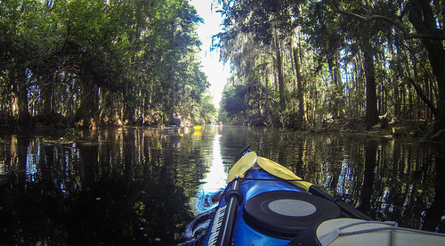
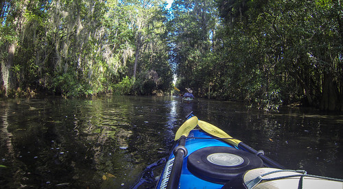
We reached an area where the fire damage wasn’t as bad. The trees along the banks were thicker, and Spanish moss made the route look like the swamp everyone imagines when they think Okefenokee.
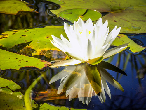
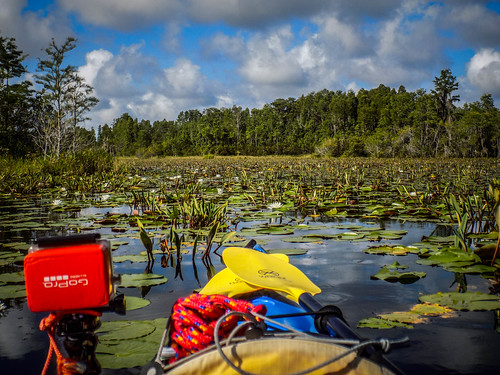
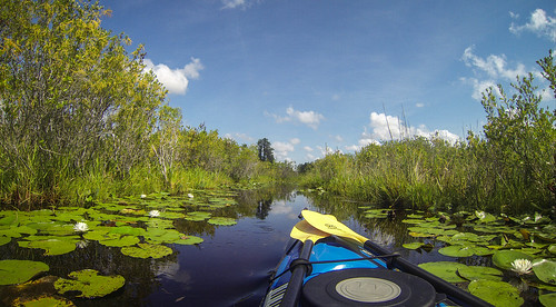
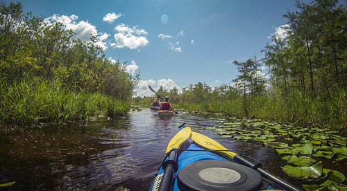
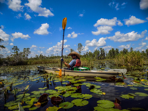
There is a canoe day trip route that parallels the canal. It’s supposed to give a more intimate encounter with the swamp while avoiding boat traffic. The lady at Okefenokee Outdoor Adventures had said that it was impassible because of “blow ups” – islands of vegetation that float on the water. We decided to check it out anyway. We were only able to get a few yards in because of water lilies.
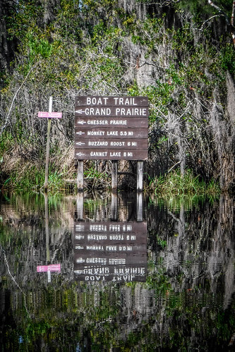
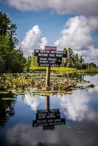
Back on the main channel we soon came to the turn-off for Monkey Lake. The Okefenokee Lady had also said that she didn’t think we would make it that far today. Even so, we headed in that direction.
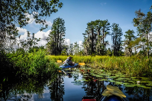
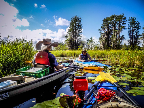
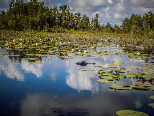
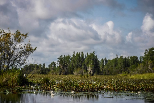
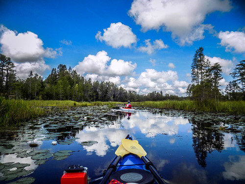
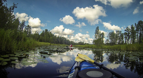
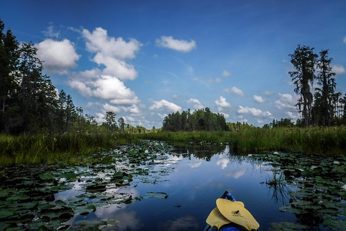
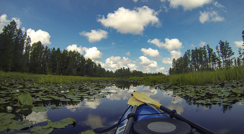
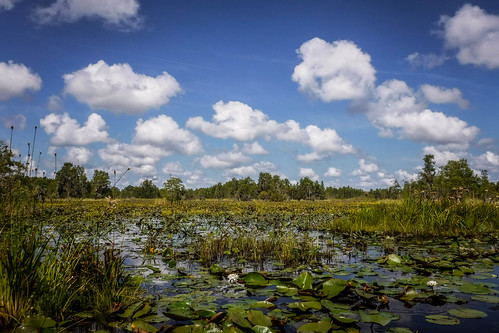
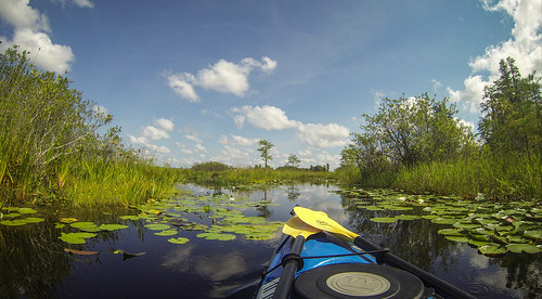
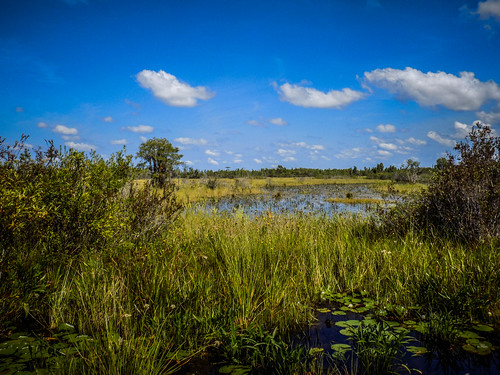
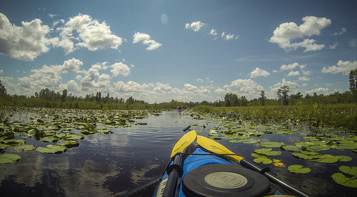
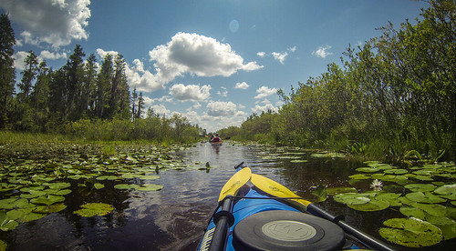
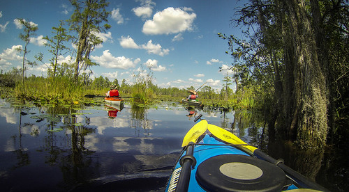
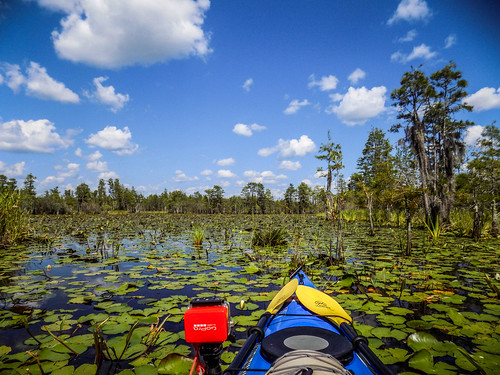
This part of the route crosses “prairie” swamp. The vistas are wider, but the area was covered with more water lilies. The main route seemed to be fairly open. There were alligators everywhere, but also lots of other wildlife. We decided to turn down toward Cooter Lake to get deeper into the prairie. That, we did.
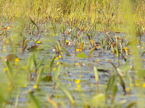
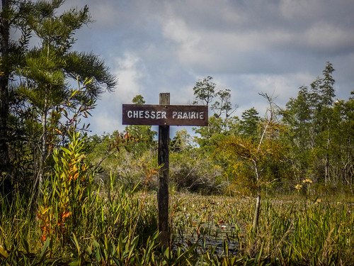
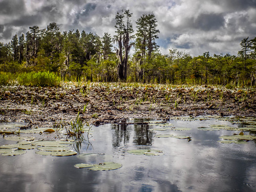
The area we were paddling through is part of the Chesser Prairie. It’s also a prime example of how Okefenokee got its name. Okefenokee is believed to be a Creek word meaning “land of the trembling earth.” There appeared to be two types of “trembling earth.” There were the blow-ups about which we had already been warned. These were rafts of vegetation that float along the channels. I had encountered these on the New River near Bluffton a couple of months ago. The other type consists of mounds of earth with vegetation attached that seems to break loose and float. The blow-ups look more like straw, but the mounds are muddier, and look like tenuous land. You might be tempted to step out onto a mound, but not a blow-up.
The scenery was incredible, and entrancing. Our ADD paddling group was living up to that nickname as we explored further into the prairie. Sadly, it was also taking us away from our main target. We had some decisions to make. John told us of another hammock area with a raised platform that wasn’t too far away. We decided that rather than attempt Monkey Lake, we would just explore the areas closer, and head up to John’s platform for lunch. We turned back toward the main Suwannee Canal.
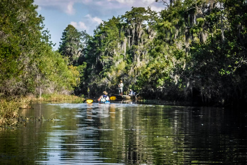
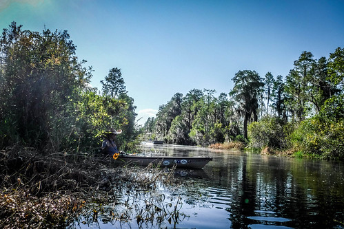
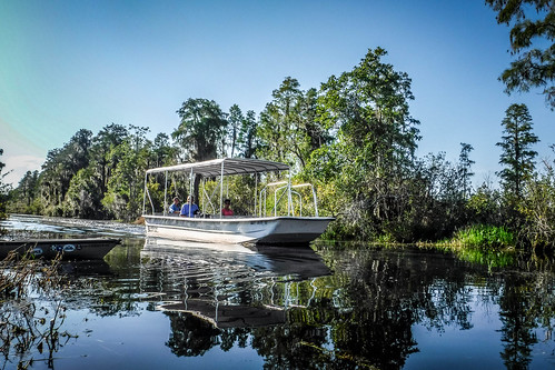
Back at the main channel we encountered a fisherman in a john boat, as well as a tour boat. The fisherman was wearing a work uniform, and at first we thought he was a park ranger.
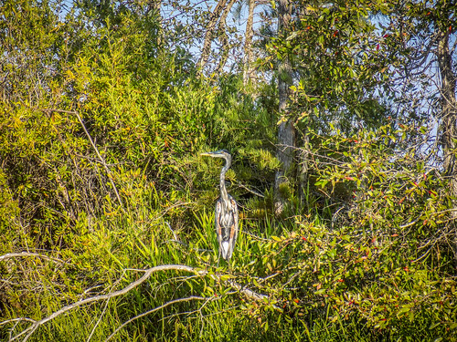
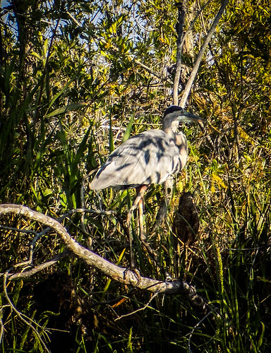
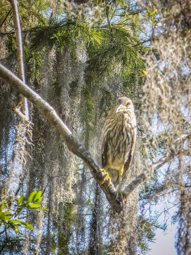
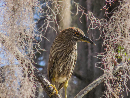
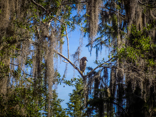
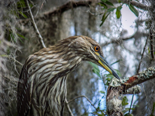
We paddled back east along the canal until we got to the turn to the north toward Cedar Hammock. When we had passed by this area earlier there had been a green heron perched on a branch right above John’s head. The bird didn’t move then, and still hadn’t moved when we returned. We suspected Disney Animatronics, but knew better.
We were amazed at the general disdain the wildlife held for us. They weren’t concerned for us in the least. From birds to gators to even tiny little yellow bellied sliders, it seemed as if they were all saying, “This is our world. You better not screw up.”
We made our north turn, and found ourselves paddling through more lilypad prairies. The route was much narrower, and required a bit of slogging through that “trembling earth.” Turns out you can paddle through it, if you have to.
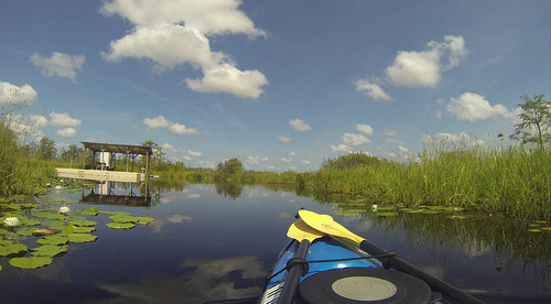
The going was tough, and it seemed like we were paddling for miles. Turns out it was only about a mile out to the shelter. Soon enough, though, we reached it, and found it guarded by one of the largest alligators we had yet seen.
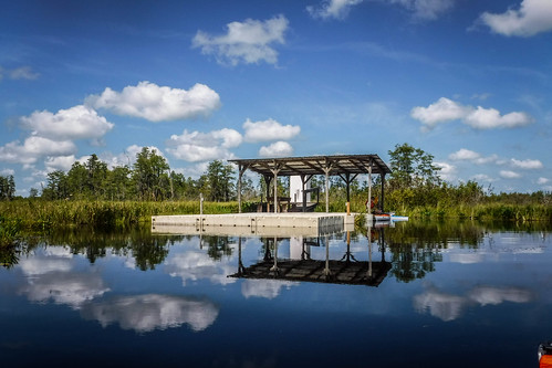
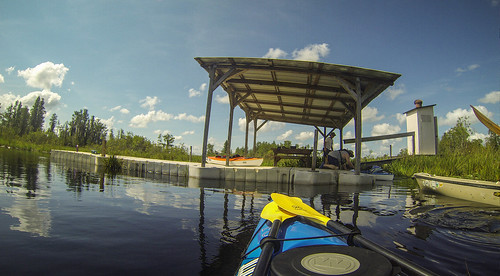
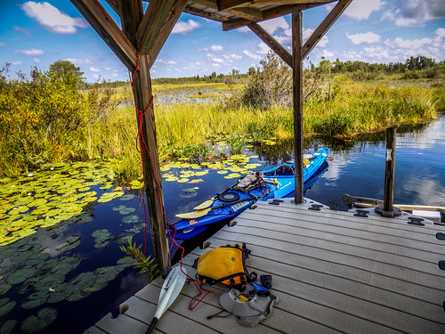
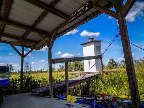
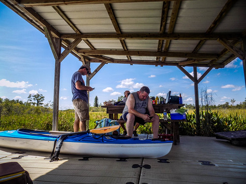
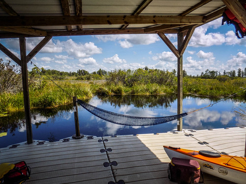
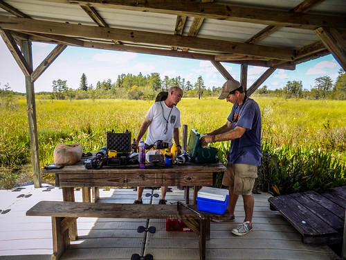
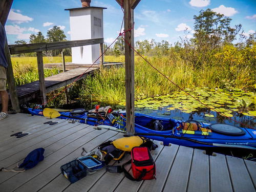
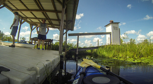
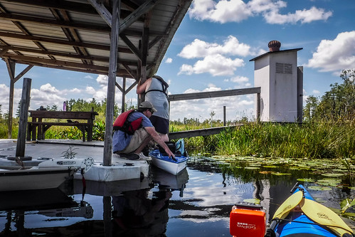
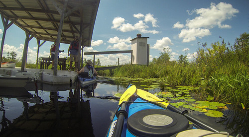
Cedar Hammock shelter seemed like a four-star resort after the tough paddle to get there. Part of the floating structure was covered, and part of it was open. A short ramp led up to an outhouse/port-a-potty. We managed to get out of the boats and onto the shelter without major embarrassment. It was a bit earlier than we normally stop for lunch, but we decided it would be a good place to hang out a bit. The views from the platform were spectacular.
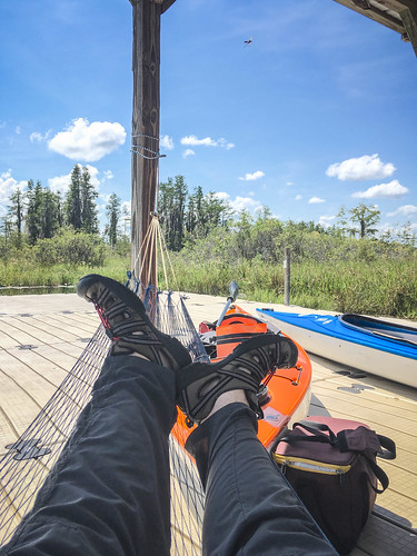
I pulled out my trusty string hammock and set it up between two of the shelter posts. I’ve had this thing for nearly thirty-five years, and it still serves me well. It was surprisingly comfortable. What was even more surprising was a cool breeze coming from the north. We were expecting sweltering heat, but so far it wasn’t too bad. We got started with our traditional paddling lunch of bratwurst and sauerkraut.
It was tempting just to hang out here all day. You can get permits to camp on these platforms, which can be found throughout the park. However, we didn’t have such a thing. Despite the large gator circling us, we decided it was time to continue our explorations. I used ropes to support my kayak and the assistance of one of the platform supports to get back into the boat. It worked quite well.
We slogged back through the lilypads. For some reason the trip seemed a bit shorter this time. I didn’t pause for as many photos, but just let the GoPro do the work.
From here we continued westward on the canal. Matt had another shelter marked in his GPS, and we thought it might make a nice mid-afternoon hangout.
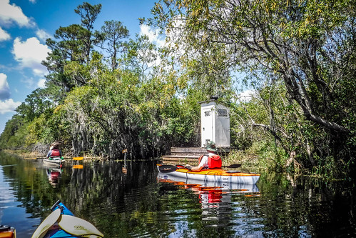
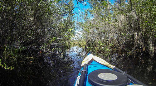
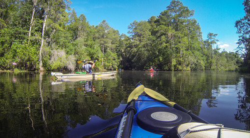
This time we really did paddle for miles. We passed by another platform that only had an outhouse on it. We also reached an area where the trees and Spanish moss were thicker, providing relief from the afternoon sun.
We came to a crossroads, or, rather, a cross-canal. The route to the north led to Cedar Hammock. The southern route led back toward Monkey Island. We continued on our westward trek.
Matt and John realized that just on the other side of the trees was a larger, open area. It was as if we were on the edge of a large lake. There was an opening in the trees, and they decided to explore. Turns out it was more prairie, and not very deep. Certainly not deep enough to explore further.
There were blow-ups to dodge. When we couldn’t dodge, we could paddle through them.
More disconcerting than the blowups were the massive alligators. Some of these were quite territorial. I felt a bit like I was playing the old “Frogger” video game. I would wait for them to pass, then paddle quickly between. I figured speed and momentum were my friends.
Not only the miles but the hours were quickly slipping past. According to park rules we had to be off the water by 6:00 if we didn’t have a camping permit. Our target shelter was about a mile and a half away. By the time we got out there, goofed off on the platform for a bit, then headed back, we would have exceeded our welcome. We decided to head on back to the park entrance.
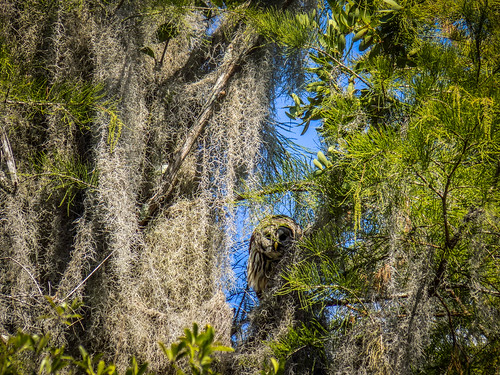
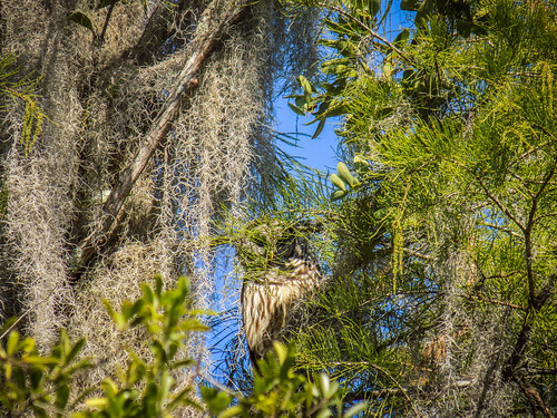
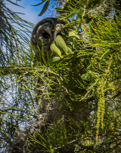
Along the way back we spotted a large barred owl. It was a bit shy, but overall it showed the same disdain for us as had the other wildlife we had encountered.
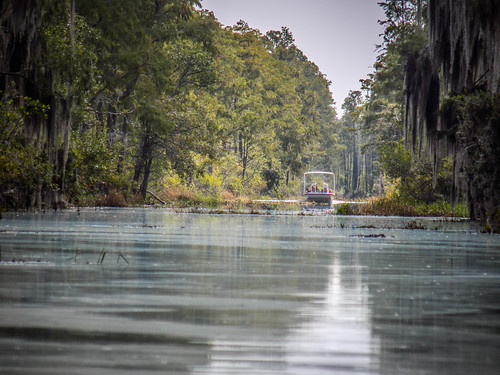
We continued on along the very straight canal, through draped passages, then back through the fire damaged areas. We were tired, and we noticed a distinct current to the west, against us. We could seek shade along the edges of the waterways, but that’s where the alligators tended to hang out. We encountered one more fishing boat and one more tour boat along the way.
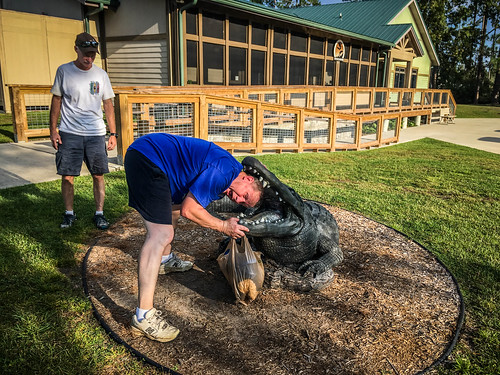
Soon enough we were pulling back up to the boat ramp. We had made it back with about 30 minutes to spare. A family was fishing on the point near the canal, with kids playing on a bank just above a group of large alligators. Neither seemed concerned with each other. We checked back in with the park folks, then loaded up our gear for the next stage of our journey.
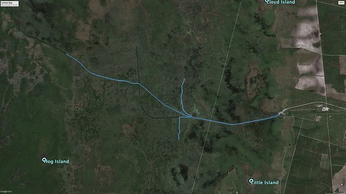
Our original plan to paddle to Monkey Lake had been about 15 miles. We paddled nearly that about with our ramblings, for a total of 13.8 miles. Here’s the GPS track:
It was an incredible journey, and I’m glad I decided to come down here. Okefenokee is not to be missed. The scenery and wildlife are almost overwhelming. I posted 420 photos from this trip alone. But, our adventures weren’t over. More to come!

When I worked for the Fish & Wildlife Service, we would conduct prescribed burns at Okefenokee NWR. Imagine all that wildlife coming out of the swamp ahead of the flames… Biggest gators and snakes I’ve ever seen in my life! Good for you, getting out there up close and personal with it, am glad you enjoyed your adventure!
Remarkable journey and account. Thanks! I said before but will repeat. Some of my favorite posted pix. Simply amazing and wonderful experience with nature.
Cedar Hammock is nice, but Coffee Bay, which is not too far from it, is a more robust, solid wood platform.