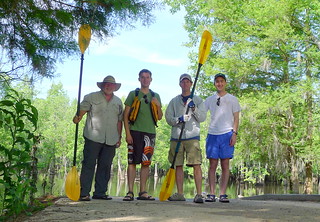
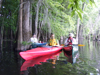
A second Saturday in May, and time for another Lowcountry Unfiltered trip. This time our group was heading back to Sparkleberry Swamp, and we had perfect weather and water levels for it. Unfortunately, because there was perfect weather, many of our group had other places to be. So, only four brave souls ventured further into the swamp than we’ve ever been. It was a nearly perfect day in the swamp. (Have I said the word “perfect” enough?)
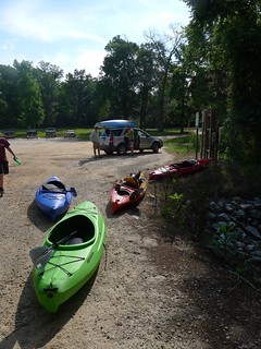
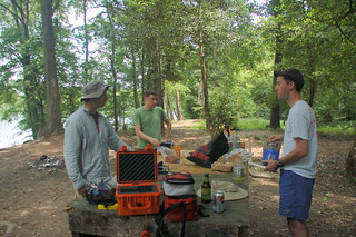
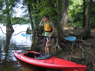
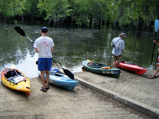
I got up early Saturday morning and made the drive down to the Sparkleberry Landing put-in. Initially I had the place to myself, with only a few boat trailers. As I unloaded the boats I brought, a couple of guys came up to me and asked about kayaking.
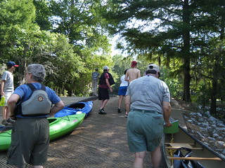
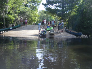
As I was waiting for the LCU guys, lots of other boaters showed up. It seems that the Congaree Riverkeepers also had a trip planned for the swamp. When Matt, Alan, and Ryan arrived, there was already quite the crowd at the boat ramp. It sounded like they were going to follow pretty much the same route we were. Fortunately, we were able to get our gear together quickly and launch first.
With a smaller group we had a bit more flexibility. Our plan was to head north, up through Jones Flat. We had waypoints in our GPSs for a “tree chair” and for the floating cabin Dwight and I had found last year. We would then head back down Fifty Fools Creek to Otter Creek, eventually reaching Riser Lake for lunch.
In addition to the GPSs that Matt and I had, we were now sporting “official” LCU FRS radios. Our groups had been getting bigger and bigger (with the exception of this one), and we needed a way to keep everyone together. I had found a set of eight radios for us to use on our trips. This, combined with other radios we had available, meant that just about everyone in the group could have a radio. Seemed like a reasonable safety measure. Of course, we only needed four of those today.
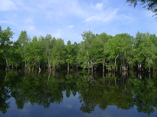
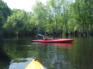
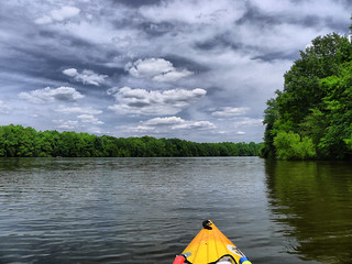
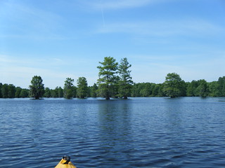
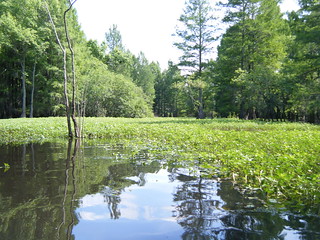
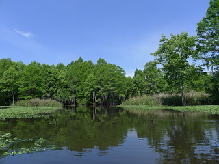
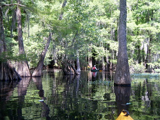
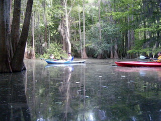
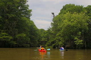
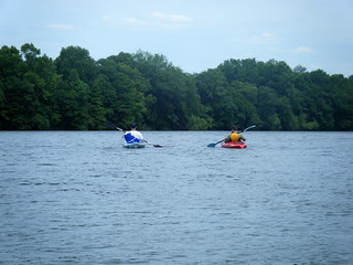
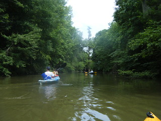
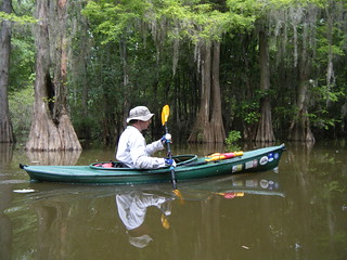
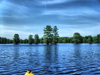
We headed on out through the canoe pass and out into Sparkleberry Flat. The weather was just as spectacular as we had hoped, and the scenery was astounding.
The route requires paddlers to cross the lake-like flat and locate a somewhat hidden path on the southeast corner of the flat. Usually I have no problem finding the entrance because it’s marked with a sign. Somehow this time I missed it by about 100 yards. We cut into the forest and headed north. About this time we heard crashing in the water nearby, and spotted a fawn running through the swamp. Unfortunately, we weren’t able to get a photo.
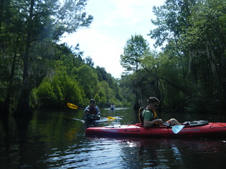
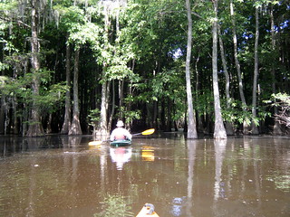
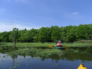
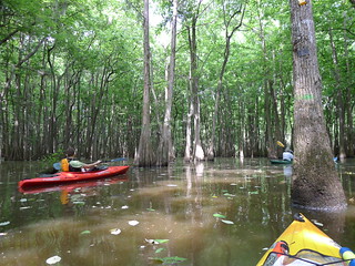
With the water as high as it was it seemed like we could paddle just about anywhere. Instead of a hike through a forest, we were paddling through it – navigation was almost the same. Soon we found ourselves back on the main route on Otter Creek. However, almost immediately we crossed over the creek and headed toward Jones Flat. We were now on new territory.
Even with a GPS navigation could be tricky. We knew about where we wanted to go, but maps tend to be inadequate. There are so many paths, so many routes through the trees that it’s very easy to get turned around. Google Earth and Topographic views are OK, but we’ve found that the best map is a 1973 hand-drawn map by John Hughes Cooper and John Townshend Cooper that shows the “bones” of the swamp. I’m not sure who drew it, but John Nelson passed it along to us.
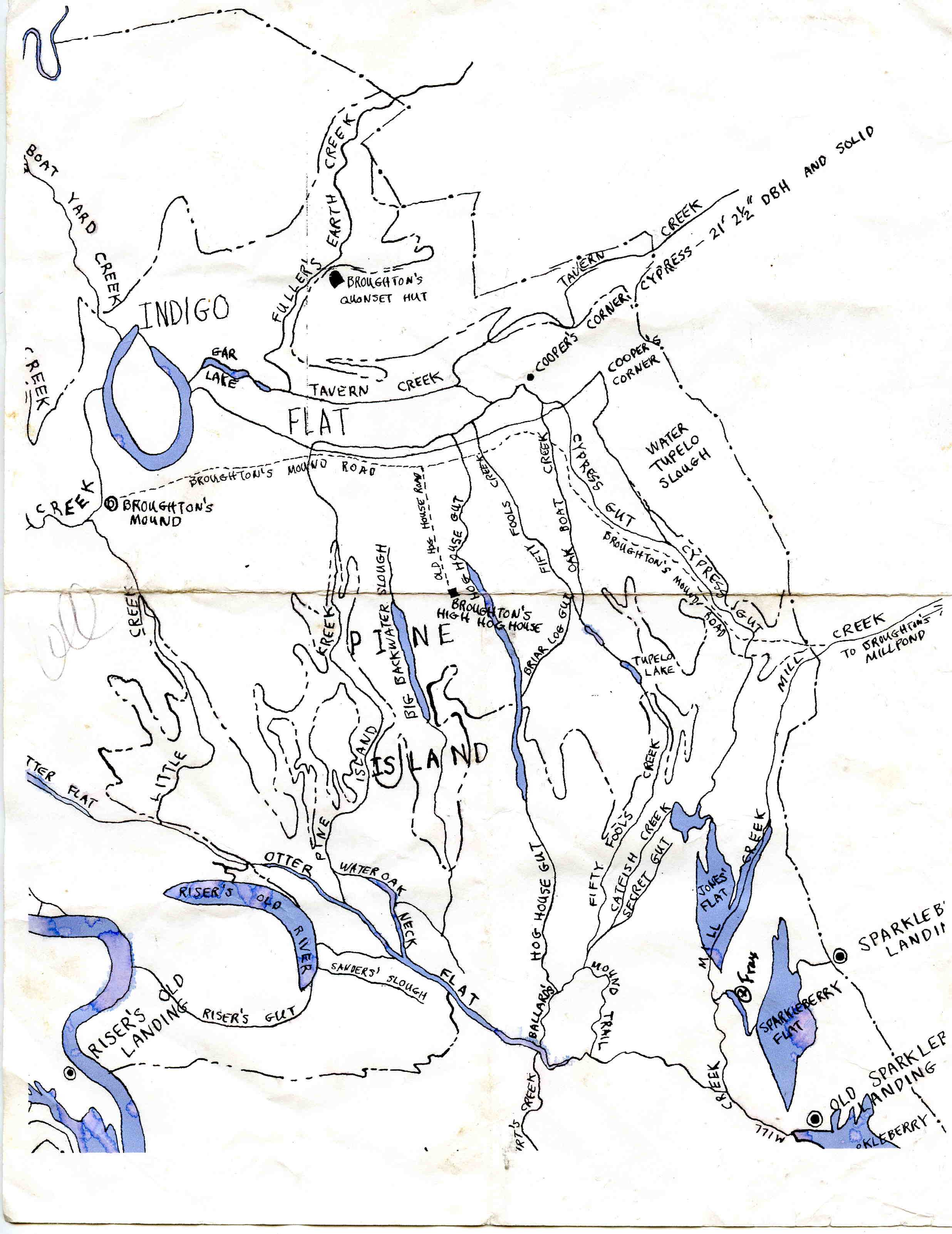
The “flats” are large, lake-like features, usually opening off of some creek. Creeks are established channels, usually with a bit of current. “Guts” are depressions that are usually flooded and navigable. However, at low water they might be dry. With this map we laid out our approximate route along several creeks and flats.
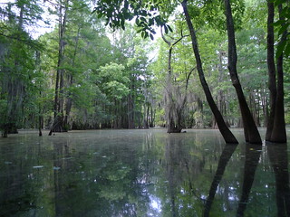
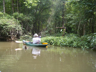
When we entered Jones Flat we could hear the voices of the other paddling group, but those soon faded out and we had the swamp to ourselves. We began to see lots of wildlife. Prothonotary warblers flitted from branch to branch, taunting us with their “sweet-sweet-sweet” calls. I was never able to get a shot, but I think Matt got a couple of photos. There were lots of herons and snowy egrets. We saw several small gators, and another family of deer. The flats themselves were covered with water vegetation of some sort in places, but for the most part were wide open.
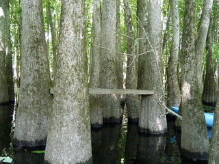
We had a target. For some reason I had a waymark listed as a “tree chair”. Seeing as this was one of the only landmarks (swampmarks?) in the area, we decided to try to find it. At the edge of Jones Flat, hidden behind some of the swamp vegetation, Alan spotted it – a board nailed between two trees. Well, not much of a chair, but I bet you could sit on it. We didn’t attempt it. At least it let us know where we were on our map so that we could proceed to the next location. While it may not be much, these little man-made anomalies are all that break up the uniform view of the swamp.
From the tree chair we cut west across the deep swamp, and found ourselves headed southward on Fifty Fools Creek. The only difference between the creek and the deep swamp area we had just traversed was that there was a bit more space between the trees, and you could kind of see where to paddle. Our target was the floating cabin, which I knew to be on this creek. At the very least, it would get us back to Otter Creek and the main route.
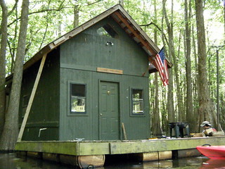
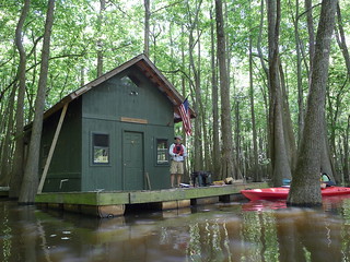
My GPS coordinates didn’t fail me. We found Fifty Fools Cabin hidden in the woods, just as Dwight and I had done before. It looked a bit worse for the wear, sagging a bit in the middle. There were no occupants. Matt and Alan went aboard, and found the door open. They took a peek inside, while I worried about swamp people taking umbrage with our trespass. The sounds of a boat motor reinforced that worry.
Inside Matt found several bunks, some supplies, and a well-stocked wine rack. Hmm, not PBR? I guess these swamp people were a bit more sophisticated.
We left the cabin and headed on down Fifty Fools Creek. We soon came upon the boat I’d heard earlier – two fishermen trying their luck in the deep swamp. I don’t think they were associated with the cabin.
Getting back to Otter Creek was trickier than we thought. We hit several parallel paths, but eventually found ourselves on the right path. The presence of several motor boats zipping past confirmed that we were in the right place.
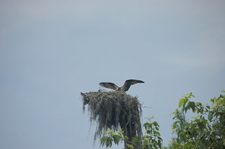
We paddled along Otter Creek Flat for awhile, making our way toward Riser Lake. At one point the channel splits, with White Oak Neck heading off to the northwest, and Otter Flat to the southwest. At the confluence, in the top of a tall dead cypress, was a huge osprey nest.
The osprey was NOT happy we were there, so we continued on our way. A family of wood ducks distracted us for a bit, though…
Eventually we found the cut-through to Risers Lake. There was a bit of a breeze, and the lake was choppier than on previous visits. We crossed over to high ground and stopped for a late lunch.
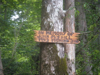
Suitably refreshed, we made our way down the lay toward another cut over to Otter Creek. We passed a tree full of snowy ibises. Soon, we found what we thought was the correct route, marked by a memorial sign.
My mantra, based on two previous trips through here, was “Trust the route.” In other words, stick to the clearest route and don’t try to bushwhack (swampwhack?) a shorter route to Otter Creek. We tried that on one other LCU trip and several had to portage over higher ground, or squeeze through very tight vegetation. That mantra was all well and good…had we been on the correct route.
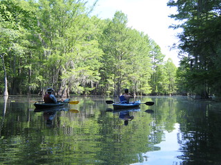
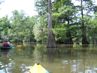
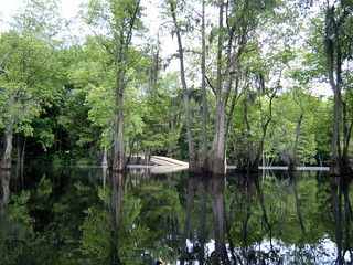
As it was, we were on Sander’s Slough, which doesn’t really connect to Otter Creek. The scenery was great, though.
Fortunately for us, the water was high enough that we were able to get back to Otter Creek. We came out much further downstream, at the cutoff to McGuirt’s Lake. We recognized a couple of key trees and signs, and knew we were back on the right path.
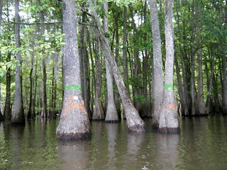
By this time we were getting pretty tired, so we decided to head on back without much delay. The wildlife still kept us company, but so did a couple of fishing boats. This part of the trip is very well marked with blazes, so it wasn’t as hard to follow. We even saw blazes for the turn-off to Fifty Fools Creek, should we ever try to come up the “correct” route.
At the end of Otter Creek there is a tricky turn that I’ve missed once before, and I missed it again this time. I always want to turn south toward the more open water, while the actual path is north deeper into the swamp for a bit. Fortunately, Matt was paying attention to his GPS and the blazes, and got us headed in the right direction.
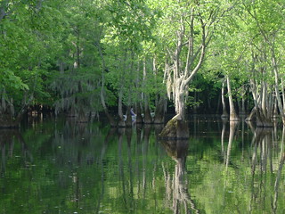
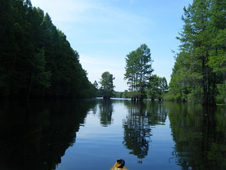
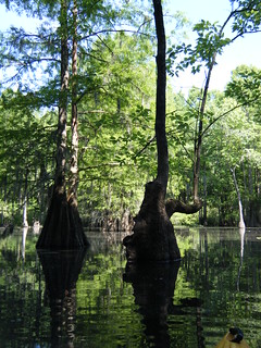
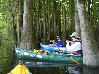
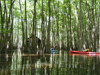
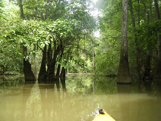
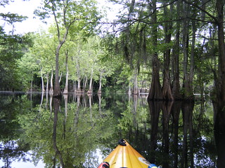
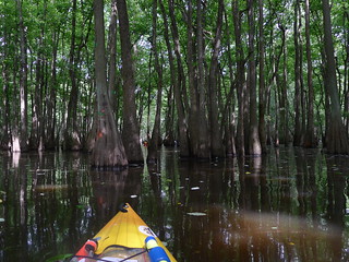
This was the section we missed when we went too far south on the first part of the trip, and it’s the section I definitely DIDN’T want to miss this time. It’s the section that first made me fall in love with Sparkleberry. The huge cypress trees come together to form a cathedral. With the trees now in full leaf, the effect was even more pronounced. Everything seems magical, almost other-worldly.
Soon we were back out on Sparkleberry Flat, and headed back to the landing.
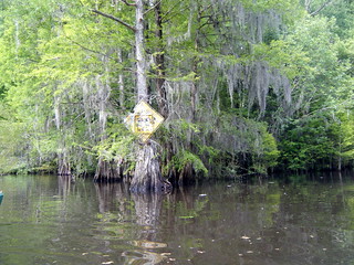
Our landmark for the canoe cut is a beat-up speed limit sign. It seems to be getting worse and worse as idiots take pot shots at it. Soon enough, though, we were back at our landing, another successful swamp trip under our belts.
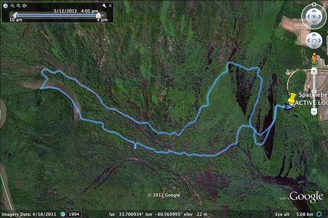
According to the GPS we had traveled 8.85 miles. It seemed farther. Here’s our route as shown on Google Earth…
As usual, I took far too many photos to display here. Here is a slideshow of those photos from my Flickr account…
The radios worked great. Even though there were only four of us, and we had no trouble staying together, the radios allowed us to alert each other about wildlife without shouting it all over the swamp. These will really be useful when we have a larger group.
All in all, it was a fantastic trip, and one I’m wanting to repeat soon.
UPDATE: Matt has uploaded his photos from the trip to Flickr. Here’s his slideshow…



Looks and sounds like a great trip! Sad I missed it.
Lots of folks are saying they hated missing the trip, so I think another one is in order. I’ll keep you posted.
I would love to purchase a copy of the hand drawn map of the upper santee river flood plain if you would be willing to help please contact me tfloyd27@live.com
Tom. I’ve paddled sparkleberry but without any real knowledge of where to go. just using mulitple GPS units in several boats and lots of spare batteries to keep from getting lost. I would absolutely love to get GPX files for a nice route like the one you guys documented above. Could you get me GPS data (or post it), please? I foresee a trip there this thanksgiving, and stopping to see my 92 year old gramma in Sumter.