The first Second Saturday of the new year means a new year of adventure for Lowcountry Unfiltered. In winter months we usually do a hike of some type. Last January our group took a hike to the top of Table Rock. This year we decided on a bike ride along a portion of the Palmetto Trail.
The inspiration for this trip came from a dubious source. Onlyinyourstate.com is a click-bait site that uses local interest and manipulative lists to get eyes on advertising. The lists tend to be quite random, with titles such as “23 Unusual Things You Must See in South Carolina,” and information in these lists is often incorrect. The site uses photographs gleaned from Flickr, Facebook, and other sources without the photographer’s knowledge. However, they do give credit and links back to the source, so it’s not all bad. Otherwise I’d have a REAL problem with them, other than low quality material and too much advertising.
For some reason, though, people LOVE this stuff. I see more shares on various groups from this site, despite the low quality. Heck, I even click on this stuff, which is why I know about it. One such post was entitled “Everyone in South Carolina Should Visit this One Tiny Town.” It was another list, albeit unnumbered, listing interesting tidbits about the town of Peak, South Carolina. Several of the LCU crew spotted this post and thought that it should be our next target.
I had visited the area many times, and suggested that we do a bike ride along the Palmetto Trail. We would treat this like a kayak trip, dropping a vehicle and one end and running a shuttle so that we’re only riding one way. It was a short ride, but there were unknowns (such as weather), and this should give us time for photography. We had the added advantage of being able to leave Matt’s vehicle at the half way point so that we could feast on bratwurst for lunch.
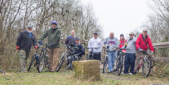
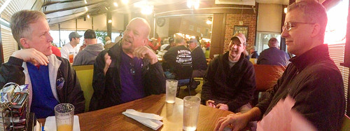
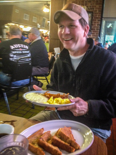
The day arrived and I picked up Alan in route. Our meeting spot was Bill & Fran’s Restaurant in Newberry. That’s gotten to be a regular spot for Alan and me to stop for breakfast on our way down for paddling trips, etc. This time the rest of the gang would be coming up our way. We were joined by Dwight from Columbia, Jerry from Orangeburg, and Matt, John, Sean, Jimmy, and Trent from the actual Lowcountry. There were nine riders in all. Seemed like someone with a ring should be leading us.
Finding a table at Bill & Fran’s was a challenge. The parking lot was full of pickup trucks, which is always a good sign. We were able to spread ourselves over a couple of booths, but the joint was hopping. There was table after table of guys pretty much just like us.
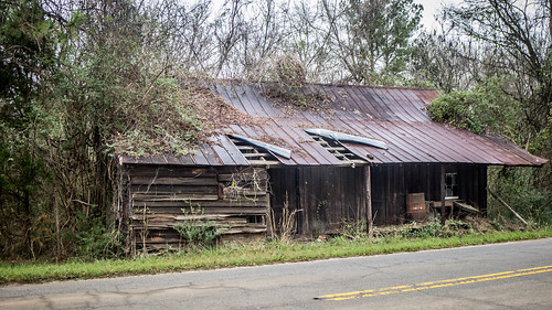
After a rather filling breakfast we headed out. The plan was to take Highway 34 to Highway 176, then down to Pomaria. What we didn’t know was that there was a bridge out on 176. We were forced to detour much further to the east, along the banks of Parr Shoals. Eventually we reached Pomaria. Both John and Matt were wanting to stop at all of the cool old stores and houses along the detour and take photos.
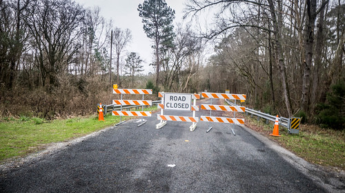
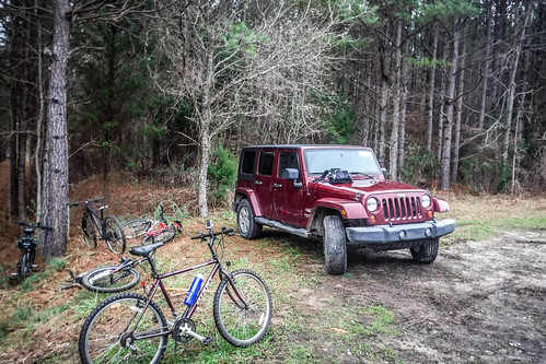
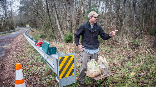
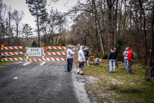
We left my car at Pomaria, then headed to Hope Station, the midway point on the trail. Once again we encountered “Road Closed” signs as another bridge was out. However, with a bit of manipulation, Matt was still able to position his Jeep in the correct spot and we were able to continue our trek. Down 176 to 213, turn east, and soon we were crossing the Broad River and making the southward turn toward Alston and our starting point.
The weather for the day was iffy. It was already cool and misty, and rain was expected to roll in later in the day. We weren’t sure how much time we would actually have for exploration. It wasn’t too bad when we set out, though.
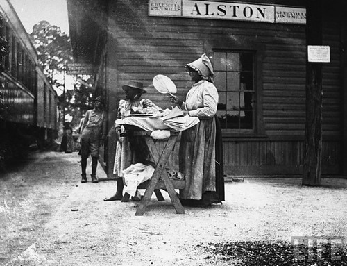
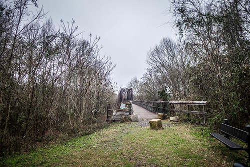
Alston and the Broad River Bridge is one of my favorite spots. Alan, Houston and I used this as a launch point for a long paddling trip down to Harbison State Forest, and I’ve used this as a setting for a portrait of my parents. Other posts with descriptions of prior visits can be found here and here.
As for the trail itself, the Peak to Prosperity Passage of the Palmetto Trail follows the old Greenville & Columbia rail line. The line was constructed in 1853 and carried passengers from Columbia through towns in Fairfield, Newberry, Greenwood, and Greenville Counties.
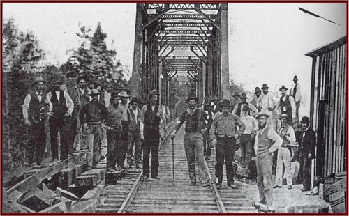
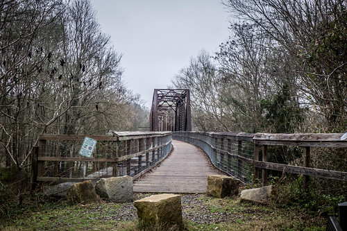
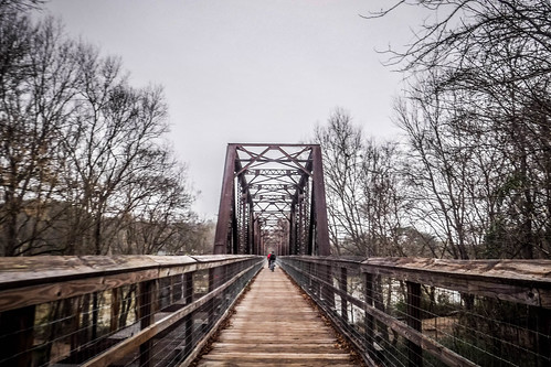
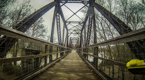
The original bridge across the Broad River was destroyed by Sherman’s troops in 1865. The railroad was rechartered in 1880 as the Columbia & Greenville Line. The current steel bridge was built in 1903, after the railroad had been sold to the Southern Railway Company, and eventually Norfolk Southern.
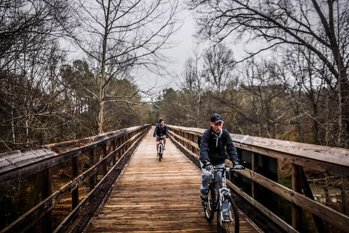
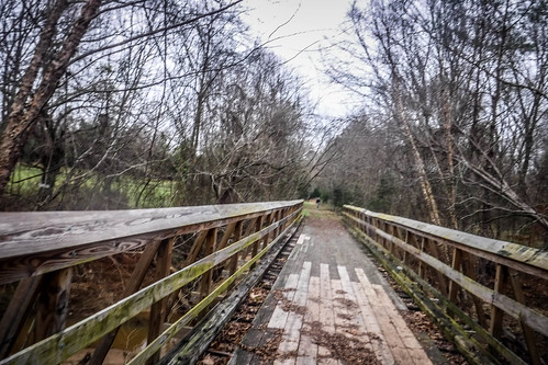
Norfolk Southern abandoned the rail in 1995. In 2009 the Palmetto Conservation Organization added the Peak to Prosperity Passage to the Palmetto trail with the decking of the Broad River Bridge.
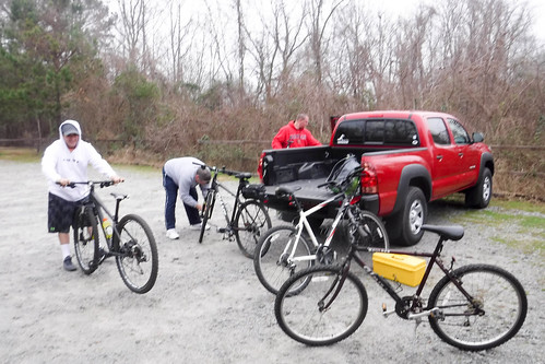
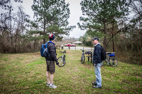
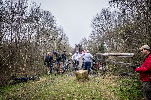
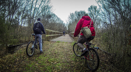
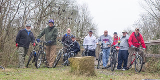
We got ourselves organized, pumped up tires, and posed for our group photo at the end of the bridge, then headed out.
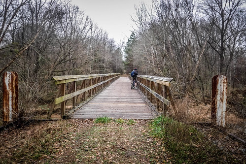
Almost immediately I realized I’d made a tactical error. The bridge is just far too interesting. While several of the group rode on ahead, the photographers in the group were far too distracted. We probably should have started in Pomaria and saved the bridge for last. As it was, our group was going to string out, then regroup several times over the course of our journey.
I also realized that bike photography is much more difficult than kayak photography. If I take my hands off my paddle when I’m kayaking momentum keeps me going along for a bit. If I take my hands off the handlebar on my bike to take a photo, I crash. I have to stop. I was glad I had the GoPro running for most of the trip.
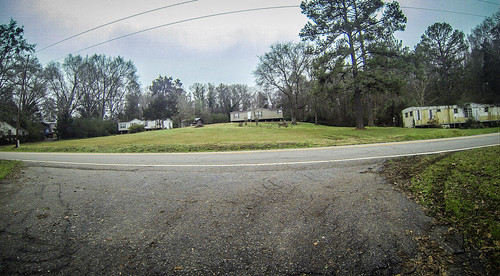
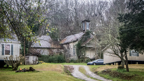
On the other side of the bridge is the town of Peak. The town was initially resistant to construction of the trail. I don’t know if they have come to terms with it or not, but I haven’t heard of anymore problems with local residents. I had hoped to take a few photos of the town itself, since this was the subject of the OnlyInYourState article. I found the old Saint Simon’s Church, but it was behind a couple of mobile homes and I didn’t really feel like exploring it.
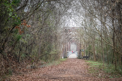
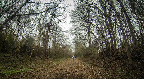
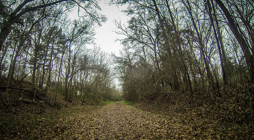
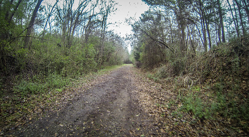
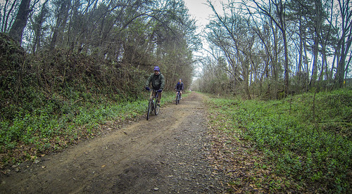
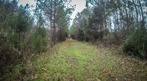
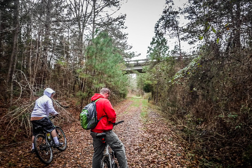
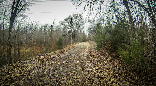
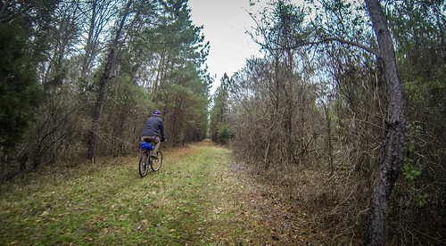
Some of the group had ridden on ahead, Alan, Dwight and I were looking at the church, and Matt and John were still taking photos of the bridge. This could be a long day. Finally they caught up and we continued. The trail through here had some loose stones, but for the most part was well-packed and easy riding for mountain bikes.
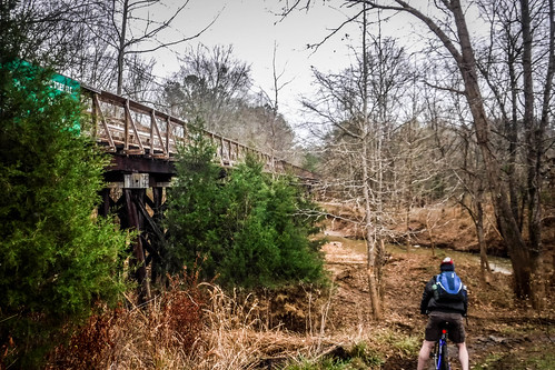
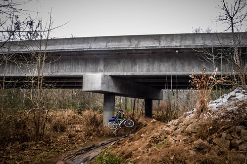
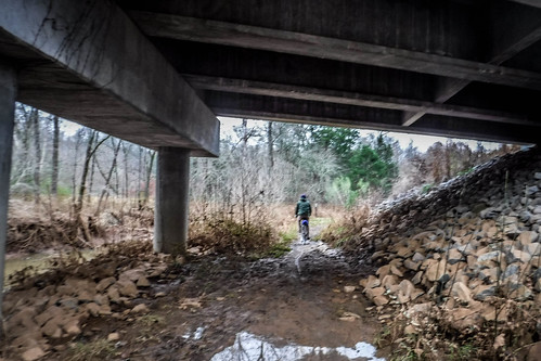
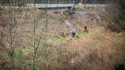
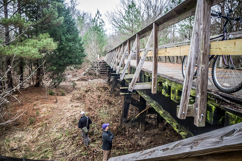
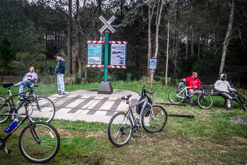
We came to another long trestle over Crims Creek. Below we could see where the floods of October had wiped the area. The picnic tables were still there, but it was amazing to see where the water had been. The trail crossed the trestle, then dipped downward to go under the Peak Road Bridge. The rest of the guys were waiting for us on the other side of the bridge. We joined them and waited for Matt and John so that our whole group was together.
To be honest, I think it would have been easier to just walk across the road, but the trail designers didn't want foot traffic and automotive traffic to mix.
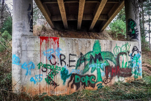
Not too far beyond Peak Road an overpass crossed the trail. The Highway 213 bridge was covered in graffiti as we passed below.
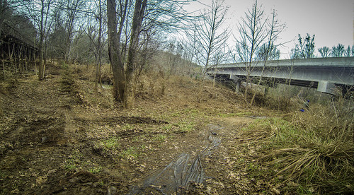
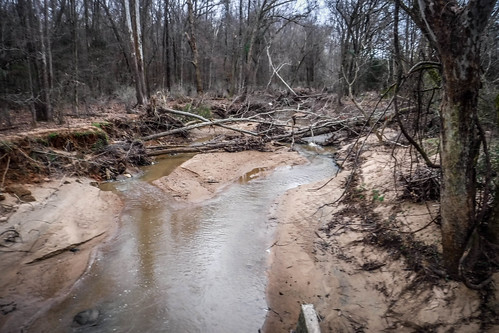
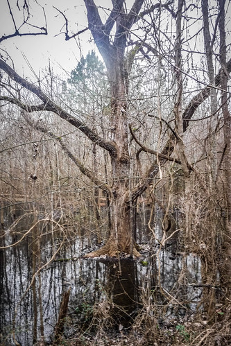
The trail continued on straight for quite awhile. We crossed a couple more trestles, and could see more high water and flood marks down below. This wasn't just from October. They have had heavy rains over the holidays, and water was standing in fields and forests all along the trail. I was glad we were on an elevated pathway.
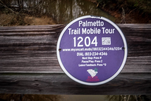
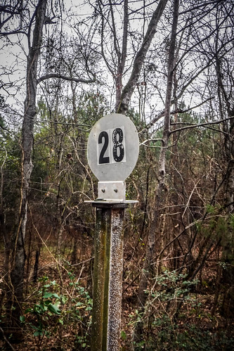
The trestles had round signs with QR codes. I scanned one or two, and got an audio tour message. Sadly, the message was more about what was happening with the Palmetto Conservation Group, and which Boy Scout Troop had helped maintain the trail, rather than interesting historical facts about the area. Later when I checked the site I did find more interesting audio bits, but finding two in a row that were ho hum made me lose interest. I made a mental note should I ever be tasked with designing an audio tour. Also occasionally there were round signs with the mileage. We weren't sure what the numbers really meant.
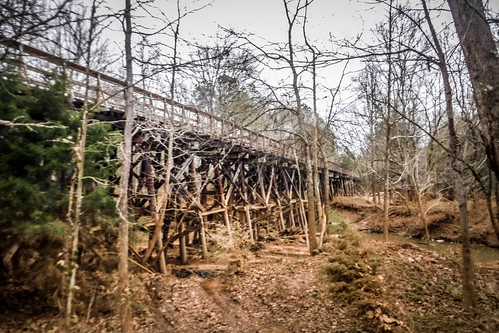
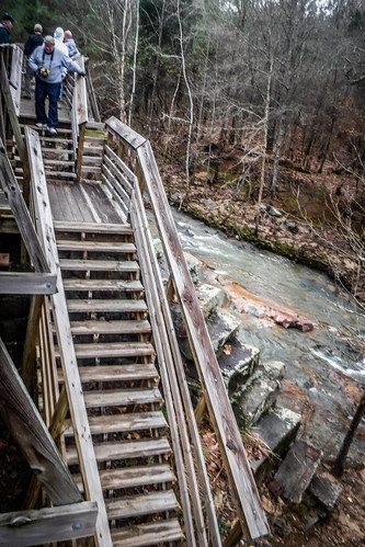
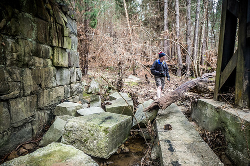
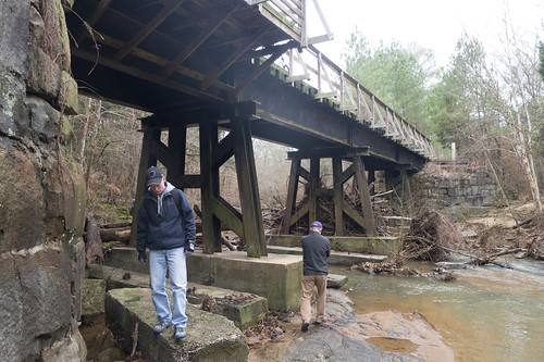
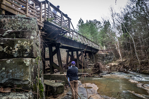
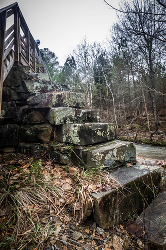
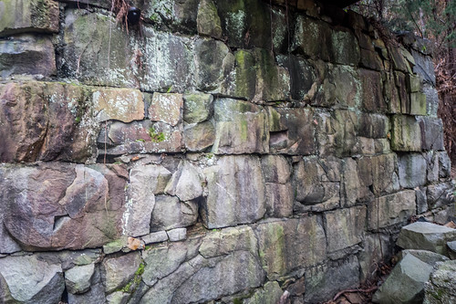
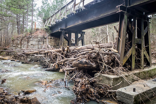
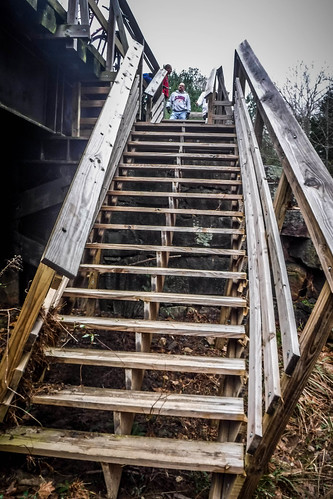
We came to another trestle that had a more elaborate understructure. This was Nathan's Trestle, another Civil War landmark. This trestle was also destroyed during Sherman's advance through the state. The old stone buttresses remain. A stairway provides access down to Crim's Creek.
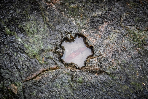
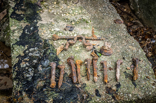
Of course, we had to explore. Down below several railroad spikes and other metal objects had been laid out by prior visitors. There were also several interesting holes in the rock.
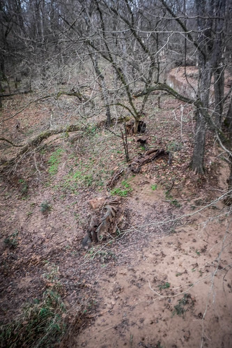
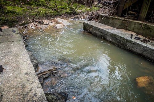
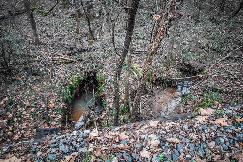
Here there were also signs of flood damage. There was a massive collection of wood jammed up against the trestle supports. The handrails for the stairs themselves looked like they were leaning downstream.
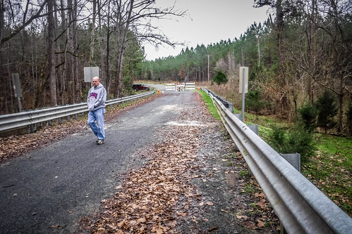
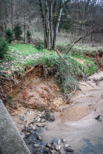
We continued on for a about a mile and a half and before we knew it we had arrived at Hope Station. Matt's Jeep was waiting for us, miraculously on the correct side of the closed bridge. It was obvious, though, that damage had been done to the bridge in recent floods. The banks were undercut, and there were holes in the bridge decking. Even though it appears intact, I wouldn't want to drive across it.
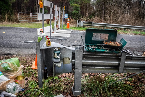
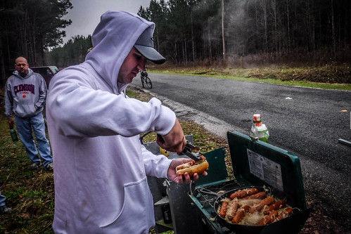
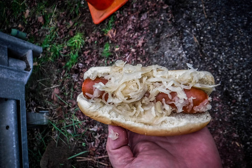
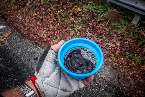
We had our usual feast of bratwurst and sauerkraut, accompanied with a taste of pumpkin stout from James Brown's new endeavor, Salt Marsh Brewing.
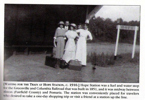
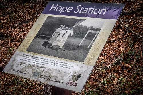
Our lunch stop was in an area I knew well. To the west on the other side of the bridge, about a mile away was the old St. John's Lutheran Church and School, one of the oldest churches in the area. Just up the road a quarter mile away was Hope Rosenwald School, where I had attended a dedication after its restoration. The station itself was a fuel and water stop located just a few yards further along the trail.
Several of the group rode on up to Hope School. Since I had visited it multiple times I decided to stay put. Soon the rest of us were off once again on the trail.
This part of the trip wasn't nearly as pleasant. First, I shouldn't have eaten as much bratwurst. Secondly, the ballast stones along the railroad bed were not as tightly pack, so the ride was much, much rougher. Soon it became quite painful in certain...spots.
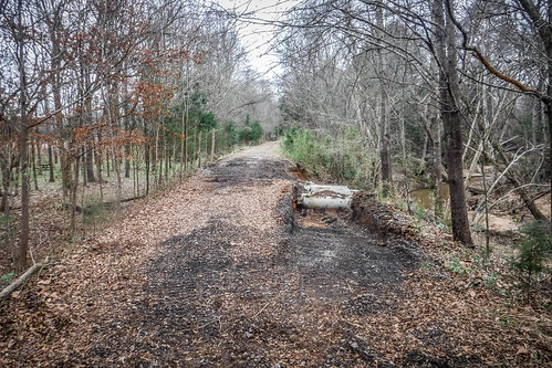
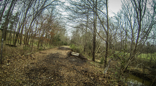
Alan, Dwight, and I fell behind. Occasionally Dwight and I would dismount over rougher sections. To be honest, I took a few photos, but not many. There was more flood damage, including one section that looked like the trail had washed away then been rebuilt. Some of the trestles had been repaired as well.
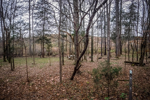
Crim's Creek ran along side the trail through the section. The additional water made for a nice sound as it fell of several small drops. At the point where the trail had washed out there was a designated campsite with a picnic table for hikers. Right now it looked a bit muddy for use.
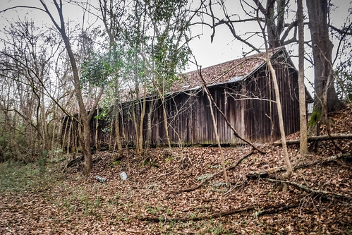
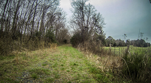
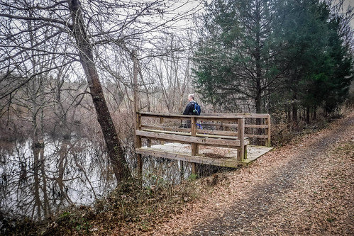
Soon fields started to open up on either side, and I figured we were getting close to Pomaria. We passed a nice overlook at a wetlands area, then came upon an interesting old warehouse building that had once been along the railroad. The rest of the guys were waiting patiently. They had to. My car was the one at the end point, and I had the keys. Matt and John were taking advantage of our tardiness to explore and photograph the old town.
I loaded all the drivers into my car. We dropped Matt off at his Jeep, then dropped off the others at their vehicles at Alston. Back in Pomaria it was just starting to rain as we loaded up the bikes.
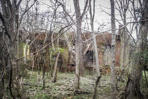
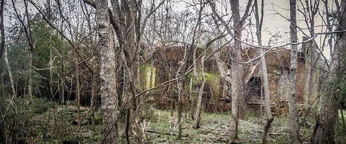
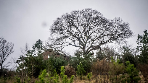
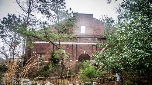
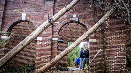
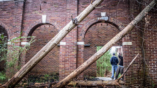
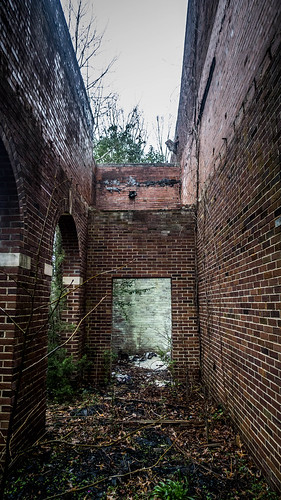
Several of us still wanted to catch some photos. We drove back to Peak to photograph the old St. Simon's Church, then headed on to Jenkinsville to explore the ruins of the old school. The grounds had much more illegal dumping that Alan and I had seen on our previous visit. The rain was starting to come down in earnest, so we finished up our photos. Again, since I'd been here before, I didn't take too many photos.
We were getting soaked. There were other cool spots we could see, but in this weather it just wouldn't be fun. We said our goodbyes and headed to our opposite ends of the state, another day conquered with cool explorations and even neater discoveries.
A couple of final notes... Despite my previous disparaging comments about the audio tour, there is some excellent information on that site. Most of the historic photos from this post were found there. The tour covers the entire Palmetto Trail, and not just the Peak to Prosperity Passage. Check it out.
And lastly, I really do think this exploration is best in the opposite direction, especially with a group of photographers like us. The more difficult part of the trail would be early, with the easier ride at the end. The climax would have been at Peak, which seems appropriate, and we could have spent more time at the bridge itself. Lessons learned. Here's a link to a map of our travels.



Great stuff!
Loved the line: “Seemed like someone with a ring should be leading us.” Classic! But Tolkien should’ve known to include bratwurst in his books.