Tuesday I had one of my quarterly meetings in Columbia with the South Carolina Association of School Administrators (SCASA) Tech Leaders’ Roundtable. I normally try to drop in to visit my mom on the way back from these trips, but this time she was out and about. So, instead, I decided to see if I could find a few spots to try out the new camera. There are a couple of neat places just off the interstate – just a quick detour away – that are full of history and scenery.
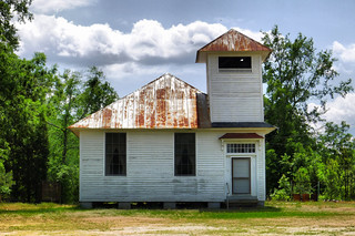
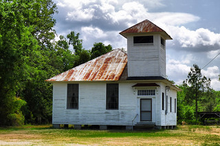
My first stop was to the west of I-26 between the towns of Little Mountain and Prosperity. I first spotted the old Wheeland School in the photo layer of Google Earth several years ago, and have made regular visits to it since then. I figured it would be a good test subject.
The old school was backlit in the late afternoon sun, so lighting conditions weren’t ideal. Even so, I think the little camera did a great job. I ran the image through ReVitalize to balance the colors and exposure a bit.
I really don’t have much information about this old school. I love the architecture, with the prominent bell tower. I haven’t been able to find anything about it on the SC Archives site. As with so many of these old schools, the building is now a community center. I was able to find a few other photos of the location being used as a polling place in the recent Republican primary, but that was all I could find.
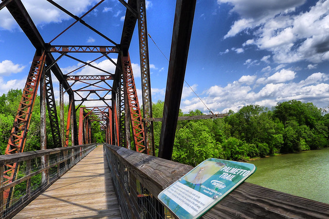
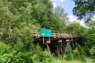
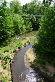
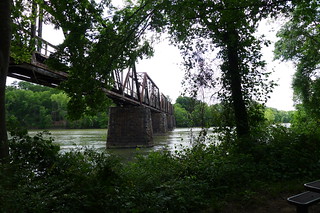
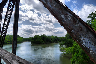
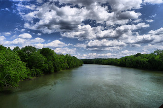
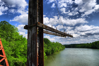
Moving on, I crossed I-26 and headed toward the town of Peak. The Palmetto Trail crosses through Peak, and a spectacular railroad trestle across the Broad River has been incorporated into the trail. Just to the east of the town another long trestle crosses Crims Creek.
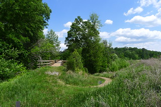
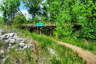
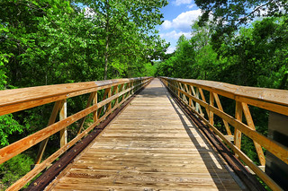
The last time I was here the trail across the creek had not been completed. Now the old SCE&G trestle has a walkway and rails across the creek. The trail then curves under the roadway bridge next to the creek, and emerges to follow the old railroad track on the other side of the road. I park the car and walked out onto the trestle for a few shots.
In the town of Peak itself there doesn’t seem to be much access to the trail. The people of Peak have seemed somewhat antagonistic to the trail, and didn’t want it coming through their town in the first place. It’s a shame they couldn’t embrace the opportunities, as Travelers Rest has done with the Swamp Rabbit Trail. I headed back out to the main road and crossed the Broad River, then turned down toward Alston Station.
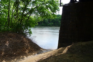
The Palmetto Conservation group has done an excellent job of developing this site. There are picnic tables, a canoe/kayak launch, and a primitive camping area.
I first walked down to the launch site just to check it out. I didn’t want to do too much hiking since I was still in professional attire from my meeting. I would love to paddle this section, but the next public access point on the river is all the way down in Harbison, which would be quite a long paddle.
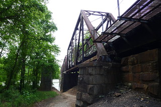
I climbed back up to the parking area at the entrance to the trestle and started walking out across the river. The wind was really whipping, so I didn’t walk very far out onto the bridge.
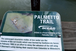
Since the last time I was here they have added some new signage. One in particular caught my eye. This sign points out the ruins of a previous rail trestle that was destroyed when Sherman’s army came through during their march from Columbia to Winnesboro. Turtles now sunned themselves on the exposed stonework.
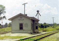
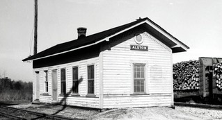
The railroad bridge is part of the V-Line from the Southern Railway, which ran from Columbia to Greenville. These are the rails that were removed to make way for the trail. The V-line branched off from the W-line at Alston Station. The W-line is still very active, but all that remains of the old station is the locale name.
According to the Best Friend of Charleston website, the depot was purchased and moved to a private location somewhere on Lake Murray.
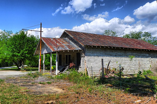
I continued my homeward trek, avoiding the interstate as long as possible. I followed the Broad River Road along the west side of Parr Shoals, stopping once to admire the boat ramp on the reservoir as another possible paddling locale. I made my way to Maybinton, which was on my list as a potential ghost town site. Since it was already late I didn’t have much time to check it out or do much research, but I did pause to take a photo of the old Reese Mercantile store.
Overall I was very pleased with the performance of the new camera. I really like the fast lens and wide-angle capabilities. I do wish it had more zoom, but it does seem to be a good all-around camera.





Great results from your new camera. Some of the shots with the sky have an almost hdr look to them.
Confession – some of those have been run through the ReVitalize HDR app. I like the way it makes the clouds and sky pop, while leaving the rest of the image fairly natural.
Great photos of a fascinating area. I live just down the road toward Irmo and spend a lot of time up along the eastern half of Newberry County. I’m not sure there’s a ghost town in Maybinton anymore, but there are some ghost stories. The book Our Father’s Fields by James Kibler is all about Maybinton, past and present, and talks about some of the ghost stories, as well. It’s an excellent read.