I should have known better. I thought I’d be ready for the challenge of Table Rock. After all, I’d hiked it many times before. I’d even run it once, hiking to the top quickly, then coming down in a flat-out run. However, that was 30 years and 80 pounds ago. This would be almost more of a challenge than I could handle.
This was a Second Saturday, which meant a Lowcountry Unfiltered outing. Lately our group has been ranging much further than traditional Lowcountry locations. Last fall they came up for Jocassee, and for our 2015 adventures we’ve decided to take some longer trips.
I had just gotten back from Florida. Thursday I’d driven down to get Laura back. She had been gone for a full month while tending to her mother. On Friday I’d made the 10 hour trip back, so I was having second thoughts about the hike. Matt and James would be camping at the park, and John and Sean would be staying somewhere close by. Even though I’d been traveling, I decided to go for it.
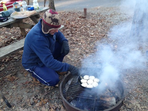
I got up early Saturday morning and headed up to Table Rock. Despite the 20º weather, I didn’t find to frozen bodies at campsite 74. I found Matt and James enjoying breakfast.
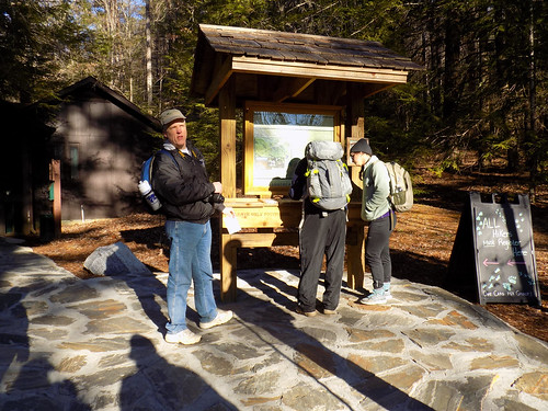
I drove on over to the trail head, and soon the rest of our group gathered. There were the “Disciples” – Matthew, John, James, and Thomas – joined by Sean and Alan. We registered our group then headed on up the trail.
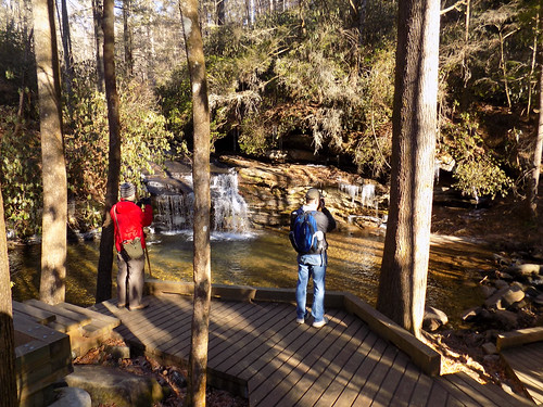
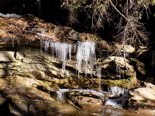
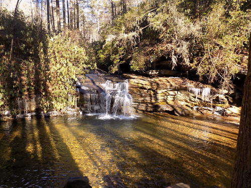
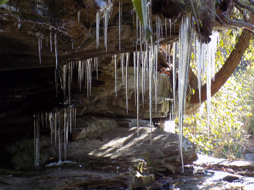
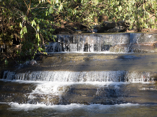
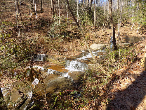
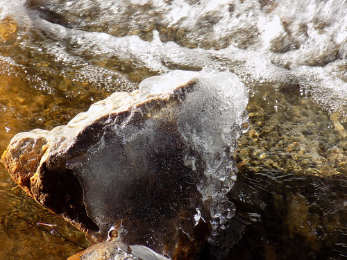
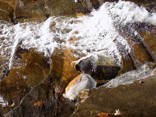
The small waterfall on Carrick Creek first distracted our group. The long icicles were an added attraction.
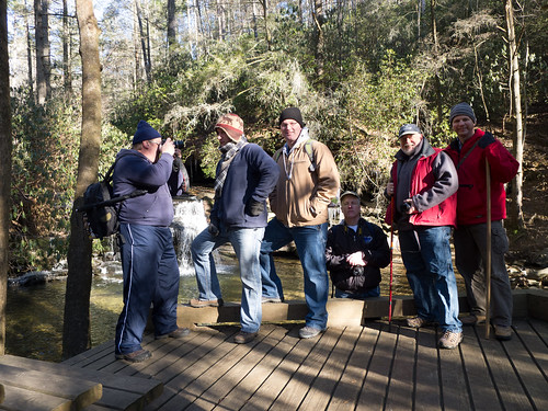
We figured this would be a good place for our first group photo.
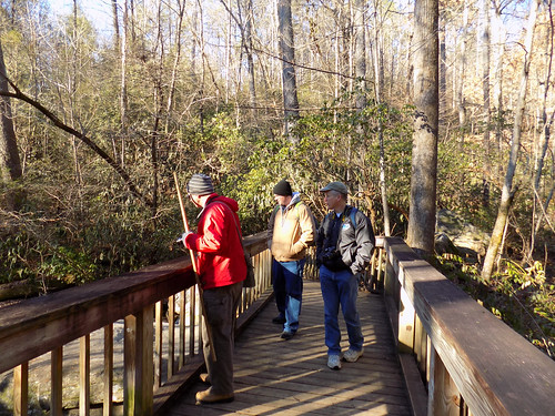
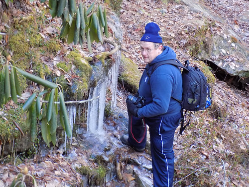
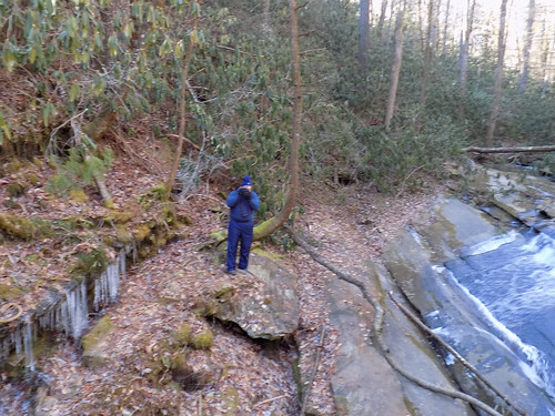
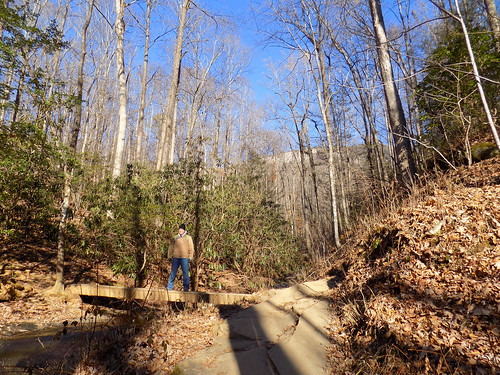
As usual, this group is easily distracted, especially if there is something unusual like gigantic icicles. We paused at several small bridges across the creek to pose for photos and take our own.
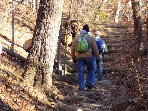
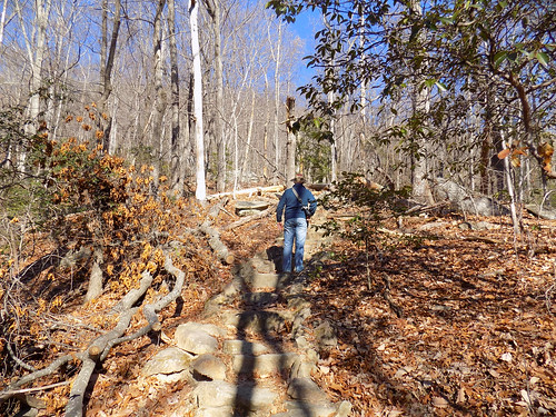
The trail started upwards. I was still doing fine, but a bit apprehensive about the climb. We got a reality check when we found that we had only made it a half mile. Three more miles to go.
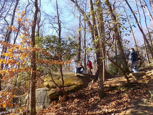
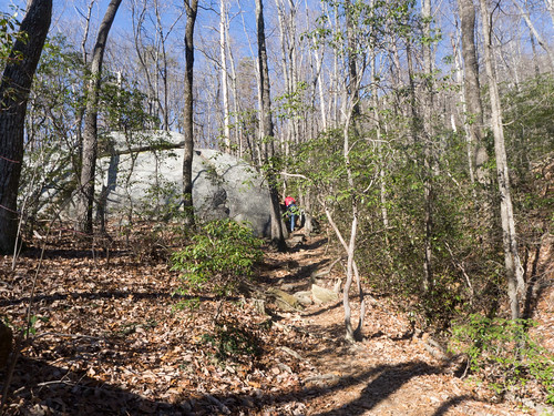
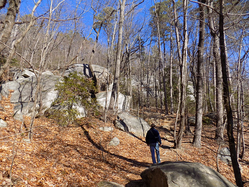
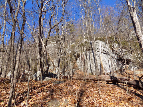
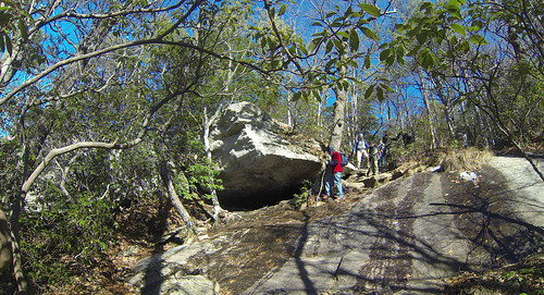
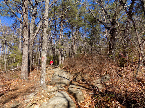
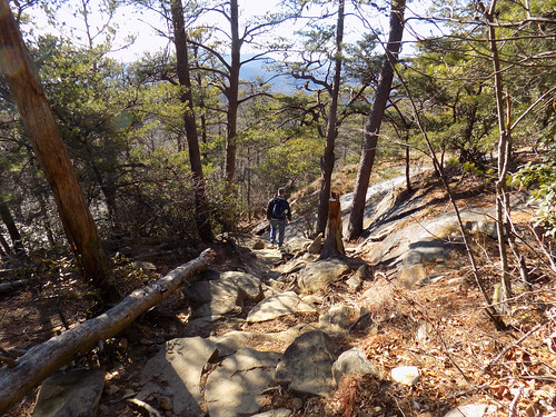
We reached the point where the Carrick Creek Trail continues west, and Table Rock continued eastward. As the trail wound upwards, it passed through several boulder fields. The guys felt compelled to pose, once again.
At one point Alan spotted a bit of chipped rock that looked just like a child’s profile.
We passed the one mile mark and we continued upward. At this point my knees and ankles started to give out. I started to fall behind as we continued through the boulder fields. James hung back with me a bit.
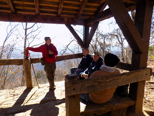
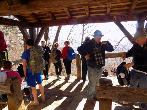
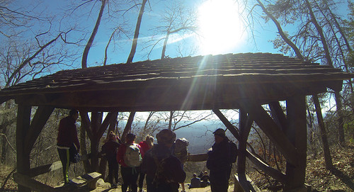
At about the 1.25 mile mark is a nice little shelter. We met up with the rest of the guys, and a whole host of other people. Seems like this was a popular stopping point, and lots of people were out on the trail today.
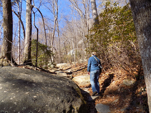
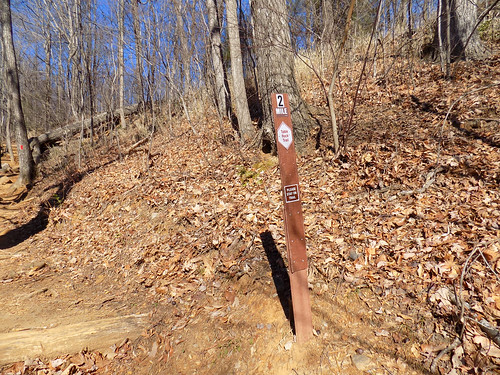
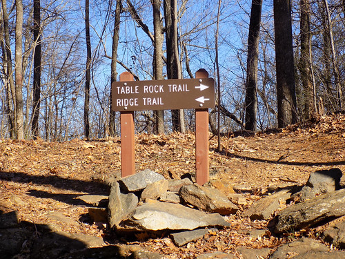
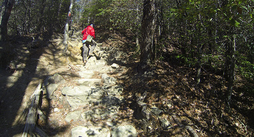
The trail got steeper, and I got slower and slower. Matt was kind enough to hang back with me, but it seemed that the trail was getting even steeper, and I was hurting with every step. We reached the two mile mark, then the intersection with the Ridge Trail.
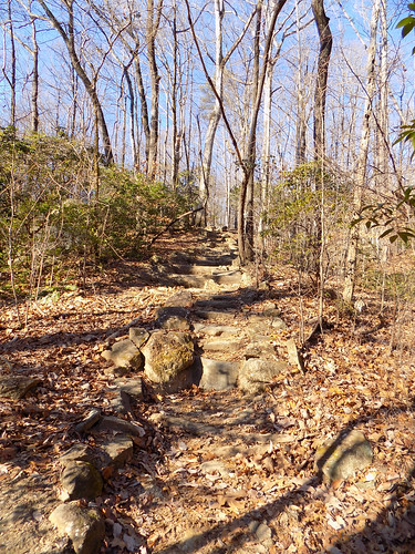
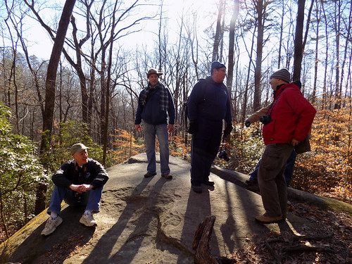
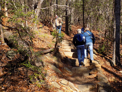
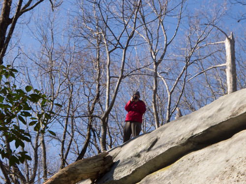
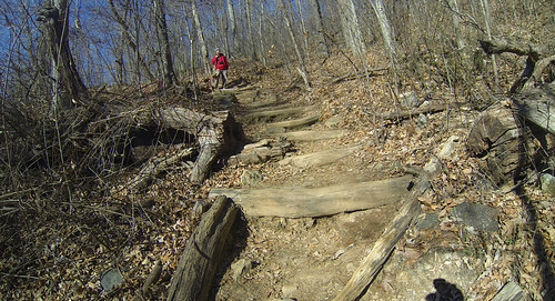
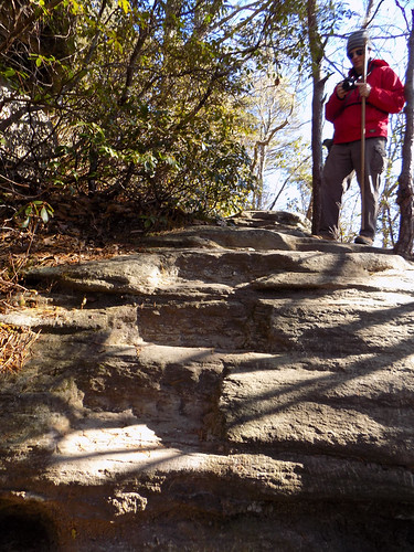
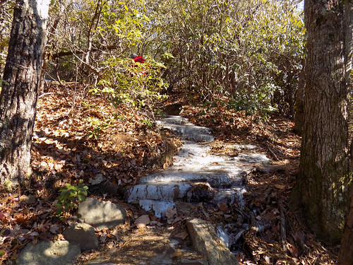
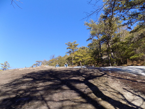
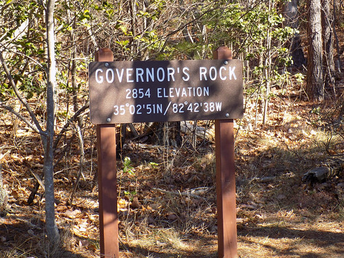
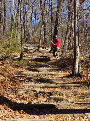
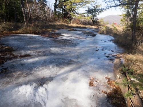
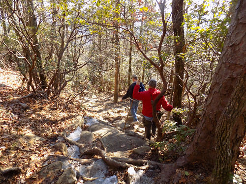
At several points we found steps carved into the rocks. The trail was iced over at several points. Eventually we reached Governor’s Rock, with views to the west toward Pinnacle Mountain. Alan was waiting for us on the rock, but the rest of the guys had moved ahead.
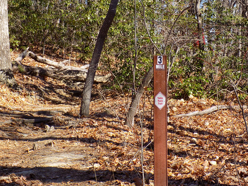
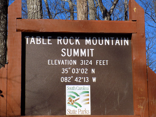
I was ready just to stop, hang out, and have lunch there. Matt said that the trail leveled out, and that it wasn’t that much further. Earlier we had discussed that this trail was like one of the lines for a ride at Disney World. Just when you think you’re getting close, the line veers off. I had a fear that this was doing the same, especially when I saw that we had only reached the three mile mark. I was barely moving by this point. However, I did reach the summit.
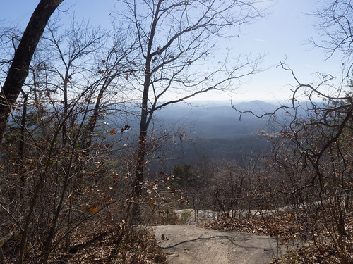
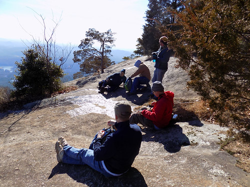
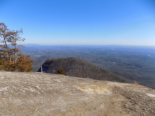
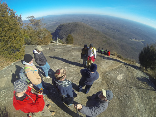
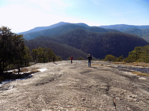
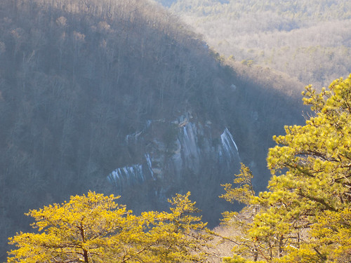
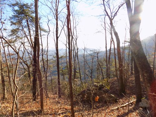
Finally we reached the overlook and caught up with the rest of the guys. The view was incredible. This part of the rock overlooks the “Seat” – the smaller mound below the “Table.” The view also included all of the Piedmont – Paris Mountain, Glassy Mountain to the East, and all the area in between.
The trail actually continues on to an overlook of the Greenville watershed reservoir. Several had continued on down, and after I finished my lunch I decided to check it out. I met Matt and John on their way back, and they said it was quite a way down. I was at a significant ice patch, and was hurting. I decided to head on back.
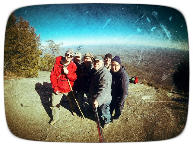
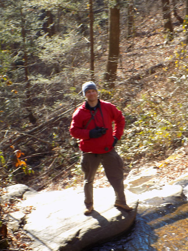
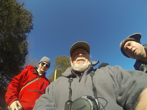
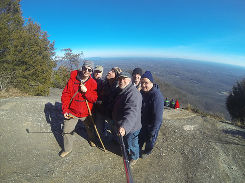
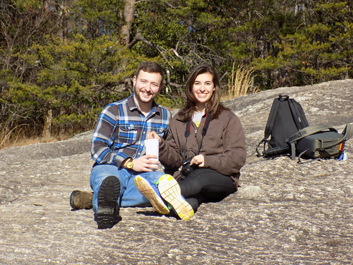
I had my GoPro and we decided to pose for more selfies.
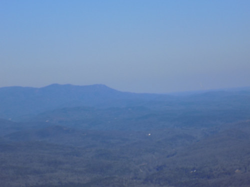
Off on the horizon toward Glassy Mountain Alan and I spotted a large plume of white smoke. From this vantage point it must have been huge. I tried to get a photo, but it doesn’t show up in this long range shot.
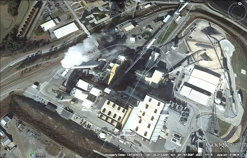
I suggested that ti might be the Duke Power Plant below Cliffside, NC. When I got home I checked Google Earth and found an image of the huge smokestack.
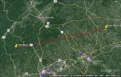
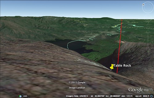
I created a line between the two points, then did an angle view from the rock to the smokestack. The angle was absolutely spot on. The smokestack was 55 miles away.
It was time for the long trek down. I was hurting. Have I already said that enough? It was almost as if I had forgotten how to walk. Any change in elevation was a challenge. Up was worse than down, but going down steep steps really hurt. Eventually we made it back to Governor’s Rock.
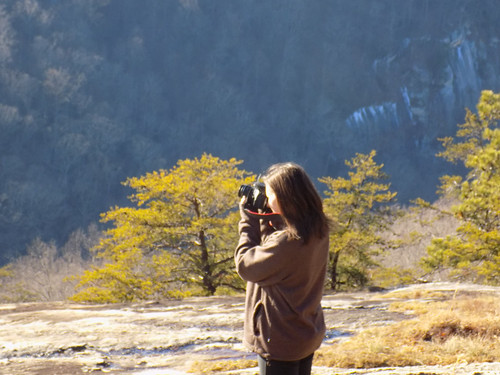
We met a nice high school couple who were into photography. The young lady had just gotten a camera for Christmas, and her boyfriend was taken media classes in high school.
Matt and Alan were hanging back with me, but I was creeping along. Everyone who had gone up earlier was passing us on the way back down. I was embarrassed beyond belief that I couldn’t walk faster than just a few steps at a time.
It was getting later and I was not getting any faster. I knew Matt had a long drive, so I sent him on ahead. Alan stayed back with me since he was local. I didn’t pull out my camera at all. It was getting later and later, and also darker. Finally after, much weeping and gnashing of teeth (at least on my part) we made it down to the parking lot. It was dark. My phone was dead, and I knew Laura was probably panicked. Once I had a bit more charge on the phone I made calls to all parties to let them know I was OK.
I made it home embarrassed and hurting. I wasn’t injured, but I had swollen ankles and every joint in my body was hurting. I was not ready for this trip, and I should have known better.
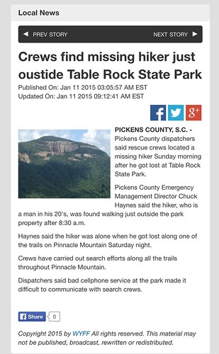
Could have been worse, though. I could have wound up like this unfortunate hiker on the Pinnacle Mountain Trail. He was lost, and didn’t make it down until after dark. At least he’s OK.
It was an exercise in endurance, but I made it, even if it was a slow slog most of the way. The trail is still one of the classics in South Carolina, and the views from the top are spectacular. I won’t say that I’ll never do it again. However, I will wait until I’m in better shape until I attempt it again.
Here are the rest of the shots from the day.
[fsg_gallery id=”59″]









Just for the record … I don’t think ANYONE who can hike Table Rock, particularly in their mid 50s, should be embarrassed about that. I’ve wanted to hake that trail since I was a little kid and got partway up it. Remember that first waterfall well – probably the first falls I ever saw. But, with my depth perception issues and weight and knee wear, … I admire you all for hiking this, and frankly for an act of determination! And, yes, it is an SC classic.
Next stop; Raven Cliff Falls overlook?
I think Raven Cliff might be a possibility. I’ve done that one before, too. But, again, it’s been a long, long time. I don’t remember it being as strenuous as Table Rock. We used to hike that before the trails were developed, and even used orienteering techniques to get back safely. I think I can make it to the overlook, but not to the falls themselves.
The trail to the overlook is nowhere near as demanding as TR. Going to the base … that is a different matter. And the trek to the top and the bridge is much longer and has some demands (though not the elevation change as TR). The overlook is a good one IMO, and the payoff is a spectacular shot from the overlook platform.
“Bravo” and “Encore”, Tom….when you’re ready.