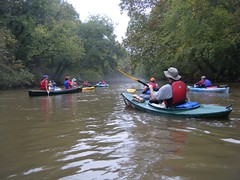
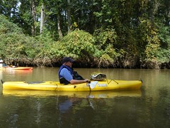
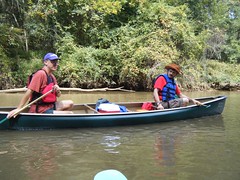
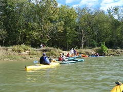
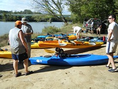
This time our Lowcountry Unfiltered group got two rivers for the price of one, plus a few ghosts and goblins thrown in for good measure. On Saturday we paddled a portion of the Enoree River to its confluence with the Broad River, then down to our take-out at Strother’s Landing.
Planning this trip proved to be a challenge. The group wanted to paddle an Upstate river, but didn’t have the boats for whitewater. There was also the matter of distance. These guys would be driving for 3-4 hours just to get here, so the paddling trip couldn’t be too long. If they’re driving that far, then the trip needs to be worthwhile, and not a drag through the mud.
My first plan was to paddle a stretch of the Tyger River. It had all the elements I needed – it was remote, full of history, and even a ghost story. Unfortunately, there wasn’t much water when Bob and I paddled it last month. It was more of a muddy hike while dragging boats.
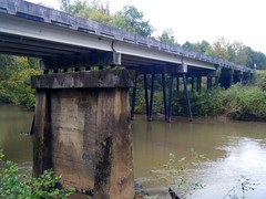
Fortunately, I was able to find a suitable route. We would put in at Keitt’s Bridge on the Enoree near Maybinton and float to its confluence with the Broad River, then paddle down to Strother’s Landing at the Highway 34 Bridge. According to Google Earth, the route would be about 7 miles. This route takes us through Sumter National Forest, so it’s suitable remote, and there’s even a ghost story – The Hound of Goshen.
The trip almost didn’t happen. I was out of work all week with a fever and supposedly the flu. However, my doctor gave me clearance to go kayaking. The other questionable factor was the weather. A front was supposed to come through with threats of rain and thunderstorms for the area. Saturday came and we decided that we’d go for it, even with the iffy weather.
I picked up Alan Russell and we headed to our rendezvous point. Since the put-in and take-out were right off of Highway 34, we had planned to gather at that highway’s interchange with I-26 in a local restaurant’s parking lot. As we drove south, the weather looked better and better.
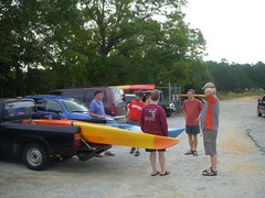
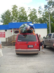
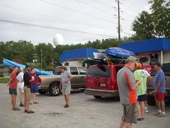
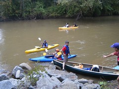
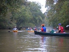
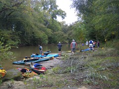
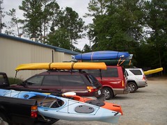
Our crew began to gather. In addition to Alan and me, Craig Lee drove all the way from Gainesville, Florida to join us, my brother Stephen came up from Sumter. Matt, John R, Jim, Joe, and Arching arrived from Bluffton, Dwight and his friend Terry came up from Columbia, as did John Nelson. David Freeland, Lis Lindley, and their friends Ric and Cara came down from Greenville. It was the largest gathering for any of our paddling trips. Total count – 15 paddlers and 12 boats, including a canoe and two tandem kayaks.
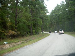
Dave and Ric had scouted the put-in and take-out last week, and knew the best routes. Our convoy of kayaks set off to the put-in on Maybinton Road at Keitt’s Bridge.
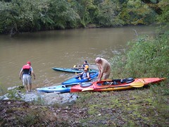
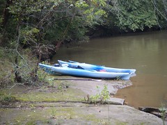
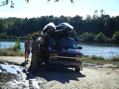
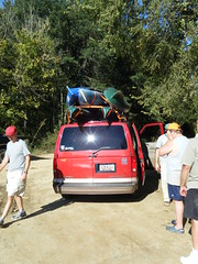
We off-loaded the boats and took most of the vehicles down to the take-out on Highway 34, then headed back to the put-in. After distributing supplies, we got underway a little after 10:00 am. The put-in was steeper than we might like, so launching was more of a challenge.
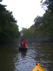
As we got underway the clouds had built back up and a mist began to rise over the river. It was unusually warm, and we were afraid that the rain was on on it’s way.
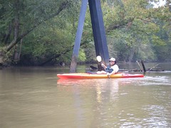
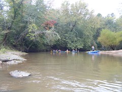
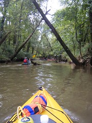
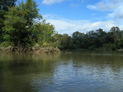
Water levels were low, but nowhere near as bad as our levels on the Tyger. We had a good current, and enough water to float the variety of boats we had.
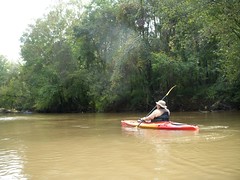
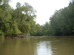
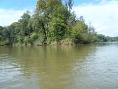
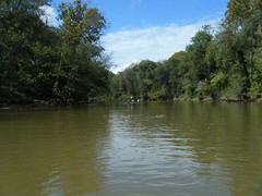
The water was brown with silt. Part of that was from the added rainfall, and part of it is just the natural state of this river.
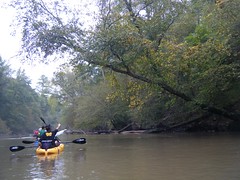
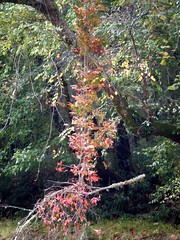
The word “Enoree” means “River of Muscadines”, and we saw ample evidence. In some cases the muscadines were starting to change color. A few lingering grapes could be found on some of the vines, so we were all able to sample just a bit.
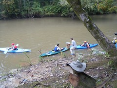
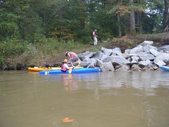
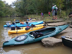
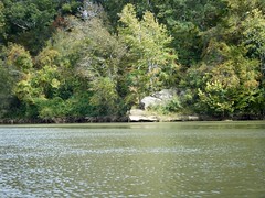
The mist turned into a light rain, then disappeared altogether. We settled into a comfortable rhythm. Soon we reached reached an area my GPS had labeled as “Henderson’s Ferry.” At a bend in the river there was a low sandbar on river left, and a flat rocky outcrop on the opposite side. We figured it would be a good place for a break.
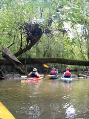
We continued on downstream. At one point we came to an island with a small channel leading off to the right. Our ADD paddlers had to explore, but were soon stymied by deadfalls. We found a route at the downstream end of the island and paddle back up. Here some of our group found the evidence of the old Henderson Mill that was once in this location, using the narrow channel as a type of mill raceway.
The weather improved steadily, and soon the sun had broken through. It was turning into a fantastic day weather-wise, despite the predictions.
John Ring and I pulled ahead of the pack. Away from the conversations of the others, we saw a little more wildlife – herons and kingfishers chief among them. So far we had seen no signs of habitation. This area was deep within Sumter National Forest. There were no houses along the path, and we seemed to be completely on our own.
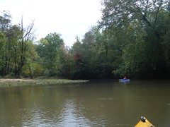
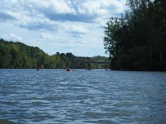
The river seemed to be getting a bit wider and deeper. We had to be getting to the confluence. John and I reached a very wide stretch. It was a little after 1:00, and we had reached the Broad River.
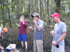
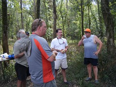
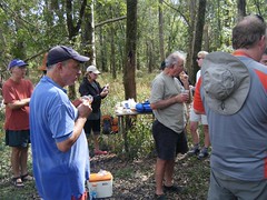
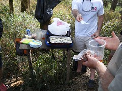
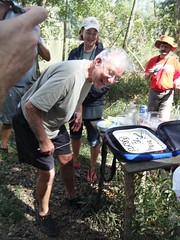
Ric had said that there was a good campground at the confluence, and we figure that would be a good spot for lunch. The bank we thought we would find turned out to be a mud bank. After slogging through and nearly losing a shoe, we found high ground, even with a table, and lunch commenced.
As it turns out, there was a surprise. Joe’s father, Archie, was visiting from Massachusetts, and today was his 70th birthday. Joe had managed to sneak a cheesecake and candles, so we celebrated Archie’s birthday at the confluence of the Broad and Enoree Rivers.
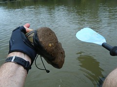
We slogged back through the mud and loaded back into the boats. My shoes were completely caked.
I tried tying them to the back of my kayak so that they would rinse in the river while I paddled. Unfortunately, the shoes had the affect of anchors, so I dropped far behind the rest of the paddling group.
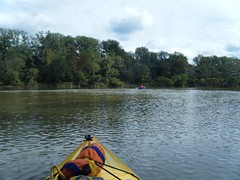
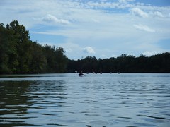
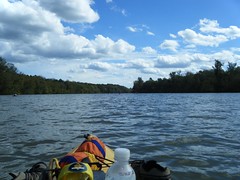
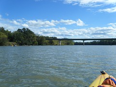
The Broad River at this point is very, very different from the Enoree. Living up to its name, it’s quite wide, and more like a lake than river. We were battling headwinds. To make matters worse, Parr Shoals was not generating power, so there was hardly any downstream current. Making forward progress was a chore.
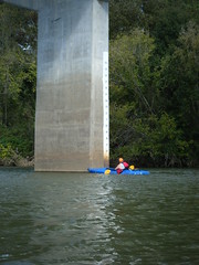
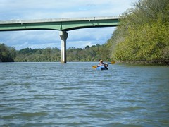
At the town of Blair we saw our first signs of habitation – a single house on the riverside. Even so, we found ourselves at the Highway 34 Bridge sooner than we thought. We didn’t have to endure too much of the strenuous paddling.
Tired but happy, and with the sun shining brightly, we loaded up the boats.
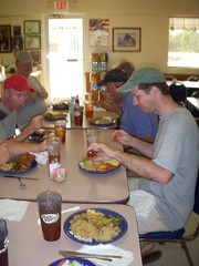
Several headed on back, but a few of us headed on down to Prosperity to Hawg Heaven where we ended the evening with a BBQ buffett.
So, despite the weather predictions, despite low water, and despite illness, we had a great time on the river. It was a good paddle, and a route, that I wouldn’t mind repeating sometime.


