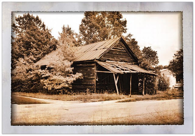
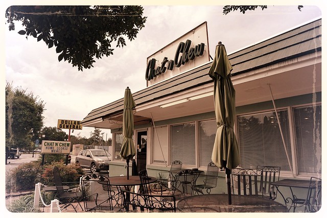
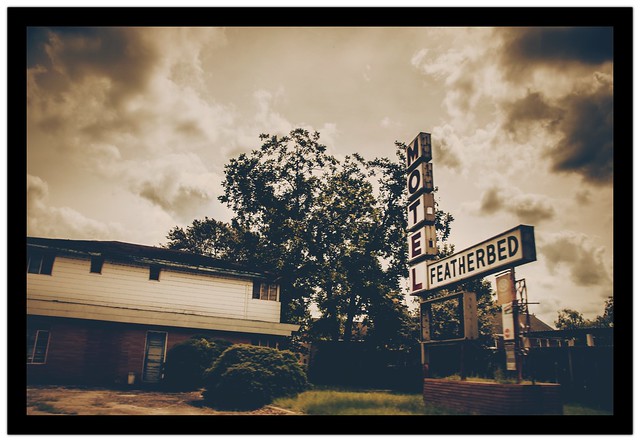
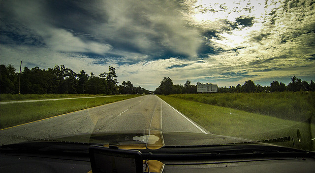
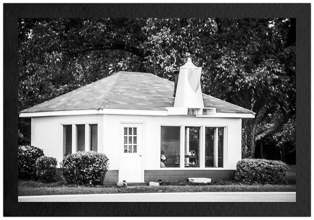
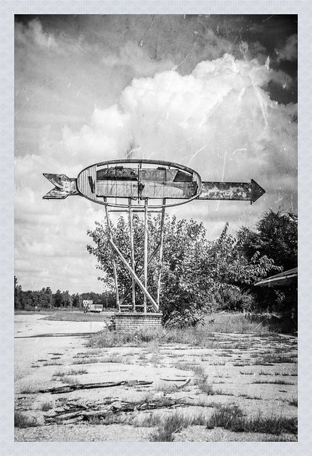
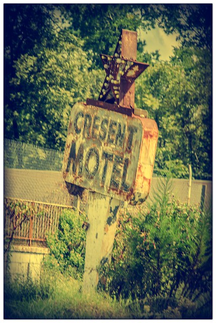
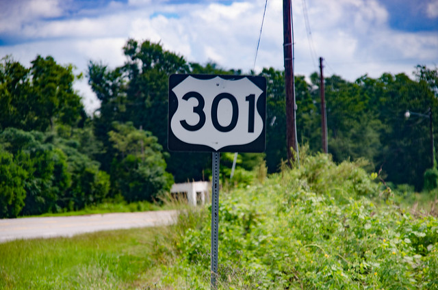
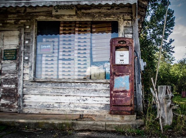
Even though I haven’t been able to finish my explorations of the Tobacco Trail, I haven’t been sitting idle. Once the rain stopped we had some spectacular weather, and I decided to get out and about. I hit a few spots in the upstate, so this is sort of a miscellany wrap-up of the week. This is part one of about a three-parter. This first part actually took place last week, before the deluge…
Category: Rambling
It had been a long day. I had gotten up early and driven down to Orangeburg, then followed the Tobacco Trail along US Highway 301 through Orangeburg and Clarendon Counties. I had crossed over into Florence County into the town of Olanta. I thought about pushing on to the town of Florence, but when I checked my GPS I saw that it was going to take several hours to get home as it was, so it was time to head back. Even so, I made a couple of stops and detours. These were interesting sights worthy of documentation, but I didn’t think they fit with the Tobacco Trail narrative.
I do my homework before I go out on these extended photo expeditions. I like to know what’s in an area so that I make sure I can get to my intended target. Sure, I miss things. There were lots of things I had to skip on this particular trek. Sometimes I find too much, and those extra places of interest become distractions from my intended target. Sometimes, though, things work out perfectly, as was the case with lunch at the Chat n’ Chew in Turbeville on this particular trek.
I had come to a roadblock on the Tobacco Trail, quite literally. The Highway 301 bridge across Lake Marion still exists, and still connects across the lake. However, in 1987 it was closed to automotive traffic, and now serves as a fishing bridge. If I were going to cross from Orangeburg into Clarendon County, I was going to have to do some backtracking.
For some reason the town of Santee intrigues me. It’s something of an anomaly compared to the other cities on the Tobacco Trail. There is no main street or central business district. Those features make me think that the town as, say, Orangeburg, Allendale or Bamberg. I decided to find out more about it. In the process of that research I discovered a new ghost town.
I was out exploring the Tobacco Trail through South Carolina. So far I had started at the SC-GA border on the Savannah River and had crossed Allendale, Bamberg, and a good portion of Orangeburg Counties. Orangeburg is a large county, and is bordered by Lake Marion on the east. I was ready to check out the rest of the county, and see how far I could go on this day’s exploration.
Read More “The Tobacco Trail through Orangeburg County, Part 2” »
So far I had traveled across two South Carolina counties on The Tobacco Trail, aka US Highway 301. I still had a long way to go, though. I was able to get through about a third of Orangeburg when we had a death in the family. Yesterday I was able to go knock out another huge chunk of the highway.
Read More “The Tobacco Trail through Orangeburg County, Part One” »
I’d made it through Allendale County, my GPS beeping every time I reached the location of an old tourist spot that I had marked. I was following the Tobacco Trail through South Carolina on Highway 301. Now I had just crossed the Salkehatchie River into Bamberg County.
I was out exploring Highway 301, the Tobacco Trail. I had driven down early in the morning, trying to resist distractions along the way. Once I finally reached my starting point I visited two old welcome centers, one still in operation, and one finding new life. Now it was time to continue eastward. However, my day was running out, and the trip was much quicker than I would have liked.
It was time to explore Highway 301. I had done the preliminary research and discovered the importance of The Tobacco Trail as a major route through South Carolina. I was ready to get out and actually take photos of some of these locations. However, I still had a bit of research to do.
The first thing I did was begin collecting old postcards and images from eBay and other sources. This would give me a comparison of what had been with what I would find. The next step was to mark potential locations in Google Earth. I traced the route of 301 through the state, marking motel and other locations as I spotted them. I also added any National Register or other interesting sites I found along the way. These were then uploaded to my GPS so I’d have them for ready reference.


