I had been tracking down the history of the Swamp Rabbit Railroad that ran from Blacksburg to Gaffney by way of Cherokee Falls. So far I’d discovered the history of the railroad and its relatively short commercial life, and I had discovered how the railroad briefly found new life as a scenic railroad in the 1970s. It was time to get out into the field and do some ground-truthing. I wanted to see if there were any remnants of the old line.
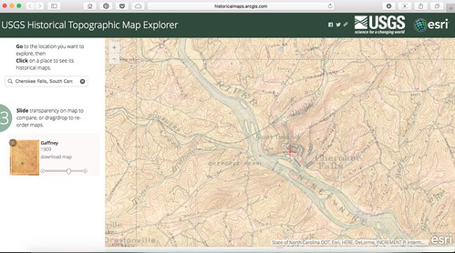
The first thing I needed was a list of possible railroad crossings and places where I might be able to spot the tracks. I opened up the USGS Historical Topographical Map Viewer and used the 1909 Gaffney Quad as my starting point.
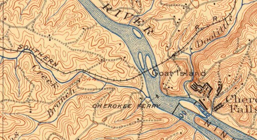
At first I had downloaded the quad from the digital collection at USC and tried to overlay it in Google Earth, but I just couldn’t get it aligned correctly. Using the USGS website I was able to fade between the 1909 map and a modern map. That way I COULD mark points of interest in Google Earth.
Once I had my POIs, I could transfer them to my GPS. I also made sure these were accessible in my Google Maps app on my iPad. My last Swamp Rabbit excursion had reinforced the importance of maps as well as GPS points.
Wednesday of this past week I headed out early. The trip from Greenville to Blacksburg was a nightmare, taking much, much longer than it should. The construction, multiple accidents, and resulting traffic jams just reinforced my delight that I no longer have to drive I-85 on a regular basis. Eventually, though, I did make it to Blacksburg, much later than I had hoped.
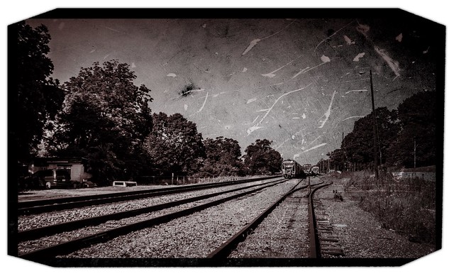
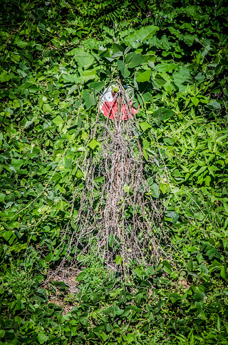
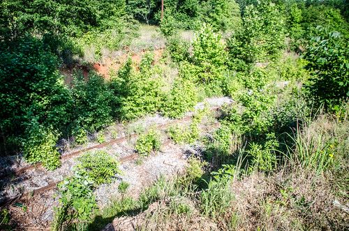
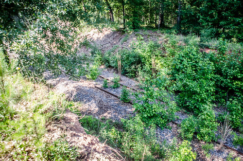
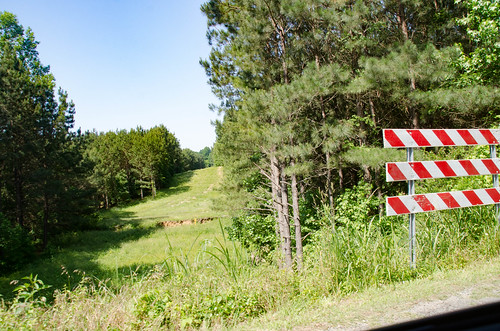
I entered the town from the east on US 29. A bridge crosses an old right of way just at the entrance to town. This was definitely part of the old railroad. There were tracks visible, but the most poignant reminded was an old red and white siding switch sticking out of the kudzu.
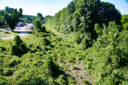
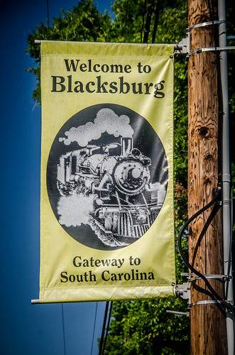
Banners along US 29 highlight Blacksburg’s importance as an early railroad hub. I wondered which steam engine was being featured in the image.
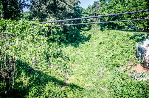
At this point the main east-west Southern Railroad crosses the north-south line. Google Earth indicates that the abandoned line runs under the current one still in use. However, I wasn’t able to get to that underpass. According to the map there were sidings that connected the Swamp Rabbit to the Southern line near present-day Academy Street.
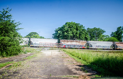
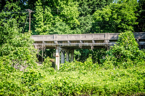
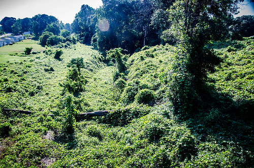
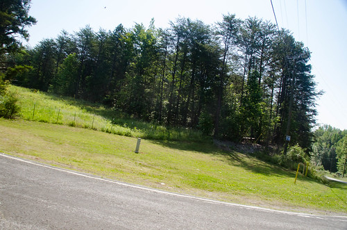
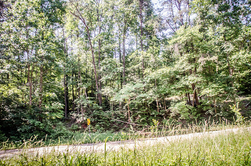
The abandoned rail continues northward out of the city. I checked out one more overpass on Mountain Street, and found a right of way covered in kudzu. The line continues northward, crossing I-85 on an extant bridge, then continuing up to Shelby, North Carolina. There were other overpasses I could have gotten to, but I wanted to concentrate on the Swamp Rabbit route.
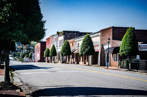
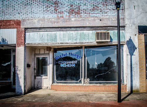
I drove back through town. The downtown area looks like it has potential, but, sadly, like so many other small towns there are very few businesses able to survive.
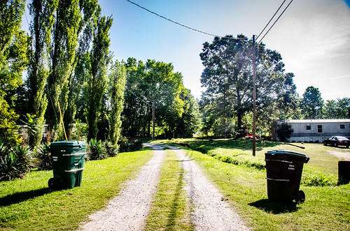
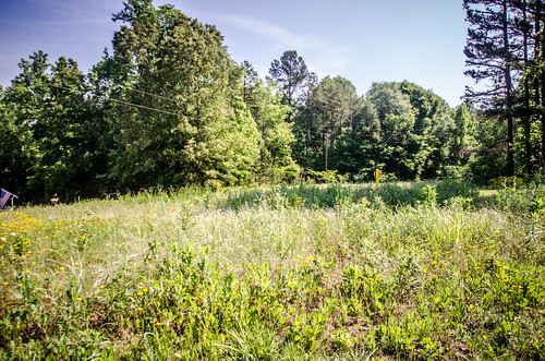
According to newspaper articles, the scenic railroad’s “station” was on Lime Street. I don’t know if there was an actual depot, or just a small building. Tim Linder’s account of his trip states that they boarded “in the middle of nowhere from a gravel parking lot.” Regardless, I had to check it out. Lime Street ends just before the railroad right-of-way. There were a few residences, mostly mobile homes, lining the old track, but nothing that looked like it might have been a depot. There was a ball field and a mechanic’s shop just a bit further down the track, off of Lime Street.
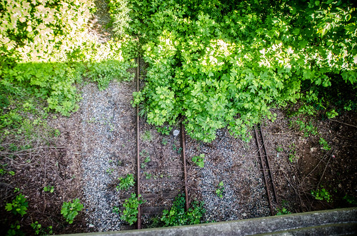
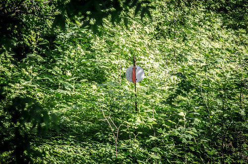
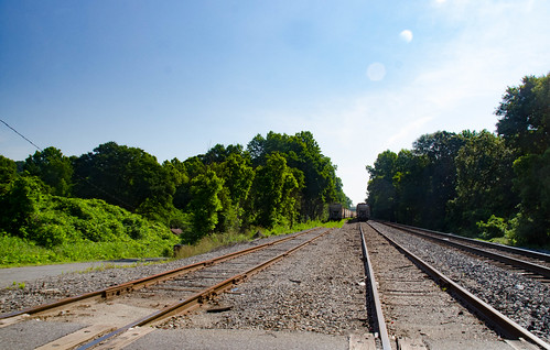
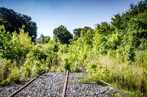
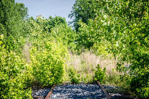
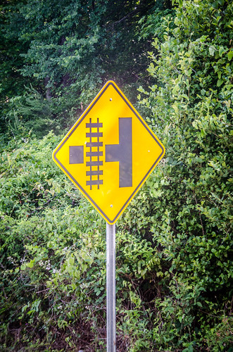
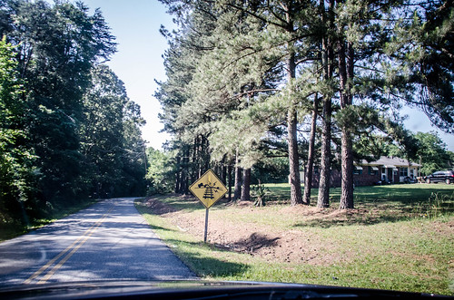
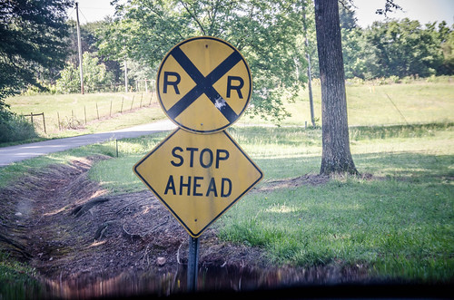
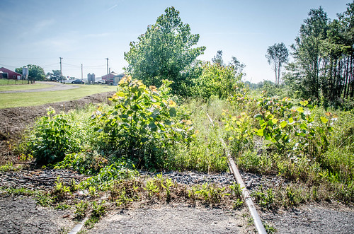
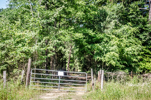
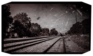
My next POI was the Brugg Street Crossing. While overgrown, this crossing clearly had rails and gravel bedding still in place. The signage for a railroad crossing was still there, as well.
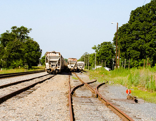
Just below Brugg Street is a Y junction. The Swamp Rabbit peals off to the west, while another track continues to the south. The southerly route still had rails in place, but the Swamp Rabbit now had power lines. When planning the trip I’d made a mental note so I wouldn’t get distracted by the rails. Unfortunately, that’s exactly what happened. I got sidetracked, so to speak.
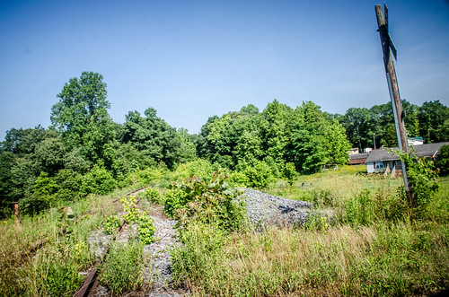
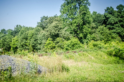
There was more signage, and more views of the rails. It looked like this stretch of the railroad hadn’t been abandoned very long.
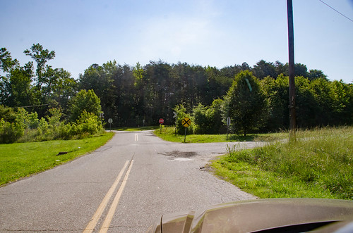
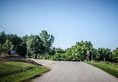
I came to a crossing with a stop sign. A small road ran beside the track, so I decided to check it out. There were clear views of the rails all along this line, until the road ended in a dead end.
I retraced my route, and paused to take a couple more photos. A large pickup truck pulled up next to me and rolled down the window, as if to ask if I were lost, or what I might be doing there. Preemptively, I asked if he knew anything about the old railroad, as I was writing an article about it.
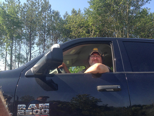
Turns out I had hit the jackpot. David Rumfeld works for CSX, and was a wealth of information. He was quite friendly, and more than willing to share information. David described this line as once continuing on down to Kingville. He said that south of here on the line was the largest wooden trestle in the southeast. As he talked, though, I realized I was completely on the wrong line. As much as I would have liked to check out that trestle, I needed to get back on track. (Again, so to speak. It’s amazing how many of our direction metaphors deal with railroads.) Even though it was the wrong line, I still took some photos.
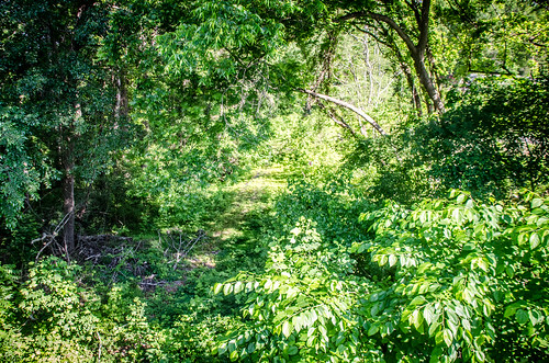
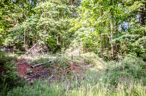
The next several miles involved lots of zigzagging and lots of disappointment. I didn’t see anything railroad-related. There might have been a hint of right-of-way, but there were also power lines and gas lines In some places these utilities ran concurrently with the old railroad, and in some places, it didn’t. That caused even more confusion about the route.
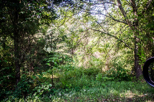
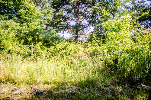
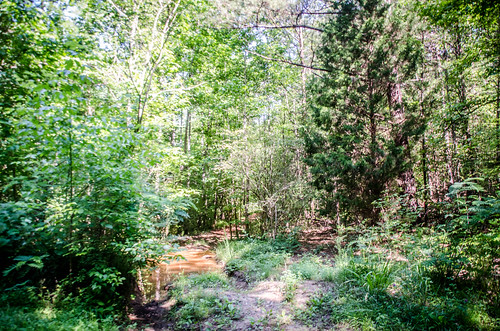
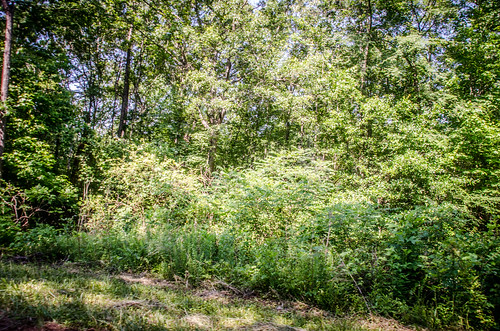
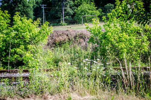
I knew that the railroad crisscrossed Doolittle Creek many times, with many trestles along the route. There were no remains visible from the road. In some of the places where I had crossings marked, the topography had steep hills that would be difficult for a small steam engine. The train had to have been routed a different way. I just wasn’t seeing it. In some places, though, a dirt road looked like it might have run along the old ROW. This seemed likely, to me, as it would have been the path of least resistance for travel.
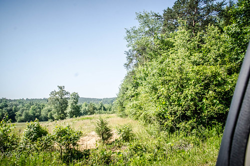
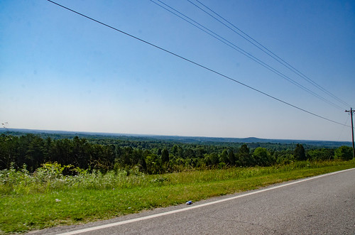
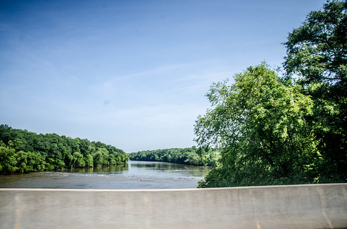
As I cut across the country the scenery was impressive. I crested several ridges with sweeping views of the area.
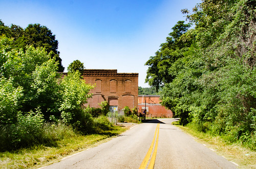
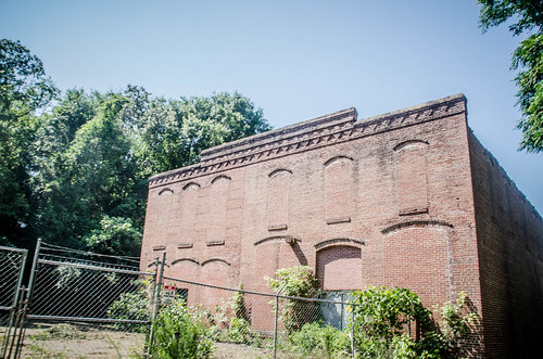
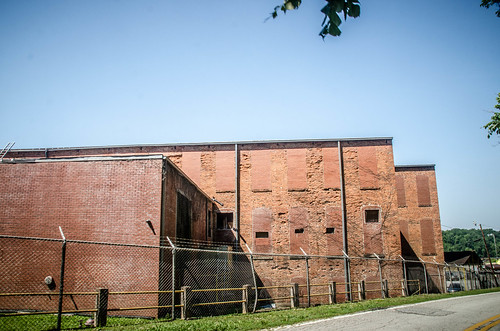
Soon I was entering the community of Cherokee Falls. The old textile mill has been replaced by a fireworks manufacturer.
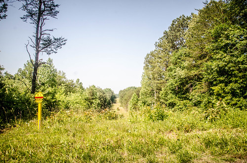
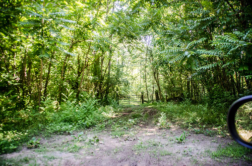
I knew that the railroad station had been just north of the town, so I headed in that direction. Again, there were no rails or other signs, but a dirt road headed back east along the possible route. The bank rose steeply on the other side, and it was hard to imagine how the train might have continued.
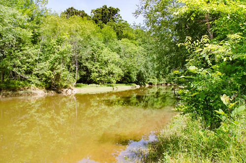
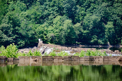
I was hoping to see the old bridge supports for the Goat Island Trestle. I turned onto River Road, a dirt road that approached the river. Sadly, No Trespassing signs also lined the road.
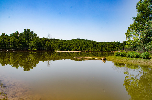
I made my way back to Cherokee Falls and pulled into an area that looked like it had a boat ramp. I’m not sure if it was really a public space, but I could launch a kayak from here, if I wanted to explore the river. The dam was just a few yards downstream, so it would be a tricky launch. I could see the tip of Goat Island and where Doolittle Creek entered, but there was no sign of the trestle.
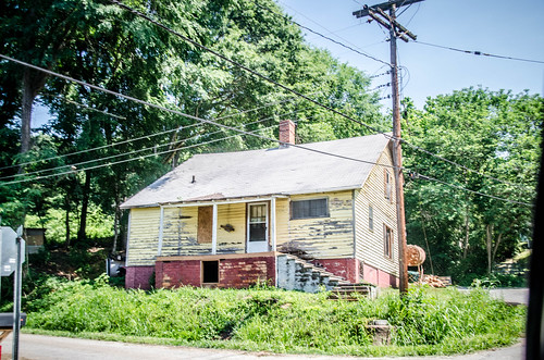
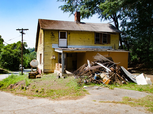
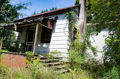
I turned my attention to the town. To call Cherokee Falls a “town” is quite a stretch. There are no stores or retail commerce, as far as I could tell. Carolana.com indicates the presence of a post office, but I didn’t see it. There were a couple of churches, and it looked like life would have revolved around the mill, as it did in most of these villages.
The mill village houses were on narrow single-lane streets winding up the side of the hill. Some were in good repair, and some were abandoned and falling down.
The day had started with promise, finding old rails in Blacksburg, and so far it had gone downhill, both literally and in terms of finding tangible evidence of the Swamp Rabbit Railroad. I had completed the route once run by the B&CF Scenic Railroad. Now it was time to cross the river and see what else I could find.
I’m gonna have to look for that trestle on Google Earth. Saw the piers for the Broad River crossing on Google Earth, but didn’t see anything from it of the SW CC. Fascinating story.
This is a great series. And you always manage to meet a David Rumfield.
Looked at the Google Maps view of the Blacksburg area. Rather interesting railroad layout. Saw where that trestle was … wonder why that line was built out there. Iron mining? The due north line ran to Shelby and is apparently still open. Saw where the due south line went under the E/W RR, but did not see where the Swamp Rabbit pulled off. Interesting history on that area. Didn’t know about the iron mining boom.
The north-south kudzu covered rail line you found serviced Industrial Minerals in Kings Creek, SC until 2014. In 2014, a trestle over Kings Creek failed an inspection forcing service to stop.
You did find the old post office. Just didn’t know it was abandoned Also. There are old trustles on the river rd near the bridge on 29. Not sure if that’s what your looking for. You can see them now because of logging recently. And there is an old piece of rail in what we call the depot curve that loggers pulled up recently.
The rails you saw in Blacksburg was part of the Southern Railway SB line. It ran from Marion NC to Rockhill SC. The piece that is left is 11 mile stretch from Blacksburg to Kings Creek. It was for servicing the Industrial Minerals plant in Kings Creek. It was still running 10 or 15 years ago. On another note. In the 80’s there was trackage from the Southern mainline in Gaffney down to McKowens Mountain nuclear power plant. That is just across the river from Cherokee Falls. I dont know if it was built for the power station or if it was there before then. They never did finish and eventually abandoned the power plant. They filmed the movie The Abbiss in part of the containment building.