When folks in this area hear the phrase “Swamp Rabbit Railroad”, they probably think of the Swamp Rabbit Trail, which has garnered so many accolades. Use of the name has been growing as the moniker “Swamp Rabbit” has been taken by many new businesses, usually those located along the trail on the old railway. The trail has gotten so popular that even the local pro hockey team changed their name from Road Warriors to the Greenville Swamp Rabbits.
As most Greenvillians know, the trail was named for the former Greenville and Northern Railroad, nicknamed the Swamp Rabbit because its route took it through the wetlands of the upper Reedy River. However, the lowly sylvilagus aquaticus lent its name to not one, but two railroads in South Carolina. The former Blackville, Alston, and Newberry line was also known as the Swamp Rabbit, and ran through the wetlands of the North Edisto River from Blackville in Barnwell County to the ghost town of Seivern in Lexington County. The first Sunday in May I set out to see what I could find of this other Swamp Rabbit Railroad.
I first became aware of the “other” Swamp Rabbit while browsing the Abandoned Rails website. Their entry for this former railroad describes the original purpose for the Blackville, Alson, and Newberry Railroad:
The Blackville, Alston, and Newberry road was originally intended to develop the open-pit kaolin clay mines in eastern Aiken County along the North Fork Edisto River. The railroad would allow the white clay, said to be of superior quality for porcelain and papermaking, to be connected at Blackville to the Charleston-Augusta line of the South Carolina and Georgia Railroad (SC&G), by which it could be marketed to the world through Charleston.
Construction started in Blackville about 1886, where it connected to the SC&G, and proceeded to the kaolin mines. The towns of Springfield and Salley were founded between Perry and Blackville. The new towns of Perry and Wagener (named for the major investors) were created along this section of the line. The village of Sievern near the mines (a.k.a. Seivern or Selvern) was named for the old hometown of the Charleston Wageners: Sievern in Saxony, Germany. The railroad originally ended at a turntable in Sievern.
Post Civil War railroad development was a patchwork affair. Different lines connected with each other, often with competing interests. As I did the initial research for my trip, this often got quite confusing. Railroad company names changed as different segments were purchased by larger groups. A single line might have multiple names, depending on which segment you were traveling. The section known as the Swamp Rabbit was owned by the Blackville, Alson & Newberry, the Sievern & Knoxville, Greenwood, Anderson & Western Railroad, Carolina Midland Railway, and ultimately by the Southern Railway. The line from Blackville extended south to along the Charleston-Hamburg, and ran north from Sievern to Batesburg, with a branch that ran across Lexington County to Pelion and ultimately to Columbia.
A historical marker in the town of Wagener gives a bit more information about the railroad:
Wagener, established after the Blackville, Alston, & Newberry RR built its line from Blackville to Seivern in 1887-88, was originally known as Guntersville or Gunter´s Crossroads. When incorporated in 1888 it was renamed for George A. Wagener (1846-1908), a Charleston merchant and president of the B. A. & N. RR. In 1891 the B. A. & N. merged with the Barnwell Railway to form Carolina Midland Railway, which would be absorbed by the Southern Railway in 1900.
(Reverse text)
George A. Wagener was also president of the Standard Kaolin Company, shipping kaolin clay on the B. A. & N. from mines in Aiken Co. to railroads connected to Charleston and its markets. From 1898 to 1933 a freight and passenger train known as “The Swamp Rabbit” ran from Perry to Batesburg, at first on the Carolina Midland and the Sievern & Knoxville lines but for many years on the Southern Railway. It linked Wagener to several Aiken County and Lexington County towns.
The historical marker indicates that the train ran until 1933. The sources I’ve found online have been unable to identify the exact year, but sometime after that the railway was abandoned. This would have been at the height of the Great Depression.
My attempts to track down physical evidence of the Swamp Rabbit took place on a Sunday a couple of weeks ago. Mitch Bailey of Lexington had created an excellent Google Map with points of interest along the railroad. His map included all of the connecting railroads, and not just the Swamp Rabbit. He had posted it as a comment on the Abandoned Rails site.
I downloaded the data points, then transferred them to my GPS. This map would form the basis of my explorations.
Laura was headed to Florida to visit her family. Since she was leaving early, I followed her out the driveway on my own quest. I drove to Columbia then took Highways 321 and 3 straight down to Blackville. With recent paddling trips and photo excursions, it seems I’d traveled this route quite a bit in the past year.
Blackville
At Blackville my first stop was the Blackville Railroad Station. When Alan and I did our Barnwell County trek a couple of months ago we hadn’t stopped at the station since it had been moved from it’s original location. This time I made a point to stop, as the beginning of my exploration.
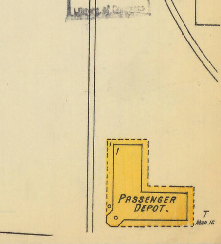
The old depot now serves as the Blackville Library. It sits on the grounds of a former school that houses other community services just north of the town center on Highway 3. According to the Bailey map its original location was on the west end of Main Street. This was actually a Y Junction where the Swamp Rabbit connected to the Charleston-Hamburg Line. According to a 1904 Sanborn map the L-shaped building sat with one wing parallel to Main Street and the railroad.
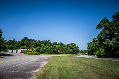
Here’s what the site looks like now.
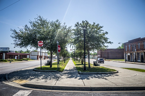
As with many of these railroad towns, there is a set of parallel streets running on either side of the tracks. Finding traces of the old railroad isn’t a problem here. A walkway runs through the middle of town following the old track.
Of course, no visit to Blackville would be complete without taking a few photos of the old Shamrock Hotel. The hotel was completed in 1912, so it would have been in operation when the railroad was running.
Seeing that the railroad continued, I decided to explore a bit more.
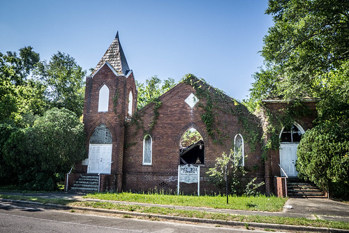
Just east of town I came across the burned remains of Tabernacle Baptist Church. I didn’t have any other information on the church, but it may be something to look up later.
On the other side of town I follow the second branch of the Y junction. This would have been the part that followed the Charleston-Hamburg line.
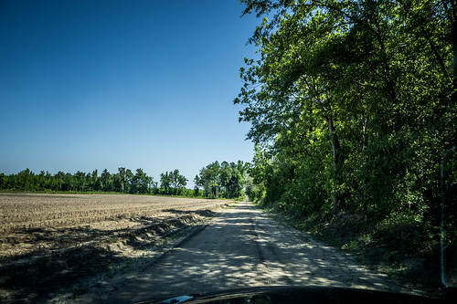
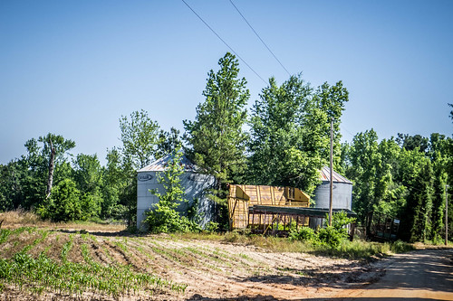
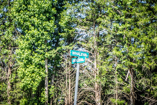
The next couple of stops on the map were little country “request stops,” Walker and Whaley. Following my GPS I drove back up Highway 3 to the Healing Springs Community, but turned in the opposite direction. I came to an intersection with Ebenezer Road, appealing to me for two reasons – the name, and the fact that it was a dirt road, the first of many I’d explore this day. Ebenezer Road ran through farmland with corn on the left, and the railroad right of way on the right.
For part of the route a berm separated the right-of-way from the road. On top of the berm were old railroad ties, further evidence that I was on the right track, so to speak.
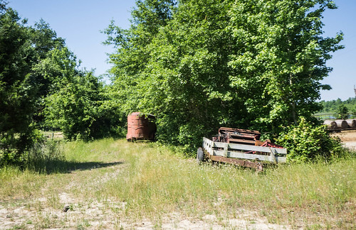
Both Walker and Whaley turned out to be little more than crossroads. If there was anything more here, I’ve not found any evidence, but I haven’t done as thorough a search as I have for some of the larger communities.
Blackville had developed as a stop-over on the original Charlston-Hamburg Line. It was as far as the early trains could go in a single day. Blackville was established as a town before the Swamp Rabbit was completed, hence the name “Blackville, Alston & Newberry” for the original railroad. Springfield, on the other hand, owed its existence to the Swamp Rabbit. It had been established as a direct result of the development on the railroad. That would be my next stop.
Springfield
I had driven through here once before, and my exact quote was as follows:
Springfield was an interesting little town along a railroad. There were several interesting old pictures, but I didn’t pause for photos. The same mantra kept running through my mind – “I’ve got to get back down here and spend more time.”
Well, this was that time. Turns out Springfield is an interesting little town, ad I spent a good bit of time there.
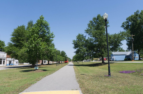
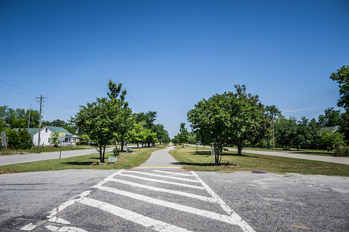
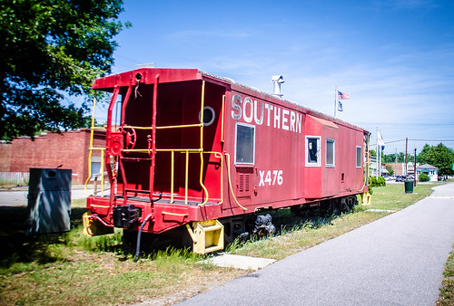
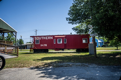
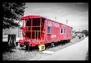
As with Blackville, the railroad was quite evident, actually, even more so. There was a walking trail along the old right-of-way, and an old Southern Railroad caboose. Next to the caboose was a more modern bandstand/pavilion, reminiscent of an old depot platform. Signage along the path described the history of the town and the railroad.
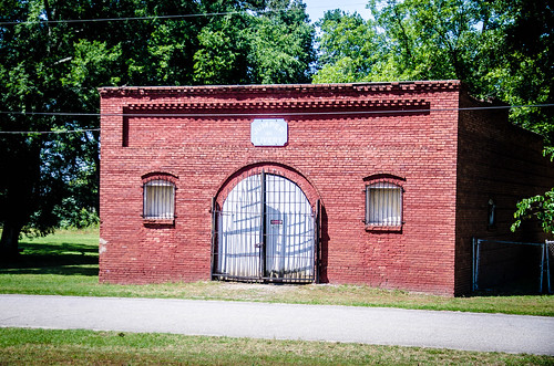
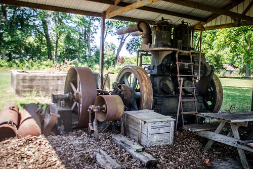
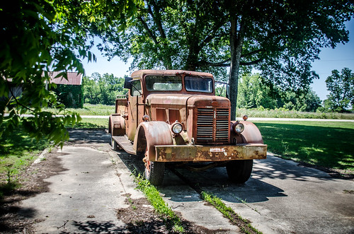
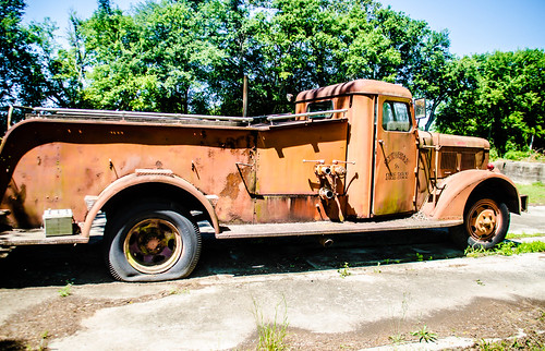
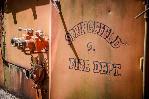
I parked my car and walked along the path a bit. Along the way I spotted the old Springfield Livery building, and a park area with the engine from an old cotton gin, and an old fire engine.
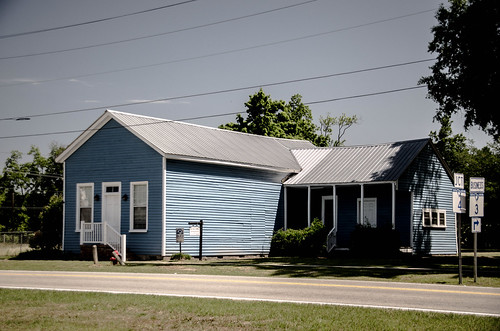
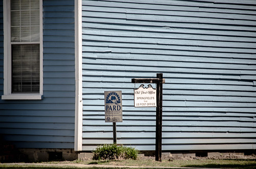
On the other side of the railroad/walking trail was a bright blue building. This had once been the town’s post office, but was now a library/museum. This early on a Sunday it wasn’t open.
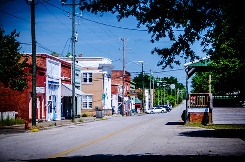
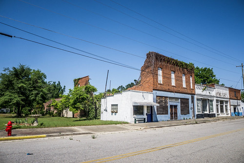
Most of the business district was on the west side of the main street. The first block contained the ruins of one building, and several other empty ones, but with potential.
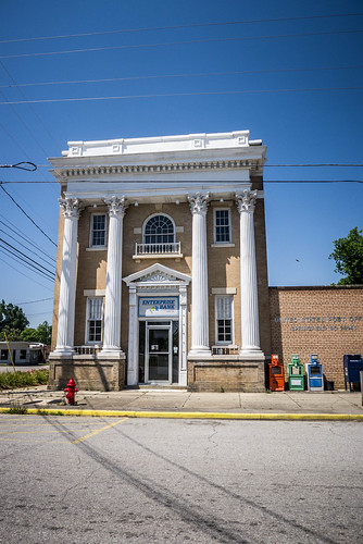
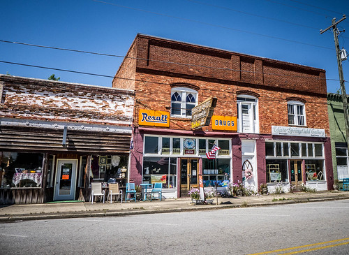
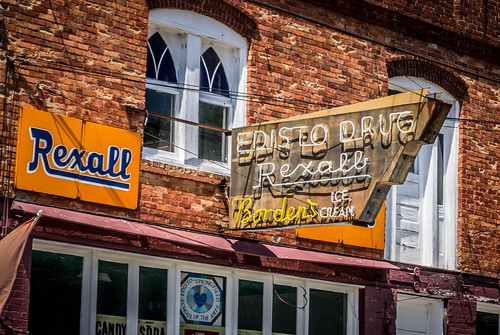
The second block looked like it had more active businesses, mostly antiques and art. Again, it being a Sunday morning, it was hard to tell which were still open, and which were just used for storage. There was a two-story classic bank building with imposing columns which looked like it was still in use as a bank, and the old Edisto Drug, which still had its original Rexall signs.
At this end of the block there was also the Mid-Towne Cafe, which was hopping. This particular Sunday also happened to be Mother’s Day. In truth, I’d been feeling my own mother’s absence rather keenly, and had been avoiding the holiday. It was also a reminder that lunch might be problematic if it were to be anything other than fast food.
There were some other interesting buildings in town. Next to the track was a small railroad utility building. On the other side was another bank building, this one mostly unoccupied.
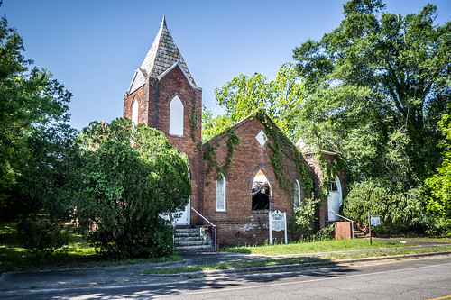
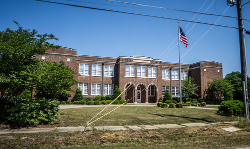
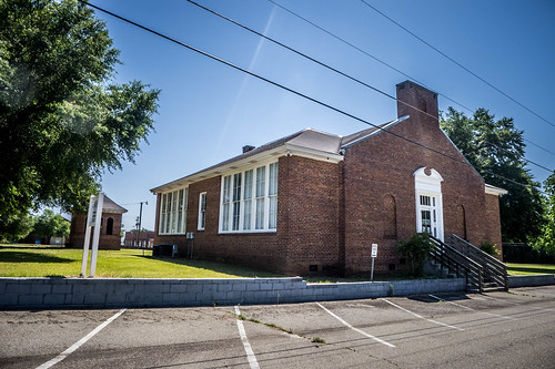
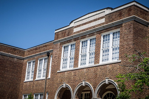
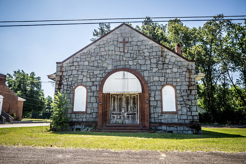
Driving through the town I found that the old Springfield High School is now in use as community center and services. The large classic building appeared to be in excellent shape, and I was happy that they hadn’t just torn it down, but had found a way to preserve it. The school is on the National Register of Historic Places for South Carolina. Next to that was an interesting old stone church that didn’t appear to be in use. It looked like it was made from Winnsboro Blue Granite.
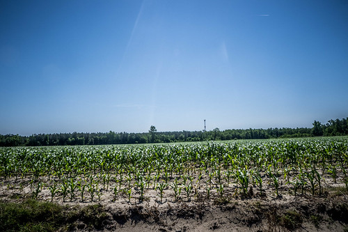
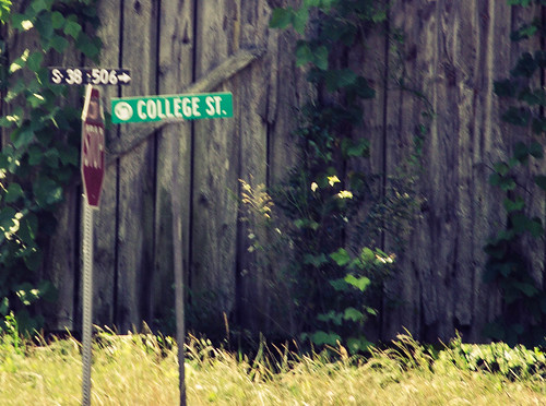
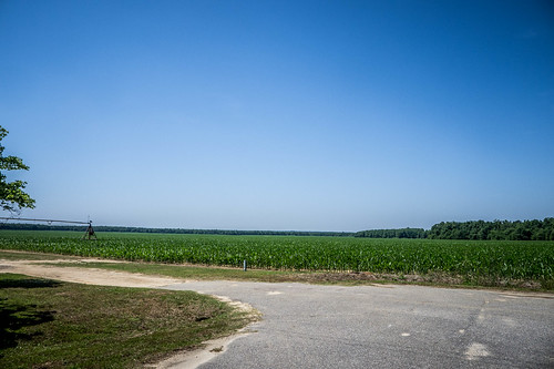
Speaking of schools, one street name next to the livery park caught my eye. College Street required investigation. There didn’t appear to be anything academic-related on this short street, but it did bring one realization – this town sits smack in the middle of farmland. Just two short blocks off of the main business district were acres of cultivated corn.
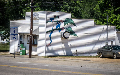
Each year since 1928 Springfield has held the “Governor’s Frog Jump Festival” in early April. Around the town were symbols of the festival.
Apart from the aforementioned caboose and utility building, I didn’t find a depot for the town. The SC Depots website has a 1996 photo for Springfield, but it wasn’t near the railroad. Either it has been moved, or is no longer extant.
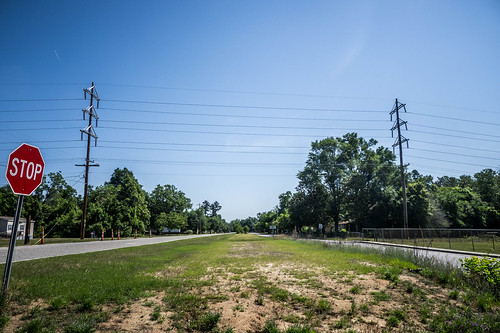
In all, I had a very positive impression of the town. While it didn’t look like there were lots of stores and businesses, it did look like a town that cared about itself. I headed out of town along Highway 39, which closely followed the Swamp Rabbit right-of way. The morning was getting away from me, but there was more of the Swamp Rabbit to find. I still had lots more to see and do.
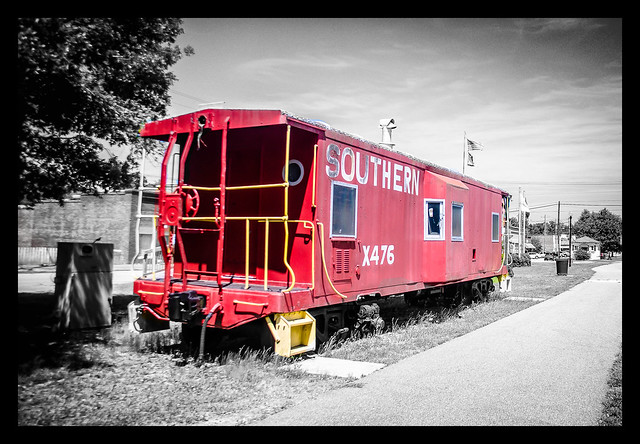
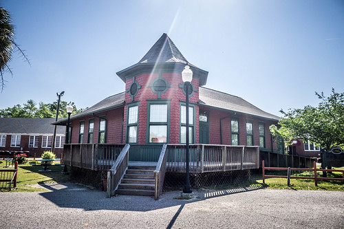
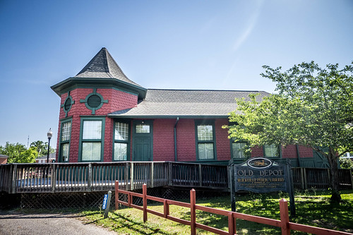
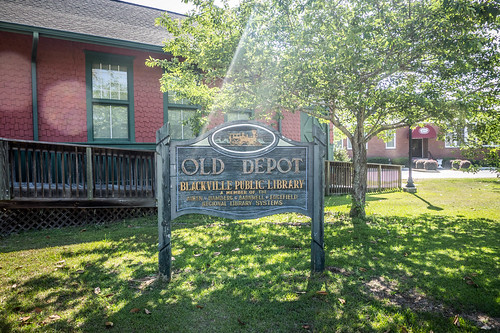
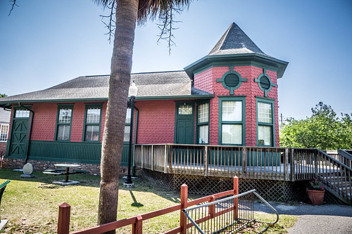
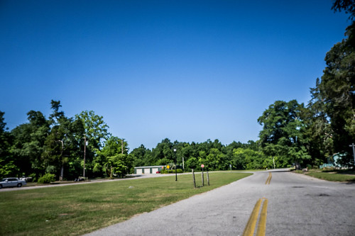
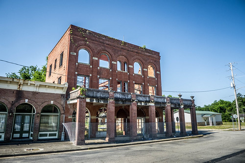
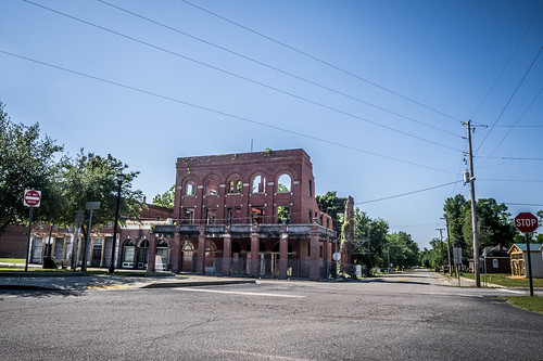

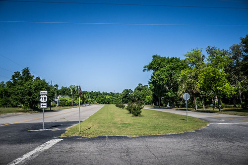
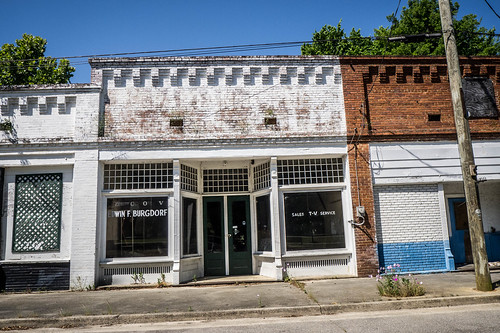
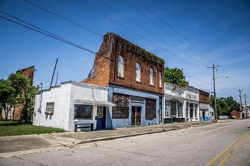
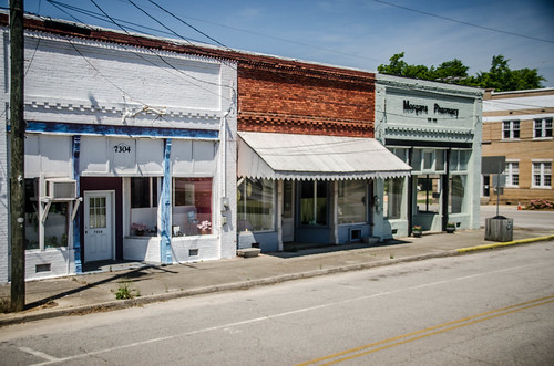
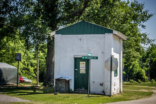
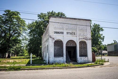

The Springfield Depot still exists. It has been relocated and is now 1 block west of the tracks, at the corner of Hwy 39 and Surrey Race Rd. It was in pretty bad condition when I saw it in July 2023.
Coordinates 33.495839, -81.280615.
Does anyone know of the original location of the Seivern turntable?