I had been tracking down the Swamp Rabbit Railroad, the third to bear that name in South Carolina. This one ran from Blacksburg to Gaffney through Cherokee Falls. Now I was out trying to find physical evidence of the old railroad. I had explored from Blacksburg to Cherokee Falls along a route that briefly ran as a scenic railroad in the 1970s. Now it was time to cross the Broad River and see what I could find on the section from Coopersville to Gaffney.
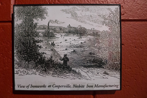
Coopersville is on my list of ghost towns. It was known for iron production during the Civil War, and featured several factories and stores at one time. When I’ve tried to find information on it, I’ve run into dead ends. The National Register of Historic Places nomination form is so redacted that it’s hard to piece anything together. It’s considered an active archeological site, so it’s also considered off-limits.
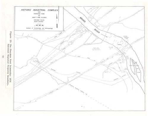
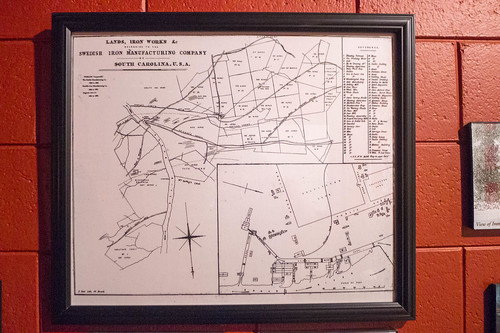
I had found one map that shows the locations of some of the buildings. This map also shows the old Swamp Rabbit Railroad, as it crosses the Broad River across Goat Island.
Even before the railroad this was an important transportation route. Cherokee Ford was not a mashup between a Jeep and an F150, but, rather, a crossing point on the river. Patriot soldiers crossed at this point on their way to King’s Mountain as part of the Overmountain Victory Trail.
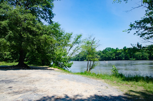
After crossing the Broad River from Cherokee Falls I headed down Highway 329. I checked out one potential crossing on 329, but that one looked like all the other disappointing stops on the other side of the river. I backtracked a bit, then turned onto Ford Road. A dirt road leads down to the river, with an OVT sign pointing in that direction. Last time I was here the road was gated. This time the gates were open, and there was a road grader idling on the side. I decided to explore anyway. The driver was right there, and could have told me to stop.
The road certainly needed grading, and I was glad I was in the Subaru. Down at the river there was the typical, unfortunate trash that comes from inconsiderate fisherman. From this point I was still too far upstream to catch a glimpse of the old bridge supports for the train.
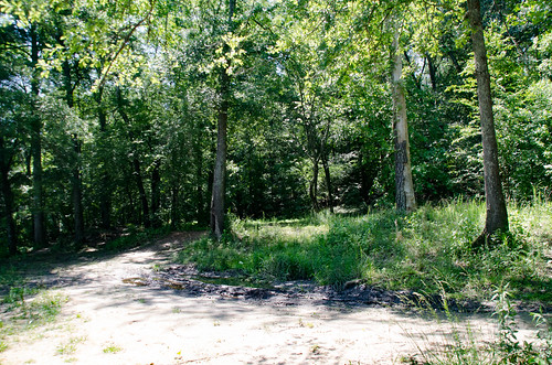
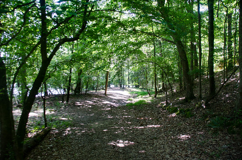
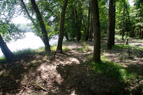
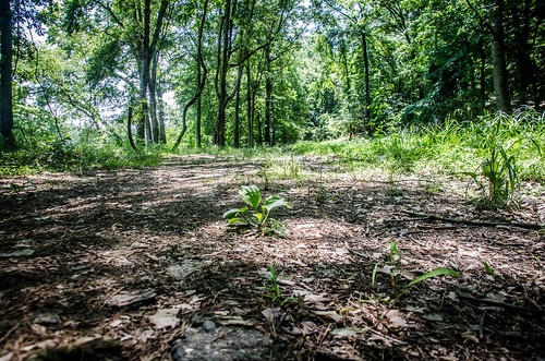
Last time I was there were also campers in the area, and we didn’t feel like exploring. This time I had the place to myself. I walked down a dirt road leading downstream. The path was wide, and looked like it could have been settled at some time.
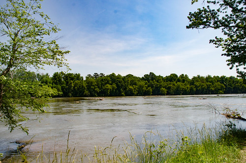
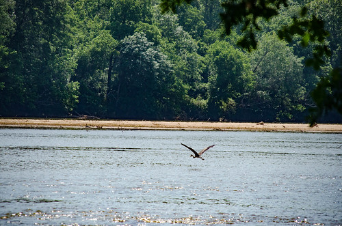
Eventually I came to a fence, and a clear indication I couldn’t/shouldn’t go any further without trespassing. What really stopped my downstream progress, though, was impenetrable undergrowth. From this point I still couldn’t see the bridge supports, but I did watch a heron make its way across the river.
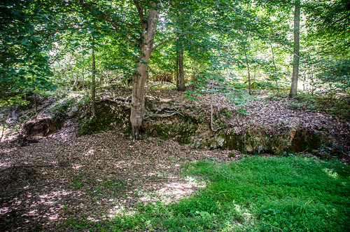
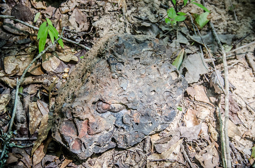
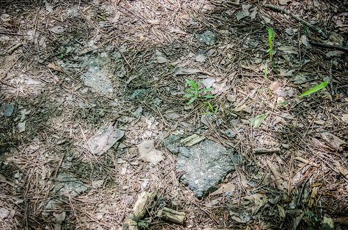
According to the archeology map, I was also still upstream from Cooperville, but not by much. If I had pushed through the underbrush about 200 more yards, I think I would have been on top of it. However, I made my way back. I started to notice other things, such as what appeared to be a wall, and clear signs of paving at one point or another.
J. V. Cannon’s plans had been to develop Coopersville into some sort of historic park. Cannon was an entrepreneur, and not a historian as far as I know. There’s no telling what this area would have been like had his plans come to fruition.
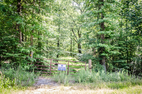
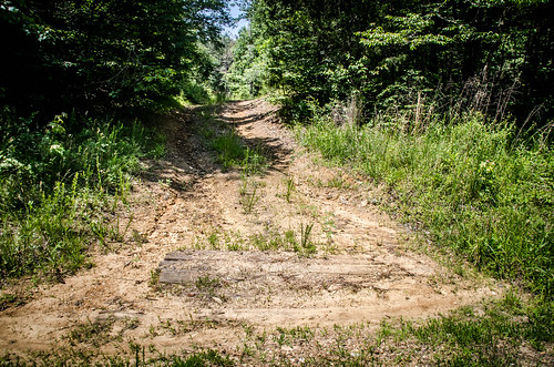
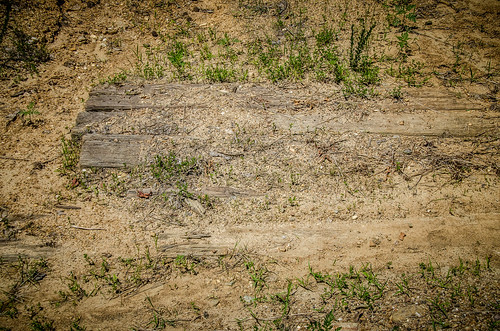
I returned to the car and continued south on Ford Road. I had a crossing marked in my GPS that aligned perfectly with the old bridge supports. There was a road to the left, back toward the river. It was gated with No Trespassing signs. To the right, away from the river, was another road. This one had railroad ties across it to prevent erosion. I seriously doubted that these would have been from the Swamp Rabbit.
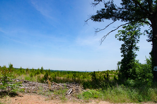
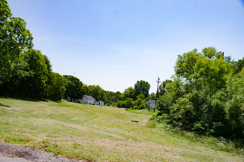
Continuing on my route, I was back to zig-zagging across the country to find road crossings. The next segment took me through the community of Draytonville, then back toward the river. At this point there was another gated road with a path that followed the old ROW. The road reached a dead end on a higher ridge, with views to the north.
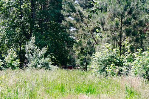
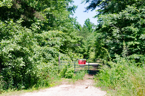
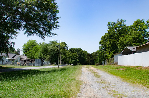
The next stop on Peoples Creek looked even more like a true right of way. Again, the road was gated. When I checked Google Earth afterwards it looked like a dirt road ran from my previous crossing to this point. On the other side of the road a paved drive continued down to an ice production plant. That drive also looked like it followed the ROW.
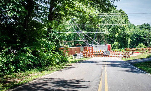
My next POI before reaching Gaffney was a bust. There was a bridge out right where I needed to be. I wasted a bit of time trying to find detours, none of which got me where I needed to be.
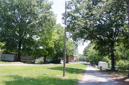
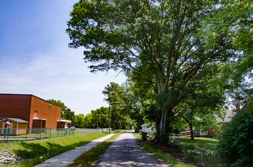
I made my way on in to town. According to the 1909 map, Mary Bramlett Alley ran on top of the Swamp Rabbit right of way. I drove down the street from west to east, as it would have been heading out of town. It certainly looked like it had been more than a simple alley.
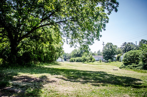
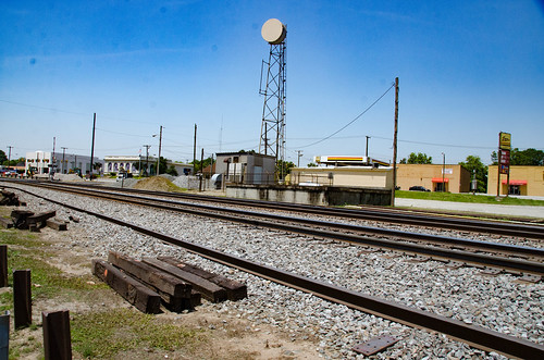
Next to Gaffney’s new city administrative offices is an open area. It looks like this might have been the final leg of the Swamp Rabbit as it connected with the main line.
It was interesting that I had found more tangible evidence on this stretch of the Swamp Rabbit than I had on the other side of the river. This stretch had been abandoned for far longer.
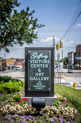
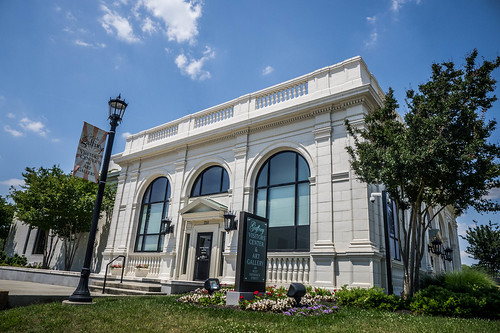
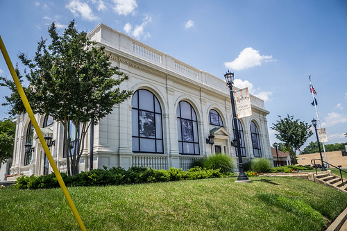
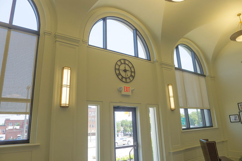
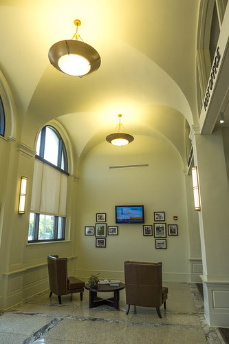
I grabbed a late lunch and drove through town a bit. On Granard Street is the old post office, which now serves as a visitor’s center and gallery. I decided to pop in for a bit.
I was greeted by LeighAnn Snuggs, director of marketing and tourism for the city. When I said I was searching for the Swamp Rabbit she first looked at me like I was crazy. When I explained further, she became intrigued. She had never heard of the old railroad, nor the scenic railroad from Blacksburg. She said that they were aware that Mary Bramlett Alley had been part of a railroad, but only thought it was a spur to the industries on the east side of town. She had no idea that the line once went further. Their intent was to create a walking path along that track, as so many other towns have down with their old rail right of ways.
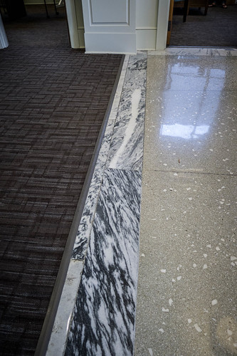
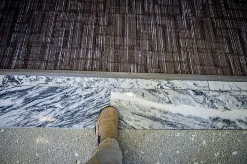
We chatted quite a bit about other things. LeighAnn was gracious enough to give me a tour of the old post office. Prior to becoming a visitor’s center it had been an auto parts store, and later a haunted house, so lots of reconditioning had to take place. The floors were of marble quarried from the limestone pits from which nearby Limestone College gets its name. LeighAnn pointed out indentations in the marble floor where people had stood in line before the post office windows.
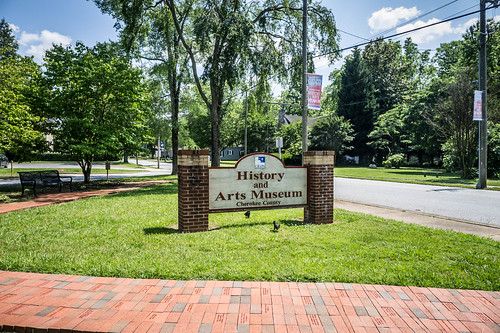
LeighAnn suggested that I visit the Cherokee County Museum. I had stopped by when Tommy Thompson and I had explored this area several years ago. At that time we were put off by both a $5 entry fee and a locked door.
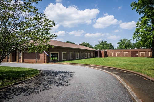
The museum is housed in the old Central Elementary School building. This time the museum was open.
I walked in and was greeted, then I presented my questions to the lady behind the desk. She called to a couple of offices, but could find no one to talk to me. I decided I would pay my $5 fee and check out the museum.
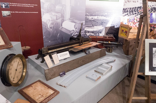
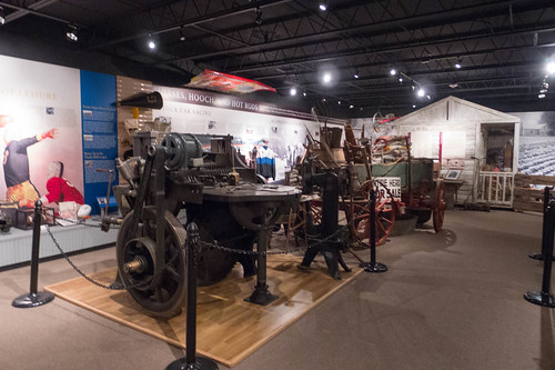
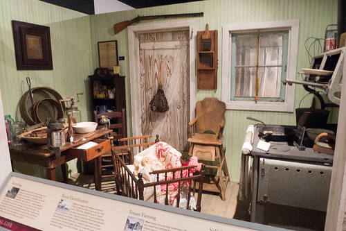
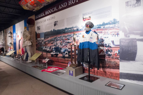
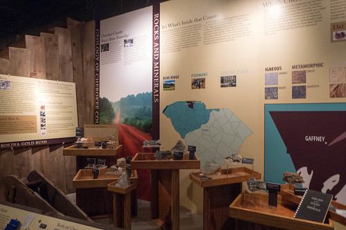
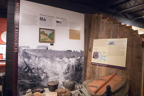
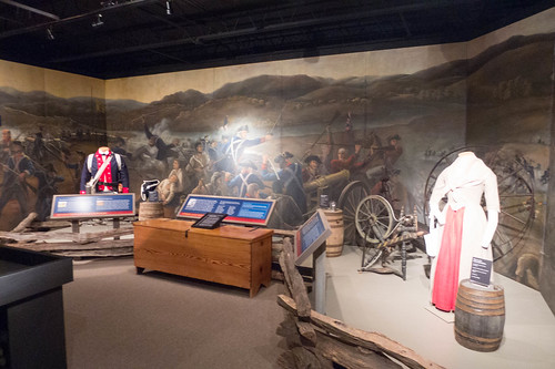
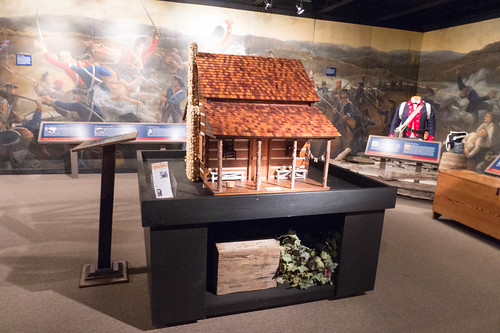
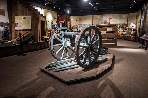
The displays were very well done, covering the different periods of the county’s history.
There was information about the limestone quarries and iron works, including a simplified copy of the map I had been using for reference.
Of course, there was information about the Overmountain Victory Trail and the battle of Kings Mountain.
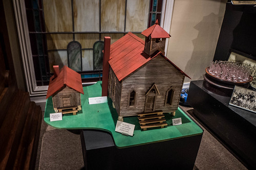
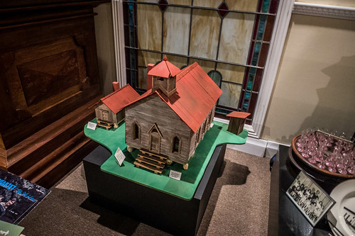
There was also a scale model of Mulberry Chapel, which Tommy Thompson and I had visited.
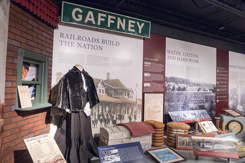
As for their information on the railroad, there were lots of artifacts, but the overall information had been simplified for the general public. It didn’t contain anywhere near the level of detail I needed.
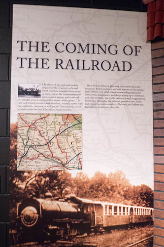
I was a bit amused, though. Their display about the “Coming of the Railroad” made no mention of the Swamp Rabbit Railroad. However, the steam engine pictured on the display was the old Porter #9 that had run along the B&CE Scenic Railroad with its open-air cars.
Even though I hadn’t found many relics of the old Swamp Rabbit Railroad, it still turned out to be a fascinating story, even more so than the second Swamp Rabbit from further down state. I think what makes this one so much more interesting is it’s connection with Greenville’s Swamp Rabbit and Echo Valley through J. V. Cannon.
I’m not done with this part of the world, though. At some point I want to launch a kayak and explore Goat Island and the old bridge supports. I’d love to try to explore Coopersville by water. I also want to check out some of the other rail highlights that David Rumfeld told me about, such as the huge trestle.
As I was typing this story fellow kayaker and long-time railroad engineer Tom Presnell sent me a photo of the Kings Creek trestle between Shelby and Blacksburg. He said that as an engineer he had been across that trestle several times. Because of weight restrictions they had to put an empty spacer car between engines. He also said it was scary!

I’ll be curious to see the one even further down the line.

If you could put in at Cherokee Falls, Goat Island, the supports, and Peoples Creek seem like a short but upstream paddle.