I’d been out and about, exploring a couple of historic mill locations. So far I’d spent most of my time at Glendale Shoals, but I was eager to see more. The rest of the day was spent exploring along the banks of the Pacolet river proper, through the mill villages of Converse, Clifton, and Pacolet.
I found myself heading north from Glendale Shoals, entering the community of Clifton. This town, like all of those along the Pacolet, was based on textile manufacturing. And, as with many southern mill villages, the mills are now long gone. I really didn’t take that many photos of the community, just one shot of the lower dam.
Clifton Mill #1 was demolished in 2004, and Clifton #2 came down in 2011.
Continuing north along the river I soon found myself in the community of Converse. I didn’t take many photos here, either, but not for lack of photographic material. I’d actually been through this area back last fall taking lots of photos for a post that’s still languishing in my “drafts” box. I’ll use some of those photos here, since they fit with the general theme.
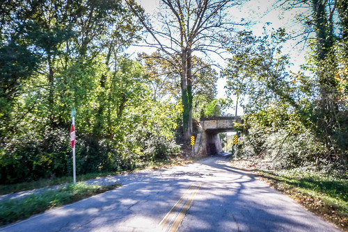
Converse is located along US 29, once known as the “National Highway”, aka “Bankhead Highway.” The post I’m still working on is about the highway itself. As such, though, it was much more accessible than Glendale, Clifton, Pacolet, or any of the other mill villages of the area.
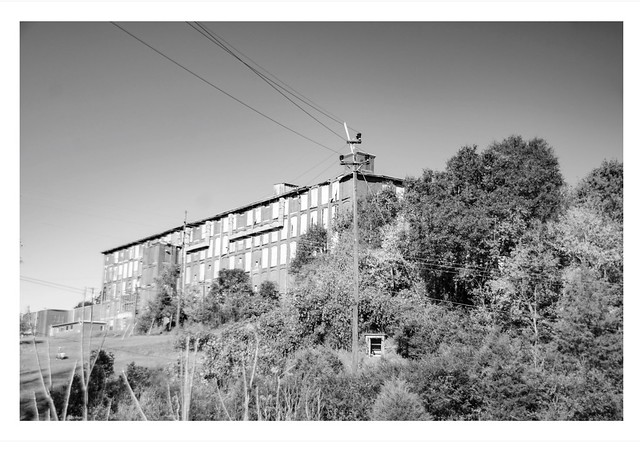
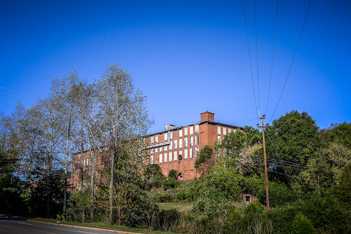
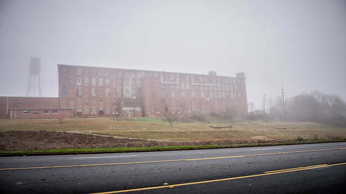
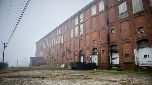
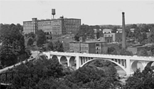
Converse is also unique in that of all the Pacolet River Textile Mills, this is the last one still standing. From what I could tell, it now serves as warehousing. As of August of this past year the mill was deemed eligible for inclusion on the National Register of Historic Places (PDF), although it has not officially been added to that list. The photos below are from a couple of visits:
The community is named for textile magnate Dexter Converse, president of the Clifton Manufacturing Company and later the D. E. Converse Company. However, originally the mill was known as Clifton #3. After Converse’s death in 1899 the mill was renamed.
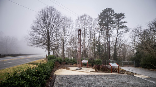
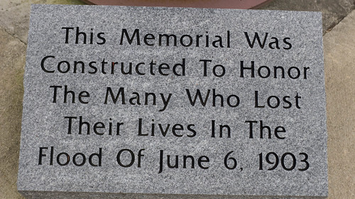
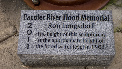
It’s impossible to discuss the Clifton-Converse textile mills without mentioning the great flood of June 6, 1903. Water rushed down the Pacolet River, killing over 70 people, wiping out homes, and destroying the mills along the river. A memorial to victims of the flood was dedicated in 2011 in a small park at the end of the bridge across the river from Converse Mill. The memorial by sculptor Ron Longsdorf symbolizes a mill’s smokestack, and stands at the same height reached by the flood waters, 22 feet above normal levels.
After the flood the mill was rebuilt quickly, within six months by the accounts I’ve read.
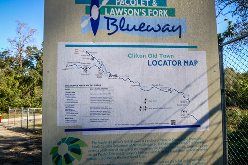
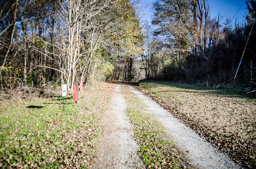
To me, Converse and Clifton tend to merge. Converse is concentrated around the mill, but the communities of the other Clifton mills seem more spread out along the river. Along the stretch between the two communities I found another access point and portage for the Spartanburg Blueway.
Somehow got turned around. I found myself on the Cherokee County side of the river winding through the country. The next thing I knew I was crossing the river again, but this time into Pacolet Mills.
I had visited Pacolet Mills several times, most notably nearly two years ago to the date. While there I met Mayor Elaine Harris and chatted with her as workers were getting ready for the annual Christmas lights display for the town. Sadly, Mayor Harris passed away just last August from cancer.
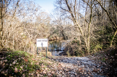
On the previous trip I explored the old ruins of the Victor Hotel and park. This time I had just planned to drive through and head on home. However, just behind the town hall another sign for a canoe portage caught my eye. Thinking that I might get a different view of the river and dams, I parked and headed that way.
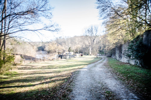
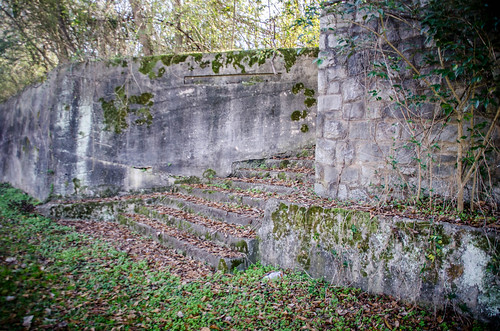
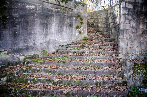
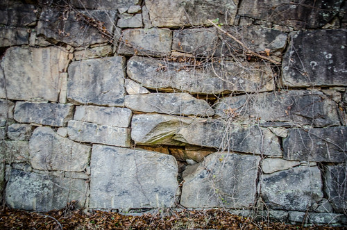
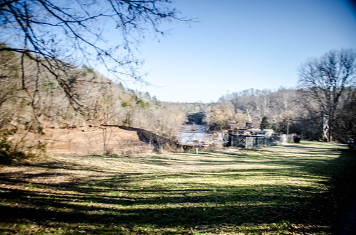
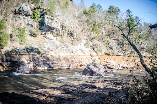
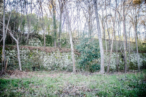
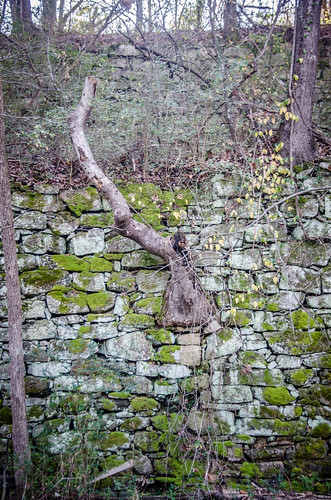
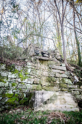
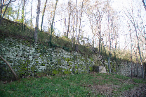
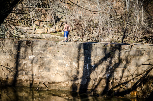
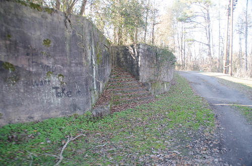
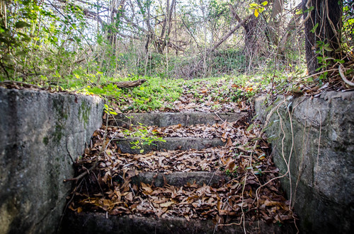
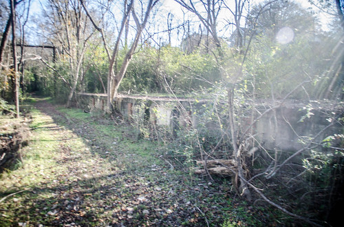
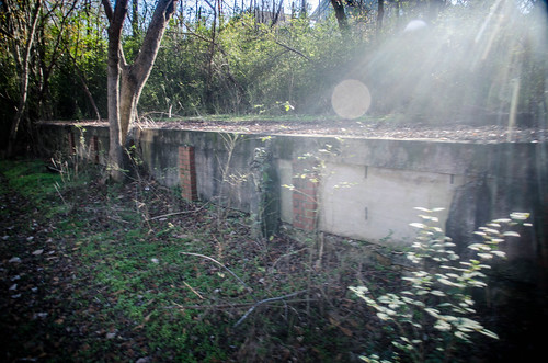
I did have good views of the river from that point. What surprised me, though, was that I was on a large flat area between the river and a huge stone wall. The wall was at least 30+ feet high in some places, and ran for nearly a half mile. Near the start of my walk I found a set of stairs set into the wall.
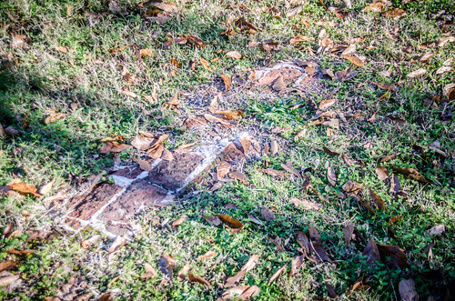
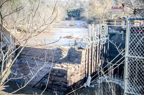
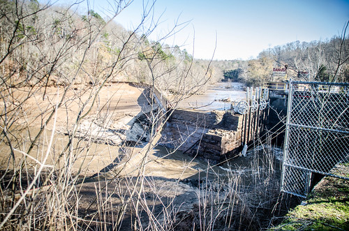
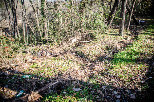
Down below was a dam and power plant. It was clear that I was on the footprint of one of the old mills, but I didn’t know which one. A line of bricks nearly overgrown with grass confirmed that something else had been here.
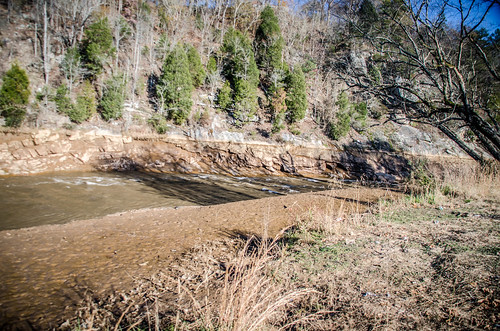
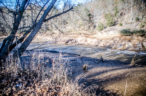
The dam didn’t look like it was holding back much water. In fact, large rock faces, as well as walls of mud were exposed on both banks. The water looked like it was much, much lower than it had been recently.
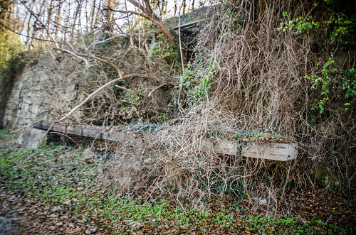
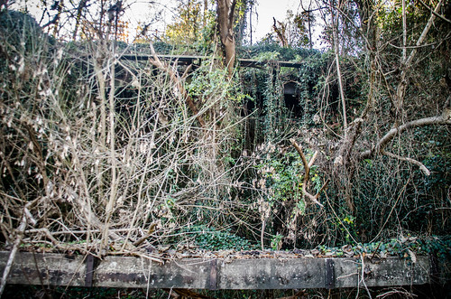
There was some activity at the small power plant. The dirt road continued past, and ended just beyond, with a trail continuing. The canoe portage signs pointed in that direction. Along the stretch opposite the power plant, though, the stone wall became even more complex. I came across an area that looked very much like a short railroad trestle above. It also looked like there was not one, but two separate paths above the wall on two different levels.
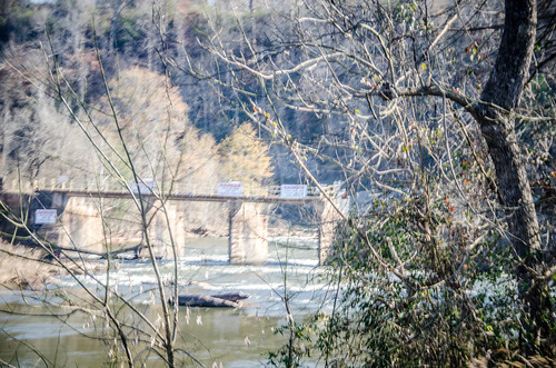
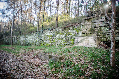
I also found the abutments for a bridge heading out toward the river. This puzzled me, as I didn’t remember any roads or railroads crossing the river at this point. I hadn’t seen any matching abutments on the other side. It was a mystery.
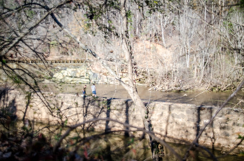
I continued on down the trail. Old walls, apparently ruins from the old mill, lined the bank. Another stone wall divided the river bed from the tail race that runs from the power plant. A couple of guys were standing on that wall fishing.
The canoe portage access was at the confluence with a smaller creek. As I had seen with the river bank upstream, it was extremely muddy, so I didn’t go all the way down to it.
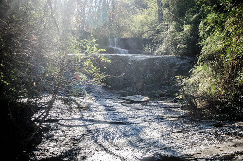
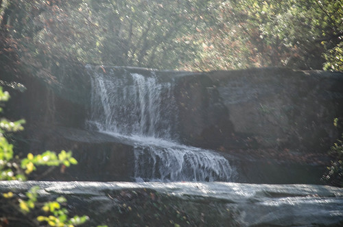
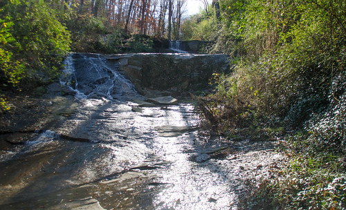
However, looking upstream from the creek I spotted a lovely little waterfall. It would have been even lovelier without the litter and mud. I tried to take some photos, but it was too backlit with the late afternoon sun.
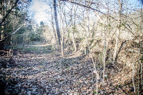
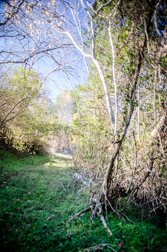
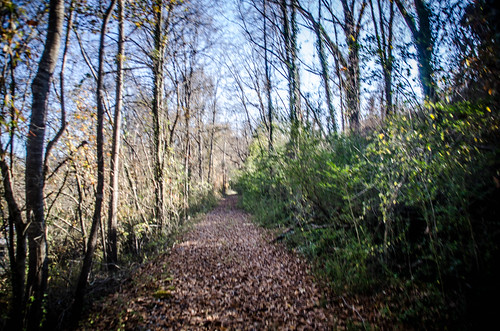
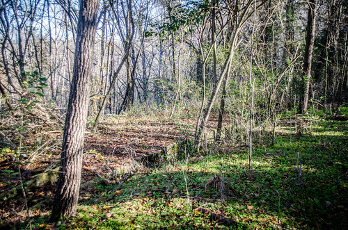
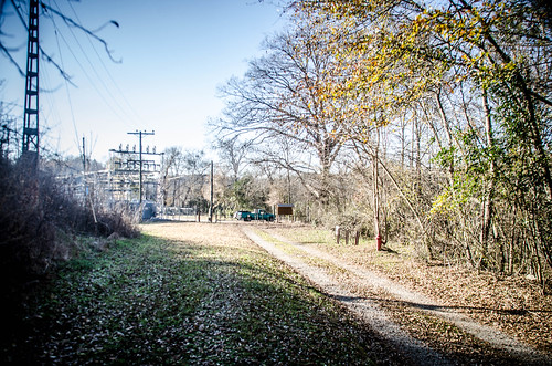
I made my way back to the car. When I got to the spot where the stairs headed up to the next level I decided to check them out. I found myself on a very overgrown, narrow path. Just up above that, though, was a wider, clearer path that must have been an old road. I made my way to the uppermost level.
Continuing on this path it was clear that the lower path was an old railroad bed. This was especially evident when I got to the trestle section. There were railroad ties below. However, I still wasn’t 100% convinced because I hadn’t see any railing.
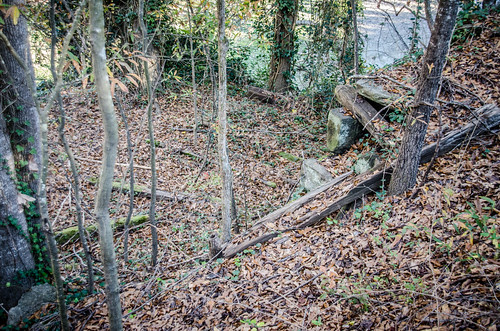
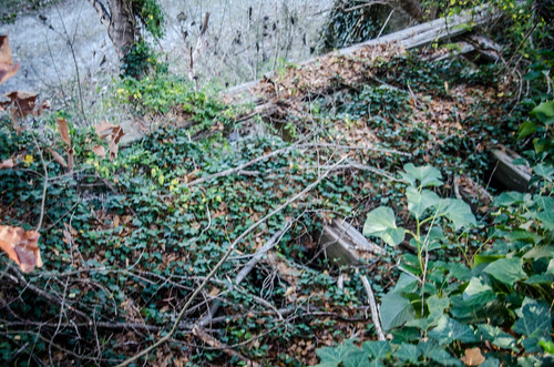
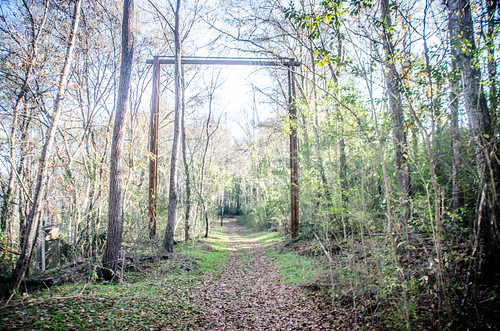
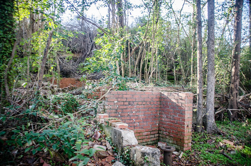
On down the path a large wooden structure rose over the pathway. This was right at the bridge abutments I had found earlier. Just before that on the right was a large concrete foundation for something. I spotted other bits and pieces of mysterious masonry and ruins.
I made my way back to the car. From here I could see that both the lower and upper paths converged at the parking lot.
When I got back home I had to find out more about the mysterious wall and bridge abutments. I found that I was at the site of Pacolet Mill #3, which sat on the banks of the river at this spot. Mills 1 & 2 were upstream. As with Converse and Clifton, all three mills were extensively damaged in the 1903 floods. Mills 1 & 2 were destroyed, but rebuilt. 3 was badly damaged, but could be repaired. The mill continued in operation until the 1950s.
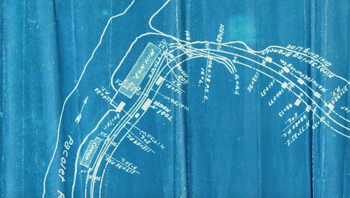
As for the mysterious structures, I was able to find some answers there, too. The mill stood off from the embankment, so a support wall was built. In 1903 a spur of the Southern Railway was built from Pacolet Station to support the mills on the river. This was known as the “Dummy Line.” The blueprint below was part of the original railroad agreement, and shows the path of the rail beside the mill. The blueprint also identifies some of the strange foundations I spotted, as well identifying the stream for my mystery waterfall as Kirby Springs.
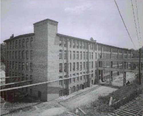
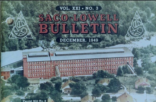
Looking at old photos of the mill I discovered the purpose of the bridge abutments. The mill sat much lower than the mill village workers entered the mill through the upper floors from at least two bridges. The first photo shows a double-decker bridge with the railroad clearly visible. The second 1949 magazine cover shows two bridges.
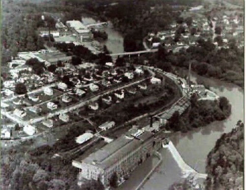
Finally, here is an aerial view showing the mill in context.
It had been another great day of exploring. Pacolet is a wonderful playground for anyone who enjoys exploring old stone ruins. I definitely want to get back out here again. For more information, check out the excellent Pacolet Memories website.


Excellent! I stumbled upon Pacolet Mills yesterday. Interested primarily in the railroads.