Skip to content

Random Connections

A collection of photography and exploration focusing on Upstate South Carolina and beyond.

  • Home
  • About Us
  • Photos
  • Resources
  • Other Voices
  • Post Archives
  • Podcast
  • Home
  • Photography
  • Page 16

Tag: Photography

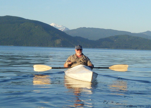
Paddling Around Samish Bay

Posted on July 6, 2011 By Tom No Comments on Paddling Around Samish Bay
Paddling, Photography, Travel

It looked like I wasn’t going to get to go paddling this trip.  I had thought about just buying a kayak and leaving it up here for future trips, but couldn’t find anything reasonable.  I thought about booking another tour, but by that time most had filled up with holiday  travelers.

Fortunately, the neighbor Duff came to my rescue.  He had several homemade Fiberglas boats that we had used before, but they weren’t easy to reach.  They were at the bottom of the cliff on the south side of the island.  We managed to haul them up the cliff, but by that time it was late in the evening, and we were a bit tired from the haul to go paddling.

After discussing options we decided to take the boats up the Valley and run a section of the Skagit River.  This was something I’ve been wanting to do for a long time, so I was psyched.  We loaded the boats onto our rental, since it had roof racks.

The next morning Duff and I headed out in two vehicles.  We had barely gotten off the island when one of the boats came loose and slid off of my car.    Fortunately there was no damage to car or boat, and we were able to get it loaded back on an limp home.  However, we needed to regroup.
Read More “Paddling Around Samish Bay” »

A Day on Samish Island

Posted on July 6, 2011 By Tom No Comments on A Day on Samish Island
Photography, Travel

The view from Mrs. Wright’s living room is constantly changing. The lighting changes with the rising and setting of the sun, clouds and weather roll in, and there is the constant shifting of the tides. Throw in a couple of eagles, herons, and humming birds, along with some boat traffic, and you’ve got a constant … Read More “A Day on Samish Island” »

Padilla Bay Preserve

Posted on July 4, 2011 By Tom No Comments on Padilla Bay Preserve
Travel

Padilla Bay Reserve

Mrs. Wright’s house looks out over Padilla Bay, a section of the Puget Sound bounded by Samish Island to the north, the flat farmlands of Skagit Valley to the east and south, and Fidalgo Island south and west. The Swinomish Channel runs between Fidalgo Island and the mainland, connecting Padilla Bay to Skagit Bay.

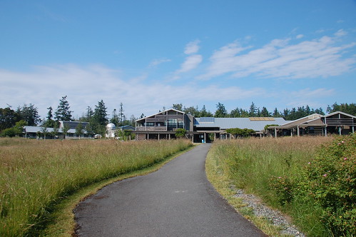
On the east side of the bay, near the little community of Bayview, is the Padilla Bay Preserve. As many times as I’ve driven past here over the past 20 years, I had never stopped in. I decided that had to change on this trip. It was sunny one afternoon this past week, so I headed on over.

The Padilla Bay Preserve actually encompasses the east side of the bay. Just south of Bayview is a paved walkway that provides great views of the bay and the surrounding wetlands and farmlands. North of Bayview is the Brezeale Interpretive Center – a research and meeting center with displays for the general public. I had walked along the pathway, but had never been to the visitors center.

Read More “Padilla Bay Preserve” »

Exploring Deception Pass

Posted on July 3, 2011 By Tom No Comments on Exploring Deception Pass
Photography, Travel

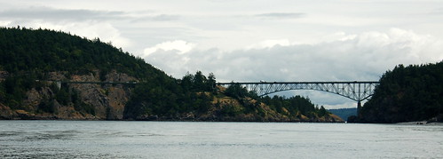
Deception Pass Bridge

Wednesday I left Laura and her mom to get settled into the house a bit more, and I headed out to explore. I kind of had a couple of destinations in mind, but I wasn’t really sure where I would wind up. as it turns out, I did a ton of hiking in several locations.

My first stop was at a wildlife observation area just about a mile from the island. You have to have a permit to park there, so I park out on the road and walked out anyway.

I followed a trail along cultivated fields, heading toward the dike that keeps Padilla Bay from flooding the farmlands.

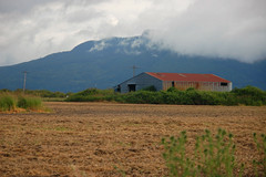
IrrigationCrop's Eye ViewSamish Barn

Read More “Exploring Deception Pass” »

Whale Watching on a Semi-Anniversary

Posted on June 28, 2011 By Tom No Comments on Whale Watching on a Semi-Anniversary
Travel

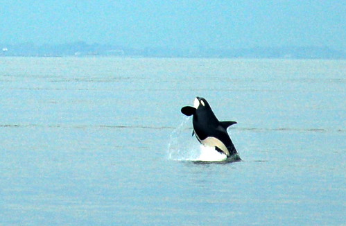
Breaching Whale

December is a hectic time of year. In addition to all the Christmas rush there is my birthday and our anniversary. Last December 27 was crazy with family and travel, so we decided to celebrate our anniversary six months later. Little did we know that June 27 would be crazy with family and travel, too, but we decided to go ahead with our plans for a special day.

Neither of us had ever been on a whale watching trip, so we decided that would be our big adventure for the day. This being a week before a major holiday, it was tricky finding reservations. Fortunately, Island Adventures in Anacortes had space, so we booked our trip.

It turns out that this is the same company that I used for my kayaking tour last August when I was here. They followed the same procedures, too. We checked in at their main store, then reported over to the marina where we would board.

Read More “Whale Watching on a Semi-Anniversary” »

Rivers, Valleys, and Peaks

Posted on June 27, 2011 By Tom 1 Comment on Rivers, Valleys, and Peaks
Photography, Travel

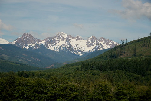
Two Sisters Mountain

It was one of those days that the State of Washington would prefer that no one knows about. I think they would prefer that the rest of the US think that it’s all rainy and gloomy. Otherwise, everyone would rush to move up here.

Granted, it was cold when I first got up – in the 40’s. However, I knew it was going to be a good day when I could see the Olympic Mountains over Anacortes to the southwest and Mount Rainier to the southeast.

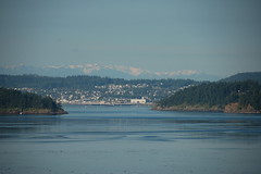
Anacortes and the Olympics

We had a lazy morning with a few more chores around the house, then I headed out to do some photography and exploration. I drove to the north end of the island and walked down to the beach on Samish Bay. Mount Baker was starting to peak through the clouds, and the skies were spectacular over Lummi Peak.

Read More “Rivers, Valleys, and Peaks” »

Revisiting Eastern Fairfield County

Posted on June 18, 2011 By Tom 3 Comments on Revisiting Eastern Fairfield County
Geocaching and Maps, History and Genealogy, Photography

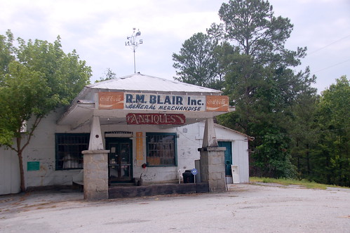
Blair General Merchandise

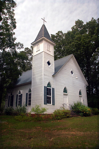
A couple of weeks ago Glynda and I had been down to see the parents, and had stopped back by Renno and Stomp Springs. On Friday we had made another trip to Prosperity, and decided we would catch a couple more locations on the way back this time. We passed through some truly remote areas and visited a few towns that could just about qualify as ghost towns.

Back in January we had taken the parents on a right through the southwestern corner of Fairfield County, and along the eastern shore of Lake Monticello. This time we extended that earlier trip, with stops in Jenkinsville and points further north on Highway 215.

Shiloh Methodist

Read More “Revisiting Eastern Fairfield County” »

Ghost Towns of Calhoun County

Posted on June 13, 2011 By Tom 3 Comments on Ghost Towns of Calhoun County
History and Genealogy, Travel

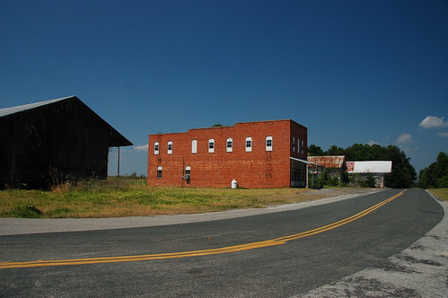
Lone Star, SC

This past week was the first of our four-day weeks on our summer schedule. That meant that I had Friday off, so I decided to take advantage of it. This was also a Lowcountry Unfiltered paddling weekend, so I decided to head down early and check out a couple of places. My trek led me to some true ghost towns in a very remote part of the state.

Since I hit so many places on this trip I’m abandoning my format for ghost town posts, but may go back and revisit those locations. We’ll have to see how closely I stick to this.

The first part of the trip was the non-descript I-26 trek down to Columbia. As soon as I got past the city, though, I was ready to leave the interstate. I took the Highway 176 exit, which parallels the interstate to the east. This led me to the little community of Sandy Run. I paused to take a few shots of the old red general store building on the side of the highway, now long abandoned.

Read More “Ghost Towns of Calhoun County” »

Exploring Chappells

Posted on May 31, 2011 By Tom 14 Comments on Exploring Chappells
History and Genealogy, Local

One my posts that seems to get the most hits and generates the most discussion is the one on the Ghost Towns of South Carolina. In that post I mentioned that probably weren’t many true ghost towns, but only near-ghost towns — towns with a dying city center, but a thriving community around it. Monday … Read More “Exploring Chappells” »

From Buzzards Roost to Chappells

Posted on May 31, 2011 By Tom 14 Comments on From Buzzards Roost to Chappells
Paddling

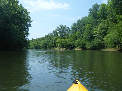
Saluda River Paddle-24

With the long weekend I felt the need to hit the water. The challenge was to find a paddling venue that was relatively close, doable without killing the entire day, and not over-run by Memorial Day crowds. We found the perfect location on the Saluda River, below the Lake Greenwood Dam.

Our plans were for an 8-mile stretch of the river from Buzzards Roost at Highway 34 to the Highway 39 bridge at Chappells. I was a bit concerned about river access. I knew there was parking and river access at Buzzard’s Roost, but I couldn’t find any info about Chappells. All my resources indicated that it would be a throw-in, at best. Fortunately, Dave was able to do some advanced scouting, and concluded that it would be a challenge, but doable. We decided to go for it.

Dave, Alan, and I rendezvoused at Alan’s house early Monday morning and we headed on down. Our first stop was at the take-out at Chappells. A steep, rutted dirt road lead down to the river, and it looked like there was adequate parking, assuming one had four-wheel drive and could get down the initial hill. The bank down to the river did look steep, but not insurmountable. We decided to put all of the kayaks in my truck and leave Dave’s Land Rover at the take-out.

The shuttle for the trip was only about 3 miles. While the road goes east-west, the river takes a deep dip southward. Before we knew it we had arrived at the Highway 34 bridge and the area known as Buzzards Roost. The dam forming Lake Greenwood was completed in 1940 and was referred to as the Buzzards Roost Project. The name has been around much longer than the lake, but I haven’t been able to find any history on it.

Read More “From Buzzards Roost to Chappells” »

Posts pagination

Previous 1 … 15 16 17 … 29 Next

Categories

  • EdTech (197)
  • Entertainment (202)
  • Family (123)
  • Gear (114)
  • General Technology (98)
  • Geocaching and Maps (208)
  • History and Genealogy (275)
  • Internet (142)
  • Local (459)
  • Miscellaneous (560)
  • Music (202)
  • Paddling (268)
  • Photography (781)
  • Podcast (19)
  • Rambling (233)
  • Rants (162)
  • Recipes (37)
  • Religion (48)
  • Restaurants (165)
  • Science (48)
  • Things Overheard (29)
  • Travel (413)
  • Uncategorized (143)
  • Washington Sabbatical (113)
  • Weirdness (61)

Recent Posts

  • Helene One Year Later
  • Once Again, Up the Long Nose
  • Upstate Renaissance Faire
  • Exploring Lake Summit
  • The End of Days

Recent Comments

  • Gay on In Search of the Road Builder
  • Virgil Howell on The Ghost Towns of Lake Marion
  • Virgil Howell on Return to Ferguson
  • Mary Copeland Myers on Renno and Stomp Springs
  • Virginia Pepper on Helene One Year Later

Tags

blogging cemetery Christmas Columbia Edisto River edtech Entertainment family Flickr Florida Furman Furman University gear Georgia geotagging Ghost Town Ghost Towns Google Earth Google Maps GPS Greenville Greenville Chorale history Instructional Technology kayaking Lake Jocassee LCU Lowcountry Unfiltered maps Music North Carolina Paddling Photography rambling restaurant Restaurants review singing social networking South Carolina time-lapse Travel video Washington Washington State
October 2025
S M T W T F S
 1234
567891011
12131415161718
19202122232425
262728293031  
« Sep    

Copyright © 2025 Random Connections.

Theme: Oceanly by ScriptsTown