Sometime last year I came across an article about the town of Ferguson, South Carolina. The defunct town is now submerged under Lake Marion. All that remains are some foundations and the old lumber kiln that had been part of the Santee Cypress Lumber Company. While looking for information about the old town, I also came across the location of the old Church of the Epiphany on Church Island. The “Rocks Cemetery” which had been associated with the church is still located on the island. Since these two were fairly close, it seemed that this would be an excellent paddling trip. So, this second Saturday of April, the explorers from Lowcountry Unfiltered decided to take it on.
Friday night I’d had an excellent dinner with Dwight and family, and had planned to spend the night in Santee. Once again, Santee struck me as a particularly seedy little town. Right at the Highway 301 exit from I-26 are billboards advertising some big adult book/video store. At the entrance to Santee are two adult “gentleman’s clubs” right across from each other. There were additional adult video places and what looked like defunct clubs lining the way in. Another active club was just down from the motel where I was staying. It looks like this was a place were guys came to fish and play golf during the day, then get other entertainment in the evenings. Add to that the fact that the main commerce, the Santee Factory Outlet Stores, had closed up and become a ghost town, and the entire effect was of one of decay.
Despite the creepiness, I got a good night’s sleep and was up early the next morning. I was supposed to meet Alan at Bell’s Marina in Eutaw Springs for breakfast, but I had a bit of time. I decided to check our proposed access points.
This would be a point-to-point trip with different put-in and take-out locations. The plan was to paddle from Ferguson Landing across to Ferguson Island to check out the ruins there. Then we would skirt along the interior of several islands, with a lunch stop at the “Hook” at Sixteen Island. After that we cross about two miles of open water to Church Island, then swing around to Spiers Landing for the take-out. Total trip would be about 8 miles, give or take a bit.
View Lake Marion Ghost Town Tour.kml in a larger map
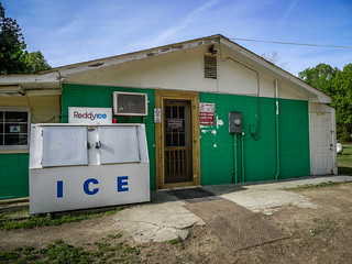
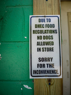
I found Ferguson Landing Road in Eutaw Springs with only a little bit of difficulty. Fisherman had park just about anywhere they pleased, and turning onto the dirt road was a challenge. However, once on it I had it to myself. The road was straight and ran for about two miles. It was built on the old railroad bed that once carried logs from the Ferguson lumber works back to town. At the end was the landing, Hide Away Campground and Hot Dog Bob’s. The campground had an air of permanence about is, as if these RVs rarely, if ever, hit the road. Hot Dog Bob’s was closed, but looked like a typical lake convenience store, but for a few cryptic signs.
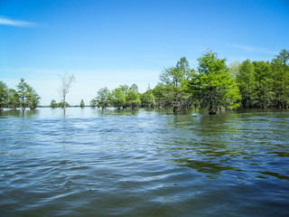
The landing itself was a simple boat ramp that opened onto a spectacular view of cypress and Spanish moss. The rising sun nearly blinded me as I spoke with a woman fishing at the end of the dock. She warned me about gators and said she had counted no less than 25 fishing boats zipping past. Something must be up.
I thanked her for the info and headed out to find the take-out.
The next stop was Spiers Landing, about 11 miles away by highway. I took a couple of missteps, but soon found the road to the landing. Spiers is a well-developed park with tennis courts, playgrounds, and other facilities. It was hopping, as multiple boats were launching. Parking had already stretched out of the lot and onto the access road.
Back at Bell’s Marina, Alan and I had a good breakfast (“swimming in goodness,” as Alan put it.) We then headed on down to Ferguson Landing to meet the rest of the gang.
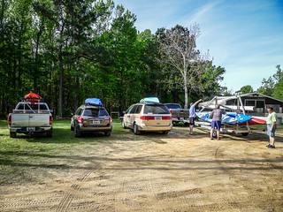
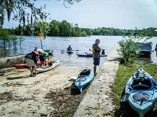
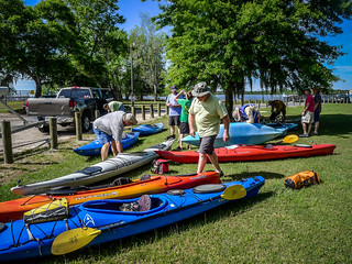
Stephen arrived first, then the rest of the LCU guys. In all we had ten paddlers on the trip. Boats and gear were unloaded and prepared for launch. Brian and I ran the shuttle, leaving his big truck and kayak trailer at the take out. By 10:30 we were on the water.
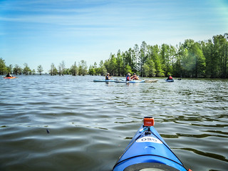
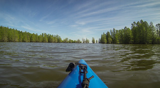
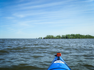
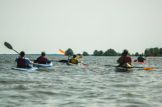
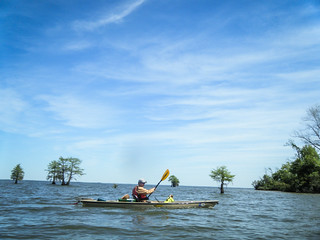
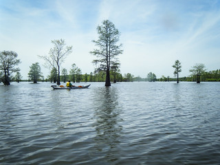
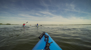
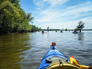
The weather was perfect, warm and sunny, with a bit of a breeze. Water levels seemed very high. We headed out across the lake toward Ferguson Island. Once we got past the shelter of the landing cove and cypress trees, the water got much rougher and picked up a bit of a chop. We could see whitecaps out on the open lake.
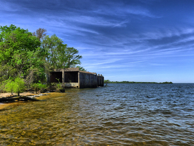
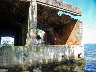
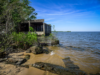
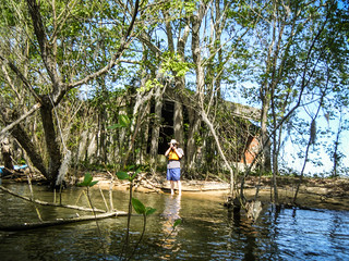
Just a few yards out from the landing we could already make out Ferguson Island and the shape of the old lumber kiln on the northwest end of the island.
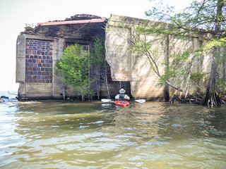
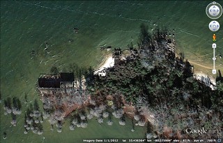
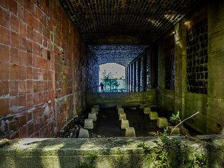
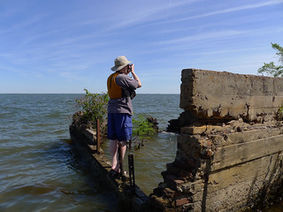
The waves were crashing against the old ruins. We were able to find relatively safe landing on the leeward side of the island and set off to explore. Google Earth shows several structure remains in this area. At lower water levels many more foundation stones are exposed.
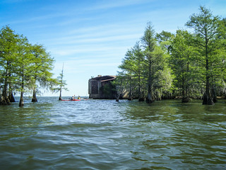
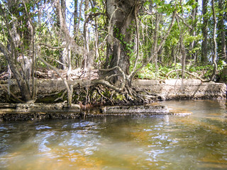
The only significant structure left was the old kiln, used to fire-dry lumber. However, we did find bricks and a few old walls on the north side of the island.
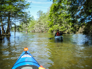
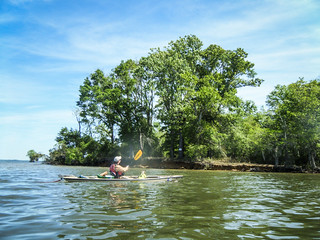
After some exploration we continued on our trek. Paddling along the leeward side of the island the water was calmer, except for when a fishing boat came cruising past. We meandered through the cypress trees, and spotted a few more ruins along the way. At the east end of the island was nice beach and a sign designating the area as a primitive campground.
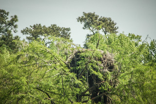
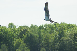
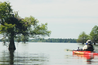
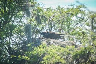
Our ADD paddlers wanted to stop at this beach for lunch, but I had another stopping place in mind. We crossed a bit more open water and approached another of the smaller islands. We continued to weave among the cypress trees. There were TONS of osprey in the area. These had made their nests on shorter trees than I would have imagined – only 8-10 feet off the surface of the water. The nests were massive.
We continued on the leeward, inland side of the island, soon reaching Sixteen Island. There were lots of fishing boats out and about. Many of these ripped through without regard to their wake. Other were courteous and slowed down when they spotted our boats.
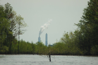
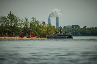
As the views from Sixteen Island opened up, we could see the twin smokestacks of the Santee Cooper Power Plant, located between lakes Marion and Moultrie. We continued through the cypress, and paused to watch even more osprey as they dived at us. They were not happy we were so close to the nests.
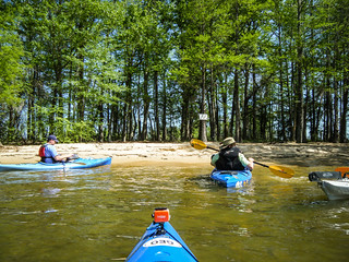
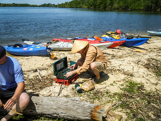
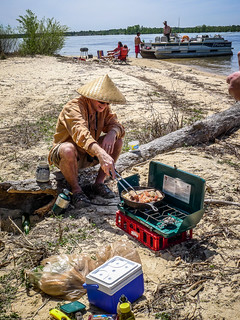
We continued on along until we got to the southeast end of Sixteen Island. This beach area is known locally as “The Hook” due to its shape. It would make the perfect lunch stop. There was already a pontoon boat, but there was plenty of beach, and the folks wouldn’t mind us being there, too.
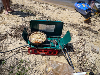
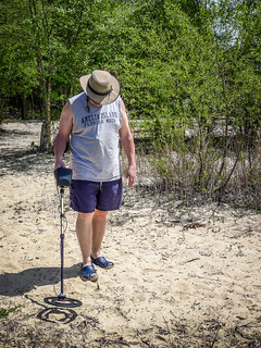
Matt had brought his stove. As has become our tradition, we feasted on bratwurst, sauerkraut, and craft-brewed beer. It couldn’t get much better than this. John even broke out his metal detector to see if he could find anything interesting.
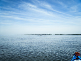
Suitably refreshed and rested, it was time for the long haul – 2 miles across open water to Church Island. Fortunately the wind had died down a bit, but there were still swells. We had two alternate routes, just in case. We could either head north and pause along another smaller island, or we could turn inland and skirt along the south shore. We just went for it.
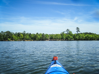
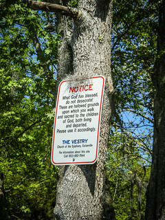
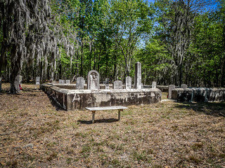
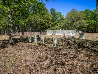
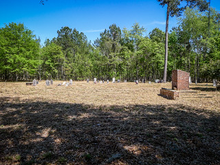
Eventually we made it across the channel, and were soon approaching Church Island. I could see the clearing that marked the old Rocks Cemetery and location of the Church of the Epiphany.
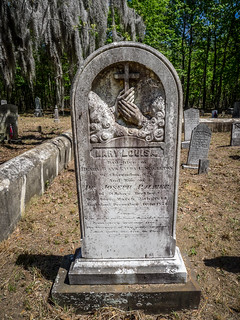
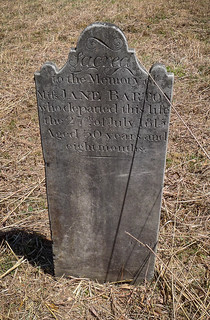
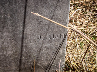
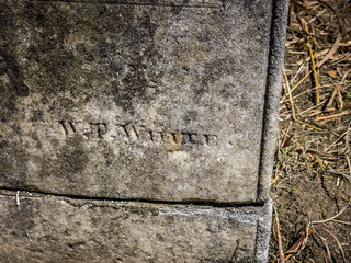
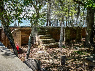
We landed at different spots and began our explorations of the cemetery. There were lots of ornate stones, and we found several signature stones.
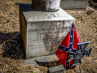
There was a fire still smoking where I had landed, and it looked like the grass had just been cut. Civil War veterans had brand new Confederate flags in place. Someone had just done a lot of maintenance here. It was good to see that they were still taking care of the property.
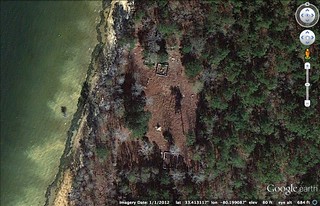
Google Earth shows the outlines of the family plots but really didn’t indicate the location of the old church.
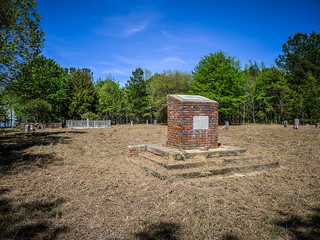
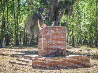
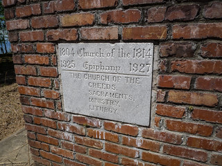
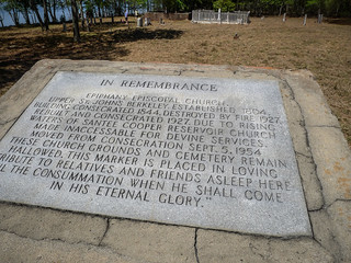
In the middle of the site was a large brick structure that looked like an oversized pulpit. Markers on that structure gave a brief history of the church. A wooden frame building had stood here.
That church burned and was replaced in 1927 by a brick structure. It only last a few years as the waters rose with the formation of Lake Marion. The church structure was deconsecrated, but left in place when the congregation moved to Eutawville. After years of vandalism, the church was demolished in 1957. Looking back, we could see a rough area outlined near the brick memorial. There were no graves in the area, and we thing that is where the church might have stood.
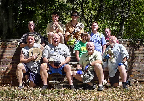
We paused for a group photo on the steps leading into one of the family plots. In honor of those that had passed, we doffed our hats.
The grounds were peaceful, and we could have stayed and explored more. However, it was time to move on. We headed southward along Church Island, then angled southeast toward our landing. We passed through more cypress groves and saw more osprey.
We paused at one nest and just waited until the bird felt comfortable returning. It still watched us with a wary eye.
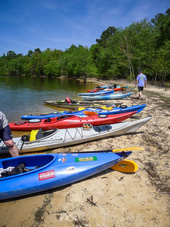
As we approached our take-out and the end of this phase of our journey, we saw that the place was hopping. Boat after boat was in line to take out. Fortunately, we didn’t need the ramp, and pulled onto a small beach area next to it. We loaded up our boats onto Brian’s trailer and all piled into his truck for the drive back to Ferguson Landing to retrieve our vehicles.
While we were loading boats back at Ferguson, a woman on a moped drove up with two dogs in tow. She was sporting a barb wire tattoo across her biceps, and rode right up to me. She said, “Dem ain’t my dawgs. Folks just drive out here and dump ’em. It’s a shame. You want a beagle? That’s a nice dawg, but I just cain’t take ’em.” I wasn’t sure if I was being propositioned or what. She turned to someone in Hot Dog Bob’s and shouted, “bring me out a cold beer!”, then scooted off on her moped.
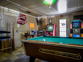
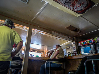
The others had left – some for home, and some for a rendezvous for BBQ. Stephen and I now decided we had to check out Hot Dog Bob’s. We went inside and found that it was NOT a convenience store, as we had thought. There was a pool table, pinball machines, and a bar with a few denizens of the campground hanging out. Stephen with into full preacher mode and started chatting with them. They seemed like nice enough folks.
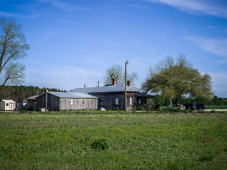
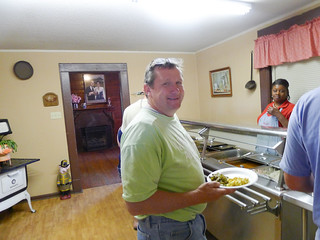
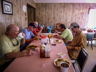
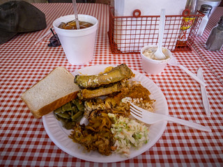
Our day was not over, though. Stephen and I drove through Eutawville in the direction of Holly Hill. On the outskirts of town we found Sweatman’s Barbecue. We almost missed it. The building is a 100+ year old farm house. Inside, there were tables and a BBQ buffet set up. We joined the others of our group for a great end-of-journey meal.
…and the trip STILL wasn’t over…
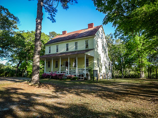
After dinner, Stephen and I headed back into Eutawville. We first stopped by the parish house for the Church of the Epiphany…
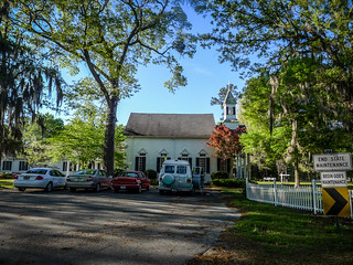
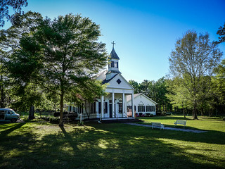
…then we went across the street to the church itself. There were cars parked in the lot, and it turned out that a service was in session. Since we had come off of an all-day paddling trip, we didn’t think we looked (or smelled) like parishioners. We headed on back toward the Upstate and our homes.
It had been a fantastic day out on the water. I’ve already written too much here for one post, so I’ll do a “Part Two” with some of the research and history that we’ve found for the area. Until then, here are my photos from the trip. I posted nearly 250…
Here are John Ring’s photos…
And here are Alan Russell’s photos…
Here are Matt Richardson’s photos…
I’ll post more as my friends put them on Flickr.
More reading…
- The Ghost Towns of Lake Marion, Part 2 – Ferguson
- The Ghost Towns of Lake Marion, Part 3 – The Water Rises









Thanks for sharing, as a former Low Country resident I enjoyed seeing my favorite state again.
Thank you for such a great story and wonderful pictures. As a member of the Historic Church of the Epiphany I would love to have you back sometime.
Wonderful pix and thanks for sharing. Did not see mentioned on here but apparently, at one time, there was a railroad bridge for the Ferguson mill’s logging railroad to cross the Santee and log out parts of Clarendon County. What a lot of history is under those waves…
It would make sense that there was a railroad bridge here. The access road for the landing runs along the old rail line, so it stands to reason that it would continue.
I checked my copy of Logging Railroads of SC by Thomas Fetters and sure enough there was a bridge across the Santee River at Ferguson. It was used for last minute logging in Clarendon County by a different company right before Lake Marion was impounded. I wonder what happened to the bridge. Here is the excerpt on Santee River Cypress Company from Fetter’s book:
Santee River Cypress Company
The mill at Ferguson, South Carolina, which prompted the Eutawville Railroad to build a branch to the village, was built by B.F. Ferguson and his partner, Francis Beidler, who together formed the Santee River Cypress Company in 1890. The partners purchased 165,000 acres along the southern bank of the Santee River, the lower Wateree and the Congaree Rivers. At Ferguson, South Carolina the company built a large band mill, which was located just upstream from Black Oak Island where a number of well-known Ante Bellum plantations were located.
Santee River Cypress had its own logging line, which ran from Ferguson across Black Oak Island to the village of Cross, named for M.B. Cross who was interested in the company. Cross was also at the end of Mr. Rogers tram road out of Chicora, South Carolina and the Prettyman Lumber Company line out of Summerville. While this implies some congestion of rival logging trains milling about the village of Cross, reality suggests that the lines existed in the village at different periods of time.
In 1900, the company cut 80,000 feet per day, mostly cypress, at the Ferguson Mill. The town that developed around the mill had its own hospital, an unusual feature for so small a village, but necessary because of the constant threat of malaria that developed in the deep swamp.
Santee River Cypress #102, a 4-6-0 steam engine, operated over the logging line, but little is known of the rest of the roster. The company was aggressive toward its goals, and a special act of legislature was signed on February 15, 1909 (Act No. 157), which permitted it to bridge the Santee River from Berkeley County to the company’s property on the northern bank of the river.
Rivers T. Blount of Eutaw Springs confirmed in 1986 that the steel bridge was, indeed, built although it was largely unknown to the public. The company used the bridge to allow its trains to reach into Clarendon County and the green swamplands of the Santee.
The company purchased two Lidgerwood Manufacturing Company “pullboats” in 1908 and followed up with an order for two Lidgerwood “Duplex” all-steel, cableway skidding plants, “which were specially designed for this particular operation, all of which is to be conducted from pile-supported railroads running through the tract.” Each of the two plants was built with a “steel tower, which could be lowered, and a swinging loading boom.”
In addition, Lidgerwood was given an order for a “special traveling log-handling cableway for handling logs in the yard. This will unload logs from the cars, sort and pile them and deliver them to the mill as wanted.”
The “pullboat” order suggests that the company had several logging camps along the Santee River that transported the cut timber in rafts to the mill at Ferguson. As the waterside camps were cut out, the company turned to pile-supported railway, with the mechanical advantage of using the huge Lidgerwood cableway machines to draw timber through the swamps to the rail line from remote campsites.
Ferguson died about 1915 and his partner, Beidler, bought Ferguson’s interest in Santee River Cypress, and soon closed the mill and shut down the company before 1920.
Nearly 20 years later, Holly Hill Lumber was given a contract to remove the timber of the soon to be impounded Lake Marion. It was Rivers Blount who rebuilt the track over the old right-of-way from Eutawville through to Ferguson and out through the swamp to the still standing steel bridge of the Santee River Cypress Company, which still spanned the Santee. Building an approach to the bridge, Rivers ran the track up to the bridge, across it and down into the swamplands of Clarendon County where extensive logging resumed once more. Again, few, if any, in Clarendon County knew of the logging activity since the Santee Swamp provided such an effective barrier.
Holly Hill operated the line with a Shay locomotive and #2, a coalburning 2-6-0. Approximately 30 to 40 logging cars were used, and at the end of the day, they were hauled to Ferguson to be made into a train. This train then proceeded to Eutawville on Holly Hill Lumber trackage and by trackage rights over the ACL to the town of Holly Hill.
Operation of the line began in 1939 and continued into 1942. Both Lidgerwood loaders and overhead rigging were used to bring the logs to the gondola-style logging cars that the company used in this Santee clearing operation. Lake Marion’s impoundment began in 1941, shortly before the beginning of the war, and Blount removed his trackwork from the swamp ahead of the waters, but although asked to remove the steel bridge, refused to handle this job as it seemed dangerous with the equipment available to him.
As the waters rose, the remains of Ferguson were isolated from the mainland on a new island, and in 1986, portions of the mill structure remain, where they can be viewed by the wary boater who watches for old machine beds that lie just beneath the waters.
From “Logging Railroads of South Carolina” by Thomas Fetters. Heimberger House Publishing, 1990.
Great info! Thanks!
I have fished all over that area and new of the mill but did not know of the history , I also fished and camped on church island a many a time before Hugo changed every thing used to camp right by the grave yard what a wonderful time . Thanks for the memories
Me & my daughter Mary Laurin canoed ,camped & fished in this area Easter weekend 2022.put in behind a bait shop & marina (Bells) in Eutawville . On our way back to the truck to head back to our home in the Sandhills of NC,I caught a few glimpses of what appeared to be parts of an old railway.I’m overdue for a new pair of glasses but my daughters 10 year old eyes confirmed that it was indeed ,what appeared to be,sections of an old railroad a few feet above the lakes high water level .Had I come across this story before our trip,I would have done some research & exploring..Next time! We had a great time & we were winging it. Didn’t use any maps or make any real plan until we got in the general area me & my brother had launched from approximately 10 years ago. Back in the 70s ,my father started an Easter Sunday tradition.The family would get up bright & early Easter morning,see what the bunny had brought us,get dressed & head out for sunrise service at Saint James Catholic Church in hamlet NC ,where we lived at the time. After church, Mom,Dad & us 3 children (a 4th jr.crew member was born a few years into the tradition . The more the merrier !)would load up in the back of the old jeep honcho with a camper shell & a mattress in the back,with an old homemade wood & fiberglass boat ,with an even older evvenruide (sp?)2 1/2-3 hp put put out board motor on it (saw the same motor,or one just like it ,on display at bells bait shop when I was getting minnows and ice. Had a sign above it… “NOT FOR SALE “& a short story about the man that originally opened that business in the 1950s or 60s.?.& some of the adventures he’d had back in the day while using it .) All the necessary gear(except a few dozen minnows & ice) was packed the previous day .Those were the good old days. The tradition has been rebooted..we will be taking another trip or 3 over the school summer break & definitely be at Santee every Easter ,that god allows us to go,from here on out.Will definitely be checking out the old lumber mill,cemeteries ect.next trip. Might even camp at the graveyard .Depends on who’s along for the trip & how the. ” vote “ turns out…Thx to everyone that added to this article..Take care .
W.B.Wills II
Carthage NC
PS. This Easter we got an early start.Not an active “member” of any one particular church right now but did have a service of sorts. One of,if not the best Easter services of my 52 years here on earth. (consider myself a member of the blue dome church of nature these days.find it to be very spiritually fulfilling. Also added a few Native American spiritual rituals in to the mix this year .Was good so plan to continue with that.Giving thanks & Recognition to god ,sacrifice that have been made for us & giving sincere thanks for all of it,past-present-future,is what counts..no matter how you go about it…)+the crappie were calling my name. Dogwoods were in bloom,so we had to get to it. Got up & out of the tent just before sunrise on Sunday morning. Heard a beautiful rendition of amazing grace coming from across the lake. Not sure who was singing or how many people it was but sounded like 50-100.?.?.Hard to tell the way sounds travel over the water but it was a beautiful thing. OVER & OUT.
Wonderful. Going to try to see all these places this summer.
Forgot to mention that I emailed the link to this page to Thomas Fetters, the author of the book. He was quite delighted and spent some time going over your photos and write up! ( He and I have corresponded in the past over another SC logging railroad line. )
Enjoyed reading this post. If you are interested, I have a couple of items that show the location of the old railroad bridge over the Santee River mentioned here (topo map and old aerial photo), as well as a couple of historic newspaper articles referencing it. I will be glad to share them with you if you wish, by whatever method that you will suggest….Bentley Fishburne
Mr Fishburne, I think we all would like to see what you have. Tom…?
Absolutely! I’ll see what we can work out.
That’s what I’m talking about, Jack!
Just let me know how to send it. The file contains 8 JPEG images and 2 PDF documents containing a total of 23.5 MB. The 2 PDF documents are repeated as 2 of the JPEG images – I was unsure if they would transmit as JPEG images of adequate resolution….Bentley Fishburne
Bentley, I sent you an email earlier today with some suggestions. Let me know if you get it. We’ll figure something out. You could put it all in a ZIP file and email it to me.
I have enjoyed this so much,and the pictures are just beautiful,clear and sharp.I am gonna come back and read more of this,
Thank You so much for this.
Janne
I am very glad you and your group took the time to enjoy our part of the county, however I was a little disappointed at your view of Santee until I saw the date of your trip, then I understood. I am happy to report that the town is in the middle of a multi- million dollar revitalizing project that includes extending Hwy 301 across I-95 to Hwy 6, extensive landscaping and the addition of an aquatic park operated by the YMCA of Columbia! There is also a new waste water treatment plant scheduled to go online soon to take the burden from The towns current out of date and low capacity system.as for dinning, one of the old nightclubs you spoke of is now a very nice Mexican restaurant.Another fine place is ClarksResturant owned by Bill Clarks family that has been around since the 1930s.If you are a fan of BBQ,there is also Lone Star BBQ and Mercantile, owned by Pat Williams and family that is constructed out of four early 1900s era country stores,complete with signage, pictures and products from that era, it is practically a step back in time.Check out their website,many Saturdays they have live bluegrass bands! We would love for your group to come back and enjoy your stay, and if you would like to extend it to Sunday, you are always welcome to attend service at Providence United Methodist Church, with the Rev.Terry Martin leading the service in the nearby Providence Community.
My great grandparents were from the Chicora area, so the history of this area is of great interest to me. I am enjoying reading about the railway and the structures from back then, and look forward to more.
Thank you.
I really enjoyed reading this. Learned a little more history of the great State of South Carolina. Now I’m going to see all of this. Thanks!
If you go outside of eutawville towards pineville francis marion is actually buried out that way.
Raymond, Francis Marion’s current gravesite is on his brother’s former plantation “Belle Isle”. Francis Marion’s homesite is under Lake Marion. My father saw Marion’s house, as a child, before the dam was built and said it was falling in at the time.
I am trying to find the lat and long of the submerged bridge at Angels landing. Does anyone have them. charts show stumps,railroad but no bridge.
Hi Tom,
I thoroughly enjoyed all of your posts about this trip and photos so much so that a group of friends and I took the same trip just yesterday(Sept 27,2015.) I added the photos to a dropbox page and added a link to the website section of this reply…I posted the photos I took at Ferguson and Church Island Cemetery. I thought you and the members of your trip might like to take a look at them…I’m trying to gather pictures the other members of our group took and post them there as well. Thanks again for the great post and photos…if it weren’t for them we may have never even known about this great trip and the history behind it.
Sincerely,
Chris
Forgot to mention if you check out photo number 6 you can see what looks like a post sticking up out of brick and concrete and at the top of the brick and concrete mound a curved piece sticking up…both of these are pieces of railroad rail…not sure if this may have been where the railroad originally came to the island or not. This is on the north side of the island past where the lumber kilns are.
Chris, these photos are great! Thanks for sharing. It’s amazing how much lower the water was. I wish I had been out there with you.
BTW, the railroad did come out that way. The road to the landing runs along the old railroad.
Tom….Is there any way that I can access the photos that Chris Bailey mentions above? He mentions a link. ….Bentley
I think if you click on his name it will take you to them.
Thanks, Tom. I learn something new every day. Problem is, at my age, I’m forgetting more than I’m learning….Bentley
Chris Bailey….I visited the mill site in 2012 when the water was even lower than it is now. It was even lower than that in 2007, and I truly wish I’d had the opportunity to visit it then. According to Page 34 of the July 10, 1913 edition of LUMBER WORLD REVIEW, the Ferguson mill was rebuilding due to an earlier fire. On my visit, I took a photo of the same clump of rubble and concrete with the bent railroad iron that you mention as your photo no. 6. I noted at the time that I took mine that the rubble and iron showed signs of having gone through a fire. I suspect that the rubble and iron had gone through that earlier mill fire, and were mixed with concrete and used, probably as foundation, in the rebuilding of the new mill. The railroad did come to the millsite and town of Ferguson from Eutaw Springs, and thence in a NNW direction nine-tenths of a mile to the Wateree River. There, it crossed on a bridge that the company had built to access and log their property on the other side of the river. Being an old retired forester, I find this subject fascinating, and look forward to each new bit of information with relish. Thanks for the new photos….Bentley
Might have been a fishing tournament going on. Would explain all the boats. Appreciate the history lesson. Very interesting.
Back in March of 2015, Bentley Fishburne was going to send some maps and two photos of the Steel Bridge. Assuming you got these, could you send the aerial photo of the Steel bridge to me?
I need to correct a few things. The railroad out to Ferguson from Eutawville was built by the Eutawville Railroad, that later became the Charleston, Sumter & Northern that operated passenger service from Charleston up to Pregnalls, then over CS&N track to connect with track to Fayetteville and to Hamlet. The ACL saw this as a SAL possible acquisition to get to Charleston, so they bought it and broke it into five other entities. The bridge from VANCE to St. Paul was burned and ended all through service. The Northwestern of SC got the Sumter to St. Paul section, and merged it with their Wilson & Summerton line. The track south of St. Paul was used by several lumber companies such as Penn Lumber and Brooklyn Cooperage, but when the lake filled in, in 1941, the line was abandoned.
The Santee River Cypress Lumber Company received some logs in over the ACL from Eutawville, and shipped lumber out to market over the ACL. The SRCL Co. Steel Bridge was known to many who hoped to get the SAL to come down from Sumter, pass through Manning , cross the bridge and head southeast to Strawberry to get to Charleston over the Charleston Northern, an SAL line.
The Ferguson KILN was ELECTRIC, not a fire kiln.
SRCLCo also had a third rail electric railroad service from the mill to the storage yards and to the kiln. I found that a new employee was electrocuted by the third rail while working (See Orangeburg Times).
I have a complete history of the SRCLCo story but no publisher interested.
Currently working on the Alcolu Railroad and the Alderman logging lines in Clarendon, Florence, Sumter and Williamsburg Counties. Any photos of the mill or logging trains will help.
Tom Fetters