Just when I think Google Maps can’t get any more amazing (or scary), they come out with something new. This time it’s "Streetview." Streetview is available for only five cities in the US – Manhattan, Miami, Denver, Las Vegas, and San Francisco. I haven’t checked any foreign cities yet.
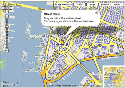
If you zoom into one of these locales, you will see that some streets are outlined in blue. These are the streets where a Streetview is available.
As you can see in the image above, a little man icon serves as a zoom marker. In this image, Manhattan has the blue outlines, but the neighboring burroughs do not.
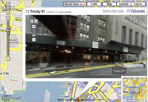
If you click on a street, takes you to an image similar to the one below…
The image can be zoomed and rotated. You can look up the street or down the street. It’s one of the most amazing things I’ve ever seen. Talk about a virtual field trip!
I haven’t read anything more about this, so I have no idea if they will eventually roll it out to most major cities, as they did with the 3D buildings in Google Earth. I also don’t know if there is an analog to this in Google Earth.
If Google follows their previous trends, they will be soliciting contributions for other Streetview scenes. It will be interesting to see how this all works out.
[tags]Google Maps, Streetview, maps, Google Earth[/tags]


Nice post…there’s so much data out there and a ton of “work” to do poring over it all. In case there’s any interest, I put up a quick and dirty place for posting links. http://davidsterry.com/streetview