When Alan and I came out to Lake Saluda last week, I wasn’t feeling so hot. Well, actually, I was too hot – heat exhaustion plus a fever of over 100. Couple that with the fact that we missed the channel we were supposed to be taking, and it wasn’t an ideal trip. So, when Dave Freeland called and wanted a close paddling venue that would be good for his 13 year old son, Zach, I suggest heading back to Saluda.
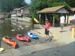
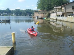
We made our way back down Motor Boat Club Road to Saluda Landing. Personally, I would love to find some other access point. These guys charge per boat, so to launch our three kayaks was $15. I don’t mind paying a parking fee, but the per boat fee is a bit steep. However, they have a monopoly on lake access, and they know it.
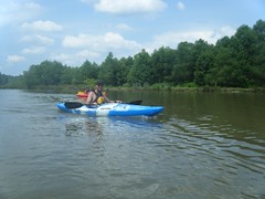
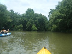
We paddled out, then southward to avoid the silted spit, then turned upstream. This time we hugged the right channel toward the river, rather than being tempted by the more open water of the west arm of the lake.
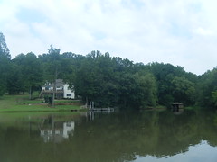
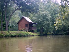
There were a good many houses and docks along this section. However, the west side of the channel was quite shallow. We had to stick to the right side to get through.
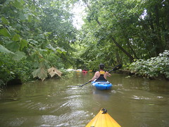
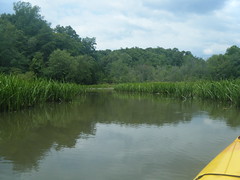
About mid-way through this section we spotted a narrow path heading off to the west and decided to explore. I thought it might go into the grassy area Alan and I had explored last week. Surprisingly, it cut right through and opened into the main arm of the lake that Alan and I had traveled last week.
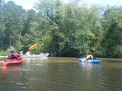
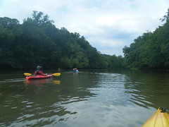
It was at this point that I had to admire Dave’s newest kayak. He had bought a Pyranha Hybrid kayak. It has a good bit of rocker, like a whitewater boat. The boat would spin and do Crazy Ivans when he stopped paddling. However, the boat also had a drop skeg to allow for straight tracking on flatwater. While not as fast or straight tracking as the Pungos Zach and I were paddling, it’s still a very versatile boat, and would be excellent for river exploration.
We retraced our route from the cross-channel back to the river, proper. When we reached the end of this arm of the lake and chain stretch across the channel about 20 feet over the water. We wondered if it might have held a sign for the lake at some time.
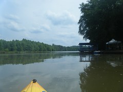
The river took a sharp turn to the west. A larger, somewhat shallow cove opened off to the north. There were some wonderful lakeside estates along this section.
There was some boat traffic out on the lake/river. Most of this was small, shallow-draft fishing boats heading upstream.
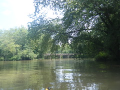
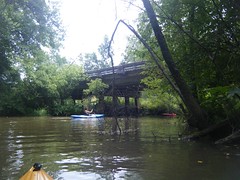
At this point we could detect a subtle current pushing against us as we headed up river. It wasn’t bad, and we were making good forward progress. Soon enough, we reached Farr’s Bridge and Highway 183, our first tentative goal for this trip.
It was still fairly early, and we still had lots of energy, so we decided to continue on. The next river crossing was Hunt’s Bridge road, but I didn’t think we would make it that far.
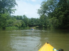
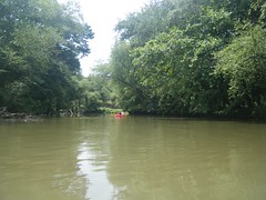
It was clear that we were now on a river and no longer on a lake. Even so, there wasn’t much of a current. The houses were fewer and farther between.
We reached a point where the river divided. We figured this must be an island, and decided it would be a good point to head back. Dave and I concluded that out-and-back paddling trips are harder than point-to-point trips because you always want to keep exploring further, and can get yourself in trouble.
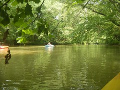
We paddled past the island, then decided to come back on the other side. We found another little side channel into a grassy area and decided to check it out, too.
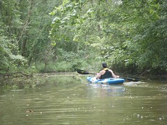
Even though we were now heading downstream, we couldn’t just float along. There wasn’t enough current. The trip back was a bit quicker, though, and we were soon back at Farr’s Bridge. This time we noticed that another channel led off to the west under the bridge. Of course we had to check it out.
The channel came to a dead end, but it gave us an idea for possible river access at this point.
The rest of the paddle back through the lake was fairly uneventful. We encountered a few more pontoon boats, one of which was in the process of getting stuck in the shallows of the river channel. We had problems in our kayaks getting through that section. I couldn’t imagine a big boat like that getting through.
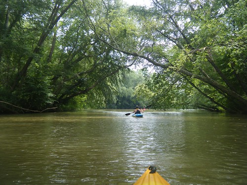
All in all it turned out to be a great trip. Once we got past the lake we ran into some nice scenery. The whole trip was about 6 miles, and we didn’t get anywhere close to Hunt’s Bridge. Dave and I are thinking that it might be good to put in at Hunt’s Bridge and paddle on down to the lake. However, I think we might want to explore alternate lake access points.

It looks to me like there might be a possibility of access on the West (Pickens County) side of the lake. There is a circular cul-du-sac on the first peninsula above the dam on the West side, and what MIGHT be a doc or ramp on the south side of that. I’d post a snippet from Google Earth, but I’m at mom and dad’s and don’t have the where with all.