
Just because it’s December doesn’t mean that we stop paddling. Heck, for this particular trip we even went swimming, but that’s getting ahead of things a bit. Fellow explorer, and now fellow paddler Mark Elbrecht proposed a trip out to Andersonville Island to see if we could spot the ruins that everyone says are there. Bennie Waddell had just gotten a new kayak, and I lacked only 6 miles to push me over the 200 mark for the year. Of course, agreed to come along. Turned out to be a great trip with unexpected finds and unexpected excitement. But, I guess the word “unexpected” is redundant. Regardless…
When we go on these explorations Mark is even more meticulous and thorough in his research than I am. Often we visit the same places (often at different times) and each of our blog write-ups add a different dimension to the puzzle. This trip was no exception. We both pored over old maps of the area, trying to determine the path of roads and the likelihood of finding ruins.
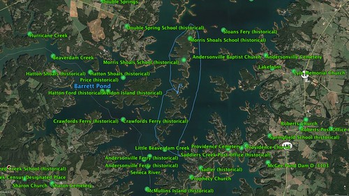
The Robert Mills 1825 Atlas shows Andersonville spread out along two roads at the confluence of the Tugaloo and Seneca Rivers. Basically, it was right where the Savannah River begins. One road crossed the Tugaloo River at Harrison’s Ferry, and the other crossed the Seneca River at Larue’s Ferry. Later GNIS data just lists “Andersonville Ferry (historical).”
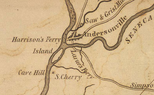
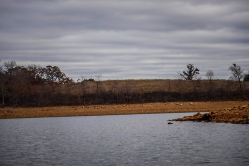
This whole area would be under water, so the town’s center is essentially lost. Anything we might hope to find would be residential buildings or commercial buildings outside the town, such as a country store.
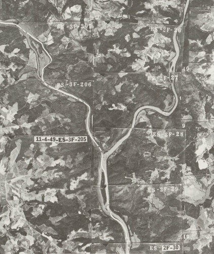
We looked at topographic maps of the area as well as some old SC DOT maps and aerial photographs of Anderson that pre-date the lake.
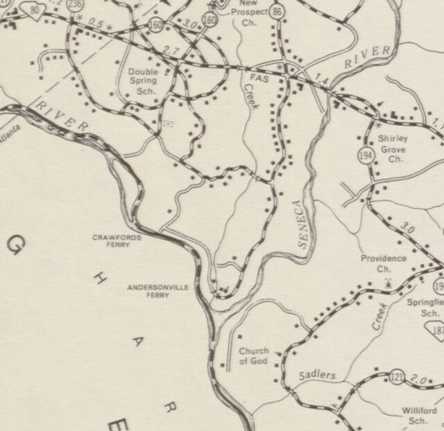
From these we marked road locations, paying particular attention to intersections. Crossroads are often where you find commerce or houses. I put together a Google Map with potential targets, most on Andersonville Island, proper, but some on Shaw Island, to the west. That island had several intersections that looked quite interesting.
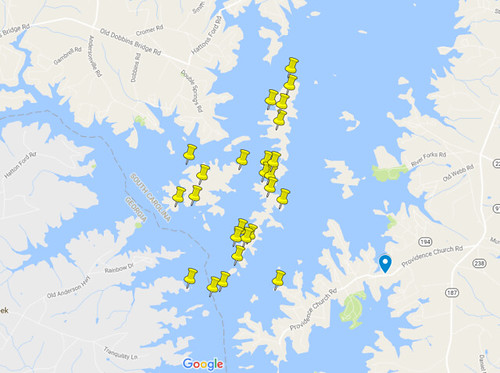
This brings up some concerns I had. Should we find something on the north end of Andersonville Island or on Shaw Island, could it really be considered part of the ghost town of Andersonville? 19th century towns were tiny compared to today’s standards. Completely different towns may be separated by only a couple of miles (think of the towns of Gray Court and Owings.) Some of our target areas were a couple of miles from the actual location of Andersonville. My guess is that those residents probably didn’t think of themselves as citizens of the town.
Another concern would be the dating of any remains we found. Some of these structures may have been built in the time between the decline of Andersonville as a town and the inundation of the area when the lake was built. Could those really be considered part of the ruins of Andersonville? The persnickity bit of my brain says perhaps not.
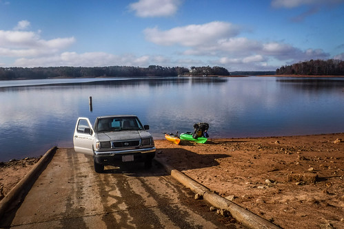
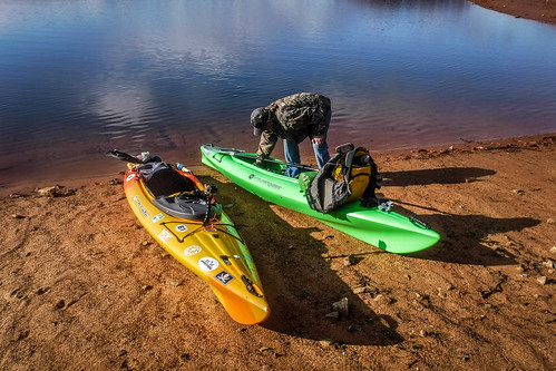
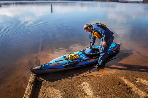
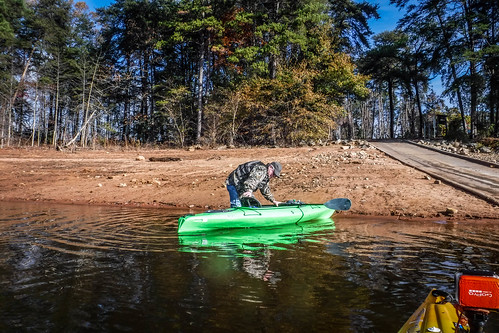
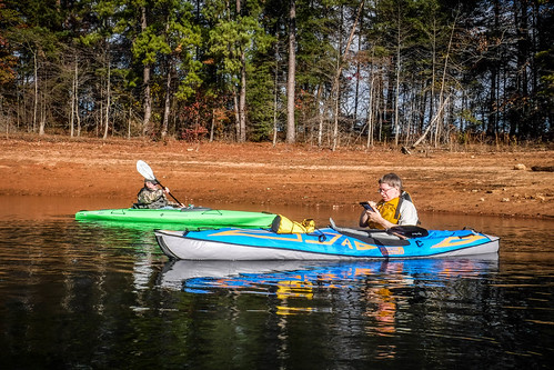
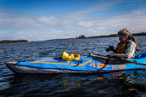
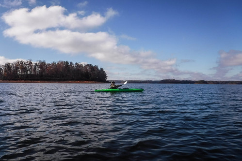
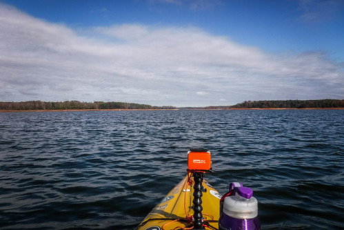
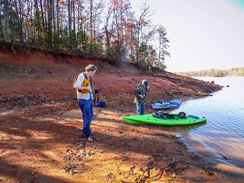
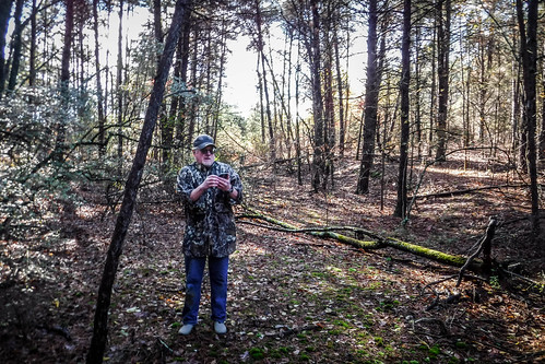
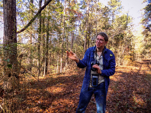
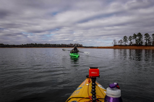
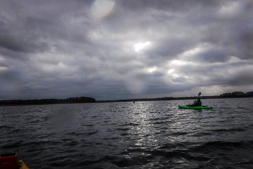
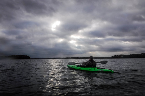
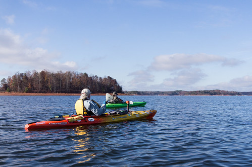
Wednesday morning arrived and we set out. I had prepared for cooler weather paddling, as had Bennie. I picked him up at his place and loaded up his new Pungo 120. We would be paddling matching boats today. From Greenville we headed on down to Anderson and met Mark at Jarrett Landing. Mark was in the process of setting up his new Advanced Elements inflatable kayak, and was likewise prepared for the weather. Bennie and I unloaded our boats and we got ready for launch. We had our “spirit guides” with us – “Swamp Thing” and “Old Salty.”
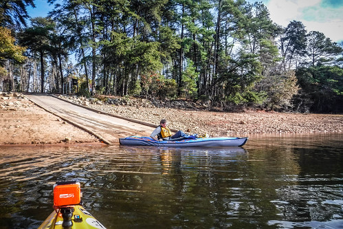
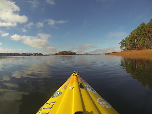
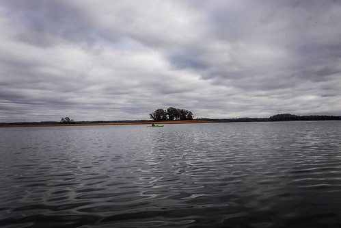
The weather was ideal for paddling, at least for me. Yes, it was chilly, but not that bad. There was a slight breeze, but overall the waters were calm. We got underway with no problems.
Here’s a short video clip showing the perfect paddling conditions:
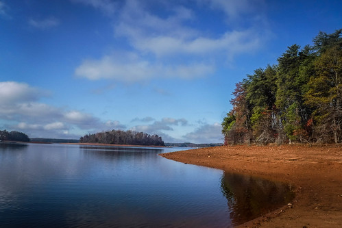
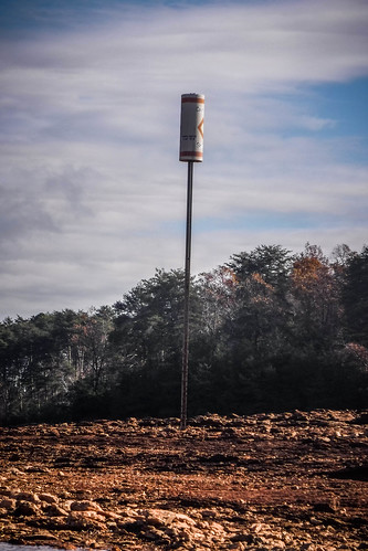
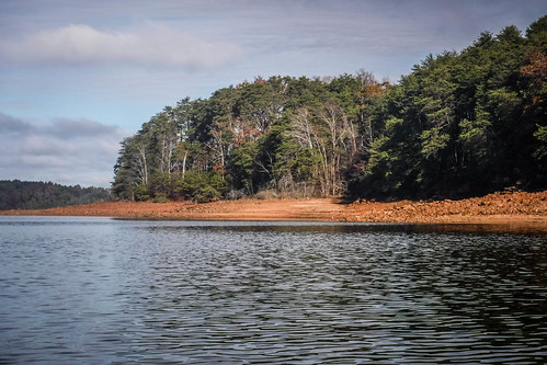
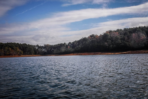
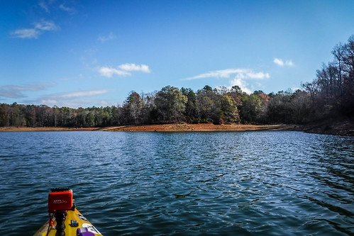
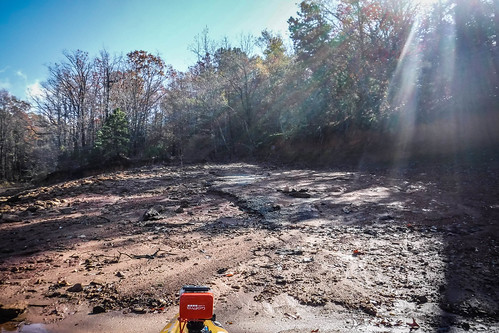
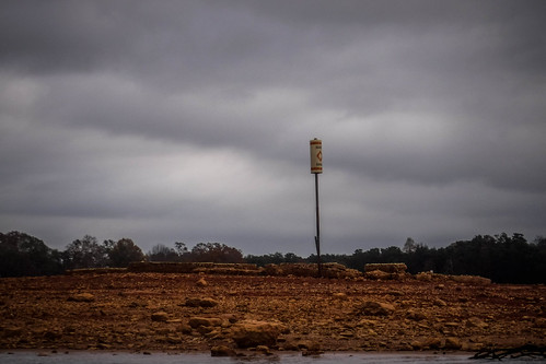
Lake levels, though, were extremely low. There was actually a sign on the Jarrett Landing ramp saying “Ramp Closed.” The water was too low for motor boats to launch, but it was great for kayaks. Mark had checked, and the lake is ten feet below full pool. Most telling were the floating docks sitting on dry ground and the Low Water markers that appeared to be suspended in mid-air.
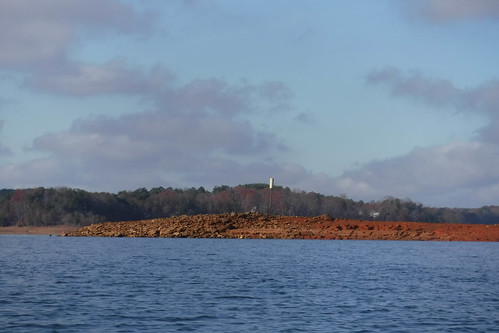
We were hoping that the low water would work to our advantage, exposing historical features that may have been hidden by the lake.
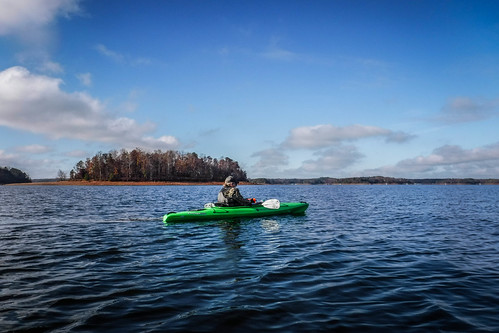
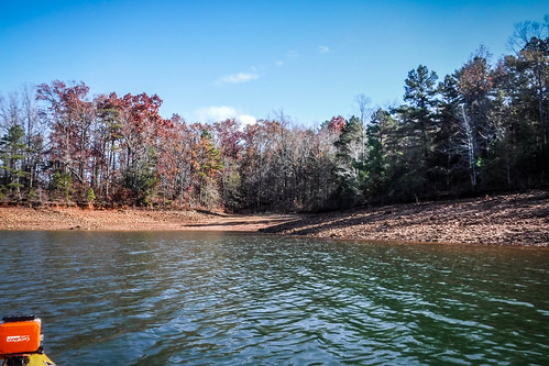
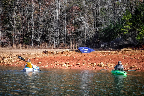
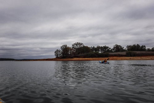
We made the short crossing from the landing to the tip of Andersonville Island with no trouble. The main body of water had a few ripples, but not bad. Bennie was getting the hang of his new boat, and loving it. We were both impressed with the performance of Mark’s inflatable. It kept pace with us with no trouble at all.
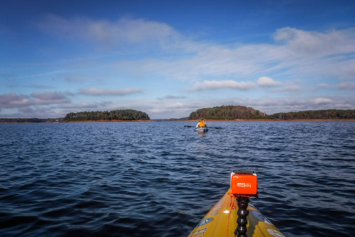
So far we were following the same path that Jim Leavell, Alan Russell, and I had taken on our first trek out to Andersonville Island. On that trip water levels were at full pool. That time we explored the small island just south of Andersonville Island. This time we headed straight to the larger island to check out the road bed we had found on that trip. With the water levels this low we could see that the road bed lines up with the narrow passage between the south island and another smaller island. On our last trip we had been able to paddle through this narrow channel, even though it was quite shallow.
One feature I’d spotted on my previous trip was a stone ring under the water. With the banks more exposed I could see that it was just a fire ring some camper had built from the natural stone nearby.
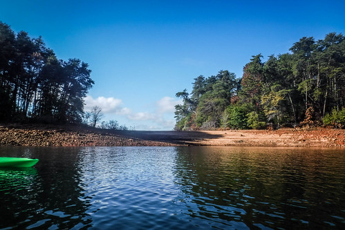
Mark really wanted to get to the north end of the island, so we didn’t linger at this spot. We had actually considered launching from a couple of other landings that would have put us closer to those locations. We continued north along the west side of the island. As with the previous trip, we could see the old road bed that runs along the spine of island as an elevated ridge, often bounded by rocks.
We passed several coves and eventually reached one of our POIs. This was where the Old Andersonville Road had crossed the Tugaloo River. The roadbed was very visible on the south side of a deep cove. However, another feature caught our eye. Bennie spotted a bright flash of blue and wondered if it was another kayak on the bank. As we investigated we found that it was a South Carolina-shaped rock painted blue with emblems from the state flag.
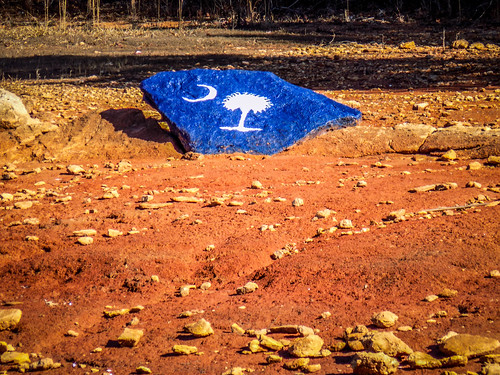
I don’t know if that was the natural shape of the rock, or if someone carved it that way. Regardless, it’s a cool landmark.
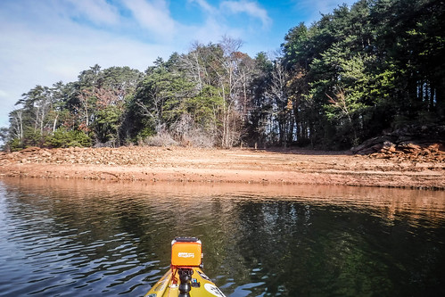
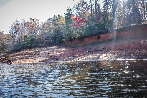
We paddled back around to the roadbed and thought that might be a good opportunity to explore. As I pulled up I could see the remains of asphalt paving, so I knew we were in the right spot.
I pulled up on what I thought was hard-packed sandy soil. I got out with no problem, but my colleagues weren’t so lucky. Bennie’s foot sunk into mire, which pulled him off-balance. He took a tumble into the water, pulling his boat over with him. I rushed over to rescue, sinking into mire myself. We managed to right his boat and spent the next 20 minutes or so alternately tipping and bailing his boat with my bilge pump. Mark managed to land safely, but still sank into the mire. It was a mess.
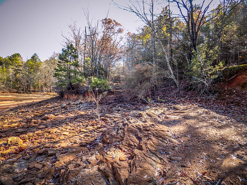
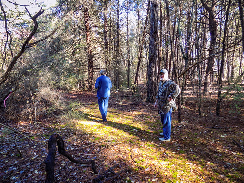
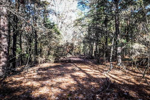
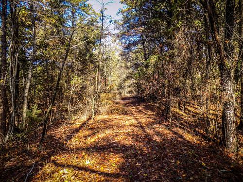
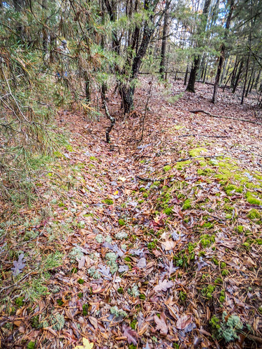
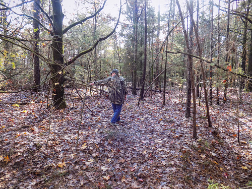
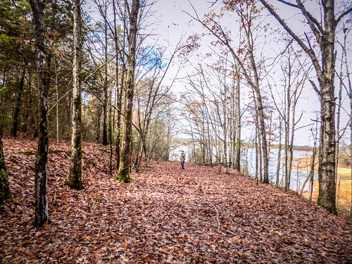
We decided that an exploration on foot might be best and would allow time for Bennie to dry out. We started walking up the roadbed, making note of the paving. The road had collapsed at one point. Mica-flecked schist lined the beach and the edges of the roadway.
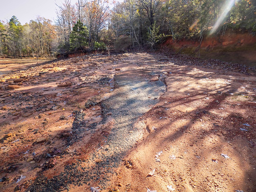
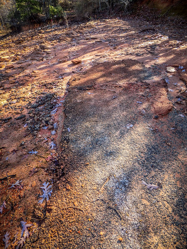
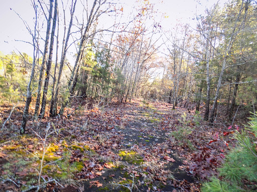
We had certainly found ruins in the form of this roadbed, but these certainly couldn’t be attributed to Andersonville. The old town was long gone before the roads were paved. This had to have been from the early 20th Century. This road is even named “Old Andersonville Road” on some of the maps.
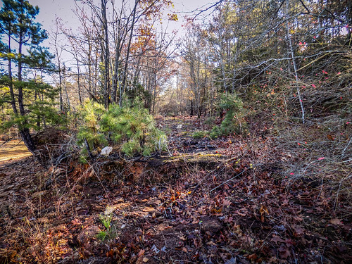
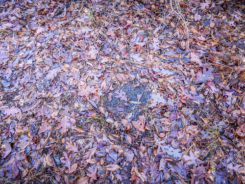
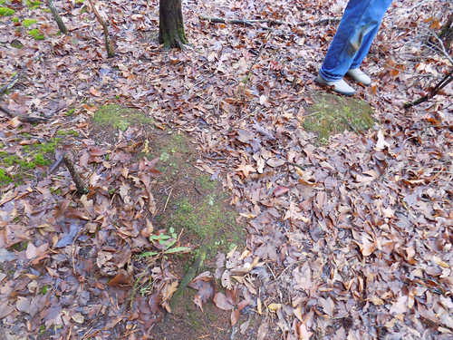
We found the point where the road intersects the main north-south road across the island, exploring first south, then north. Bennie found some stones that might have been foundation stones. There were other clearings that looked ripe for home places. I’d like to come back with either a metal detector or in the spring when daffodils are in bloom to see if there’s anything interesting.
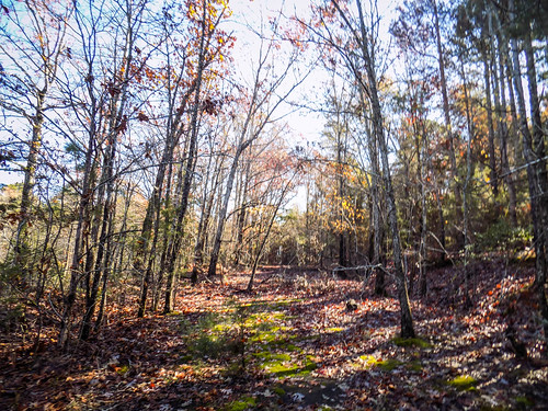
We continued north until we reached another intersection we had marked on our map. The topo maps indicated that this was an unpaved road, so we didn’t find additional asphalt. We did find a deep path marking the roadway, and at one point there were some ridges and rather firm bumps that might have been a house foundation.
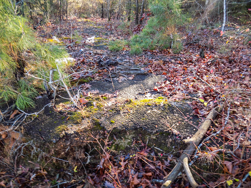
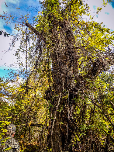
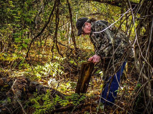
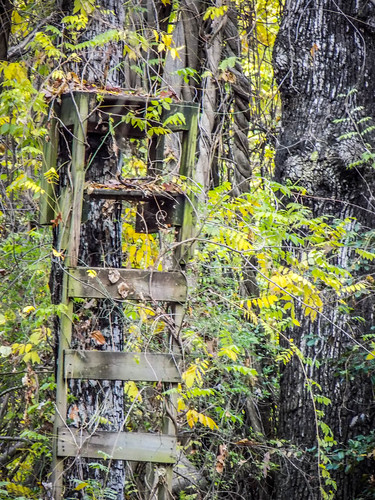
Doing some bushwhacking we reached what would have been an ideal home place with a large old oak tree. Bennie found a plank, but it was obviously a piece of modern milled lumber with modern nails. A bit later we found a makeshift deer stand on other tree, which might explain the lumber.
We made our way back to the boats and had a bit of lunch. Bennie’s sandwich had survived the dowsing. Afterwards we loaded loaded up. We all sunk into the mire a bit, but managed to launch without catastrophe.
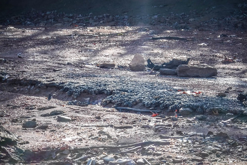
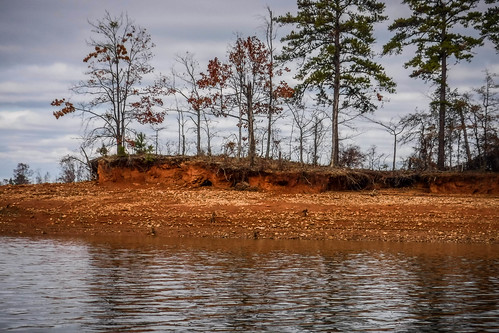
I noticed that on the banks the erosional patterns left lines of exposed mica schist, similar to what we had found near the roadbed. These almost looked like walls or some other manmade structure. However, they are just natural features. I began to wonder if some of the reports of “ruins” were actually natural features. I can’t say for certainty, but I wouldn’t expect to find stone structures here. I would expect to find brick and wooden remnants, if there were any to be found.
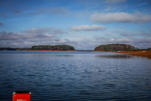
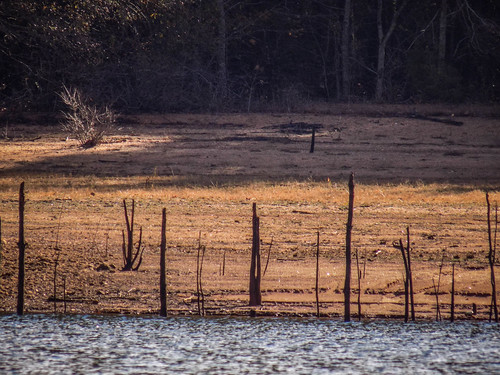
We rounded another eroded point and reached another deep cove. This is the narrowest part of the island, with an isthmus the width of the road connecting north to south. If it weren’t for the road, it would be two islands. Beyond that is an open field that had obviously been logged at some point.
Mark and I both would have loved to have explored this section. This clearing was the site of the Morris Shoals School. GNIS data actually shows two locations for the school. Mark speculated that one may have been the black school and one the white. I don’t think so. I found a few news articles that describe it as a one-room school in the 1930s. By the 1950s there was a move to consolidate this school and nearby Double Springs School with Townville School. The number of students from each school cited makes me think that the one-room building was replaced with a larger one further up the island (which wouldn’t have been an island back then.)
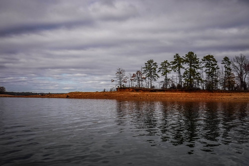
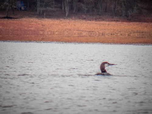
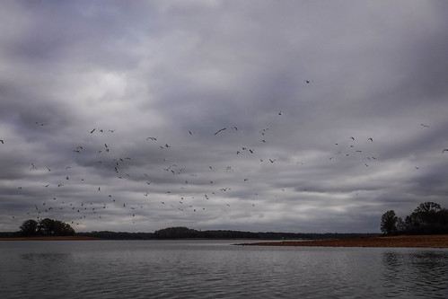
It was getting later in the afternoon, but we decided to try for a circumnaviation of the island. We continued northward at a fairly quick pace. Along the way diving birds kept popping up, then diving back down around us. We got close enough to see that these were loons. We even heard their distinctive call a couple of times.
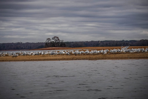
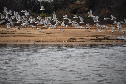
At the north end of the island was a long exposed spit. A large flock of seagulls was playing a gig gathering on the spit. They leaped skyward when I approached. Bennie said that he thought these were permanent residents of the lake.
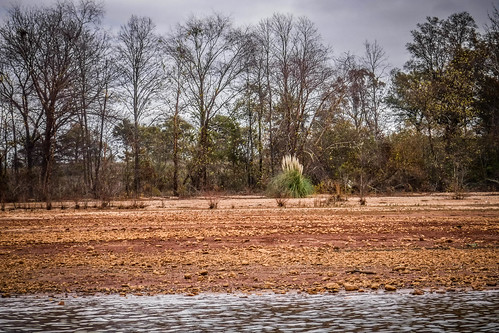
The north end of the island looked more interesting than the south end. There was more cleared space, and what looked like a wrecked pontoon boat, perhaps brought by recent floods. More telling was the presence of pampas grass, usually an ornamental not native to the area. There might have been a homestead there. Mark pulled over to adjust his kayak, but Bennie and I didn’t land.
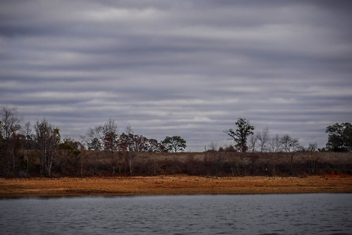
While Bennie and I waited I checked my GPS and saw that I had broken my 200 mile goal for the year. I also saw that we were 3.24 miles from Jarrett Landing, as the crow flies. Even if we maintained a 3 mph pace, which is harder than it sounds, we would be getting back after 3:30. We needed to get a move on and couldn’t hang about. That also meant no more exploration on foot. Also, it had gotten very cloudy and the breeze was picking up. Temperatures were starting to drop, and the last thing I wanted was to be stuck on this lake after dark.
From here on it was pretty much a slog all the way back. I set a quick pace, but Bennie and Mark managed to keep up. I’m a firm believer in the efficacy of old work songs to set a pace. While not old, Grace Potter’s “Nothing but the Water” makes for a perfect paddling song.
Most times I just like to enjoy the nature sounds while I’m paddling. This time I pulled out my iPhone and fired up the Grace Potter album.
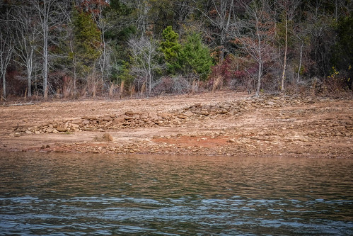
As we were just around the corner from our take out we spotted another one of those low water markers suspended in mid air. However, at the base of this one was a set of stones. These were actual ruins, and not just a natural stone wall. We had paddled nearly ten miles and come full circle to find our ruins just around the corner from our put-in. It figures. While we didn’t get out to explore, Google Earth confirmed that this wasn’t a nature arrangement.
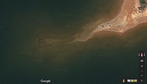
At this point we have not identified these ruins – another mystery for another exploration.
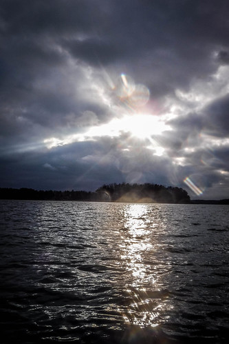
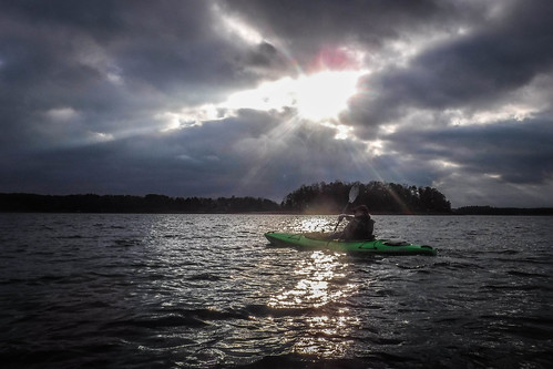
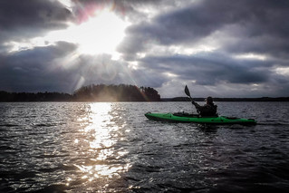
Just as we were rounding the point to head back to the boat ramp the sun broke through the clouds. It bathed Bennie with a halo that I just couldn’t help but photograph, if only for the irony thereof.

We made it back right at 4:00 pm and got loaded up and said our goodbyes to Mark. We had paddled 9.8 miles, putting me a little over 203 for the year.
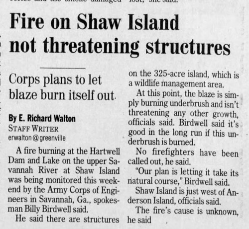
This trip whetted our appetite much more than my previous visit. There is much, much more to explore. Comments from Tyler Chapman and others indicated that we really should check out Shaw Island, which we can reach more easily by launching from Double Springs Landing. A 2007 Greenville News article even confirms the presence of structures on the island.
We’ll certainly check those out next time we’re here.
The entire photo album that I took can be found here:
Mark’s photos from the trip can be found here:
UPDATE: Mark has finished his excellent write-up of the trip. You can read that here.
What a great day on the water (and the island)! Wish I could have joined y’all.
Alan, I was considering going back to explore what we missed at some undetermined date in February if you and the paddling crew would like to plan another trip.
Hey Guys, If you get this note, I really enjoyed this site. When I was a boy, during the 1940’s, before the lake was built, I used to go swimming with my family at Andersonville near the site of an old ferry. There was still an old cable across the river at that point. I don’t remember much else, I was so young. But I do remember old buildings along the road down to the river. It was all covered up by the lake, too bad.