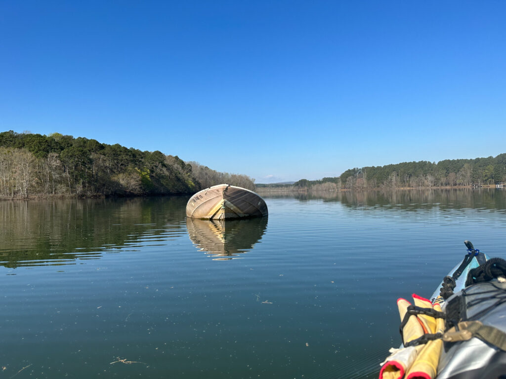
Just south of the mount I spotted an old sunken boat. As I mentioned, this part of the lake is very shallow, so the bow of the boat was sticking out of the water. Of course I had to check it out.
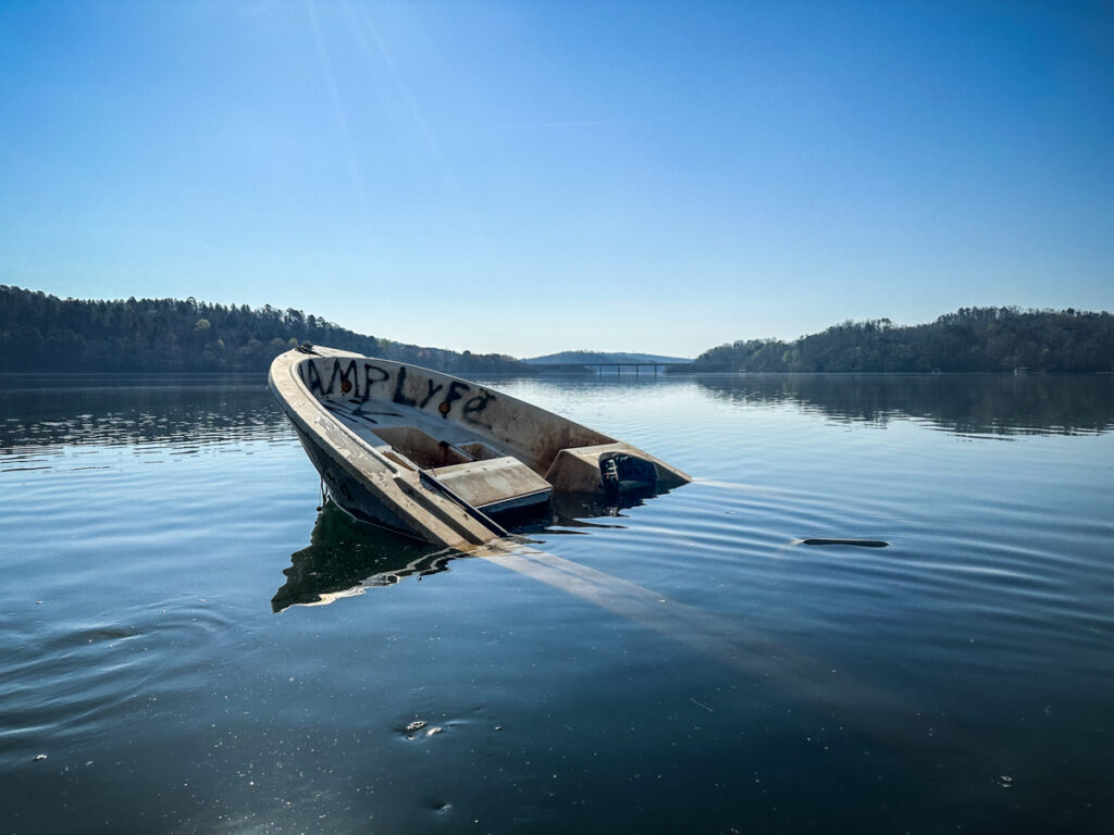
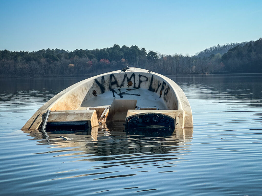
In addition to the vandalism, it looked like the boat had been stripped of anything of value.
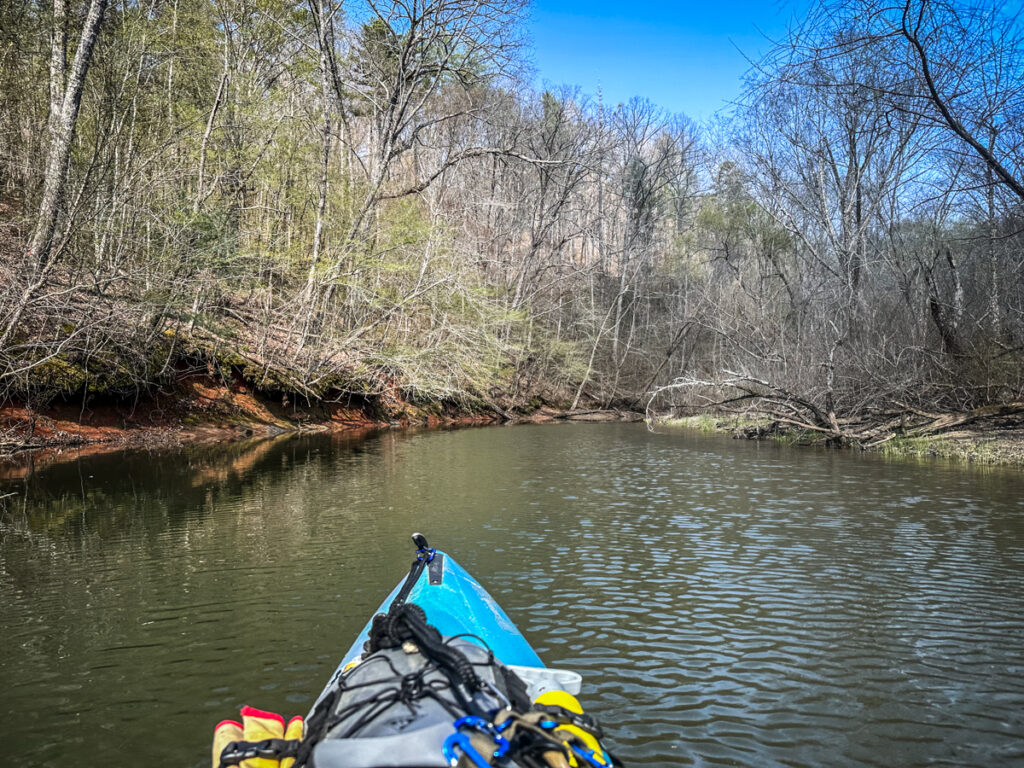
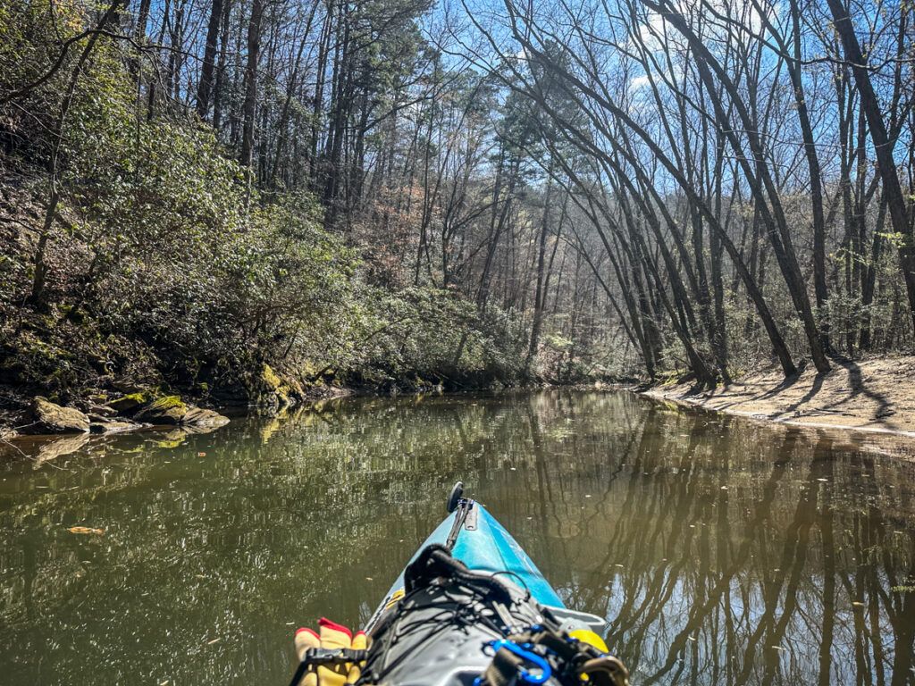
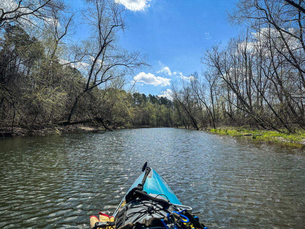
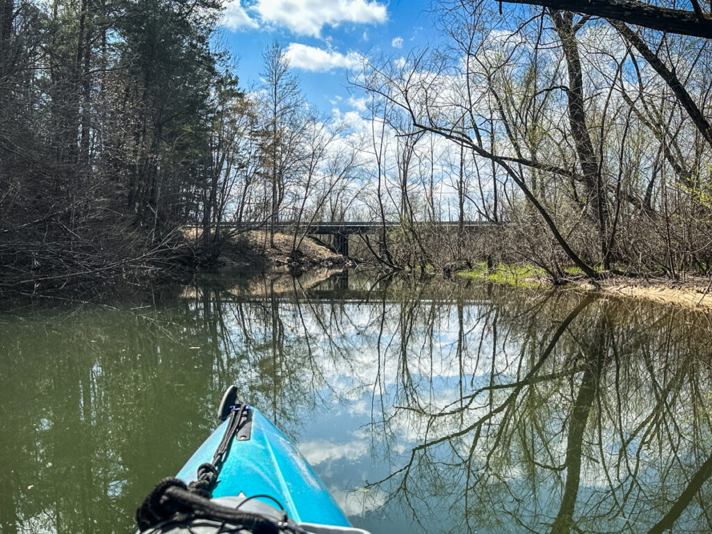
I continued on my way. The last time I visited the falls I had a hard time finding the entrance to Long Nose Creek. This time I thought I’d gone the right direction, but was stymied by trees blocking the path. My first thought was that these had grown up since my previous visit, but soon I was able to find a way through by approaching the River Road bridge from the upstream side.
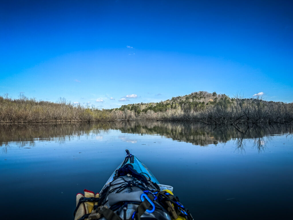
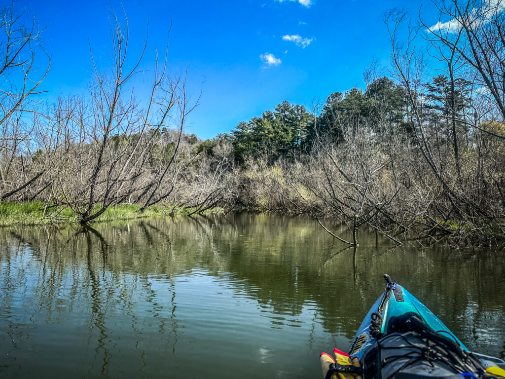
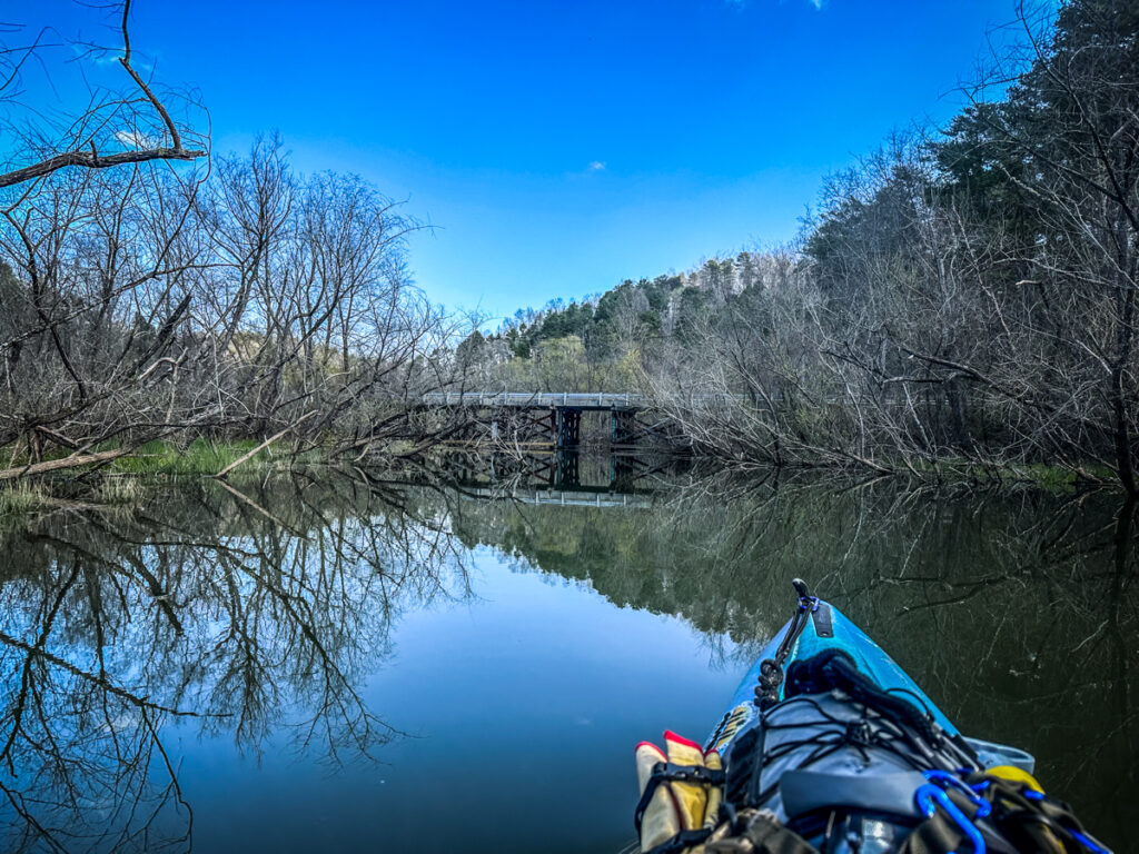
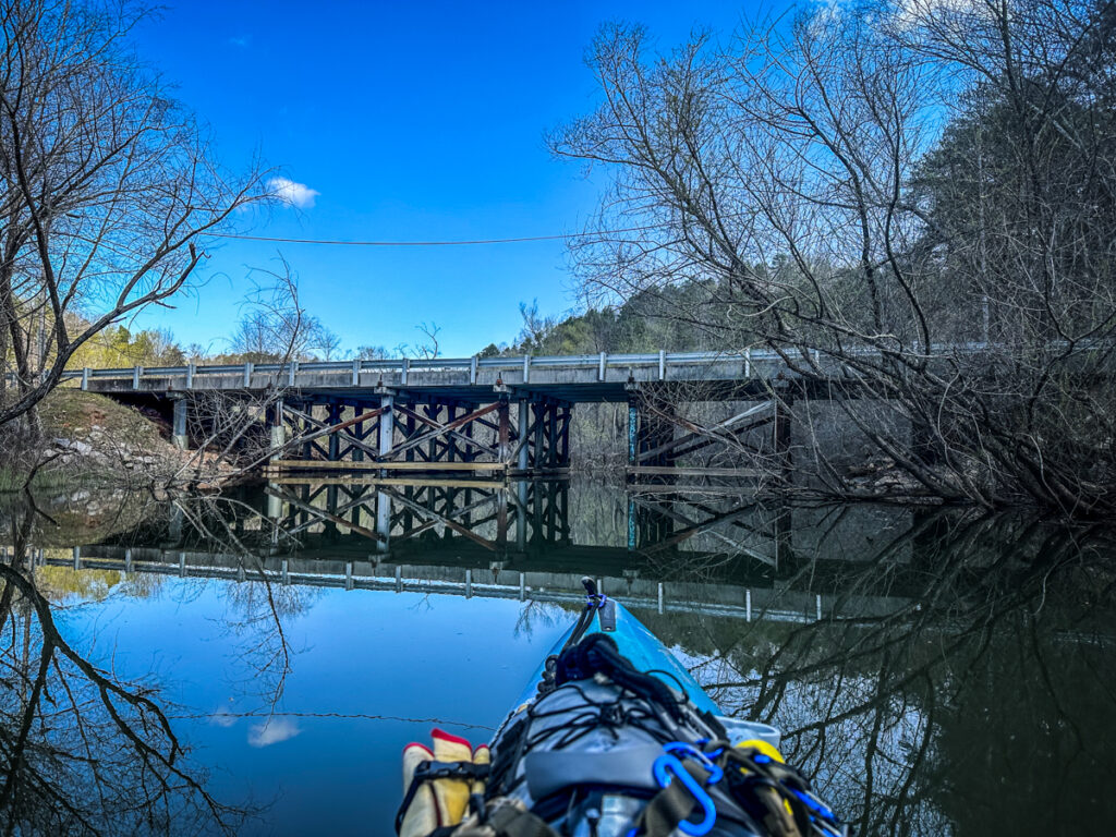
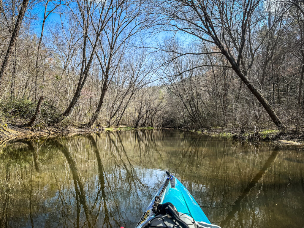
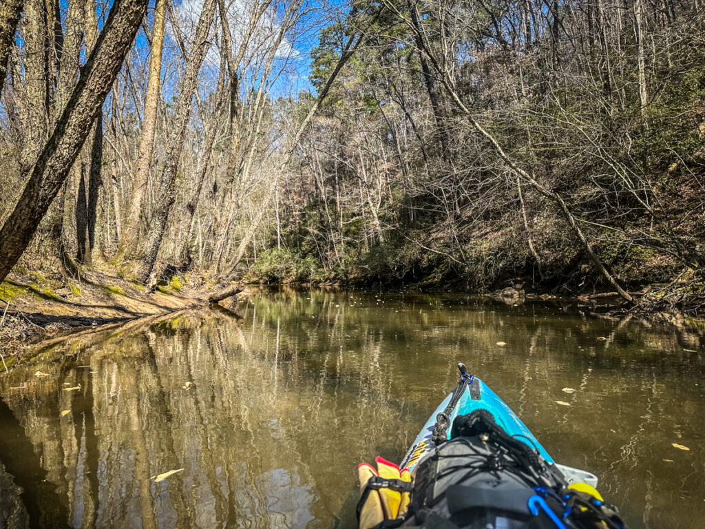
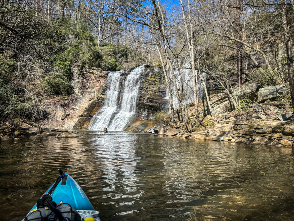
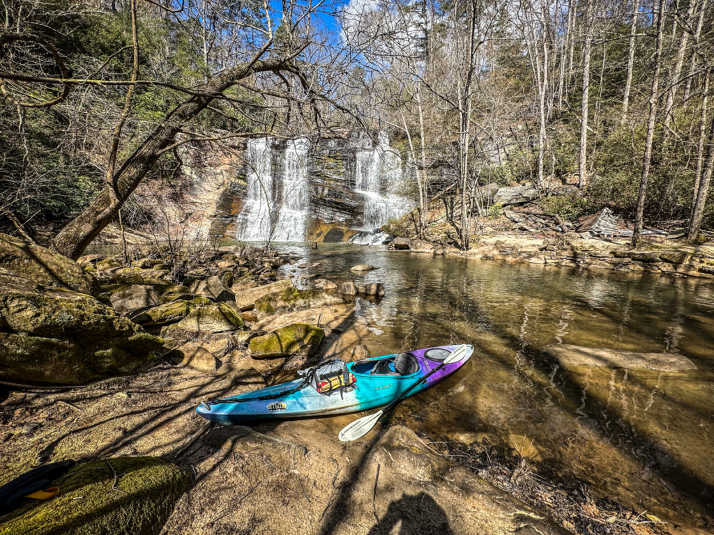
Beyond the bridge the stream up to the falls is absolutely gorgeous. The water was much lower than my last visit so I had to pick and choose my way through, but it was no less scenic.
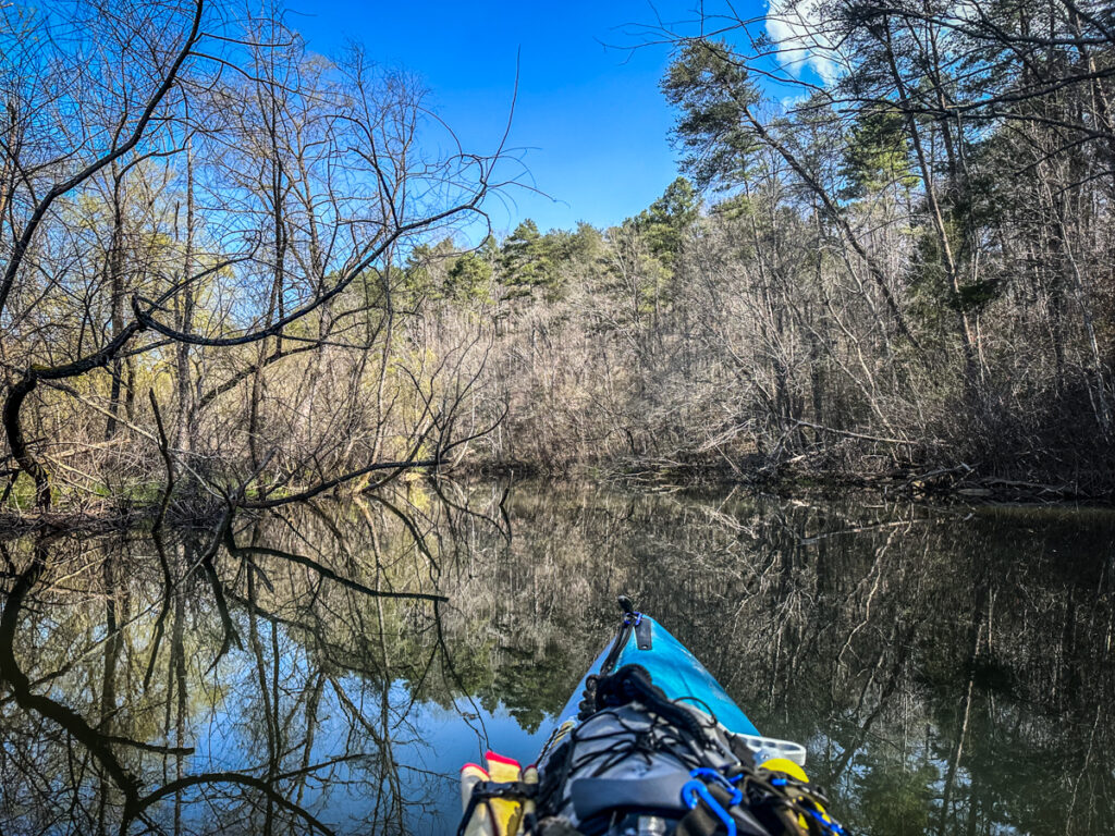
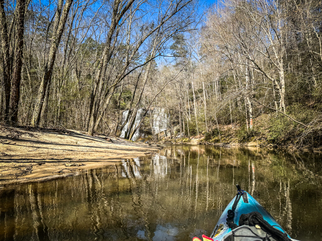
The falls themselves did not disappoint. I could have stayed there all day. I pulled up onto the beach at the base of the falls to eat a sandwich and just take in the atmosphere.
There is a rather dramatic concrete house across from the falls. On this visit there were fewer leaves, so I could see more of it. This time it looked almost abandoned, or, at least, unoccupied.
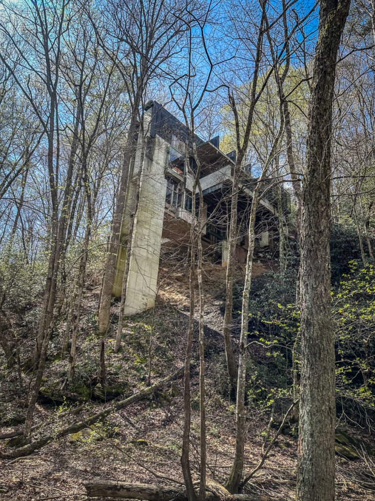
I looked at the county GIS records and it looks like this plot of land is owned by a corporation. When I looked in Google Earth it appears that this isn’t the main house on the property. I’d love to find out more about its history.
I could have stayed here the rest of the day, but it was time to head back. I retraced my route down the creek.
Out on the lake I found the correct opening onto Long Nose Creek from the lake and marked it on my GPS. The breeze had come up, so I paddled on back to Stephens County Park without pause. The trip was about 7.25 miles. I had proved that it is doable from Stephens County Park and a throw-in from River Road isn’t required.
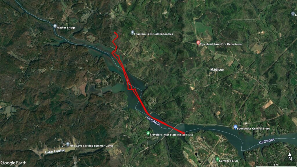
Sometime I’d like to do another point-to-point trip down the Tugaloo. I’d love to put in below the Yonah Dam and paddle down the Stephens County Park. It looks like it would be about 10 miles, but I’m sure we would increase that length by exploring other side channels in addition to Long Nose Creek.
The house is an Airbnb! My husband told me this past weekend when we went. I don’t know if the link will work, but here it is
https://abnb.me/ByTHq8RxFzb
How far can you journey slowly on a jet ski?
I think it depends on the water level. I didn’t see any obstruction, so it should be fine.
The U. S. Army Corps of Engineers holds copies of Caldwell’s report. I obtained in 2006, while doing research for the Muscogee-Creek Nation. I have moved several times since then and in the process misplaced it. However, I do remember, in addition to the information, which you provided that there were eight mounds on the island and three mounds on the Georgia side of the river. A small portion of the plaza was re-occupied by Uchees in the early 1700s. It contained about 100 people in crude round huts, when visited by Indian Agent, the Rev. Charles Wesley. in 1737. He was looking for Cherokees, but found none living in Georgia.
Tugaloo was also excavated by Cyrus Thomas and John Rogan of the Smithsonian Institute in 1886, plus archaeologist Robert Wauchope in 1939. Wauchope’s “Archeological Survey of Northern Georgia” contains professional-quality information on Tugaloo. Tugaloo is the Cherokee-nization of the Archaic Irish Gaelic words Tokah-re, which mean “Principal People.” They were the same branch of the Uchees that are labled Tocoree or Togaria on Colonial Era maps of eastern Tennessee