I thought I had missed the opportunity to view the rocky shoals spider lilies for this year. I had seen social media posts about them with photos, but I was afraid peak bloom had already passed. Last weekend was Lilyfest at Landsford Canal State Park, so I hope I hadn’t missed all of the action. Even so, I didn’t think I’d get to see them this year until I got a spur-of-the-moment invitation from Alan to paddle the park with one of his cousins.
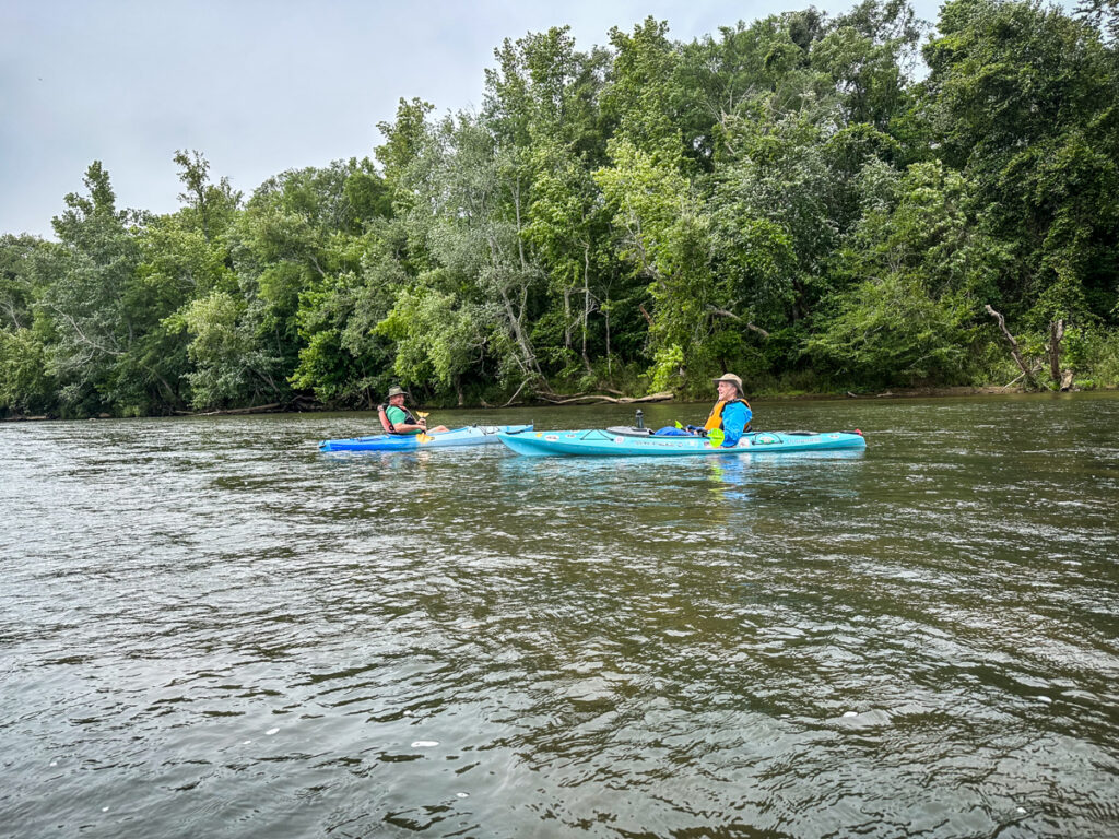
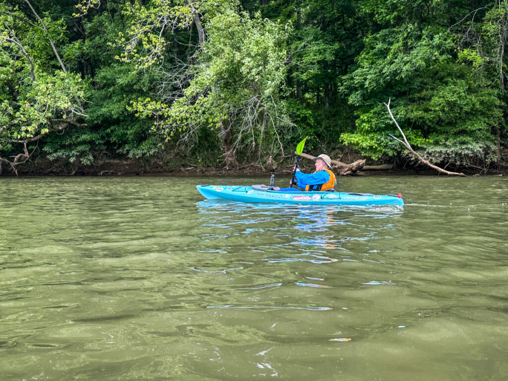
It’s been several years since I’ve paddled Landsford Canal. The first time I did it by myself, just leaving my boat at the put-in and hiking back the trail from the take-out. The second time it was with the Catawba Riverkeeper Foundation during the 2017 Lilyfest. This time Alan and I would be meeting his wife’s cousin’s husband, David, for a much longer paddle on the Catawba.
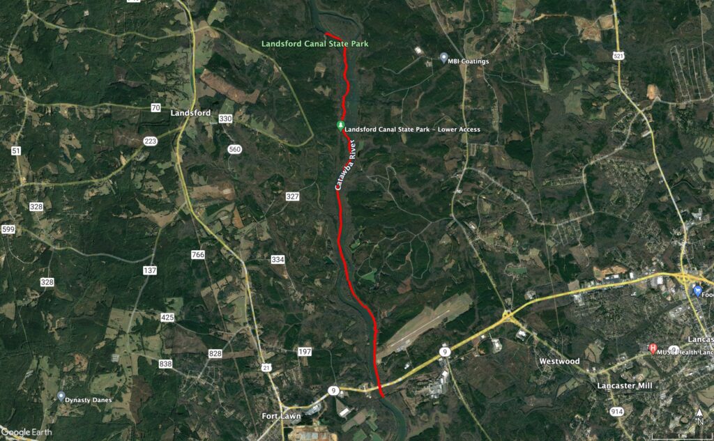
Our plan was to meet David at the Highway 9 Landing, 6 miles below Landsford Canal. That would give us a much longer time on the river and a chance to experience more of the Catawba. We met at the take-out, loaded David’s boat onto my trailer, then drove on up to the state park.
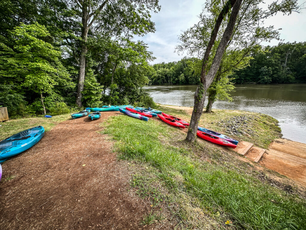
When we arrived I was surprised to see that they had developed a new access area for paddlers. There was plenty of parking, including spaces for vehicles with trailers. Apparently this opened in 2018, the year after my last visit. A tour group was just getting ready to launch as we unloaded our boats. We eavesdropped on their safety briefing.
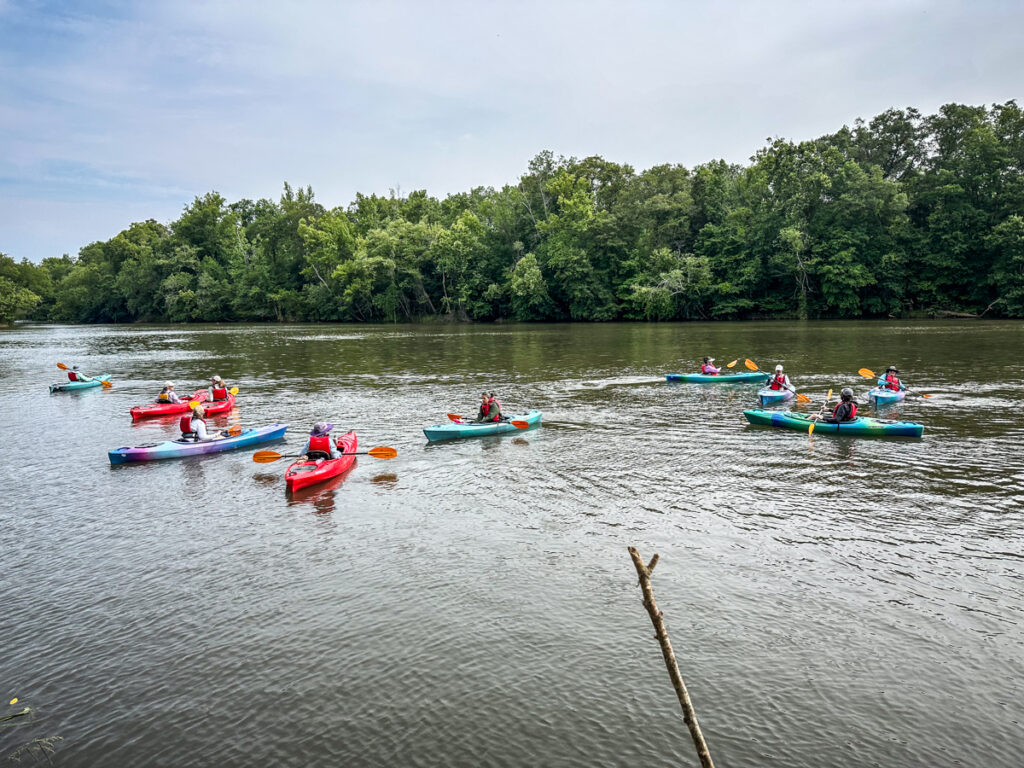
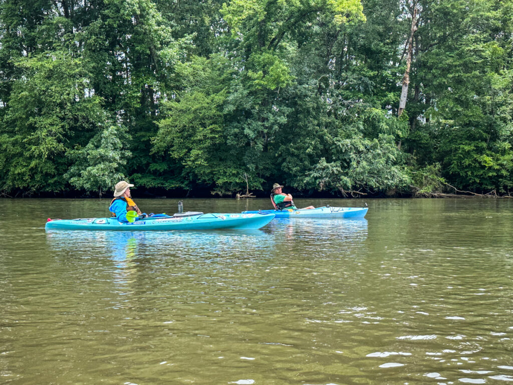
My friend Mike Vaughn from Great Falls Adventures arrived with another trailer full of kayaks. He was running a couple of tours and invited us to tag along. We fully planned to do that, but then his plans changed. Mike and his fellow paddlers would be heading upstream to catch the narrow channel on the other side of the island across from us. He said that would add about another hour to the trip. Since we were already planning an extended trip we opted to go it on our own. Mike gave us some suggestions for the best route through the shoals and lilies, then we set off.

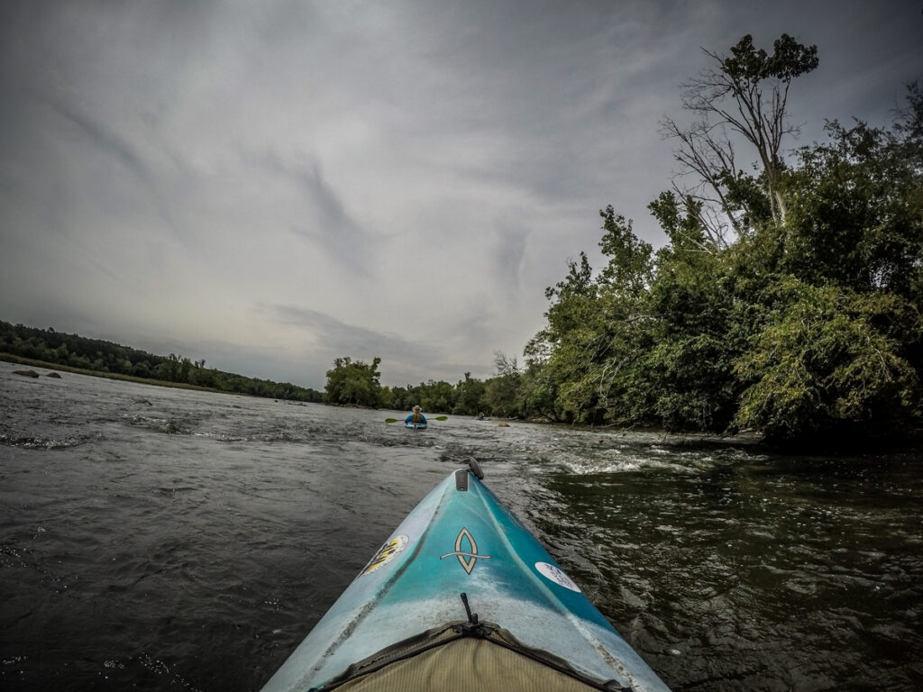
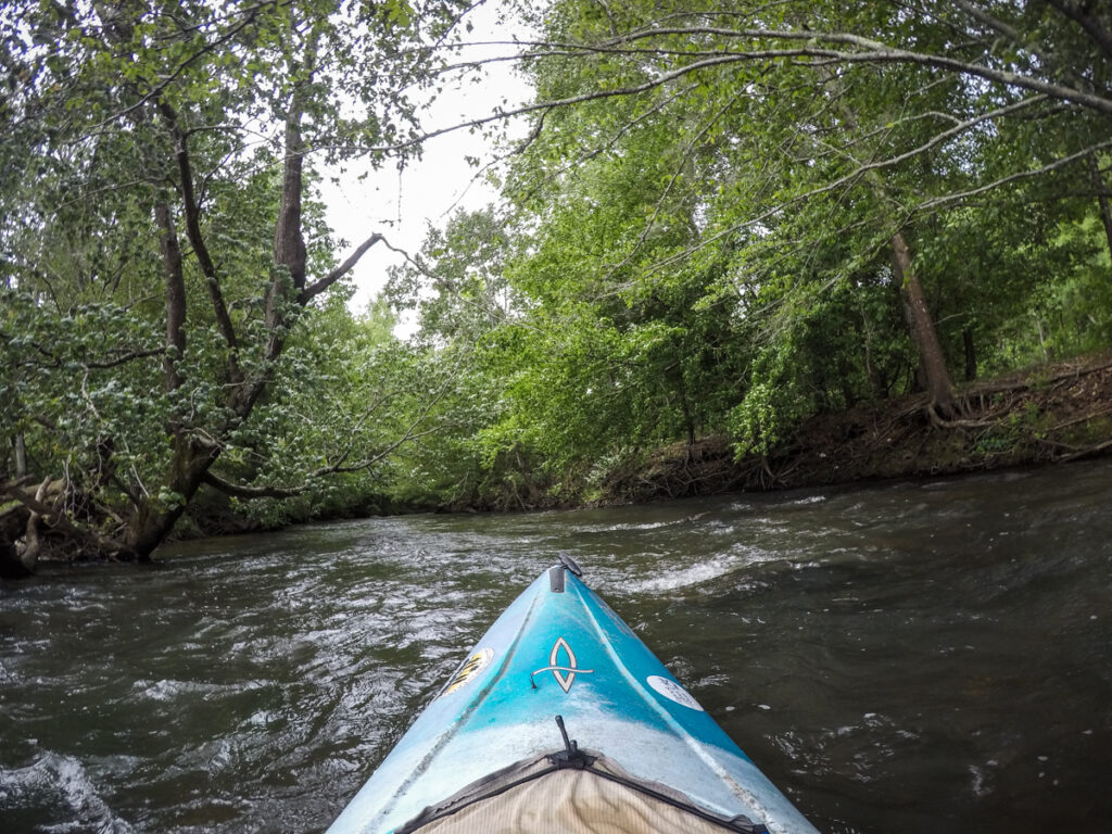
Mike’s instructions were to go left of the first island, go over the first two drops and head river right, then veer back left into the lily fields. First two drops?? He also said we would have to zigzag to make our way through the shoals.
The first “drops” were only a foot or so each. They were fast and fun, but nothing beyond our abilities.

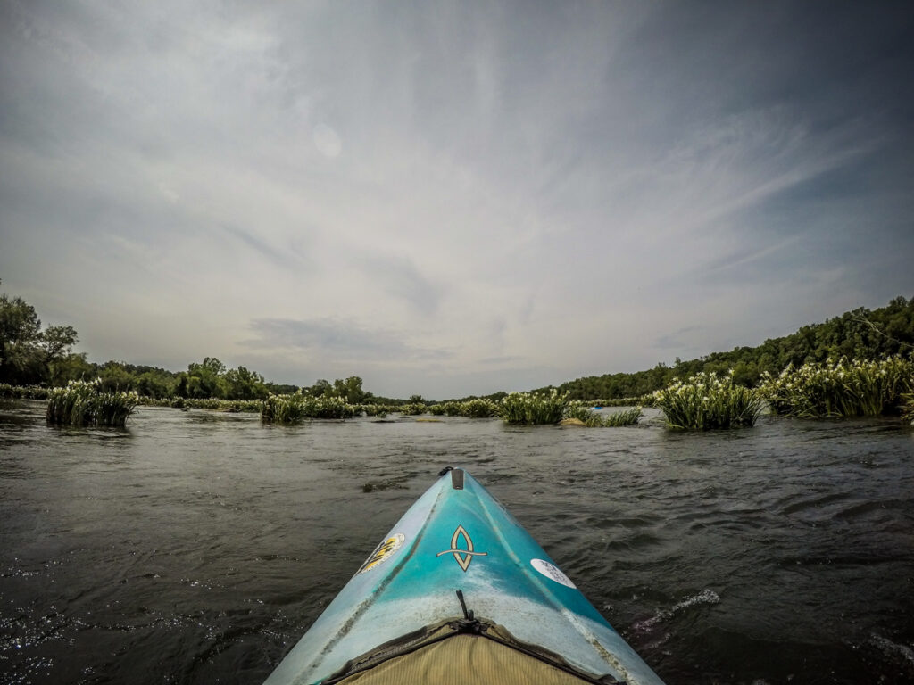
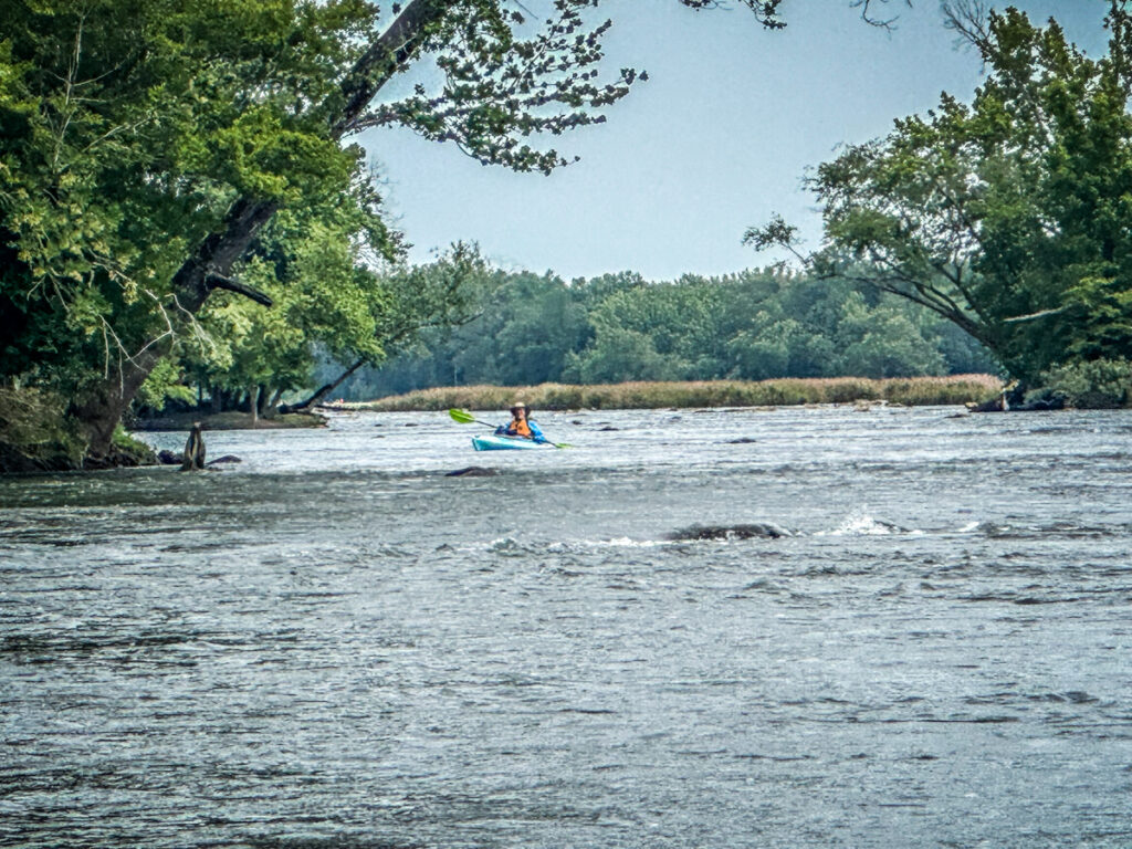
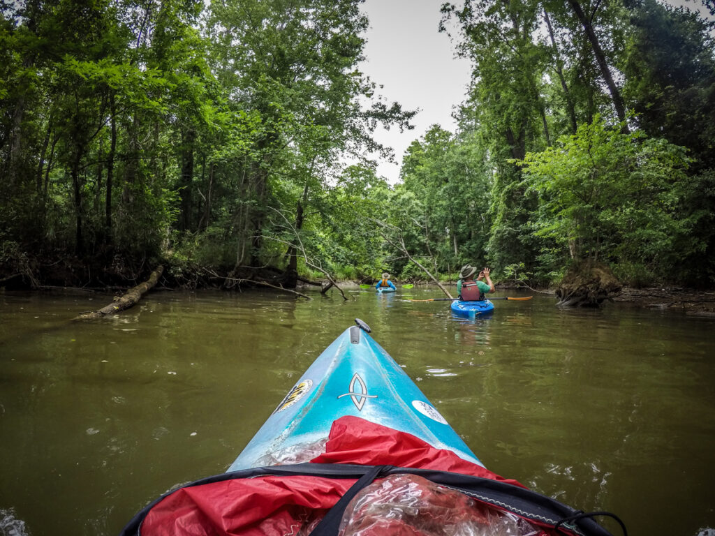
Soon we were into the lilies. As I discovered last time, the water is moving far too fast through tricky rock channels for decent photography. I would catch an eddy behind a rock to take some close ups, but the strong wind from the north would blow me back into the current. I did manage to get a few pictures, but I was glad I had the GoPro going so I could concentrate on paddling.
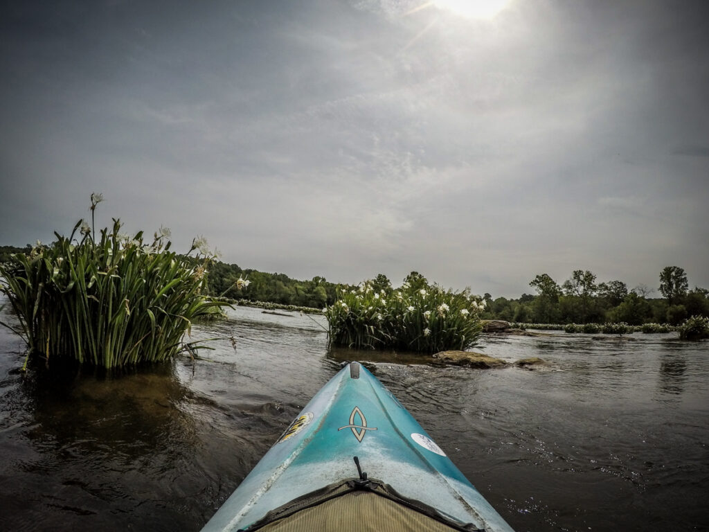
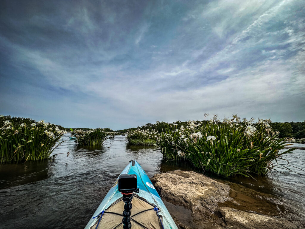
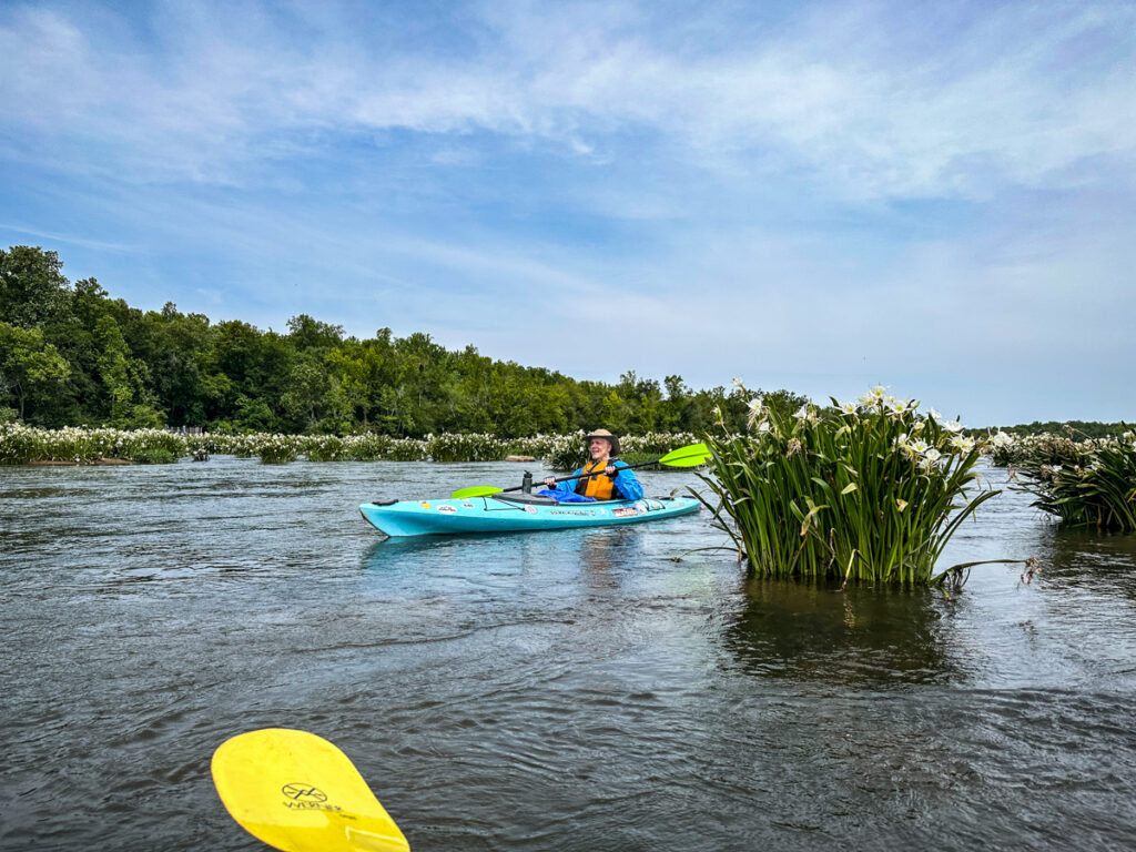
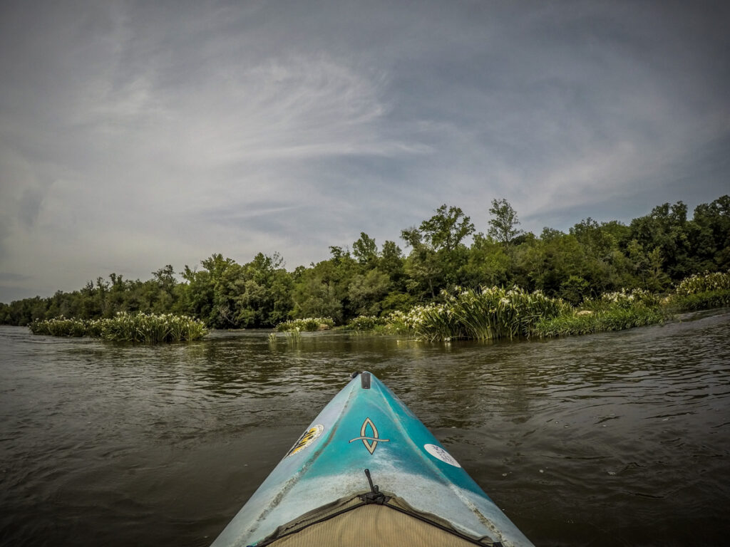
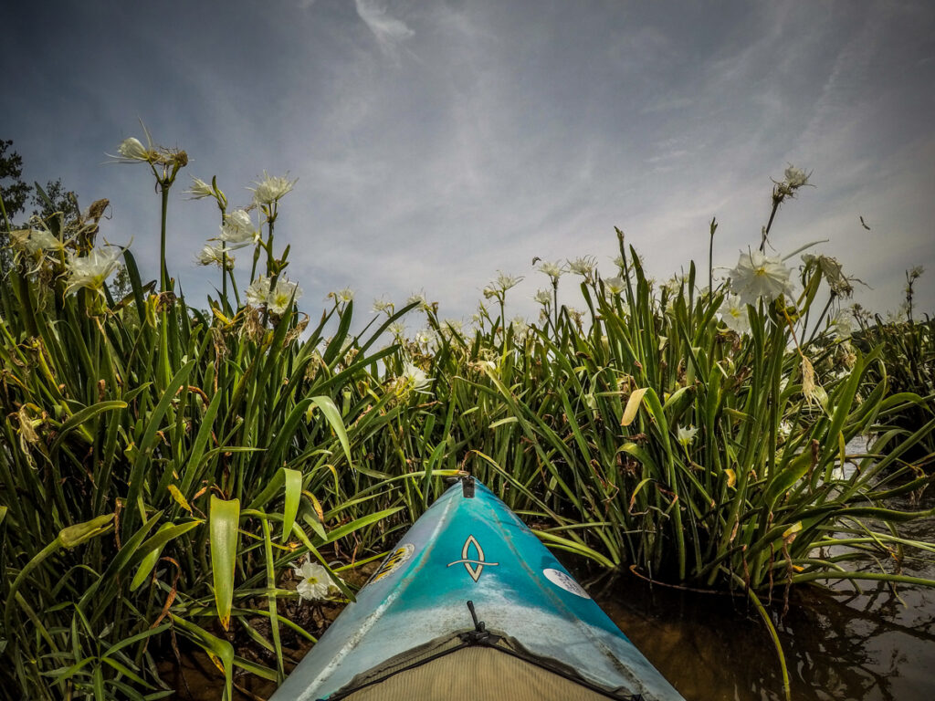
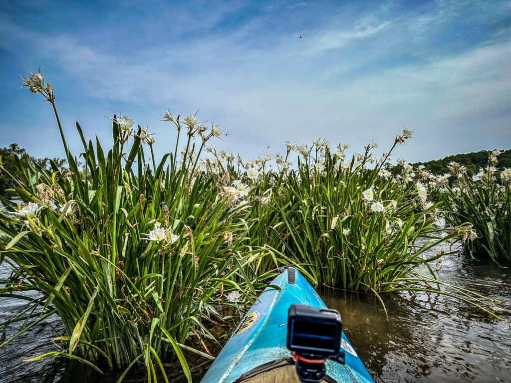
We were through the shoals and lilies in what seemed like no time at all. Alan asked, “Is that it?” I told him that we didn’t really hang about to admire the flowers, so, yeah. In truth, the conditions made it difficult to pull up and just hang about.
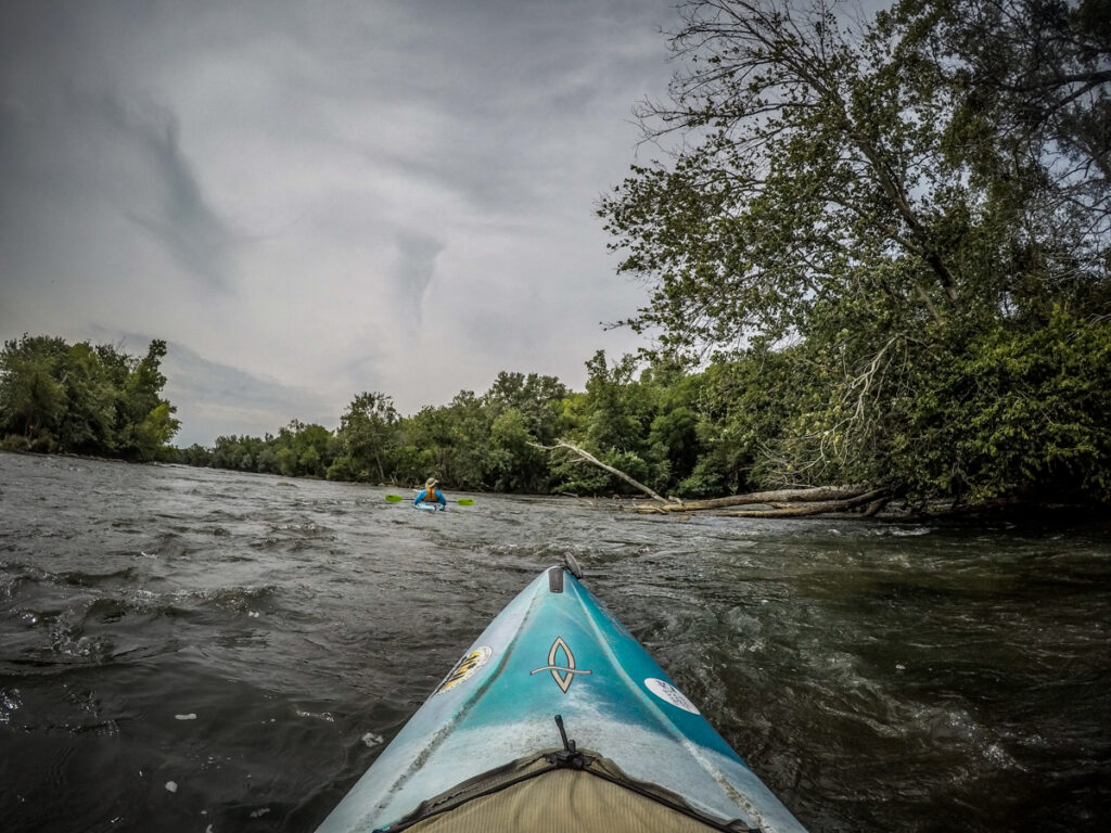
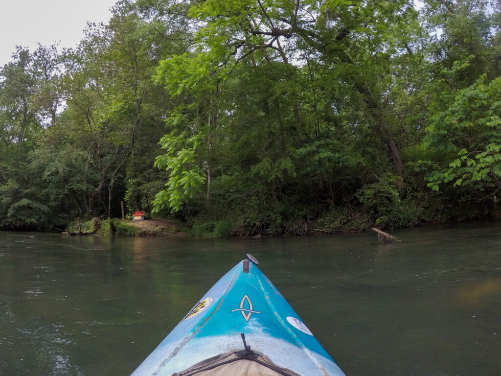
At this point we had to make a choice. The lower take-out for the park branches right through a narrow channel. The main river flows river left, and there was another small middle channel between a couple of islands. I remembered there being a couple of fun little rapids next to the take-out, so I took that route. David took the middle route, and Alan opted for the open river.
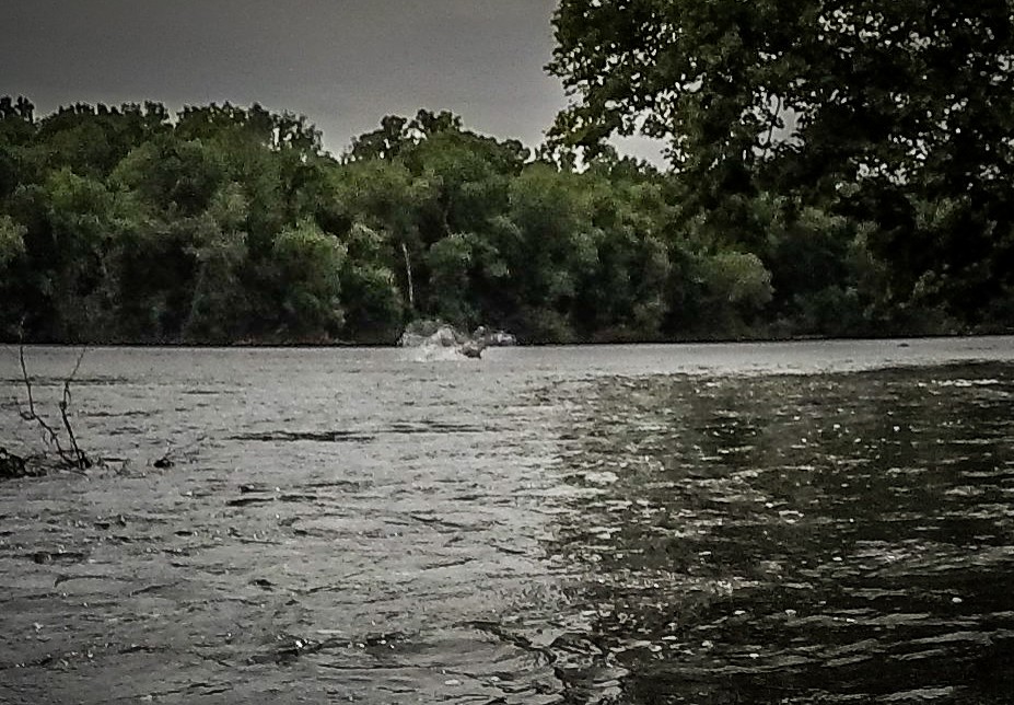
At the end of the channel where it enters the main river I heard a loud splashing sound and looked up to see a deer running through the river from the island to the right bank. David came around the other side of the island at about the same time. We looked, but the deer was long gone and the only shot we had was from the GoPro.
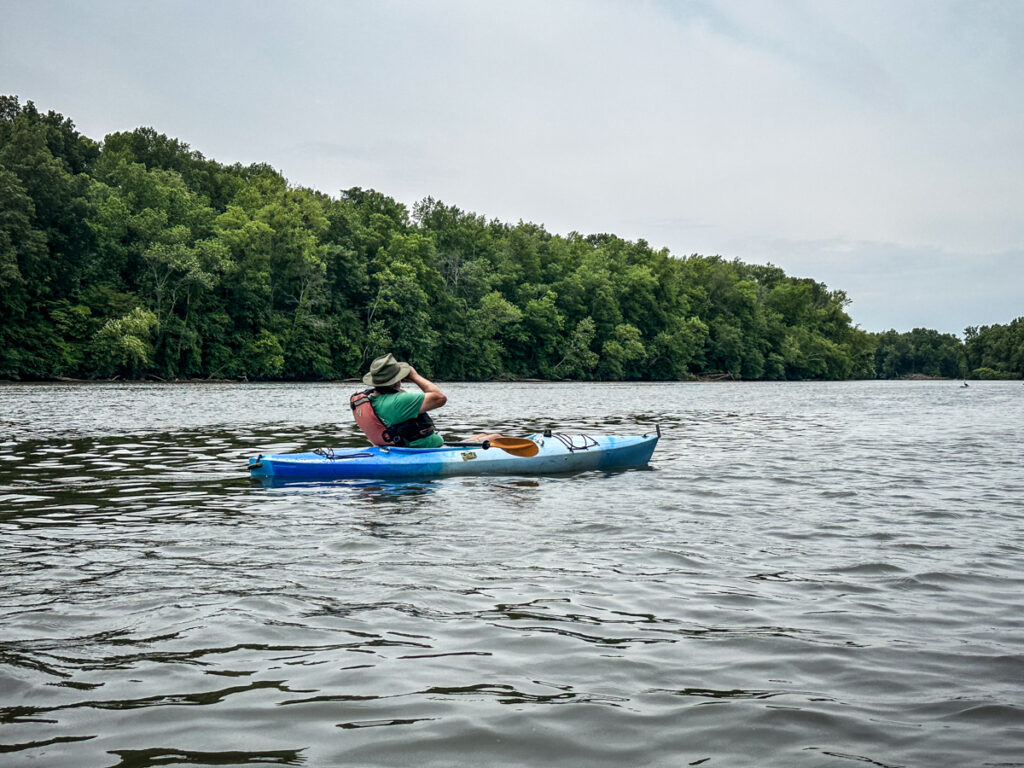
It was taking Alan a bit longer to join us. He had run up on some rocks and had some difficulty getting free. I pulled up in an eddy behind a rock to wait for him to catch up.
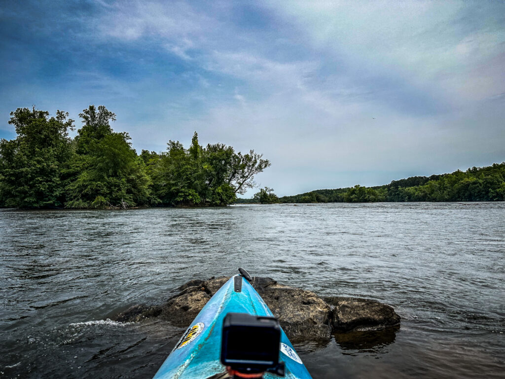
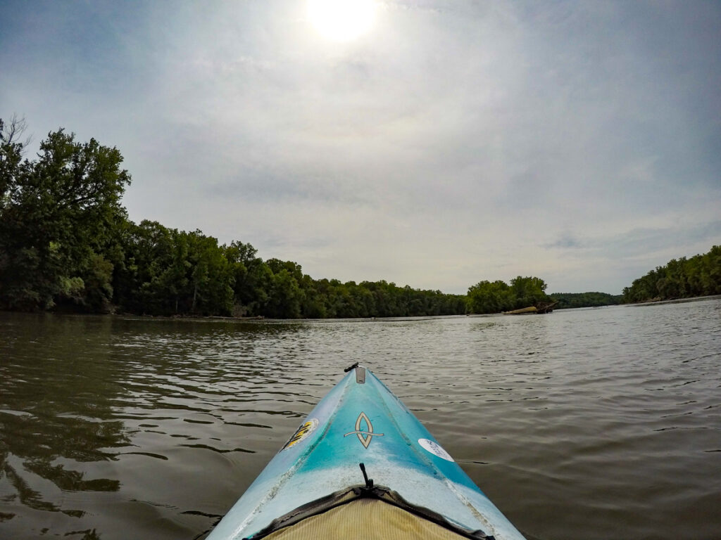
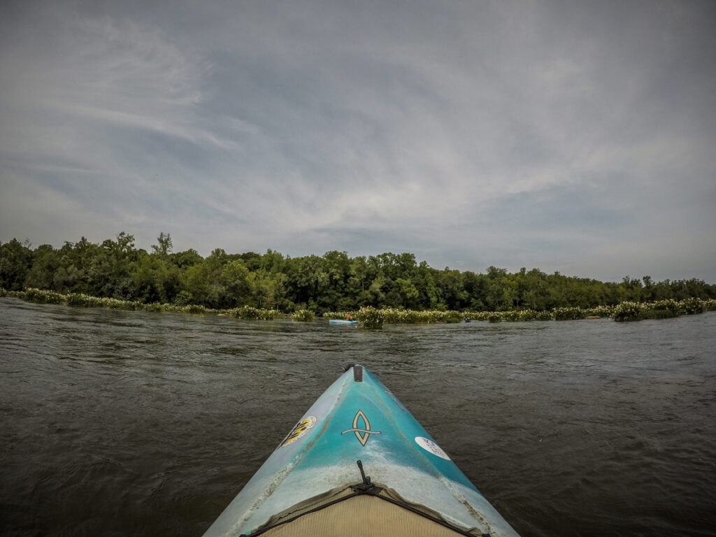
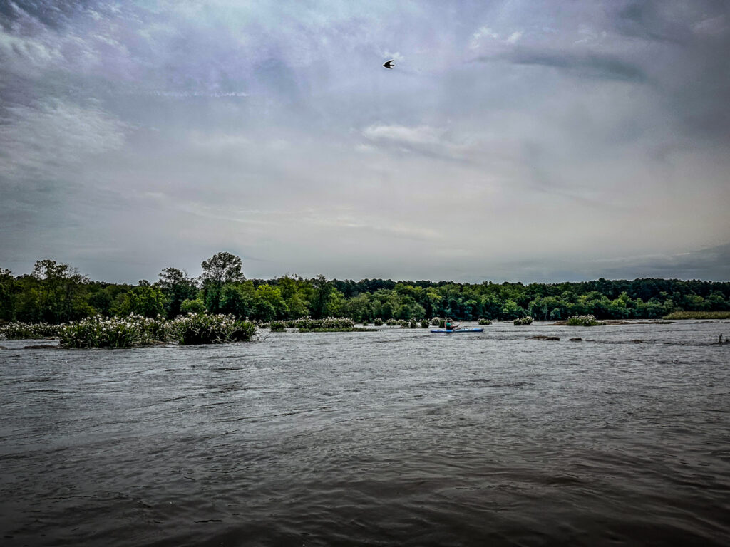
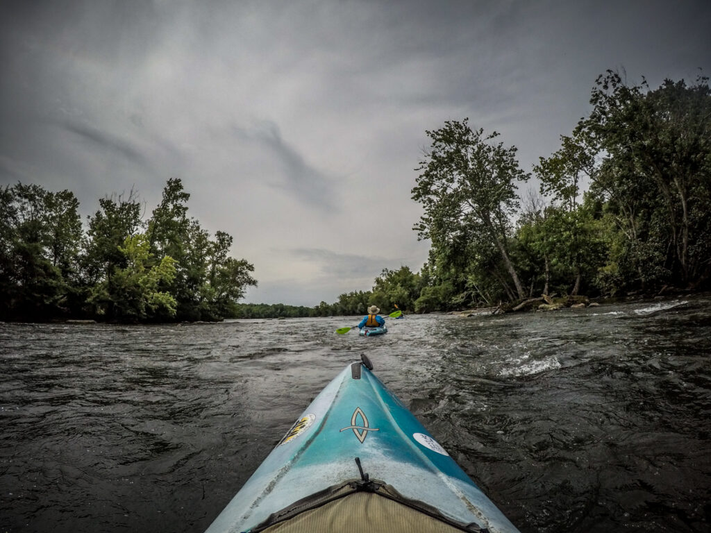
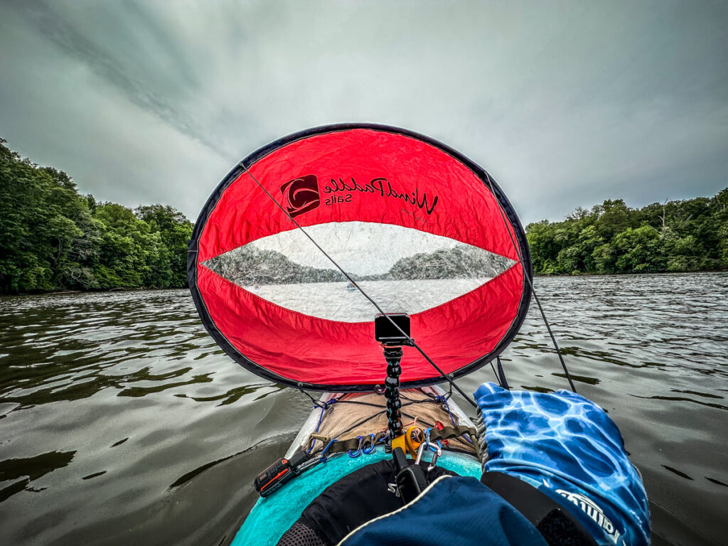
We had reached the end of the shoals. The current was still swift, but from this point we had mostly flat water. We also had the wind at our backs, which was a big help. I deployed my sail for a bit, but it got to be more of a hassle than a help.
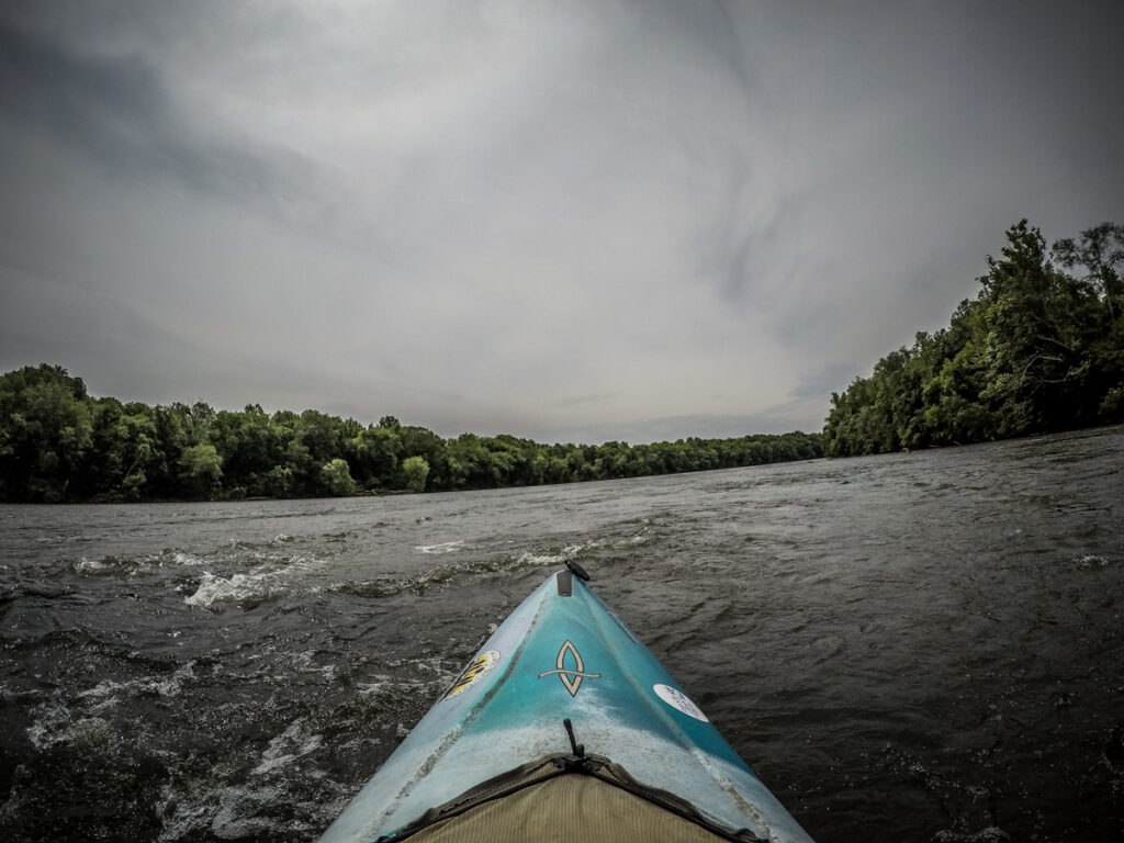
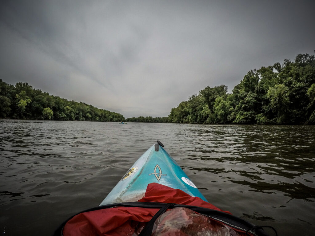
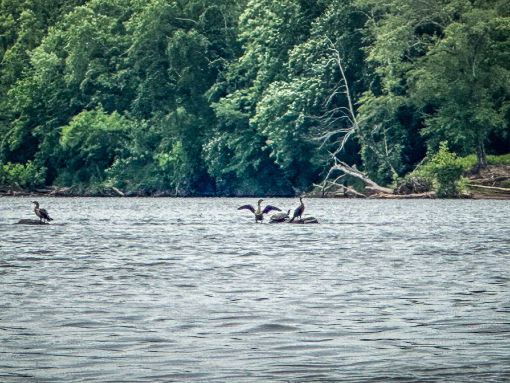
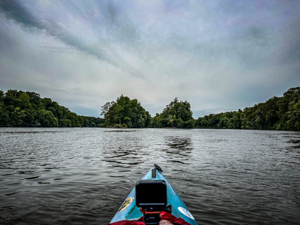
At this point the Catawba river was like so many other wide rivers that I’ve paddled in South Carolina – the Santee, the Savannah, and the Broad. We saw the usual suspects in terms of wildlife. There were turtles, kingfishers, anhingas, and an osprey or two. Every now and then there would be a splash just out of my field of view. I’m guessing it was probably just another turtle.
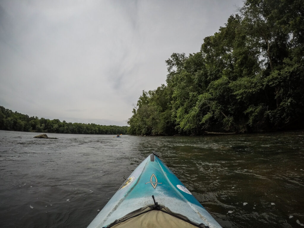
We were approaching the Courtney Island. While Courtney was once one large island, it’s now a series of islands braided with channels. We decided to take the middle channel.
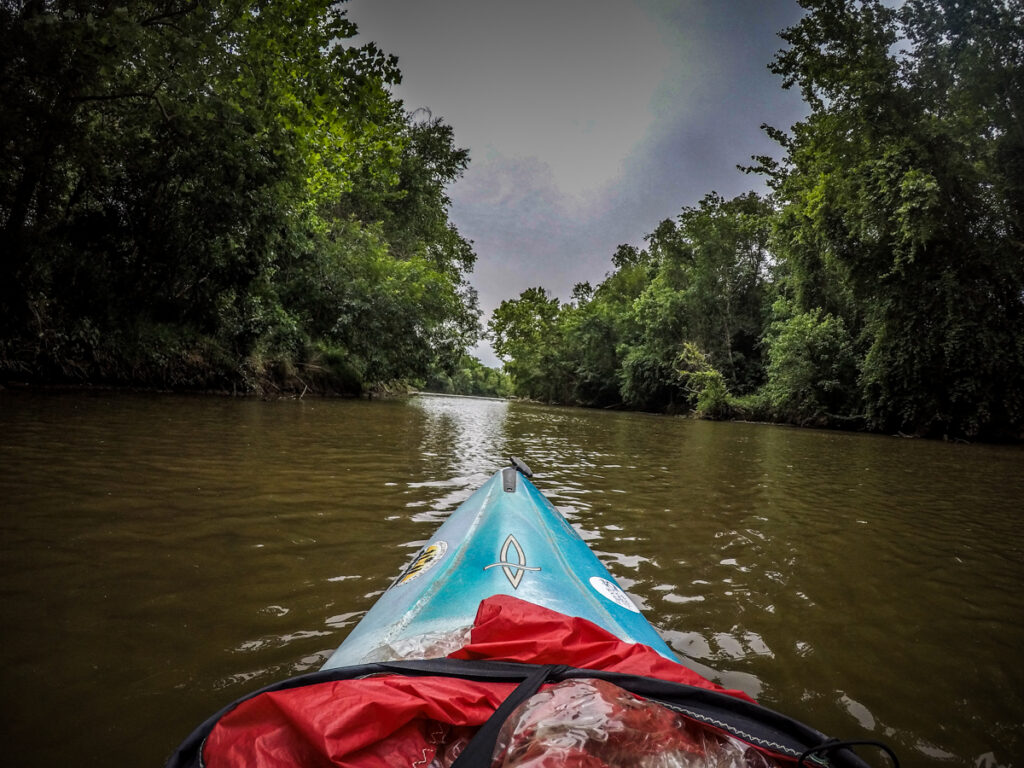
It was like being on a completely different river. Logjams cluttered some of the banks and at one point I wondered if this channel would be completely open, but we made our way through without any issues. I spotted some great places to pull up and cook bratwurst, should our Lowcountry Unfiltered group ever come this way.
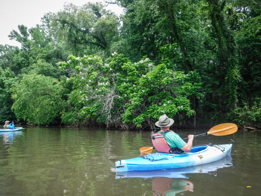
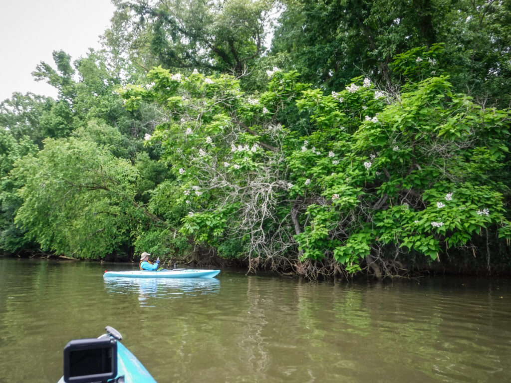
All along the eastern bank were flowering trees. Alan identified these as Southern Catalba trees. We paused to admire them.
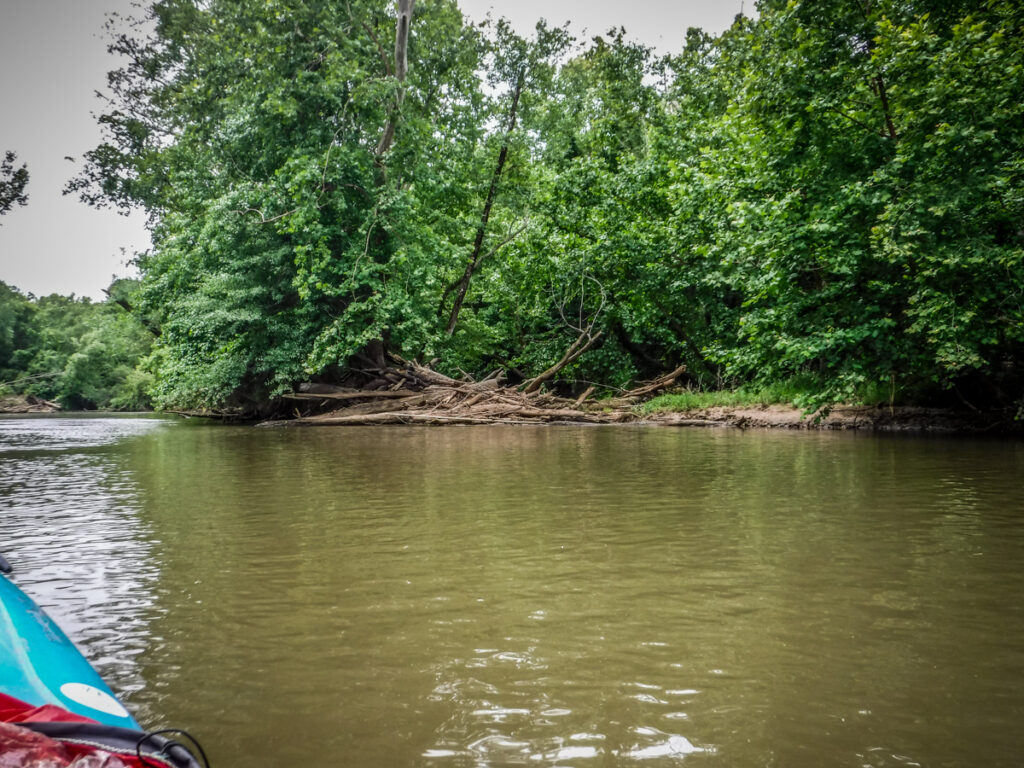
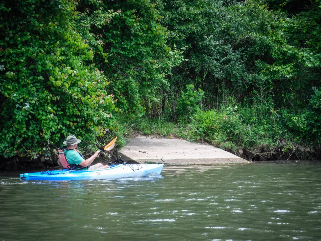
Along this stretch we came upon three different sets of ruined docks. These were all the same configuration and all had a concrete boat ramp just upstream. The docks had been swept aside by high water and the ramps now had bushes growing up so that they couldn’t be used. We wondered if there had been a riverside development that had fallen through.

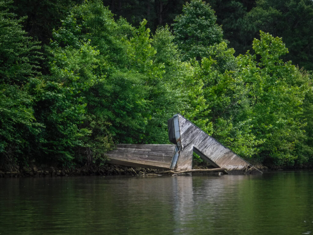
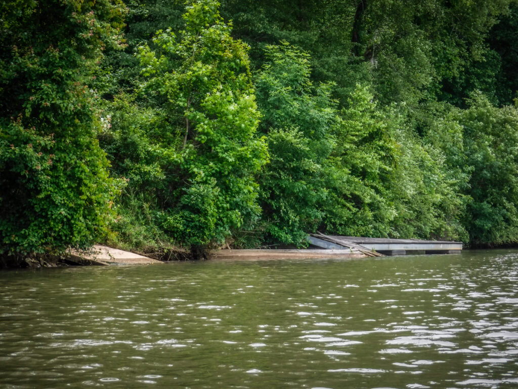
I checked Google Earth. It looks like the docks weren’t present in the 2006 imagery. They were there in 2011 and 2012 but I couldn’t see any houses or roads that might be served by these ramps and docks.
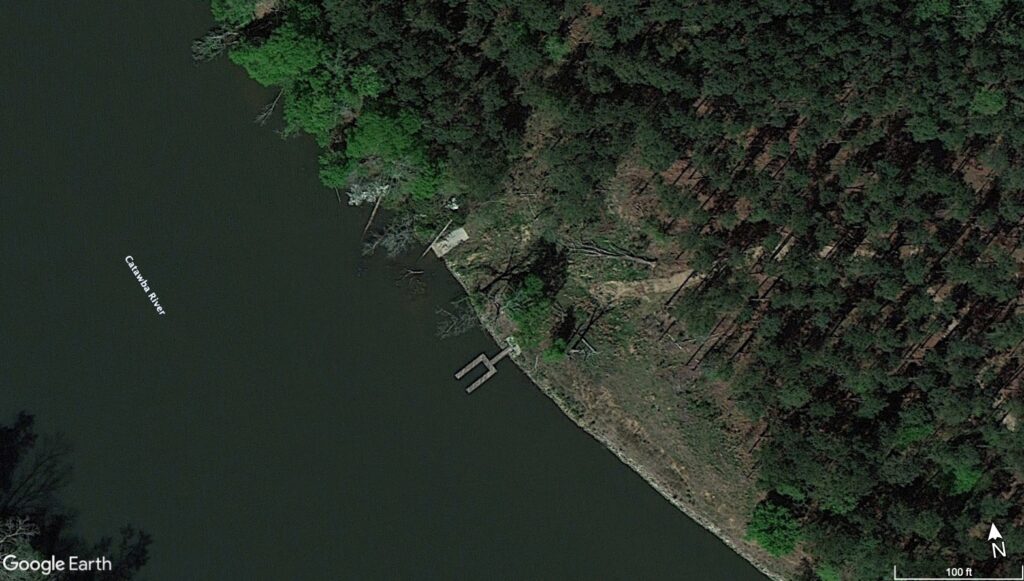
By 2013 it looked like nature was already reclaiming the cleared areas. I haven’t been able to find any other information on the Lancaster GIS website or in news archives.
We found one more little side channel to explore before reaching the bridge. It only went back a bit before we had to turn around.
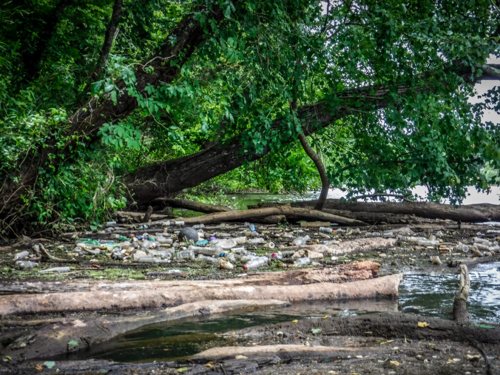
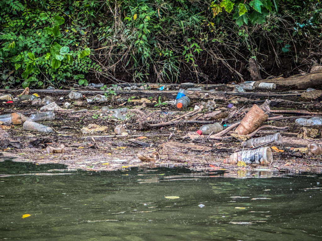
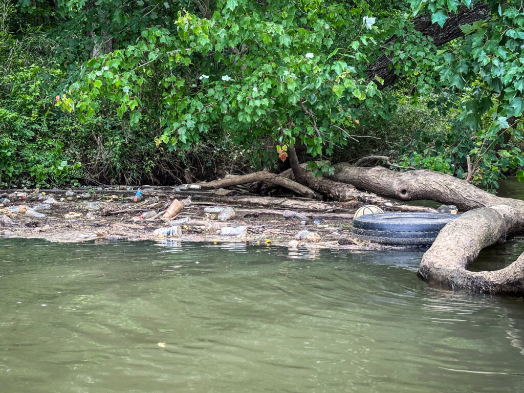
At the confluence of this stream on the main river we found one of several floating debris piles. This was one of the largest I’d ever encountered. There were balls, tires, and lots of bottles and cans. Even if I’d come prepared with trash bags I don’t think I could have hauled all this out in my boat. It did make me think that I didn’t want to go for a swim.
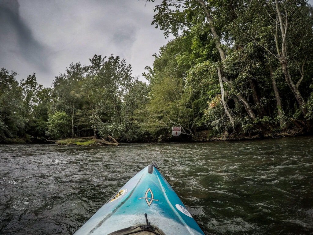
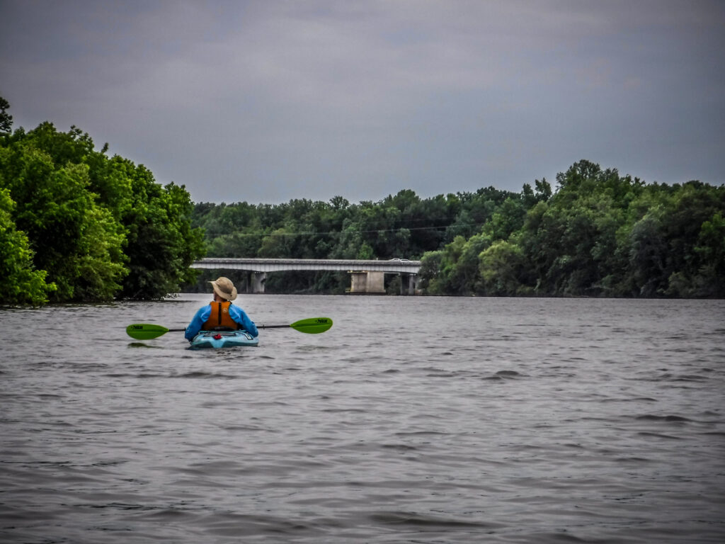
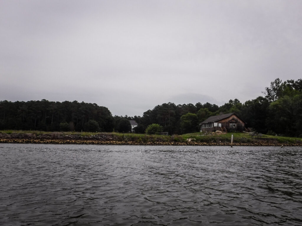
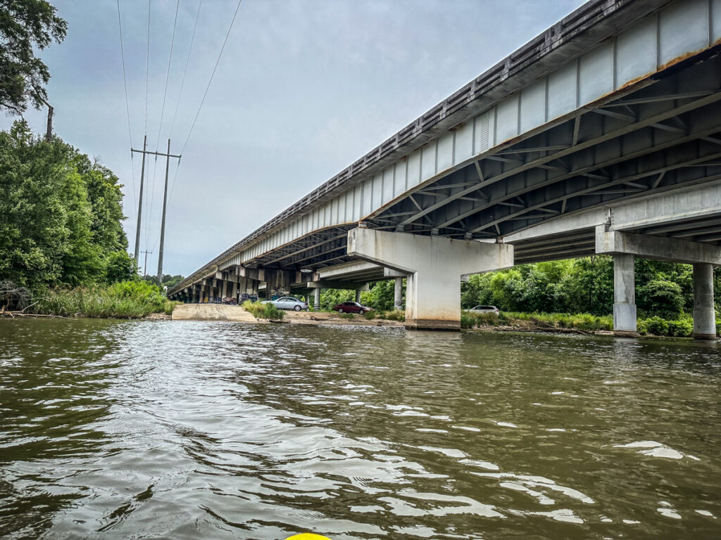
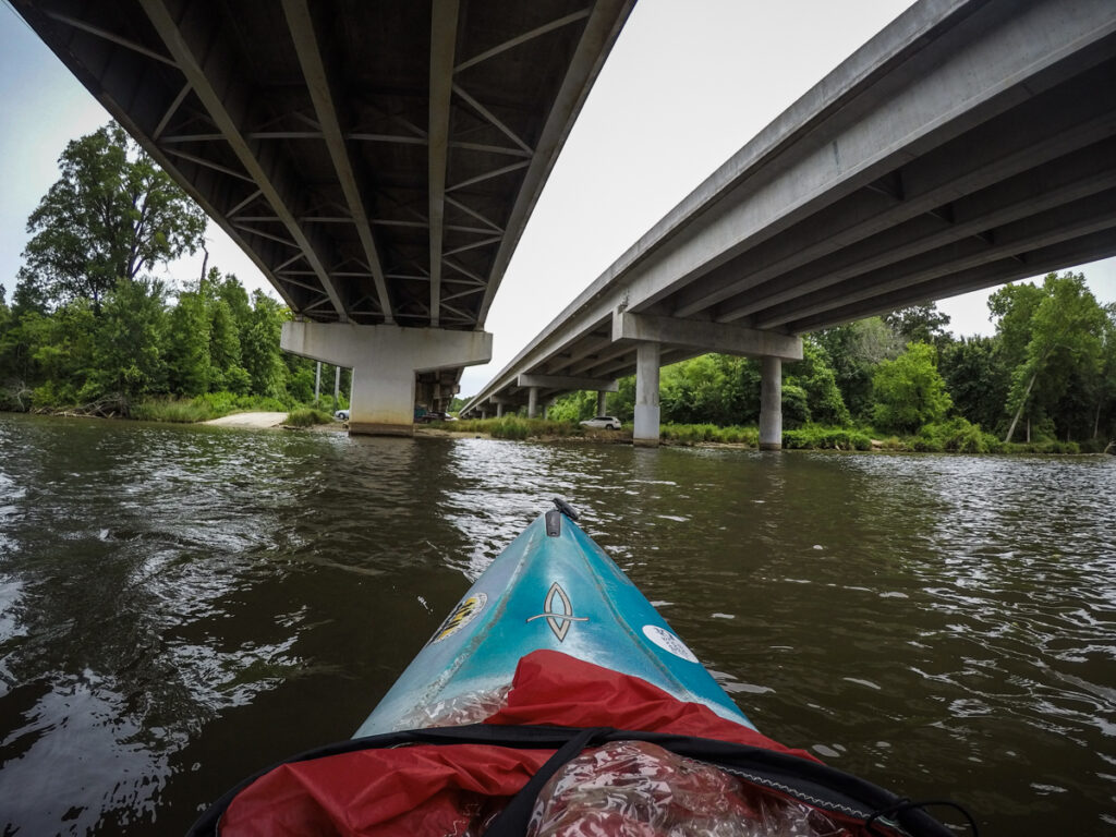
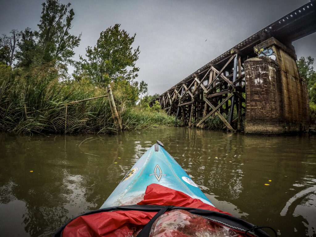
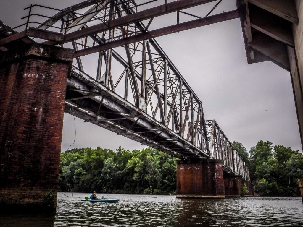
We were now within sight of the Highway 9 bridge. This is a four-lane double bridge over the river. Just before the bridge was a river house with a much larger house beyond. Apart from the abandoned docks, this was the first sign of development along this stretch of the river since the state park.
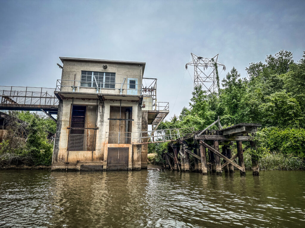
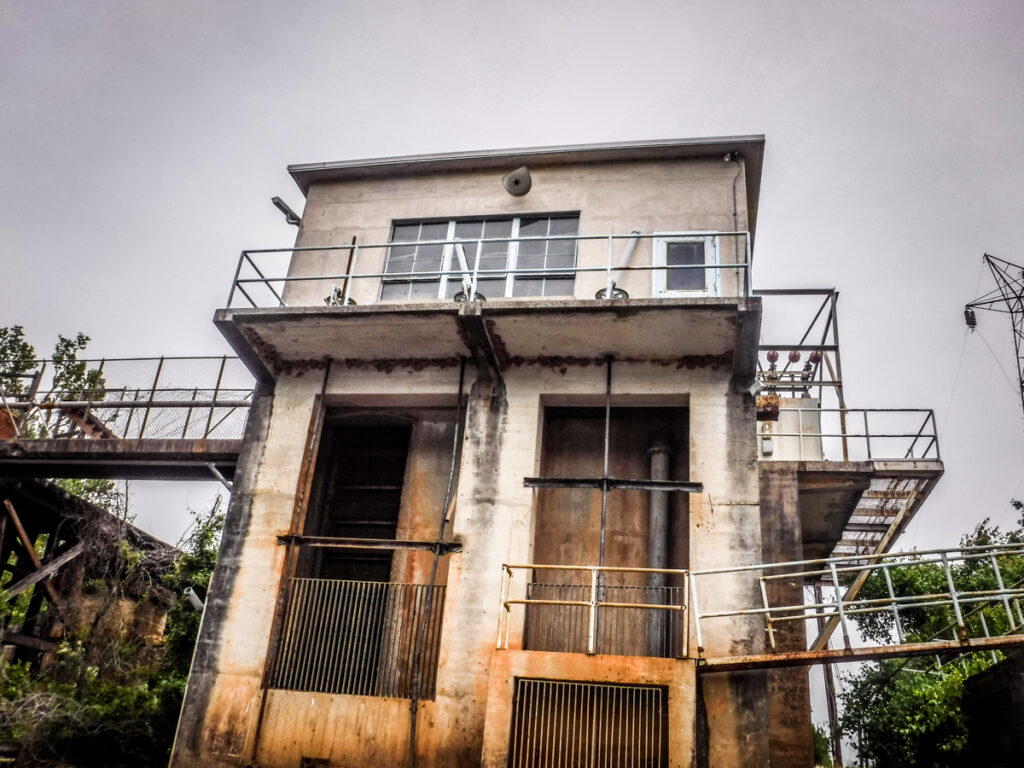
Just past our take-out ramp there was a railroad bridge and what looked like an abandoned power station. We decided to paddle down and check it out.
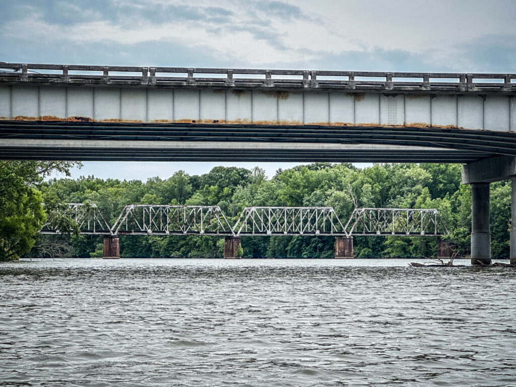
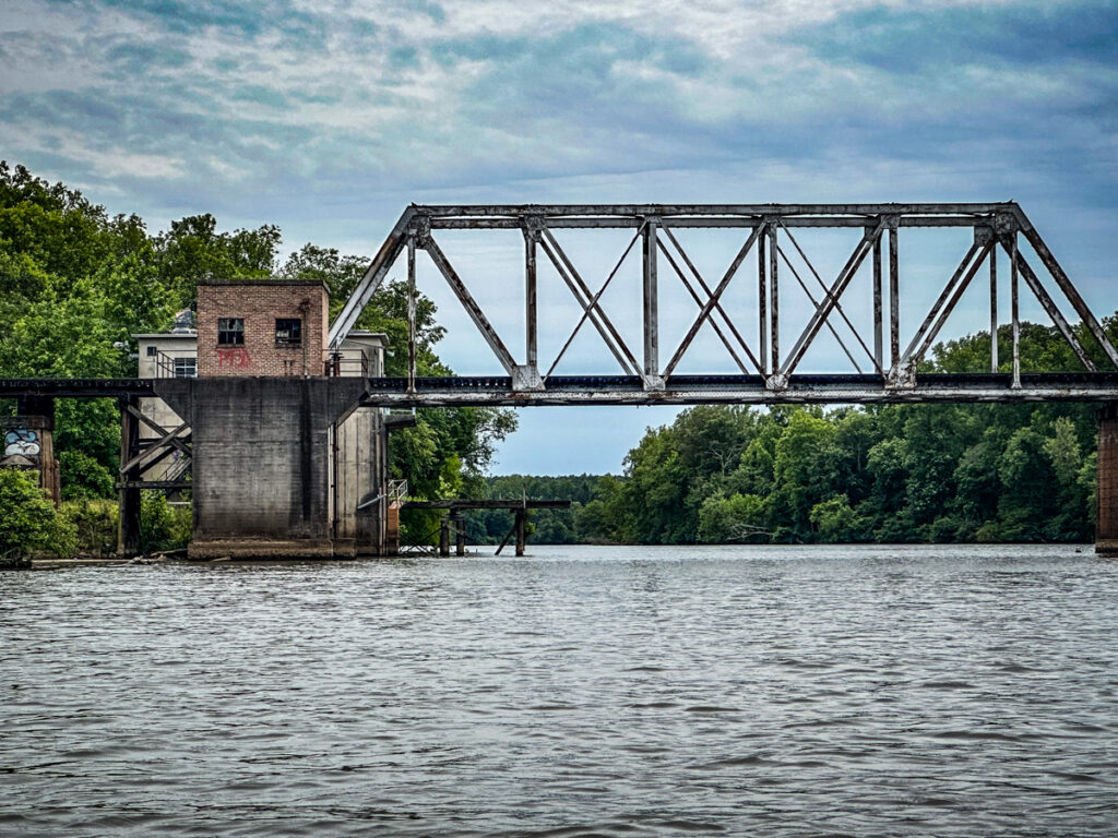
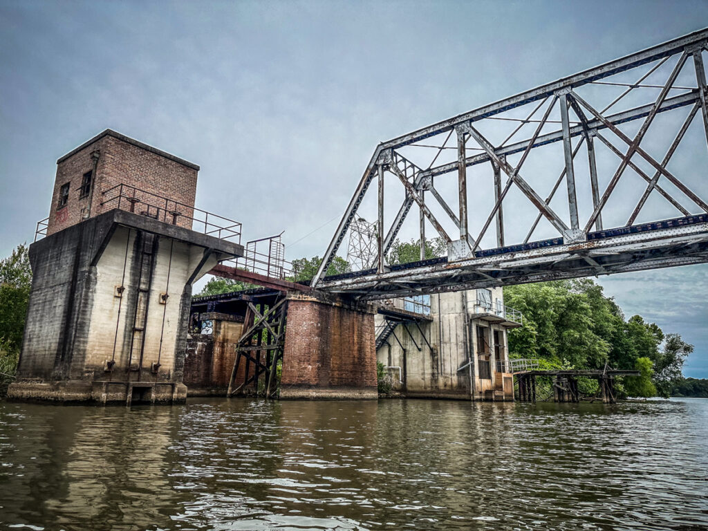
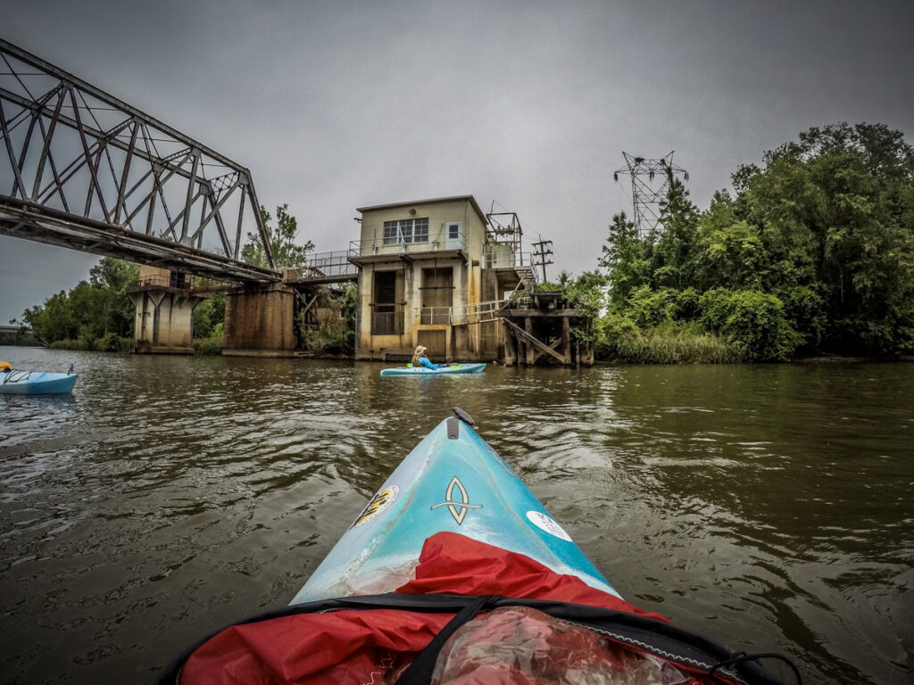
If we’d had time we could have easily scrambled over these ruins. However, we decided it was time to start heading back upstream to our takeout.
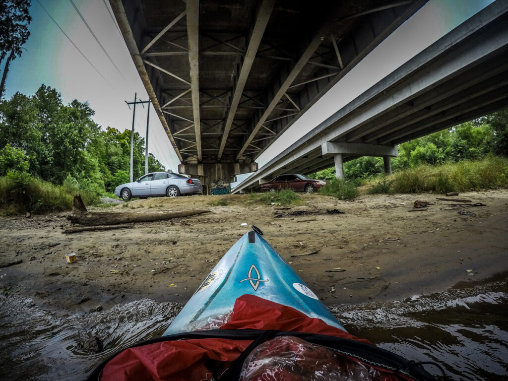
When we got back to Highway 9 we found it had become much more popular. There were several cars there and various groups fishing along the banks. I pulled up onto the sandbar under the bridge while Alan and David pulled onto the ramp.
David gave me a ride back to Landsford Canal State Park to retrieve my car and trailer. There we found that it, too, had started to fill up. There were several vans with kayak trailers, obviously from tour companies. Mike Vaughn pulled in just about the same time as we did and was surprised that we had already made it downstream.
We paddled a little over seven miles aided by wind and current. It had been a quick trip. The rocky shoals spider lilies were only in the first mile and a half, so the rest was open river.
It was a great trip and the weather had been perfect. It was a bit overcast and not too hot. I did make a time lapse of the trip from the GoPro images.
I also saw a red-winged blackbird fly into the lilies and a goldfinch catch and eat a bug. A great trip!