We have rested near the water,
from “Occonneechee, The Maid of the Mystic Lake” by Robert Frank Jarrett, 1916
Seen the fleck and shimmering- flow,
Of the waters kissed by Nature,
Lovely river Tugaloo,
Where the Cherokee once rambled,
Sported ‘mid the scenes so wild,
Where the forest and the river
Have the wood-gods oft beguiled.
Since I’ve gotten my new kayak trailer I’ve found it easier to take off on spur-of-the-moment paddling trips. I leave a boat loaded and keep my other paddling gear ready in a bag I can grab. I just have to make sure the electronics are charged the night before.
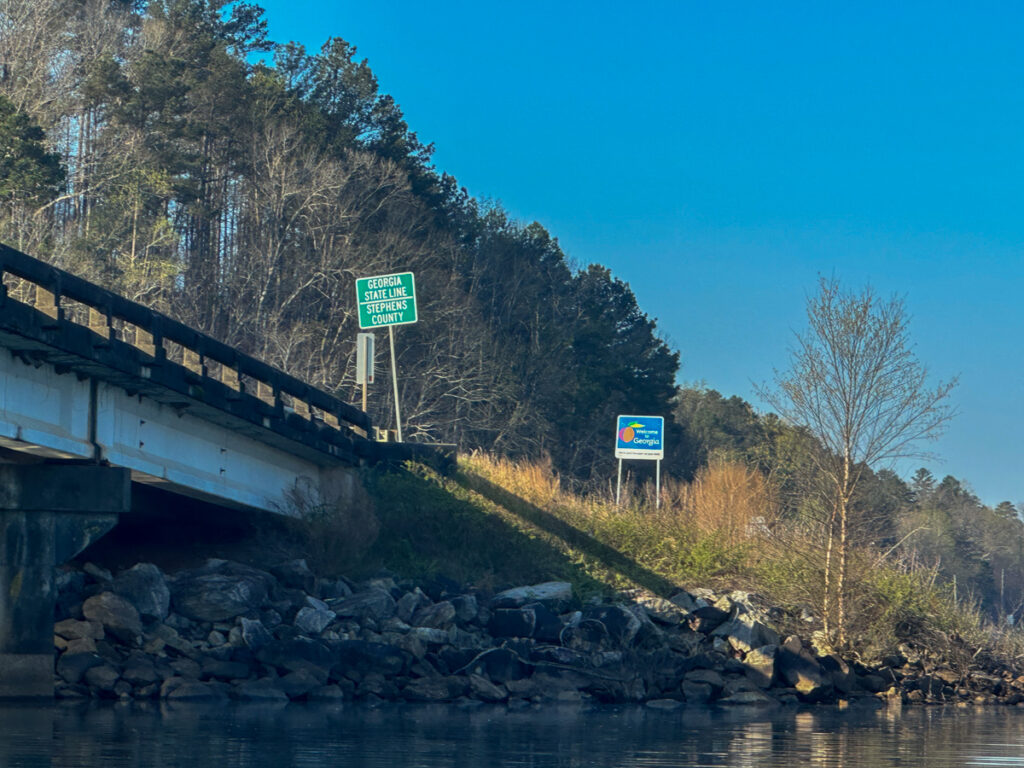
Such was the case this past Friday. The weather looked perfect for a paddling, so I decided to head up to the Tugaloo arm of Lake Hartwell and paddle up to Long Nose Falls. As I was reviewing the upcoming trip in Google Earth I spotted a feature I’d never noticed.
Tugaloo Mound is a purported Cherokee mound right in the area I would be paddling. The weird thing is that my brother Houston and I were just discussing possible inundated mounds in the Savannah River Valley right before I made this discovery. That clinched it. I would add this as waypoint on my trek up Long Nose Creek.
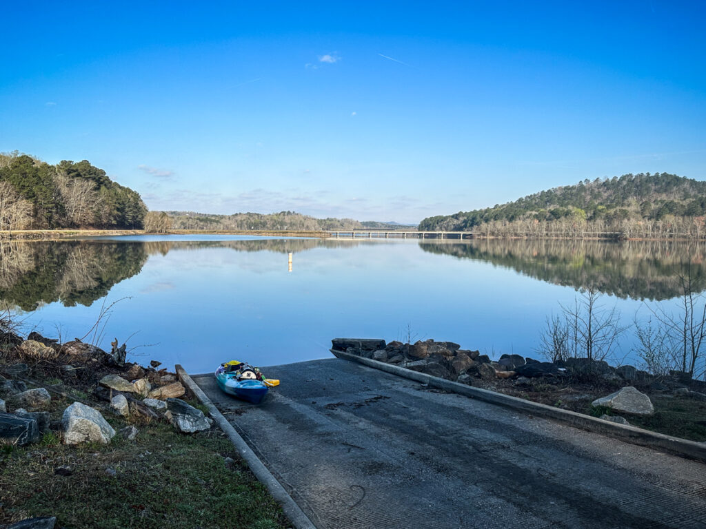
The last time I paddled to Long Nose Falls I did a throw-in launch from the side of River Road. I knew that location wouldn’t work with a trailer, but I was still hoping for a closer launch than the Stephens County Park. I checked out a couple of locations where I could safely park a trailer, but in each case the area was a bit steep or otherwise dicey for a launch. I wound up driving over to Stephens County Park anyway. It would mean a longer paddle, but it wasn’t beyond what I could do.
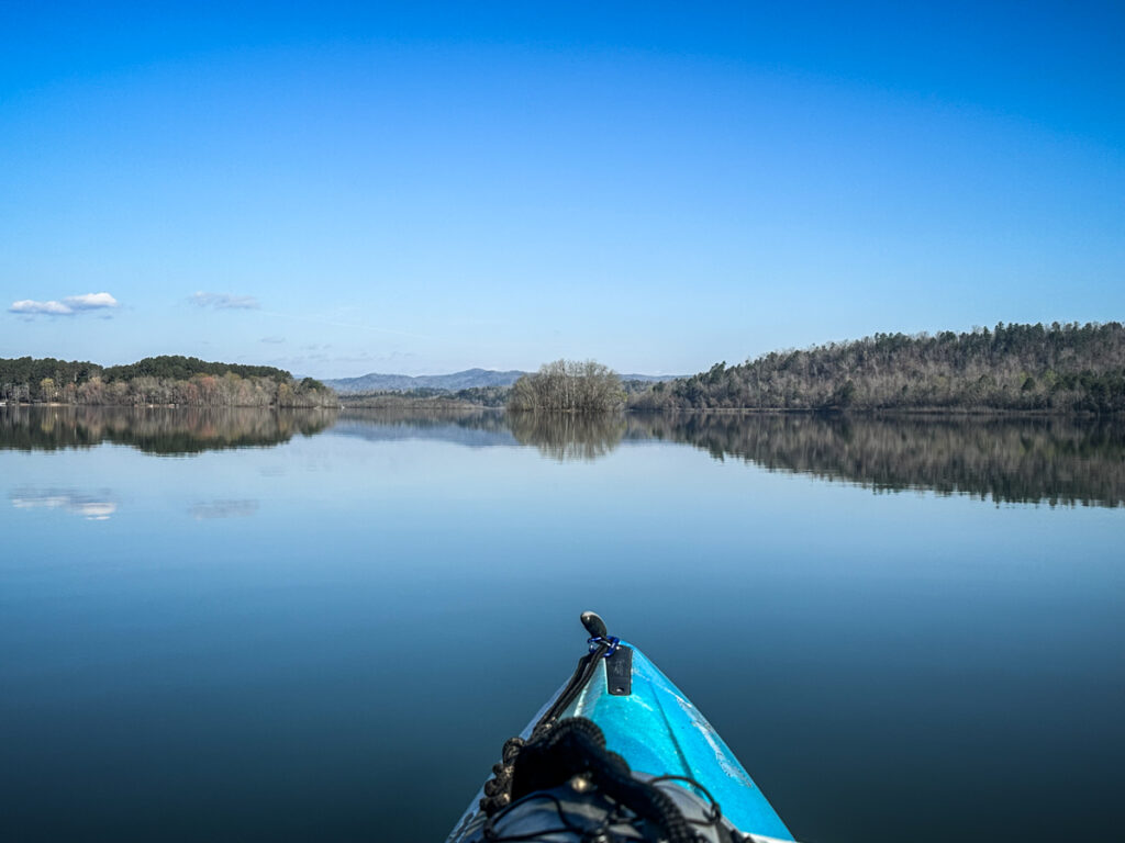
The weather was clear and beautiful when I launched. The forecast called for breezy weather, but on this morning the lake looked like glass.
As soon as I got on the water I realized I had a problem. I’d left the SD card for my GoPro in my computer at home, so no time-lapse. Even worse, my waterproof Olympus camera wouldn’t come on, no matter what battery I put in it. I had a small Nikon in a dry box, but I’d already launched and didn’t want to get out and walk back to the car for it. The only functioning camera I had with me was my iPhone. It would have to do.
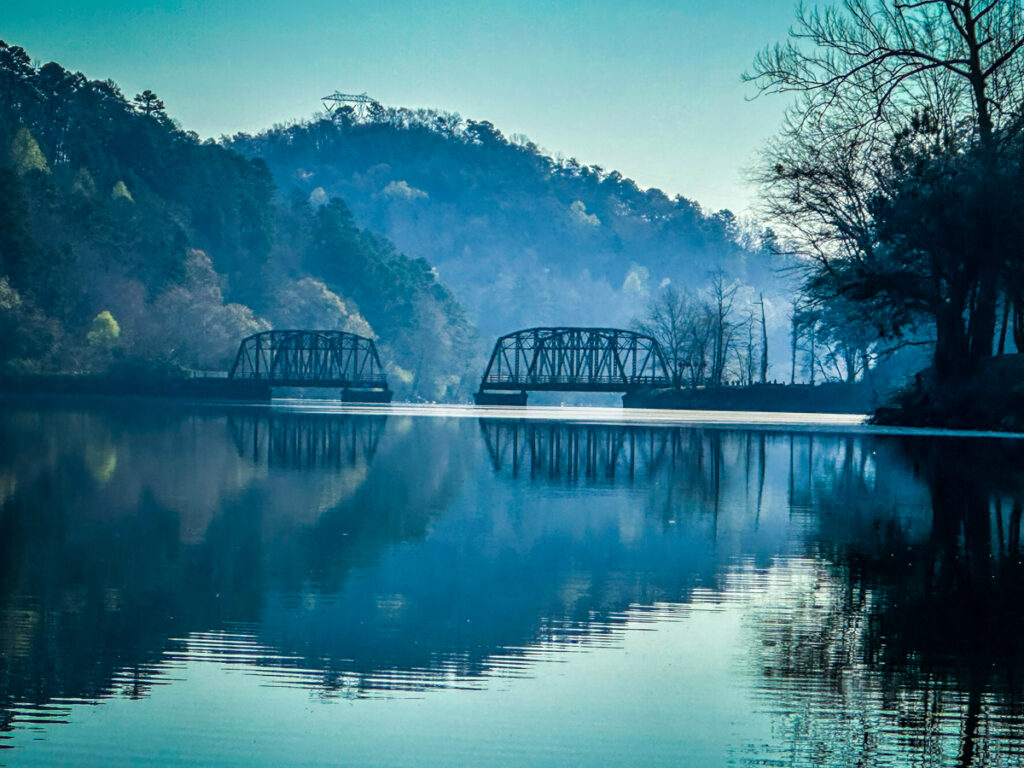
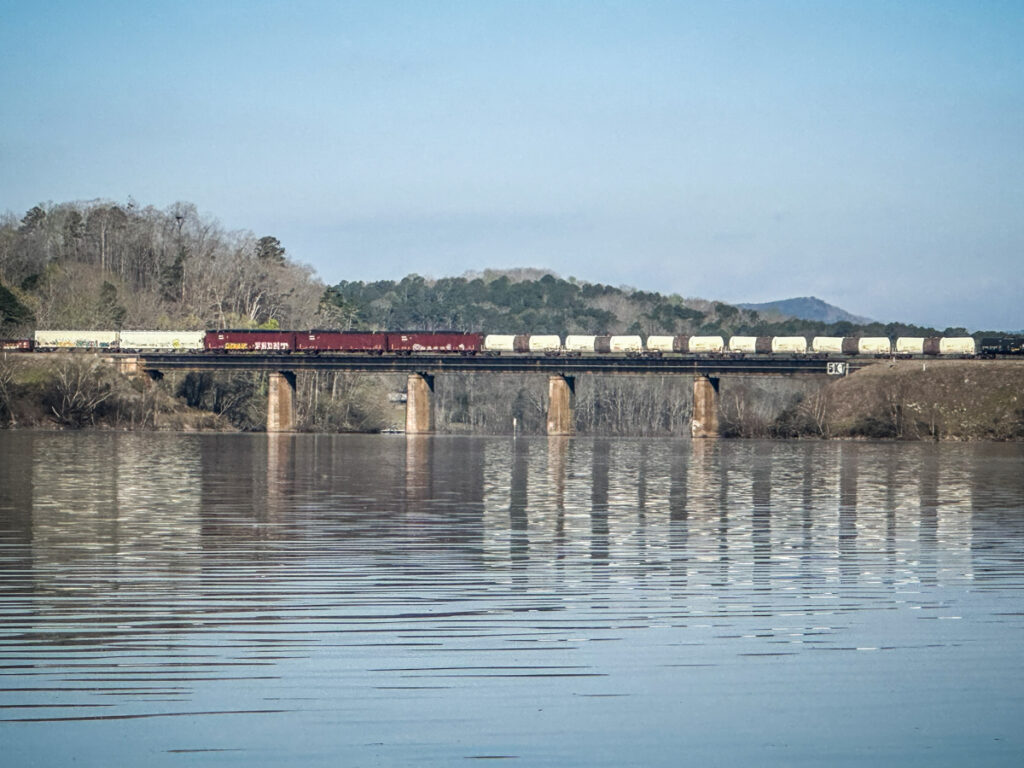
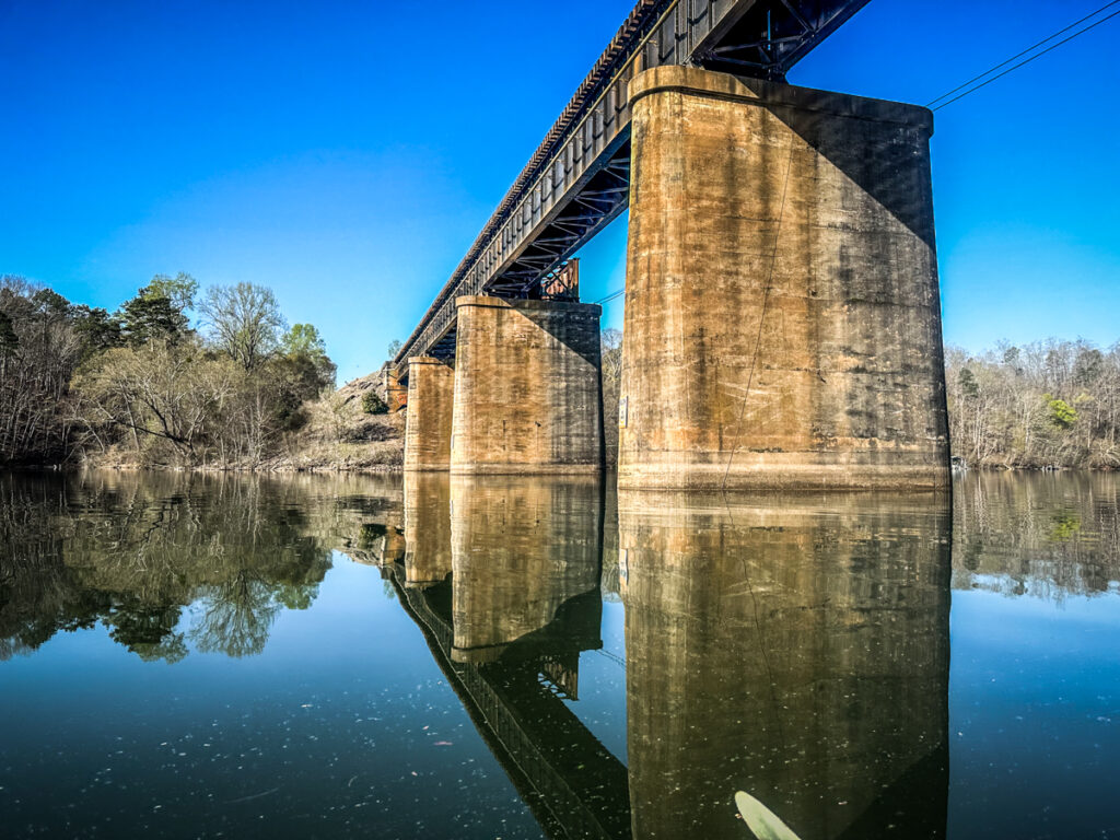
The “Broken Bridges” fishing pier loomed to the south. Upstream I could see a train crossing the trestle beyond the 123 Bridge. It would have been cool to paddle under a train, but I knew I wouldn’t make it in time.
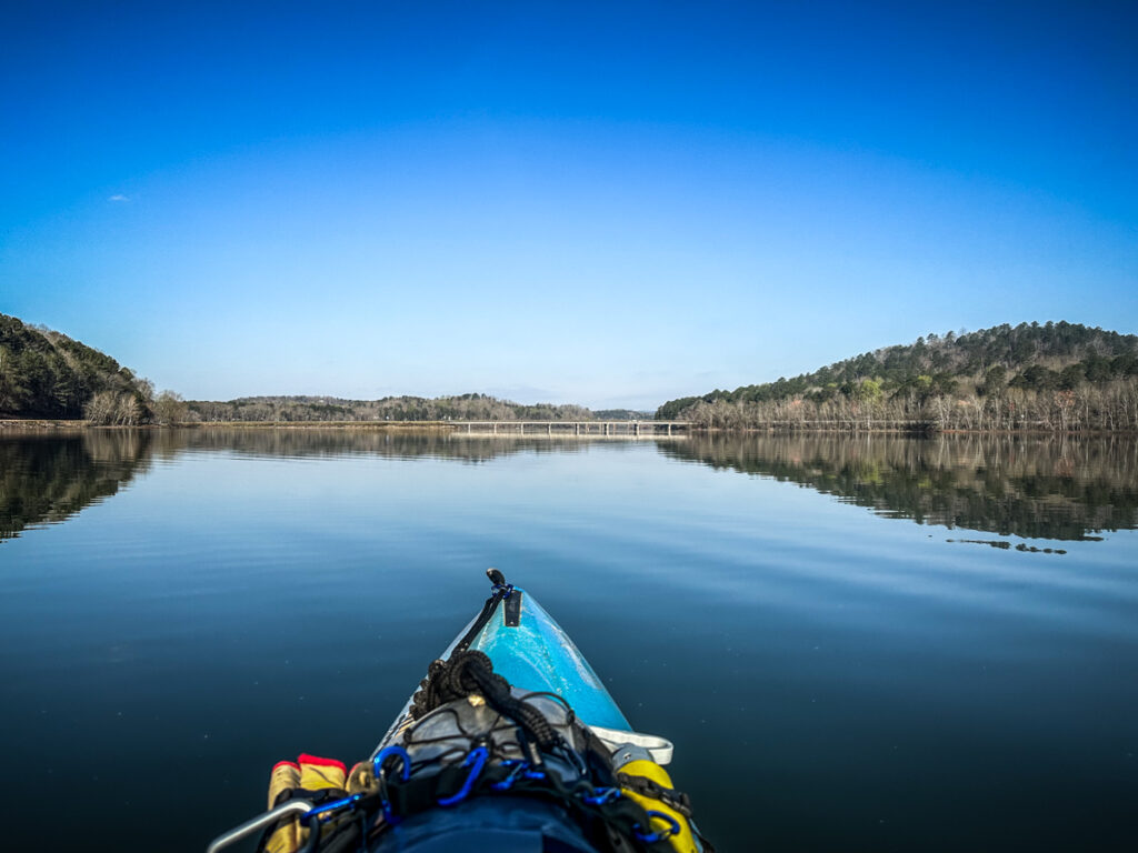
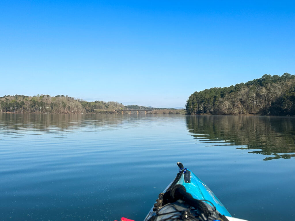
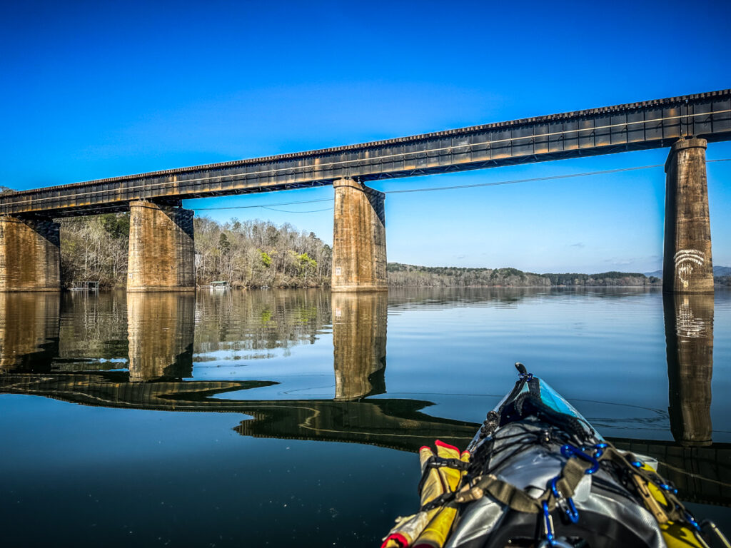
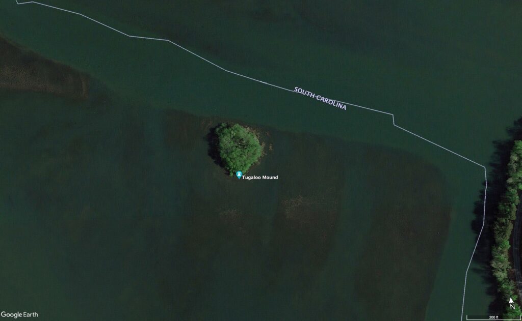
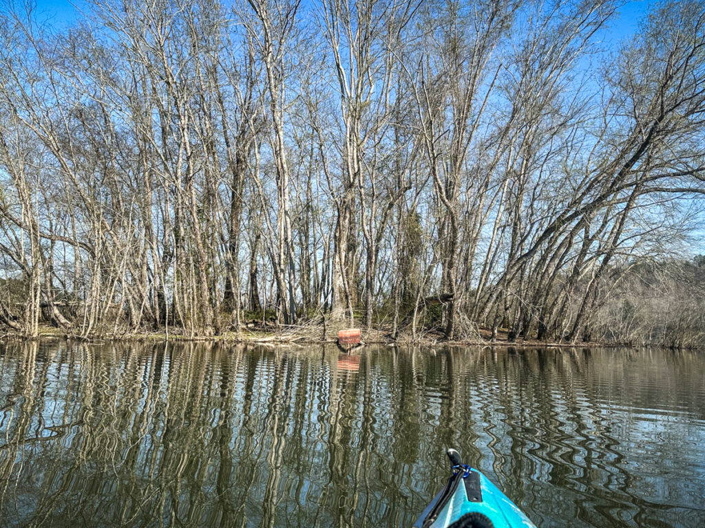
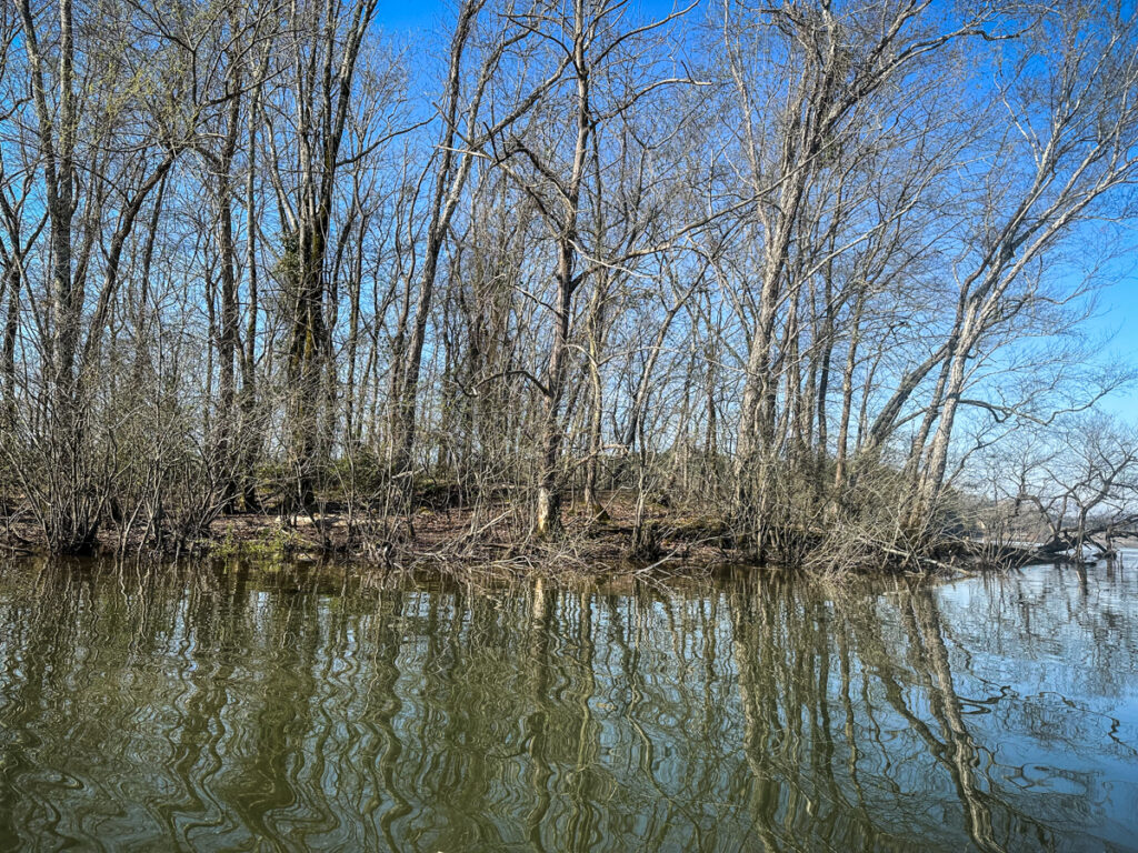
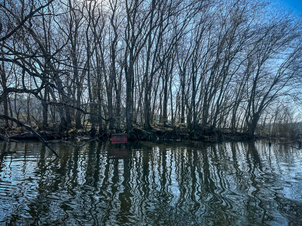
Just past the railroad bridge my first target came into view. The Tugaloo Mound is a circular island about a half mile upstream from the railroad. At lake level it just looked like a tuft of trees in the middle of the channel.
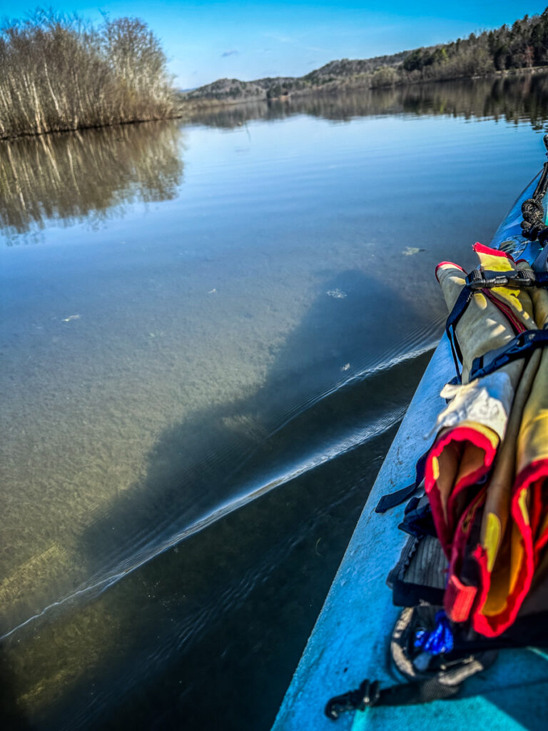
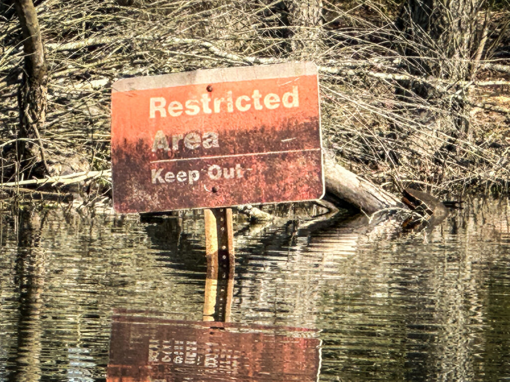
As I got closer I was very surprised at how shallow it was around the small island. For several hundred feet out from it the water was only a couple of feet deep, at most. The mound itself doesn’t rise above the surface of the lake but a few feet. I would have landed to explore but there were signs stating that the area was restricted. I circled the island, but nothing more.

I’ve been trying to find some details on this site, but there is conflicting information. The Stephens County Foundation has been promoting this area as the Tugaloo Corridor. It consists of several historic sites associated with early Native American habitation, including the Tugaloo Bend Heritage Park and the Tugaloo Mound.

The information about the mound on this site is as follows:
As you leave Stephens County Park, on the north side of US 123, you will see a historical marker describing Tugaloo Town, a dominant Cherokee village of the 1700’s.
Stephens County Foundation
Colonel George Chicken, in his Journal of 1725, described Tugaloo Town as “the most ancient town in these parts”. He further describes the people of Tugaloo to be “the most turbulent in the nation and also the most taken notice of by the other towns”.
The name “Tugaloo” is derived from the Cherokee “DUGILU-YI”, describing the town located at the site you are seeing. The TUGALOO MOUND can be seen from the historical marker by looking north through the center span of the railroad trestle at a mound of trees in the center of the lake.
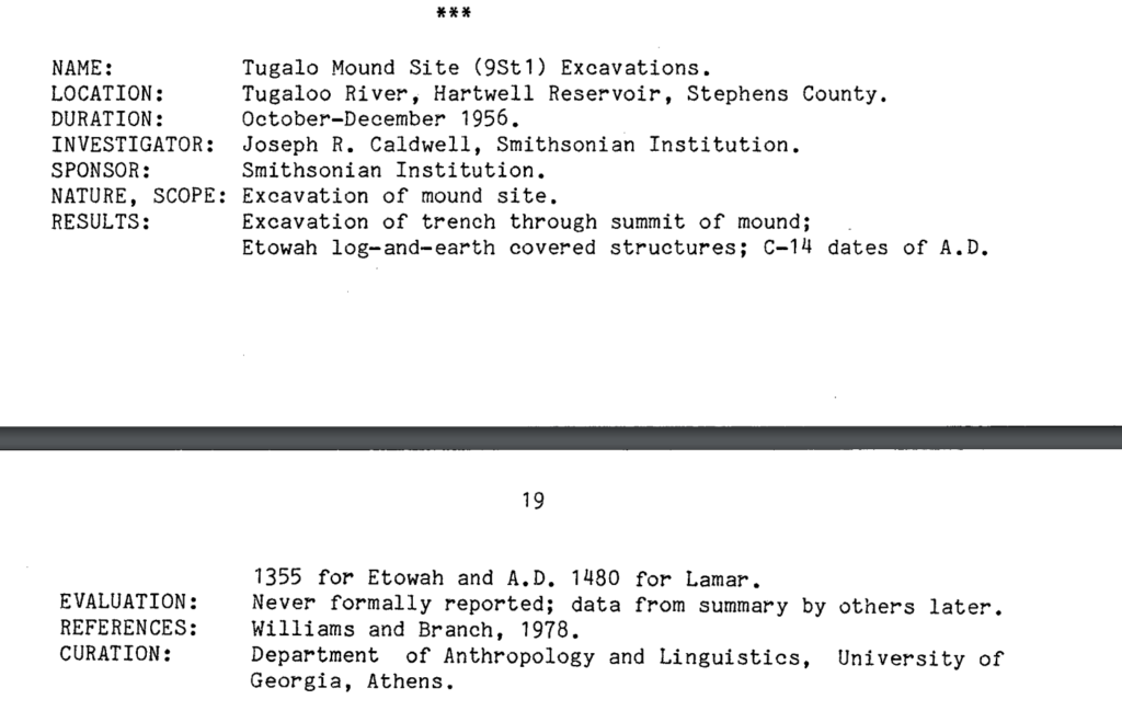
Prior to the Lake Hartwell impoundment in the late 1950’s, the Smithsonian Institution and the University of Georgia excavated the council house mound at Tugaloo Town in 1957-1958.
I’ve been trying to find the results of the 1957 UGA excavation, but to no avail. A 1990 UGA report mentions the excavation, but states that it was, “Never formally reported.”
Prior to the inundation of Hartwell there was a 1953 recommendation that the site be excavated, but I still haven’t found that study. The only contemporary news reports reflect the disdain held for Native American sites during the 1950s. One article from The State in 1959 starts as follows:
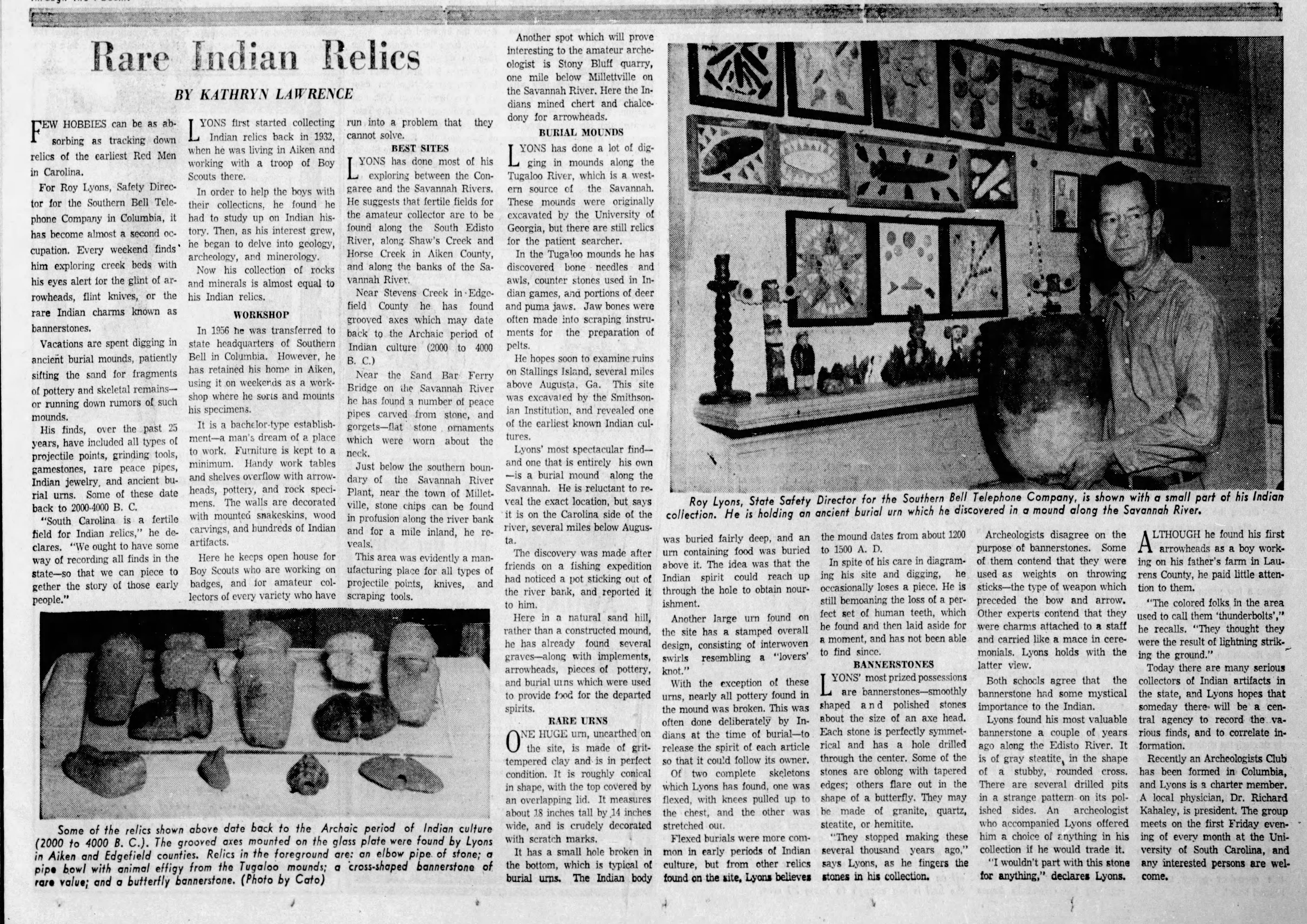
Few hobbies can be as absorbing as tracking down relics of the earliest Red Men in Carolina.
“Rare Indian Relics”, Kathryn Lawrence, The State, January 18, 1959
The article goes on to interview Roy Lyons, who gleefully talks about the relics he has essentially looted from Native American sites, including the Tugaloo Mound.
All of the references, including later ones, talk about the mound as being a significant Cherokee townsite. I found one commenter on the Wikimapia website that took issue with that designation, though.
This was never an important Cherokee town, but a large proto-Creek town prior to be burned around 1700 AD. None of the mounds were built by the Cherokees. The village was shown all maps until the American Revolution as being a Hogeloge (Yuchi) village. Tugaloo Island was thoroughly excavated by University of Georgia archaeologist, Dr. Joseph Caldwell, in 1957. He found that Tugaloo was founded around 800 AD and occupied continuously by ancestors of the Creek Indians until around 1700 AD, when it was sacked and burned. Caldwell found that a small section of the southern end of the town was re-occupied in a few years by a cluster of crude, round huts. In 1737, the Rev. John Wesley, Georgia Colonial Secretary and future founder of the Methodist Church wrote “Tugaloo is a small hamlet at the head of the Savannah River, containing no more than about 40 Uchee (Yuchi) men.” The Uchee in that area became allies of the Cherokees, but they were not ethnic Cherokees. All of the southern half of Stephens County, GA remained Creek until it was ceded to the new State of Georgia in 1794. This is the danger of having “Wiki histories” on the web. They tend to be based on tourist brochures rather than facts.
Richard L. Thornton
I guess I’m surprised that there has been no further research on the site. I would hope that there is still information to be learned, especially with the increased interest in the Tugaloo Corridor and with conflicting information being published about the mound.
It was time for me to leave the mound and head toward my final goal – Long Nose Falls. However, there was something else I wanted to check out. That story continues on the next page…
The house is an Airbnb! My husband told me this past weekend when we went. I don’t know if the link will work, but here it is
https://abnb.me/ByTHq8RxFzb
How far can you journey slowly on a jet ski?
I think it depends on the water level. I didn’t see any obstruction, so it should be fine.
The U. S. Army Corps of Engineers holds copies of Caldwell’s report. I obtained in 2006, while doing research for the Muscogee-Creek Nation. I have moved several times since then and in the process misplaced it. However, I do remember, in addition to the information, which you provided that there were eight mounds on the island and three mounds on the Georgia side of the river. A small portion of the plaza was re-occupied by Uchees in the early 1700s. It contained about 100 people in crude round huts, when visited by Indian Agent, the Rev. Charles Wesley. in 1737. He was looking for Cherokees, but found none living in Georgia.
Tugaloo was also excavated by Cyrus Thomas and John Rogan of the Smithsonian Institute in 1886, plus archaeologist Robert Wauchope in 1939. Wauchope’s “Archeological Survey of Northern Georgia” contains professional-quality information on Tugaloo. Tugaloo is the Cherokee-nization of the Archaic Irish Gaelic words Tokah-re, which mean “Principal People.” They were the same branch of the Uchees that are labled Tocoree or Togaria on Colonial Era maps of eastern Tennessee