This was a second Saturday weekend, and we had a paddling trip planned with Lowcountry unfiltered. For this trip the guys decided to stay close to home – their home near Bluffton, SC. I planned to head down a day early and do some photography, but a friend from Savannah had another suggestion. We would sneak in another paddling trip Friday afternoon. For this trip we would be heading to the New River, between Hardeeville and Bluffton.
The New River heads up in the swamp lands inland and flows to the Atlantic just southeast of Daufuski Island. It’s not to be confused with the more famous New River that flows into the Mississipi drainage across North Carolina, Virginia, and West Virginia. Most of its route is coastal, influenced by tides. Just north of our put-in the river flows through an area labeled on the map as the “Great Swamp.”
Speaking of labels, Google Maps and Google Earth have all of the names of these rivers incorrect. All of the coastal rivers around Hilton Head are labeled “Harbor River.” Google really needs to get its act together.
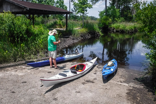
I arrived in Hardeeville around lunchtime and found our rendezvous spot. We would be doing an out-and-back paddle from the landing at the bridge on Highway 170, the Okatie Highway. Our trip would be limited by how far we could go upstream before we ran into blockages.
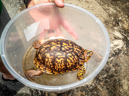
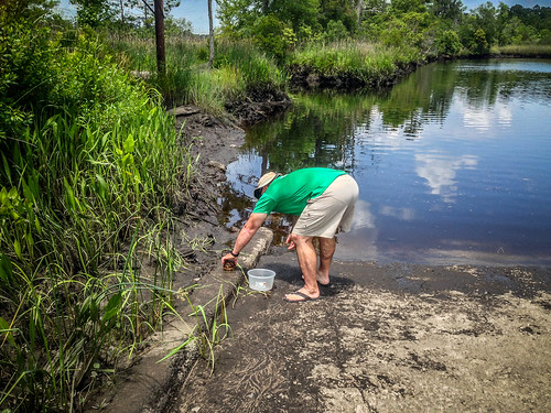
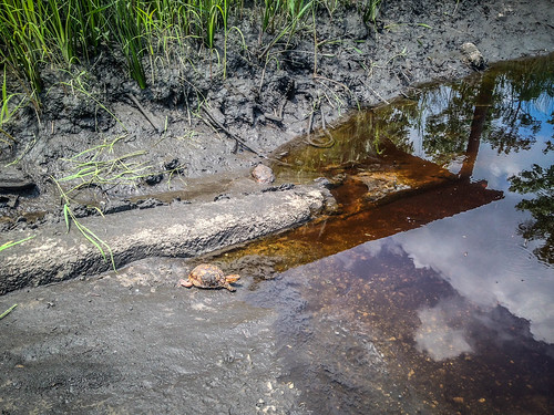
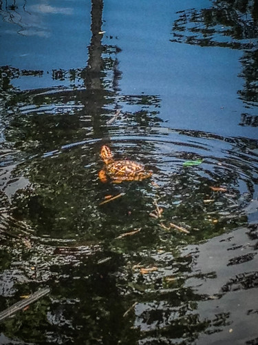
Tim Brown arrived shortly after I did. As we were getting ready to unload our boats a car pulled up with a woman and her son. She rolled down the window and handed out a plastic container with a turtle. She asked if we would turn it loose in the river. We obliged. We turned the guy (gal?) loose on the boat ramp and it headed straight for the water.
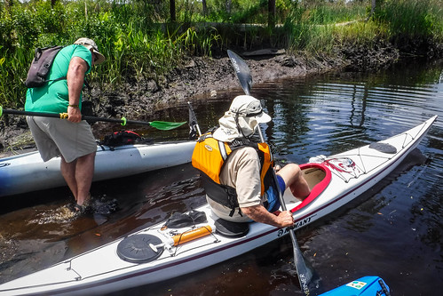
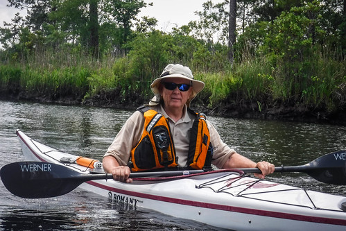
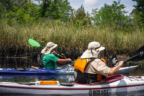
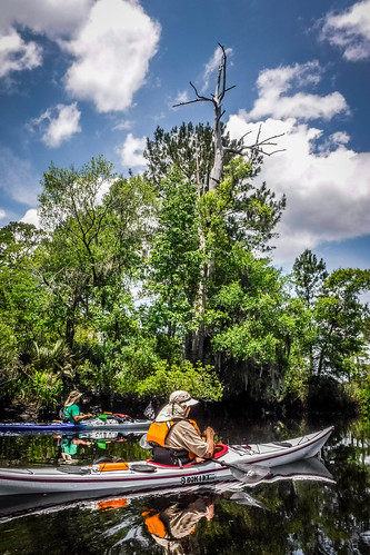
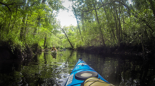
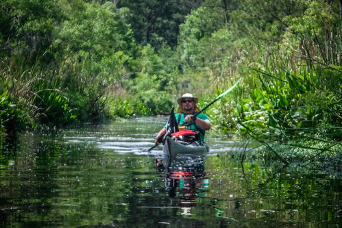
Today we would be joined by Tim’s father-in-law, Frank Wooldridge. When Tim had said his father-in-law was coming, my first impression was an older gentleman, and we would need to adjust our paddling accordingly. Frank turned out to be a retired Navy captain with extensive experience with sea kayaks. They would probably have to wait for ME to catch up! We unloaded our boats and got underway.
We couldn’t have asked for better weather. We headed upstream against a slight current, but nothing we couldn’t handle.
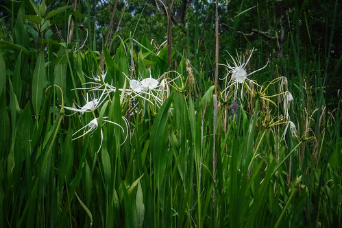
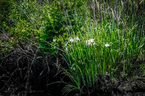
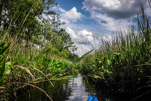
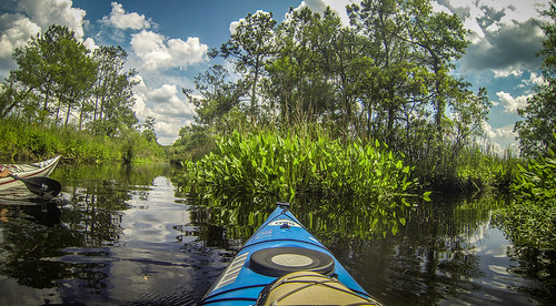
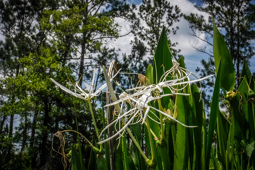
Some green plants and familiar flowers caught my eye. Spider lilies! Just like the ones I’d seen up on the Catawba River. Now I was confused, because these were supposed to only grow in fast-flowing shoals. Perhaps it’s a variant. If so, it’s a variant that looks exactly the same as the ones I saw last Tuesday.
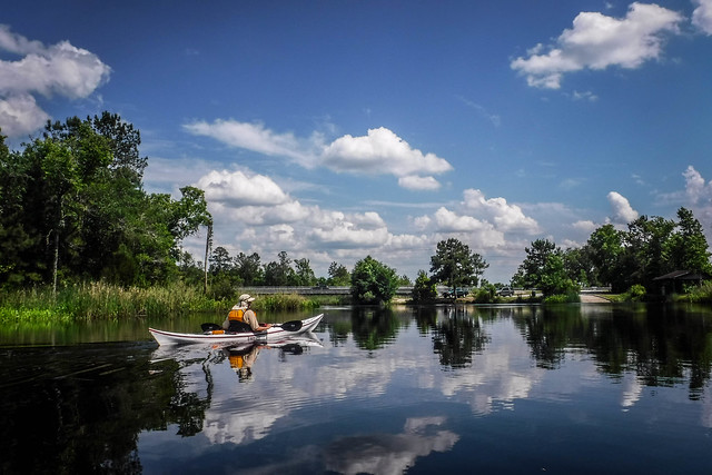
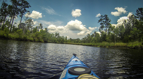
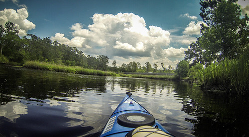
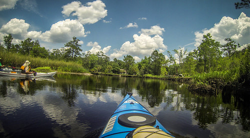
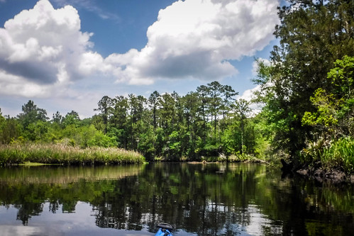
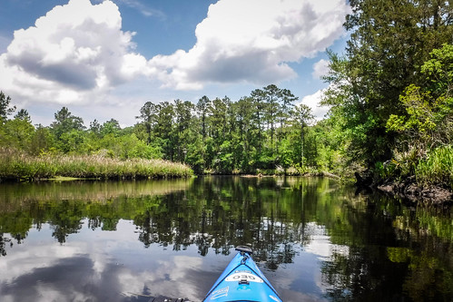
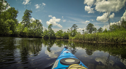
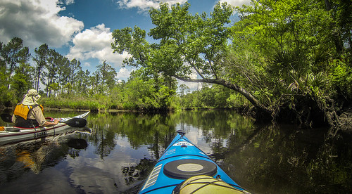
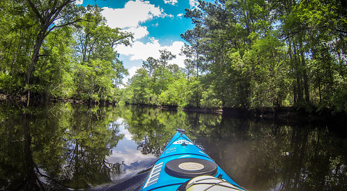
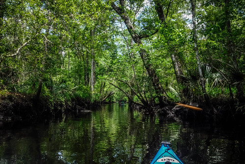
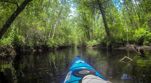
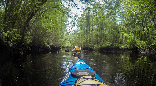
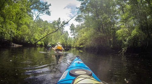
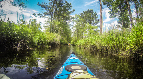
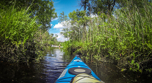
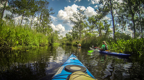
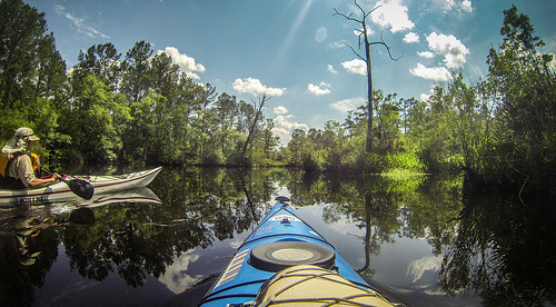
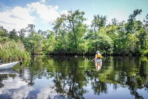
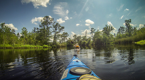
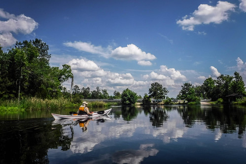
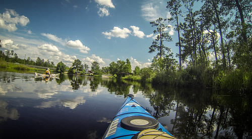
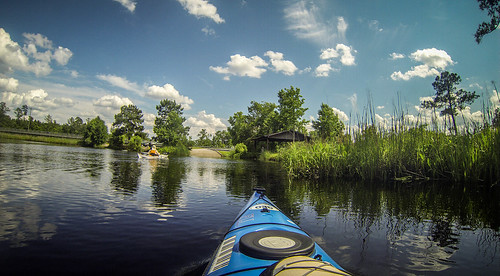
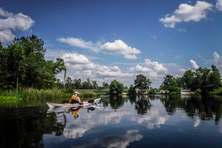
We passed one house just upstream of the bridge, then there were no other signs of civilization. Initially the channel was wide open. The water was quite flat in places, and the skies and trees reflected in the water.
We came to a fork, and Tim took the right channel. We spotted a couple of small gators, and what looked like gator slides along the banks in the mud. We weren’t too nervous…yet.
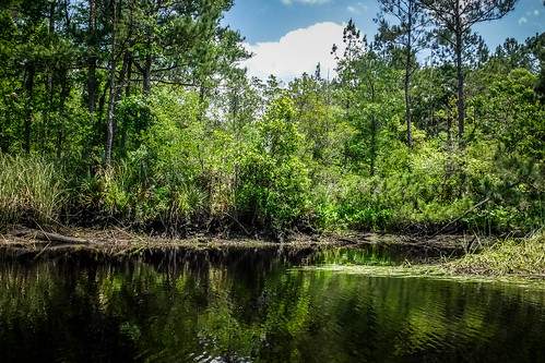
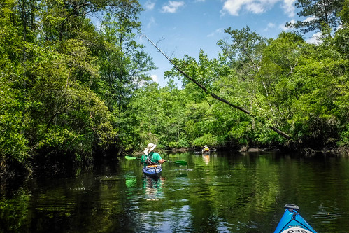
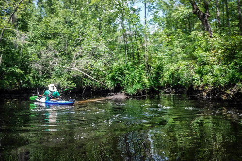
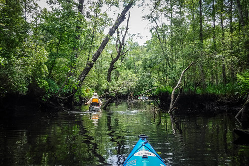
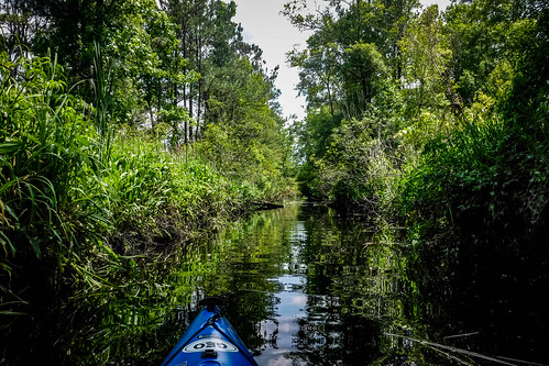
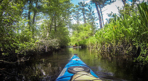
The channel narrowed, following a surprisingly straight path. At one point we had to get a running start to hop over a log. We continued on for a bit beyond that, but eventually a deadfall blocked any further progress along this route.
On our way back we took one side channel back a ways. It also ran remarkably straight. As with the previous channel we ran into a place where we could just go no further, and had to turn around.
Eventually we did make it back to the main fork, and we decided to explore the left channel. Again, it ran straight and true for quite a ways until we hit another obstruction. There was a good reason why all of these channels were straight. We were running along the edge of an old rice plantation, and some of these channels had been used to bring water to flood the rice paddies.
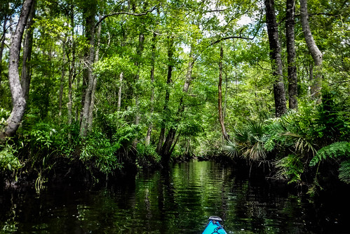
Several smaller side channels branched off in either direction. On the way back I took the opportunity to explore one of them. I found myself at another crossroad, where going straight would take me across the rice fields, and north or south would run along the field, parallel to the main channel we had been on. All of these looked passable, but much narrower. We had seen several alligators already by this time, and I wasn’t keen on being THAT close to the bank. It also looked like one could easily get lost in here.
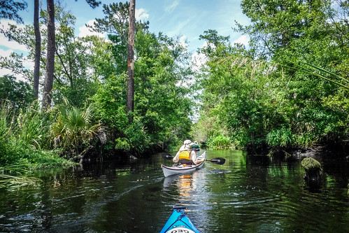
I made my way back to the main route and rejoined Tim and Frank. More spider lilies lined the banks here.
As we paddled along I had a chance to talk with Frank. He reminded me very much of my own late father-in-law. Both had been in the Navy, and both had gone into sciences. Frank’s specialty was oceanography, and he had worked on several sensing devices for satellites, as had Mr. Wright. I asked Frank about being a captain in the Navy, and he said that his specialty was not a command-line branch, but just a rank. Frank was also a master naturalist, so he helped identify plants along the way. It was great talking with him as we paddled along.
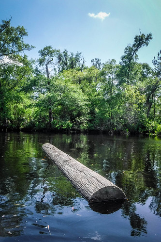
As we got closer to the boat ramp and the river got wider, it seemed that the current had reversed itself. The incoming tide exerted more influence than the weak downstream current. Thick matted rafts of spartina grass floated upstream. At one point we encountered a free-floating log, also coming upstream. It looked like it had been part of an old telephone pole.
Soon we found ourselves back at the boat ramp. We had only been on the river three hours, but we had covered over five miles.
This was an excellent trip, and I’m glad Tim suggested it. I’m also glad Frank was able to join us. The next day, Tim and I had an even longer trip planned with the rest of our friends on the May River, not too far from here. I needed to rest up and recharge my camera batteries.
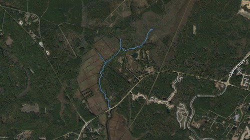
Here’s a map of our excursion on the New River. You can clearly see some of the plantation canals that we explored.
Here’s a slideshow of all of the photos from the day.













Cool!