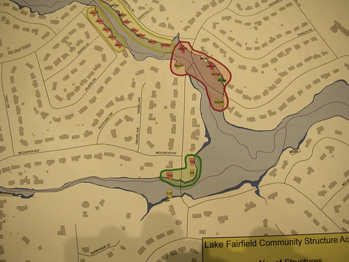
Seems like I’ve been looking at tons of GIS data lately. I spent most of last evening and almost all of today poring over Spartanburg County data for our attendance zones. So what do I do when I get home, I go to a Greenville County Council meeting and look at more GIS maps.
Our neighbor Perrin alerted us to a meeting to discuss the flood remediation plan for the Lake Fairfield/Brushy Creek watershed. She road with us to County offices to hear a presentation of those plans.
We were presented with two scenarios. The first involved lots of dredging and constructions of floodwalls at an astronomical cost. The second plan requires to the county to buy out the affected properties and leave the floodplains essentially vacant. Guess which one was recommended? Of course – simply buying everyone out. One of our neighbors who would probably be bought out asked if the county would provide any help for relocation. The concern was conveniently sidestepped.
Should the recommended proposal be accepted, the end of our street would become a cul-du-sac. Several houses on our street would be removed. The lake, however, would be left as is, and would most likely continue to silt in.
That is, of course, assuming County does anything at all. Even the lower cost proposal costs more than County has budgeted right now.
