Laura and I had to make an extended trip down to Florida to assist with her mother. Since her sister, Amy, lives right on the water, I try to get in as much paddling as possible. This time we had a few pesky tropical storms get in the way. Even so, I was able to set a personal best pace for a long paddle, and spend some time on a peaceful island.
Day One
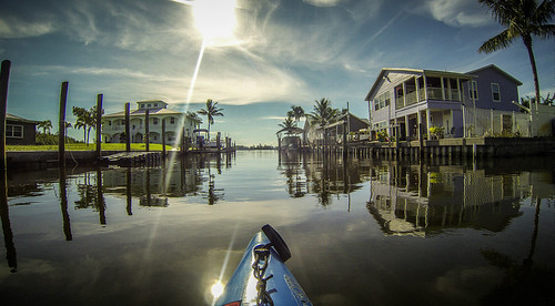
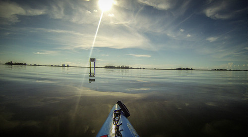
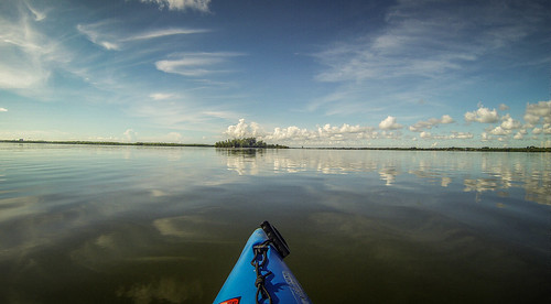
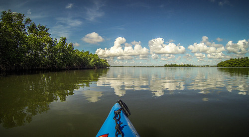
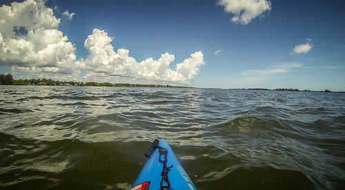
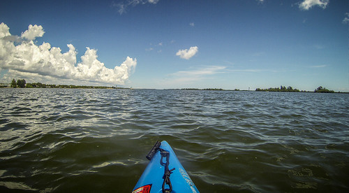
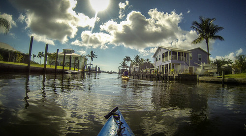
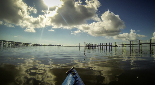
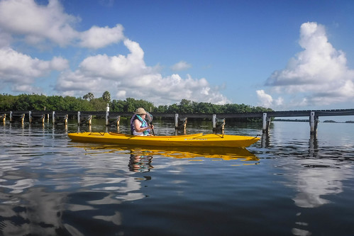
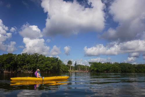
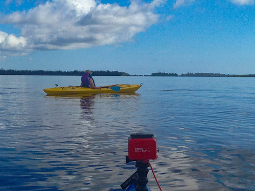
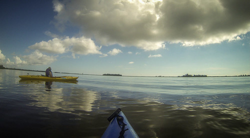
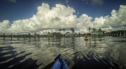
The day after we arrived in Fort Pierce was sunny and calm. There were none of the high winds that had plagued me on previous trips. I set off across the Indian River, planning to spend time on my favorite island. The water was almost glassy.
I should have known. With Memorial Day weekend just past, campers were occupying both spoil islands closest to Amy’s channel. I sent Laura a text saying that I’d be out on the water a bit longer. I just didn’t know how much long that was going to turn out to be.
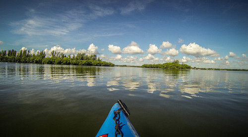
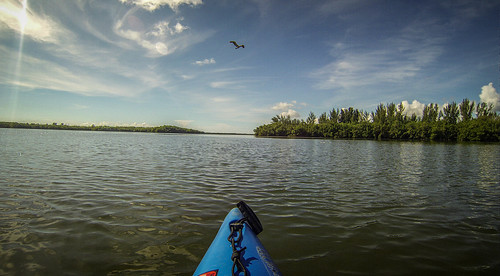
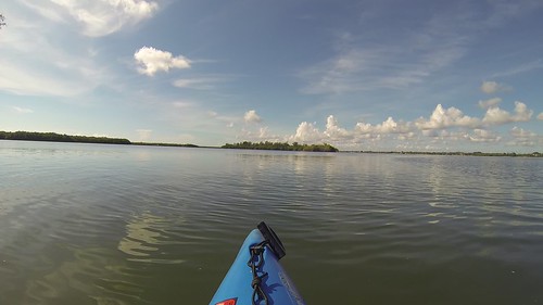
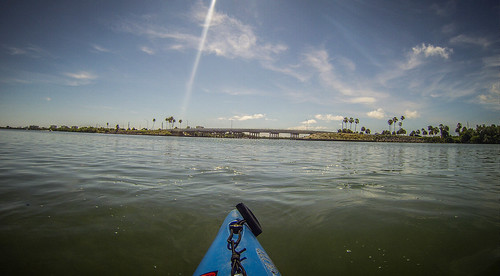
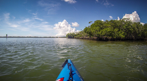
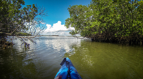
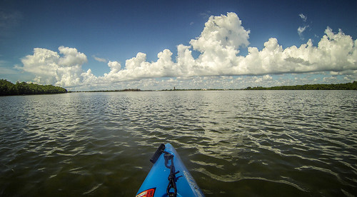
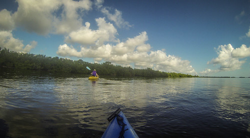
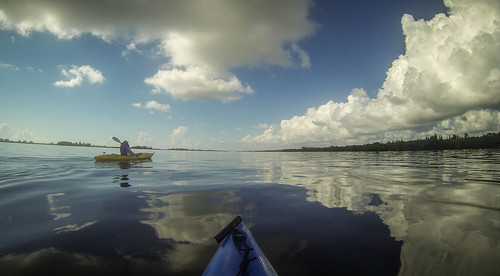
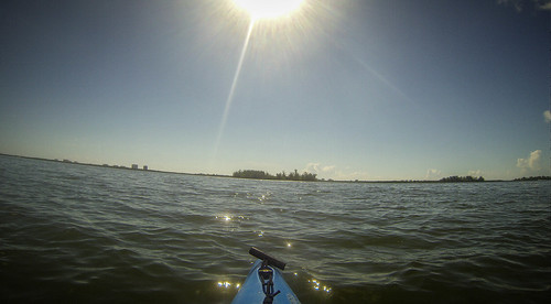
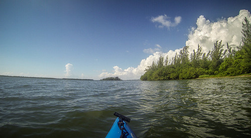
I continued my trek up the chain of spoil islands, just enjoying the cruise along the smooth waters. I was moving fast and easy.
A bit of video…
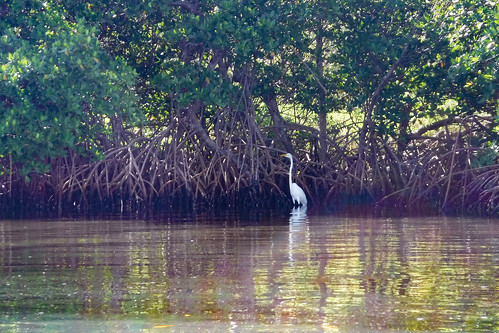
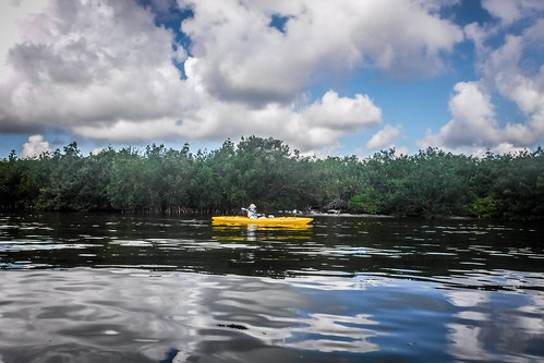
Eventually I reached the entrance to the old inlet. I had to decide whether or not I was going to explore the mangroves around the inlet, or continue on toward new territory. It was starting to get hot, and the shade of the mangroves would be a nice relief. However, I opted for new territory.
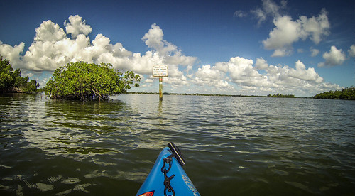
There was quite a bit of boat traffic. I stayed on the eastern side of the spoil islands, away from the main channel. Occasionally I’d spot another kayaker out and about, or a “flats boat” with a shallow enough draft to let fisherman come into the waters out of the main channel.
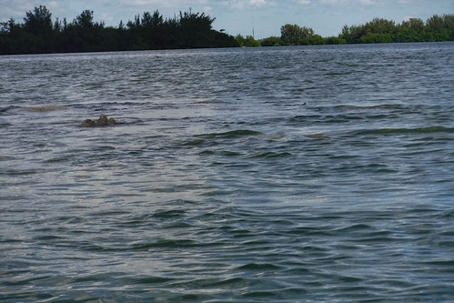
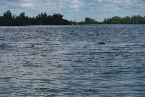
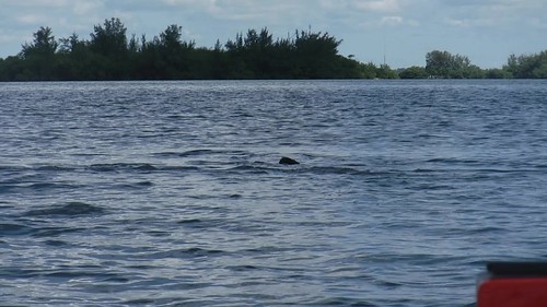
As I rounded one point I noticed a commotion in front of me. A group of about six manatees was swimming ahead of me. Since I’d had a close encounter with one on my last Florida trip, I kept my distance. I never was able to get a shot of a head, but their bodies and tails came into view several times.
The GoPro didn’t pick them up very well, but I did shoot this bit of video with my Fuji camera.
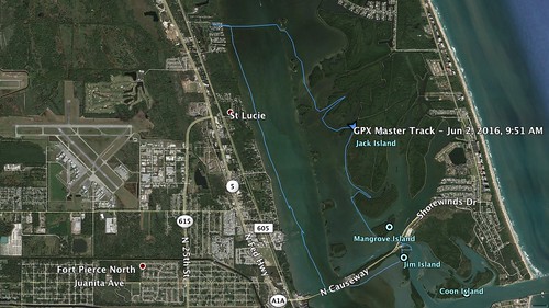
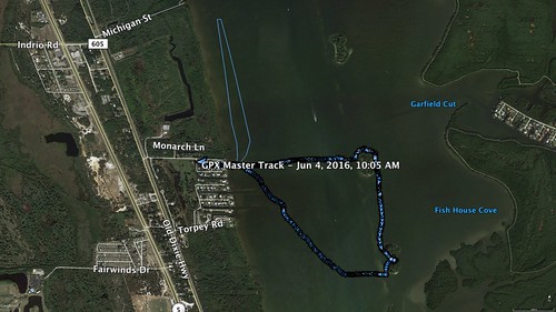
I watched for awhile, then decided to press on. Since conditions were so good, I thought I might try paddling down to Little Jim Bridge, out to the big inlet, then come back under the A1A drawbridge. I wasn’t sure of the distance, but I was already almost at Little Jim.
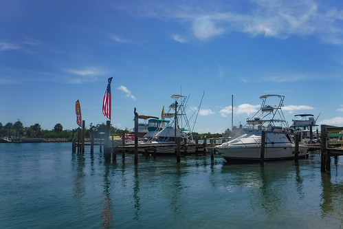
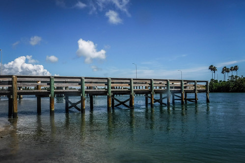
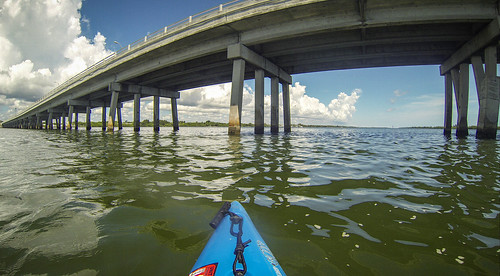
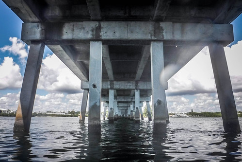
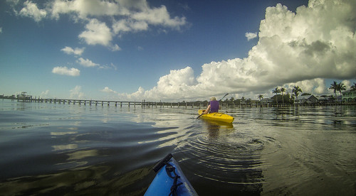
Little Jim Bridge is a popular local hangout. I couldn’t find any information about who “Little Jim” might have been, but the first bridge connecting the mainland with North Hutchinson Island was built in 1926. Even then it was a popular fishing spot. The bridge was replaced in 1946, then again in 1963. During WWII a guard shack for a training facility stood on the western end of the bridge. Sometime in the 1950s that shack became Little Jim’s Bait and Tackle, an establishment that has gone through several owners, but still thrives today. In addition to the shop, there is a small marina. Across the channel is a relatively new boat ramp.
I pulled up to the little beach below the store, kicking myself that I hadn’t brought a wallet or any money. A cold drink would certainly be good. I know I’ve been in the Little Jim store before, but I couldn’t remember anything about it. Just above the beach was a truck renting SOT kayaks, and a father and son were heading out on a fishing expedition on a tandem SOT. Since I had no money, and didn’t want to leave the boat unattended, I decided to head out, too.
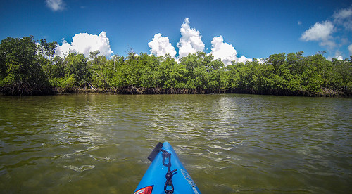
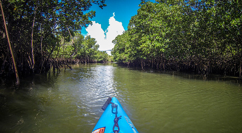
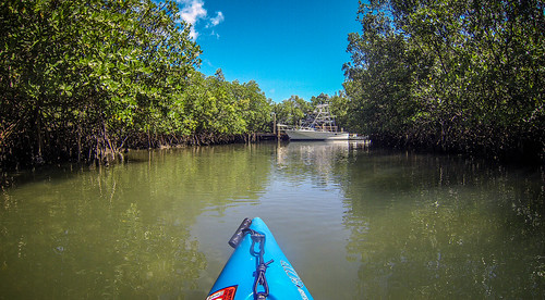
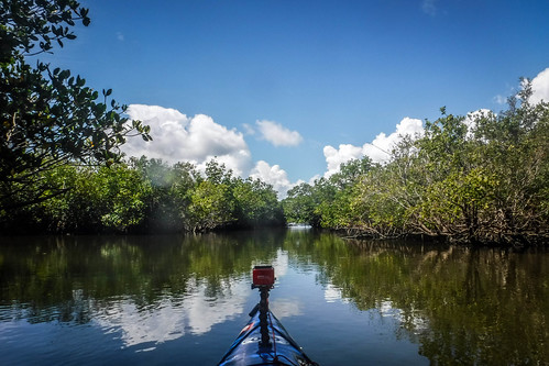
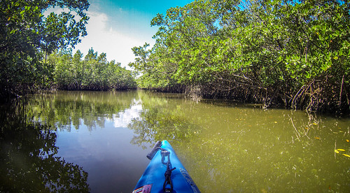
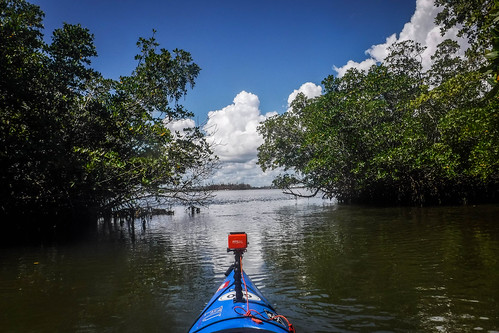
Little Jim Cut connects the old inlet area with the actual inlet. Many boats use this as a shortcut. I’ve been through this way many times myself, and wasn’t looking forward to sharing the narrow channel with fast boats. I found a small mangrove tunnel winding to the north, and decided I like that better.
The mangrove tunnel came to a T junction. To the right, the channel led back to Little Jim. To the left were more mangroves.
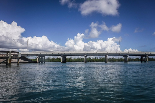
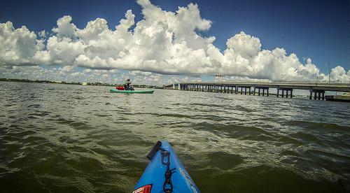
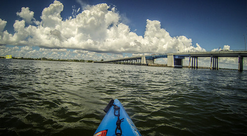
I checked out the right channel briefly, then continued left. The channel turned a bit north, then popped me out onto the inlet, much closer to the main drawbridge than I had expected to be. The mangrove tunnels had shave nearly 2 miles off of my trip, which was a good thing. I was getting tired and hot, and the tide was starting to go out.
Another kayaker came by and commented on how fast the tide was going out. I had a battle on my hands. I crossed the channel and headed under the bridge. I turned north into the current.
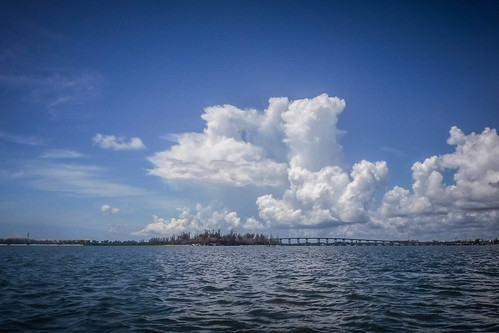
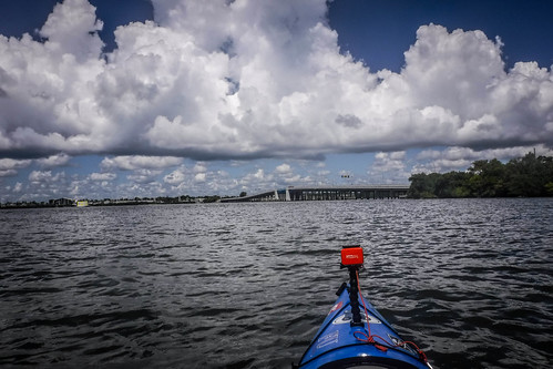
From this point on I didn’t take many more photos. I just slogged away. Boat traffic had really picked up, so not only was I battle an outgoing tide, but also wakes and winds from the east. Half my energy was spent moving forward, and the other half was spent keeping the boat pointed in the right direction. It didn’t help that thunderheads were beginning to loom to the north.
I called Laura at one point with a progress report. Apparently we had a bad connection, because my general comment about aching arms came across as, “arm…hurt.” She was worried. When I still hadn’t arrived by my estimated time, she called again. Fortunately, we had a better connection this time, and I was able to give her a better update.
In all, I paddled nine and a half miles. I did that with almost no stops, and at a brisk pace. The entire trip took 3.5 hours. We normally do that much in a full day of paddling.
Day Two
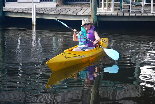
Actually, this was Day Three of our Florida trip. Two was spent doing errands. Day Three (Day Two of paddling) was just as hot and calm as Day One, but somehow I convinced Laura to join me. She took the tandem, set up for solo paddling. She doesn’t like to cross the channel to the islands, so we paddled north, staying close to the shore.
We enjoyed floating and watching the mullet jump. There were lots of them.
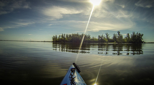
We paddled out about a mile, then headed back to the house. I wasn’t done, though. I left Laura back at the house and headed out to the islands. I paddled straight across the channel, then up north to my favorite island.
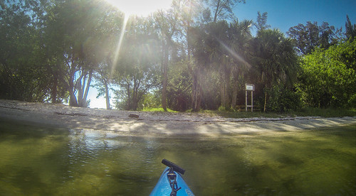
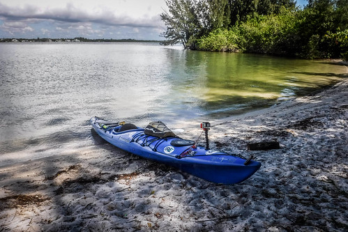
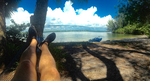
To my delight, there was no one there. I set up camp, complete with my trusty string hammock. I just hung out there. Even though I have a nice new ENO hammock, this string hammock has been with me since Furman days, 30 years ago. I still keep it in my emergency dry bag. I could even use it as a fishing net, if I were really stranded.
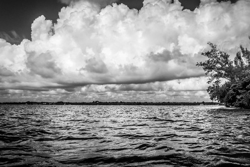
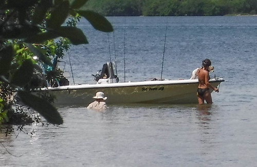
Life was good. Then, the thunderclouds started building, and invaders arrived.
Life was still good, but I wasn’t sure I wanted to share my island. Plus, Tropical Storm Bonnie was threatening one side of the state, and TS Colin was forming in the gulf. It was time to head back. Today’s trek was a total of four and a half miles, a couple of those with Laura.
Between errands, heat, and storms, it would be awhile before another trip.
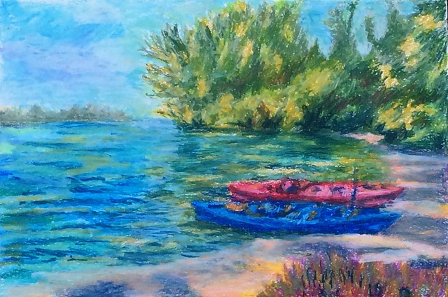
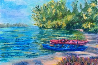
UPDATE: I forgot to mention this… Ken Cothran took one of my photos from the island trip and did his own rendering using oil crayons. He added one more kayak to his interpretation, and called it “Gilligan’s Island is Real.” His painting graces the header image for this post. Thanks, Ken!
My arms hurt just thinking about that long first trip.
Dang it. I meant to add a bit about you painting. Got one more edit to do.