
“It is hard to understand why our town must be destroyed to make a bomb that will destroy someone else’s town that they love as much as we love ours. But we feel that they picked not just the best spot in the US, but in the world.”
Sign created by Bonner Smith
December 1950
I was out on a photo expedition, looking for several ghost towns in the Savannah River Basin. Earlier in the day I had visited the lost town of Hamburg, South Carolina. Now I was after several of the towns that had been displaced by construction of the Savannah River Plant.
Earlier this year my friends Tara and Robin from Sciway.net sent me a DVD on the history of the “Atomic Towns.” “Displaced: The Unexpected Fallout from the Cold War” was a Southern Lens production from SCETV, and told the story of Ellenton, Dumbarton, and several of the other farming communities in the area. I knew about the towns and had them on my list of ghost towns for inclusion in my book, but didn’t thing there was a reason to visit because of lack of access. Watching the video changed my mind, though. Since I was already down here I had to check it out.
Atomic Towns
The story of the displaced towns within the Savannah River Site (SRS) is very compelling. As such, its history has been well-documented. In addition to the aforementioned video there is a play, multiple books, and lots of websites dedicated to the memory of those communities.
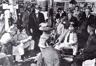
In a nutshell, in 1950 President Truman approved selection of a site in South Carolina to build the hydrogen bomb. Approximately 6,000 residents within a 300 square mile area were informed that they would have to sell their property and move. This included the towns of Ellenton and Dumbarton, as well as smaller communities such as Meyer’s Mill. The image below shows a group of Ellenton residents gathered around the stove at Cassalls Store discussing the situation after learning the news.
In the SCETV video it was pointed out that residents were given precious little time to get their belongings and move. The government settlements terribly undervalued the property, and many faced substantial financial loss as they had to quickly find a new place to live. Imagine if you were a farmer, and that was all you had done in life. You lived on land that had been in your family for generations. Suddenly, you’re paid a paltry sum for your land and forced to move. Where do you find another farm, with associated start-up and moving expenses?
Construction on the reactors at the “Bomb Plant” was begun in 1951, and the first of these came online in 1953.
Fast forward to the present…
Growing up in South Carolina I remember seeing this area blocked out on state maps, kind of like a no-man’s land. At the height of the Cold War travelers on Highway 125 through the site had to check in at the entrance. If they didn’t reach the other side within a reasonable amount of time, an alert was issued. I knew those restrictions were no longer in place, and I already had an idea of the lay of the land thanks to Google Earth, but I still wasn’t sure what to expect.
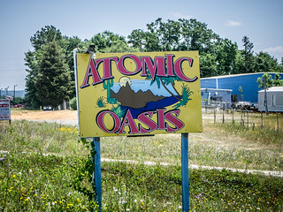
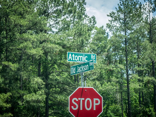
Leaving North Augusta SRS makes its presence known in not so subtle ways. I saw lots of signs for Atomic this or that. Even the highway bears the moniker “Atomic Road.”
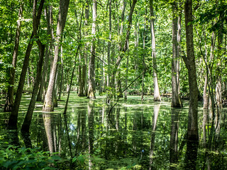
I continued on the Atomic Road until I got to the community of Beech Island. There Old Jackson Highway branched off to the west. I decided to take this route since it ran closer to the river. At one point I turned down Gum Swamp Road and chased it for a few miles until it came to a dead end. I did find a swamp, though.
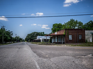
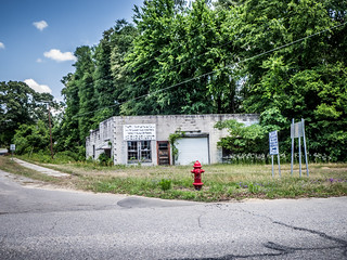
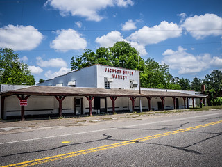
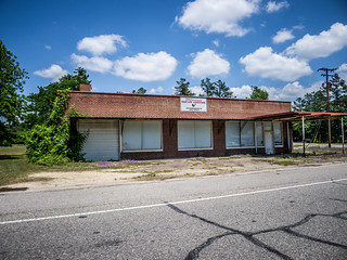
Back on the Old Jackson Road I eventually reached the eponymous town. There were a few houses around, but the main business section could easily be one of my ghost towns. Actually, Jackson had a split personality. The west side of Main Street had a nice modern post office and municipal facilities. The east side of the street had abandoned storefronts.
Main Street dropped me back on the Atomic Road and soon I was back on my way.
Highway 125 divided with one fork heading north to a checkpoint, and the other on into the site. With my GoPro mounted on my windshield, I drove onto SRS property taking the route without a checkpoint.
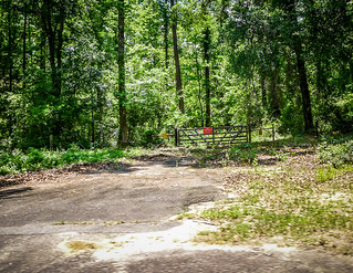
The next 18 miles were pretty much like like any other long stretch of rural South Carolina highway, but with a couple of exceptions. There were signs warning against stopping anywhere along the route, and there were fences and checkpoints across any connecting route. There were also routes that used to exist that were now blocked off with K-rails.
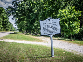
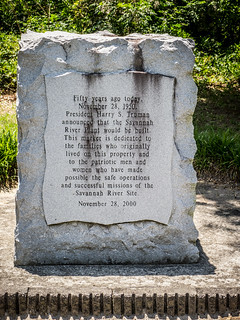
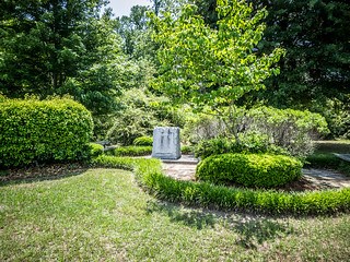
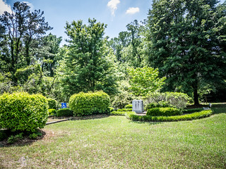
Soon I reached the only place where one is allowed to stop on the highway, the Ellenton Memorial. I pulled off to take a look.
At one point this was the site of the Ellenton Post Office. The Main Street ran to the west, but was now blocked off with another checkpoint.

I continued on my way. At one point a logging truck had blown a tire and pulled off to the side, still blocking one lane. I wondered how long it would be before he was paid a friendly visit, most likely a welcome one given his situation.
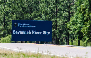
More former roads turned off right and left, all of these blocked. Soon enough, however, I was out. I found myself looking back at the SRS sign.
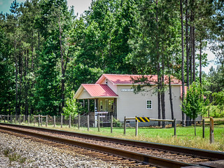
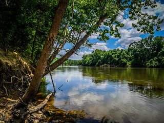
Just past the entrance a brown sign indicated access to the Savannah River. I decided to check it out. The road crossed the railroad at Hattiesville. This was once a former community, but the only thing there now was a cottage with a depot sign. While it looked cool, I knew it wasn’t a real depot. The river landing a couple of miles on down looked like an excellent place to launch a kayak. I paused for a moment to rest from all the driving.
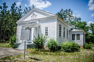
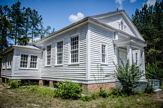
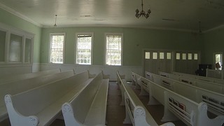
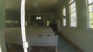
Having rested a bit, I drove back to Highway 125 and continued on my way. I checked my Field Trip app and saw that there was a historic church not far away. I decided to check it out. This brought me to Speedwell Methodist Church. It was a beautiful white frame structure in Greek Revival style. I took a few photos, including a couple of the interior with my GoPro mounted on my monopod.
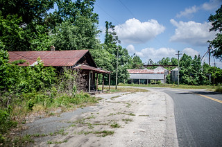
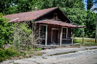
There was a small cemetery, but I didn’t explore it. I drove on back to the main highway. For some reason, I decided to turn down the next road over, and that’s where I hit ghost town paydirt. I was in the town of Millett, or Millettsville.
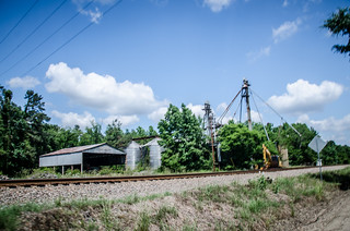
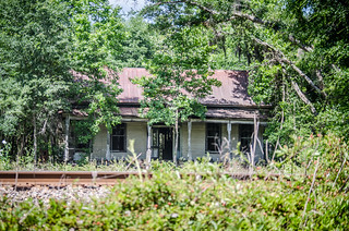
Once this had been a thriving farming community with multiple businesses, a railroad depot, churches, and schools. Now there was only one abandoned store an an old cotton gin. Several old and abandoned houses sat on either side of the rails. The old Zion Baptist Church looked like it was still in use…just barely.
Apparently there had been a website dedicated to a history of the community at www.historicmillet.com. However, the domain name was allowed to expire and the website is going. Fortunately, I was able to find some of it on the Wayback Machine at www.archive.org. I was also able to find a Sanborn Map from 1928, which also shows a substantial town. I definitely need to do some more research on this location. I’m kicking myself because I passed right by an old Rosenwald School and didn’t know it.
Back on 125 I passed Dunbar Store, and the Lower Three Runs Baptist Church. I found myself in the community of Martin. Martin had been on my list, but looking at it I decided that Millett was a much more attractive target.
I was getting tired. A cup of coffee would be great, but I didn’t think a Starbucks was on the route. I drive into Allendale, then turned on 278 toward Barnwell. I took a quick detour over to Appleton, where I found an old community with a general store.
Back on the main route I passed through the community of Kline. The brightly colored depot caught my eye. It looked like it had been moved form its original location. There was an old general store near the depot, and a two-story store across the tracks on the main highway.
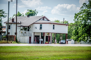
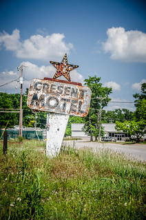
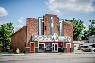
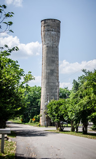
I made it to Barnwell. I found an interesting old motel, and interesting old theater, and even a standpipe.
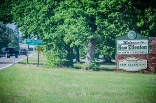
I was getting VERY tired by this point, but I had one more place I wanted to stop. If I had visited the site of old Ellenton, then I should at least check out the town of New Ellenton. I skirted the eastern edge of SRS and eventually found my way to the town. The intersection of 278 and 19 was quite busy as SRS employees were getting off work.
New Ellenton turned out to be a disappointment. The main street was a four lane divided highway, and rather than a town center there was a mishmash of stores along the highway. I’m sure it was hardly a replacement for what was lost in the relocation.
It had been quite a day. I had found most of the ghost towns I had sought, and even discovered a couple of new ones. Checking the maps afterward I found lots of places I should have also visited, but I was tired. I know I’ll have to head back sometime.
[fsg_gallery id=”46″]


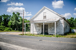
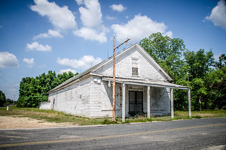
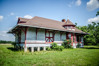
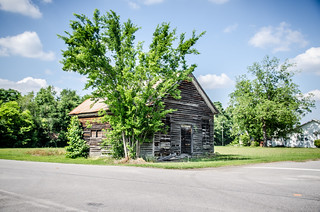
Thanks for visiting our area. I enjoyed reading what you wrote. It appears, however, that you have placed photos of Allendale in Barnwell.
Kathy Orr
Blackville, SC
Do you know anything about random headstone/gravesites along Hwy 125? We traveled down hwy 125 on our way to Hilton Head and noticed what appeared to be single gravesites in a short stretch of road. They were close to the roadside and had brick probably two feet high or so in a large rectangle. We assume they were a gravesite but we did not stop as there was not many places to turn around once we noticed them. I’ve tried searching the web but your site here is all I’ve found with any information on that general area.