The target of our Second Saturday adventure was the old Santee Canal. In the previous post I presented a bit of the history of the old canal. Now it was time to do some ground-truthing. I was heading down a day early so that I could visit the Old Santee Canal Park and as much of the surrounding area as I could.
I loaded my boat, paddling gear, and camera gear Thursday so that I could get an early start Friday. With a three-hour drive down I would still be limited as to exploration time. I left the house at about 8:00 and had a fairly uneventful drive down to Moncks Corner at about 11:30.
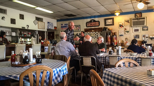
Since I was there at lunch I figured I HAD to stop in at Howard’s Restaurant. We had an amazing breakfast there before one of our Lowcountry Unfiltered excursions back in 2014, and had discussed meeting here for breakfast Saturday morning. However, we made other plans for the next day’s breakfast gathering.
As with our previous visit, the clientele all seemed to be locals and regulars. I was the lone standout. Wanda the waitress still dashed about the diner with frantic exasperation, while her mother Vern still ruled the kitchen. At least for lunch they had menus.
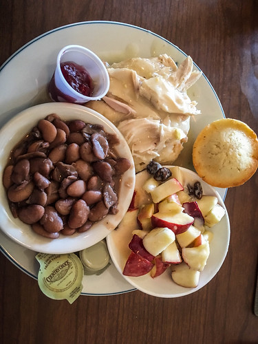
I ordered chicken pot pie and veggies, which were excellent.
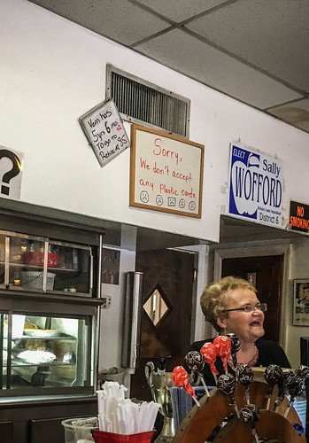
When I went to pay I noticed that Vern’s sign had been updated.
It now reads as follows:
Vern has 5 years 6 months to go to retire at age 85.
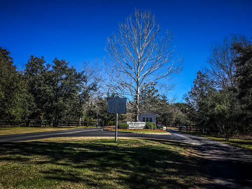
I found the Old Santee Canal Park with no problem. I did have a bit of a surprise, though. When the park was founded in 1989 it was part of the South Carolina State Park system. I had my state park annual pass all ready to go as a pulled up to the booth. However, the park is now no longer with the state park service, but has been taken over by Santee-Cooper, which has its headquarters close by. I haven’t been able to find out when that transpired. Regardless, the entrance fee was quite reasonable ($3 for an adult at the time of this writing), so I headed on in.
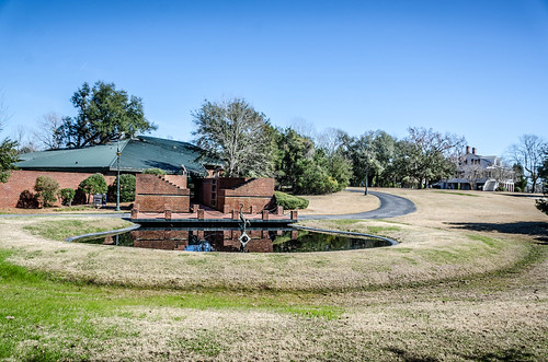
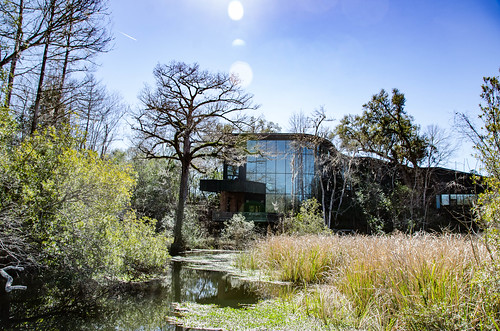
There are several attractions at the park. There is a modern interpretive center about the history of the canal, a restored plantation home, trails along the canal itself, and a building that houses the Berkeley County Museum. Since this trip was all about the canal, I headed to the interpretive center first.
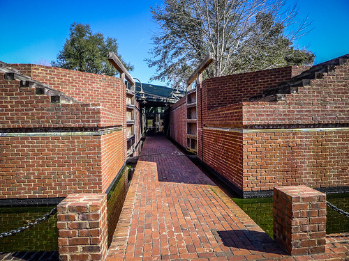
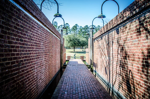
To enter the building you walk through a life-sized replica one of the canal locks.
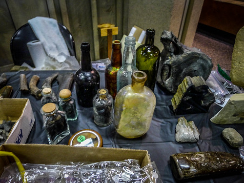
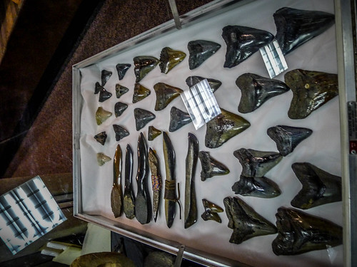
Inside I found a flurry of activity. That Saturday the park would be hosting their Discovery Days. Various vendors and re-enactors would displays set up all over the park. In addition to the usual interpretive displays there were tables set up everywhere.
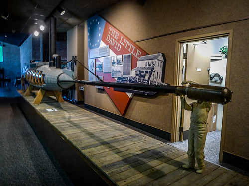
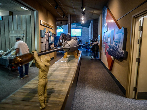
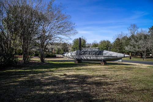
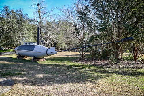
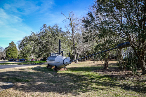
Prominently displayed was a model of the Little David, a Confederate semi-submersible with a long torpedo spar. A predecessor of the H. L. Hunley, the Little David was designed and built right here at Stoney Point Landing and was used against the New Ironsides (as opposed to Old Ironsides), causing extensive damage.
I found a good audio clip on Soundcloud that describes the boat and the battle.
As it turns out, an audio tour of the entire park is available on Soundcloud. I wish I had known this when I was down there.
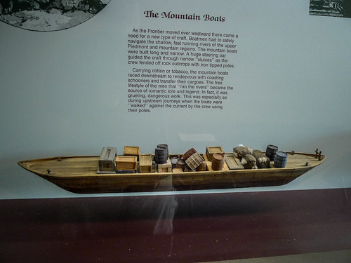
There was a display of the types of boats used on the canal. One of the things I found fascinating was a display of “mountain boats.” These look very much like the “Petersburg boats” used on the Savannah River transporting goods from Petersburg to Andersonville and back down to Augusta.
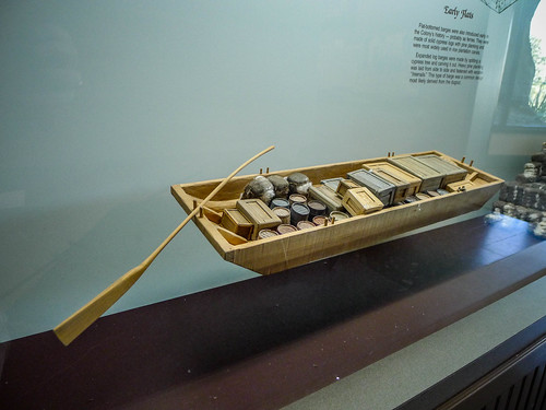
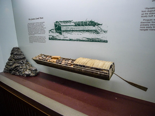
The other boats were more what I would have expected – large flatbottom boats either poled or towed along the canal.
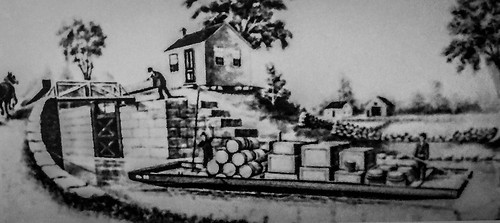
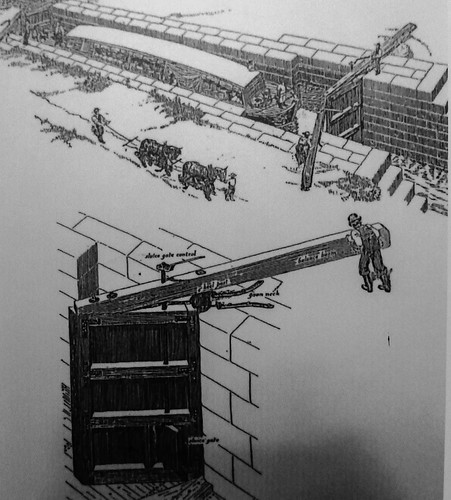
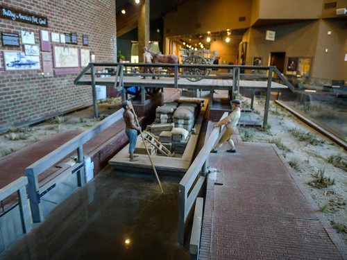
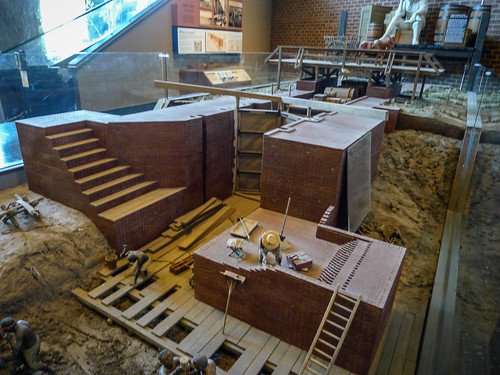
There were other displays about the operation of the canal and the locks, including several models.
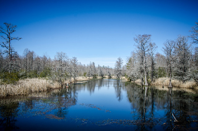
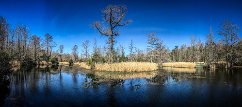
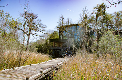
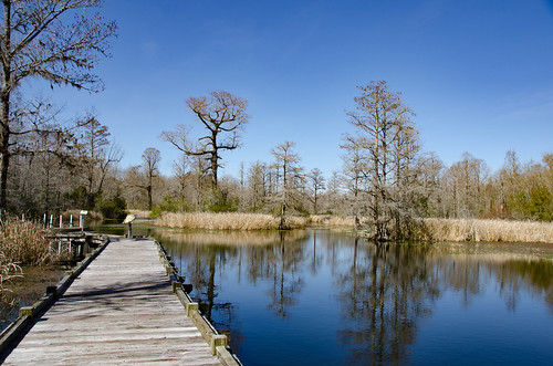
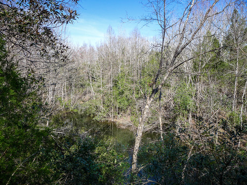
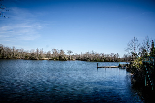
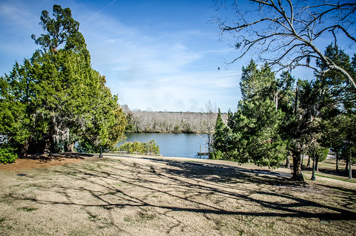
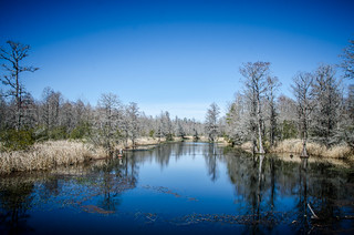
The afternoon was slipping by. I wanted to get out and see the actual canal. I took a steep staircase down the bluff to the water’s edge. There I found a launch for rental canoes and a fantastic view along Biggin Creek. Boardwalks led along the water with even more views of the interpretive center.
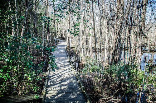
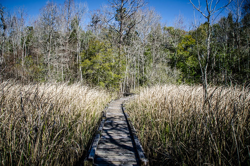
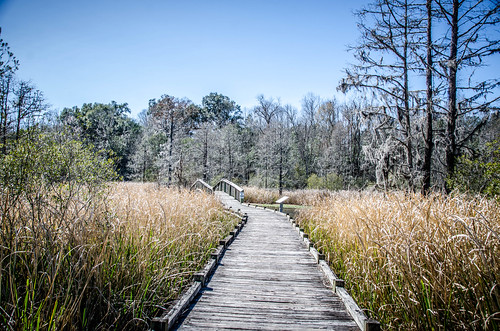
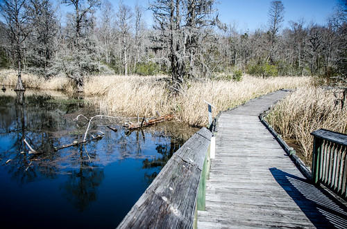
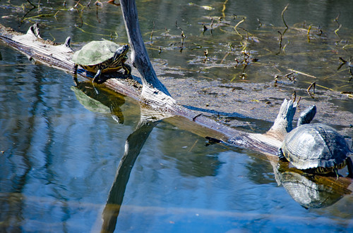
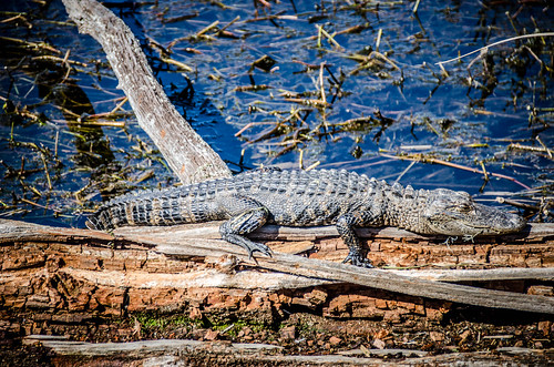
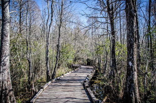
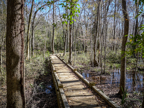
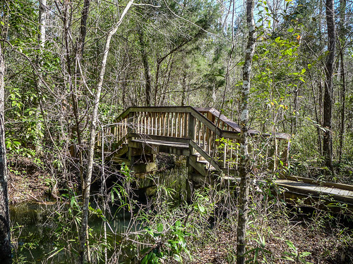
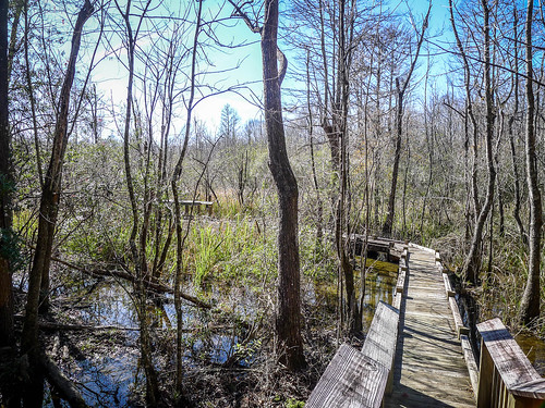
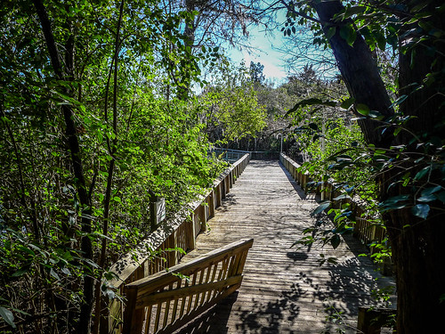
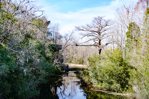
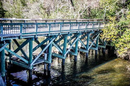
I decided to take the trail along the limestone ridge that separates Biggin Creek from the Tailrace Canal. Before I reached that trail, though, a side trail connected to the other side of the creek. There was a long boardwalk through tall grasses and a nice bridge across the creek. I walked out to the bridge for a view down the creek, but didn’t continue. Out in the creek turtles and a small alligator were sunning themselves.
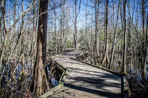
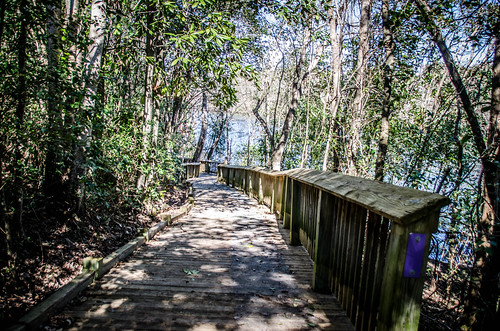
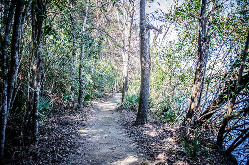
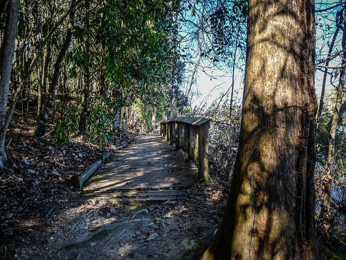
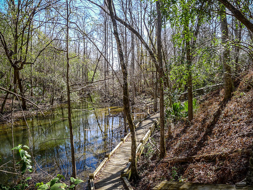
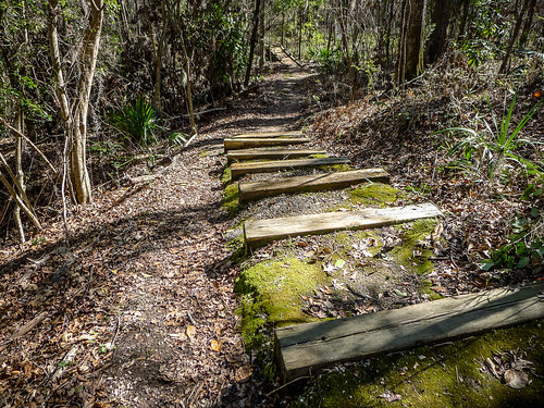
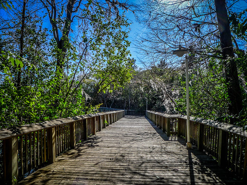
I retraced my steps and headed back up the ridge. Actually, there are two trails between the creek and the river. One follows the ridge line and is handicap accessible. The other descends to a boardwalk along the Tailrace Canal. Various side trails lead out to viewing platforms along Biggin Creek. I took the trail along the Tailrace, and for the time being ignored the side trails. I wanted to get to the actual Santee Canal, which is about a half mile up the creek from the interpretive center.
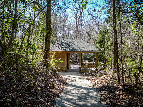
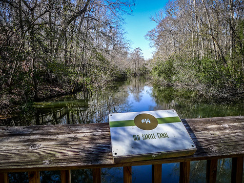
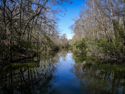
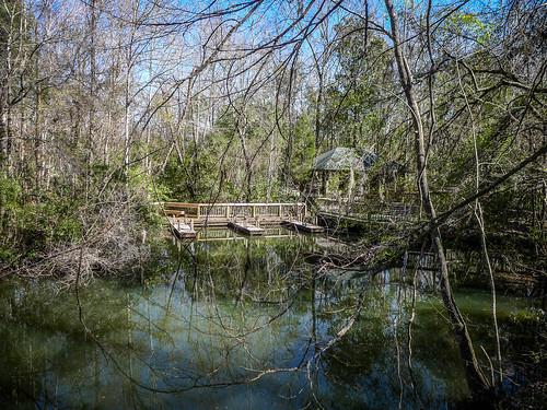
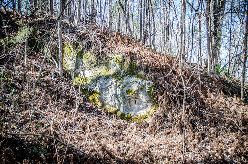
Eventually I reached a covered shelter where Biggin Creek turns into the Santee Canal proper. It’s fairly narrow at this point. There was a fairly large platform for hosting small classes. The trail continued up over the other side. I could see limestone marl exposed along this area.
I had great cell phone coverage out here, so I decided to do a Facetime Live video.
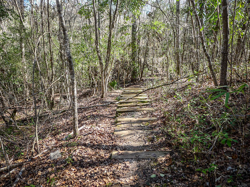
After the video I continued on up the trail to the top of the next ridge and headed back toward the park center. There were a couple more viewpoints looking out over the creek.
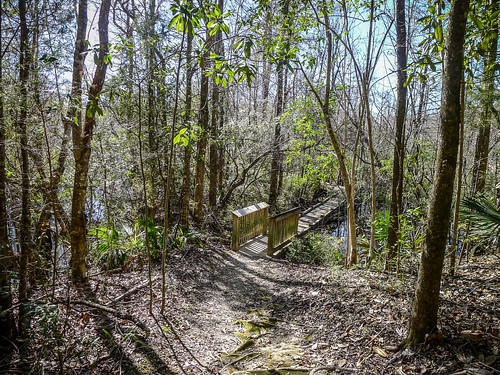
I came to another branch of the trail where a side trail dropped down, crossed the creek, then reconnected with the trails I’d just been on. I decided to follow it, heading back in the direction of the Tailrace. It connected to another low boardwalk and crossed the creek on a small bridge.
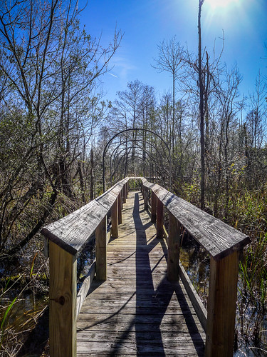
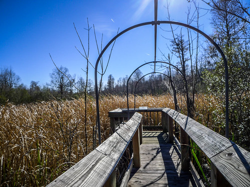
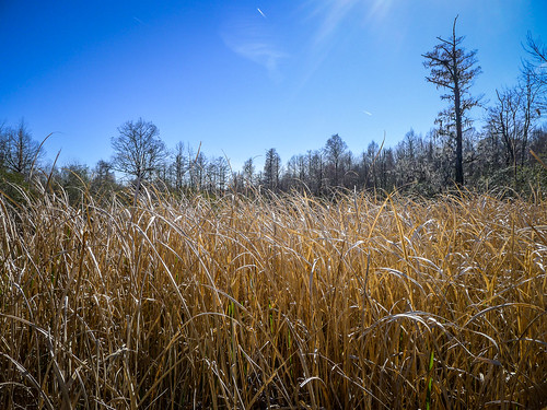
Since I had taken the lower trail next to the Tailrace Canal earlier, I stuck with the ridge trail on the way back. I came to another viewpoint and decided to check it out. It recrossed the creek then followed a long boardwalk out to a viewpoint in grasslands along the creek. This boardwalk was unique in that arched metal conduit covered the walkway. Apparently the park can drape something over the trail to turn it into a wildlife blind. I’d love to come back when they have that in place. As I stood at the viewpoint I heard barred owls in the distance.
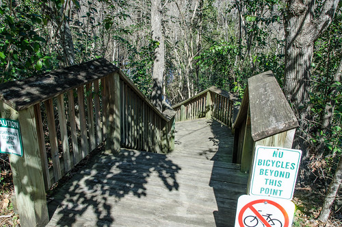
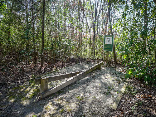
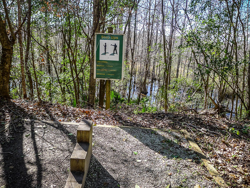
Back along the main ridge trail I started to see several workout stations. Some of these had spectacular views over Biggin Creek.
The trail I was on intersected with my outbound trail, then dropped back to the Tailrace Canal. Soon it reached a wide bridge over Biggin Creek at its confluence with the Tailrace. Across the canal to the left I saw the entrance to Wabdoo Creek where I had paddled before. To the left was a view of the interpretive center. Ahead was the restored Stoney Point Landing house. Below the bridge a floodgate controlled water flowing between Biggin and Tailrace.
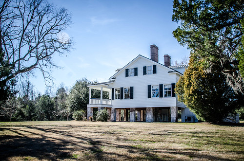
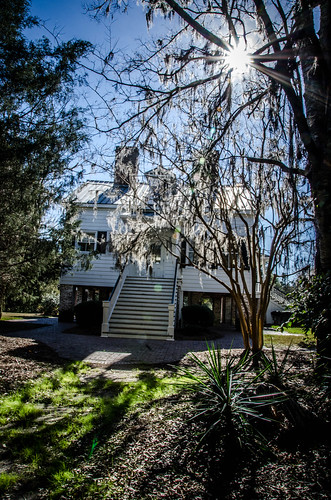
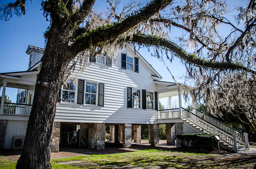
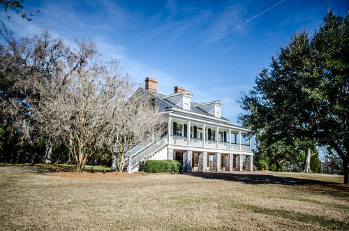
The Stoney Landing House was built around 1843. It was remodeled several times, but has been restored to how it was in the 1850s. It’s been the home of Dr. St. Julien Ravenel who developed the Little David, and Rembert C. Dennis.
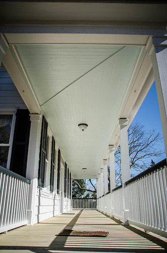
The house was closed, but I walked up to the porch and around it. The ceiling was painted a light color of haint blue.
The afternoon was getting away from me and I still had the museum to visit. That was my last stop in the park. Outside of the museum was a full-sized replica of Little David.
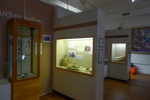
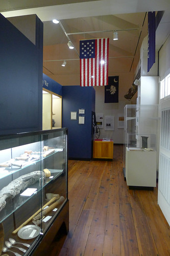
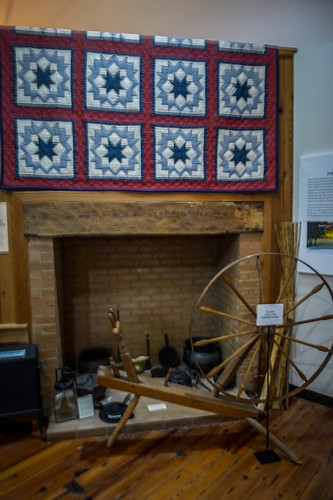
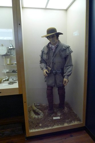
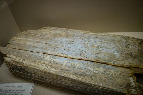
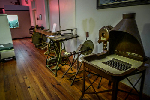
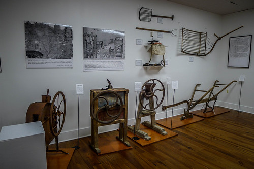
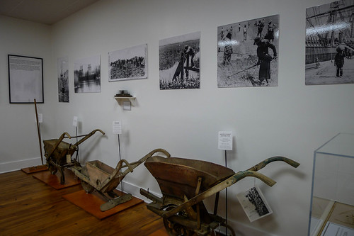
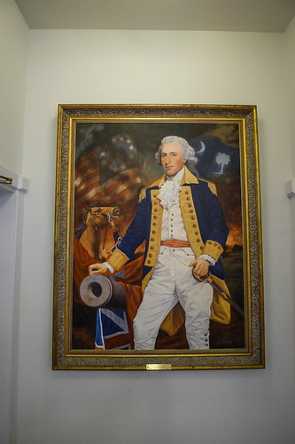
Inside there were the displays typical for a county museum. It was a nice collection covering Revolutionary War (mostly Francis Marion), Civil War, the canal, Santee Cooper, and other county history.
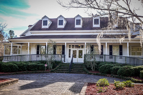
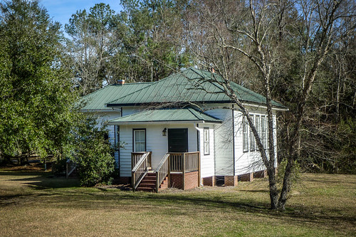
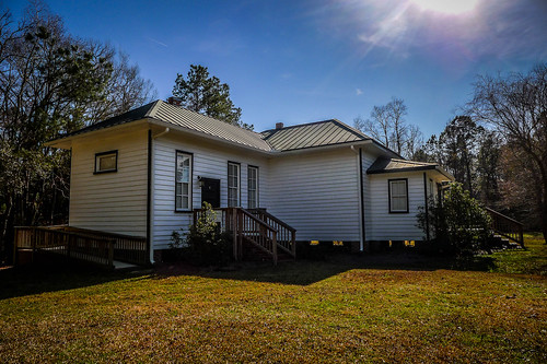
Next to the museum building is a building I recognized immediately as an old schoolhouse. I asked about this, and the curator said that it was the old Whitesville School. It was moved to this location from its original spot on the other side of Moncks Corner. It’s now home to the Berkeley County Historical Society.
I wish I’d had more time to visit the Old Santee Canal Park. There are paddling trails, which looks like a great way to explore the park more closely. This looks like a great place just to hang out and watch wildlife.
Even though the afternoon was disappearing I still had quite of bit of exploring to do. I know I’d said that there would be parts 1,2, and 3 in the last post, but it looks like there will be four parts. Sorry about that. Friday’s explorations conclude in the next post, which will be part 3, followed by the actual paddling trip in part 4.

First three ports, but now four? Sounds like the experience of that person who wrote the Eragon series. Paulini, I think.