Saturday, August 2, 2014
It was time to continue our trek up the west coast. We weren’t really sure where we would end up today, but from Aunt Ellen we had gotten suggestions about a couple of place we wanted to stop along the way.
We retraced our steps northward from yesterday’s trip, driving along miles and miles of dunes. It would have been tempting to stop at several of the locations with dune overlooks, but with Dunefest in full swing that wasn’t very appealing.
Soon we came to the town of Florence on the Siuslaw River. As we crossed the river we made note of the fascinating architecture of the bridge. It turns out that this is one of the historic bridges along this road designed by Conde McCullough, an architect active during the 1920s and 30s. McCullough had a penchant for adding art deco elements to his designs, such as unusual obelisks at the entrances to the bridge. We had already crossed several of his bridges, including the ones at Coos Bay, Umpqua River, and Gold Beach. This wouldn’t be the last one we crossed today.
The town of Florence looked like it would be a great place to explore, with an interesting waterfront along the Siuslaw. However, we kept going. The dunes also continued, ending abruptly at Cox Rock, near Sea Lion Point. The dunes stretch for over 35 miles of the Oregon Coast, and it was interesting seeing the massive piles of sand right up against the highway in some areas. I had to wonder about the shifting nature of the sands, and how hard it must be to keep the highway clear. I was also glad it wasn’t exceptionally windy in an open top car.
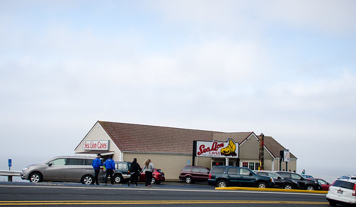
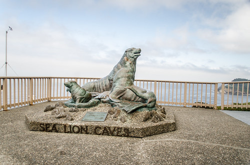
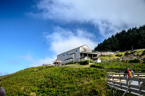
A couple of miles beyond the dunes we came to our first stop of the day, Sea Lion Caves. This was a tourist trap, plain and simple, capitalizing on one of the largest sea caves along the coast. Still, we wanted to check it out.
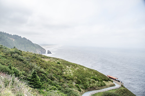
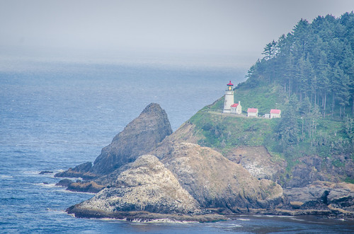
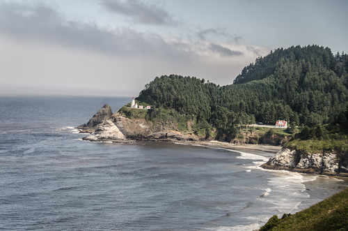
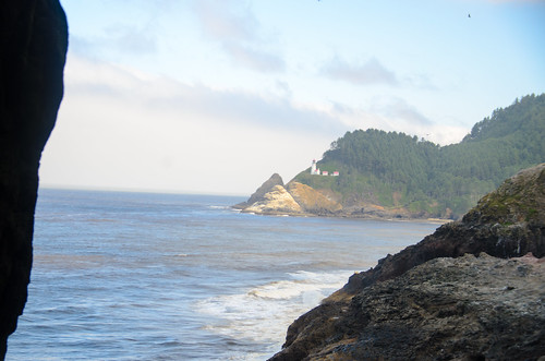
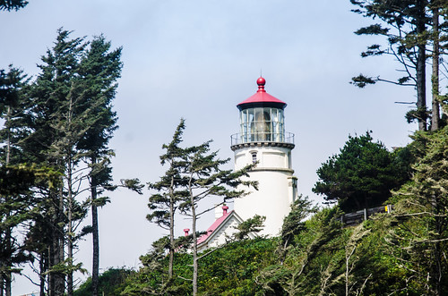
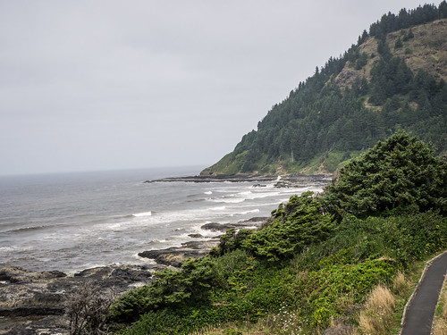
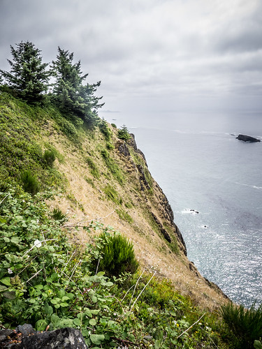
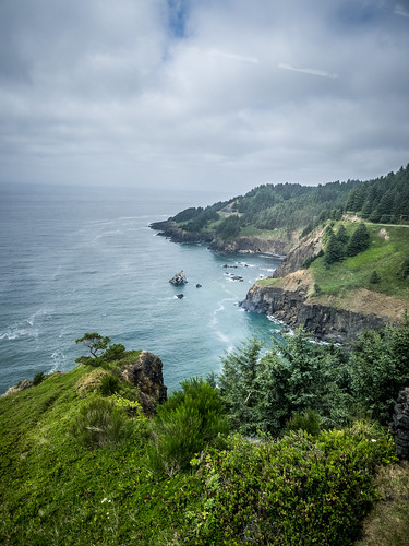
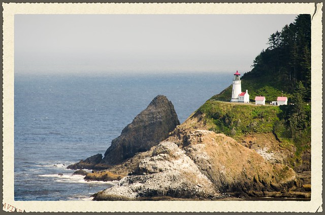
Even before going into the attraction we had fantastic views to the north and south. To the south we could see the boundary line between the Oregon dunes and the rocky coast. To the north we could see the Heceta Head Lighthouse.
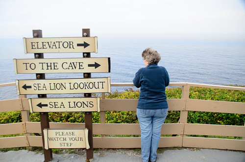
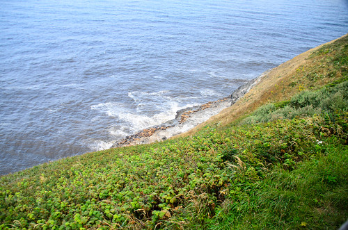
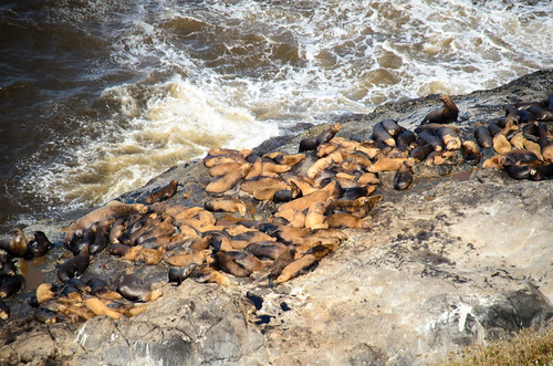
It was $14 bucks each to tour the caves, but we decided to go for it. To the south a trail descends to an overlook. We went down that way. The overlook provided limited views to the south because of the shelter. However, we could see a large rock where most of the sea lions were hanging out today.
I was glad I had brought my long lens with me. There were also some shore birds out and about.
Since the sea lions were out on the rocks, they wouldn’t be down in the cave. Having paid the entrance fee, we still wanted to see it. We climbed the hill back up to the shop then took the northern path down to the elevator, stopping at an overlook with views up to Heceta Head.
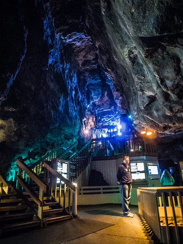
The elevator drops quickly down twenty stories to the cave itself. A 70 foot access corridor was carved from the elevator to the actual cave. This now contains displays and information about the cave, sea lions, and ecosystem.
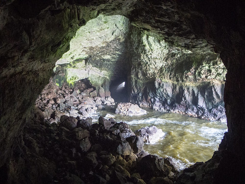
The actual sea cave is fenced off to protect the sea lions. We watched the waves splashing into the cave.
Here’s a bit of video…
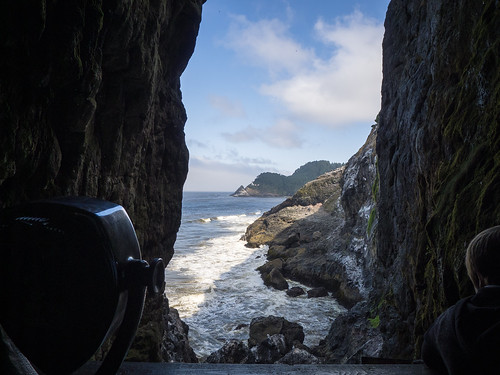
A set of stairs leads up to another opening into the cave. This section provides views northward to Heceta Head.
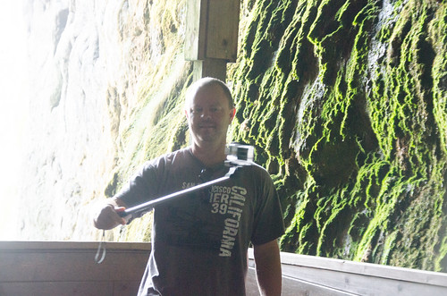
As we were admiring the view another family came up the stairs. The father had a GoPro on an extension Pole, and was shooting the same kind of selfies that I had been taking all week.
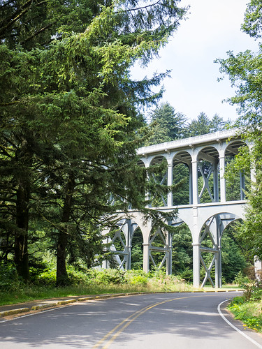
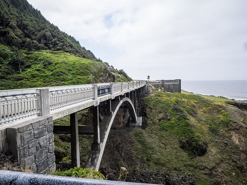
We made our way back to the elevator, then up to the shop. Back at the car we proceeded northward toward Heceta Head. The road too us inland a bit, then through a tunnel at Devil’s Elbow. It was actually a tunnel/bridge combination, because after exiting the tunnel we immediately were on a bridge crossing Cape Creek.
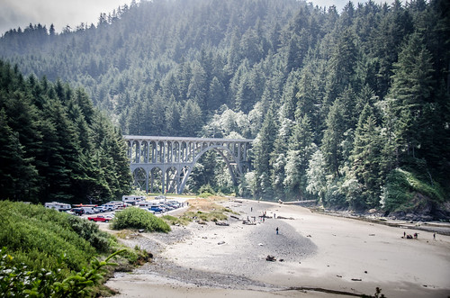
Our next stop was Heceta Head Lighthouse. The road exited to the right, then curved under the bridge. The bridge itself was a series of arches, the largest of which crossed the creek.
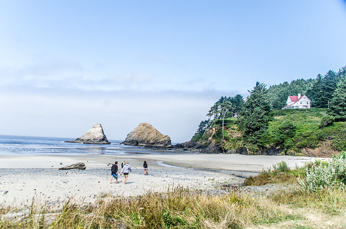
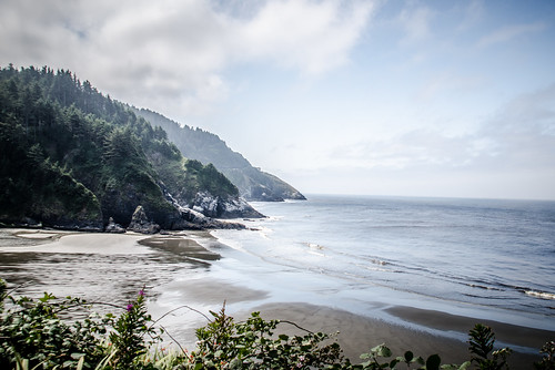
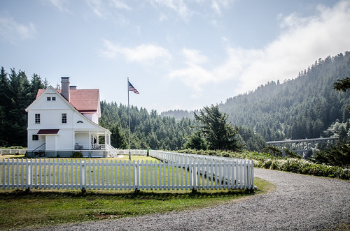
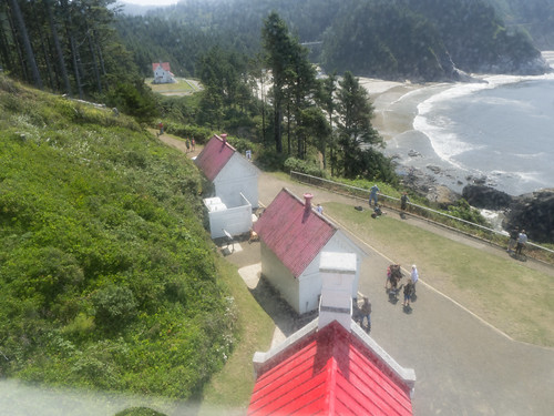
The parking area was down at Cape Creek Beach, a lovely (and popular) stretch of sand between Devil’s Elbow and Heceta Head. A path wound up to the keeper’s house.
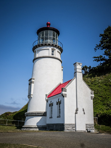
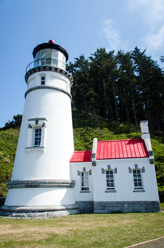
There were two keepers’ houses here. A single residence housed the chief keeper. That building has since been torn down. The larger residence housed the two families for the assistant lighthouse keepers. The building has now been converted into a B&B.
Heceta Head Lighthouse is almost identical in construction to Umpqua River Lighthouse. Light that lighthouse, this one is also still in use.
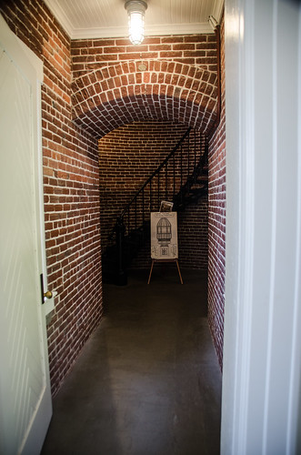
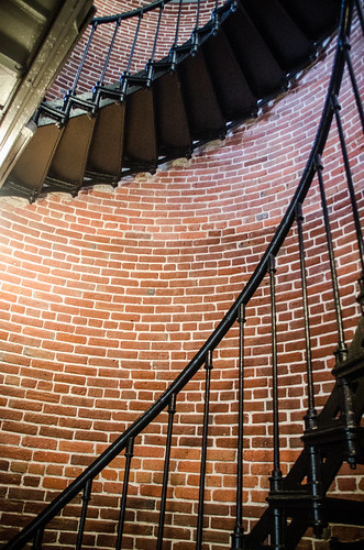
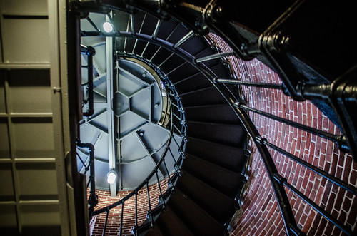
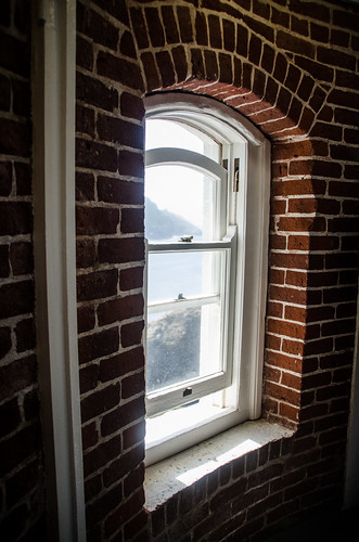
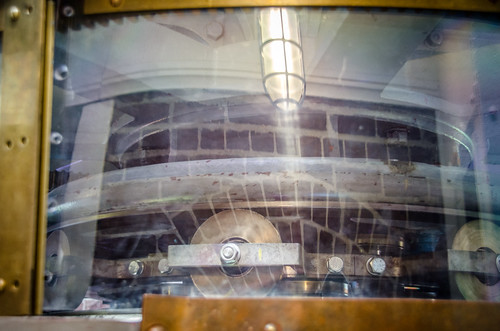
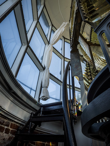
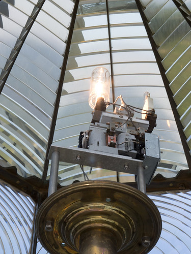
Admission was free, but we still had to get a ticket and wait for an available tour. Laura declined, and by the end of the tour, I was wishing I had, too. The tour was led by another volunteer, and this was only her second day on the job. She red from notecards, and the presentation was somewhat stilted. She didn’t have enough knowledge about the light to answer some of my questions. I know that she will improve, but the bad thing was that the spiel was almost word for word the same as the information at Umpqua. My photos from this visit look almost the same…
…almost.
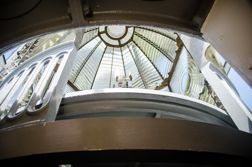
We were not granted access to the upper level. The light was set up a bit differently, and the first order Fresnel lens didn’t have the same red as Umpqua.
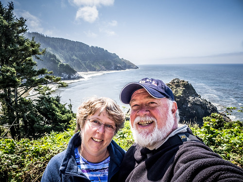
Since it was clear, the views were pretty spectacular.
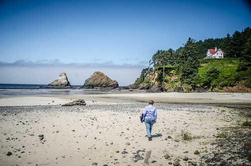
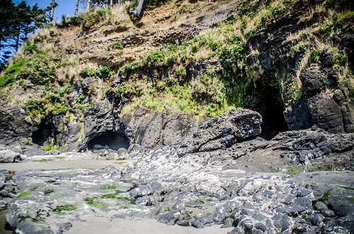
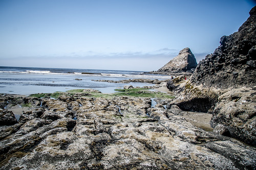
Laura had been enjoying the views from here vantage point. We walked back down the hill and decided to enjoy the beach for a bit. It looked like the tide was going out. Otherwise, I wouldn’t want to get trapped out on the rough rocks. There were some interesting shallow caves that just begged to be explored.
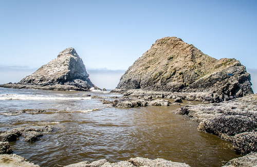
There were some interest tide pools here. As I discovered at our last tide pool exploration, you had to watch out for anemones that were out of the water. Here they were all over the rocks. Laura spotted some mossy looking things that turned out to be active organisms when submerged.
Here’s a short video of them:
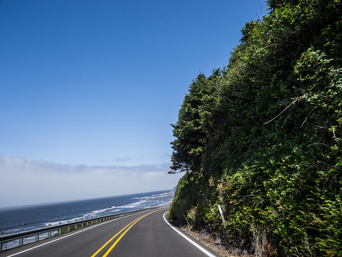
Once again, I found myself wishing for more time to just linger at the beach. However, we still had a long way to go. We continued up the coast, crossing more McCullough bridges at Ten Mile Creek, Alsea Bay and Cook’s Chasm.
Another bridge at the town of Yachats, and we were ready for lunch. We pulled into a local place called Leroy’s Blue Whale, which looked interesting. It was a disaster. While the food was OK, the service was horrible. The waitress dropped my fork, then never brought me another one. Fortunately I had ordered finger food. Drinks were never refilled, and she basically abandoned us. Oh well. We headed on our way.
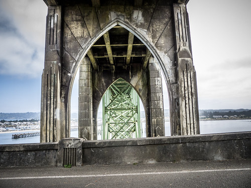
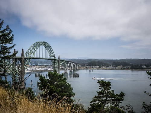
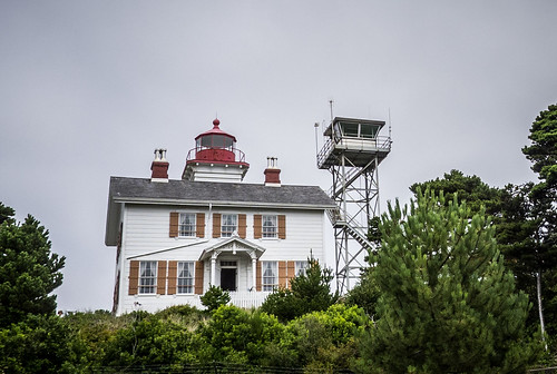
Newport was the largest town we had encountered in awhile. Originally we had thought about stopping here for the evening, but the day was still early. We crossed the Yaquina River and Bay on another spectacular McCullough bridge. On the other side were signs for Yaquina River Light House. We had to check it out. The access road exited to the right, then took us under the bridge. We got some spectacular views of the bridge understructure.
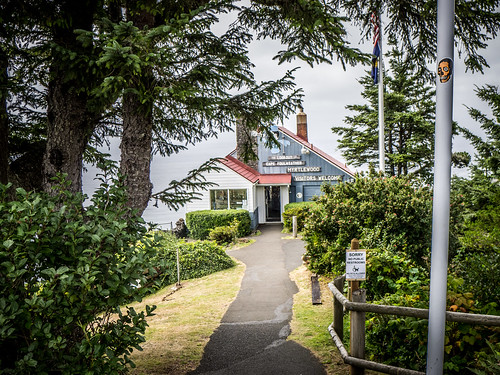
The lighthouse itself looked like it was incorporated into the keeper’s house. The place seemed to be crowded, and parking was a premium. We decided to take a couple of shots and keep going.
I had seen signs for Yaquina Head Lighthouse. We took a couple of wrong turns, but eventually found the correct road north of Newport. Again, it looked like there was going to be a charge just to park, then another charge for the tour. If it had been earlier in the day, we would have done it. As it was, we didn’t even get close enough to see the light.
We continued on up the coast. Eventually we reached Otter Crest State Park on Cape Foulweather. There was a small gift shop with an overlook that had good views to the south and of the cape to the north.
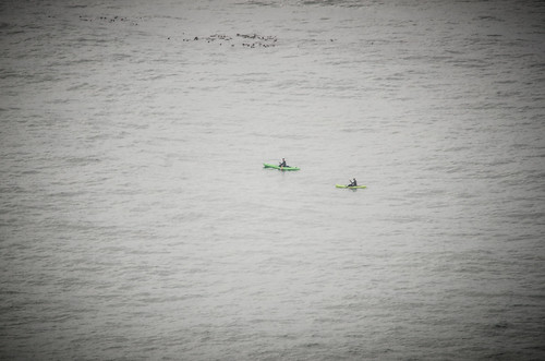
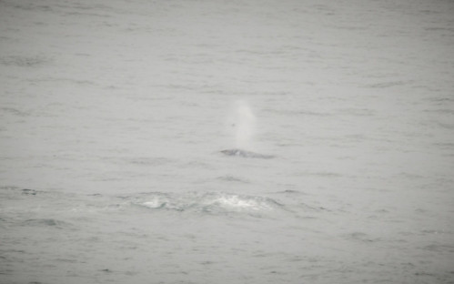
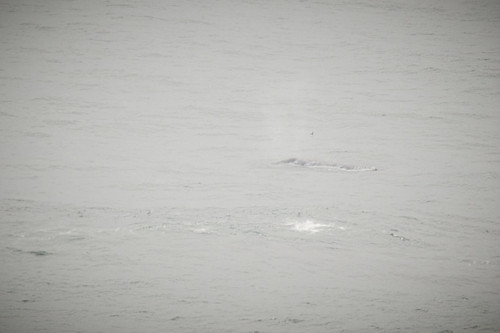
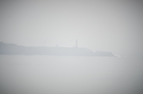
We spotted a couple of kayaks out in the surf. However, it was Laura who spotted the more interesting view first. A gray whale was surfacing near a series of rocks. She used some of the shop’s binoculars while I went to retrieve the long camera lens. I managed to get a few shots. I also managed to catch the Yaquina Head Light in the distance.
I decided that seeing the whale was a good omen, so I had to buy a hat from the gift shop.
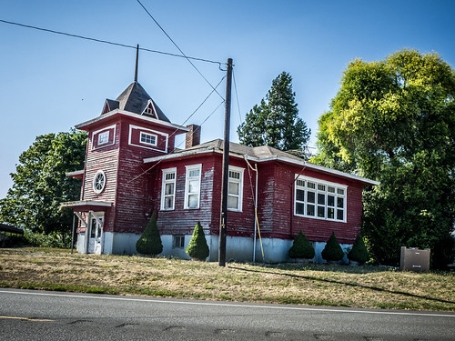
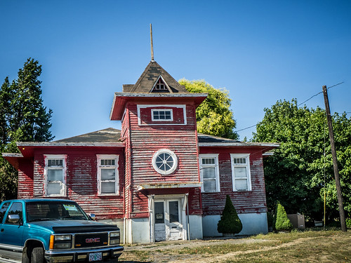
We were still not sure where we were going to end up for the evening. One of the things I’d wanted to do on this trip was photograph some of the waterfalls in the Columbia River Gorge. That meant heading inland. North of Lincoln City we took Highway 18 toward Portland. Once over the coastal range, our route took us through rural Oregon farmland. I spotted one red schoolhouse that had been converted into an antique shop, and had to stop.
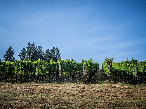
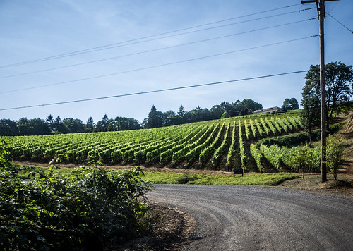
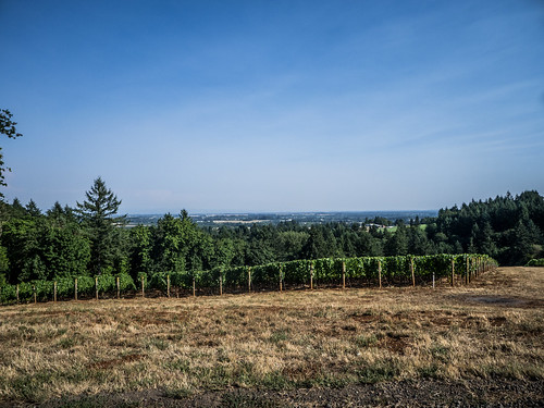
Eventually we started seeing lots of signs for wineries. We had entered Oregon Wine Country. We decided we would try to do one more tasting, so we turned at a sign for the Archery Summit Vineyards. The road was rough and twisting, almost more challenging than anything we’d yet encountered. Soon we reached the entrance to several vineyards. However, they all closed their tasting rooms at 4:00, and it was past that time.
The rest of the drive was a blur. We passed through several more rural towns on our way to Oregon. Since it was a Friday night and we hadn’t called ahead, we had trouble finding a place for the night – everything was full. Eventually we found a place down in Wilsonville. The motel was still under construction, but it would do. They gave us a great rate on a room that even had a hot tub in it.
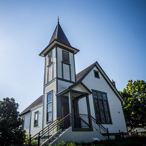
We were exhausted, but still wanted dinner. We found a place called McMennins in town. It was also known as the “Old Church.” Apparently McMennins is a local chain, much as Stax is around here. They had purchased an old Methodist Church and were using it as an event hall. A larger pub/restaurant adjoined the church. Unfortunately, a local high school was having a class reunion and using the church. I would have loved to have seen the interior. However, we did have a great meal at the pub before heading back to the motel to collapse.
