Sunday, August 3, 2014
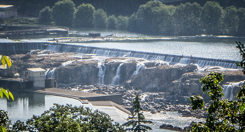
We wanted to get an early start. However, gas and more coffee were calling. We found a Starbucks in the little planned community of Wilsonville, then headed on our way. We circled past Portland on I-205 until we came to an overlook of the Willamette River. We had a good view of the Willamette River Locks.
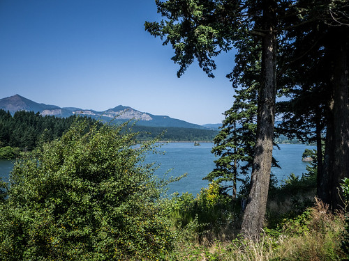
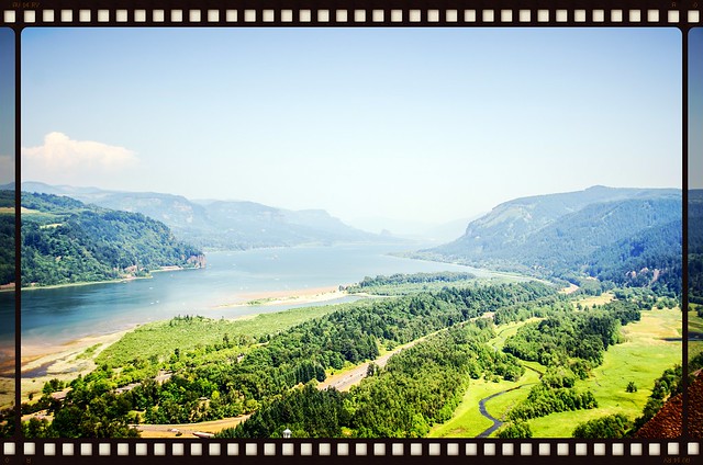
Soon we found ourselves headed east on I-205, and entering the Columbia River Gorge. The gorge was much wider than I had imagined. I don’t know what I was expecting – perhaps a narrow river gorge like the Green in North Carolina?
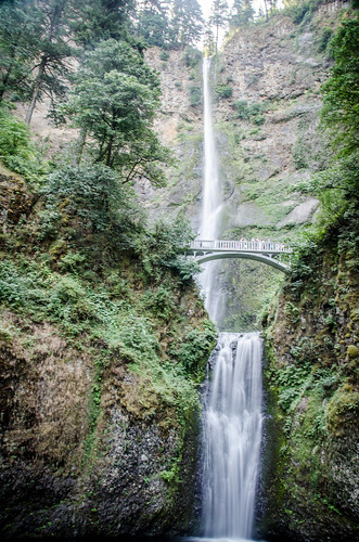
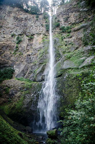
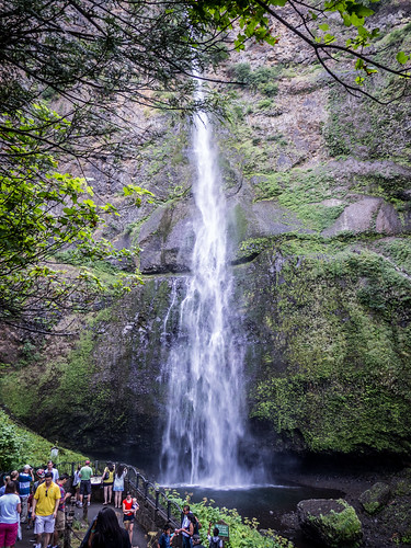
Our first goal was Multnomah Falls. I first became aware of the falls by view some photos from some of my Flickr contacts. I knew I wanted to visit. I was also warned that it was an absolute zoo with tourists. That was definitely the case.
From I-5 the parking area exits to the left, instead of the right. The parking lot is actually between the east and west bound lanes, with a tunnel connecting to the falls access. This arrangement creates a ton of problems, as we would discover later, because traffic begins to back up in the left lane of the interstate when things get really crowded.
We circled the lot and finally found a place to park. I was on the verge of giving up when a spot opened up. I grabbed my camera gear and we headed toward the falls.
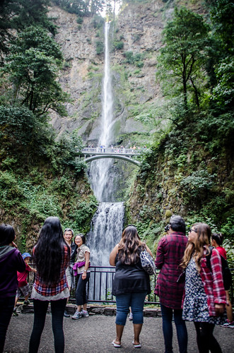
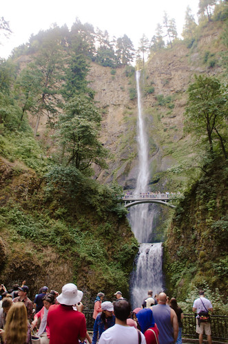
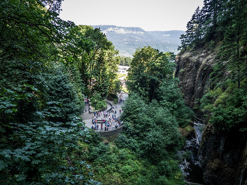
The patch crosses Highway 30 right at a restaurant/lodge at the base of the falls. There is a patio and viewing area where visitors can see both lower and upper falls. It was crowded as all get out. I was able to get some photos without people in the way, but it was almost as much fun taking pictures of the crowds.
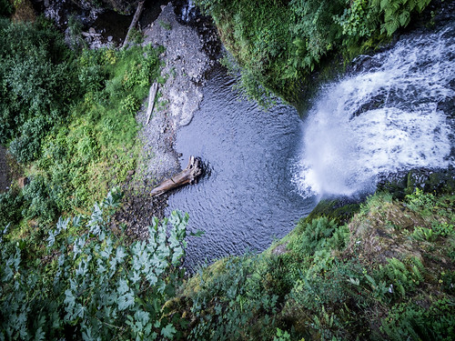
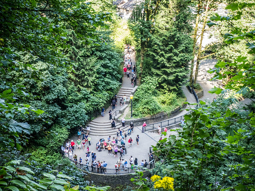
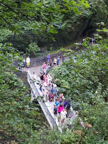
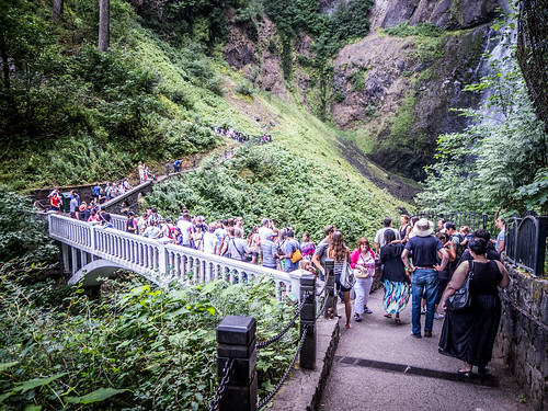
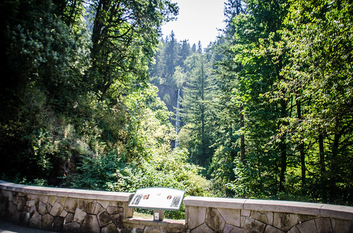
A trail leads to a bridge that crossed just at the top of the lower falls. Laura and I headed up that way, along with throngs of others. I got some shots of the falls, along with shots of the crowds below.
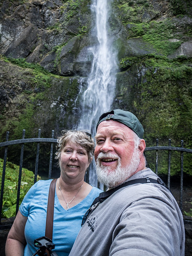
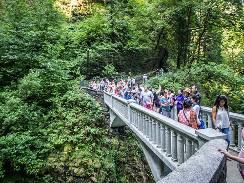
Actually, these shots don’t show how really crowded it was getting. We left the bridge and continued up the trail a bit. The trail eventually reaches the top of the falls, but we weren’t up for that much of a hike. It did give us some breathing room, though – room for more photos and for a selfie. I took photos of the crowds gathering on the bridge.
By this time it was getting ridiculous. We had to push our way through the throngs on the bridge. People wanted to be photographed with the falls in the background, and a crowded narrow bridge is just not the place for that.
As with any place that crowds gather, there were quite a few characters. I really wish I’d had my camera ready for one, in particular. A young girl, probably in her twenties, had surgically altered her ears so that they were pointy. It looked quite…weird.
Back at the lodge we contemplated lunch. It was still a bit early and they were doing a brunch, but I wasn’t sure we could get in. We decided to continue on eastward into the gorge, then come back by way of Highway 30.
The question was, how far up the Columbia Gorge? We didn’t know anything about the area. On the maps it looked like there was one bridge at Cascade Locks, and we weren’t sure where we might find lunch.
We passed exits for various parks and overlooks. I started drooling every time I saw a car with kayaks pass, or saw a sign for a boat ramp. Soon enough we reached the exit for Cascade Lakes and turned off the interstate.
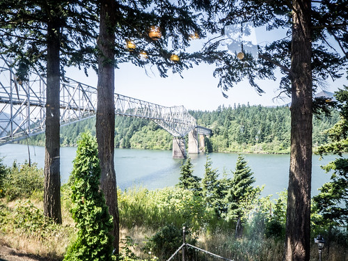
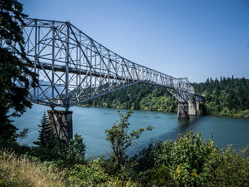
We found ourselves at the entrance to a spectacular steel bridge spanning the Columbia River. Signs pointed the way to the entrance to the “Bridge of the Gods.” We knew we would have to cross it, just for the heck of it, but food was the first order of business. The little town had several older motels and a campground, but not much else. We pulled into one place, and it was so creepy that we immediately backed out.
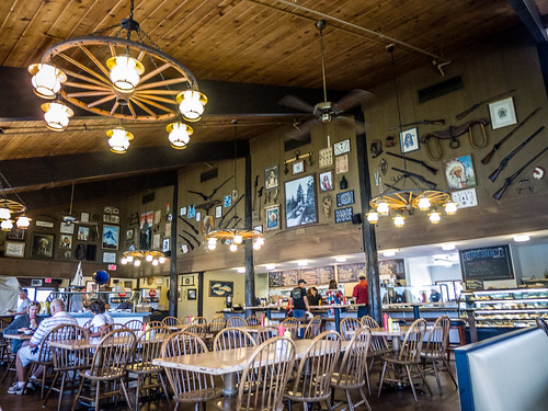
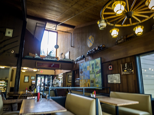
Back at the entrance to the town we found the Shar Burger. We had first bypassed the place, but now were back as the only acceptable option for lunch. We were now glad we came here. We got some excellent hamburgers with amazing views of both the bridge and the gorge.
After lunch and a much needed rest we stepped back out to the side parking lot. It looked like an impromptu farmers market/flea market was underway. We enjoyed the views from outside a bit more.
Planning our next steps, we spotted a toll booth on the Oregon side of the bridge. It seemed a bit silly to pay the toll, just to cross back, so we decided that we would just admire the bridge from our current vantage point. We got back in the Mustang and headed west this time, trying to find Highway 30.
The road we were on turned out NOT to be Highway 30, but dropped us back on the interstate headed west. We made it all the way back to Multnomah Falls, we were able to witness the problems with traffic backing up into the highway first hand. We bypassed it and kept going. We took one exit for a park that led down to a boat ramp (with more drooling from me), but didn’t connect to Highway 30. We headed back east, once again passing Multnomah. Finally on the other side we found and exit and headed back west along the gorge, with luck for the last time this trip.
Highway 30 is the historic two lane highway that used to be the only route through the gorge on the Oregon side. That is, before I-84 was constructed. In addition to Multnomah there were supposed to be some other falls and interesting spots that we wouldn’t be able to reach from the interstate.
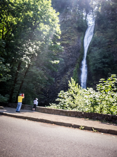
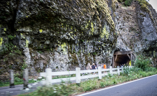
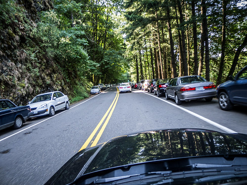
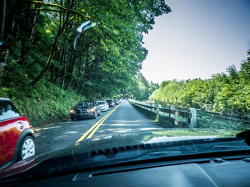
Apparently we were still too close to the Multnomah crowds. We passed Horsetail Falls, and there was nary a parking spot to be seen. Some folks were parking at Multnomah Lodge and walking to Horsetail along a path that led through a tunnel. We had to be satisfied with a quick shot from the car.
The traffic around the lodge was horrible. I was glad I wasn’t coming the other way, from Portland, as cars were backed up for miles leading to Multnomah. I was also happy we had visited the falls earlier in the day.
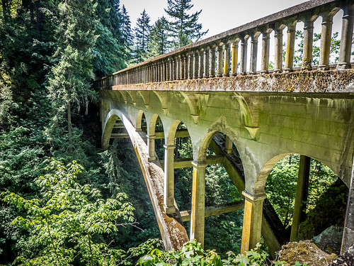
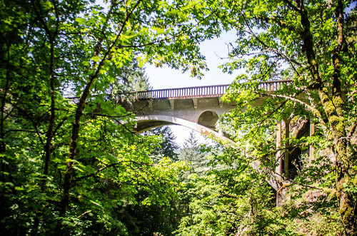
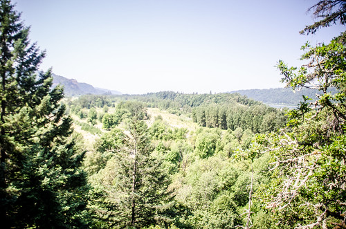
We missed a couple more waterfall/trail opportunities because of the crowds in proximity to Multnomah. Eventually we reached a parking area for Shepherd’s Dell Falls. A trail led down to the small falls. You could walk out onto the bridge and get nice views of the gorge below.
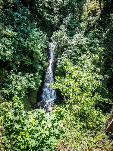
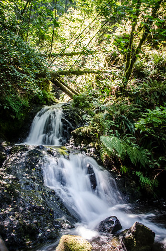
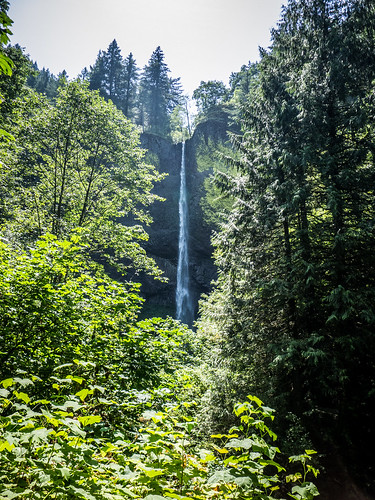
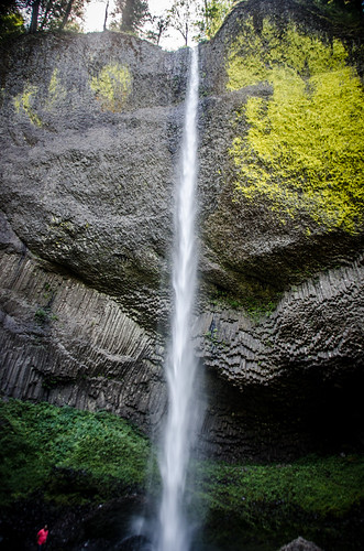
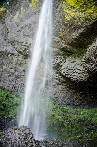
Not too far beyond this we found Laura’s favorite falls of the day. Loutrelle Falls is a tall single cascade that drops into a bowl-shaped depression. There was a short trail down to the base of the falls. While there were plenty of people here, there were nowhere near the crowds of Multnomah.
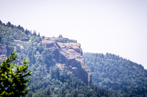
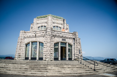
Highway 30 began a series of switchbacks, ascending to the top of the ridge. Soon we found ourselves at Vista House. We had seen this off in the distance, and wondered how we might get to it.
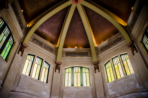
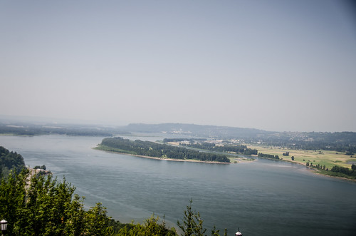
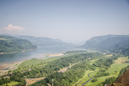
Vista House was built in 1913, when a trip to the top of Crown Point was arduous. The views east and west were amazing. I was expecting more crowds, but it wasn’t too bad. There was an upper balcony that went the whole way around the octagonal-shaped building. Even better views were to be had from up there.
From Vista House the road stay on the southern ridge, and flattened out a bit. We drove through several rural communities, then descended to the Sandy River. Here paddling envy struck again. There were multiple pull-outs for river access, and groups were using inner tubes, kayaks, and just about any floating device on the gentle river. Parties were forming up all up and down the banks. I so desperately wanted to join them, to at least put my feet in the water, but we kept on driving.
The falls were gorgeous, to to be honest, I was getting extremely tire of driving, and not stopping to actually DO something. At least we had seen a few waterfalls, but that was only a brief stop in between more long bouts of driving. There were many more miles ahead of us, though.
One final note: Today would have been Dad’s 90th birthday. With Mom’s recent passing, the significance of the day weighed heavily on my mind. That could have played into my overall general funk.
