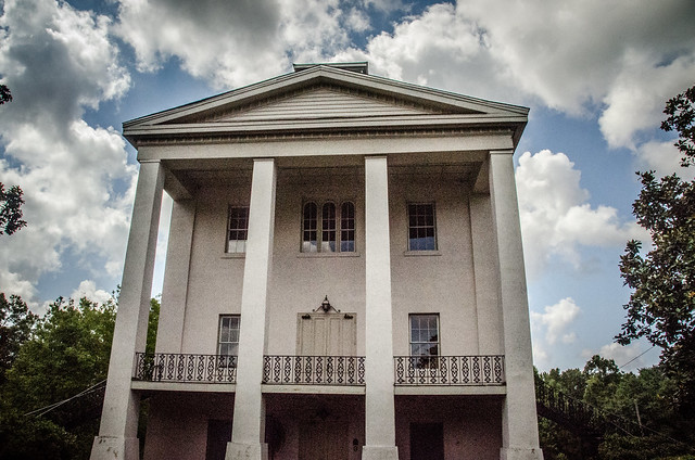
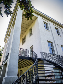
It finally happened. As many times as I’ve been here and photographed the exterior, I was finally able to get inside the old main building at the old Cokesbury College. This weekend is Greenwood’s Festival of Flowers, and as part of the event they were holding an open house at the historic location. While in Greenwood I hit a couple of other locations I had been wanting to photograph. I was joined by fellow explorers Mark Elbrecht, who alerted me to this year’s tour dates, and Alan Russell.
I had tried to do this last year. Mark was able to go down on a Saturday, but I had to delay until Sunday due to a paddling trip. Even though their website said the event would be Saturday and Sunday, when we got there Sunday morning everything was closed up tight. We never got into the building.
This year it would be different. The Chamber of Commerce had even used one of my photos of the old building on their promotional website. I was going to make sure that we were there on the correct day. So, Mark, Alan, and I headed down and arrived at the site at about 10:30 am.
Cokesbury College
The village of Cokesbury was laid out in 1824 and is one of South Carolina’s earliest planned communities. It was originally called Mount Ariel, but in 1834 the name was changed to Cokesbury to honor the first Methodist bishops in the US, Thomas Coke and Francis Asbury.
In the mid-1800s, Cokesbury was the home of The Masonic Female College of South Carolina, which was for its time a very progressive experiment in higher education for women.
In 1876, the school was taken over by the Methodist Conference and accepted only male students until 1882 when it became co-educational. The school transferred ownership again in 1918 and operated as part of the public school system until 1954 when the property reverted to the Methodist Conference. In the 1970s the property underwent extensive renovation, and has since been used for special events.
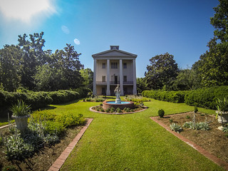
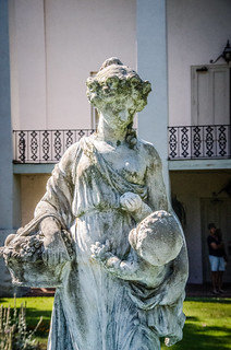
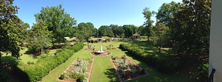
We wandered onto the manicured lawn and immediately started taking photos of the landscaping and main building. It was the first time we had an opportunity to get close and look and different angles.
There were several people that appeared to be part of a tour group. It was obvious that we were going to take far too much time for a tour, so we hung back and kept shooting.
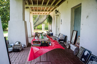
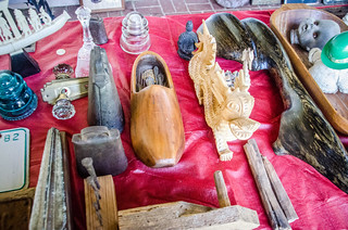
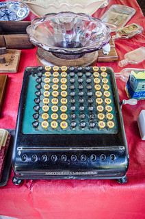
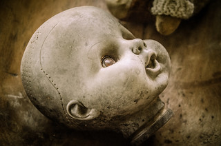
On the ground level under the portico outside the building the historical society had set up a table of antiques. At first glance it looked like a complete mishmash of items with no rhyme or reason. We were told that these were items that had been found nearby and were put on display.
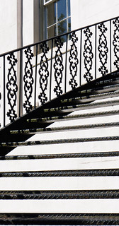
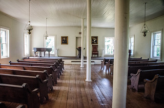
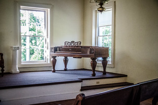
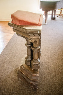
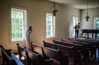
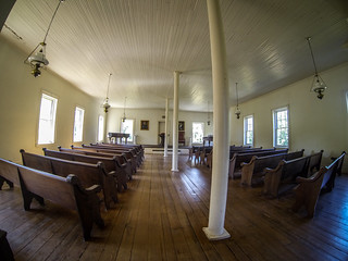
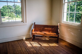
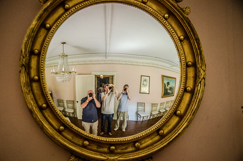
We climbed the steps up to the second level and entered. This level of the building was the main assembly room, and is set up almost as a church with pews and a raised speakers’ platform. A podium and two pianos dominated the platform. The furnishings are not original to the building, but were provided by a local congregation. This was the case with most of the furniture in the building.
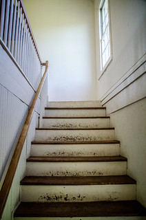
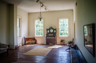
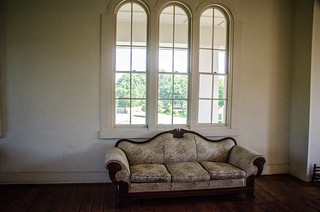
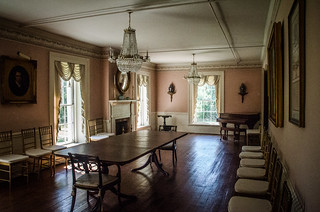
A set of stars led up to the third floor. The front part of this floor was set up as a parlor, with several pieces of furniture and an old pump organ. Large windows provided a view out over the gardens.
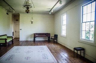
The rest of the floor was divided into two other large rooms. On the right side there was one more parlor-like room with yet another square piano.
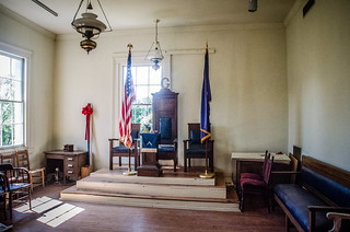
On the left was a room set up for Masonic meetings. This room had all sorts of Masonic memorabilia, including a donate Bible send several paintings that had not been hung.
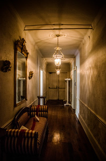
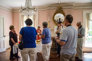
We went back downstairs to the first floor. This had a long hall running down the middle with rooms the the left and right. The left room was the “Recitation Room” and had been set up with refreshments for visitors. We listened to Tommy O’Dell describe the history of the Cokesbury area as we enjoyed lemonade and brownies.
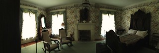
The other side of the hall had two rooms. One was set up as a bedroom with antique furniture, and the other was set up as another small parlor.
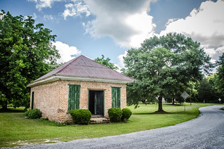
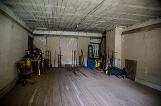
We wandered across the street to the old Cokesbury Store, which was open. The space is now used more as a storage shed than anything else. The old wooden floor boards were quite springy, and we questioned their ability to support us.
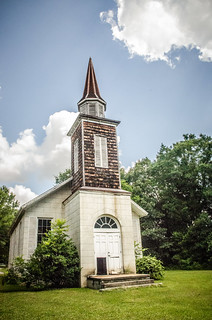
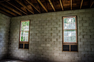
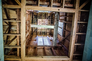
Next door to the store is the old Mount Ariel Church. According to Mr. O’Dell, the small chapel was never completed. That would explain the exposed beams, concrete block walls on the interior, and the plumbing stubs coming from the concrete floor. Much of the construction looks fairly modern, including the metal bracing on the roof cross-beams. It was unclear when this was actually built, or if it had undergone some reconstruction, possible during the renovations in the 1970s.
By this time the day was warming up, and it was time for us to move on to our next target.
After leaving Cokesbury we turned down Allen University Road in the direction of some ruins that Mark had spotted in on the Greenwood County GIS map. The ruins were purportedly of an old segregated school, but we weren’t sure which one.
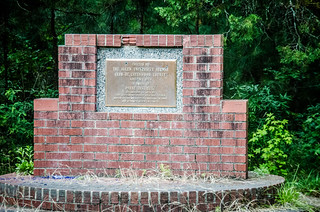
About a quarter of a mile down the road there is a monument to the Payne Institute, which was set up as a precursor to Allen University before it moved to Atlanta.
Beyond the monument the road became rutted and overgrown. We decided not to pursue the school ruins at this time. It was hot and the site would most likely be overgrown with vegetation. We decided that a winter trip might be better.
Tabernacle Cemetery
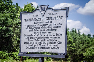
A couple of miles from Cokesbury, near the Park Seed Company, is a historic marker for the old Tabernacle Cemetery. The Tabernacle Community predates Cokesbury by about twenty years. At one time there was a community with stores and an academy, but now all that remains is the cemetery.
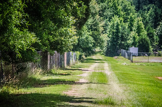
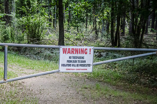
We first missed the sign and had to turn back. At the historical marker was a dirt road that led back into the woods we followed it to a gate and sign which we first read as “No Trespassing”, not catching the “after dark” part. We would be OK to visit.
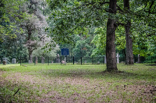
The path led back to the cemetery. Most of it was fenced, and another historical marker looked like it had taken a few hits.
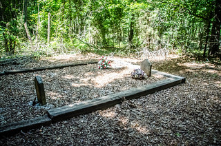
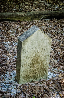
Outside of the fencing and main cemetery were a couple of headstones off to themselves. These were crude, hand-etched stones. Since our visit I’ve read somewhere that these were slave graves. One of the dates of death was 1935, so that information is somewhat suspect, but it was odd that they were off to the side.
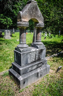
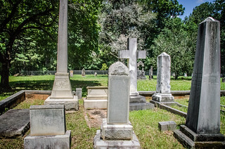
The stones within the fencing were much more elaborate. There were both Revolutionary War and Civil War veterans buried there. Some of the stones had fallen over, and were almost taken over by grass. Some were difficult to read. We were able to find one signature stone – W. T. White, of course – on an obelisk.
As we were leaving another vehicle pulled up. We recognized the occupant as another visitor to Cokesbury when we were there. We pointed him in the right direction and he thanked us.
We grabbed a quick lunch in Greenwood, then headed on to our next destination, Ninety-Six.
Ninety-Six
The town of Ninety-Six has a long history with my family. It was where my mother grew up, and I remember visiting my grandmother’s old farm house near the town. On this particular visit I was interested the lost town of Cambridge.
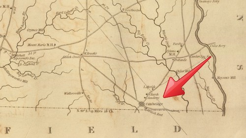
I first came across the name Cambridge on Robert Mill’s map of Abbeville County. Even the city of Greenwood did not exist at that time.
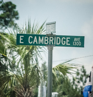
However, I should have been paying closer attention. The name “Cambridge” can be found all over Greenwood. There are several streets with the name, and in town there is the Cambridge Academy.
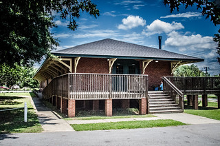
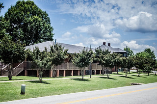
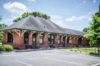
We first stopped in the town of Ninety-Six. Mark is a railroad fan, and wanted some photos of the old depot. The depot now houses a cafe and senior action center.
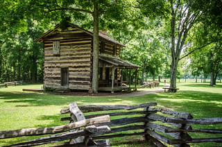
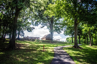
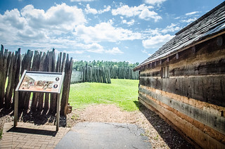
About two miles south of town is the Ninety-Six National Historic Site. The village of Ninety-Six was an important trading center. A stockade fort, known as Fort Williams, was built to protect settlers from the Indians of the area. That fort soon became a crucial point in the Revolutionary War, and was the site of the first action in the southern colonies in 1775. British Loyalists staged an unsuccessful attack against the Patriots who held the fort at that time. The British were able to take control of the area in 1780, and built the Star Fort nearby. In 1781 the longest siege of the war took place as Patriots attacked the fort. The Patriot siege failed, but the British were ordered to abandon the location. As they left, they set fire to the fort and the village, leaving nothing behind.
After the war the village of Ninety-Six was rebuilt. A charter was granted for college for the town, and the town was renamed Cambridge after the planned school.
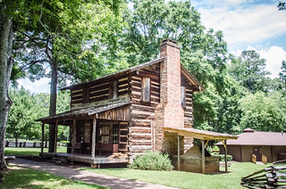
It was already getting late when we arrived. We first stopped to photograph the Logan House, prominently displayed at the front of the park.
In the visitor’s center I inquired about Cambridge, and was pointed to a couple of books that turned out to be less than helpful, as was the curator on duty. He did convince us to watch a 20 minute film that did an excellent job of describing the events of the War.
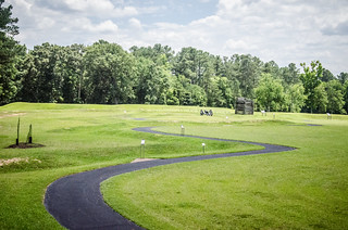
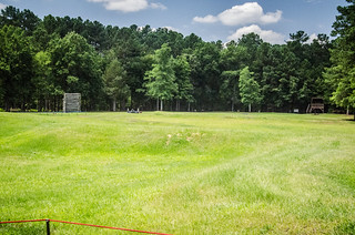
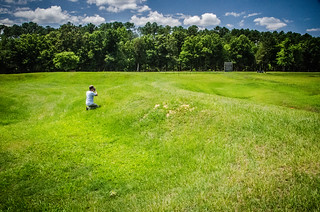
After the film Alan and Mark and I wandered out onto the battlefield. I had been here a couple of times before. Even so, it always astounds me how close everything is. The Patriot attack was only a few yards from the walls of the fort. It’s hard to imagine what that must have been like.
As we were out on the battlefield we heard a very loud airplane circling overhead. As it turned out, it was several planes flying in close formation. I don’t know if they were vintage planes, or if they were part of some flight show somewhere.
We continued our walk the star fort proper. Once again, the short distances were amazing. Alan was intrigued by the construction of the fort itself.
We walked past the boundaries of the little village nearby, then also stopped at the location of the old jail.
The jail was of special interest to me. In 1779 my great-great-great-great-great grandfather Samuel Campbell Clegg was one of five Loyalists hanged for treason at Ninety-Six. Clegg was one of about 150 Loyalists who were captured at the Battle of Kettle Creek in Georgia. This was prior to the British taking control of the fort in 1780 and the subsequent siege.
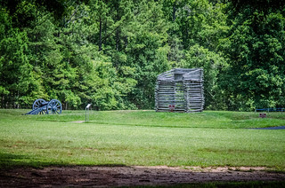
From the jail we walked up the hill to a recreation of Fort Williams.
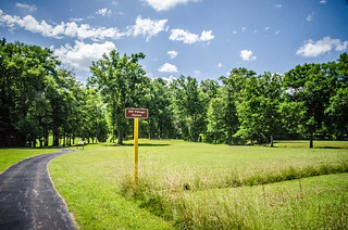
As we completed the loop one of the interpretive signs referenced the town of Cambridge. It also included some other surprising information about the town that relates to my family. In 1800 the old Ninety-Six District was split into several counties. Many of the administrative functions of the town were moved to Abbeville, then eventually to Greenwood. When the railroad came through it was located to the north, in present-day Ninety-Six. The town began to decline not too long after it was created, and in 1860 its post office was finally closed.
The surprising bit of information was that the only surviving building from that era was the old Siloam Baptist Church. The building was moved from the Cambridge location to a new location near Wilson Creek. In Robert Mills map it is indicated as “Sylome” meeting house. It’s unclear as to whether that meeting house was this building, or if the was prior to moving the church building.
Regardless, the church was moved to a plot right behind my grandparents’ farm. I remember seeing the old church building. It was eventually torn down and a new brick structure built. My grandparents are buried in the church’s cemetery.
It was an interesting day out and about in Greenwood County. Here’s a map of the locations we visited:
View Cokesbury and Ninety-Six Ramble 06-2013 in a larger map
Here are all of my photos from the trip…
[fsg_gallery id=”2″]
…and Mark’s photos are at this link.







Thank you for this very nice write up on Cokesbury. As Chairman I would like to invite you and your friends back sometime to see all of the renovations that have taken place over the last three years. We will be open that Sunday of the festival of flowers June 3rd from 2-5 PM. We are also open every Sunday afternoon from 2-5 PM April – November weather permitting.