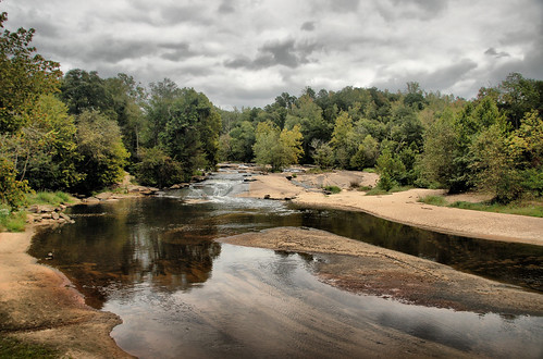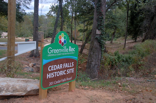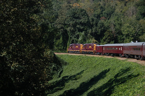
It had all the promise of a beautiful, cool fall weekend, and Laura and I decided to take advantage of it. Saturday afternoon we drove up to Cullowhee, North Carolina to savor a delicious victory as Furman beat Western North Carolina 47-21 in football. We stayed overnight in Bryson City, and that Sunday we were able to do something both of us had wanted to try for quite awhile – take a ride on the Great Smoky Mountains Railroad.
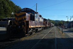
I had booked our tickets as soon as we decided on a plan of action for the weekend. It was a good thing I did, too, as CNN featured the railroad as its #2 leaf-viewing attraction on its website. We were also just beating the peak fall foliage crowds, so there were tickets to be had. There are several travel options, ranging from first class down to mere mortal. Even though it was supposed to be chilly, we decided on the open-air car, which was described as follows on their website:
The Open Air Gondola is perfect for those photographers craving that perfect scenic shot! Plenty of space to see the great outdoors! Created from retired baggage and flatbed cars, these open cars feature long padded outward-facing seats, perfect for the panoramic views. A great car for capturing the scents and sounds of nature!
More on that choice in a bit…