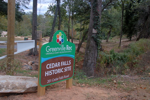
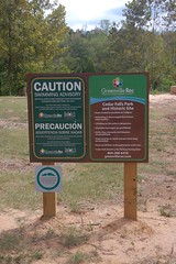
Sunday’s Greenville News had an article about a new park in southern Greenville County. Cedar Falls Park opened to the public recently, and I decided I needed to check it out.
First, a bit of background…
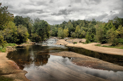
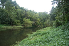
I’d stopped by this location on the Reedy River several times looking longingly at the shoals and the pool below. I also looked askance at the “Keep Out” signs everywhere, and only took photos from the roadside.
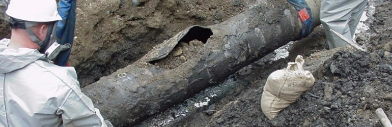
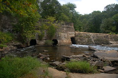
In 1993 Colonial Pipeline had a major oil spill on the Reedy. In 1999 they plead guilty to violations of the Clean Water Act, and agreed to a huge fine. Money from the fine, along with grants, paid for creation of the park. And finally, twelve years later, the park is a reality, and the “Keep Out” signs meaningless. (Although, if you look closely in the photo below, you’ll see one lingering Keep Out sign nailed to the tree.)
A bit more background and history…
As with many river shoals in the upstate, a quick drop in river level was the perfect place to take advantage of the power of gravity. Thus, many mills were constructed on these shoals. Cedar Falls was no different.
Robert Mills’ 1825 Atlas labels this area as “Berry’s Mill”.

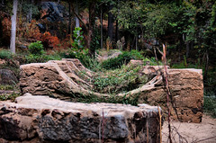
According to the Greenville Recreation website, the site was used as a woolen mill and a saw mill. A small diversion dam next to the main shoals provided power for the mills.
In the 1920s another dam was build upstream at the top of the falls to provide water for an electrical generating plant. Both of these dams are still in place on the river.
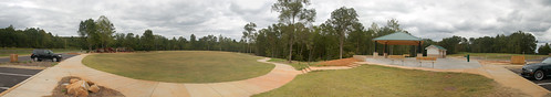
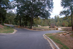
When I arrived I wasn’t sure if I was in the right place. There was a very nice playground, open field with walking trail, picnic shelter, and restrooms. However, no river was in sight. I was afraid they had used the money to build a playground, but nothing else.
I drove through, trying not to disturb a family reunion underway at the shelter. Back on Cedar Falls Road, I continued to where I knew the falls to be. There I found another parking area, and breathed a sigh of relief.
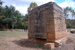
Close by are the remains of one of the mills and pylons that supported some sort of pipeline. At the bottom of the falls was a spectacular pool. Unfortunately, there were signs warning against swimming – a lingering legacy from the oil spill and decades of other industrial contaminants.
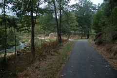
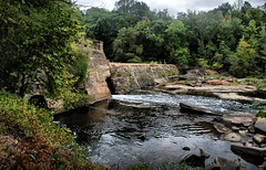
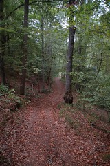
A paved trail continued upstream past the lower dam. I stepped off the trail to get a few shots of the river.
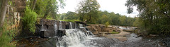
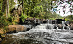
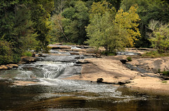
Just upstream from this was the larger main dam. During times other than drought water flows over the top of the dam. Today the flow was only coming through three sluice gates in the dam.
At the top of the dam the water was, of course, very still. There was also ample evidence as to why swimming wasn’t such a good idea.
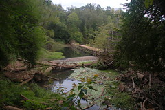
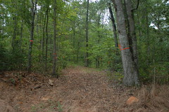
The trail continued around the river. Eventually the pavement gave out, but it was obvious that the county has more plans for the site. New trails were marked out, and an unpaved trail continued on upstream.
There were lots of people out enjoying the park, a few that even decided to brave the toxic waters. It seems many had read the news article. It’s a great place for photography, and I’ll be interested to see how they develop this as a paddling venture.
Here are the rest of the photos from that trip…
…and here is a map.