It started with a cryptic e-mail which began as follows:
Hello Tom,
I don’t know you and you don’t know me, but I do know about your fascination with ghost towns.
Mark Elbrecht had contacted me through this website, and he had a proposal. Mark is a fellow Flickr photographer, and it seems that he and I have similar interests as far as subject matter is concerned. He had arranged to meet with a representative of the Union Historical Society and get access to the Pinckneyville site, a ghost town I’ve been wanting to visit for quite some time, and he invited me to come along. There was absolutely no way I was going to pass up this opportunity.
Union
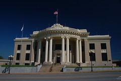
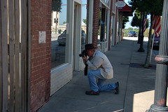
My brother Houston joined me, and this past Saturday we made the trek from Greenville to Union to join up with the group. We arrived a bit early, so we wandered the main street of Union and took a few photos of the architecture, including the spectacular court house…
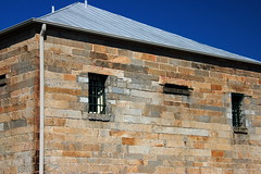
…the old jail designed by architect Robert Mills…
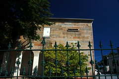
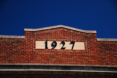
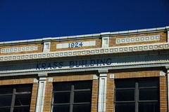
…and several of the buildings downtown.
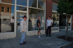
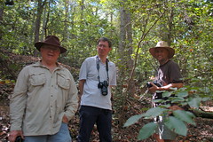
Soon Mark arrived with his friend, Eric Cunningham. Eric is another photographer, and is active with the Travelers Rest Historical Society.
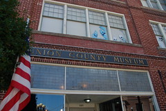
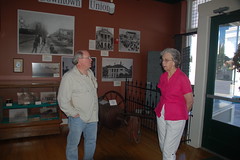
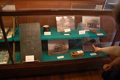
We met with Ola Jean Kelley, director of the Union County Museum. The museum didn’t open until later that afternoon, but she let us take a look around, especially at some of the material relating to Pinckneyville. The museum looked like it had some great displays, and we really wanted to come back for a visit, if we could.
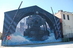
With the key in hand, we took a quick detour to a side street to photograph Union’s fantastic train mural.
According to Mrs. Kelly, the train’s headlamp and crossbars light up at night, and it can be disconcerting for those not familiar with the mural. I especially like the Do Not Enter sign next to the mural.
Pinckneyville
Pinckneyville is about thirteen miles northeast of Union as the crow flies, and sits near the confluence of the Pacolet and Broad rivers. It was settled in 1791, Although never a county seat, it one time did have legal jurisdiction over the area, and had a court house in the village. That jurisdiction only lasted a very short time, until 1800 when Union became the county seat. After about 1870 the town lost prominence as a center of commerce, but there were still some residents as late as the 1940s.
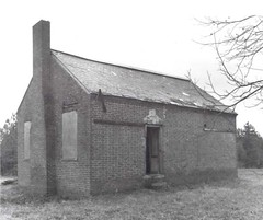
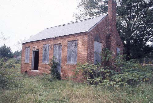
According to my readings, and to some old photos I had seen, it looked like there was one structure and once remaining wall on the site. Mrs. Kelly had not given us much hope, stating that “devil-worshippers” had long ago destroyed any remnant of the town. Still, I held out hope that there would be something left to photograph. This photo from the 1972 National Register archeology survey, and the color one from the National Register website shows an intact store house. We were hoping to find at least a bit of it left.
When we got to the gate barring entrance to the site, we found it unlocked, so we continued on in.
It’s about a mile and a half from the gate to the actual site, and private property lines single-lane paved road. At one point we watched a wild turkey run across the road in front of us, and down another dirt road we spotted a pickup truck and folks nearby. They gave us a questioning glance, but didn’t come to check us out.
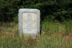
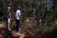
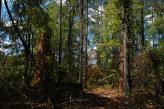
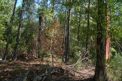
Eventually we reached a loop, and off to the north a historical marker for the site. As far as we could see, there were no intact structures.
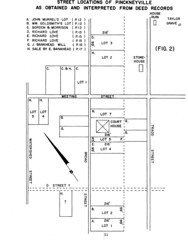
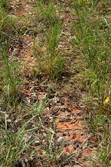
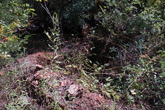
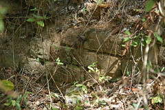
We did find several brick foundations. According to the plat below from the 1972 study, it looks like a set of bricks just to the left of the marker is all that remains of the store house.
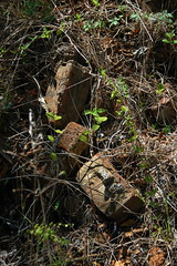
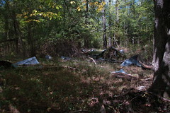
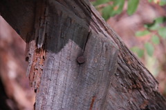
There were several other ruins and brick foundations scattered around the site. However, we weren’t too sure about these. Some had tin roofs, and it looked like the nails and brickwork were a bit too modern.
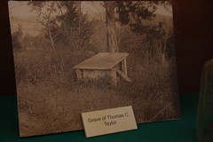
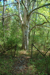
We speculated that these were probably later farm buildings. We didn’t find the cemetery that appears on topo maps, but we did find the location of the grave of Thomas C. Taylor, which was surrounded by a rusty fence and had an old tree in the center.
Near this appeared to be the ruins of the house that was indicated on the plat. Tradition says that the ruins were the old jail (which the survey proves it is not), and that the tree was the “hanging tree.” According to what I’ve read these are just tall tales. Another apparent tall tale was that there is Confederate gold buried somewhere on the property.
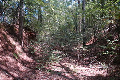
Houston found what appeared to be an old road bed. We followed it as far as we could, hoping to reach the Broad River and the old Pinckneyville Ferry. The road gave out in a very steep ravine, so we turned back.
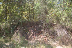
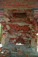
We explored a bit more, then loaded back up for the trip out. On our way we spotted one more ruin off to the north. This was more complete than any others we had seen, consisting of two chimneys and a foundation – a bit more than just a pile a bricks, but not by much.
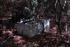
The bricks looked a bit too modern, and we had our doubts that this was part of the original Pinckneyville. The dead giveaway was the abandoned refrigerator.
Topo maps of the area indicate one remaining structure on the property. When I did an overlay of the topographic map with our GPS track, it showed that this house was, in fact, the structure from the topographic map.
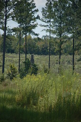
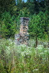
There was one final structure north of the road and about a quarter mile from the marker. It was a lone chimney out in a field. The bricks looked a bit more consistent with the 1800s, so it’s possible that this was an original structure.
We made our way on back. When we got to the gate, someone had locked it back. I’m guessing it was the guys in the truck, who probably thought they were playing a trick on some unsuspecting trespassers. Fortunately, we had the museum key and were able to escape.
At this point we said our goodbyes to Mark and Eric. They turned out to be a couple of great guys to have along on a photo trek, and I’m so glad Mark sent the e-mail and made the arrangements. You can view his photos from the visit here.
I’ll be writing more about Pinckeyville when I put it into its “ghost town” format.
Lockhart
I am currently reading Historic Canals & Waterways of South Carolina by Robert J. Kapsch. I had just finished the section about the construction of the Lockhart Canal, from 1819 to 1823. Since we were only a few miles away, I talked Houston into a visit.
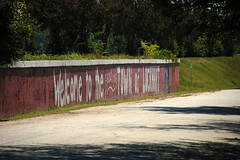
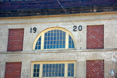
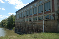
The town of Lockhart is a traditional Southern textile mill village. The houses are rubber-stamp identical, and are perched on the Piedmont hills ringing the mill down by the river. Unfortunately, like most mill towns, the mill is now long closed, and has been torn down. The houses and community remain, though. A painted wall greets visitors with “Welcome to the beautiful town of Lockhart.
Houston and I first crossed the canal then the Broad River to get our bearings. We then crossed back and headed into the community.
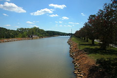
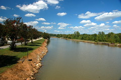
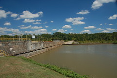
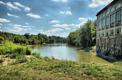
The canal runs alongside the main part of the town. Just beyond is a significant drop down to the level of the river.
The mill was located on the other side of the canal on the lower level. Access to the mill from the town seemed to be through a single foot bridge across the canal.
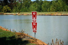
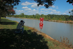
There was a turnstile similar to the ones we found at Cateechee. Unfortunately, the turnstile was welded shut, and there was no way to cross the canal on the bridge. That’s a shame. There were also stern warnings not to swim or boat in the canal. Houston was amused at the “drowning man” motif of the signs.
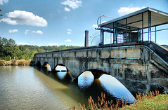
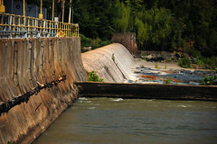
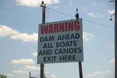
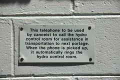
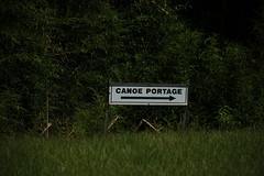
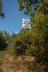
Upstream of the canal we found the Lockhart dam. This channeled water into the canal, and was located above the shoals on the river. There was also a courtesy phone for paddlers to call for a portage around the dam and canal.
We decided to check out the south end of the canal. This meant crossing over on Highway 49 and taking a tiny road to the north that led down to the river. There were a few more mill houses here, but the road eventually led to the Lockhart Power Company and the end of the portage.
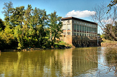
The water from the canal drops through the turbines into a tailrace canal at the same level as the river. No remnants of the transportation canal and intricate lock system seem to remain.
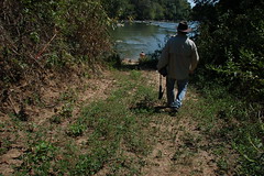
We hiked along the narrow spit of land between the tailrace and the river, hoping to find where the portage ends.
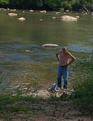
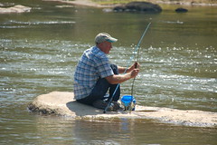
Eventually we reached the end of the point, where a shirtless fisherman greeted us. He was quite friendly, and full of tales of the area. His partner out on a rock was catching fish while he was conversing with us.
By this time we were far past lunch, and it didn’t look like we were going to make it back to the museum. We headed on back through Jonesville and grabbed lunch at a spot that the fisherman recommended. We also took a quick turn through Pacolet, with just enough of a view to whet our appetites for more photo adventure, then it was back home in Greenville. It was a great day exploring Union, and I think we will be back for more.


I had a great time! Thank you and your brother for coming along. I know I’m game for one more visit after the weather gets colder and some of that greenery dies off till spring. And I still want to verify the truth of that internet posting I showed you guys.
I will admit I like to play with words at times so I’ll decrypt that part of the email you quoted: “We don’t know each other except through the internet, but you seem like a good guy, and I know we have at least one common interest so here’s an offer you can’t refuse!”
If those guys were playing a trick on us, I can just imagine their “disappointment” when we weren’t there when they came back!
…oh and the BBQ at the festival was great!
Mark
I know exactly what getting locked in Pinckneyville feels like, lol, most likely it was the people that have a summer home just off the dirt road, they happened to be there when a friend and I went a couple of years ago, it was an experience…they were very nice people though and we all had a good laugh later 🙂
Just wanted to let you know that my husband (who is from Lockhart) recently took me on a hike and showed me the old ferry crossing and shoots. Although someone has gone in and clear cut a lot and dumped most of the brush in the canal, it can still be seen and is fascinating. Its a shame though that brush was dumped in. It would be a GREAT historic site.