Second Saturday had finally arrived. I’d spent Friday exploring Berkeley County, specifically the Old Santee Canal Park. Now I’d be joined by my fellow kayakers from Lowcountry Unfiltered to explore the upper end of the old canal from where it enters Lake Moultrie. It was time to get on the water.
To be honest, I’d never really thought much about Lake Moultrie as a paddling destination. I have paddled a part of it before, but it just struck me as big, wide, and somewhat industrial. Its neighbor to the north, Lake Marion, has many more interesting wildlife sections and large cypress trees.
…or so I thought.
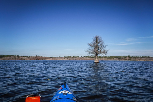
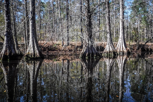
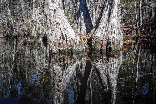
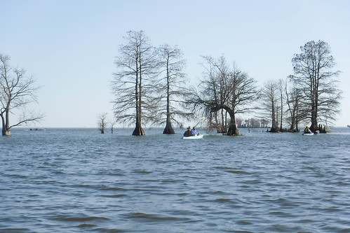
As it turns out there are several interesting places to explore around Lake Moultrie. There are pockets of cypress trees and wildlife areas. The Berkeley County Blueways website has a great listing of these. This is how we found the paddling route that led us to this bit of the old Santee Canal.
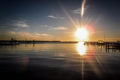
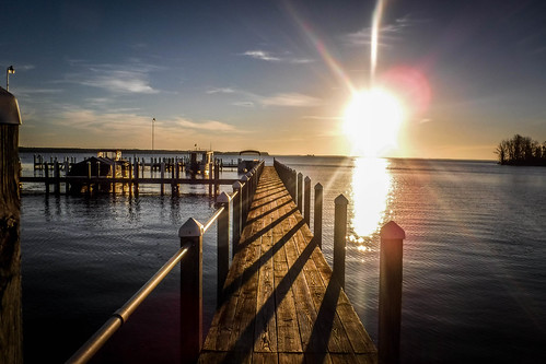
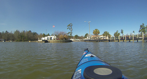
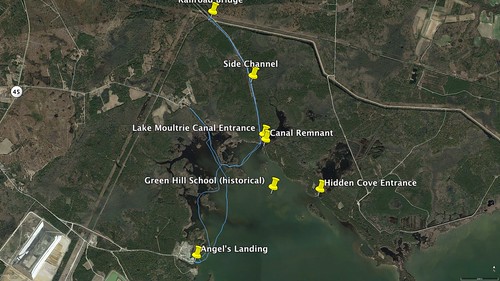
I got up early and made the trek from Santee to Angel’s Landing. From Highway 45 you turn onto Viper Lane, a road that leads past the power generating station at the upper end of Moultrie. Once past the large trucks and railroad overpasses the road dives into a typical lakeside community, with small houses, mobile homes, eventually giving over to RVs.
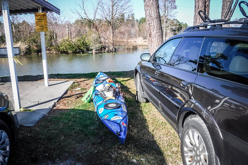
Even this early Angel’s Landing was a hopping place. Lots of boats were launching from the single boat ramp.
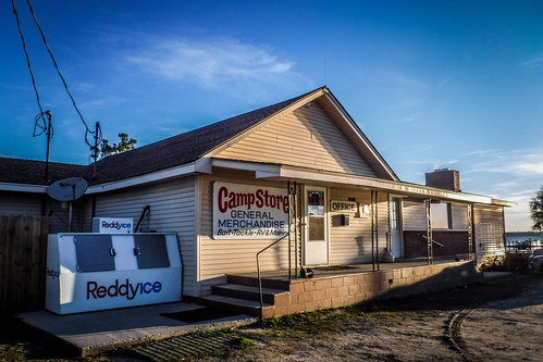
The camp store was a combination store, office, and cafe. I was early, but I went on in and got us a table for eight. Jerry, Tim, then Alan arrived. Ray and his son Todd got there a bit later, and even later still, Matt and John. Our paddling party was complete. We regaled each other with tales from out last trip over copious amounts of coffee, grits, eggs, and bacon.
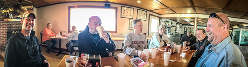
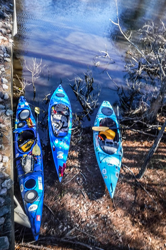
We were supposed to meet at 8:00, but after late arrivals and lingering over breakfast, it was 10:00 before we started to launch. Fortunately, we were right there. We didn’t have to drive from some cafe to another site. Everyone else pulled their boats around to the boat ramp, but Jerry, Tim, and I decided we could launch just a few feet from where we had parked. It worked.
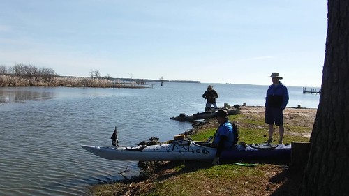
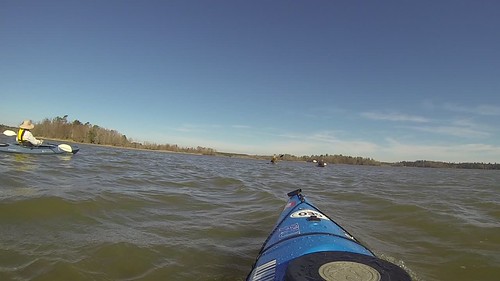
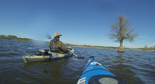
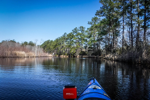
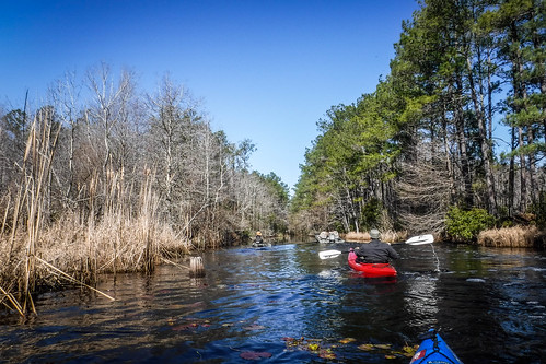
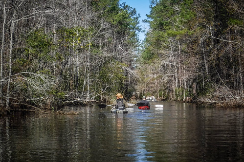
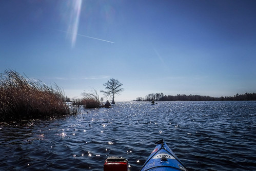
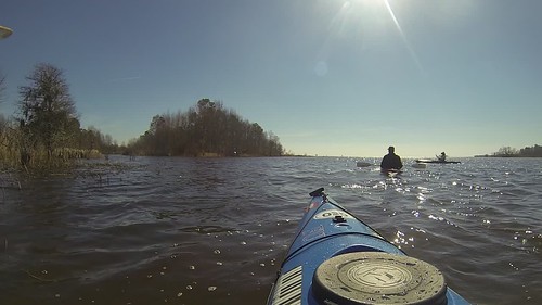
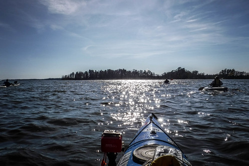
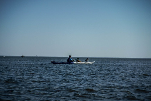
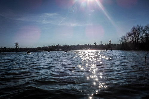
Our group gathered and we got underway. It was quite breezy out on the water, and we were facing a stiff headwind. As much as possible, we would stick to coves and sheltered areas.
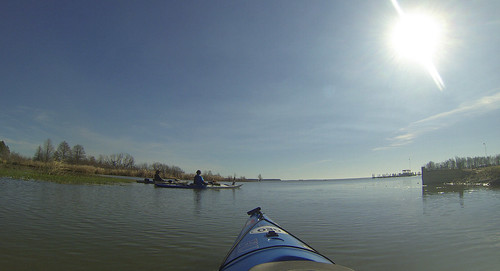
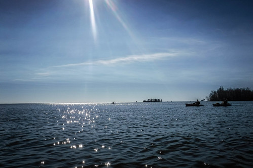
I knew there was a bit of open water we’d have to cross. My plan was to paddle pretty much directly to the canal entrance so that we would have time to explore it, then any other coves as we had time.
When I was mapping out the trip I had spotted two canals leading from this cove. The first led back to a small mobile home community and was NOT the one we wanted. The actual Santee Canal was further along. I’d made a mental note not to get confused, and had uploaded waypoints into my GPS.
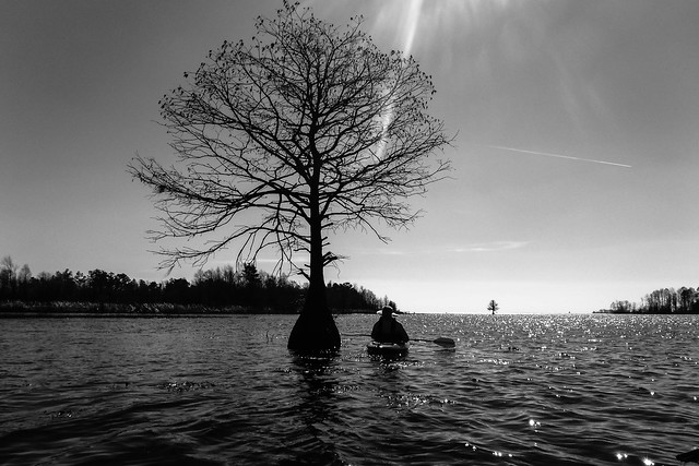
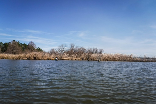
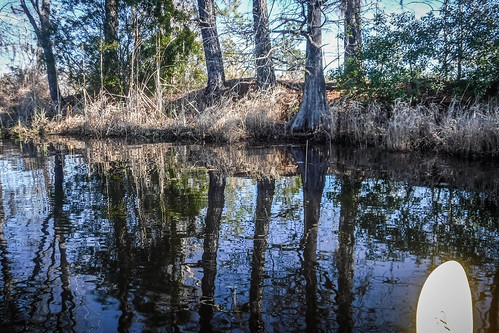
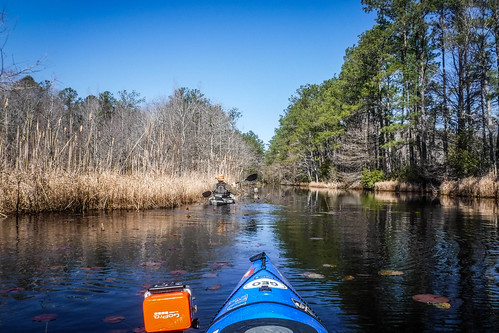
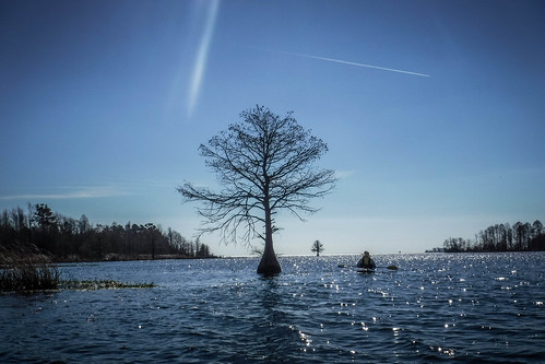
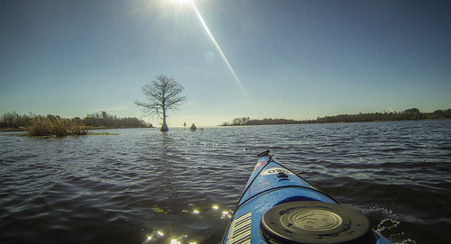
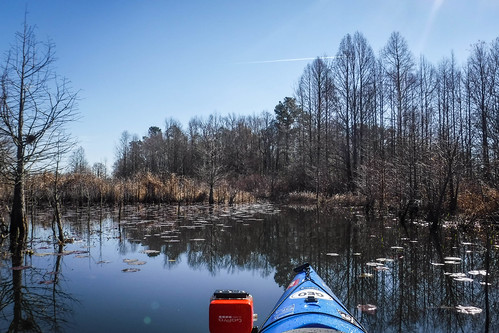
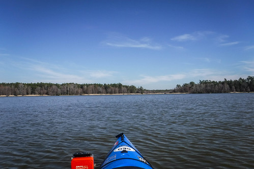
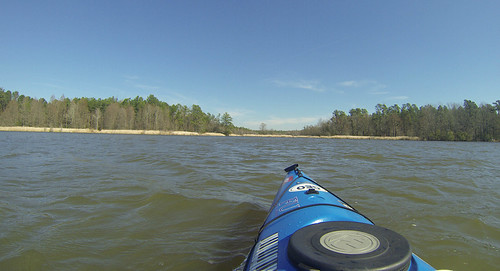
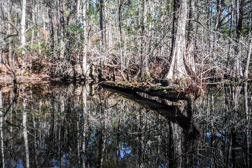
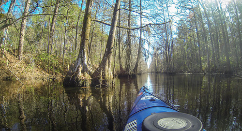
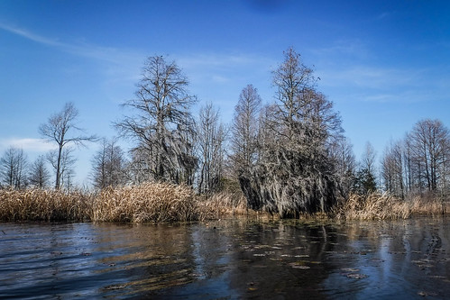
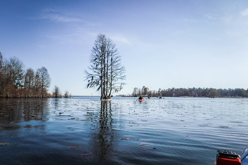
Right away, though, I could see that my views from Google Earth had been a bit deceptive. Areas that I thought to be nice sandy beaches were, in fact, stretches of blonde grass. This looked like it would be excellent birding habitat.
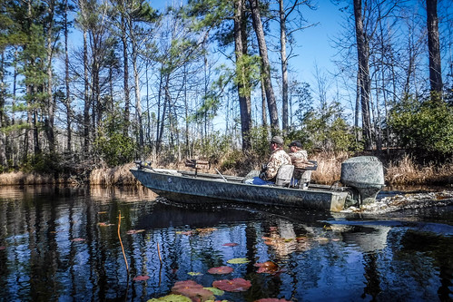
Never trust a guy in a john boat.
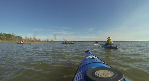
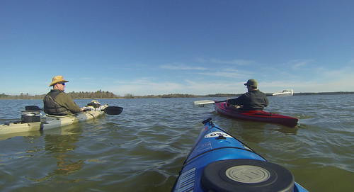
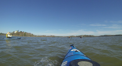
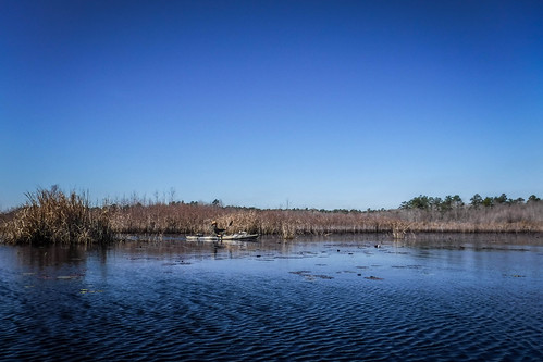
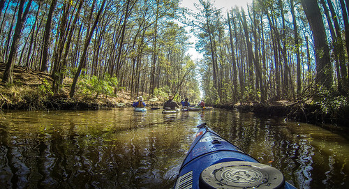
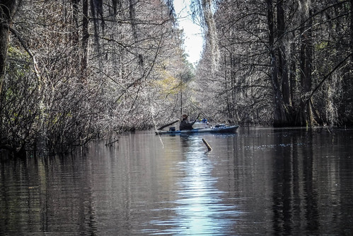
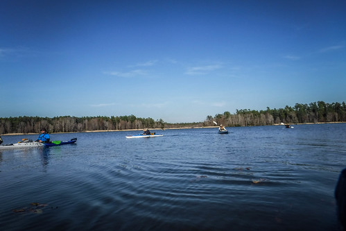
There were lots of fishing boats out and about. I’d dropped my GPS into the bottom of my boat while battling headwinds, so I was kind of paddling by directional instinct. We got to the entrance of the canal, and I asked one of the fishermen if this was the old Santee Canal. The guy said it was, so we paddled on in.
The route was narrow and reminded me of the Suwannee Canal we had paddled in Okefenokee. Another john boat came past us at a rather fast clip. Other than that, it was great to be out of the wind.
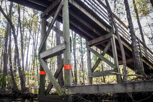
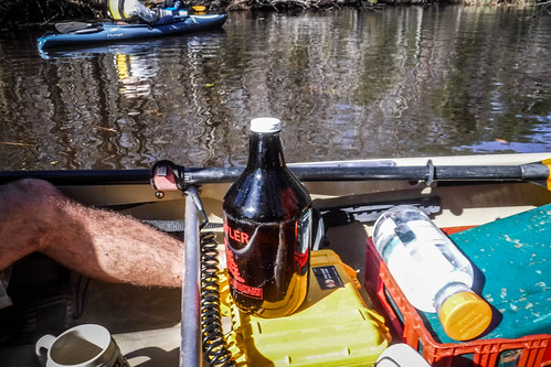
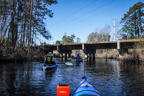
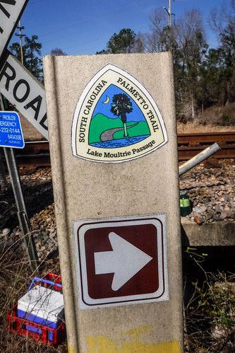
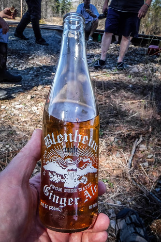
Ahead was a tall pedestrian bridge. I recognized it as part of the Palmetto Trail. Having reached a landmark I took the opportunity to pull over, change camera batteries, and enjoy some of the excellent growler of IPA that James Brown had sent along with us. The other guys paddled on ahead.
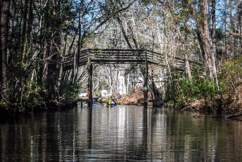
The next thing I knew the guys were coming back. My mental note had failed me. We were on the wrong canal after all. We made our way on back toward the lake.
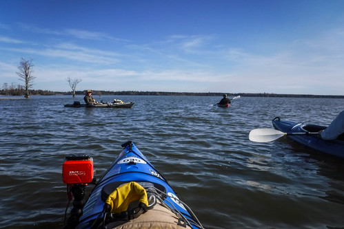
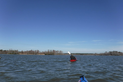
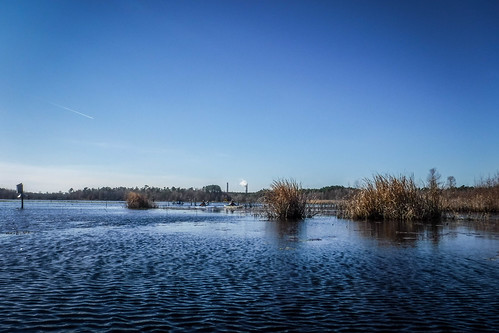
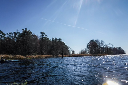
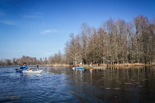
We made our way back out into the wind. After consulting both my GPS and maps on my phone I found that we were about a mile off the mark. We started looking for passageways so that we didn’t have to go all the way around the point. I found a nice sheltered route that led through some lilypads and grasses.
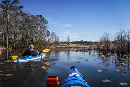
The channel opened onto a larger cove and across the way I could see the place that we SHOULD have been. At this point our group had separated. Half of the group was with me, but I didn’t think the rest of them had made the turn into our shortcut. We decided to paddle across the cove and wait for them at the entrance to the canal. It turns out that they had tried to go through the grasslands closer to the shore and had gotten stuck in some low water. Eventually they joined us.
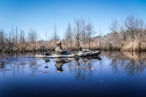
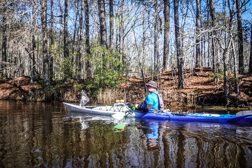
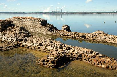
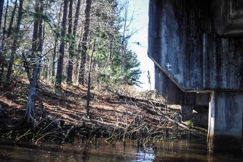
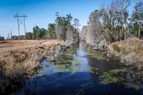
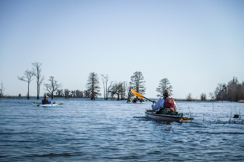
We were back on track. Our current location was where the Frierson Lock had been located. This was the central hub of the canal. To the south the canal dropped to a lower level, which makes sense that it would now be under water. A remnant of the path could be seen through the trees.
The route to the north was the summit of the canal, which is partly why it still exists. Apart from the canal itself and the tow paths along the banks, there was no other remnant of the canal. Even if these had survived, they would have been cleared when the Moultrie basin was created. I believe the remains of one lock were spotted during a drought in 2008, but none were visible today.
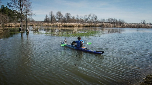
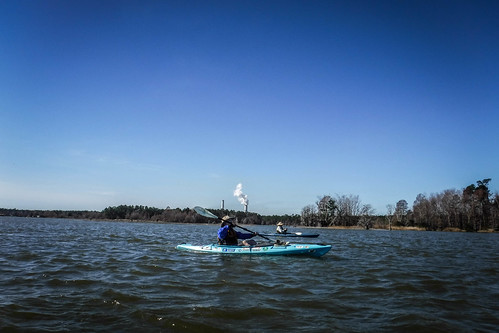
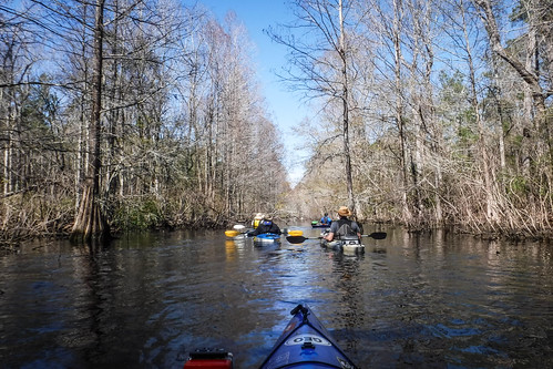
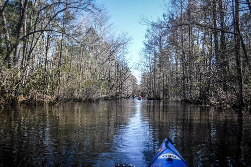
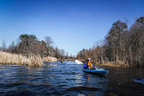
With our gang back together we headed into the canal…the correct one this time. Once again, it was nice to be out of the stiff wind.
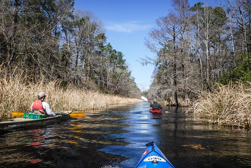
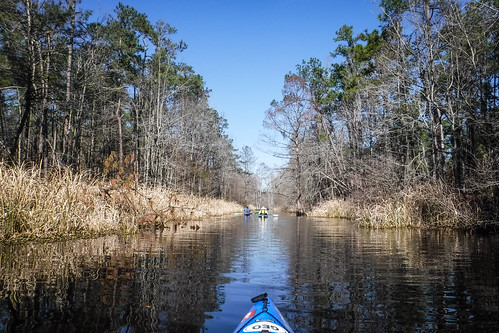
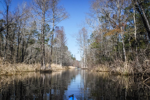
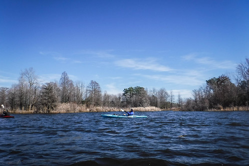
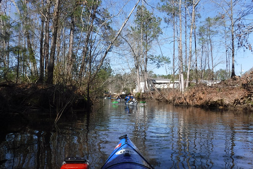
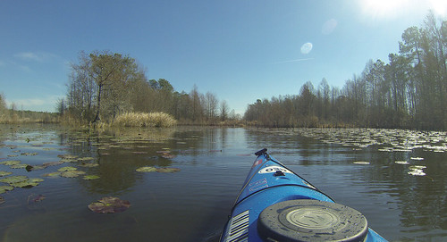
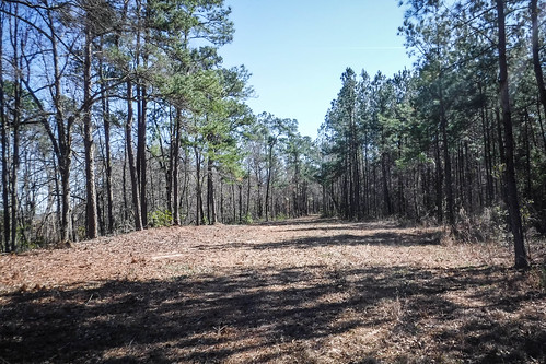
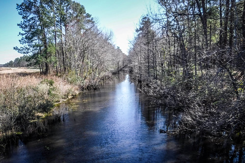
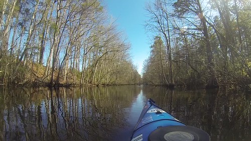
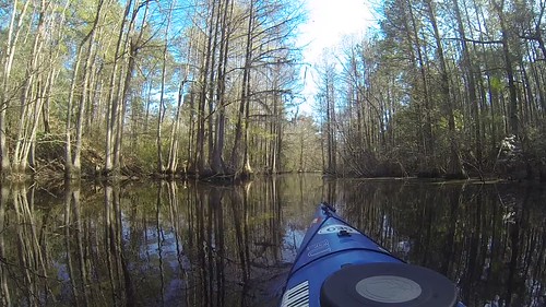
The further we got back into the canal the thicker the trees became. Cypress trees were beginning to encroach on the waterway. There were also several fallen trees and limbs, and at one point we had to scoot over a downed limb. I could see this route eventually choking down with vegetation.
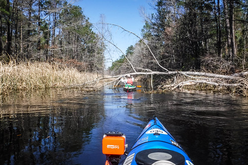
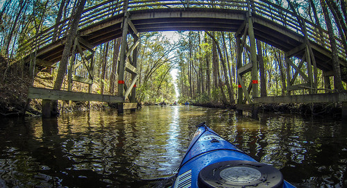
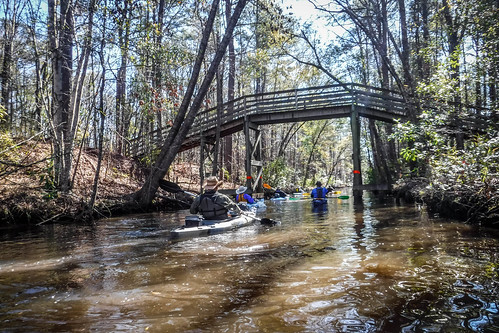
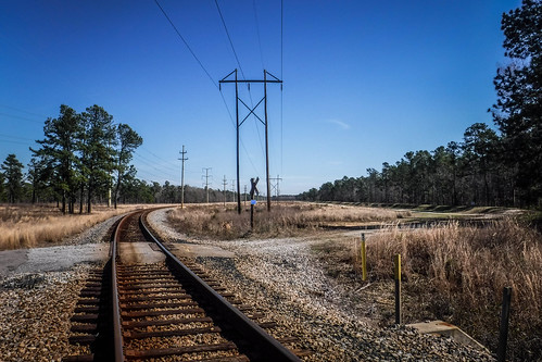
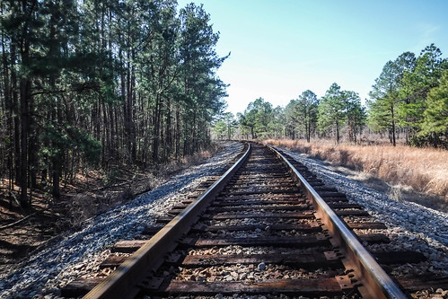
After a couple of miles of easy paddling we reached a railroad overpass. I’d marked this as a possible lunch stop, but once again Google Earth had deceived me. Instead of a nice sandy area to land there were briars and thick vegetation. After scouting about a half mile further along we decided just to go for it and have lunch at the bridge anyway.
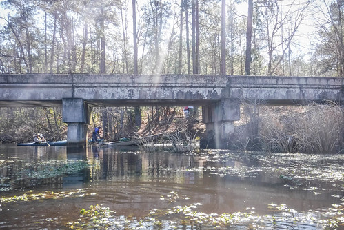
We were at a crossroads. In addition to the railroad the old tow paths ran along either side of the canal. Another dirt road roughly followed the power line right of way just north of the bridge. The Palmetto Trail followed the tracks and power line and crossed the canal on the railroad bridge. Apart from the rough landing, it did turn out to be a perfect stop for lunch.
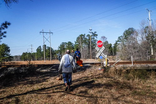
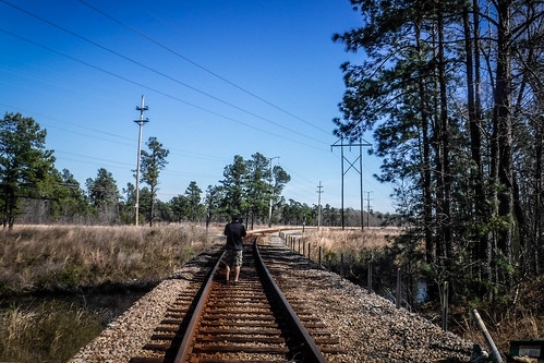
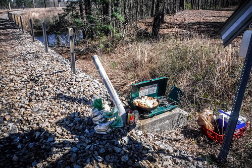
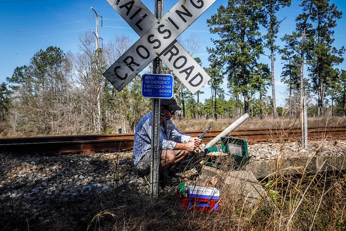
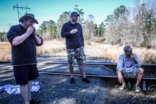
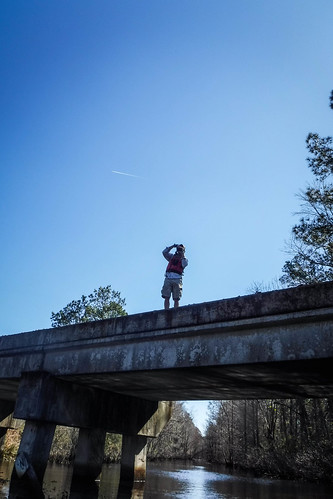
Stuffed with bratwurst and sauerkraut, it was time to head back. We paddled pretty much straight back. Alan lingered a bit, and was rewarded by seeing a train crossing the trestle. It was a good thing we had finished up our lunch. The rest of us heard it in the distance but didn’t see it.
On return trips we tend to hit a rhythm. Often I start singing Grace Potter’s “Nothing but the water” to keep a paddling rhythm. This time I thought the old Erie Canal song might be more appropriate. I sang, much to the dismay of my compadres. I tried to make up lyrics appropriate for the Santee Canal, but wasn’t too successful right on the spot.
I’ve got an old mule and her name is Sal
Fifteen years on the Santee Canal
She’s a good old worker and a good old pal
Fifteen years on the Santee Canal
We’ve hauled some barges in our day
Filled with cotton, tobacco, and hay
And every inch of the way we know
From Porcher Bluff down to old Bonneau.Low bridge, everybody down
Low bridge for we’re coming to a town
And you’ll always know your neighbor
And you’ll always know your pal
If you’ve ever navigated on the Santee Canal
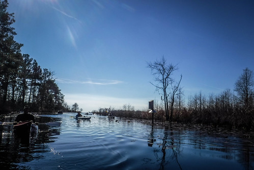
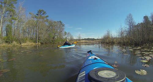
We broke back out into the open waters of Lake Moultrie and paddled across the cove. This time all of us took my cut through.
We explored a few more passages along the edge of the lake, hoping to stay out of the wind. We were tired, and weighing possibilities of getting stuck and temporarily lost with just going for it and paddling back to the landing.
We made it back without incident. I was able to land my kayak just a few feet from where I’d parked the car, so I didn’t have to haul the boat far.
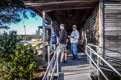
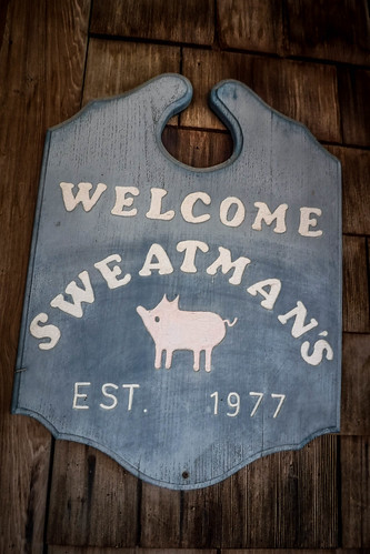
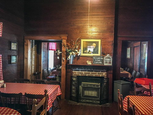
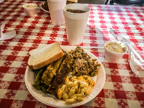
A good breakfast, brats and good beer for lunch…the only thing left to make this a perfect Lowcountry Unfiltered outing was to find some good barbecue. For that we drove on up through Eutawville, then was to the middle of nowhere to find Sweatman’s BBQ. It was a perfect end to the weekend.
We had only paddled 8.5 miles, but with the headwinds it seemed like more. That brings me up to a little over 27 paddling miles for the year.
It was fun learning about and exploring part of the old Santee Canal, and we saw some beautiful scenery and cool things. I still like Lake Marion better than Moultrie, but next time I won’t be so dismissive of the lake as a paddling venue.

Sweatman’s is a great bbq place.