I wasn’t really planning to do a waterfall excursion. Truth be told, I didn’t really have anything planned. Laura was away at her sister’s, so I had Saturday available for a solo outing. My only real thoughts were to head up to Sassafras Mountain and check out the new overlook, then just see where things went from there. Turns out it was a perfect day for catching waterfalls.
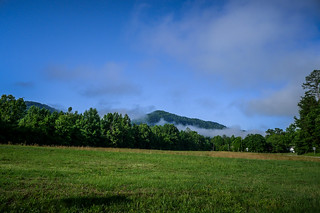
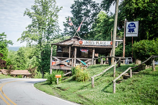
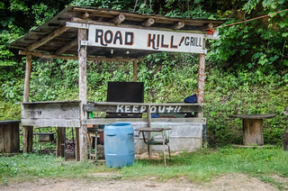
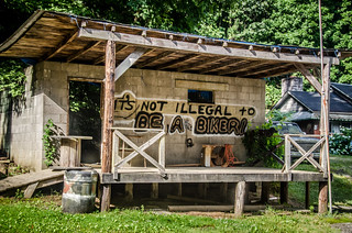
I started out early, taking 276 to Highway 11, and from there over to Highway 178. There were some low clouds giving way to clear skies, with fog hanging where those clouds touched the mountains. Table Rock was shrouded, so I didn’t pause for any photos there. On Highway 178 I got to Bob’s Place, and on a whim turned down toward the Estatoe Valley, heading toward Twin Falls.
Twin Falls
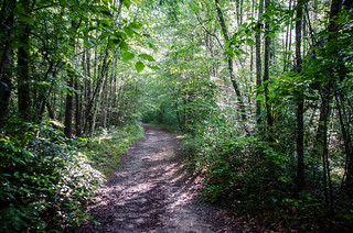
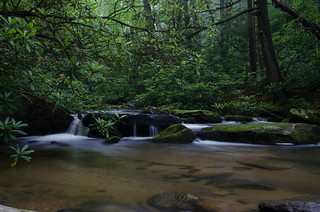
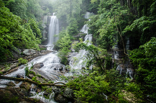
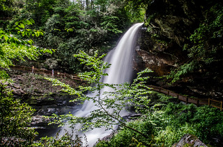
The valley was spectacular with the low clouds. It looked like the morning would provide optimum conditions for waterfall photography. I started the walk up the trail, pausing to take a couple of long exposure shots along Reedy Cove Creek.
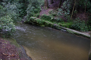
At the base of a sliding rock fall there is a near-perfect swimming hole. It was small, but deep, with a great rock for jumping into the water. I spotted a bicycle and pile of cloths. Someone else decided that early morning would be a perfect time for a skinny-dip. I kept going.
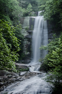
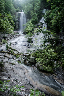
I reached the falls proper and headed up to the observation platform. Twin Falls, aka Reedy Cove Falls were full with the additional rain from TS Andrea. Low mists hung over the falls. I tried several different exposures and compositions to capture the falls.
Normally I like to explore the base of the falls a bit, but with the wet rocks I confined my shots to the overlook. Plus, I still wasn’t quite sure what I would be doing for the rest of the day, so I didn’t stick around. I hiked on back to the car and retraced my steps back to the infamous Bob’s Place, where I paused for a few more photos.
Sassafras Mountain
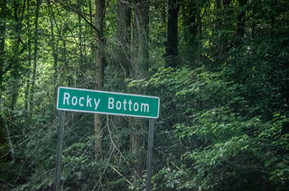
Highway 178 twists and turns through the Jocassee Gorges area until it reaches Rocky Bottom. There the Sassafras Mountain Road turns off 178 and runs past Rocky Bottom Campground.
Rocky Bottom Campground is a name long in lore in my family. My dad served as a camp counselor there during the summers in the early 1960’s. I have vague memories of the place from when I was 3 or 4 years old. My older siblings remember it quite well. I was tempted to stop for a few photos, but I kept going.
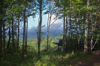
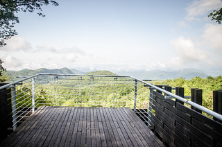
When I got to the top of the mountain I found a new parking area and a path leading down to a dramatic overlook.
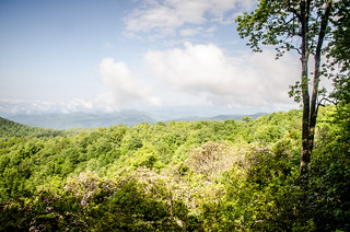
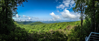
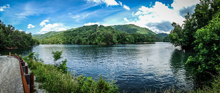
I was confused, though. Somehow I had gotten all turned around, and it seemed to me that the overlook was looking north rather than south. Why would an over look for the highest point in South Carolina look out over North Carolina? Better views? Other signs pointing out locations along the Foothills Trail made no more sense. I finally pulled out a compass to confirm that I had gotten befuddled, and that the overlook did, in fact, look out over South Carolina. As the clouds burned off I could start to make out Lake Jocassee and Keowee below.
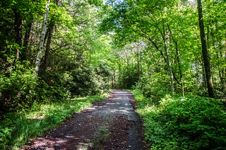
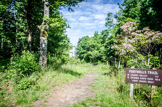
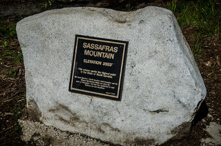
The road to the summit is now blocked off to automobiles. It didn’t make sense to trek all the way to South Carolina’s highest peak only to stop shy of the top. I walked around the gate and followed the road to the summit. The Foothills Trail leads off east and west. A stone marker designates the spot as the highest point.
There used to be a fire tower here, now replaced by a communications tower. Future plans include construction of a tall observation tower at the summit. Brochures down in the parking area showed the tower design and solicited donations by having patrons purchase a brick. It should be spectacular when finished.
I left Sassafras and retraced my route back town to Rocky Bottom. From there I continued north into North Carolina. The road winds through some scenic valleys, and eventually arrives at the town of Rosman.
Truth be told, it doesn’t seem like there is much in Rosman. There is a school, a few quick shops, but not much more than that. There are no restaurants or quaint shops that are found in so many of these little mountain villages. Granted, it looks like a very nice, well-kept community and looks like a great place to live, but apart from access to the French Broad River it doesn’t look like much that would attract outsiders. Out on the main highway 64 I paused at a new outfitter store with rental kayaks and other paddling and fishing gear.
The Desolation of Smaug – Rosman to Highlands
Rosman is a nice little rural farming village. Beyond that to the west on Highway 64 is what I consider to be a blighted landscape. From Rosman to Highlands is nothing by mile after mile of housing developments and golf courses. Sure, it looks all green and pretty, but it just seems wrong. For example, I stopped at Toxaway Falls to see if I could get a view of the falls themselves. I could only get a glimpse of the top of the falls from a store parking lot. Everything else was condos right to the edge of the river and restricted access.
There is hope, though. While the west side of the river has been developed, according to this website the east side is now part of the Gorges State Park. There still seems to be no access to view the falls, though. If one does get in position to view them, there are the eyesore condos in the way.
I actually like the little towns of Sapphire, Cashiers, and Highlands. These towns predate all of the development in the area, but have expanded with the new resorts, etc. And I guess therein lies the quandary – the towns thrive because of the development. Is it a necessary evil? Could just as much economic gain come from tourism if the area had been left in its natural state? I hate the phrase “it is what it is”, but I guess that’s what NC has decided is best for this area. I’m just glad South Carolina saw fit to protect its mountain areas.
It was getting close to lunch time. My intent was to find something to eat in Highlands. When I arrived there was quite the crowd. It seems some antique auto show was going on. There were no parking spaces to be had, so I continued up Highway 64 toward the Cullasaja Gorge.
Bridal Veil and Dry Falls
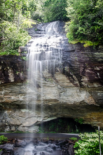
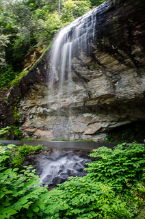
Just north of Highlands one finds Bridal Veil Falls. A paved loop takes one under the falls, so it is possible to drive underneath. Given the crowds today, many were doing just that. Nonetheless, I tried to get a couple of shots in between people driving under the falls.
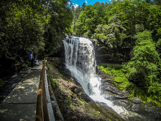
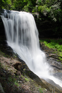
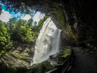
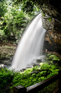
Further on up Highway 64 is the more dramatic Dry Falls. The falls are so named because it’s possible to walk underneath the falls and stay dry (sort of.) It had been awhile since I’ve visited these falls. They have completely redone the parking area and trails, and it looks much nicer and safer. I took a couple of photos on the way down.
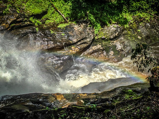
As I got closer I could see that a rainbow had formed at the base of the falls.
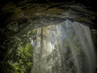
I continued on around behind the falls. I kept the big Nikon covered, using only the little GoPro.
On the other side of the falls another photographer joined me. He introduced himself, and I immediately recognized the name – Bill Robertson. I mentioned this to Laura, and she reminded me where we had seen his work – St. Francis Hospital, where we have spent far too much time this year. Bill is a fantastic photographer, and we spent some time chatting.
Bill and I waited for the the sporadic clouds to darken the skies enough for a longer exposure. Fortunately, the clouds helped us out a bit. I got a few shots.
From Dry Falls I continued on north toward Franklin. I figured there had to be food there. Along the way it looked like there was parking at Cullasaja Falls. However, that approach on the narrow road is always treacherous, so I decided to keep going. I glanced at the falls over my left shoulder.
Lunch in Franklin
I drove through the town, looking for somewhere interesting for lunch. Motor Company Grill looked like it would fit the bill. It was decked out like a 1950’s classic diner. I enjoy a Reuben and sweet potato fries while watching Grease on a TV monitor. I realized that I had never seen any part of it – neither the movie nor the video.
107 South and Bear Creek Lake
From Franklin I headed east, roughly back toward Asheville. However, I didn’t intend to go quite that far. My intent was to connect with 107 and head back toward Cashiers across new territory. I drove through Dillsboro, crossing the Tuckaseegee River, then headed south through Cullowhee and past Western Carolina University.
Beyond Cullowhee the road narrows down to two lanes, following the upper Tuck. At this point the river looked fairly tame, like it would be perfect for recreational paddling or tubing. However, there was no one on the river this beautiful day. Was I missing something? There may have been hidden problems as the river ran through farmland valleys, and it looked like there was not much public access. In the community of Tuckaseegee a sign pointed toward Bear Creek Lake. The name rang a bells, so I decided to check it out.
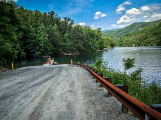
The Greenville Canoe and Kayak group had sponsored a trip last summer up to Bear Creek Lake, but I had a conflict with that trip. I decided to check out the landing.
It looked like an excellent place to paddle. I see a trip back up this way in the near future.
I made my way back to 107 and continued south. A few miles down the road there was a large parking area with tons of whitewater boats. So this was where all the paddlers hang out. I couldn’t decide if the route was upstream or downstream from where I was.
The highway ran past Lake Glenville and the town of Glenville. This was another lake with paddling potential, but it was larger, and there was more development along the shore.
Silver Run Falls
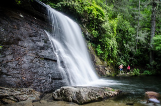
I made it back to Cashiers, but this time continued south on 107, crossing my morning route. I came to a sign pointing toward Silver Run Falls. The parking area was narrow and hazardous, and there wasn’t a spot to be found. I circled back a couple of times trying to find a way to park. Finally, a car left, and slipped into its spot.
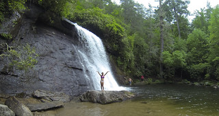
I had no clue how long the trail might be. Turns out it was short, and led to another nearly perfect swimming hole at the bottom of the falls. Even though it was about 4:00 by this time, there were still a few people enjoying the cool water.
Returning Home
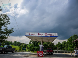
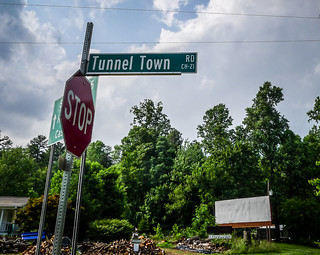
By this time I was getting tired. I took 107 back southward until it intersected with Highway 28. I pulled into a quick shop for a cold drink and candy bar. As I got back in the car I glanced up and decided I had to take a photo of the store sign.
Tunnel Hill was one of the ghost towns I explored previously. The road next to the store was Tunnel Town Road, so I had to check it out. It just led past some farmland, with no indication of the former town.
From this point I drove pretty much directly back, through Walhalla then Clemson and Easley. Here’s the final waterfall count…
Waterfalls photographed:
- Twin Falls, aka Reedy Cove Falls
- Bridal Veil Falls
- Dry Falls
- Silver Run Falls
Waterfalls seen, but not photographed:
- Wildcat Wayside
- Toxaway Falls
- Cullasaja Falls
So, not a bad day after all. Here’s a map of those locations.
View 06-09-2013 Waterfall Ramble in a larger map




Looks like you saw a goddess at that last falls. 🙂
Sounds like a great trip. Good shots. Waterfalls are tough to shoot IMO.