It was a beautiful Friday, and both Ken and I felt the need to get out of our respective houses and explore. I headed over to Clemson to pick him up, and we set off, eventually make our way over to Northern Georgia.
This was one of those cases where we weren’t really sure where we were going. We had no target in mind. We both just needed to get out. I’d been cooped up with a bad head cold, and really needed some time outside. After some back and forth, we headed roughly west, then south.
I was trying to get us from Clemson to I-85 by some means other than US 76. That route took us through the town of Fairplay. I’m not really familiar with that area. Looks like there was some photographic potential, but the only thing I photographed was the old Fairplay Elementary School. For some reason I didn’t have that on my list of old schools. I’d add several others throughout the day.
At I-85 we headed west, crossing Lake Hartwell into Georgia. We were still not sure of our destination. Ken suggested south through Royston and Franklin Springs. Honestly, the thought of being that close to Emmanuel College, where most of my family attended (and most of my siblings got kicked out of for minor infractions) gave me the heebie-jeebies. I suggested heading north instead. So, we took the Lavonia exit and headed north on GA 17.
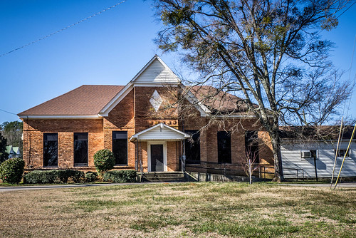
Just past the Interstate I spotted another school. This was a Rosenwald four-teacher east-west Nashville design – very distinctive architecture. This one was unusual in that it was brick instead of wood framed. One of the most distinctive features of the Rosenwald schools was the huge banks of windows to let light into the classrooms in a pre-electricity era. Sadly, in so many exisiting Rosenwalds the windows have been replaced and reduced. Such was the case with this school. GNIS data showed that this was the “Line Academy.” I couldn’t find an entry for it on the Fisk University Rosenwald database.
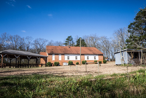
We continued north until we got to the town of Martin. Just on the south side was another old school that caught my eye. This one had much more dramatic architecture than the Rosenwald, and it looked like it was in use as a community center.
Martin itself looked like an interesting, typical southern town. There were some nice old houses along the main street, but we didn’t stop for photos. It also looked like the town was about to be bypassed by a new four-lane version of 17.
Continuing north, we eventually began to catch glimpses of the very prominent Curahee Mountain to the west. As with Paris Mountain in Greenville, the summit is topped with transmission towers and a lookout tower. I wondered if there were a way to get to the top. I missed one bypass that would have taken us close, and somehow wound up in downtown Toccoa.
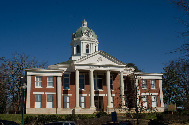
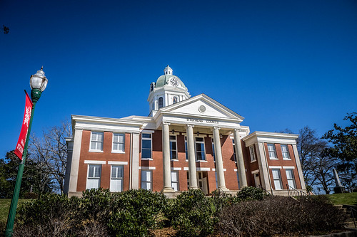
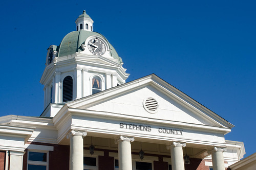
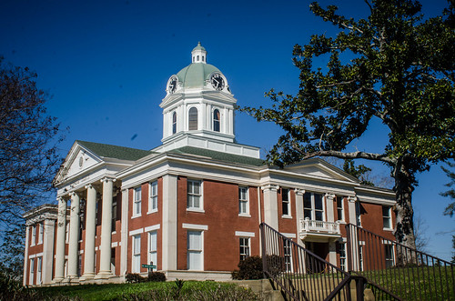
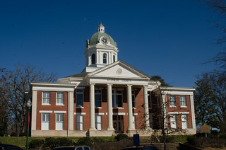
Since we were here we decided to get out. The dramatic Stephens County Courthouse was hard to miss, so we walked around taking photos from various angles.
There was quote a bit of activity in the town center, which I was pleased to see. Across the street from the the courthouse an old theater was being restored.
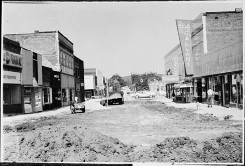
I checked my Geocaching app to see if there were any quick grabs around the town square. Here I learned that part of downtown had once been enclosed, or at least covered as a mall. There was a geocache nearby to commemorate this.
Back in the 1960s and 70s malls were all the rage, and Toccoa thought to capitalize on this by enclosing part of Main Street. This photo from 1972 shows the the building fronts as construction was just getting underway.
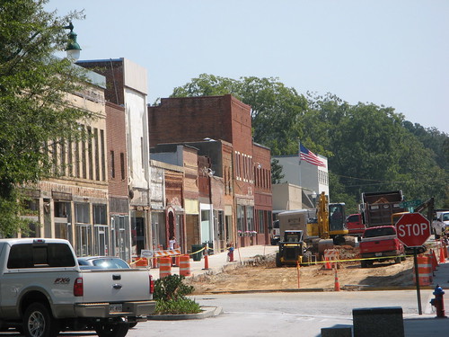
All this did was to hasten the decline of downtown stores. In the 1990s a movement was underway to restore and revitalize Main Street. It wasn’t until 2007 that the canopies were removed and Main Street was restored to its former state. Here’s a photo from Wikipedia showing the other end of that process.
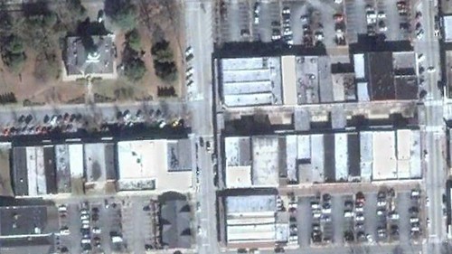
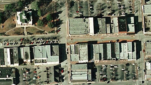
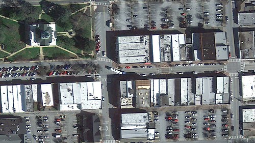
The historical imagery from Google Earth also illustrates the transformation. Here are three images. The first is from 2007, showing the canopy still in place, the second from 2008 after removal, and the third from 2013, pretty much as is appears today.
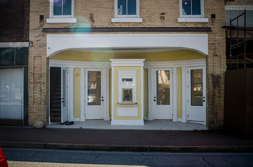
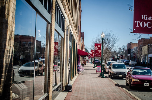
Here’s how I found it on our visit…
We left Toccoa and continued west. I was still looking for a way to get to Curahee Mountain. Outside of town we took 288 at the base of the mountain toward the north. I didn’t see a road to the top, so it looked like we were out of luck. The road did climb steeply, and it was obvious that we were reaching a plateau.
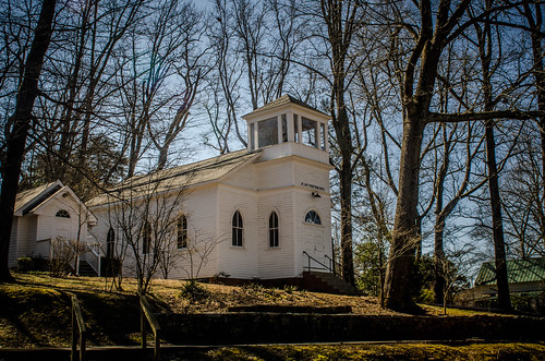
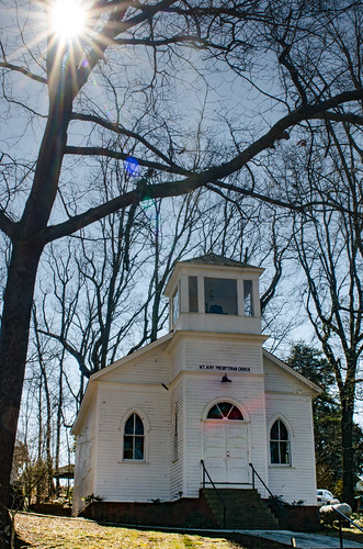
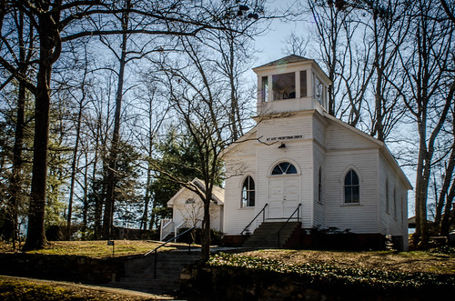
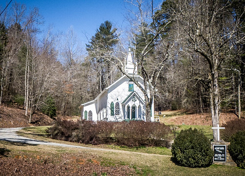
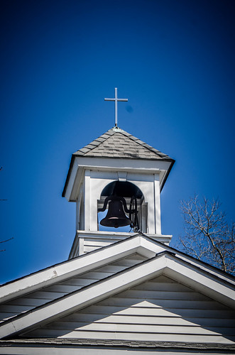
Not too far along we came to the town of Mount Airy. The most striking feature was an old white wooden frame church sitting on a hill. We stopped to take a couple of photos.
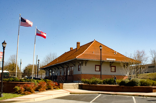
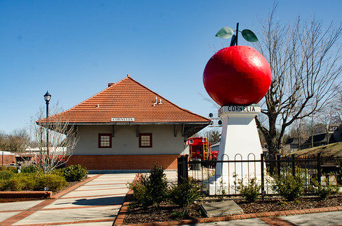
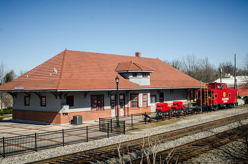
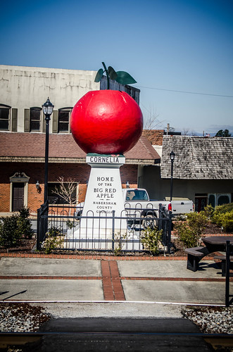
Our next stop was the town of Cornelia, just a few miles further along. There was no particular reason we visited, other than the fact that neither of us had been to Cornelia, and…why not? The town had a restored railroad depot that new serves as a museum. There was also a big red apple in the center of town for some reason.
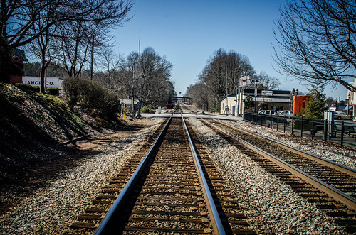
The streets of the little railroad town were laid out oddly, influenced by the rails and lay of the land. Something about the one-way side streets appealed to Ken. The town looked interesting, but it also looked like there wasn’t much going on.
It was getting close to lunch time, and we wanted to find some place interesting. Ken asked how far we were from Helen, Georgia, and it looked like we were only about 20 miles away, well within range. We decided to head that way.
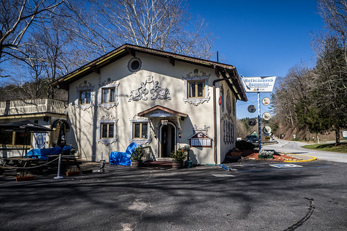
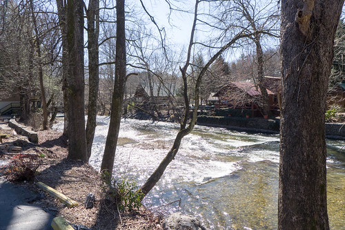
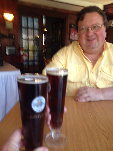
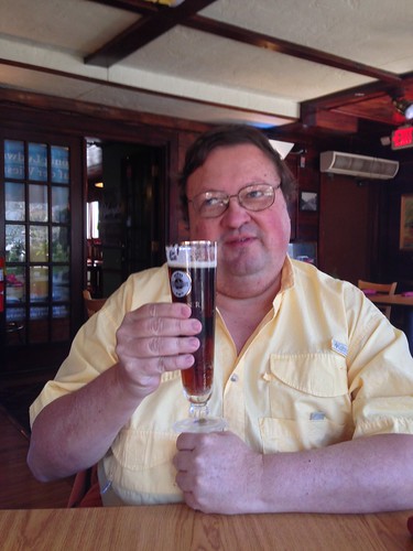
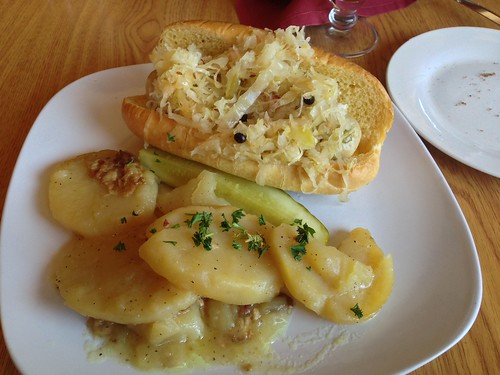
We drove pretty much non-stop across county until we got to the Sautee-Nacoochee Valley, then headed on into Helen. Helen struck me as it always does – a Bavarian version of Pigeon Forge, with the worst attributes of each. Nonetheless, we found a place on the other side of town called the Hofbrau Haus that would work. We had a nice lunch of wurst, capped off with a good beer, right on the banks of the Chattahoochee River.
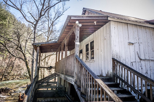
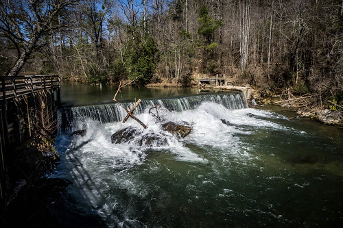
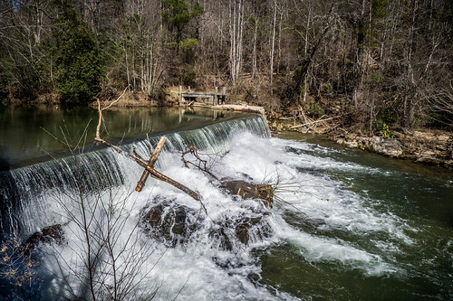
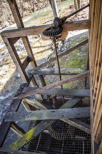
And, we left town right after lunch about as quickly as we entered. Honestly, we did look for a parking space, but something about paying $5 for parking to see kitsch just didn’t sit well with either of us. We did stop briefly at Nora Mill on the way out of town to photograph the dam and mill works.
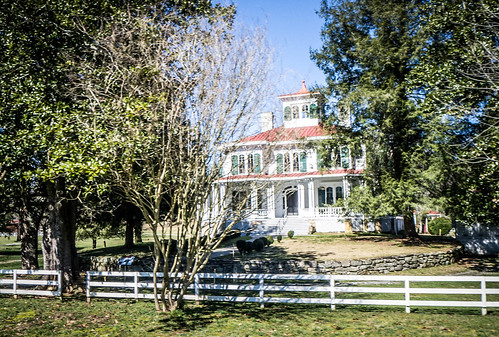
On the way out of town I also snapped a couple of quick shots of the iconic Nacoochee house and Crescent Hill Church.
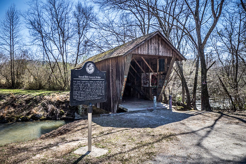
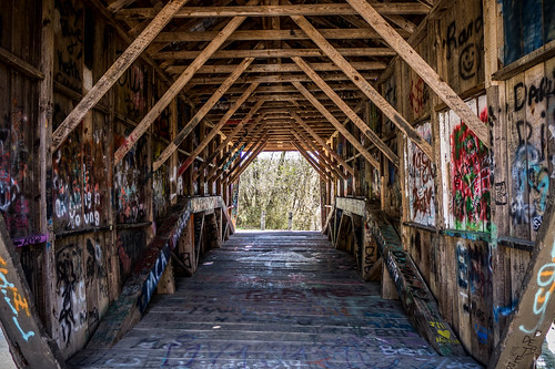
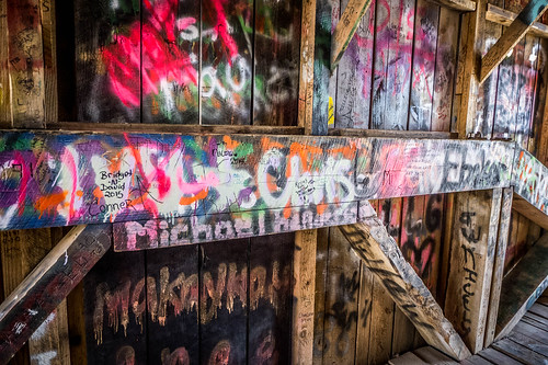
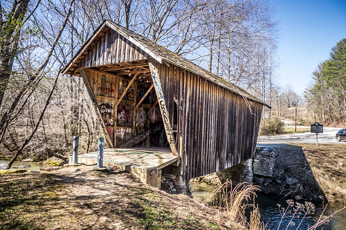
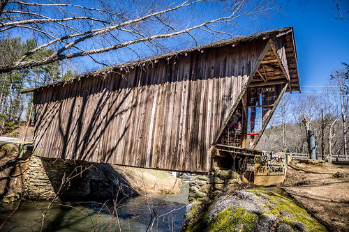
At the Sautee-Nacoochee community we turned on 255 toward the Stovill Mill Covered Bridge. The bridge is about three miles north. It’s a short covered bridge, and I was very disappointed to see the amount of graffiti covering the bridge.
I just don’t understand the urge to deface stuff. Idiots. Stupid idiots, plain and simple.
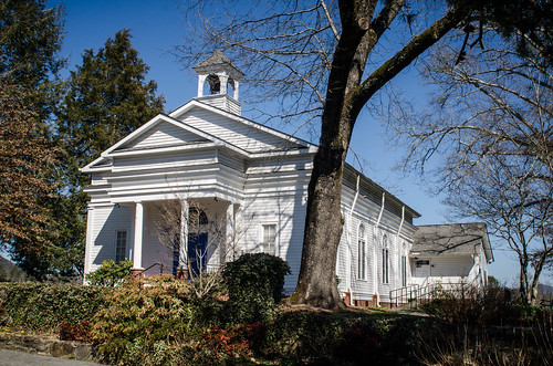
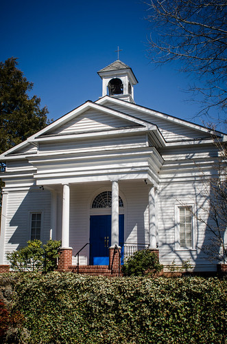
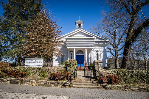
We retraced our steps and stopped to photograph the scenic Nacoochee Presbyterian Church. I would have loved to have seen the interior.
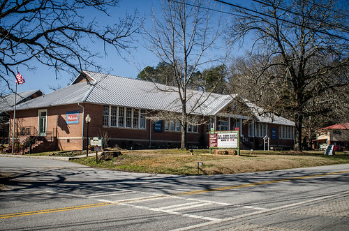
Across the street is the old Nacoochee School, which serves as an arts center. I wish we’d had time to go inside, but the afternoon was getting on.
At this point we were pretty much done with exploring. I had mentioned to Ken that I wanted to stop in Clarksville for some photos. On a previous trip I’d noted how nice the town looked. This time, though, it didn’t strike me that way. Not that the town is bad, or not scenic. It’s just that it wasn’t as outstanding as I’d thought. It’s still a lovely place, but on that trip it had struck me as more…wholesome after the sensory overkill of Helen. This time we didn’t stop, but we took the most direct route back to Clemson, which took us back through Toccoa and across the Tugaloo River on US 123. It was still a scenic ride back.
It had been a good day out and about. One of these days I need to actually plan a trip through this area, where I highlight places that we want to stop.

Wow, awesome. Thanks for sharing.
Tom….Enjoyed the photos. Except for the crappy graffiti on the covered bridge, everything looks so fresh and clean in them. Interesting point on Curahee Mountain. It was featured in the first episode, called Curahee, in the mini-series Band of Brothers. The men of “Easy Company” were training at Camp Tocooa, and had to run up Curahee every day. Of course, I don’t know if the episode was shot on the actual site or not.