Despite its flaws, I’ve had a blast with the new Flickr Maps over the past several days. Seeing my travels laid out so neatly has prompted me to go back into my older photo archives and upload some of those images. There were quite a few digital images, but most were taken with a good old 35mm and are on 4X6 paper. Nothing for it but to fire up my trusty scanner and open Photoshop.
First I started with slides, mainly because I had never really tried these with a scanner. The results were passable, but there seems to be a ton of digital noise at higher resolutions. I also tried a couple of negatives with similar results.
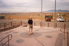
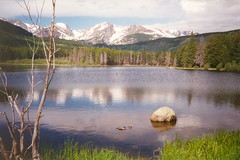
I’d love to convert all of my photos to digital media, but this is going to be a long, drawn-out process. Right now I’m concentrating on two categories: 1. My Favorites, and 2. Extremes of travel. I’m scanning images of trips to California, a year in Arizona, Washington (State and D. C.), cross-country drives, Maine, Colorado, Mexico, and Canada.
On my first trip to Europe, my traveling companion complained about people seemingly living their lives through a camera lens. Twenty years later, I’m not so sure that’s a bad thing. It’s been fun reliving these travels through my photos. Of course, seeing these images makes me wonder how I was ever that skinny, or was my beard really that red?