Fellow explorer Mark said he was up for another adventure. He had a list of places marked along Highway 414 up toward Tigerville, some old houses, historic churches, and even a couple of old schools. He also wanted to check out the old T. P. Wood store in Tigerville to see how renovations were going. So, on Wednesday we set out and knocked quite a few of those places off the list.
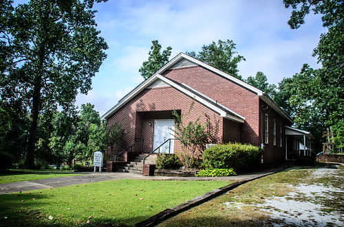
Our first stop was Cool Springs Primitive Baptist Church. Just the name makes it sound intriguing. The church is located on Cool Springs Road just north of Highway 414. There is a modern(ish) building that was built in 1956…
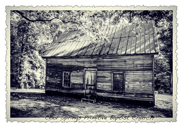
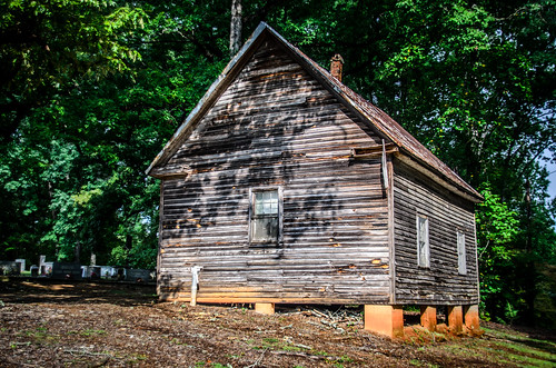
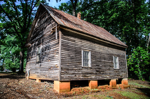
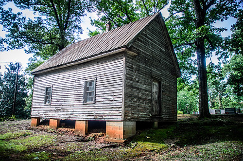
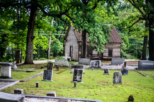
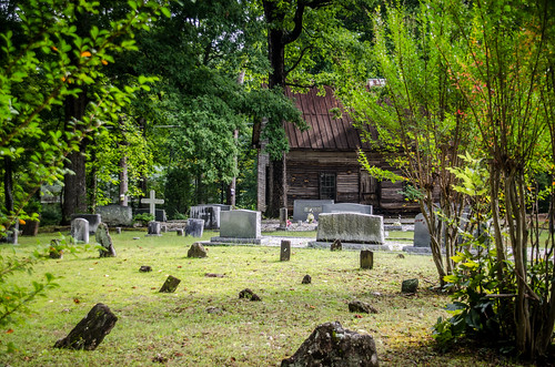
…but more interesting is the original church. This weather-board structure sits perched above the road, and dates back to 1840.
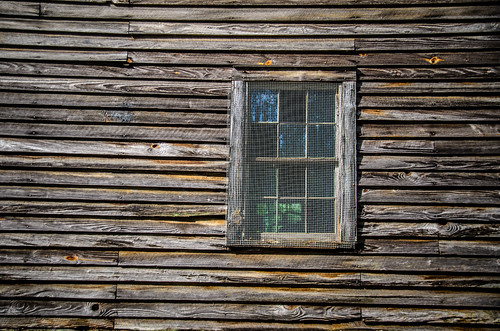
The old church is not on the National Register of Historic Places, but has been deemed eligible by a recent archeology survey of the county (PDF). The structure is now just used for storage. We could see bicycles and lawn mowers through the windows. I didn’t attempt to get an interior shot.
The main entrance to the church is on the side facing the cemetery. The road actually runs behind the church.
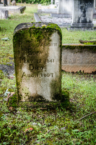
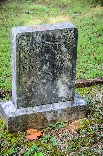
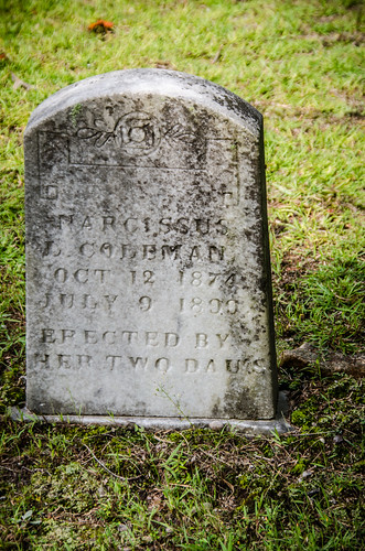
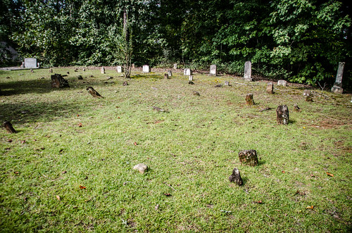
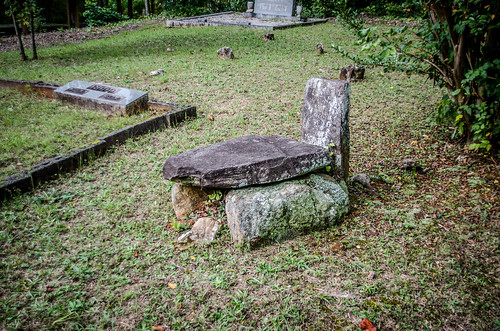
Mark and I took a few minutes to explore the cemetery itself. I didn’t expect to find any signature stones, but there were some old ones
Most of the oldest of these were either just field stones, or so highly eroded as to be illegible.
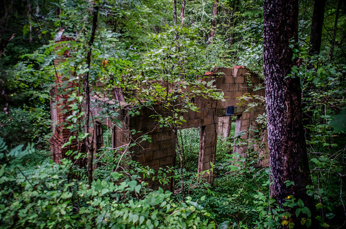
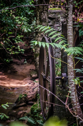
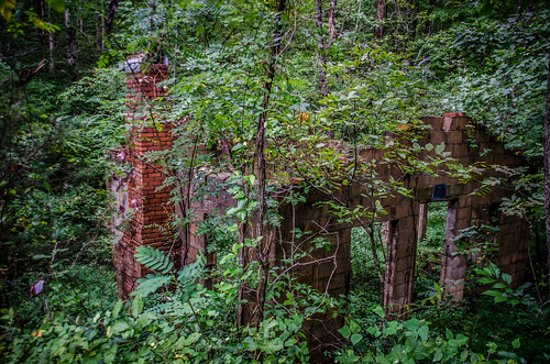
We continued on our travels. The next target on Mark’s list was Trammell Mill. I’d stopped by here before, but I’m always game for another visit. I really don’t know much about this mill. Nothing remains but concrete walls with no roof, and a single small wheel over the creek. There were No Trespassing signs, so we could only try to take photos from the road through the vegetation.
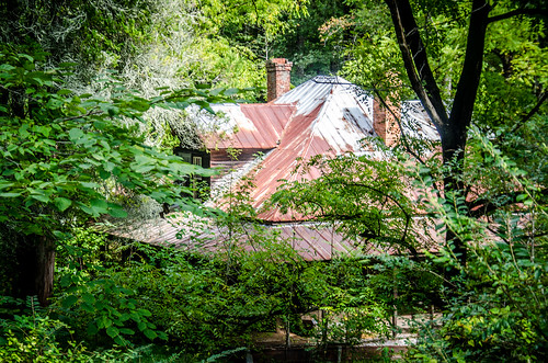
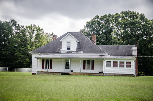
We continued on around Trammell to Burns Road. The country is almost mountainous at this point, and the road runs along the sides of some deep coves. In one of these coves sits and abandoned farm house. Mark had checked the property records and found that it belonged to the Burns family for whom the road is named.
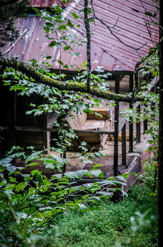
The house had an almost-pyramidal roof with prominent opposing dormers. Porches wrapped nearly all the way around the house. An old couch was visible on the porch.
We contemplated trespassing and walking down into the valley. A steel cable ran across the driveway, and about the time we had made up our minds to head down a car drove by slowly, so we decided against that plan.
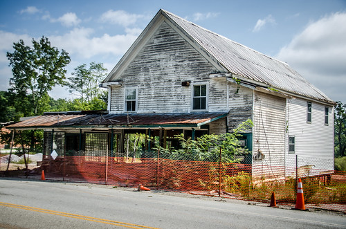
The next stop was Tigerville, proper. Mark wanted to see how work was progressing on the T. P. Wood Store. Here’s what it looked like when I visited in 2010.
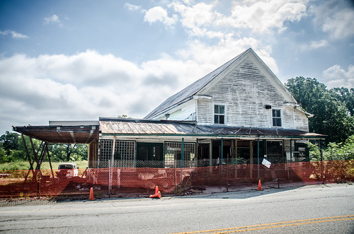
Here’s what it looked like when we stopped by Wednesday.
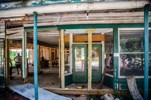
We talked with one of the workmen on site. He was happy to give us some information about the project. The right side of the building is going to be a quick shop, and the left side a Poppa John’s Pizza. They had pretty much gutted the place and you could see straight through it. About the only thing they were leaving intact was the outside of the building.
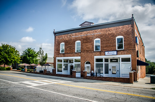
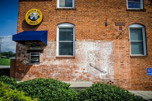
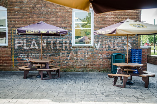
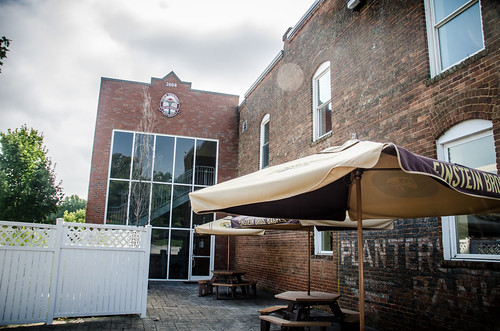
At the corner of 414 and 253 is a building that has already been renovated and repurposed. The Roe Building had been a store and bank. It now contained an Einstein Bros. Bagels, a bank as it had before, and arts classrooms for North Greenville College. Two phantom signs had been left intact on either side of the building.
It’s good to see these buildings rehabilitated and repurposed. For the most part the character of the buildings had been retained. I don’t think they would fit the “substantially unaltered” category as required for inclusion on the National Register.
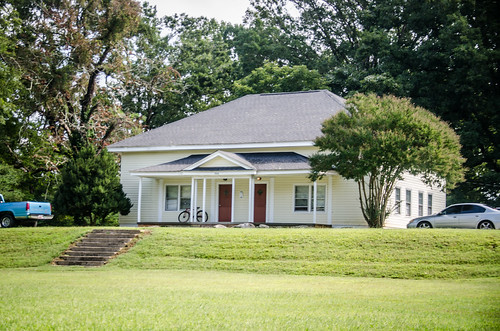
In between the Roe Building and T. P. Wood was a building I immediately recognized as an old school. Like Wood and Roe, this one had also been renovated, and was now used by North Greenville.
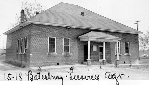
I’m sure this is the original Tigerville School. The new(ish) school is just past Wood Store. While I wasn’t able to find this school in the insurance archives, I was able to find a similar one in Batesburg.
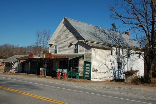
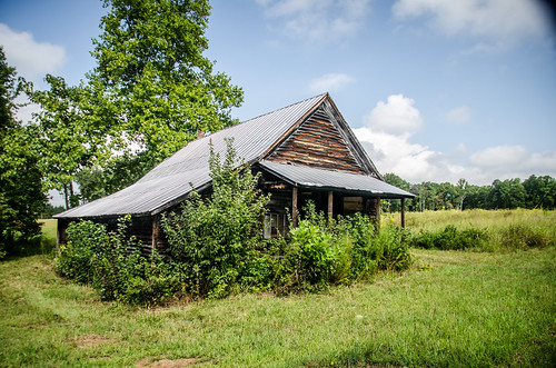
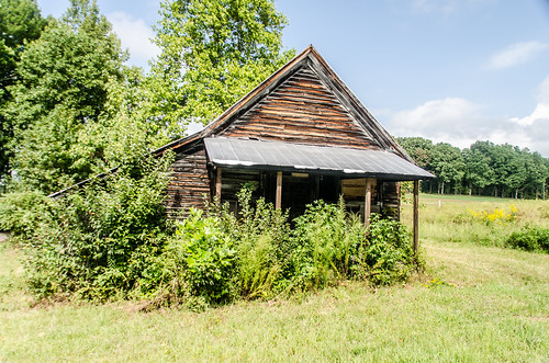
The next stop was on 414 east of Tigerville. It’s a small country store that I’ve passed and admired several times. We stopped and took a few photos.
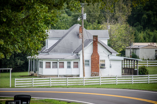
Before we got to this store I spotted a house with the same architectural details as the Burns Road house. It had the same pyramidal roof with opposing dormers and wrap-around porches.
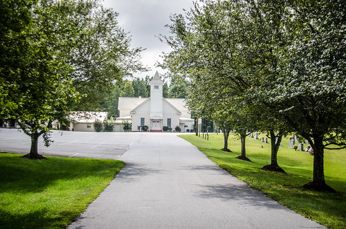
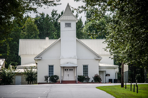
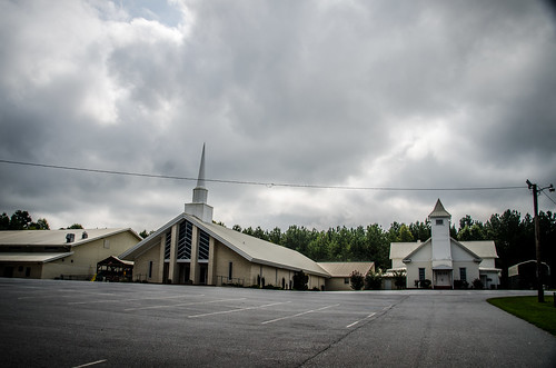
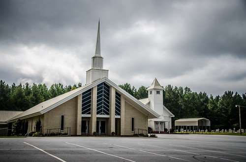
On up the road we found Highland Baptist Church. There was a modern church, but the original white frame structure was still there.
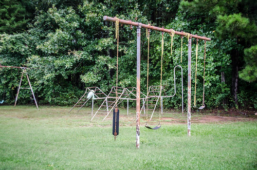
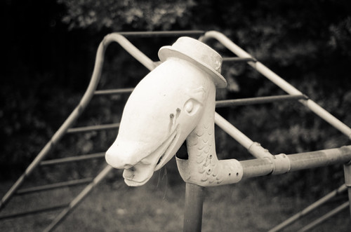
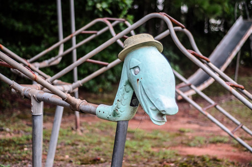
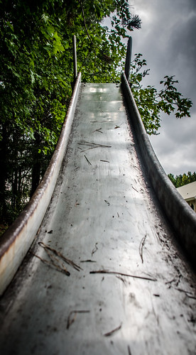
While the old church was interesting, what I found even more interesting was the very creepy old playground. There was some sort of an animal head on metal bars. It just looked…sad.
It was a shame that I didn’t have that archeology report before we went on our trip. Otherwise, I would have known that the old Highland School building was just on the other side of the cemetery from where we were.
Oh well. By this time I was developing a major headache. I stopped a couple of places for Mark to get out and takes some photos – a couple of interesting buildings and old stores – but I stayed in the car trying to recuperate.
Even so, we had a couple more stops to make. First up was lunch at The Junction in Gowansville. This was a buffet, basically with brown stuff – fried chicken, gravy, macaroni, sweet tea, etc. It was tasty, but ruinous for my diet. The food did hold my headache at bay for a bit, though.
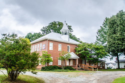
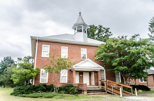
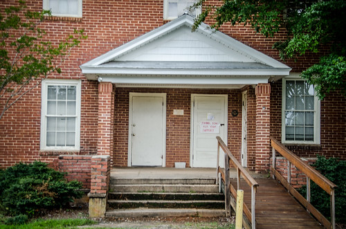
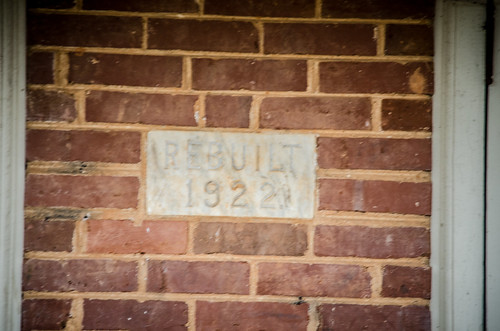
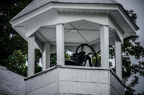
While in Gowansville we stopped by the old Gowansville School. This is one of the more unique school buildings, built in 1922. The library is a separate structure to the right of the school, and the principal’s residence is a white frame house just beyond that. The bell tower still has the bell in it. The building is now used as a community center.
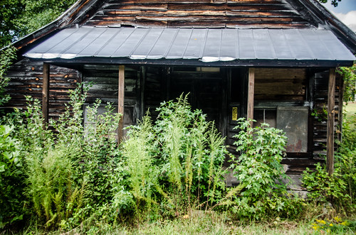
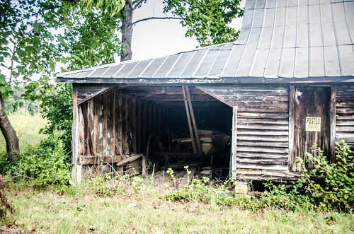
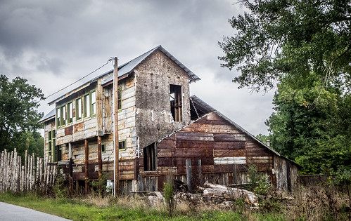
We headed down Highway 14 back toward Greer. Along the way we had one more stop to make. We found what we think was Pink Dill Mill. If not, at least it was an interesting building.
Apart from the headache, it had been a good day out and about. Mark’s find of the archeology report has given me a TON more targets for further exploration.
UPDATE: Mark has posted his write-up of the adventure here.
Thank you for your Tigerville Ramble, especially the Highland Baptist Church photos. My greatGrandparents, John B Kelley and Martha Percilla Ward (his 2nd wife) plus his sister Lizzie Amanda Kelley, are buried at Highland Baptist Church. Nearby are the graves of the Rev. Alex D Bowers and wife Mary Center. Rev Alex Bowers was a founder of Highland Baptist Church. Rev Bowers fostered John B Kelley, after the latter’s father Henry Kelley died (Dec 1857)while building Stumphouse Mountain Tunnel in Oconee County. My Grandfather considered Rev Bowers to be his Grandfather.
oops I made a mistake. Sentence should read “My greatGrandparents, John B Kelley and Martha Percilla Ward (his 2nd wife)and their daughter Lizzie Amanda Kelley, are buried at Highland Baptist Church.
Very interesting, and thanks for the info! I would have explored Highland’s cemetery a bit more if I’d not had such a headache. Now I’ll definitely need to go back.
Here is a list of the interments at Cool Springs Primitive Baptist Church Cemetery from Find A Grave. http://www.findagrave.com/cgi-bin/fg.cgi?page=cr&GSsr=1&GScid=69814&CRid=69814&pt=Cool%20Springs%20Primitive%20Baptist%20Church%20Cemetery&
I find your exploration and pictures along the Tigerville area very interesting since my ancestors were some of the original settlers in that area. Eliah Dill was married to Elizabeth Stewart; Enoch Sparks who had a daughter Desdamonia. She married Uriah Dill son of Elijah. When they left that area they moved to NW Alabama. Milray Baptist church near Greer as well as the old original Tigerville Baptist Church are part of my family history. My 4th gr grandfather was a judge ordinary in Greenville County prior to his death. If you have anything on these families or these two churches Iwould love to review it.
I recall stories from my mother that the original Highland school was beyond the cemetery but in later years it was moved across the road from the church. I attended Highland school in 1950 and the school was at the site of the current parsonage for Highland church. I don’t remember when the school was moved, someone older than me may remember that.
Beattie, I find it fascinating that you attended the school. That is very cool. I’ve still not been able to locate the school on Google Earth, and I’m not sure which house is the parsonage. Do you remember anything about the school, such as architectural features, and what it looked like?
Glad you had a good time! I’m also rather curious about the location of Highland School. I checked the 1959 USGS quad map for the Tigerville quad and no school was marked in Highland. I may have to start checking property records when I have time.