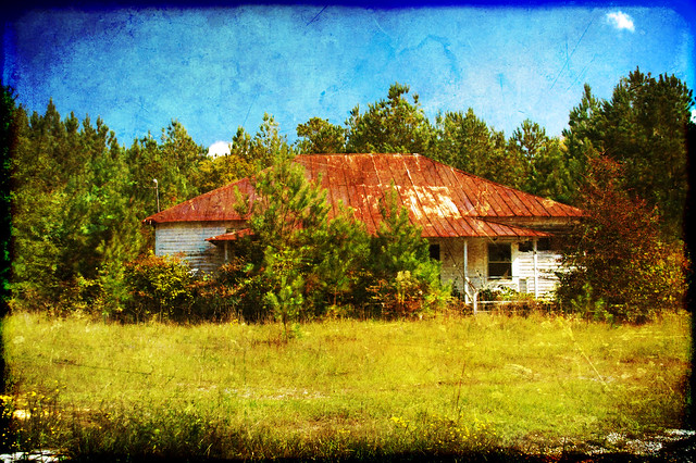
I had finally found a practical way of uploading my list of extant schools into my GPS. Rather than upload them as favorites, I was uploading them as custom POIs. The only drawback was that they didn’t show up on the map unless I specifically selected one. Oh well. It was a start.
My maps and several online sources indicated that Edgefield and Saluda counties were full of cool old schools that were still standing. Armed with this tool I set in search of a few.
My primary goal for the day had been a stop by the Pottersville Excavation Site just north of Edgefield. I had described that stop in the last post, so in this one I’ll focus on the schools.
I had met Nicole Isenbarger at the Pottersville Site and had spent some time talking with her. She was waiting for someone from DNR to arrive before she could start laying out the excavation grid. I decided to use that time to explore the surrounding area. The nearest school on my GPS was Pleasant Grove School on Highway 25, so I set off in that direction.
When I mark a school as “extant” on my map it’s because I have clear proof that the school is still there, usually from other recent photographs or websites. However, I may also mark one because it looks like there is a building there in Google Earth. Often I can verify the school from Street View, but in places where that’s not available, field checking is the only way to be sure. I have often found that a building I marked as a school because of a roof view turned out to be a house or other building constructed after the school was torn down.
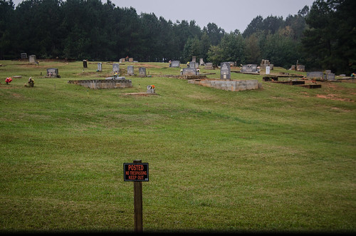
Pleasant Grove was one of those “iffy” schools. Google Earth showed the building in a wooded area off the highway, on the other side of the cemetery from Pleasant Grove Baptist Church. I drove down the side street next to the church to see if I could get a view, and found a rather uninviting sign.
Their entire cemetery was ringed with “Post – No Trespassing – Keep Out” signs. Seemed a bit rude, and I was tempted to roam the cemetery just to spite them.
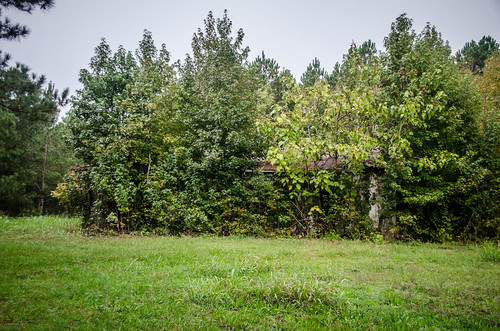
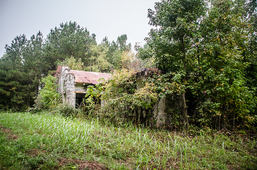
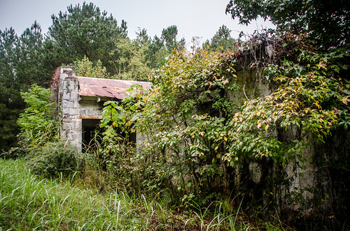
On the other side of the cemetery, the one closest to the suspected school, I found a dirt road, so I turned it. I found a granite building, but I’m still unsure as to whether or not it was the Pleasant Grove School. It was small, and the stepped facade looked more like a commercial building to me. I think the road may have been closer at one time.
Since I was already trespassing I didn’t venture further inside. I really don’t think this is the school, so I will probably take it off my list.
The next point on the list was Moores School. This was another one next to a church. In so many cases it was the people of the church that also established a school As I drove by I saw that the building I had marked was a concrete block structure that looked more utilitarian than educational. I think I’ll need to remove that one from the list, too.
The final school for this batch was also a bust. Limestone School was listed in the GNIS data as “Limestone Community House”, located further north on Highway 25. I spotted a house that might have been a one-room school, but looked more residential in nature.
The coordinates I had were for an empty field just down from that house. There were no buildings there.
Looking back at the historical imagery in Google Earth, I can clearly see the building in 2005 (and it’s not the house). In June of 2011 it’s still there, but by November of that month it’s gone. I should have checked first, rather than relying on my GPS.
I headed back to the dig site and talked to Nicole and Carrie Monday. Carrie shared with me the location of the school where Sue Logue had taught. Logue was the first woman executed in the electric chair in South Carolina. The school wasn’t far away, so I set off in that direction.
Unfortunately, I set off in the wrong direction. I drove all the way out to Meeting Street and turned down McKendree Road, which I thought was the correct one. I ramble all over that area for about 45 minutes searching for that school, driving down dirt roads and making multiple U-Turns. Nothing. I pulled out my Kindle and looked up GNIS data for nearby schools and saw one back before Meeting Street, so I headed in that direction. I still didn’t see what I was after. Checking Google Earth later I saw that the Tompkins School, listed as Tompkins Community House in GNIS, was on the other side of 430 from that last location. I should have turned left instead of right. Oh well. I’ll catch it when I revisit the Pottersville dig.
I returned to Meeting Street and noticed that I was VERY close to the town of Celestia and the grave of my great-great-grandfather Elijah Dorn. I still hadn’t found the grave, so I decided to give it one more shot. I went down lots of dirt roads and found the spot Tommy Thompson and I had seen on our last visit. I took the road that leads to a dead end just off of that area, but wasn’t able to see anything obvious. I wound up backtracking to the main road.
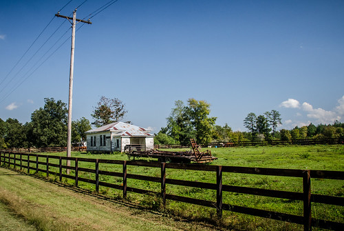
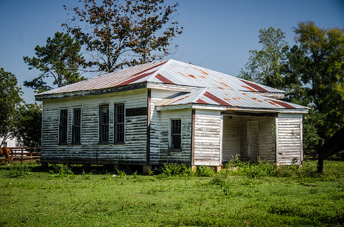
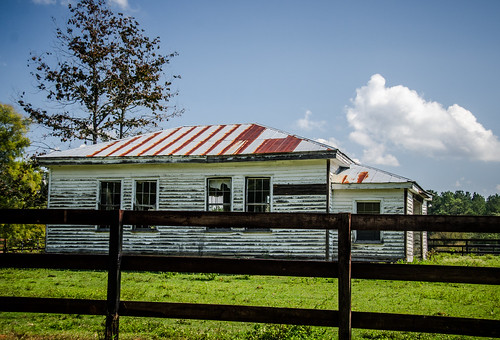
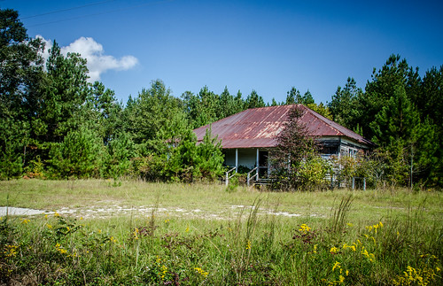
Back on the main road I turned east on 378 towards Saluda. About halfway between Meeting Street and Owdoms I spotted a mystery school right on the highway. It was sitting in the middle of a pasture.
The school isn’t in GNIS, so I don’t know which one it might be. The building was in great condition. I began to suspect that it had been moved to this location. The most obvious candidate was Willow Springs, which had been located a couple of miles to the west just beyond Meeting Street. I’ve labeled the school as “Willow Springs” on the photos, even though that might not be it.
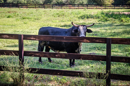
I was tempted to jump the fence and use my GoPro to get some interior shots. However, they had an excellent deterrent to trespassing.
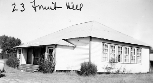
The next stop was Fruit Hill School. It was south of 387 and right where I expected it to be.
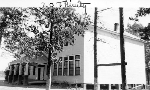
Here’s what the school looked like in the Insurance Photographs:
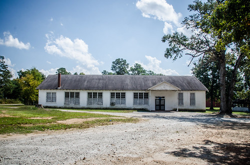
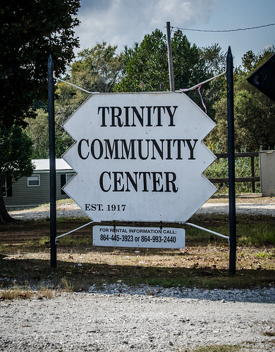
I followed Fruit Hill Road north, crossing 378. The next school was at the intersection of Highway 178 and Fruit Hill Road. Trinity School was a much larger school, and was well-preserved as a community center.
The sign says that this was established in 1917, but there’s just one problem. While this building does look like a school, it doesn’t look anything like the insurance photo for Trinity School.
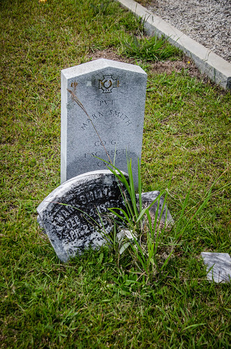
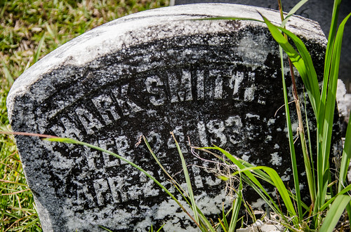
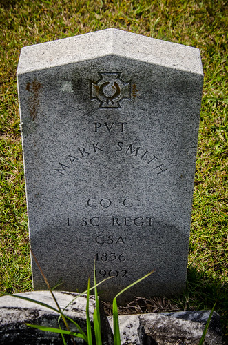
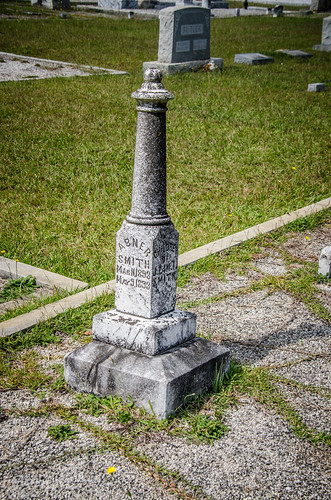
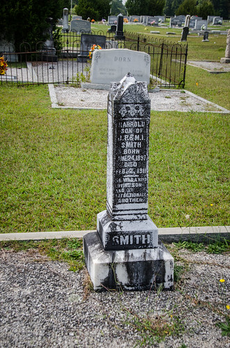
The next stop was non-school related. On 178 I passed Good Hope Baptist Church. I pulled into the parking lot to take a quick look at the cemetery. Right near the front of the church is the grave of Mark Smith, my great-great-grandfather. There was a broken headstone marking the grave, and a later addition recognizing him as private in the Confederate Army.
There were other Smiths in the area. I didn’t check to see, but I bet they are relatives.
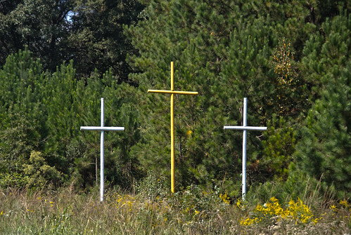
I continued on down 178 toward Saluda. At the intersection with Old Chappell Ferry Road I looked back and spotted a set of Coffindaffer Crosses.
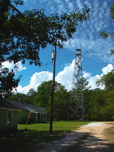
Just beyond that was another one of my obsessions – a fire tower.
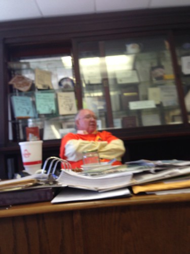
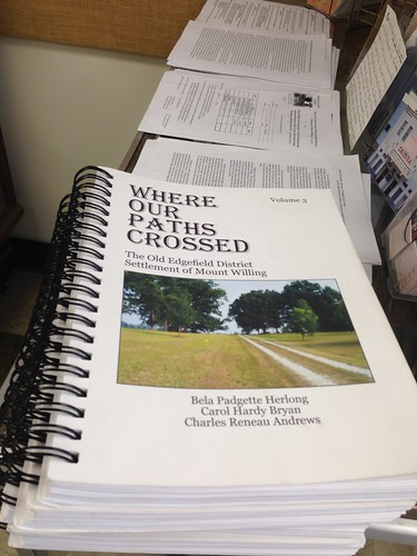
I drove into town and stopped at the Saluda Museum. It was open, so I dropped in. Roy Vandegrift was tending the store. He had a good bit of information about the ghost town of Mount Willing. In fact, there were three volumes worth.
On the subject of the town of Celestia he wasn’t as forthcoming. In fact, he had never heard of it. It was new to him, and he was delighted that he had a new mystery to solve.
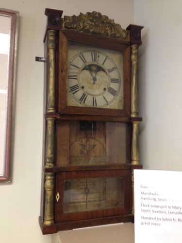
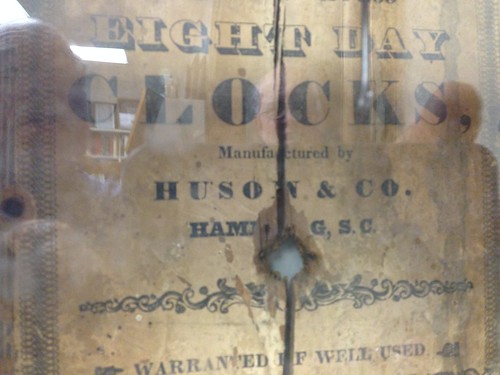
Roy took me on a tour brief tour of the museum. There was an artifact from another one of my ghost towns, Hamburg. This was a clock made in the town, complete with a label with point of origin.
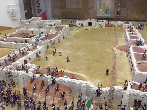
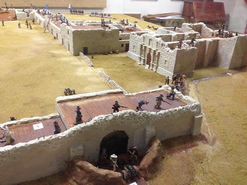
Two of the leaders at the Alamo were from Saluda, and there was a massive diorama of the battle of the Alamo.
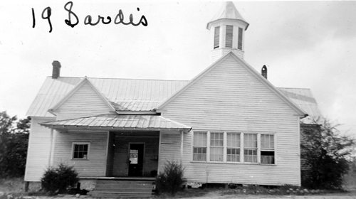
I still had a couple more schools I wanted to find. First up was Sardis School, one of the ones I really wanted to see. This one was just out beyond the Mount Willing community. As I approached I could see the tower of the school. This is what it looked like in its prime:
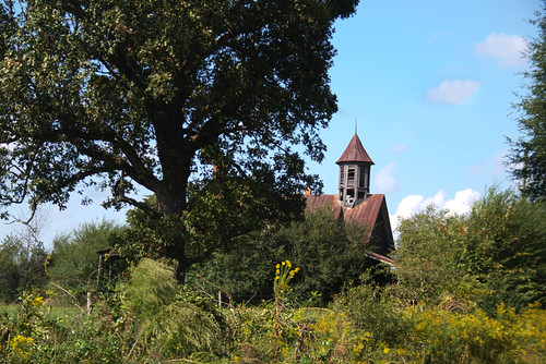
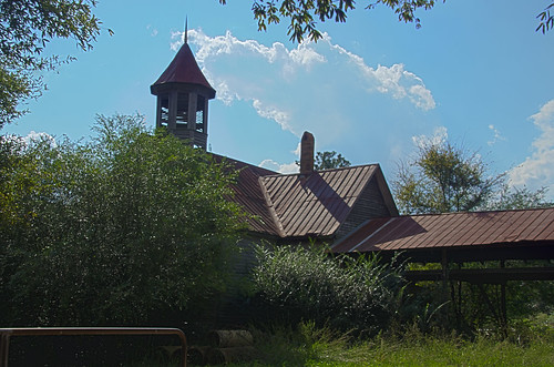
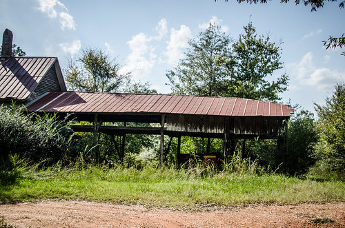
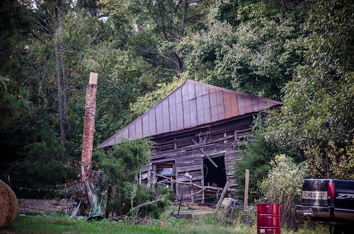
Unfortunately, it was not in that good of a state when I found it. It was being used as a barn. A shed had been added to the right side of building to house farming implements.
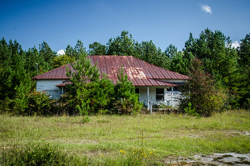
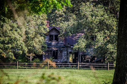
The old home across the road was just as intriguing as the school. Although run down and abandoned to a pasture, it looked like it had lots of interesting architectural details.
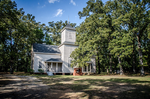
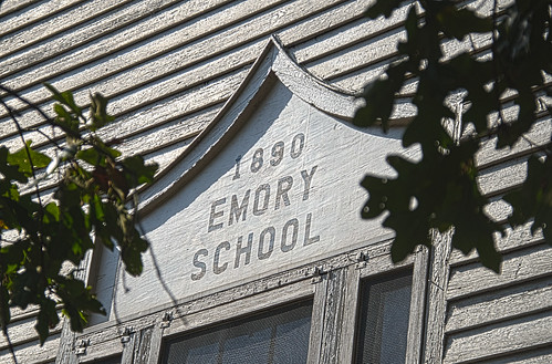
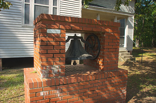
The next school was in much better shape. Emory School was south of 178, across from Emory Methodist Church. The school has a stunning bell tower, and now serves as a community center. A sign indicates that the school was built in 1890. I walked around the grounds taking tons of photos from different angles. I just wish I had been able to get inside.
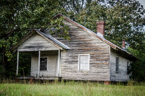
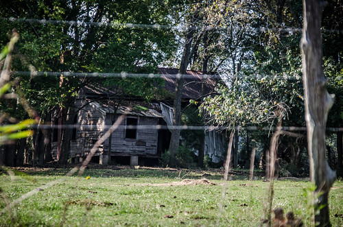
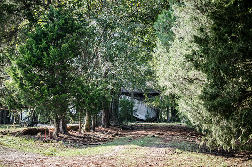
On the way to Emory School from 178 I passed by another old school out in a field. This didn’t show up in the GNIS data. It’s hard to imagine that it would have been built earlier than 1890, given its design, but it might have been a feeder school, or supplemental school to the Emory School. In an age of segregation, it could have been the black school for the community. It was in a much worse condition. The right side of it had collapsed.
Not far from Emory I had Cane Brake School marked. I drove over there. The building I had identified in Google Earth might have been a small school, but it looked more like a house. There was a family business and lots of activity nearby, so I didn’t explore or intrude. I didn’t get a decent photo, either.
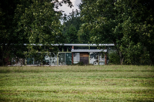
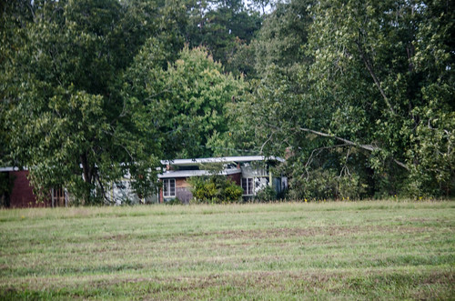
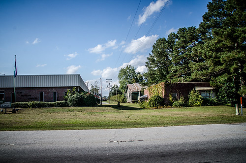
I figured I had time for one more school wild goose chase. I punched up Suddath School and headed to the west side of Saluda. The school was located to the southwest of town on Pen Creek Road. However, I spotted a couple of school-like buildings along the way which I had not identified on a map. One looked like an old Equalization school, and was now serving as a private residence.
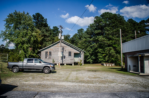
The other looked more like an old school, both from the road and when I looked at the roofline in Google Earth.
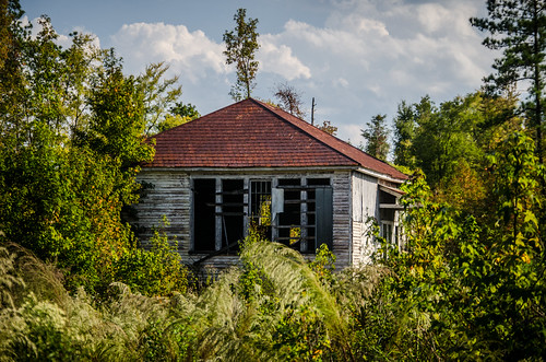
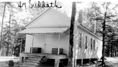
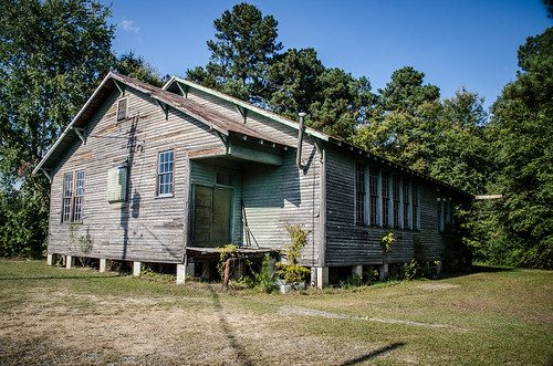
Suddath School was in terrible shape – leaning to one side and on the verge of collapse. It was behind a residence, so I didn’t venture further.
Once again, the building that I found on site looks nothing like the insurance photo, so I’m still not sure this is the school.
It was time to head home. I punched up the coordinates for home in my GPS, and it routed me through Newberry County. I was tempted to stop at several locations, but kept going. One quick glance did make me stop just outside of Newberry near Silverstreet. I looked, and between two businesses, sort of back behind them, I spotted a three teacher Rosenwald School.
I pulled into the parking lot to confirm.
I didn’t have this one on my list in the GPS, but I according to my sources this is the old Elisha Rosenwald School.
So, it was a successful day out and about. I had several confirmed old school sightings, some that had different buildings than the insurance photos indicated, some I didn’t have on my maps, and some that were no longer there. It was an excellent day’s ramble.
I found all this very interesting as I too have paternal roots from Pottersville, Saluda, Sardis & Emory. Many of my ancestors attended “field schools” or were privately tutored. My grandmother attended Emory School with her siblings. My great-grandmother built one of the first schools in Saluda after the town was formed in 1896…
I do want to point out that the photo of the home on your blog on Penn Creek Road was built by my grandfather in the early 1950’s. It was .designed by a Greenwood, S.C. architect as a “solar-passive” home.
I grew up in the Sardis community and I have many ancestors who attended Sardis school. I have an old photo of my grandfather as a young student at the Sardis school in 1902. If you’re ever back in the area and want to get inside the Emory school, just contact Ralph Shealy, the editor-in-chief of the Saluda Standard-Sentinel. He’s a long-time member and choir director at Emory Methodist Church, and I’m sure he can get you inside.
The old Tompkins is still standing off of Meeting Street. I have been to it a few times. My cousin attended it and he talks about it.