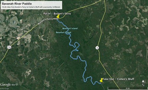
We missed our traditional Second Saturday trek with Lowcountry Unfiltered. Laura and I were still in Florida, and Matt was tied up with moving. Several others of our group also had conflicts, so we decided to postpone the trip to the third Saturday. For this trip, we decided to tackle a wild and remote section of the Savannah River. We would be putting in at Burton’s Ferry Landing and paddling 15 miles downriver to Cohen’s Bluff.
Three of us would be making the trip from the Upstate. Alan and Larry rendezvoused with me in Clinton, and we made our traditional stop at Bill and Fran’s in Newberry for breakfast. From there we drove on down to Columbia and got off the interstate, taking highway 321 across country. In Swansea we picked up highway 3, and our route took us through the communities of Blackville and Barnwell. It was difficult to resist the urge to stop at all of the historic churches and buildings we saw along the way.
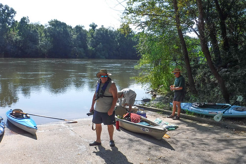
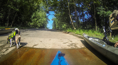
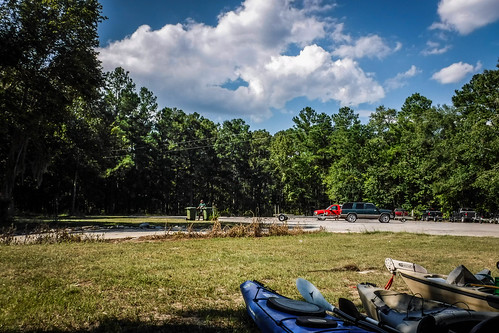
At the take out Matt and John had driven up from Bluffton, and Jerry had come over from Orangeburg. Six of us would be making this trip. We left vehicles at the take out and drove on up to Burton’s Ferry.
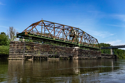
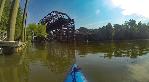
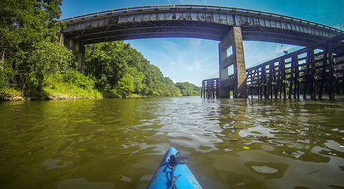
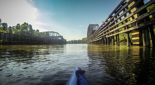
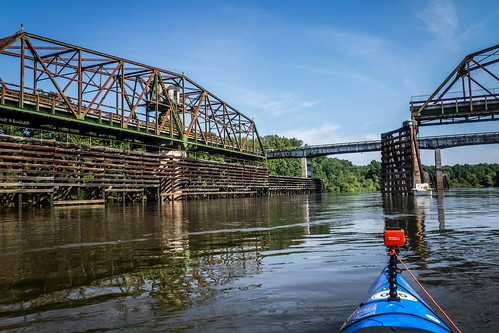
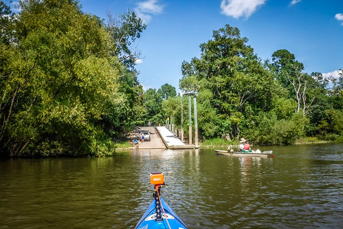
Burton’s Ferry is an interesting location. The most striking feature is a rotating bridge that used to carry highway traffic. The bridge was built in 1938, back when barge and ship traffic still came up from Savannah to Augusta. The bridge could be rotated to allow taller boats to pass.
In 1965 a new bridge was built for Highway 301. The old one was left in the open position. Now a one mile walking trail follows the old roadbed. Larry, being the geocacher extraordinaire that he is, noted several geocaches along that route.
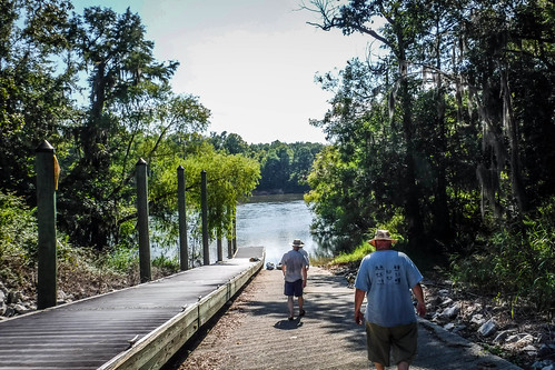
Prior to automotive traffic, the eponymous ferry was in operation. Our landing was on the Georgia side, and a historical marker gave its history. Robert Dunn established the ferry in 1765, then sold it to Thomas Burton in 1772.
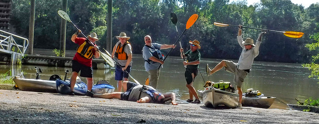
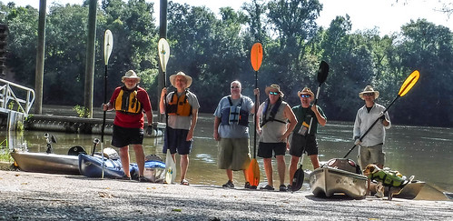
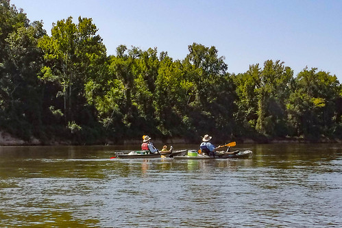
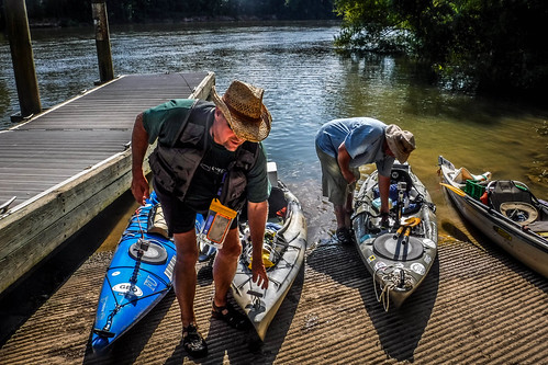
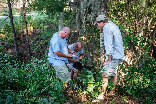
We unloaded the boats, paused for our group photos, then headed out. First we paddled upstream a bit and checked out the bridge.
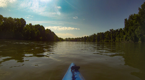
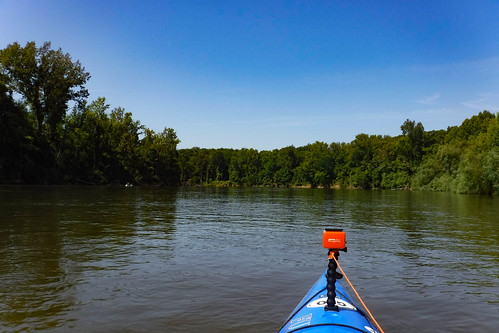
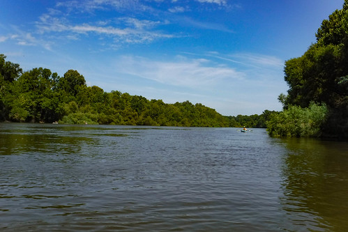
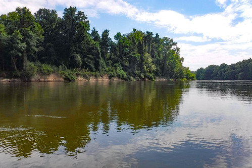
The river is wide at this point with good current. My GPS indicated that we were floating along at 2.5 MPH without paddling. A little more paddling and we were cruising along at a decent rate. Even so, we had a long way to go, so we didn’t have much time for side trips or rope swings.
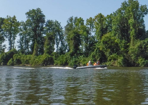
The area was extremely remote. There weren’t any houses or buildings along the way. However, there was considerable boat traffic. Most of these were fishing boats, but it looked like there were some hunters in the group.
The miles went by quickly. We saw lots of interesting birds along the way. A pair of bald eagles flew overhead. We also saw lots of swallow-tail kites.
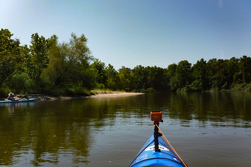
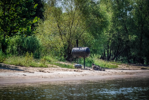
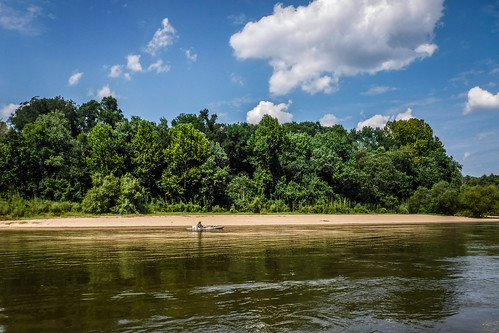
There was one perfect sandbar that would have been great for a lunch stop. There was even a grill that had been affixed to concrete in the sandbar. However, another family had set up shop, and we didn’t want to disturb them.
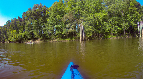
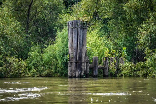
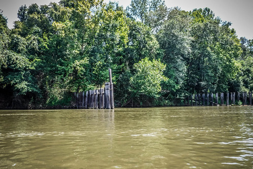
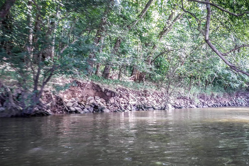
Google Earth shows lots of oxbow lakes along this route. There should be lots more side routes, but we couldn’t find many ways into these side lakes. There’s a good reason for that. The Savannah was an important transportation route until the Civil War. However, it faded in importance as railroads took over. Even so, the Army Corps of Engineers maintained the waterway until 1978. There are still remnants of flood control buffers and rip rap lining the river.
I had tagged several locations in my GPS that might be of interest along the way. Most of these locations were from the GNIS data, and bore names like King Creek Landing, Red Bluff Landing, and Black’s Landing. These were in the category “Populated Place” in GNIS. Yet, when we paddled past there seemed to be no trace of these locations. Matt commented that our modern day trip is probably much more isolated and remote than it would have been several generations ago.
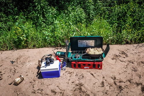
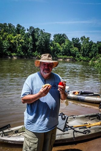
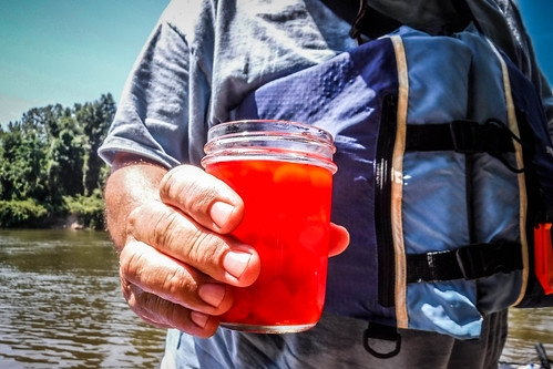
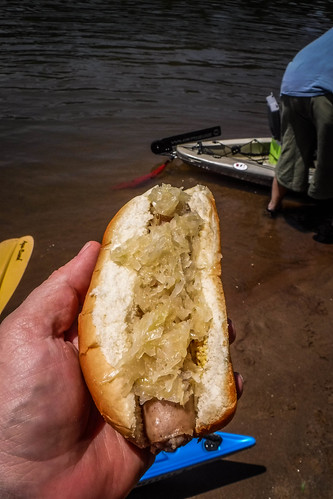
Eventually we did find a nice sandbar and set up shop. We had our typical meal of brats and sauerkraut, expertly cooked by Matt. This time Larry brought along some cherry moonshine as an accompaniment.
We lingered a bit. A couple of the guys waded on out into the water, but we didn’t stay as long as we might on an Edisto sandbar. In the back of our minds we still had a long way to go. We also got a bit of reality handed to us. While we were at lunch a large boat pulled up with “Sheriff” on the side. They asked how we were doing, but didn’t give us much encouragement about our destination. They said we still had a LONG way to paddle. But, they said for us to call them if we ran into trouble. It was kind of nice to know that they were out there, and that they knew we were out there.
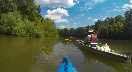
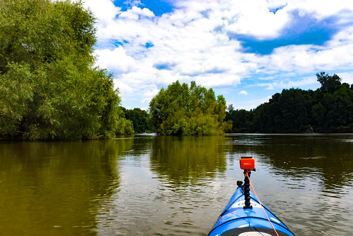
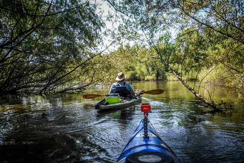
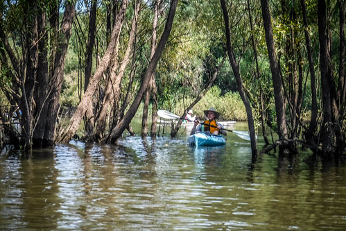
We continued on our trek. We would paddle for awhile, then float for awhile. My GPS said we still had 4.83 miles to go, but that was as the crow flies. There were some deep bends in the river. Fortunately the current kept us going. Even with the crunch of time and distance, we found a couple of hidden coves to explore.
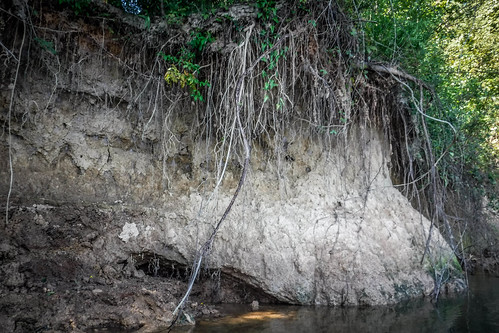
The banks alternated between higher bluffs on one side and lower vegetation on the other, then they would switch on upper end of the bend.
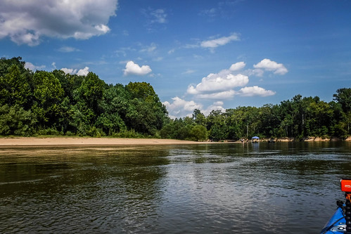
One more deep bend in the river and we encountered another spectacular sandbar. This one looks like it would accommodate quite the party. It’s not that far from the take-out, and folks had put in at Cohen’s Bluff and brought their motor boat upriver to enjoy the location. They had a canopy set up for their picnic.
Before we knew it we were at the take out. We actually pulled out just a little after 4:00. I was expecting it to be much later, given the length of the trip. We pulled the boats out and sent drivers on their way to retrieve vehicles. I was impressed at how well maintained this landing was.
When the drivers returned with the rest of the vehicles we had one more task. There was a geocache at the landing, and Larry was determined to find it. Find it, we did. It was also Jerry’s first geocache, and now I think he’s hooked.
According to the GPS, our total trip was 16.26 miles. Our actual trip is always a bit longer than the projected trip because we explore side channels, etc.
And yet, the day wasn’t over. Alan headed southward toward his in-laws’ farm, and Larry and I had a long ride back. We hadn’t forgotten some of the cool things we had spotted on the drive down. We knew we couldn’t hit all of them, but we wanted to check out a couple.
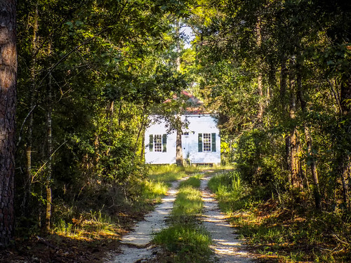
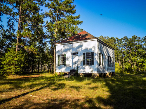
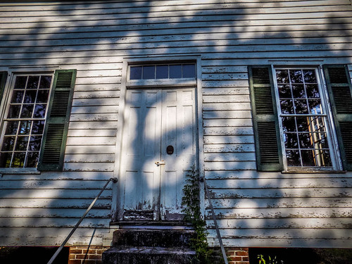
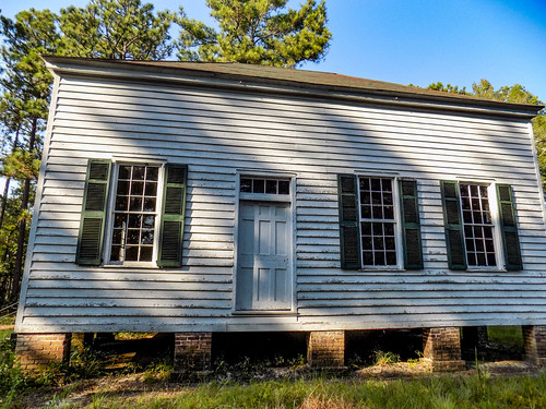
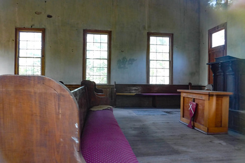
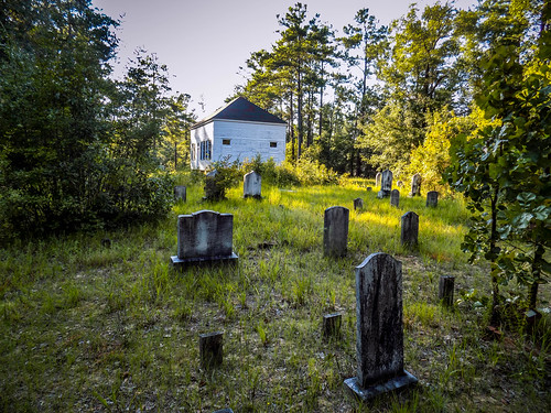
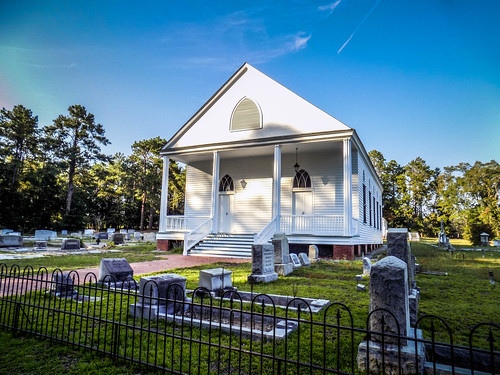
First up was Antioch Christian Church. We had spotted a historical marker just a few miles up from Cohen’s Bluff. The church itself was down a dirt lane, set back off of the road. It was a simple, meeting-style church with a front and side entrance.
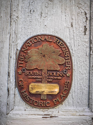
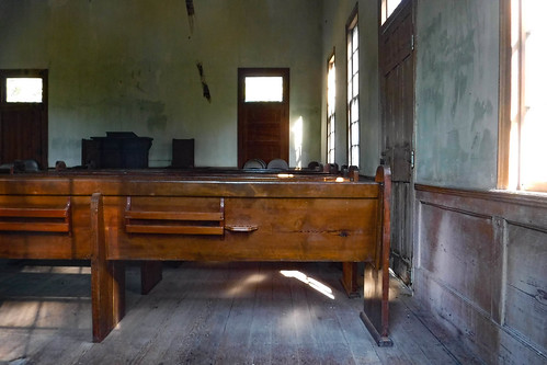
The church is on the National Register of Historic Places, and there was a marker on the front door. The door itself was locked, but I managed to get a couple of shots of the interior through a window. I really wish I had my GoPro with the selfie stick.
The church was built about 1835, and was finally closed in 1938, serving for over 100 years.
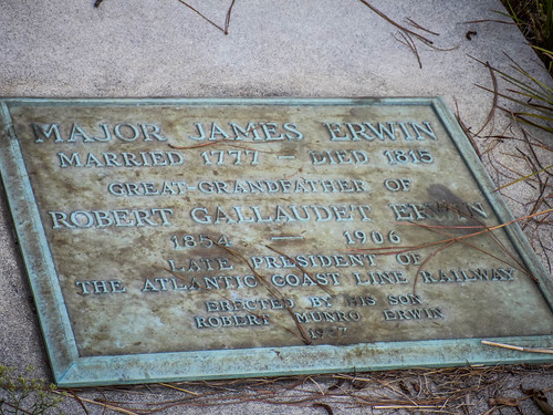
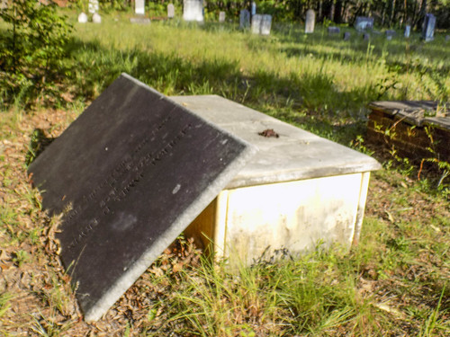
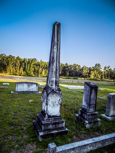
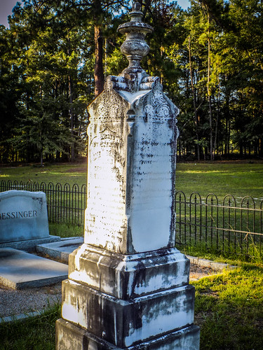
There was a small cemetery in the back. I didn’t find any signature stones, but there were several elaborate ones. Most impressive were the stones for the Erwin family, most prominent members of the nearby Erwinton community. The cemetery itself was generally overgrown.
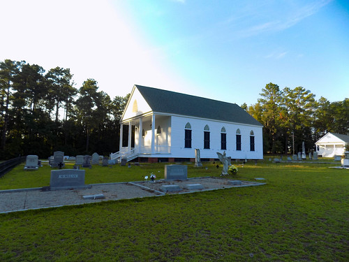
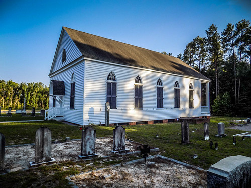
We drove on back to highway 301 and turned east. We didn’t take the same route because we were in search of BBQ and following Larry’s GPS. Along the way we came upon another interesting church. Mizpah Church outside of Olar in the Buford Bridge community.
The church is a simple Greek Revival styled building constructed in 1856. Like Antioch, the building is on the National Register.
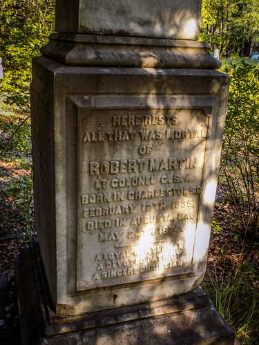
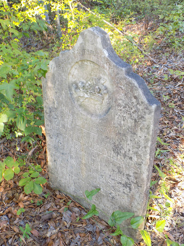
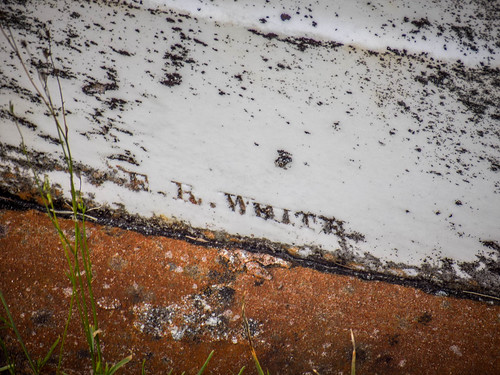
The cemetery surrounds the church. It looked like there were some later burials than at Antioch. I only found one signature stone, with the name E. R. White, a new one for me.
We continued on our way. One thing that we both noticed was the number of defunct motels along this highway. Once 301 was the major route from points north to Florida. I-95 eliminated that traffic. Larry and I both thought it would be a great idea to do a photo essay of these old motels.
We found BBQ at Dukes in Bamberg, then headed on back home. It had been a long day, but and excellent one on a new stretch of river.

Great trip! I’ve been to Burton’s Ferry and the abandoned bridge is fascinating.
You are correct about 301 once being one of the major routes to Florida. It shriveled up after I-95 was built. If you drive it all the way from the GA state line to the NC/SC state line you may find more abandoned motels. Now that would be an interesting photo essay, and please share them, here and on the “Abandoned, Old and Interesting Places in South Carolina” facebook page…
Beautiful work, as usual, Tom. I regularly look forward to your publications here….
Ebay is a good source of advertisement postcards of old hotels and restaurants along US 301 (and elsewhere). It is possible to capture the auction image and using Google Streetview create a before and after photo essay of abandon relics of US 301 prior to I-95.
Great suggestion. I had forgotten about those. I had checked the SC Memory website, but my initial browsing didn’t turn up much. There may also be some materials on Archive.org or Library of Congress.