I love ghost towns. I love seeing a place and imagining what must have been there, the lives lived, and activity of commerce that must have taken place. But even living cities have their ghosts. Some of these are obvious – abandoned buildings, forgotten cemeteries, old rail beds, and stairs that seemingly lead nowhere.
Some of these have been reclaimed and incorporated into parks and trails, commemorating their history. The Swamp Rabbit Trail system and Falls Park have done a great job of preserving and highlighting these elements.
Others are not as obvious. They are either tucked back off of the road on private property or overgrown with vegetation.
I’ve recently come across three such places in Greenville. These are places you would drive or walk by without giving a thought, but for me they are intriguing. What was there? Why was it built? What caused it to be abandoned? These questions nagged me and I had to know more.
Edwards Road Bridge
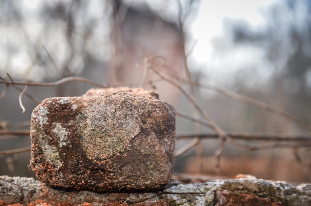
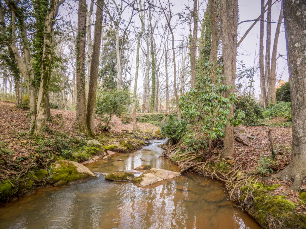
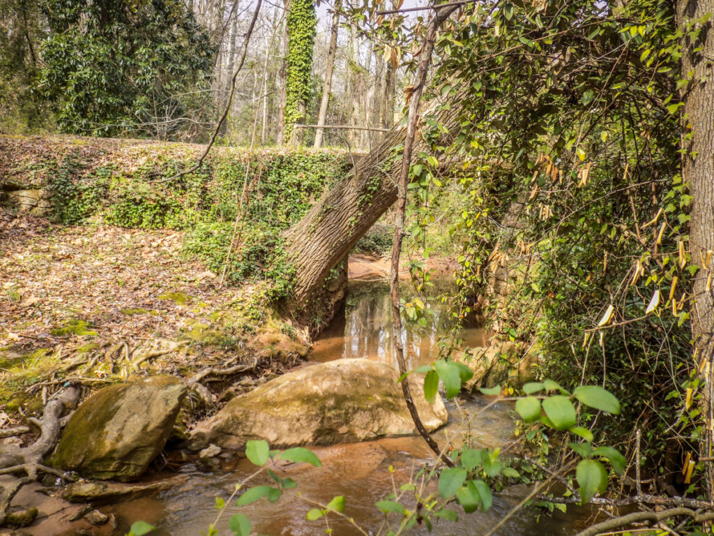
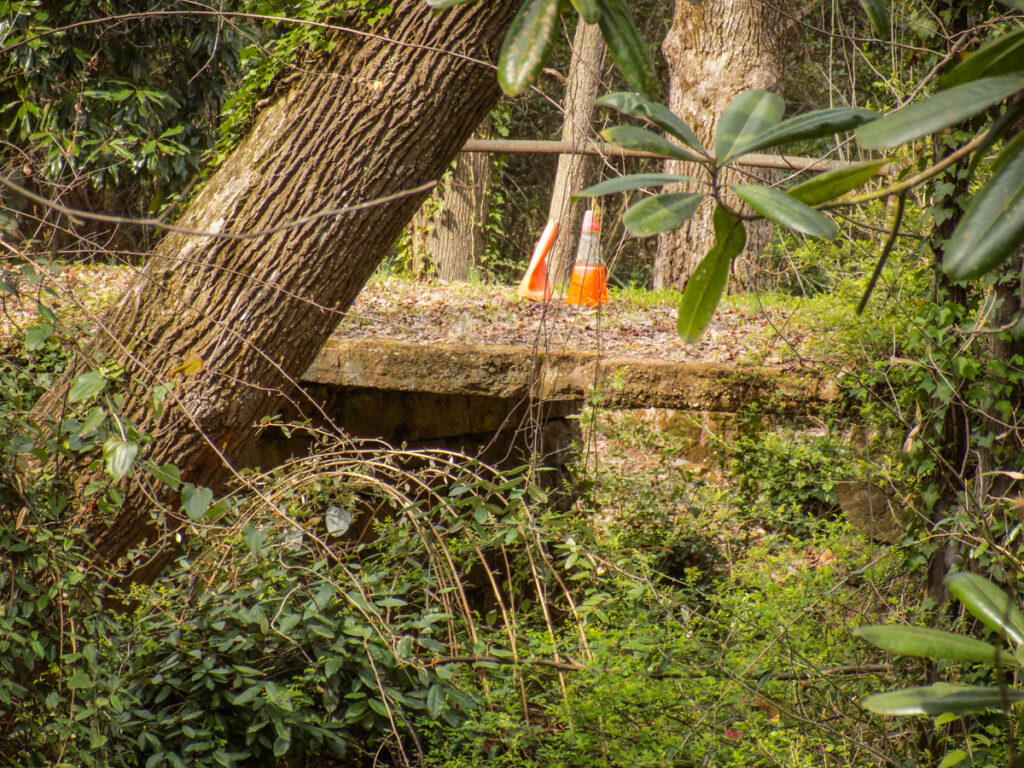
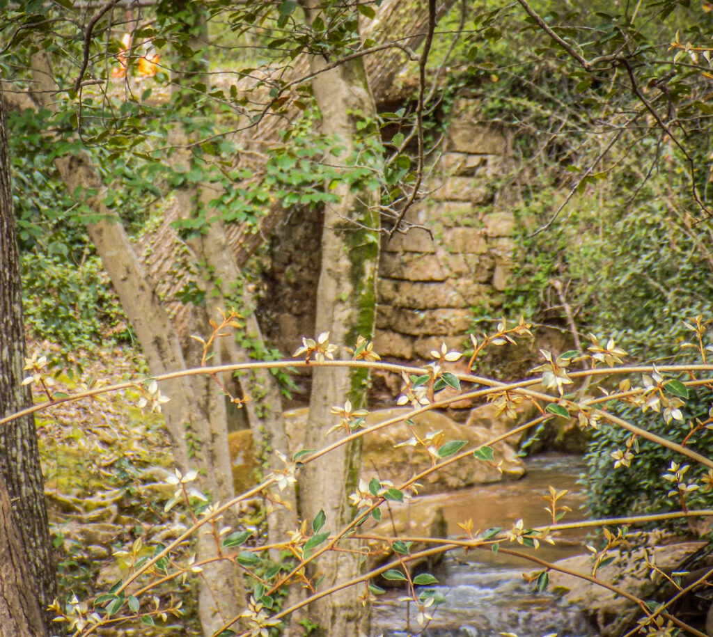
On Edwards Road not far from its intersection with Pleasantburg Drive the road crosses Brushy Creek. Next to the creek is an unassuming brick ranch house with a lovely yard. In the back yard there is a simple bridge with some elaborate stonework and a little picnic area on the other side. I pass this spot any time I’m heading toward town, and I began to suspect that it’s more than just a yard feature.
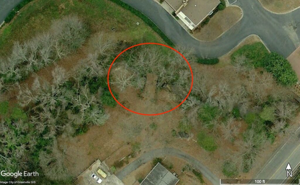
Here’s a view of the bridge in Google Earth.
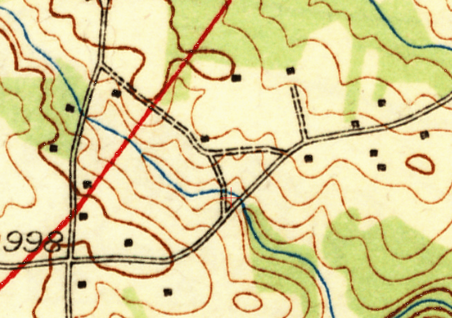
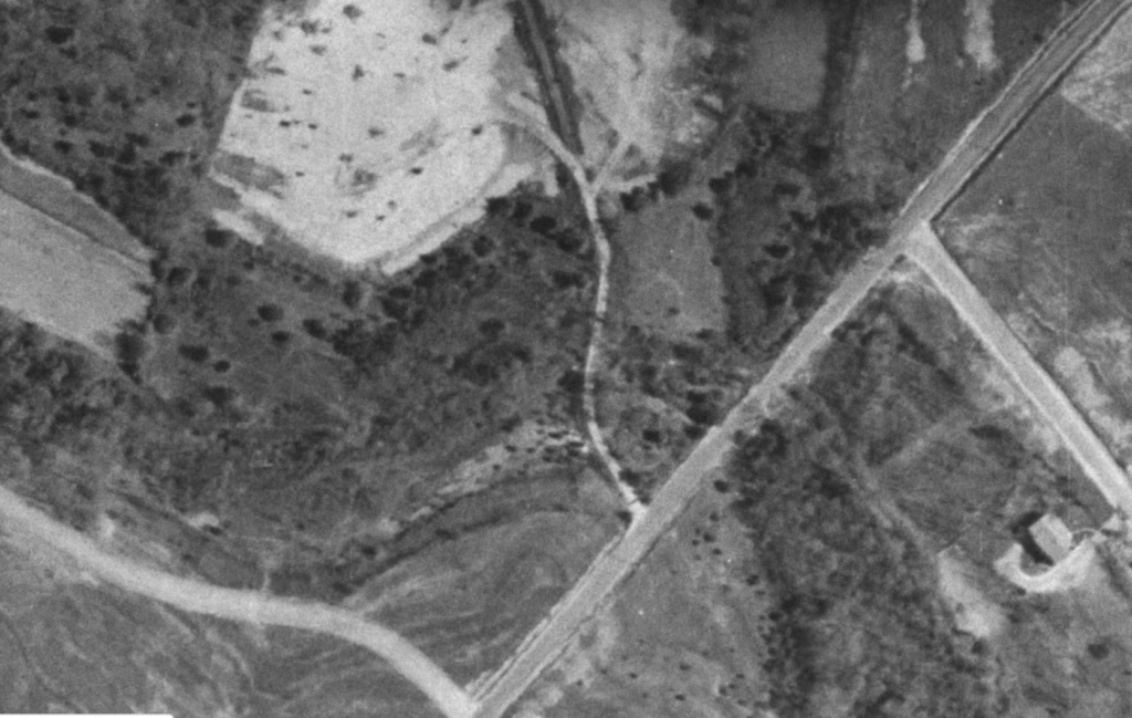
The bridge appears to go nowhere, but once it was part of a dirt road that ran through farmland, connecting Edwards Road to Pine Knoll Road. This USGS topographic map from 1938 shows the road connecting with another dirt road, then crossing the newly built US 29, in red. The bridge in question would be the one crossing the creek about where the red + sign is on this map.
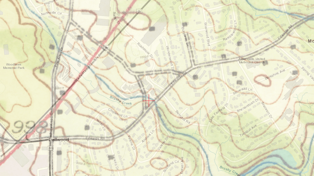
A blending of this map with the present-day roads may give a better perspective.
By 1955 the road from Pine Knoll had been paved, but the road crossing our bridge and connecting to Edwards Road was still dirt.
Here’s a wider view. Even in 1955 there were very few houses and not much development in this area. There is a motel about where the current Walmart is. Wade Hampton High School and the shopping center with the old K-Mart are missing.
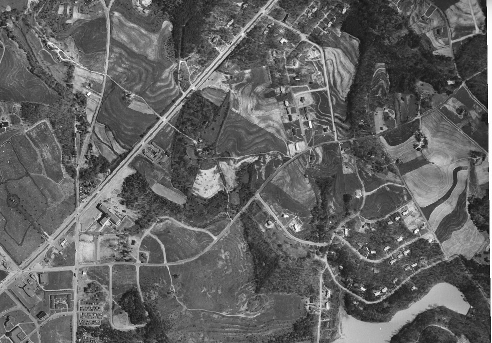
By 1965 Rushmore Drive had replaced the dirt roads as the connector between Wade Hampton and Edwards Road. The old road would have run across the current parking lots for Walmart and Lidl and come out on Pine Knoll next to the high school. Now all vestiges of that road are gone except for this one bridge.
Washington Park Coal Chutes

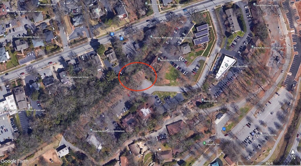
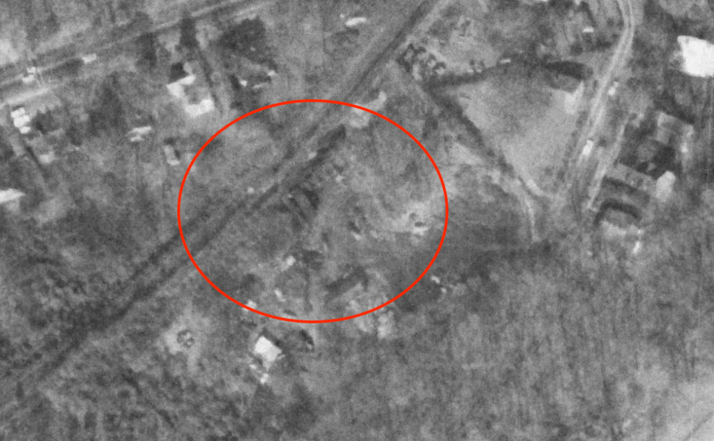
Adjacent to the parking lot of the Craig Caulden Davis architectural firm and right next to Batson Accounting there is an unusual concrete structure. It looks a bit like a dam, but it never held water. The structure is between Washington Street and the Greenville Zoo, as seen in this Google Earth image.
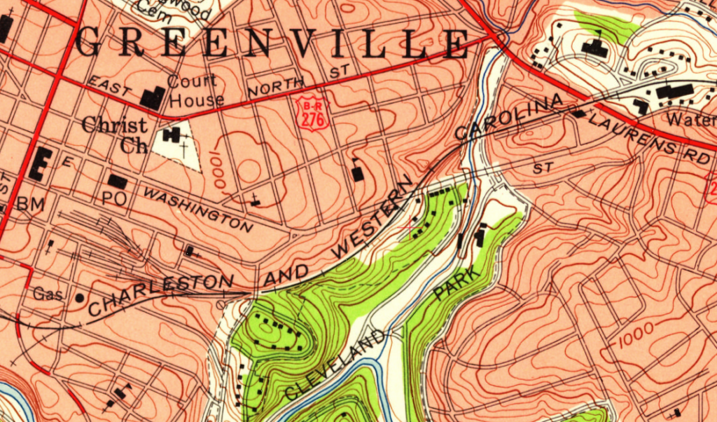
The Charleston and Western Carolina Railroad ran once through this area, right across the current concrete structure. This 1957 USGS topographic map shows the route of the old railroad, later known as the Atlantic Coast Line Railroad and finally as the Seaboard Coastline.
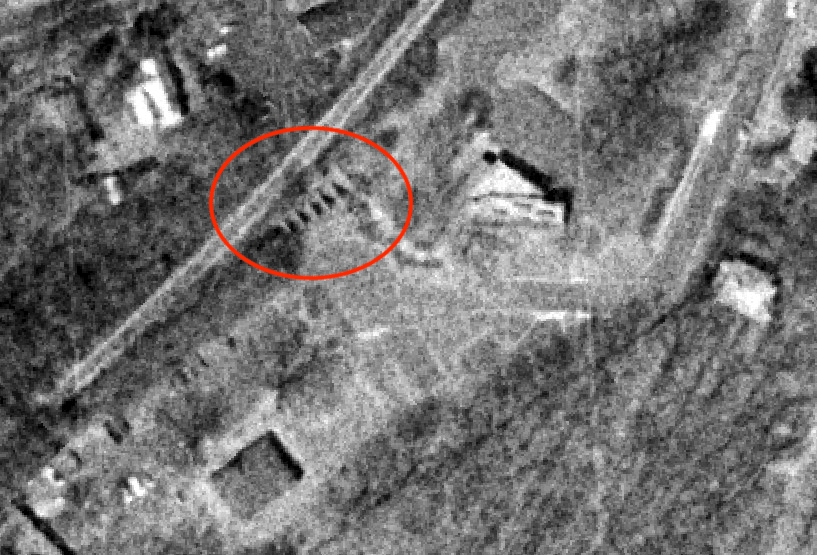
In the 1950s the Spot Cash Fuel Company, also known as the Spot Cash Coal Company, operated a coal yard at this location. Railroad cars carrying coal would stop on top of the chute and dump their loads down the chutes into wooden bins. Trucks would then back up to the bins and load up for local delivery. Here’s an overhead view of the area from 1965. This isn’t very clear and the chutes aren’t as visible. It almost looks like they are covered by some sort of a structure.
The next latest image I could get from Greenville County GIS is from 1979 and it shows the coal company no longer there and the chutes exposed. There is a new cul-du-sac and development is starting.
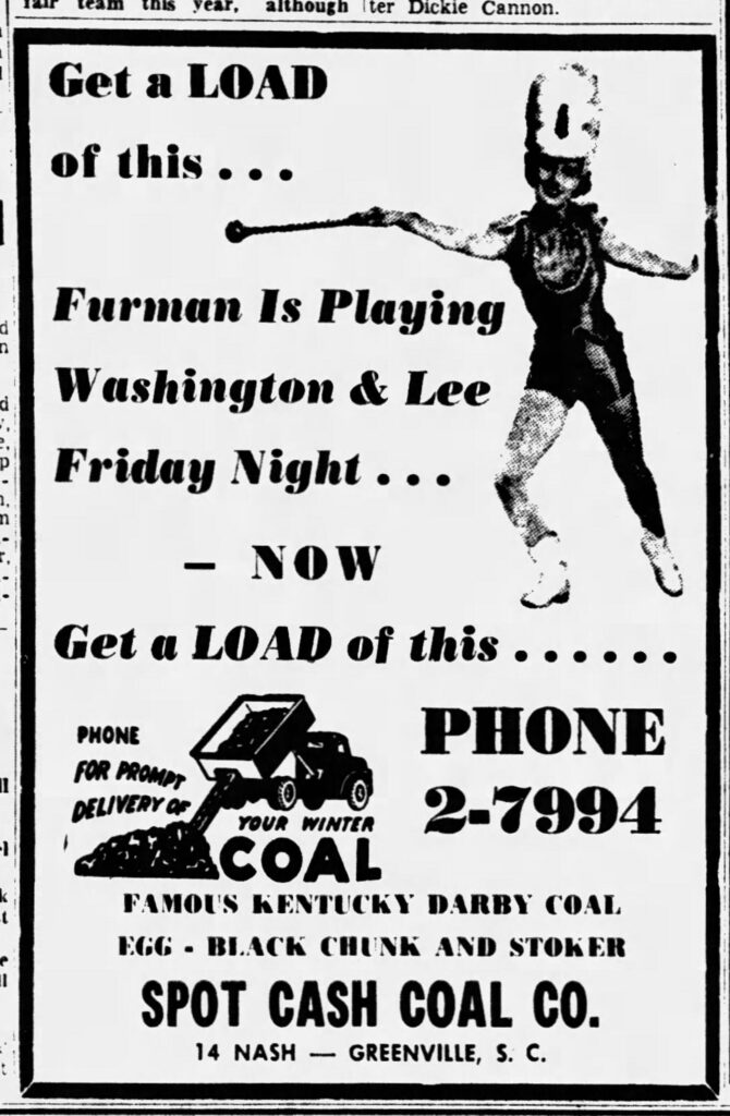
In the 1950s the Spot Cash Fuel company advertised in the local papers. It appears that they were also big Furman supporters.
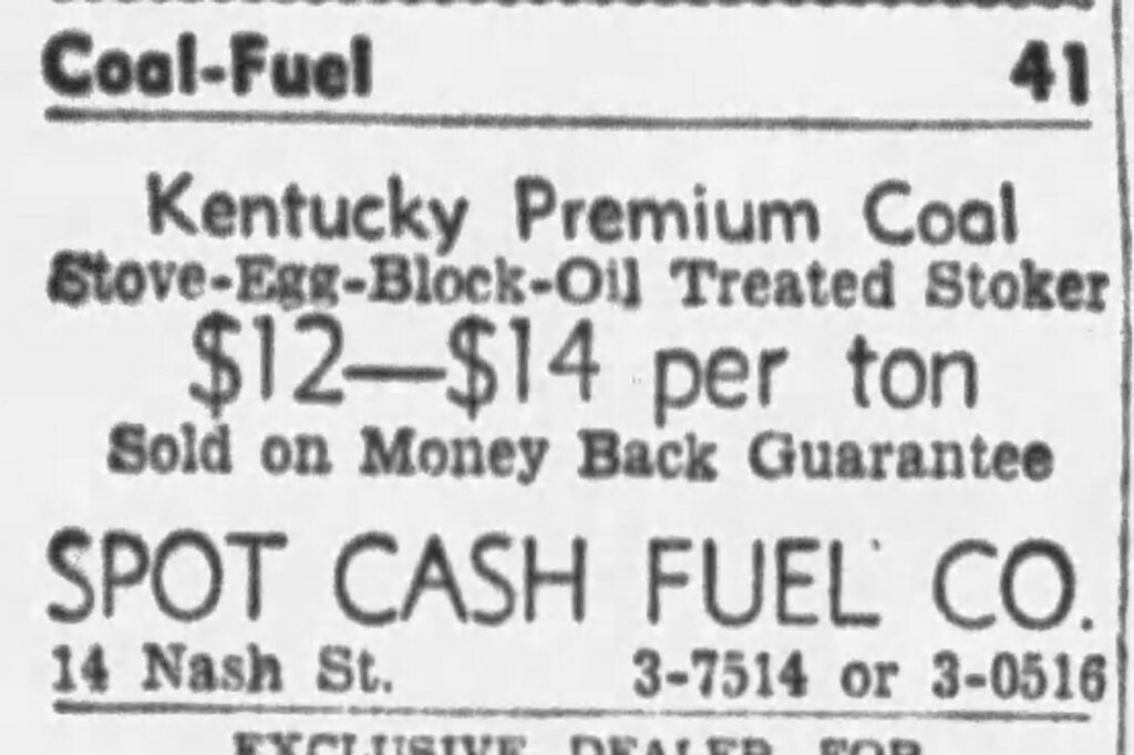
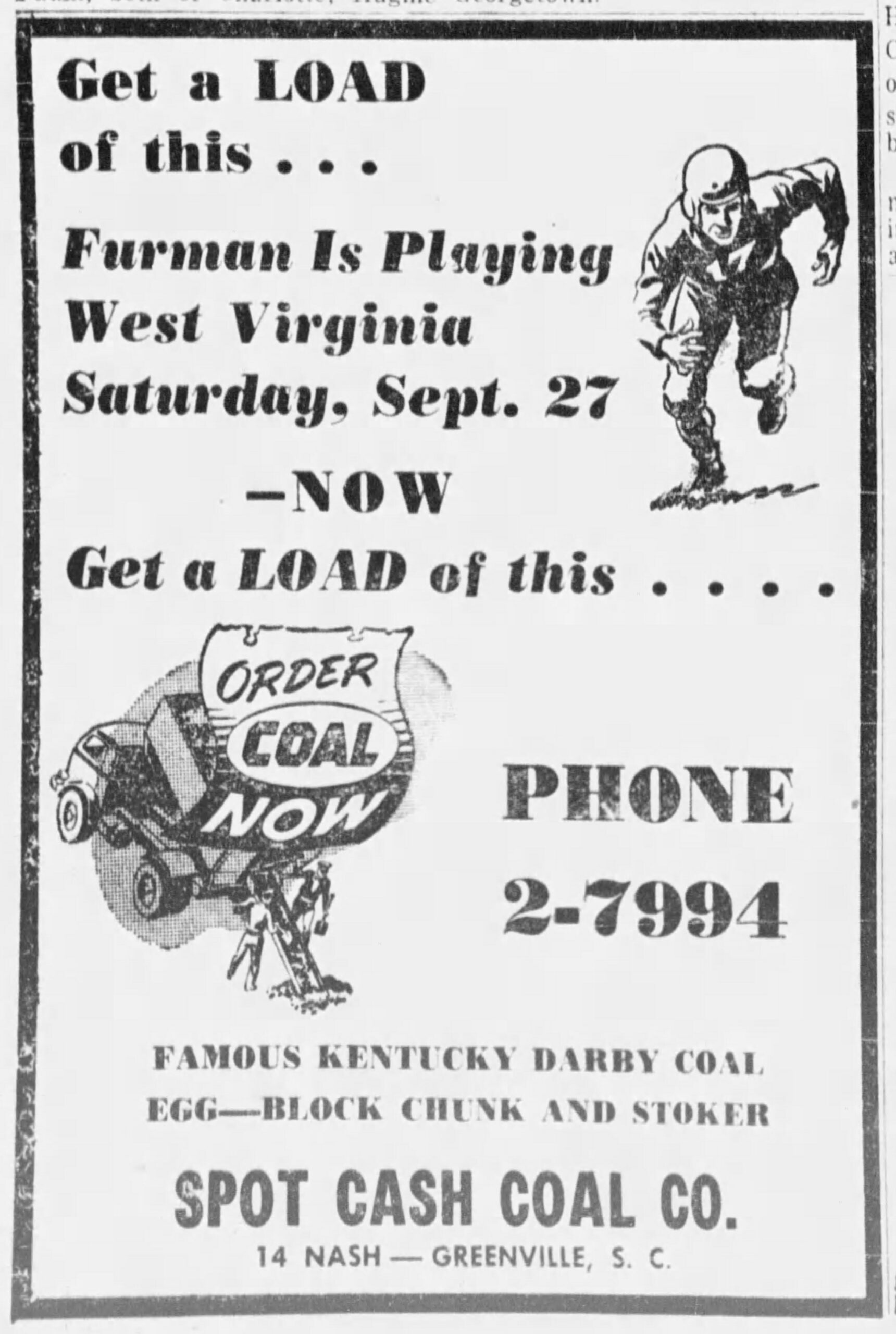
The address for the coal company was on Nash Street. This was later renamed to Washington Park.
In the 1970s Craig Caulden Davis was looking for land for a new office. In a 1992 Greenville News article founding partner Kirk Craig said that they bought “about the worst land we could find, a combination of a junkyard and old cemetery owned by the Spot Cash Coal Company.”
This raises even more questions. What cemetery?? Were the graves moved? While the mystery of the concrete chutes was easy to solve, the mystery of the cemetery is even more intriguing.
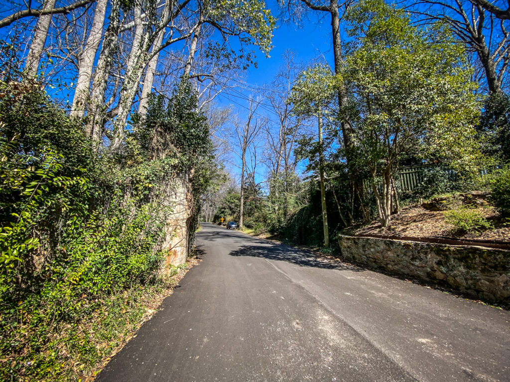
Overbrook Overpass
Just off of East North Street is a nice little neighborhood with elegant houses. At the south end of the Overbrook neighborhood is what appears a gateway.
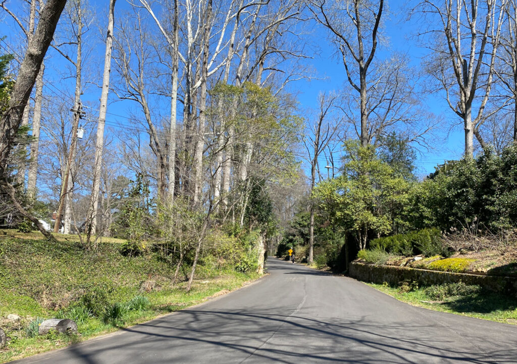
This is actually an overpass. Over the years I’ve wondered what road or rail went through this way. Apart from this remnant there isn’t anything else to indicate what this might have been. Whatever route this was follows a ridge into a yard and disappears.
The overpass is tied to the history of Overbrook itself. The neighborhood has been designated a historic district and the Greenville City website has a pretty good history of the area.
The neighborhood of Overbrook began with the expansion of the Greenville trolley line. The trolley line was extended in 1910 to its new terminus on the outskirts of the city, an area that became known as Overbrook. In 1913, a group of businessmen responded to the expansion of the city by recognizing a need for middle class housing which could be supported by the trolley line expansion. These businessmen, called the Overbrook Land Company, were organized by the Woodside brothers of Greenville. The Woodsides gained fortune from the Woodside Cotton Mill which was at one point the largest textile plant in the world. The oldest brother, John T. Woodside was most involved with Overbrook.
In 1913, the brothers purchased land on the eastern edge of Greenville from Asa A. Green for $7,500. In September of that year, the area was surveyed and subdivided by architect H.. Olin Jones. Just 2 years later a portion of the land was sold to R.J. Rowley, a farmer. Rowley was probably the developer of the first section of Overbrook. This area is dominated by Craftman Bungalow homes which were popular during that era. Rowley sold land to the Workman and Leigh real estate firm which sold to individual purchasers. Homeowners where predominately white collar professionals.
R.E. Dalton surveyed another portion of Overbrook in 1917 and by 1922 Overbrook Circle had been subdivided. By 1924 the neighborhood was fully developed. This area was developed by Franklin Smith for “well-off” businessmen and professionals and, therefore, both lots and homes were larger.
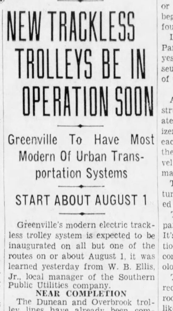
The neighborhood of Overbrook was one of the first suburbs of Greenville, and attracted many people with its easy access by trolley. The popularity of the “Toonerville Trolley,” as it was called, continued despite the switch to bus transportation around 1928.
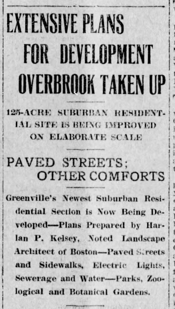
The Greenville News announced the development in 1913, touting “paved streets and other comforts.”
The overpass was part of the original trolley track. This was an electric track system installed by the Greenville Traction Company, which was eventually taken over by Duke Power.
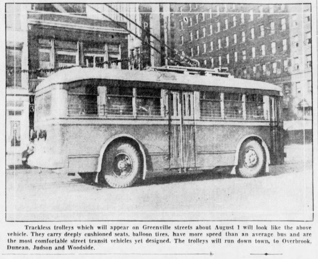
In the 1930s the tracks were resurfaced and paved, and new “balloon tire” cars ran along the paths. The trackless trolleys were still electric.
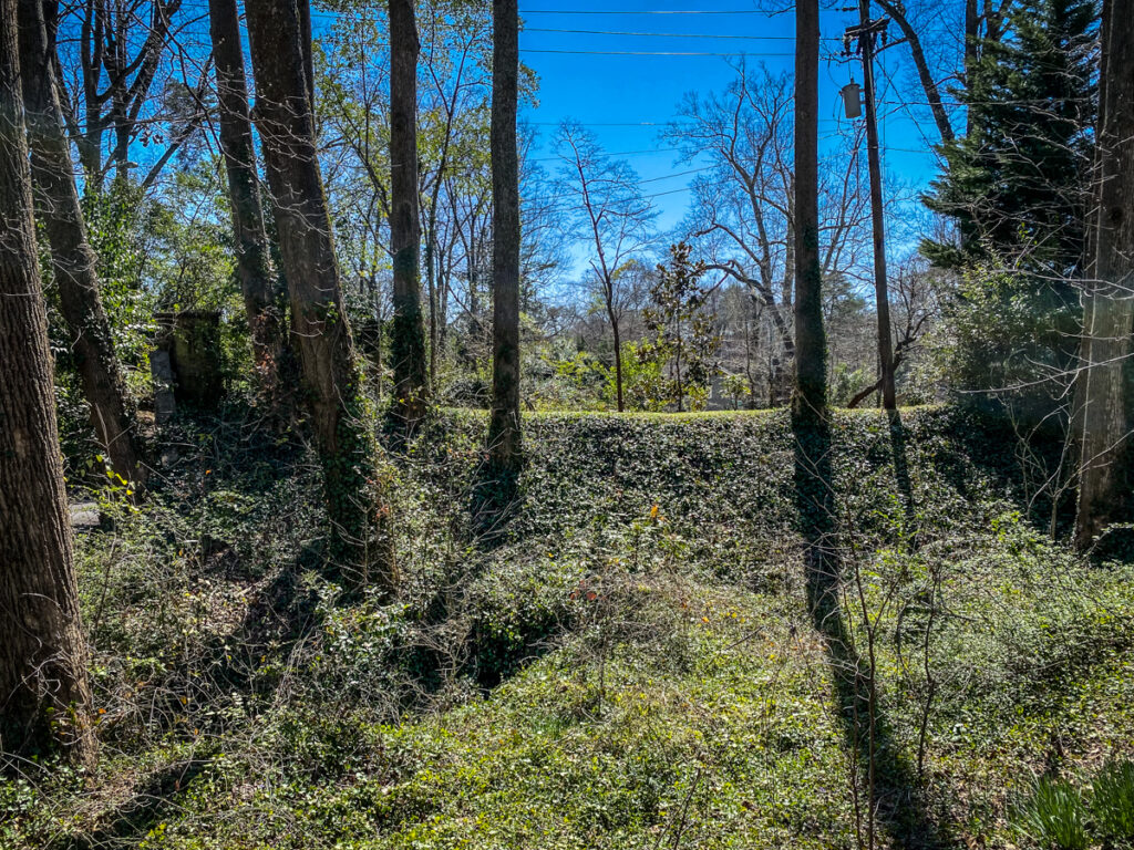
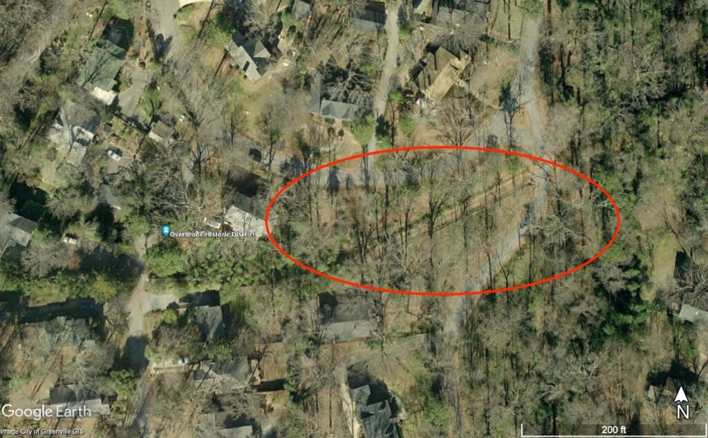
The trolleys ceased operation by the mid 20th Century, but there are still some remnants in addition to the overpass. These can be found as odd alleys through the neighborhood, such as this one found in Google Earth.
As I read about the trolleys I wish they would make a comeback, especially some of the inter-urban lines. With gas prices going through the roof right now I’m sure there are others that would love to see a decent light-rail passenger system.
But in a sense it has come full-circle. Gas-powered trolleys still run through downtown…
…and Greenville city busses are switching to electric. These changes had already been in the works, but maybe, just maybe, these crazy gas prices will bring about some good. We’ll see.
While watching a Youtube channel of a Russian Family, they took us for a drive, and they have those electric trollies in their town…only it was a double bus, they called it, Trolleybus.
Very cool! I have seen the coal dump and the trolley bridge, but I had no idea about the little stone bridge off Edwards Road. I will have to check that out!