It was a second Saturday. That means another paddling trip with Lowcountry Unfiltered. I had driven down the night before and had stayed with my two brothers in North Charleston, and on this fine Saturday morning we would brave the wilds of the lower Santee River from McConnell Landing to Hampton Island.
Some how we managed to roll out of bed fairly early, despite a huge meal at a Brazilian steakhouse, and nightcaps and joking until late at night. Our convoy headed to the put-in, first crossing the Cooper River on I-526, then taking what must be the straightest road in South Carolina, Highway 41, across the Francis Marion National Forest.
The problem with these trips is that we ALWAYS pass cool stuff en route to the put in. It’s usually early morning and there is a mist or cool light for just the right photography. This time we passed old stores and churches and other things that would normally have me stopping. I keep thinking “I’ve got to come back this way,” but it never seems to work out. Oh well.
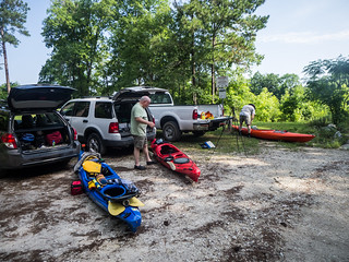
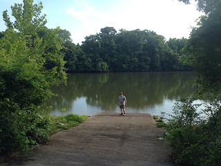
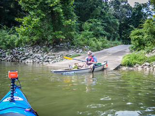
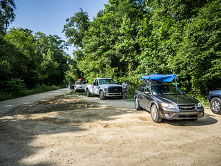
We reached the town of Jamestown, home of the “Hell Hole Festival”, and headed south. Our roads eventually turned to dirt, and soon we were at our landing. Houston, Stephen and I unloaded our boats and waited for the rest of the LCU gang to arrive.
The float plan had changed several times, and even at this last minute it was still in flux. Originally we were going to launch from McConnell Landing and take out at Hampton Plantation State Park. Hampton Plantation wasn’t too keen on that idea for some reason, so the take out was moved to the Highway 17 bridge. However, when the rest of the LCU gang got to the bridge they found that there was no river access – just a steep bank. Ultimately, the gang parked the take out vehicles on Wambaw Creek. It would shorten the trip, but it would also mean we were paddling upstream for the last bit.
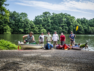
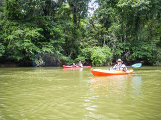
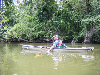
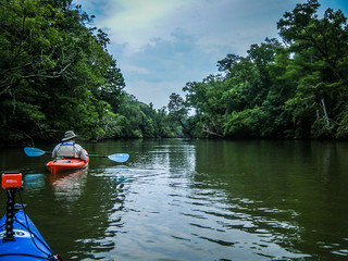
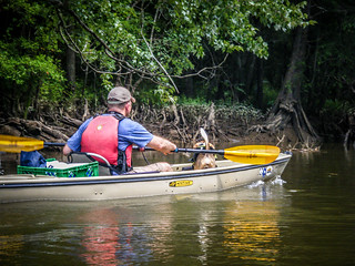
The rest of the guys showed up after the delay in finding a take-out, and our party swelled to six. Matt Richardson, John Ring, and Brian Pennell, and Matt’s trusty beagle, Lucy, rounded out our group.
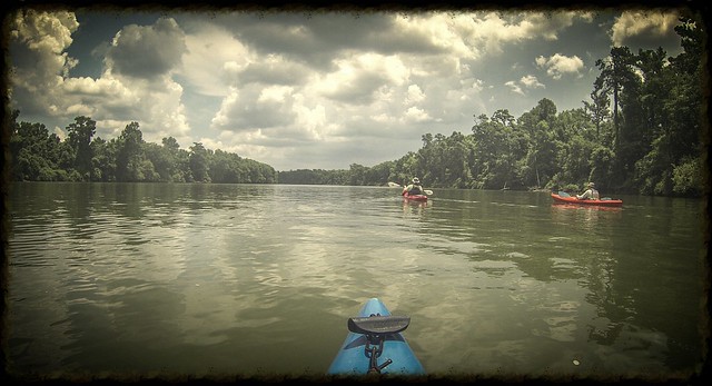
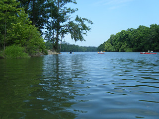
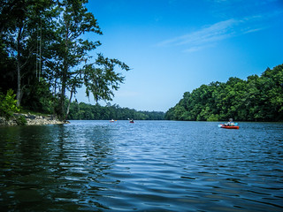
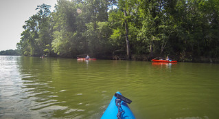
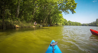
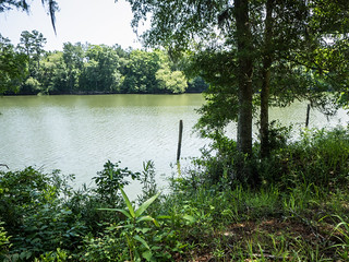
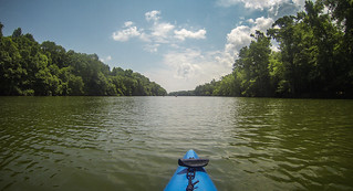
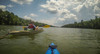
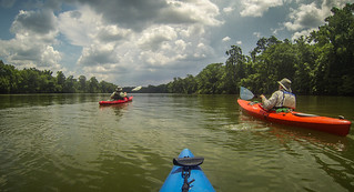
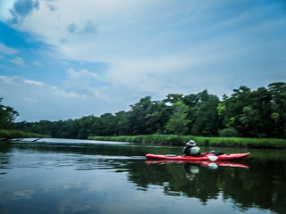
We set out at about 10:00 and headed upstream. It was a beautiful day, and the river was wide at this point. Two boats had launched earlier, but for the most part we had the place all to ourselves.
Our first stop was to be Battery Warren. This was a Civil War embankment with cannon to protect a vital railroad link from Union attack from the River. There were supposed to be earthworks and interpretive signs for the site.
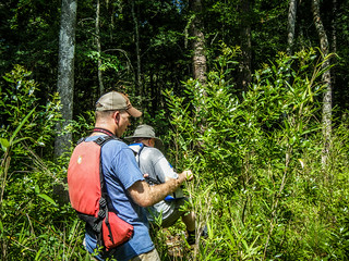
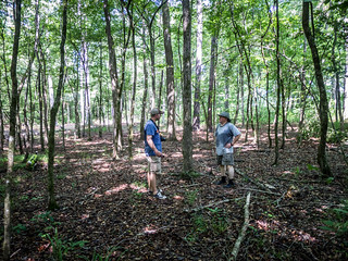
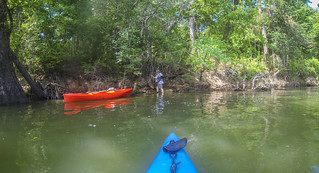
It was hard to find a place to land at the place we had marked on our GPSs. Eventually Matt found a place, then Houston and I found one further downstream. Houston and I climbed the bank and met up with Matt. We found Matt and wandered through the woods, but didn’t see any sign of earthworks or anything else.
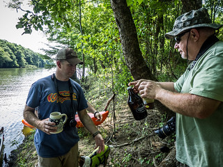
Houston and I gave up and headed back to our boats, but Matt continued up the bank. Eventually he found the site. We had stopped too soon. Just below the earthworks was a nice landing site. We moved Matt’s boat and gear upstream and joined him at the actual location. We met Matt on the bank and shared a cup of James Brown’s excellent beer, even though he couldn’t join us on this trip.
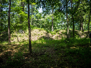
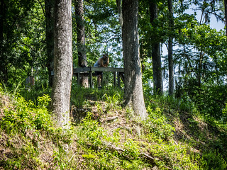
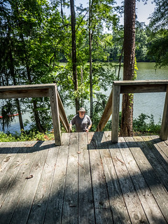
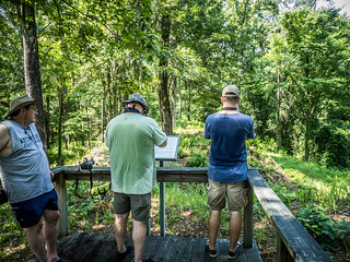
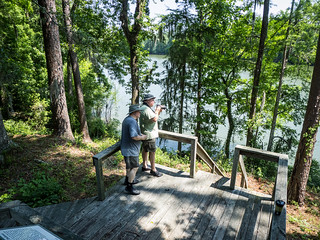
The earthworks were quite obvious. There was a raised ridge with a moat. A wooden observation platform gave nice views of the entire site. We climbed the platform and hung out a bit, taking in the scenery.
This location never saw action during the war. It was purely a defensive position. It was clear from the indentations in the earthworks where the guns had been placed.
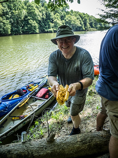
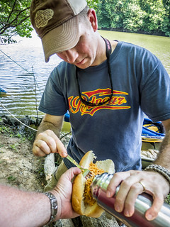
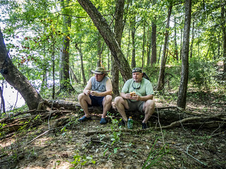
We made our way back down to the boats. We joked that here it was nearly noon and we were still nearly a mile UPSTREAM from our put in. Since it was nearly noon, we decided to go ahead and have lunch. Matt’s wife had fixed Buffalo chicken sandwiches for us, and it was a perfect meal on the river.
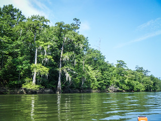
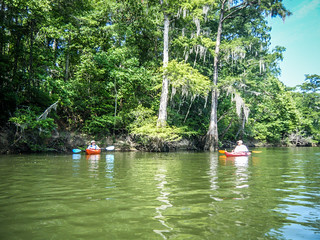
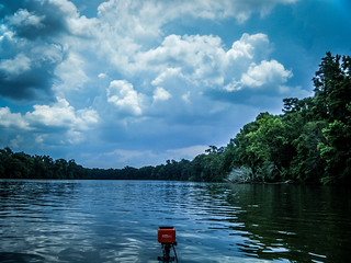
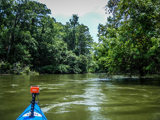
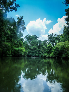
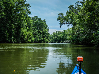
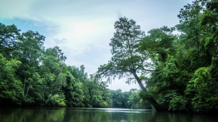
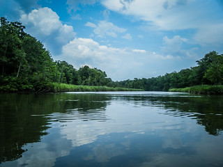
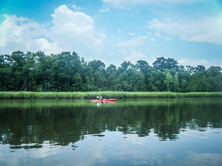
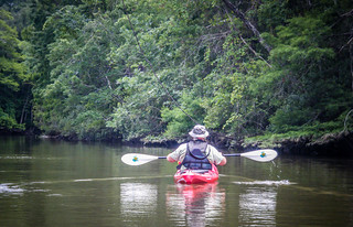
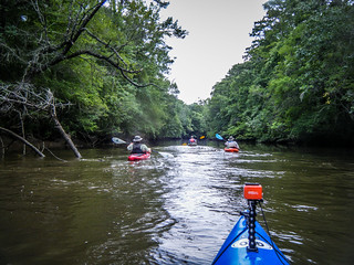
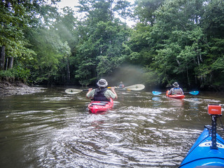
Suitable refreshed, we set out, downstream this time. The Santee is wide and wild at this point. We paddled several miles of complete wilderness, with no houses or access along the banks. The scenery was nothing short of spectacular. Weather was good, but a thunderstorm began to loom overhead. Thunder threatened, but seemed to stay just to the west of us.
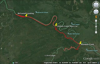
At this point the Santee begins a series of broad loops. These could have added miles to our trek, but we had an alternate route in mind. If we entered at Chicken Creek, it would deposit us on the South Santee just north of Hampton Island, and it would cut miles from our trip. The route could be tricky. If we missed the correct turn, we could wind up on the North Branch of the Santee, where the cars were NOT parked. The shortcut would eliminate that problem.
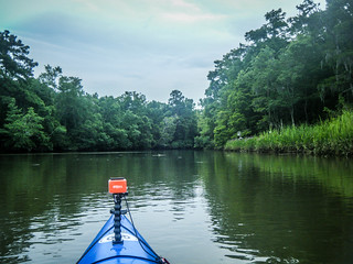
We took the entrance to Chicken Creek. The route was narrower, but just as scenic. We spotted several alligators, but none close. There were lots of birds, including barred owls, herons, and prothonotary warblers. Unfortunately, I wasn’t able to get any shots of this, but I did catch the scenery.
We continued for miles. It was apparently that we made the right decision about lunch. There had been no where to pull up for lunch – no beaches, no landings – nothing! In a way the wildness was excellent, but in some ways it made it difficult. This isn’t always the case, though. Apparently water levels are subject to change when they are generating power upstream.
Eventually we made it back to the main river. As we turned onto the wider body of water we noticed some incredible splashes upstream. We wondered aloud if dolphins made it this far inland. When we got closer a huge fish jumped out of the water next to my boat. It was larger than a mullet, and Matt said it looked like a sturgeon. Regardless, it made a great splash.
Soon enough we were at the Wambaw Creek confluence with the Santee. We turned upstream and headed toward the vehicles. John and Brian had paddled ahead. We weren’t even sure if they had taken the right branch. We continued on against a brisk current. This was especially hard at the END of the trip.
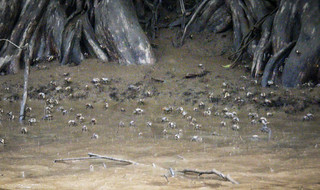
We had passed some sort of of boundary. There were still forests, but it was taking on more characteristics of salt marshes. Fiddler crabs climbed the banks, and I suspect that if we were on the main branch we would be facing tidal influences.
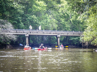
Finally we really reached the bridge and found John and Brian waiting for us.
It turns out that the shuttle was quite short. We were only a few miles from McConnell Landing by road. We loaded up the boats, said our goodbyes, and headed back home in our separate directions.
In all, we paddled nearly 12 miles. Here’s the route…
This stretch was one of the wildest, most remote stretches we had paddled. We didn’t see any signs of habitation, but we did see lots of wildlife. This one is highly recommended. It’s not one to be missed. Here are the rest of the pictures from the trip.
[fsg_gallery id=”50″]
It was a great trip!
Some of my photos are here: New Browser Window
Great photos, Houston! I was just getting ready to update this post with a link to your photos, but you beat me to it.