As promised, here’s the brief day-by-day rundown of our trip to Ireland. I’m only going to include the time that I was there. My brothers went out a couple of weeks early and saw sights up in Dublin, Belfast and further north. I came out for the last part of the trip.
Stephen has shared his photos from that part of the trip, and I guess I could snag their journals. However, I’ll leave it to them to tell that part of the tale.
Monday, June 8, 2015
While driving to the airport I got a phone call that my flight from Greenville to Philadelphia had been cancelled. No other explanation. Panic. I called US Airways and was told that I had already been rebooked onto another flight that had been delayed. The flight left on time, and I had an entire row to myself. I think they just didn’t have enough people for two flights.
There were weather problems, though. The plane that was to take us to Ireland couldn’t arrive in time. Finally one was found, and we got underway after a long delay.
Tuesday, June 9, 2015
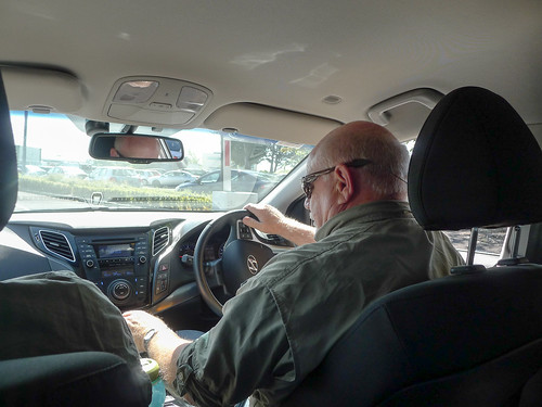
I arrived in Ireland Tuesday morning after a sleepless night. Stephen and Houston were there to greet me. There was immediate culture shock as I got used to Stephen driving on the wrong side of the car and road.
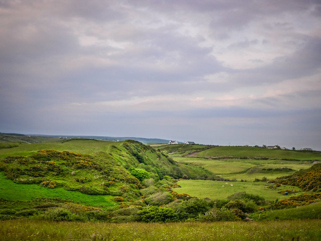
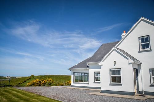
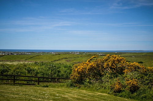
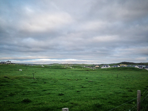
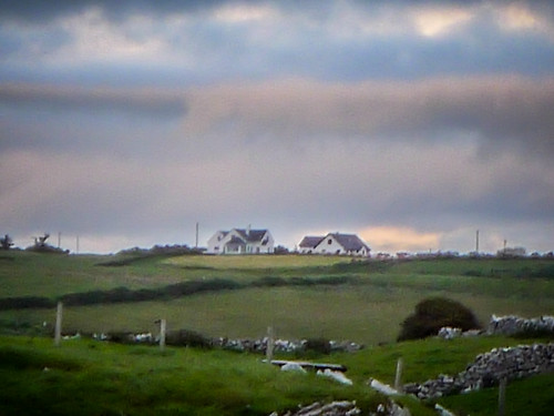
I arrived at our home – Doolin Haven. It’s a beautiful modern home set up on a hill with a fantastic view of the countryside all the way down across the town of Doolin and down to the Atlantic Ocean. We can see the Aran Islands across the way.
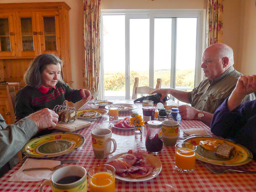
Cynthia and Lynda had prepared a full Irish breakfast for brunch.
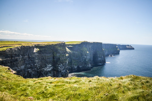
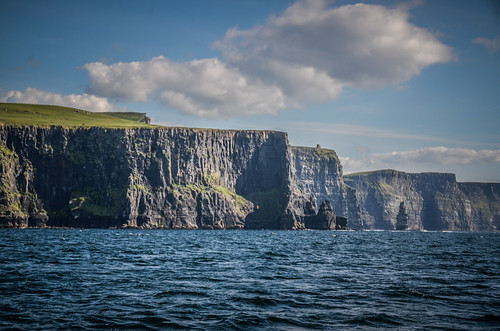
After our meal and after I had a chance to get settled in, we loaded into our rental car and headed to the nearby Cliffs of Moher. These are the tallest sea cliffs in Ireland, and have served as the backdrop for many movies, including the Horcrux cave from “Harry Potter and the Half Blood Prince” and the “Cliffs of Insanity” from “The Princess Bride.”
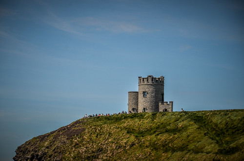
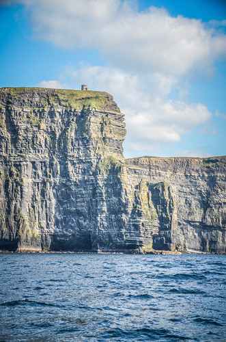
We paid the entrance fee and hiked up to O’Brien’s Tower, a castle-like structure that was built as a tourist attraction in the late 1800s. We also hiked north and south of the tower for views along the cliffs.
We explored a bit of the countryside south of the cliffs. We found St. Bridgit’s Well, with views across to Liscannor. We tried following a dirt road to see if it would take us out to the cliffs again, but had no luck. We drove back to Doolin and drove the the countryside surrounding the town.
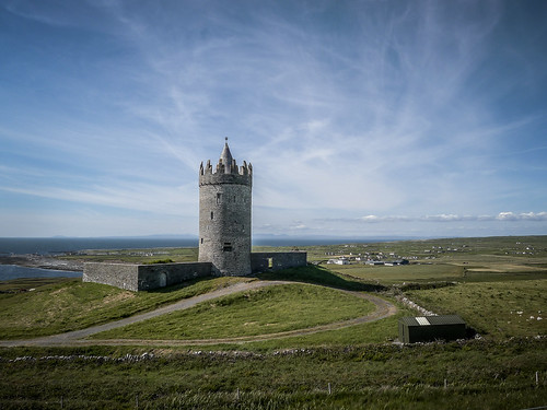
We rode up to Doonagore Castle, visible from our rental house. This round tower has been restored, and is now privately owned.
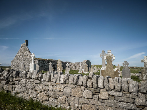
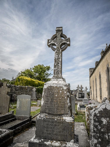
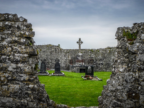
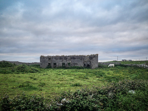
Eventually we made it to Killilagh Church. This is one of the many roofless churches that dot Ireland and now serve as cemeteries. The church is visible from the house where we are staying.
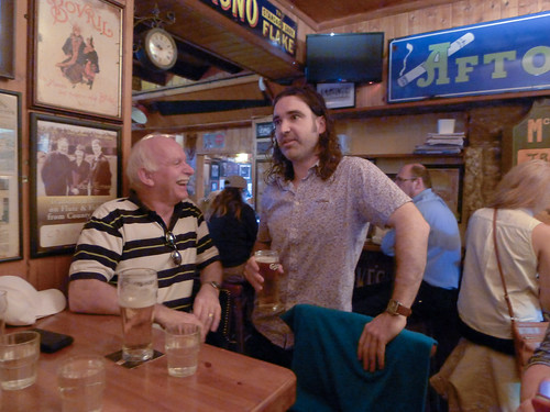
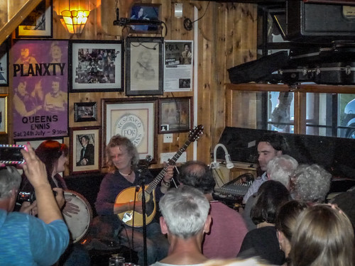
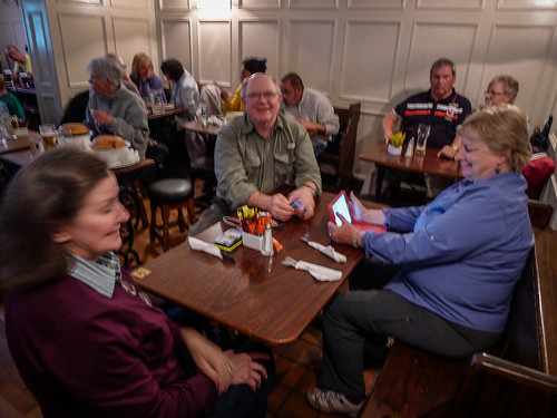
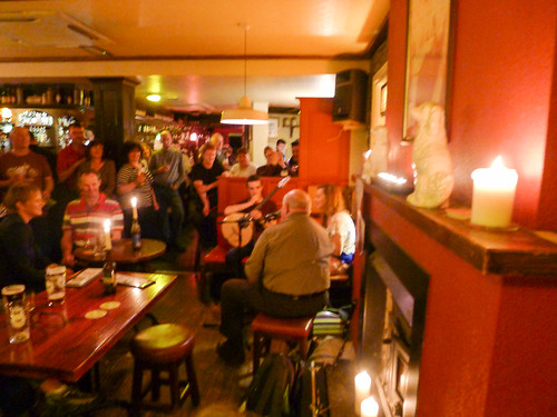
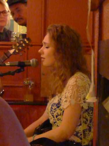
Dinner was at McGann’s Pub in Doolin. I had my first pint of Guinness and bowl of Irish Stew. I was dead tired, but stayed to hear some fantastic music by Gwendolyn MacGowan and Blackie O’Connell, a singer and Uilleann piper player that Cynthia knew. Before I completely crashed, Stephen took me home, but the others stayed.
Wednesday, June 10, 2015
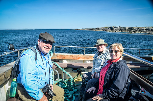
We got up early and headed down to the Doolin Pier where we boarded a boat for the Aran Islands. Just four of us went – Lynda doesn’t like boats, and decided to stay home. There were a few folks already gathered, but we were able to find a place to park.
There are three islands that make up the Aran Island chain. Inis Oeir is the closest and smallest, and has a cool beach and old fort. Inismoore is the largest, and farthest island, with a large village and several ruins. Both of these attract more visitors, so we selected the middle island, Inis Meain. It’s the least populated.
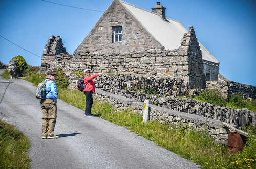
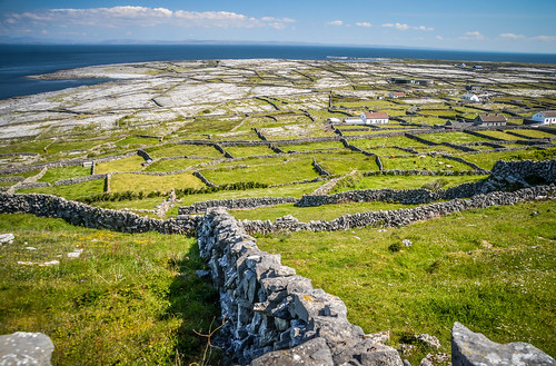
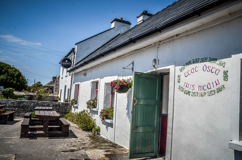
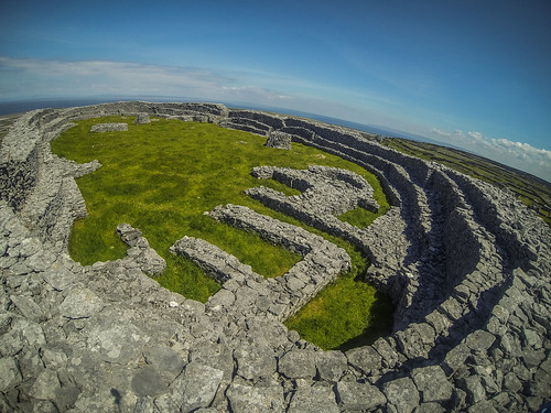
The boat took us out and we were the only ones that disembarked. We hiked through the stony fields and through village lanes. We explored the old stone fort of Dún Chonchúir, which is thought to be nearly 4000 years old. We had lunch in the village, checked out the old church, then finished with Guinness in the local pub.
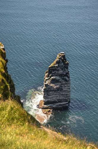
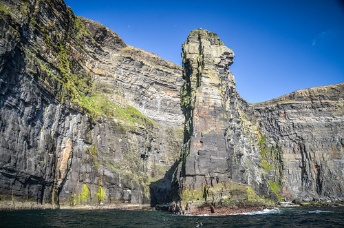
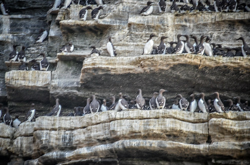
We boarded the boat and headed back to the Doolin Pier. There we picked up a few more passengers, then headed out for a tour of the Cliffs of Moher, this time from the sea. We visited the prominent sea stack where lots of birds nest. We could clearly see the cave from the Harry Potter movie.
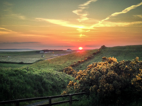
Made it back home and had dinner at the house. This far north, the sun sets very late this time of year.
Thursday, June 11, 2015
This was the day we would spend with author and ethnomusicologist P. J. Curtis. Cynthia had met him on some of her previous trips, and he had graciously agreed to give us a tour of The Burren.
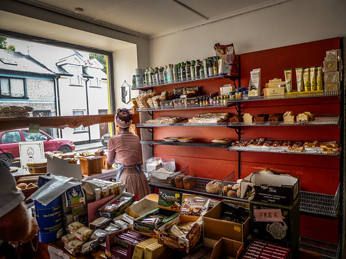
Cynthia knew that PJ liked baked goods, so we headed into Ennistimon to a local bakery for some sweets. We also walked up and down the streets of the little town doing a bit of exploring.
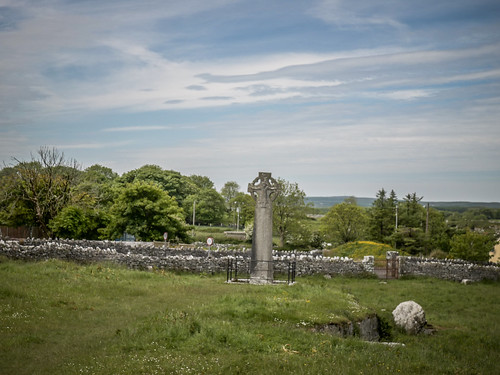
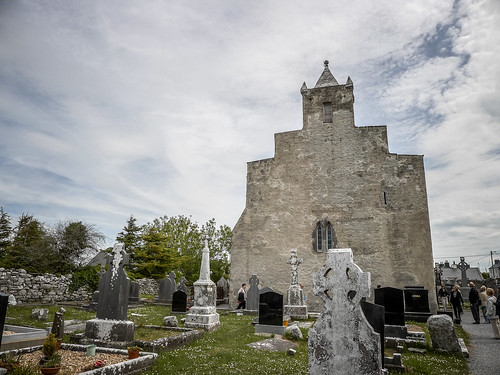
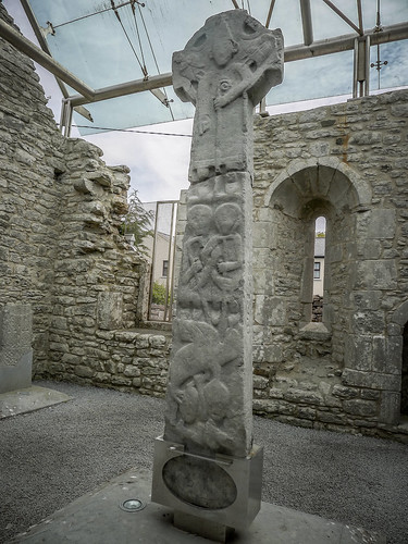
Our rendezvous point was the Burren Welcome Center in Kilfenora. Kilfenora is a small village that also served as the filming location for the Father Ted TV series. PJ met us at the appointed time, and we started our tour by walking next door to the Kilfenora Cathedral. The church started as an Egyptian Coptic Church. Catholocism came later, and for awhile, both Copts and Catholics shared administration of the church. A High Cross in the church features symbols from both traditions.
We wandered through the cemetery, decorated with its Celtic Crosses. In a field across from the church is another high cross. A plexiglass enclosure has been erected over a roofless portion of the cathedral to protect some of the older Celtic crosses. Another portion of the church has been restored as a small chapel.
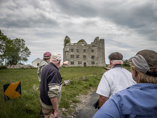
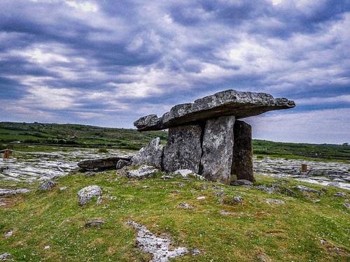
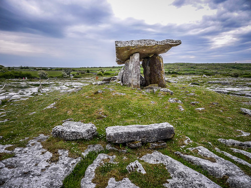
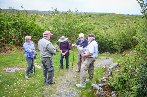
Cynthia and Lynda loaded into PJ’s car, while Stephen, Houston, and I followed in ours. We toured several spots in The Burren, including Lemanagh Castle, tea at Caherconnell Fort, the Poulnabrone Dolmen, or wedge tomb, and a hike up to the Cahercommaun Triple Ring Fort. PJ gave us the history of the area at each of our stops.
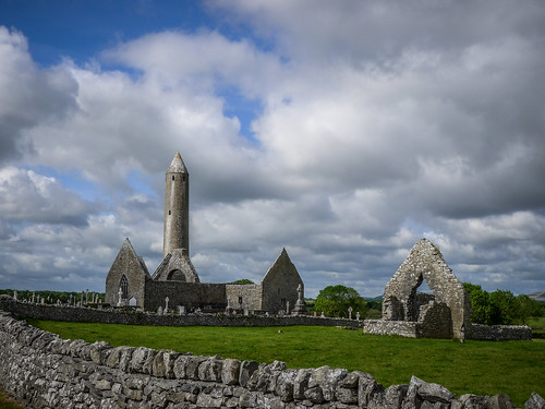
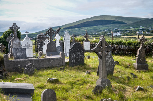
Eventually we wound up at the old church at Kilnaboy. A round tower sits in the church graveyard, and the area is home to graves of victims of the Potato Famine. There were the typical Celtic crosses, but there were also unmarked graves. PJ said that the fields around the church were littered with mass graves, and pointed out a “famine house” that had been left abandoned after someone had starved in it. As we entered the churchyard a human femur was lying out on a grave. PJ said that human remains are being found all the time with road works, etc. PJ also pointed out several pagan symbols hidden in the church.
Somehow, all of my photos from Killnaboy Church got deleted. All I had was this one panorama from my iPhone. I’m still trying to do a drive recovery, but I’m afraid they are gone. Oh well.
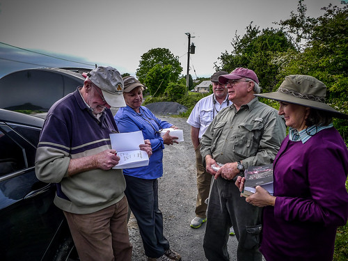
The lands surrounding the church and community are owned by PJ’s family. His grandmother’s healing cottages, about which he wrote in “The Lightning Tree” stand next to the churchyard. PJ’s own house was just around the corner from the church. He autographed copies of our books, and we said our goodbyes.
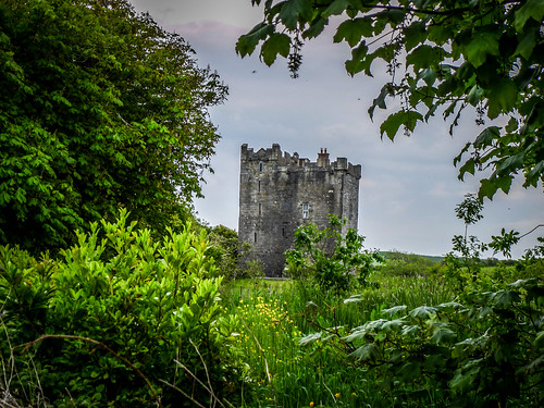
We made our way back to Doolin across the country from Kilfenora. Along the way we passed Ballygowan Castle, which someone had purchased for only 400 Euros, but then spent many more restoring. Dinner was a O’Connor’s Pub in Doolin, as we listened to more music.
Friday, June 12, 2015
This weekend there is a HUGE Irish music festival going on in Doolin. While it might be cool to attend, it was also going to be crowded and expensive. We decided something else would be more pleasing, so we headed southward.
We stayed on main roads and drove pretty much straight down to Bunratty Castle, in between Shannon and Limerick. Of course, as we saw signs for Limerick we had to start making up our own limericks.
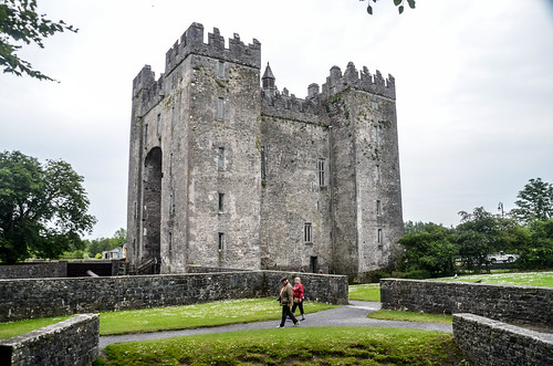
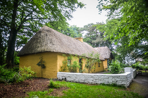
We spent all morning touring the castle and the surrounding village, which had been restored in a Disney-like fashion to show Irish life through different periods. We had lunch across the street in a cafe, then did some shopping.
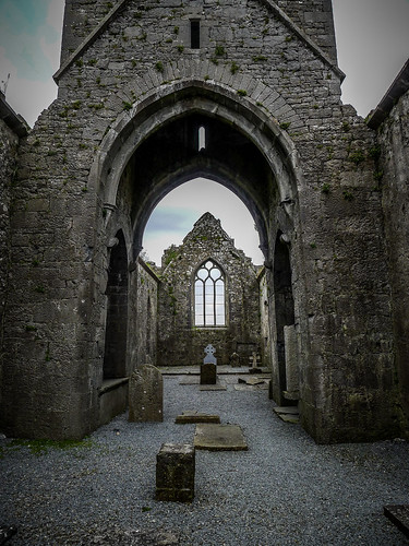
From Bunratty we headed back northwest toward the town of Ennis. Just outside of town we stopped at the ruins of Clare Abbey. This was a much larger set of church ruins than any we had seen previously. Unfortunately, there had also been some vandalism. It looked to be in a rough part of town, and even as we visited there was a gang of teens hanging out on the adjacent railroad.
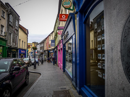
The next stop was the town of Ennis, where we found a rabbit warren of one-way streets. We found parking, and explored the town, which was larger than others I’d seen on this trip so far.
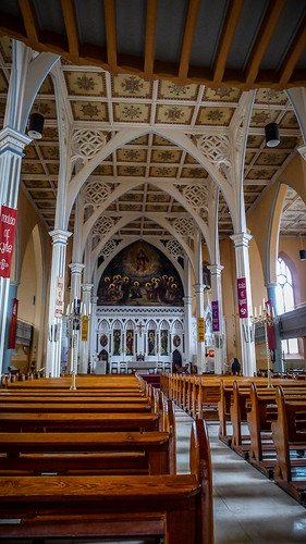
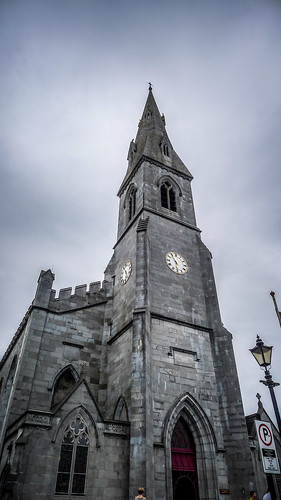
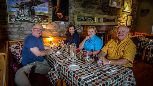
Our destination was the Cathedral of Saint Peter and Saint Paul. This was a beautiful 19th century church. The attraction, though, is a large portrait entitled “The Annunciation.” Its peaceful imagery was a favorite of Cynthia’s. We also found a place called Taylor’s Bar, but we didn’t stop in for a pint.
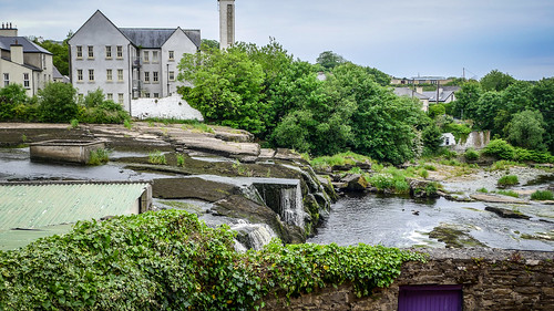
We drove on back through Ennistimon. The spelling of these towns changes depending on which map you’re reading. I’ve seen this town spelled “Ennistymon” as well as “Ennistimon.” Then there’s the Gaelic name for the town, which may or may not have any relation to the English version(s). PJ Curtis pronounces the name as “Ennis-stY-mon”, with a long “i” sound. Regardless, we stopped and had dinner at Byrnes Cafe overlooking the small cascades on the river.
Saturday, June 13, 2015
PJ had invited us to a lecture he was giving on Irish Music. Lynda decided to stay at the house, so the rest of us headed out. We stopped in Kilfenora and got directions to the event.
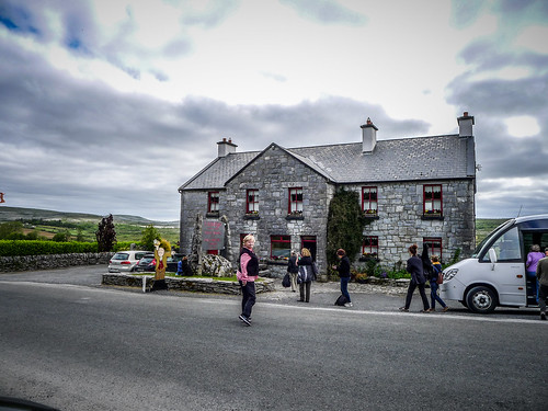
PJ was speaking at Cassidy’s Pub, in the community of Carran, in the heart of The Burren. We arrived and found that it was a private event for a tour group, and were initially denied entrance. However, when it was found out that we were PJ’s invited guests we were allowed in.
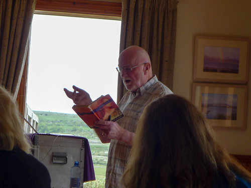
The lecture was fascinating, covering the history and styles of Irish music. PJ has over 52 albums to his credit as a producer, and I think I already own a couple of them. We were treated like royalty, as his guests, and he dedicated a song to us entitled “Willie Taylor.” Afterwards, PJ came over and hung out with us, chatting some more.
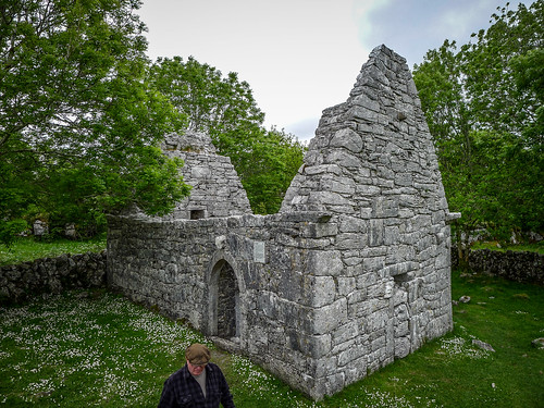
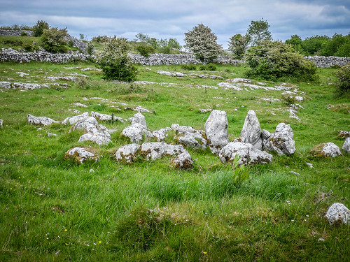
Lunch was at Cassidy’s during the lecture, so afterwards we set off to explore the Burren a bit more on our own. First stop was Temple Cronan, a small chapel set off in a cattle field. It was roofless, much like the other churches we had seen, however, this one did not have a cemetery. This site was originally used as a pagan temple, and some pagan symbols were incorporated into the construction of this 12th century building. There were lots of boulders in the surrounding fields, and some looked like they could have been stone rings.
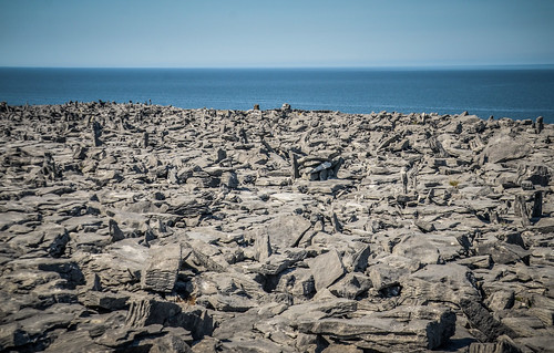
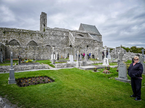
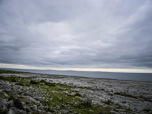
We drove through the karst topography of the Burren, through small communities, past ring forts and stones, and past the Turlough Hill. Finally we took a side road down to Corcomroe Abbey. This was another larger structure, similar to Clare in Ennis. We explored the area a bit, as tour buses also pulled in with other visitors.
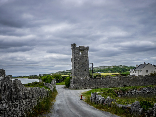
By this time we were nearing the coast, and we began to catch sight of Poulnaclagh and Muckinish Bay. We stopped at the ruins of Shanmuckinish Castle on the bay to take a few photos.
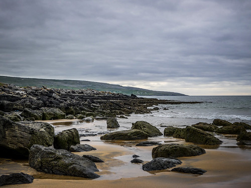
Eventually we reached the town of Ballyvaughan on Galway Bay, stopping for snacks and fuel. From there we continued along the coast, stopping at the Black Head Point overlook and then at Fanore Beach. There were a few hardy souls out swimming and wading in the water. We continued along the rocky coast until we got back to Doolin.
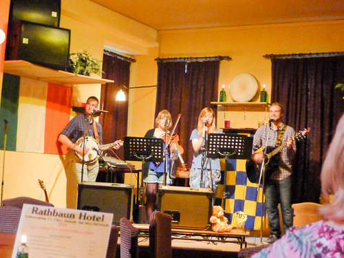
Doolin was hopping. I rode with Houston and Lynda over to Ennistimon for a few groceries, then Stephen and Cynthia and I headed over to the nearby town of Lisdoonvarna for dinner. Lisdoonvarna is known for its annual “Matchmaking Festival.” We stopped at the Rathbaun Hotel, where we had a good meal and listened to some young musicians play mostly Irish music to a crowd of Russian tourists.
Sunday, June 14, 2015
I was sick. The Irish Stew and late nite with a couple of pints of Guinness had not agreed with me. Even so, I wasn’t going to let it slow me down. On this day we would be heading into the interior.
The whole gang loaded up and headed across country westward toward Gort (Klaatu, barrata nikto). A little before we got there, though, we stopped at the village of Killmacduagh There we found the ruins of a tower house, so old stone walls, and the abbey. Next to the abbey was a tall tower that leans slightly.
We continued on through the town of Gort and picked up the M6, the major motorway between Galway and Athalon. The landscape reminded me of the Piedmont somewhat, and we were getting to more populated areas with somewhat familiar-looking commerce.
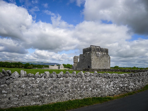
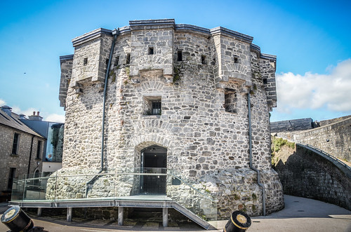
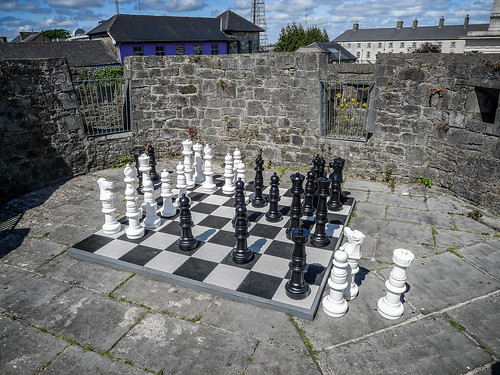
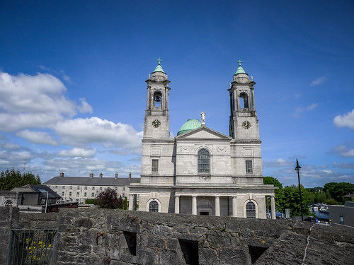
In Athalon we headed straight to the castle on the banks of the Shannon River. There we got out to explore. We decided we had seen just about enough old castles, so we only visited the publicly accessible parts without paying the fee to visit the interior. We had lunch at a small cafe next to the castle.
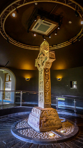
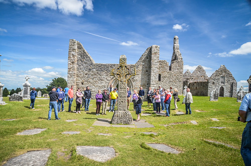
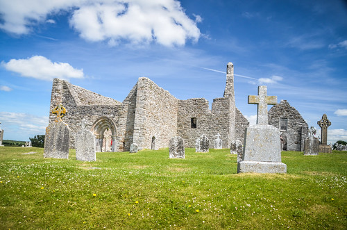
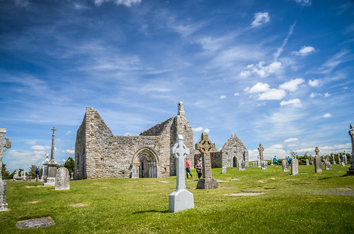
From Athalon we headed south, roughly following the Shannon River. Our goal was Clonmacnoise, another ruined monastery with some excellent examples of high crosses. The actual crosses have been moved to a museum display so that they are protected, and have been replaced with replicas on the site. We paid our entrance fees and headed on in. We toured the exhibits, then joined a tour of the site already in progress. There were several buildings, including a tower on the banks of the Shannon.
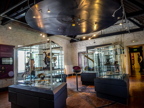
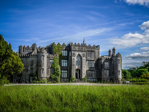
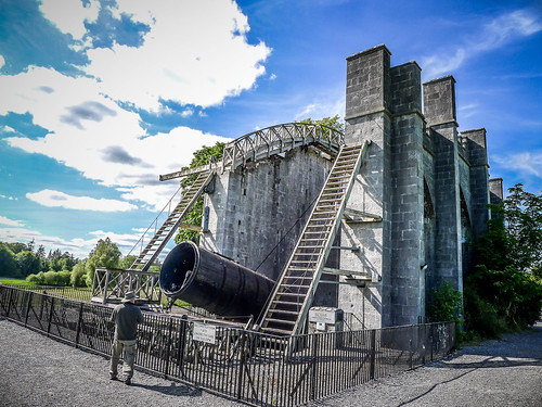
After a couple of hours at the monastery we continued southward. The next stop was the town of Birr, and Birr Castle. The Parsons family came into possession of Birr Castle in the late 1600s, and the family had a keen interest in science. In 1845 William Parsons built “Leviathon”, the largest reflector telescope in the world at the time of its construction. That telescope has been recreated on the site. Later Parsons family members developed steam turbines that were used in ships such as the Titanic.
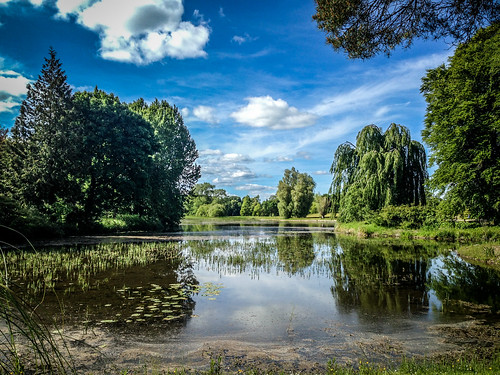
We toured science exhibits, then headed out onto the grounds. Since it was later in the day we were not able to tour the castle itself, but the beautiful gardens were sufficient. It was a gorgeous day, and we enjoyed being out and about on the grounds.
From Birr we headed pretty much straight home. Doolin was hopping with the music festival, and there was no way we were getting into the more popular pubs. Oddly enough, there was space for us at McDermott’s, which is usually just as crowded. We had dinner and headed back to the house afterwards.
Monday, June 15, 2015
It would be another day of traveling, covering so much territory that I know I’m going to leave out some of the stops. Stephen, Cynthia, Houston, and I set off for an overnight trip, while Lynda opted to stay at the house.
Our route took us past the Cliffs of Moher and down to the town of Liscannor on the banks of the bay that shares its name. From there we rounded the bay, crossed the Inagh River, and drove through the town of Lahinch. This town struck me as a great place to spend some time next time I come out this way. I might even think of staying here rather than in Doolin.
We crossed lots of countryside and drove through lots more little towns, finally reaching the town of Kilkee. This seaside resort has a wide beach area, made even wider with extreme low tides. We drove out to a rocky outcrop for some photos.
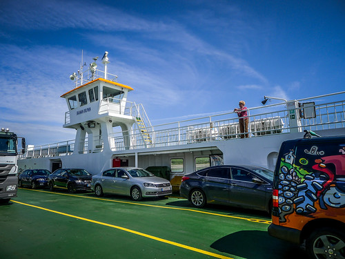
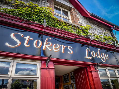
We turned back inland and drove on down to Kilrush, where we took the ferry across the Shannon River to Tarbert. From Tarbert we headed on down to Tralee where we had lunch at Stoker’s Lodge. From Tralee we headed to the town of Kilagorin. There we picked up the Ring of Kerry, a road that runs along the outer edge of the Kerry Peninsula.
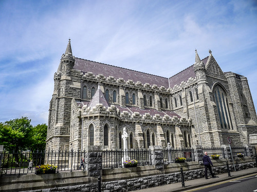
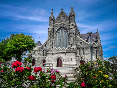
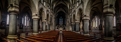
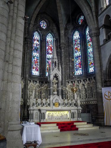
We reached the town of Cahersiveen, where we stopped briefly at the Barracks for a cup of coffee, until we learned that we had to pay an entrance fee just to get to the cafe. Forget that. We crossed the Fertha River, then returned to town. We did pause at the Daniel O’Connell Church, a large Gothic structure with a beautiful interior. We were able to find our coffee in a cafe across the street, as well as a bottle of High Commissioner Scotch Whiskey.
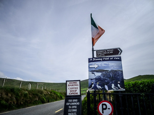
Now we were on the wild Ring of Kerry in earnest. In the town of Portmagee we began seeing brown signs for “Kerry’s Most Spectacular Cliffs.” When we followed the signs and got there, we found that there was yet another charge and long hike. We still had miles to go, so we decided to skip the tourist trap.
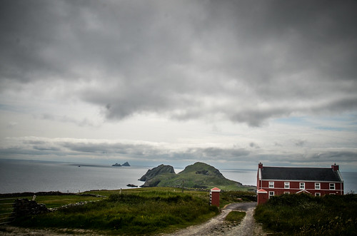
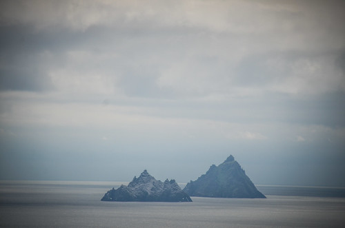
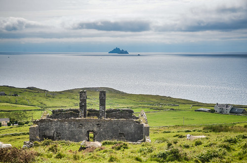
At the top of the hill we above the cliffs we had amazing views of the countryside. We came down the other side of the hill and followed a small country lane until we had great views of the Skellig Islands. These are two stark islands that held a 6th century Christian hermitage. The islands also served as a filming location for the upcoming Star Wars film, The Force Awakens. I’ll have to look for that.
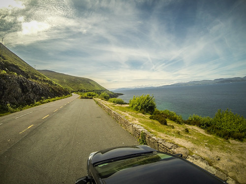
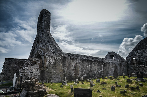
We continued through some amazing countryside with equally amazing scenery until we reached the town of Ballinskelligs. Here we found yet another abandoned monastery, the Ballinskelligs Priory. There were views across the channel and a view of a tower fort in the town itself. The Priory featured many unmarked graves, probably Famine victims.
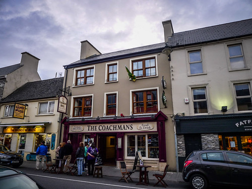
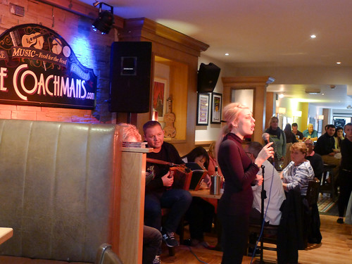
We thought about stopping at the towns of Waterville and Sneer to stay for the night, but continued on to Kenmare. There we found a lovely little B&B with a delightful proprietor named Julia. She had rooms for us at a reasonable rate. We did some shopping in town, and had dinner at The Coachman House while listening to more good music. We spent the rest of the evening smoking cigars and consulting with the High Commissioner.
Tuesday, June 16, 2015
Now it was Stephen’s time to be ill. Apparently the combination of seafood stew, Guinness, High Commissioner, and cigars didn’t agree with him. He wasn’t able to enjoy the full Irish breakfast Julia had prepared for us, including blood sausage.
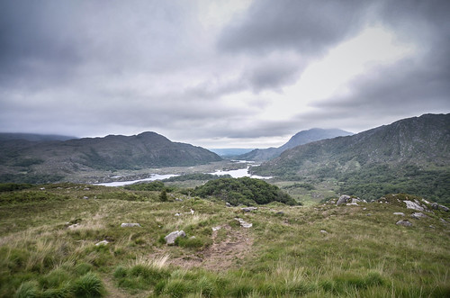
We headed north toward Molly’s Gap. There we had views of Black Valley. We had entered Killarney National Park. On down there was another overlook with a view of the lakes in the valley below. We thought that this would make a beautiful kayaking venue. We did find a place where we could launch, but there was a sign saying “canoeing by permit only.”
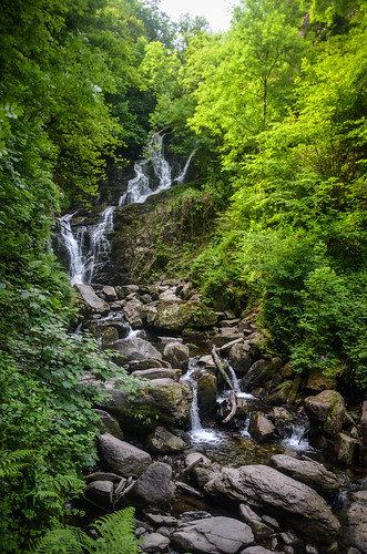
We continued through a narrow forested valley. Occasionally we would catch a glimpse of a castle ruin or stone wall. I saw a sign for a waterfall, so we pulled in. The Torc Waterfall was just a couple of hundred yards up an easy trail. I set up a tripod to take a few shots, then came on back.
As we entered the outskirts of the town of Killarney we passed the entrance to Muckross House. This is a castle and gardens similar to Birr Castle, and we had talked about doing a tour. However, we kept going. Soon we were seeing signs for rides on “jaunty cars.” Turns out that these are horse-drawn carriages used for tours.
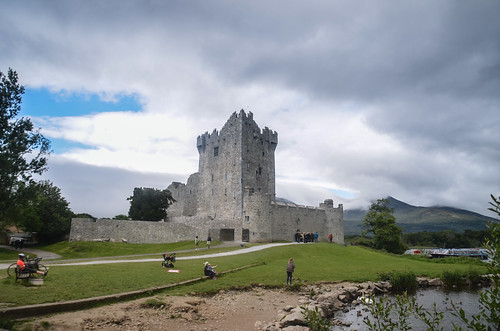
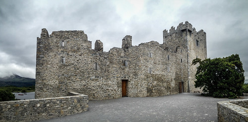
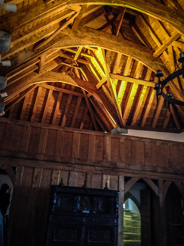
We did pull into the parking lot for Ross Castle. We walked the grounds and took a couple of photos, then decided to tour the interior. We were asked not to take photos inside, but, of course, we did anyway.
From Ross Castle we headed pretty much straight back to Doolin. We picked up Lynda, then headed back to Lisdoonvarna and Rathbaun Hotel to listen to more music.
Wednesday, June 17, 2015
Downtime in Doolin – For the first time since I had been here, it was rainy and cold. Others had rain on the first part of the trip, but since my landing it seems we had been blessed with good weather. Since we were departing early on Thursday we used the day to get packed up and relax. We spent some time in the town of Doolin, buying last-minute souvenirs and having lunch at one of the cafes.
One of the items Stephen bought was a detailed map of the area. It showed ring forts and old graves littering the hillsides around where we were staying. I can now see them in Google Earth, but with limited Internet, that didn’t help us much. I just wish we had found this map earlier in the trip. Maybe next time.
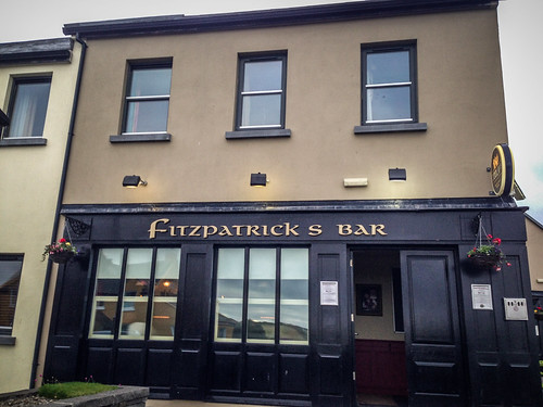
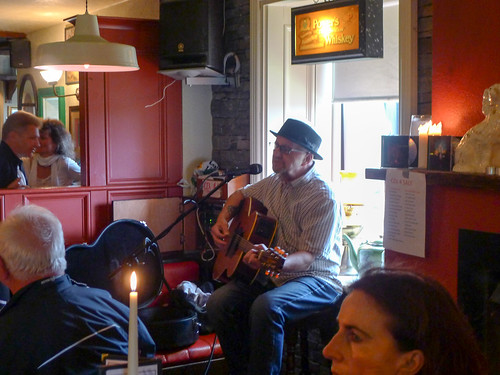
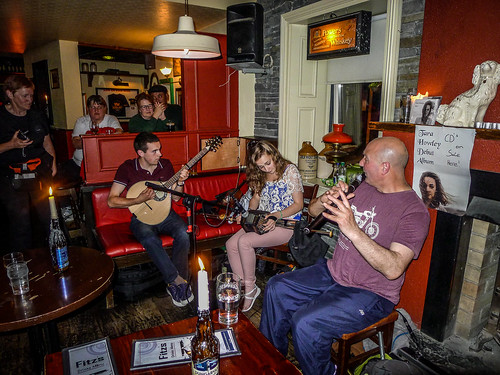
In the evening we headed to Fitzpatrick’s Pub to hear Tara Howley, a young woman Cynthia had heard on her previous visit. There was an opening act – a solo singer. I took a advantage of the late light to escape the pub for a moment and go for a walk on my own. I could see our home for the past week perched high on a hill overlooking the town.
Back at the pub Tara and friends were getting warmed up. She was joined by a flute/whistle player and guitarist. Tara sang, played whistles, Uillean pipes, and fiddle. She was fantastic. Stephen even got up and sang a song with them. We stayed as late as we could.
Thursday, June 18
Unfortunately, all things must come to an end. Somehow we managed to get everyone into the car, as well as all of our luggage. Getting through Shannon Airport was a breeze, and soon enough we were on our way across the pond.
Philadelphia proved to be a problem. We made our connection on time with no problem. However, the flight was delayed as we waited for a plane to arrive. Once we boarded, we sat on the tarmac for nearly two hours, waiting for weather to clear. Finally we lifted off, and arrived home at about 8:30 pm, which would be 1:30 am in the time zone we just left. It had been a great trip, but an exhausting one. I was glad to be reunited with Laura, and I hope she can go with us next time.
Here’s the slide show from ALL of the photos I took. Be warned – this is nearly 1650 photographs, and these are just the ones I selected and processed. Maybe one day I’ll cull it down and create a “Best of Ireland” set.
[fsg_gallery id=”70″]



Wow!
What a great trip! And a great write-up! Welcome back!
What an absolutely fantastic trip, and an excellent job of capturing the details and cataloging the photos. So much of what you wrote triggered wonderful memories for me. Just beautiful! I can’t wait to go back.
(And I’m still laughing at “The Day The Earth Stood Still” reference.) 🙂