My father’s history with boats has been…interesting. Despite having served in the Navy during WWII, the boats he seemed to wind up with during later adulthood were quirky, at best. There was the time we went fishing and I wound up with battery acid eating through all of the life vests, as well as the jeans I was wearing. We didn’t catch anything. There was the time the passenger seat snapped loose, at speed. We didn’t catch anything that trip, either.
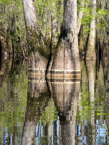
But what would life be like without these adventures, and the tall tales that they inspire? Some of my fondest memories are of exploring the north end of Lake Greenwood and the rivers that feed it. We took one boat far up the Reedy River, and another boat far up the Saluda. On one of these trips we watched a bobcat jump into the river and swim alongside the boat, terrified that it might take a notion to jump into the boat.
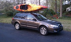
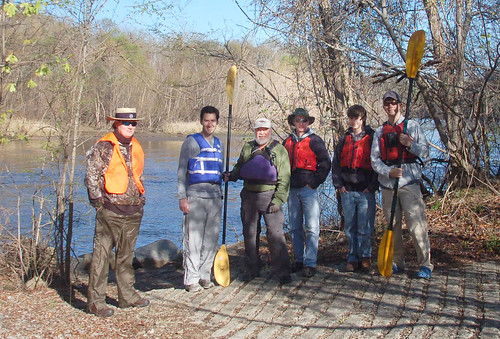
Saturday I was able to replicate one of those trips, this time from the relative safety of a kayak. I joined the Greenville Canoe and Kayak Meetup for a trip from Souls Harbor on Lake Greenwood up the Saluda River. Although there were no bobcats this time, it was still a 14 mile adventure.