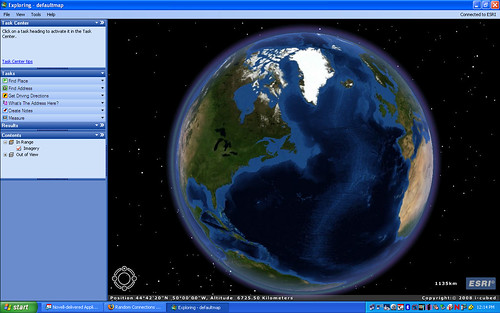
Long before Google Earth came on the scene there was ArcGIS from ESRI. There are two (actually, multiple) flavors of this. There were the professional GIS versions consisting of ArcMAP and ArcServer, and a free viewer, ArcExplorer. I attended a couple of workshops on ArcExplorer, was impressed by its potential for the classroom, but never really got into it. Along came Terraserver making free satellite imagery available, then Google Earth took the world by storm, somewhat obscuring these previous free mapping services.
While working on another project I needed to check out ArcGIS Explorer once again, and was surprised to find that it now looks very much like Google Earth with a similar user interface. Navigation is essentially the same – you can zoom in, tilt, and pan just like in GE. There are search functions and you and create placemarks. While Explorer will open KML files, it’s designed to be more compatible with ArcGIS data.
Google Earth has a much larger user-contributed base. However, there is much more accurate GIS data available for Explorer from various GIS organizations around the world. When comparing the free versions of these programs, you could think of Google Earth as being more populist, and ArcGIS Explorer as more professional.
