 We got up far too early for a Saturday. Our hotel had a very good breakfast, then we caravanned up to the dock for the Bull Island ferry. Laura and I had been here many times, but had never crossed on over. The long dock and isolated access road is/was an excellent place to look for bald eagles.
Bull Island is part of the Cape Romain National Wildlife Refuge, and is accessible only by boat. This area is one of the most protected on the South Carolina coast. The ferry ride over croasses through the Intracoastal Waterway, then through the salt marshes to the back side of the island, and takes about thirty minutes for the seven mile ride.
There were sixteen in our group, including our leader, Greg Cornwell, and our good friend Tim Taylor. There were several children, and one of Laura’s colleagues from the biology department at Furman. It was a good group.
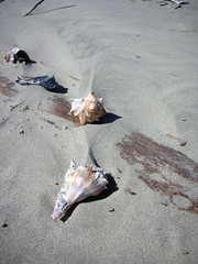 Greg was interested in getting to the shells as soon as possible, so we were fairly force-marched through the interior forest. Even so, there were plenty of birds to see. Apparently Hurricane Hugo had wiped out much of the dense forest, but it was still thick in some areas. After a couple of miles of walking, we made it to the ocean side of the island and began our shelling in earnest.
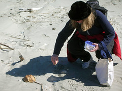
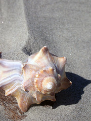
This being a protected island, the shells were incredible. The place was covered with large welks. After awhile, we just stopped picking them up, there were so many and were so common. We began to search for the more elusive channel welks and lightning welks. Sand dollars were also plentiful.
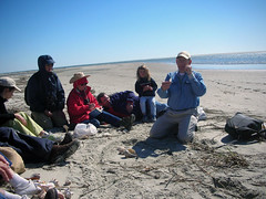
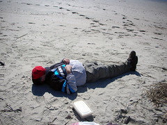 We had a picnic lunch behind a sand dune, and eventually made our way to the south end of the Island where the density of shells was even greater. As one might suspect, those shells further from the waterline had begun to bleach, whereas those a bit closer in retained wonderful coloration. After awhile, we began feeling shell-shocked, and decided to just hang out on the beach while waiting for the boat to pick us up. OUr finally walk had covered nearly 4.8 miles, and we were sunburned like crazy.
 We finally got back to the Bull Island dock at 4:15, and it was a made dash to the Sewee Interpretive Center to see the Red Wolf display, followed by a short film on the area.
Notes:
Google Earth splits Bull Island in half. The north end is in low resolution, but you can see plenty of details for the south end and most of the route that we hiked.
Doug Adomatis has provided a great GPS file and map for Bull Island on his TravelbyGPS website.
