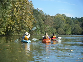
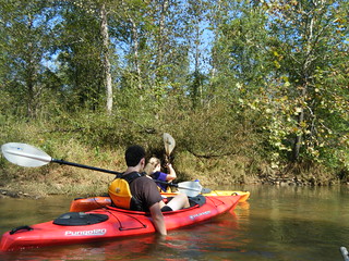
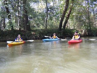
It seems like it has been ages since I’ve been out on the water. When Alan suggested a quick paddling trip for today, I jumped at the chance. His daughter, Caitlin, and her boyfriend, Ben, were in town while Furman is on fall break, so we were looking for a quick trip somewhere close by. Saluda Lake fit that bill nicely.
There are two public access points for Saluda Lake. Saluda Landing is on the Greenville side, and is a privately owned boat ramp and marina. On the Pickens side there is a relatively new public park. The last time we were there, Saluda Landing charged us $3 per boat to launch, whereas the Pickens park charged $3 per car parking fee. So, the question was, is it worth $6 for the convenience to Furman and a launch closer to where we wanted to paddle? We decided it was, and agreed to meet at Saluda Landing. However…
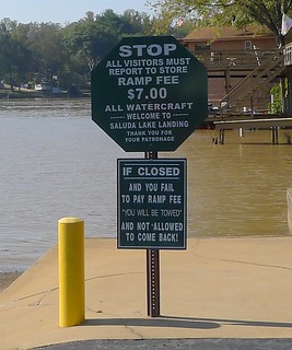
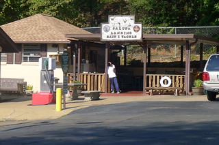
…when I got there with the boats the sign said $7 per boat to launch. I thought $28 for four boats was excessive, and negated the convenience factor. I went into the bait and tackle shop to confirm the price.
Inside I met Frank, who bought the place only a few months back. Frank turned out to be a nice guy, and was really trying to turn the place around with an expanded cafe and other amenities. I noticed that it looked much cleaner than the last time I had visited. We were able to negotiate a much, much lower launch price, as long as Alan and I took up only one of the long parking places. Frank also gave me some great information on the dredging project underway, lake conditions, and the best route to avoid the barge traffic.
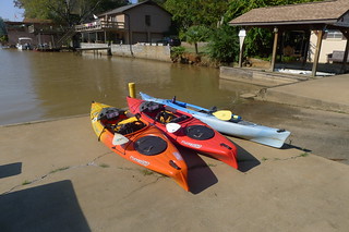
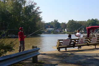
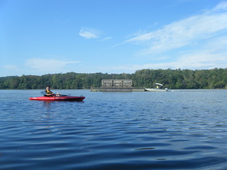
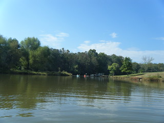
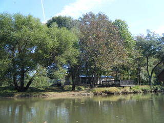
I unloaded the boats I brought and took a few photos while waiting for Alan and his group.
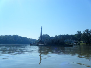
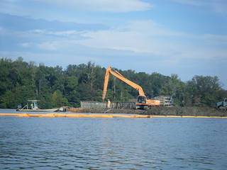
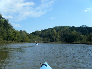
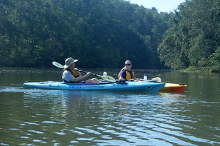
Soon enough Alan & company arrived, and we set off. The plan was to paddle upstream on the Saluda River as far as we could go, then return. Normally, we have to paddle several hundred yards south before heading upstream in order to avoid a sand spit, the result of years of siltation. This time, however, a back hoe sat on a barge digging away. Most of the sand spit was gone, and we could hug the east back and turn upriver sooner than we had in the past.
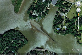
According to Frank, the dredging project has two phases. The first is a deepening of the lake and removal of the sand spit. The spit is clearly visible in this Google Earth view…
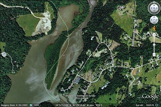
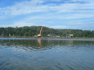
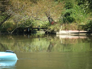
The dredged sand is transported by barge to another siltation spit where it was loaded onto dump trucks. A temporary concrete bridge had been constructed for the trucks to remove the sand. Eventually, this larger siltation spit would also be removed. In this Google Earth view the spit is green with trees and vegetation.
The first time we paddled the lake, Alan and I took the left side of the spit and wound up at a dead end. Later, David Freeland and I found the correct path to paddle upriver. This time we would follow that latter route.
Barge traffic was pretty thick, and there was lots of activity out on the larger spit. We stayed close to the east bank.
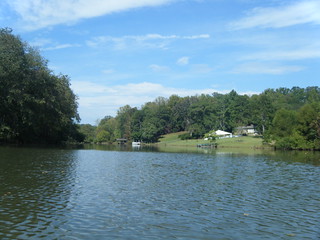
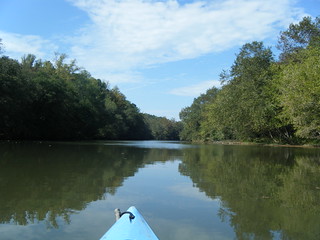
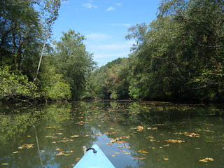
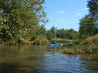
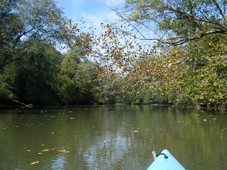
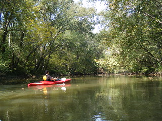
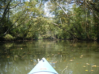
The width of the lake is more like that of a river at this point, but it’s flat with no current Houses are further apart along this section of the lake. The lake was shallow in some spots, but passable. There were also a couple of interesting coves to explore.
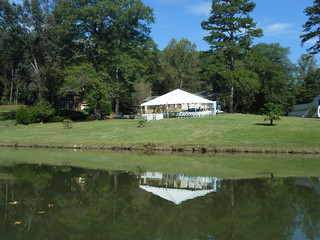
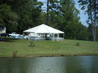
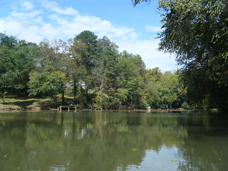
On a long lawn leading down to the lake, the area had been set up as a wedding venue with white tent and chairs. One structure looked like a fence or corral. It turned out to be an arbor lying on its side.
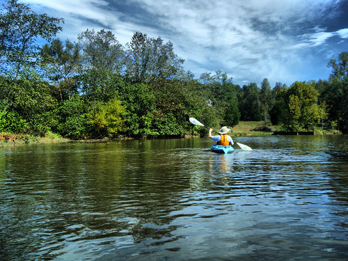
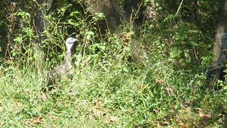
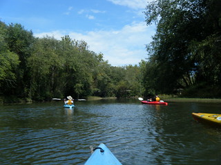
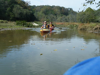
While we were well out of sight of the dredging operations, we continued to hear the sounds have heavy machinery for quite awhile. The river itself was peaceful, though, and we couldn’t ask for better weather. We spotted a heron and several wild turkeys along the bank.
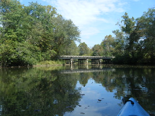
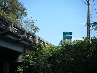
We met two more paddlers coming downstream who were fishing from their kayaks. The had launched at Farrs Bridge from a friend’s house. Soon enough we rounded a bend and came in view of said bridge – Highway 183 from Greenville to Pickens.
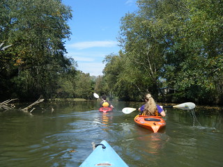
The sounds of construction had faded, and as we continued upstream the highway sounds also went away. Along this stretch there was more open land with only a few houses. Some of these were very nice estates.
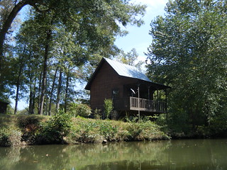
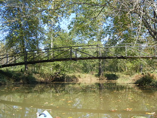
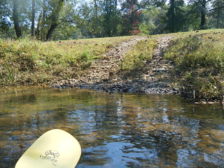
One particular estate consisted of a log cabin with TV dish, and a utility building that had been expanded to include a screen porch. They had a very nice footbridge spanning a creek. We decided to paddle under their bridge and explore the creek. We got as far as a ford with a rock bed before we had to turn around.
Back on the main stem we decided to continue upstream for a bit. I checked Google Maps on my phone, and spotted a large island on up a bit. I had remembered that Dave and I had paddled around the east side of the island, then returned on the west side. It seemed like a good place for us to turn around for this trip, too.
We reached the island pretty quickly. The east channel was fairly narrow, and reminded me more of other upstate rivers.
When we rounded the island and turned downstream we began to notice the current because we could float along with it. The west channel was much wider. About midway past the island a cove opened to the west through some weeds and lily pads. Pastures with cows ringed the cove.
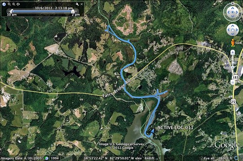
We continued on downstream the way we had come. The time had passed quickly, and our two hour paddling trip had expanded to three hours on the water. In that time we paddled 5.84 miles, according to the GPS. Here’s a map of our route…
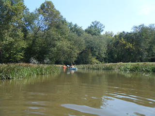
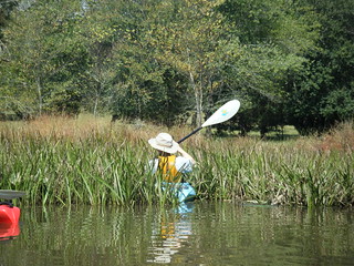
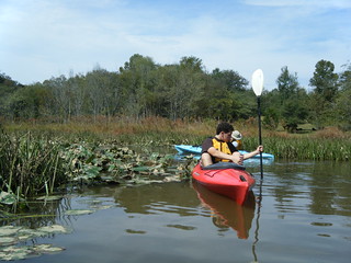
…and here are the rest of the photos from the trip…
When the dredging process is done there will be much better access to all parts of the lake. Unfortunately, I’m afraid large boat traffic is also going to increase, making it less attractive to kayaking. I guess we’ll have to see. Speaking of access, I like what Frank is trying to do with Saluda Landing. However, I do think his launch fees are excessive. He’s got a monopoly right now, but I wish he could set up one set of fees for trailered boats with motors, and one for canoes and kayaks. Until then, if you have time, I recommend heading on over to the public park on the Pickens side if you want to launch. Still, regardless of how you get there, Saluda Lake is a nice paddling refuge very close to Greenville.
