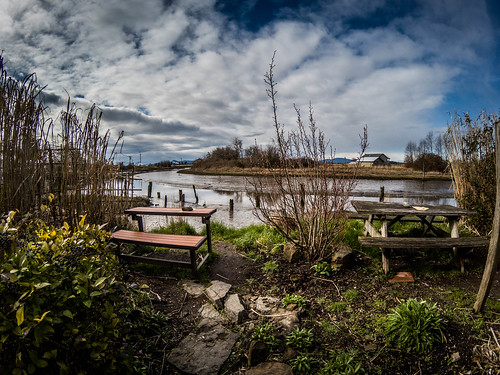
The past several days we have had the coldest weather for this winter. Snow has made its way down to the lower elevations, but for us it’s just been rain and wind. Even so, we were able to get out and about a bit. Here are some of the photos that just didn’t make it into other blog posts.
Preface: Writing this it occurred to me that I’ve used the phrase, “As many times as I’ve _____ I’ve never _____” over and over in recent blog posts. Stands to reason. When we’ve been here on previous trips we had limited time and wanted to make sure we hit the highlights. Now I get to explore the little nooks and crannies that are often overlooked, but which give a locale its character.
Lyman, Hamilton, and Highway 9 North
After I visited the Northern State Hospital Park I did a bit more exploration. As many times as I’ve driven up Highway 20 and seen the signs for them, I’d never really been through the towns of Lyman and Hamilton. This time as I headed east on 20 I turned onto the Lyman-Hamilton highway to check out those towns.
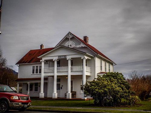
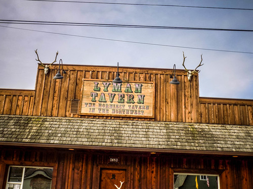
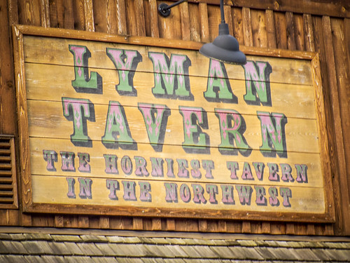
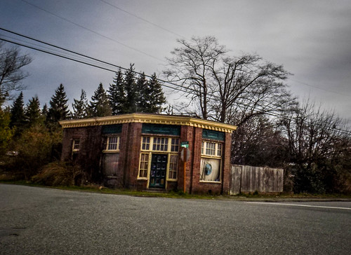
Both of these are now just wide spots on the way up to the mountains. Some of the commerce has moved out onto the main highway, but the original town centers are off to the south, closer to the Skagit River. Lyman was up first. The town hall looks like an old house, and there was an interesting bar that wasn’t open. I might have checked it out, had it been.
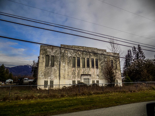
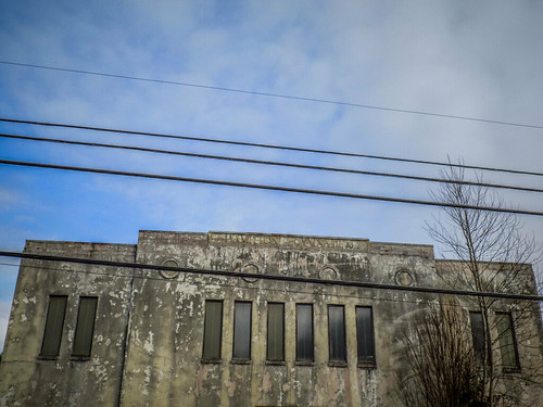
Hamilton wasn’t much bigger. There was an interesting building with the words “Hamilton Gymnasium” set in concrete. I’m guessing it was part of a school at one time. There were a couple of stores and a cafe. I still didn’t stop.
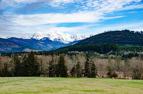
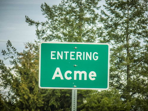
From there I headed back to Sedro-Woolley, then turned north on Highway 9. The road runs through a beautiful farming valley along a branch of the Nooksack River. There were fantastic views of Mount Baker, and I drove through the town of Acme. I looked for the anvil and rocket factory, but didn’t see it. There wasn’t even a catalog distribution center.
At the town of Deming Highway 9 intersects with the Mount Baker Highway. I turned east, wondering how far I could make it up the mountain before I had to turn back. The road conditions weren’t bad and I probably could gotten quite a ways up the mountain. A sign stating that snow chains might be required gave me pause, but so far things were still clear. I turned around, not from fear of snow, but because the day was getting away from me. Despite the scenery, for whatever reason I didn’t take any photos along this section.
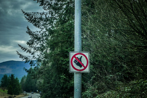
I came back down to Deming and headed on into Bellingham for lunch, then took I-5 home. One traffic sign along I-5 has always amused me, so this time I took a moment to capture it.
These are at every entrance ramp in Whatcom County this is the only place I’ve seen them. Every time I see them I interpret them as, “No thumbs up – things are not great.”
Oysters and Music
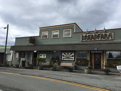
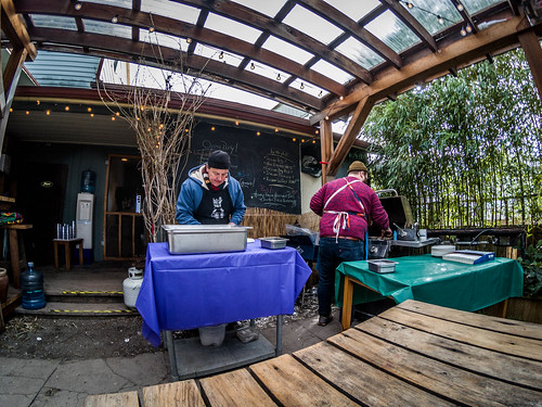
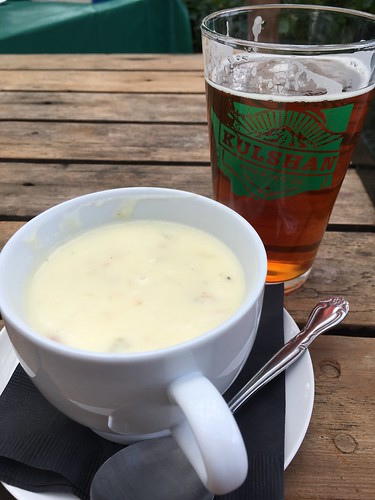
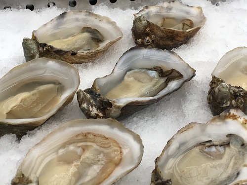
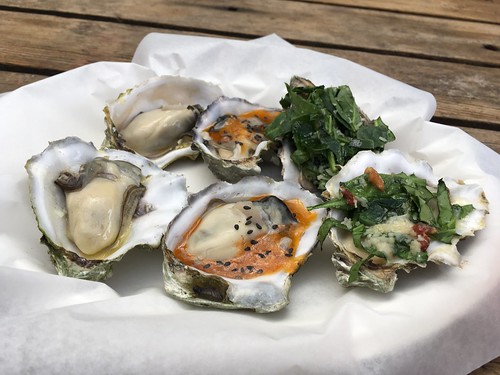
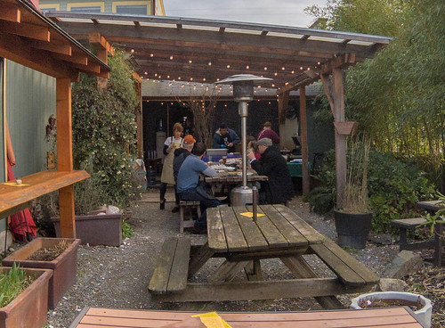
This past Sunday was another oyster party at Slough Foods. Duff really wanted to go, but had to work. I told him I’d eat enough for him, too. John put on another excellent spread. I had pretty much the same line-up as last time – six raw and six grilled. I even added a cup of clam chowder. I was surprised that even as cold as it was the outside event was well-attended.
Afterwards I headed on into town. I had another Irish Music session at the Littlefield Celtic Center. Snow and bad weather had kept most at home. Only five of us showed up. I played a bit, but was starting to get a headache so I headed home.
Mountains and Ice
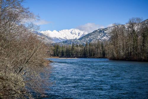
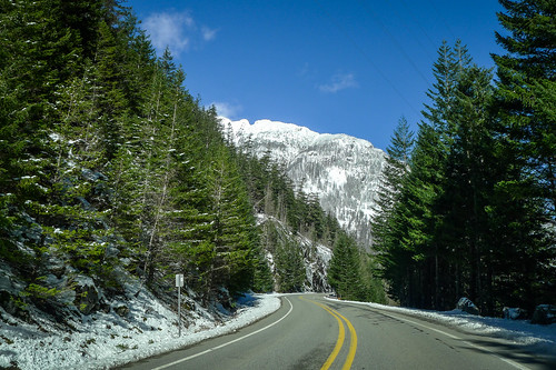
The sun had come out and Mount Baker and the closer mountains glistened white against the blue skies. It was very compelling. Laura and I decided to see how far we could get up into the mountains.
We headed up the Skagit Valley along Highway 20. There were dabbles of snow all along the route, but the road seemed clear. When we got to the elk viewing area Laura wanted to stop, which we did. Sadly, there were no elk or other wildlife to be seen. I guess they were all hunkered down.
We decided to head back down to Baker Lake Road. It was in much worse shape than Highway 20 and Laura was afraid we would get stuck. A couple of vehicles passed us carrying snowmobiles. We found a safe place to turn around a few miles up the road.
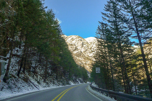
Back at Highway 20 we decided to continue upriver since the road still looked clear. There were a couple of places with icy slush, but for the most part it was clear from Concrete up to Marblemont. We were concerned as we headed on into the Northern Cascades National Park, but it was clear all the way to Newhalem. A sign said that the road was closed 14 miles further. This is past the Diablo Lake overlook, so we decided to go for it.
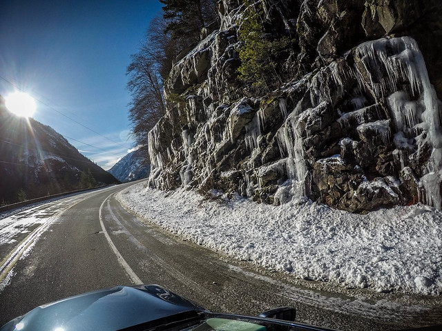
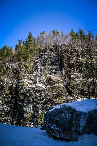
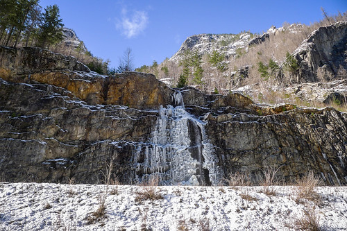
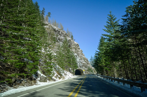
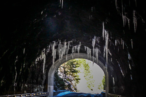
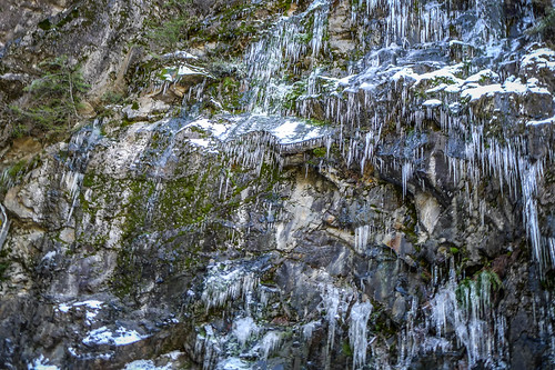
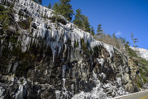
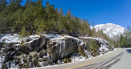
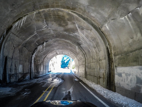
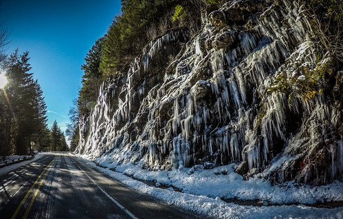
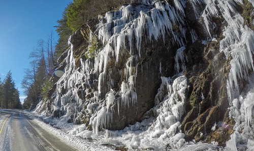
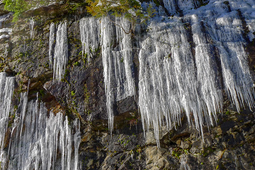
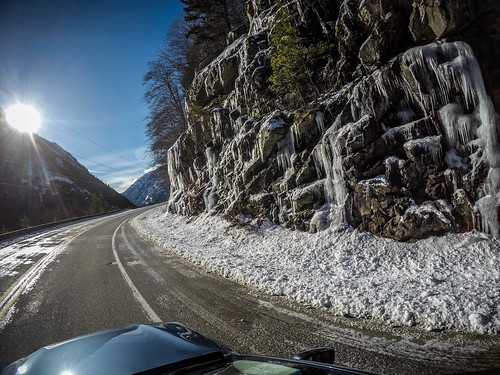
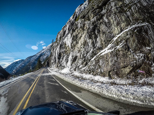
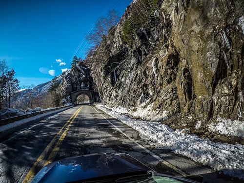
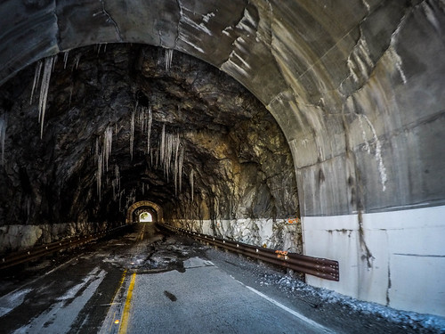
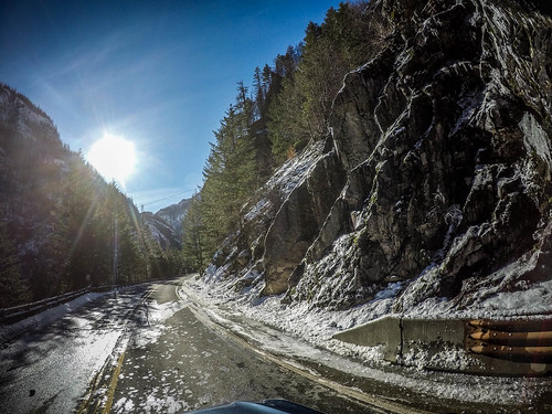
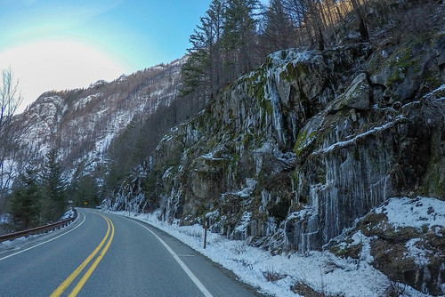
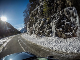
As we drove further into the mountains Laura spotted dramatic icicles on the sides of the road. These were also hanging from the ceilings of the two tunnels. We took a few photos on the way up, but reached a point where we thought it would be best to turn around. The rest of the way would be in the shadow of a mountain where there would probably be more ice.
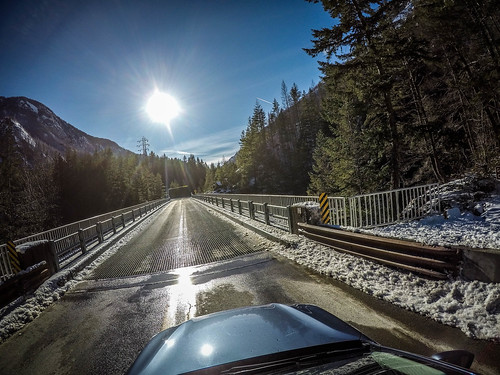
On the way back we took even more photos. Laura shot photos from her side while I held the GoPro through the sun roof on a selfie stick. Here’s what we got…
