It was a Second Saturday. Normally Alan and I would be out with our friends from Lowcountry Unfiltered exploring some river or other historic locale. There were several last-minute conflicts, so the trip fell through this month. Alan and I were still up for a photo trek, so we decided to head out on our own. We took the opportunity to revisit one of my favorite locations, the Long Cane Creek Historic Area and Sumter National Forest.
We had some specific targets in mind. However, with the beautiful morning light, it was hard not to be distracted by every old barn and homestead along the way that looked like a photographic opportunity. We would have only gotten a few miles from home if we had given in. We kept going until we crossed the border into Greenwood County, stopping first at Donalds Depot.
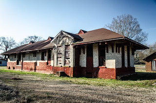
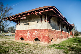
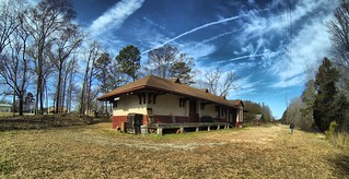
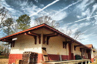
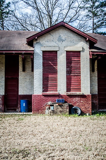
I had visited this location once before with fellow explorer Mark Elbrecht. This depot once served the Piedmont and Northern Railroad, and was part of a chain of depots that served the small towns along the line. Depots with the exact same architecture and paint scheme were in the towns of Pelzer and Piedmont until they were torn down.
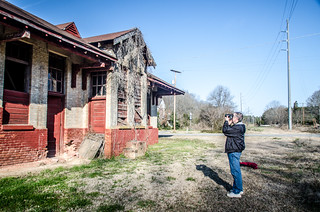
We wandered around the building, and were even able to get a couple of shots of the interior.
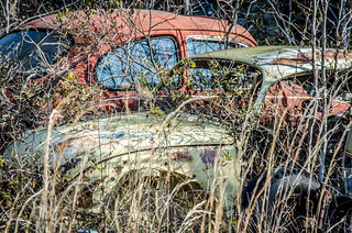
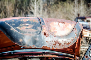
Our next target was Greenville Presbyterian Church, just south of Shoals Junction. However, something caught our eye, and we had to turn around to investigate. Along Highway 178 just below Donalds was a cemetery of a different kind – a Volkswagen graveyard. When Alan and I first met at Furman 34 years ago, we were both driving red VW Beetles. We have both owned multiple VWs over the years, so we thought it fitting to take a few shots of the rusting cars.
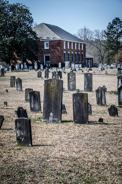
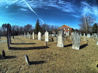
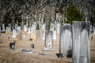
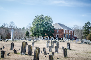
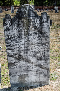
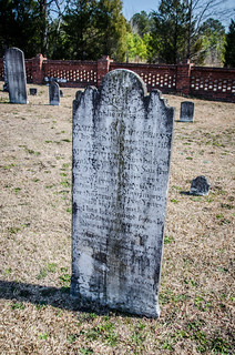
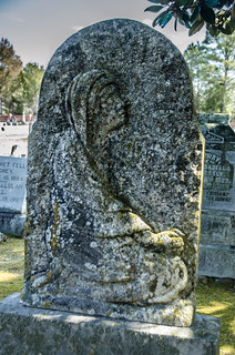
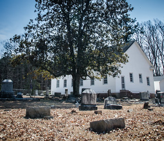
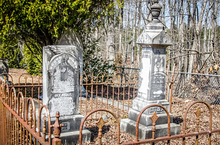
After the distraction we made it on down to Greenville Presbyterian. I’ve always wondered how this church got its name, seeing that it’s 50 miles from Greenville. Regardless, the cemetery has one of the most extensive collections of signature headstones that I’ve ever seen. It was almost as if W. T. White were on retainer from the church to carve headstones. There were multiple door-sized slabs, and it looks like the church is doing an excellent job of preserving these monuments.
I thought this might be a good opportunity to try out SpinCam. Keith Dover had shared this iPhone app with me over a year ago, but I hadn’t really played with it. I’ll write more about it later, but SpinCam basically lets you create a controllable 360° image. Here’s the SpinCam I did of the Greenville Presbyterian Cemetery…
This one was done by stand in one place and turning around with the iPhone. I also found that you can walk around an object and create a 3D view of that object. This would be perfect for examining all sides of a headstone. Here’s a Spin of one of the headstones…
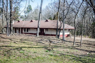
We spent a good bit of time at Greenville Presbyterian, but it was still early, and we had other places to visit. We headed south toward Hodges, and had to stop at the Hodges P&N Depot to compare it with the one in Donalds.
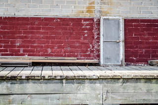
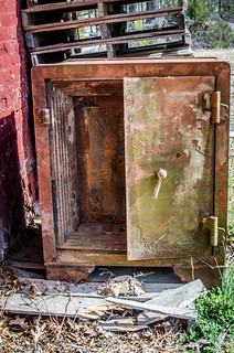
This one was in much better repair than the one in Donalds. The loading dock was still intact, and the light fixtures looked like they had been restored. There was also an interesting old safe leaning against one side of the building.
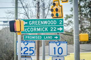
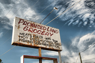
From Hodges we drove into Greenwood, skirting the edges of town. We spotted a sign pointing us to the Promised Land…
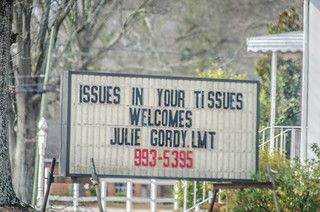
…and right next to it one of the most disgusting signs we had ever seen…
It was for a massage place, but with a name like that I don’t think I’d ever want to visit.
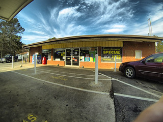
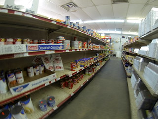
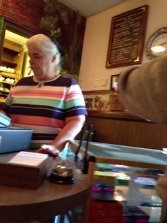
Promised Land, South Carolina, was founding in 1870 as part of the land resettlement program for recently freed slaves. The community has been historically African American, with Mount Zion AME Church serving as a community center. We reached Promised Land Grocery at about 10:40 am. Once again, the incredible smells of fried chicken wafted through the air, but we were a bit early for lunch. Alan and I went inside, and had to be satisfied with odors only. We purchased a couple of drinks and snacks, but that was it. The proprietors were very friendly, and the woman behind the counter spotted Alan’s Nikon camera strap, and wanted to engage in a debate over which was better, Canon or Nikon? I told her that it was neither, but rather, the person behind the camera that mattered.
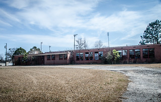
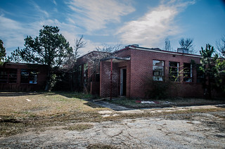
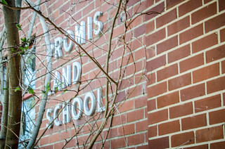
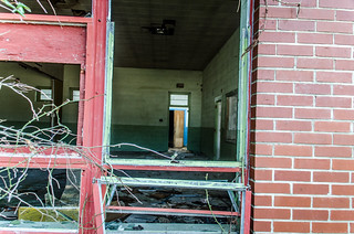
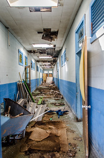
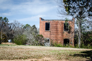
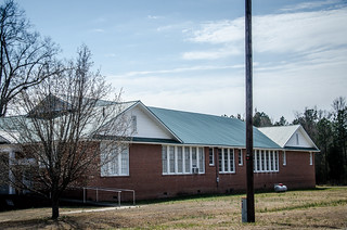
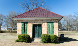
Just beyond the grocery store on the left of the road we spotted an abandoned school and decided to check it out. Promised Land School was one of South Carolina’s “Equalization Schools.” According to the SC Equalization Schools website…
In 1951, South Carolina passed its first general sales tax in order to fund African American school construction. This attempt was to create “separate but equal” schools to forestall an order by the Supreme Court requiring desegregation of the state’s public schools.
While this program ultimately did not succeed in creating truly “separate but equal” educational facilities for black students, the program did transform the architecture of education in South Carolina.
South Carolina spent almost $100 million on black school construction in the first 6 years of the program. Prior to 1951, the state had only 80 accredited high schools for African American students. By 1957, the state had 145 black high schools.
The project funded both black and white schools so that white voters would be willing to approve the project. The schools from this time had a distinctive architecture, and many of these replaced the old Rosenwald Schools. Many have also been abandoned, as schools were consolidated during desegregation.
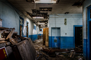
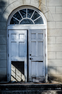
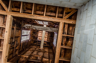
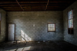
The doors were cracked open, and open windows also gave us a peek inside. We didn’t venture inside, but just satisfied ourselves looking in.
Next up was the community of Verdery. I had it on my list of ghost towns to check out. This was probably just a whistle stop on the railroad, and not ever a real town. There was a large house, several other residences, and one old country store that had long since ceased to be used.
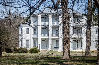
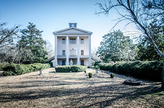
From Verdery we headed west toward the historic Cedar Springs area (NRHS link here). Soon we arrived at the Frazier-Pressley House. It looks like some restoration has taken place since the last time I was here, and it looks more occupied.
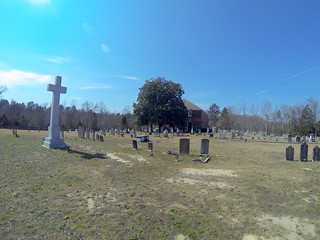
Just around the corner from Frazier-Pressley is Cedar Springs ARP Church. The first thing I noticed was that they had added a huge cross in the middle of the cemetery. I didn’t remember that the last time I was here, and in my opinion it detracts from the historic nature of the site.
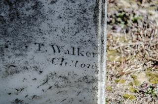
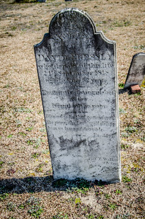
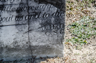
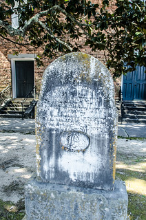
The cemetery doesn’t have the density of headstones that Greenville Presbyterian has, but there is quite a variety here. There were quite a few signature stones that I didn’t recognize. W. T. White was just as active here as he was at Greenville Presbyterian, but J. Hall and others were also producers. The styles were quite different. For example, here is a T. Walker stone…
…and here’s a stone by J. Hall. Note Hall’s florid style…
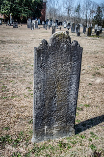
One stone was finished beautifully on one side, but very rough on the other.
I did a SpinCam of this stone…
There were quite a few unusual stones. This one had a wonderful bas relief on the back side…
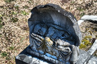
…and this one had a creepy baby on the half-shell…
From Cedar Springs we headed toward a couple more of my potential ghost towns. First up was the town of Bradley. While it looked like a neat little town, it was far from a ghost town. We didn’t stop, but kept heading southwest.
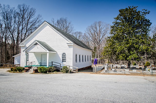
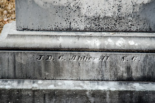
Before we got to the next town we spotted a sign for Mount Horeb Baptist Church, founded in 1841. With a name like that and an early founding date, how could we not stop? We found a little white frame church on the other side of the railroad tracks from the main highway. We got out to take a quick look at the cemetery. There weren’t any of the large, very old signature headstones, but there were still a few interesting ones. We did find one signature from JBC in Abbeville.
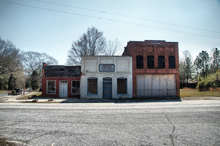
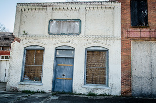
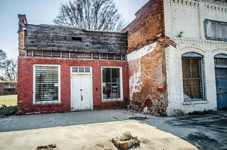
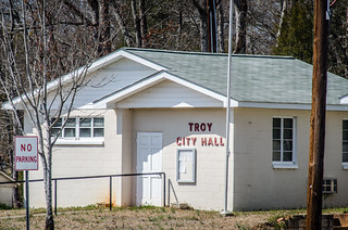
We finally made it to the town of Troy. It had a fairly modern town hall and lots of residences, so it didn’t really qualify as a ghost town, but the old business district had some interesting abandoned buildings.
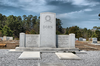
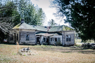
We drove through the old cemetery, which had mostly mid-20th cemetery stones. There were a few old houses, including one bizarre one, nad one that was in ruins.
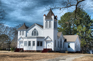
Around the corner was a couple of interesting buildings Troy ARP Church is a large white frame church with beautiful stained glass windows. Across the street was a typical small Baptist church – brick, Greek Revival. There was an old cabin, and the old Troy School.
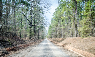
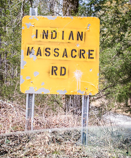
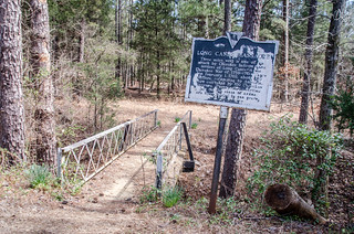
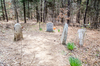
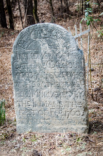
We were in the heart of Long Cane country. A sign pointed the way to the Indian Massacre site, and we had to check it out. The pavement soon gave over to dirt road. Fortunately there were signs pointing the way to the location. The mother of Patrick Calhoun, as well as several other early settlers, were killed by Cherokee in 1760. A footbridge led across a gully from the parking area to the stomes marking the site.
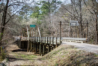
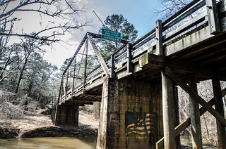
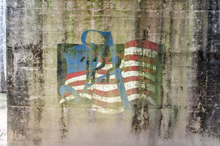
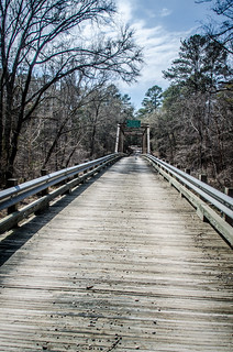
Back on the road, we eventually reached an old steel bridge crossing Long Cane Creek. This bridge was too old to be the location of the old covered bridge that burned in the 1970s, but it was still interesting. My dad took me to see the old wooden bridge when I was in my teens, and Houston, Jr. took a great photo of the old bridge. Since we couldn’t see that location, though, this one would do.
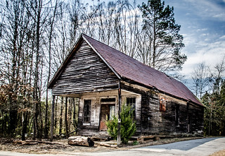
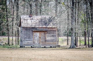
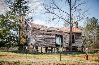
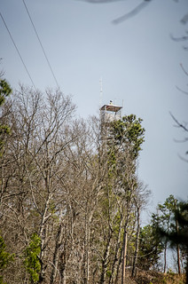
By this time it was nearly 1:00 pm, and we were getting hungry. We continued through Long Cane area and the Sumter National Forest area. We paused at an old cabin and photographed it from the car, and we drove into the Parson Mountain area to take a quick photo of the fire tower there.
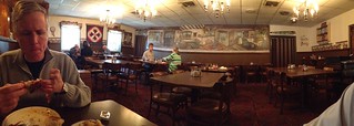
Since we were close to Abbeville, we sought out Yoder’s Dutch Kitchen. We got there at 2:00, and were happy to see that they served lunch until 2:30. We both got fried chicken and vegetables. It was good, but I have to confess that Promised Land Grocery had better flavors.
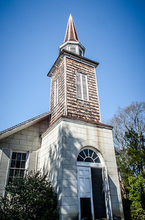
We were getting tired, but we had a couple more stops. Alan’s great grandfather was in Congress, and grew up in the Cokesbury area. We drove up that way. After a couple of miscues, I found the old college area. The old Mount Ariel Church was open, the door having been demolished by something. The exterior is much more interesting that the interior.
This was the first time Alan had visited the area, so he was keen to take lots of photos. We both wanted to jump the fence and wander the grounds.
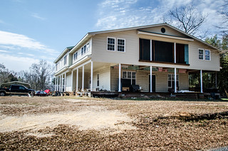
We had one last place to visit. Alan’s great grandfather lived in a house at the intersection of Highway 246 and Old Lauren’s Road. The house had recently been remodeled, and looked beautiful. I didn’t get out to take photos, but Alan did.
It was a great day out and about. I can come back down to this area time and time again and still find new things to photograph. Below is a slideshow of the all of the photos I took…
Here is a map of the locations we visited…
View 3-9-2013 Promised Land and Beyond in a larger map





What a great day! Thanks!
Enjoyed the post, esp the info on Promised Land.
Maybe 100 feet up that side road from the Donalds Depot is the Donalds UMC. Not sure if the church is still in business, as the sign wasn’t on the post. But it is a flat out beautiful white wooden church. Mom had seen this from the highway (I think), so we rode over there Saturday. I took some pix, but didn’t really explore the site due to needing to get on back to PK. The Depot is a cool looking building. My lighting was a lot different than what you guys got.