It’s spring break for most of the Upstate school districts, and I wanted to search for a few ghost towns. Mark Elbrecht and I had bounced around some possible targets, and after looking through the South Carolina section of the Abandoned Rails website, we decided to try to find Shoals Junction, at the end of the abandoned Ware Shoals line. We would also hit a couple of other smaller communities and see what we could find. Turns out we could hit lots of communities – eight of them in all. I’ll try to summarize them here.
Ware Shoals
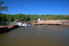
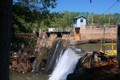
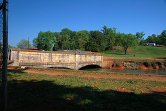
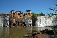
We set out down Augusta Road eventually reaching the eastern terminus of the railroad in Ware Shoals. We took a turn through the town, then headed down to the river. We drove through the riverside park, then circled past the power generation station. There were several workers, and we felt awkward stopping for photos. We retraced our steps upstream and headed beyond the bridge crossing the Saluda River. We soon reached the Ware Shoals Dam.
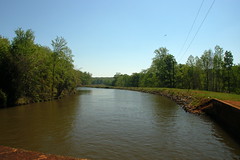
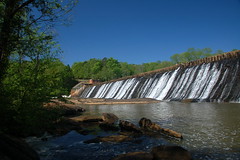
At the top of the dam water is diverted into a canal so that it can be routed through the power turbines below. With the recent rain lots of water was flowing over the dam.
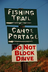
An old masonry staircase led down to the river. As sign pointed to the “Fishing Trail” and “Canoe Portage.” I guess the portage was around the dam, but I couldn’t see where one would take out a canoe at the top of the dam. I guess it would be more obvious if I were on the river.
Down at the river we had a clear view, if not a bit disconcerting view of the dam. I was hoping they didn’t decided to open the floodgates at that particular moment.
We lingered a bit more, then headed on toward our destination. We drove through the town once more. In a previous post I had categorized Ware Shoals as a “near ghost town.” I think I was thinking of the old mill village and the then-abandoned Ware Shoals Inn. A reader took me to task for that assessment in that post and I have to agree with their comment. There is far too much going on for the town to be classified as even a “near” ghost town.
Shoals Junction
We soon found our road toward Shoals Junction. There were signs marking the community.
Mark had found a website on the history of the area run by longtime resident Ralph Campbell. Mark had contacted Mr. Campbell to see if we could visit some of the historic buildings on his property. Unfortunately we didn’t hear from him, so we restricted our explorations to what we could see from the road.
The area was also known as Barmore or Barmore’s Turnout. A 1902 soil map of the area shows the community with this name.
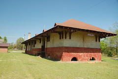
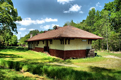
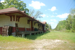
According to Mr. Campbell’s website, the last depot burned down in 1930. The current one on his property was brought from Lockhart, SC, presumably by Mr. Campbell as part of his collection. The depot doesn’t appear to be near original railroad line.
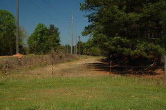
We could see hints of the old line, though as raised right-of-way lines through the community.
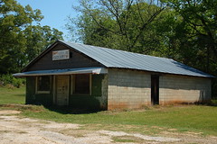
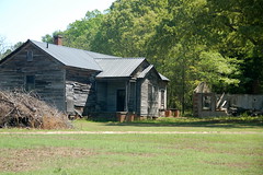
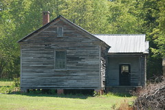
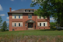
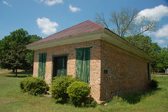
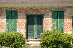
One building caught my eye, and I really wish I could have explored further. It had the shape of one of the old Rosenwald schools, although it’s a bit smaller than I would have imagined.
Here is a floorplan for a typical Rosenwald school…

I’m still not sure if this is a Rosenwald School, but upon checking the GNIS data this appears to be the old Algary School. I was able to find a photograph in the School Insurance Photo Archives, and this building certainly has the same lines as the one I found.

As for Shoals Junction as ghost town there are still a few residences, but any resemblance to a town is long gone. It’s still a candidate for inclusion.
Donalds
From Shoals Junction we headed three miles northwest up Highway 178 to Donalds. There we found the old Donalds depot still intact. We paused for a photos.
The Seaboard Coast Line used to run through this area, but is now long gone. A 1976 photo shows the rails still in place. This wasn’t even the original depot. Archival photos show a wooden depot at one point. The current brick structure has the same architectural plan and color scheme as other Seaboard Coast Line depots in Hodges, Pelzer, and Piedmont.
Mark and I stopped by the old Donalds Grange where my camera threatened to stop working (hence no photos), then grabbed lunch in nearby Due West. From there we backtracked to Highway 178 and headed southeast. Along the way we could see the old railroad right of way.
Hodges
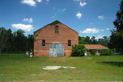
We reached Hodges and took a turn through the town. An old warehouse caught our eye and we stopped for a couple of photos.
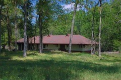
I knew there had to be an old depot somewhere. We did find it, across the highway and somewhat obscured by woods. It was in excellent condition and based on the same plan as the Donalds depot.
The archival photos show a wooden structure on the site. If I’m reading the naming scheme correctly, the archive photo was taken in 1961. That seems consistent with the automobiles in the old photo.
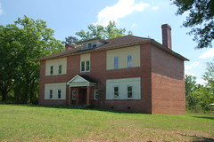
Also in Hodges we found an old school. Mark asked how I recognized it. My reply was that I had been around enough schools to be able to spot them. This one looked like it was undergoing repairs.
I found an old school insurance photo of this one, too…

Cokesbury
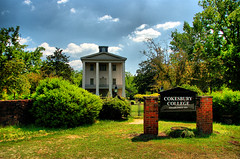
From Hodges we headed east to the community of Cokesbury and Cokesbury College. I had visited several times before, but it was Mark’s first visit. We first took photos of the main college building. One of these days I really want to go inside.
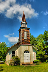
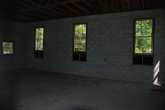
The old Mount Ariel Church was illuminated nicely so we took a couple of shots there including one of the interior, which turned out to be quite empty.
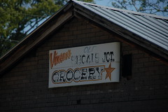
There were also a couple of obligatory shots of the small store across from the college.
Coronaca
Continuing east one comes to Stony Point then Coronaca. Coronaca is one of those communities just on the verge of being a ghost town. On Highway 221 there is a large Piggly Wiggly and service stations. However, half a mile from the main highway is the old main street with a row of old storefronts.
There are also a couple of older buildings near the railroad, but there didn’t seem to be any sign of an old depot, nor did I find one in the archives. However, one is indicated across from the storefronts according to the old Sanborn Fire Insurance maps.
Waterloo
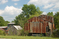
From Coronaca we snaked our way across Lake Greenwood then back around to Waterloo. This is another one of those iffy ghost towns. It’s on the main highway and there is a new elementary school with that name. There are also quite a few houses. However, any semblance of a town is no longer there. There is an old cotton gin…
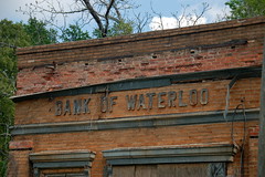
…and two storefronts. Well, actually, an old bank and a storefront.
Mountville
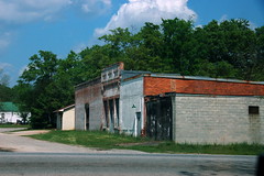
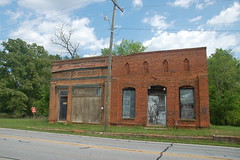
One last stop – Mountville. Again, there are several houses in the area, as well as the wider community known as “Mountville.” And, like so many of the ghost towns I’ve visited, a row of old storefronts sits off to the side, removed from a newer main highway.
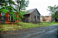
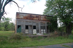
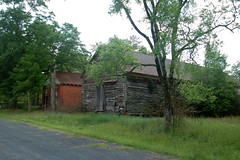
The buildings include a grange building, a warehouse, and what appears to be a storefront.
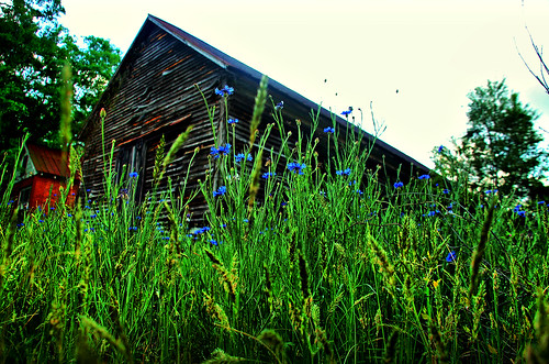
…and one parting shot of the old warehouse, with flowers.
All in all a successful day. Here is a map of the locations…
View Shoals Junction Trip in a larger map




Thanks for the trip! I had a great time and hope to do another again sometime. I’ll be a few more days before I have time to post my own take. In the meantime, a few questions about the depots we photographed have been answered thanks to this site: SCdepots.com.
The Shoals Junction page has some close-up pictures of the depot we were forced to photograph from the street.
The Donalds page identifies the red brick building as the P&N depot. And also that the blue wood building right next to it (now a residence) was the Southern Railroad depot which is the one shown in the railroad archives.
The Hodges P&N page identifies the red brick building (like the one in Donalds) as an P&N depot. Another of its pages on Hodges identifies the ‘warehouse’ as a former P&N substation. According to their Southern Railroad depot in Hodges page, we missed that depot. Drat 🙁
Some quick research confirms the school you found is indeed the Algary school. You nailed it! The property is currently owned by the same guy that runs shoalsjunction.com. I found a deed that lists the address of the school exactly where we found it.
In your search for the Shoals Junction line. Do you remember every coming across any information about a Stagecoach Inn near Greenville Presbyterian church sometime between 1788 and 1795?
lookin for that too but i’d guess it was nearer to Donalds given who was adjacent in the 1790 census.